
Hockanum of Hadley is dominated by the Mount Holyoke Summit House.
Category: Uncategorized
The Second Parish Neighborhood of Granby
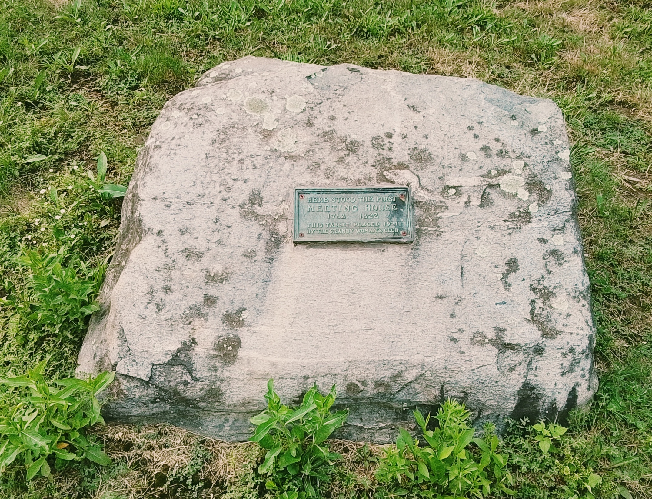
The Second Parish Neighborhood of Granby was at the corner of West and Amherst Streets. There at the northwest corner was a meeting house.
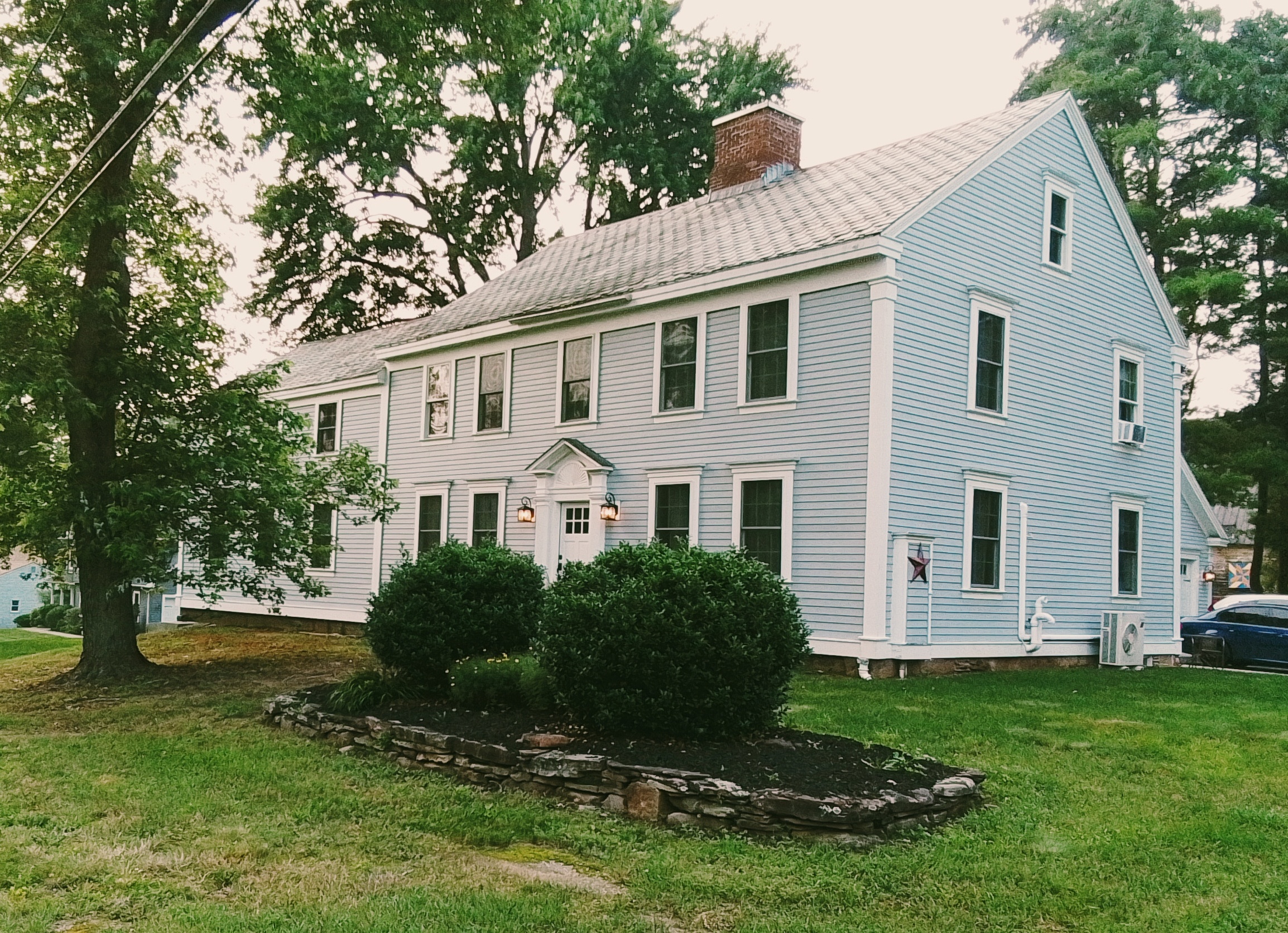
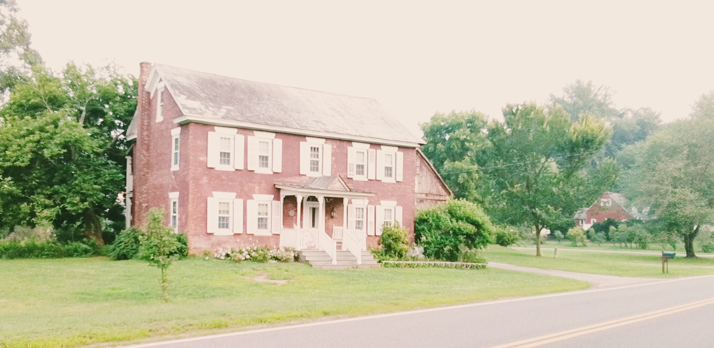
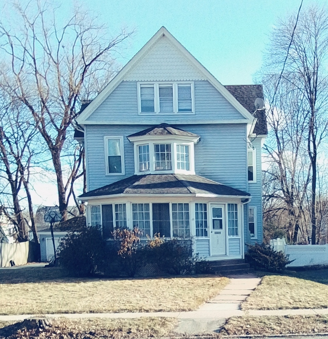
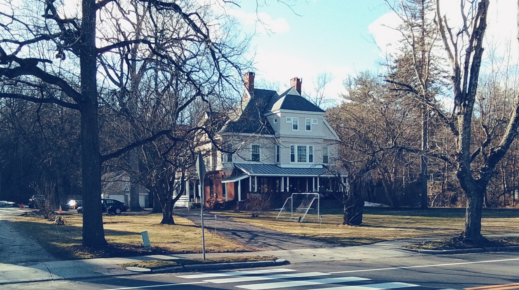
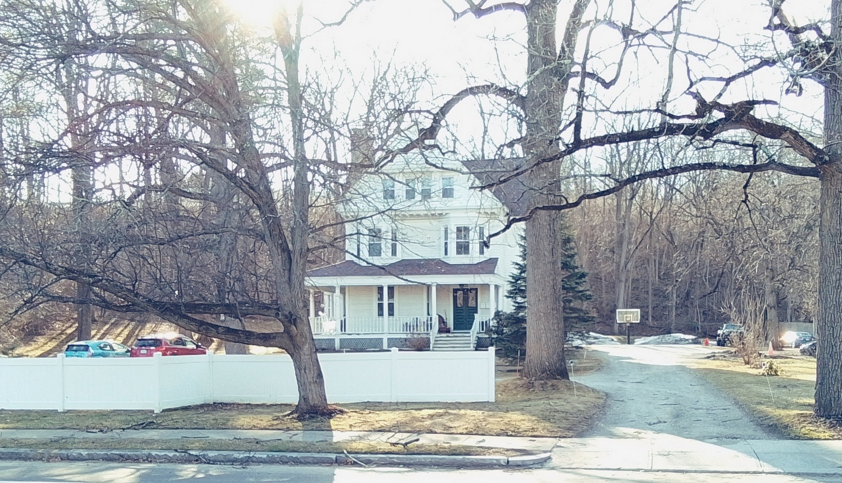
130 West Street (at the NW corner of Amherst and West Streets) – Levi Smith house and tavern from the 1760s – Georgian style
129 West Street (at the SW corner of Amherst and West Streets) – Azor Moody and Clarissa Hayes – Azor Moody Store and Button Factory – early 1800s in Federal Style – later owned by Frederick Taylor who owned a paper mill on Aldrich Lake – his son Joseph Knight Taylor would died in the Civil War (FINDAGRAVE)
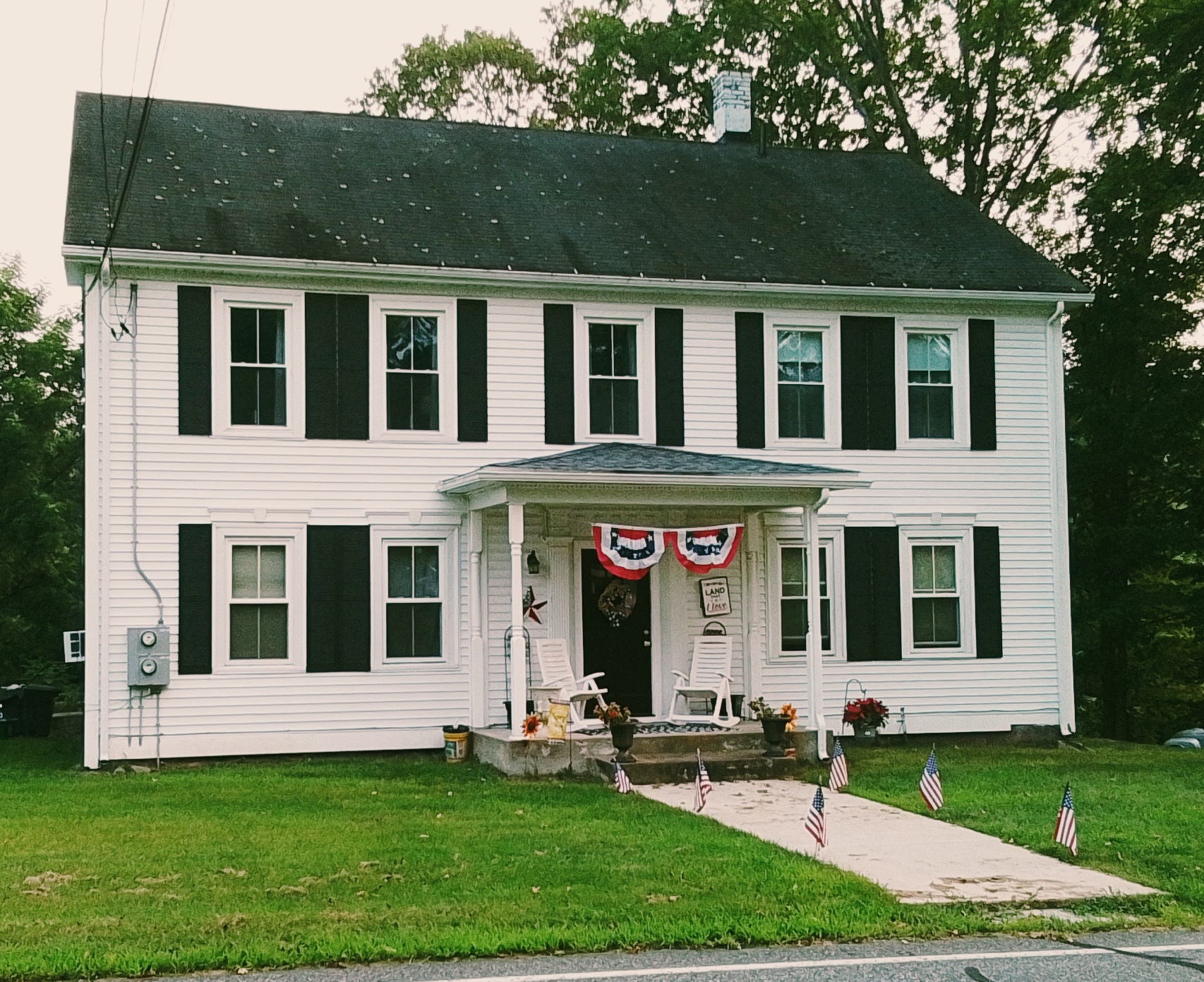
124 West Street (at the NE corner of Amherst and West Streets) – Timothy Smith and Hannah Moody – FINDAGRAVE
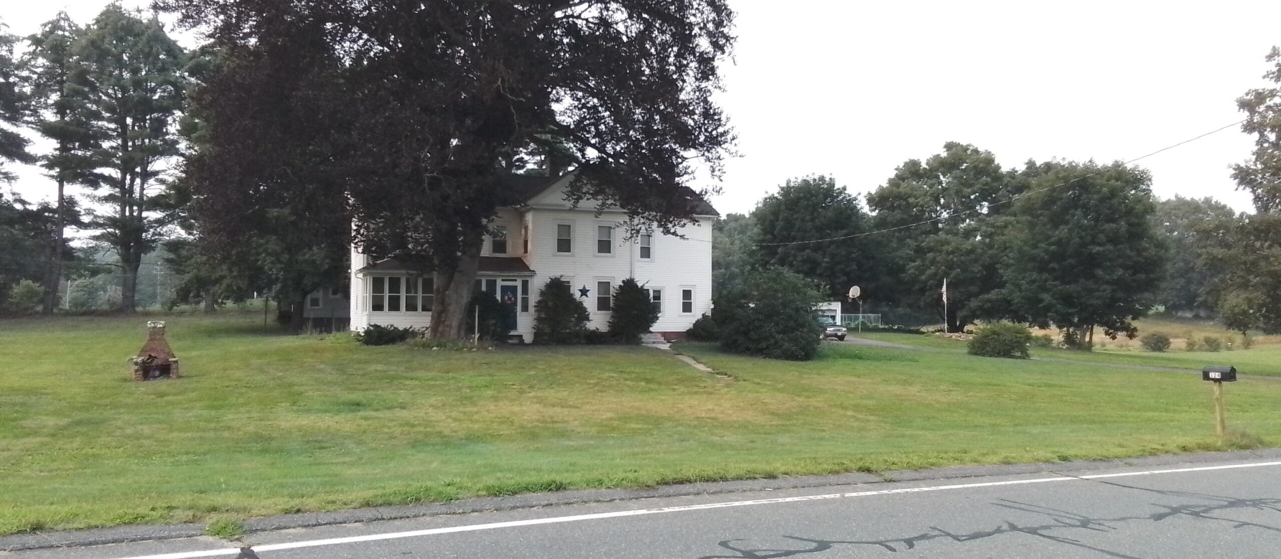
96 Amherst Street (at the SE corner of Amherst and West Streets) – Reverend Eli and Hannah Moody – this is the parsonage of the West Parish Church – 1830
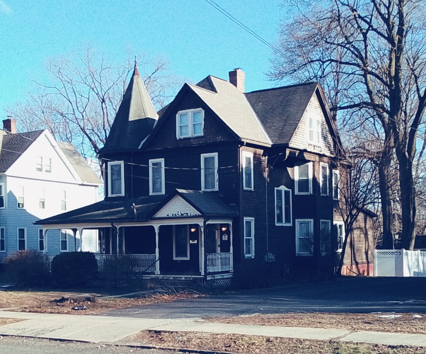
86 Amherst Street (one house in from the SE corner of Amherst and West Streets) – Chester Smith and Sophia Clark – FINDAGRAVE – house is 1806
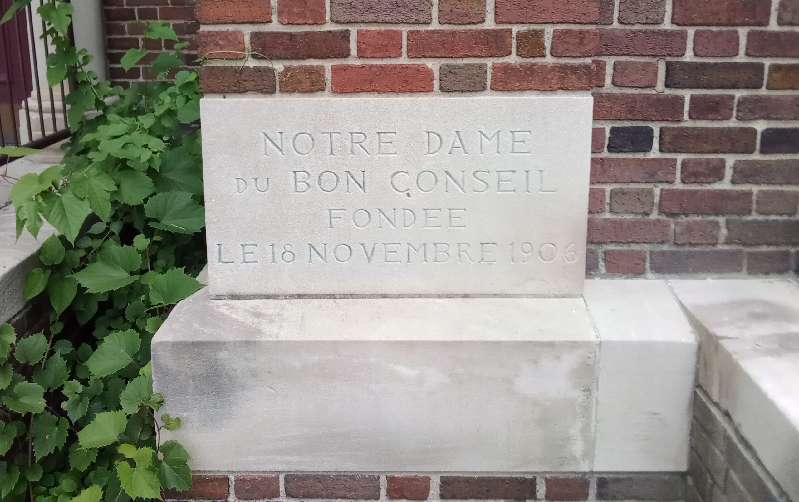
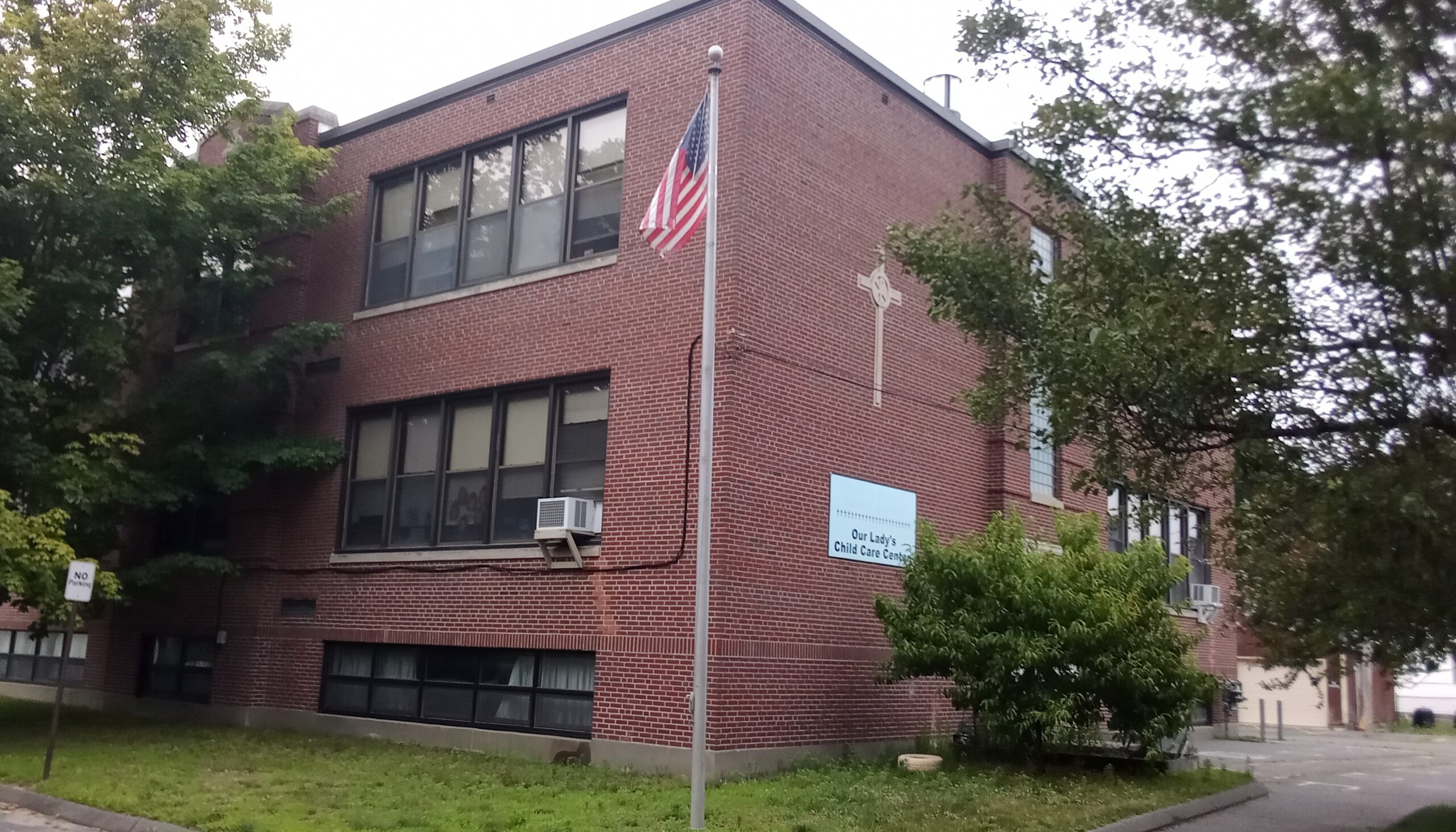
Notre Dame du Bon Conseil Church
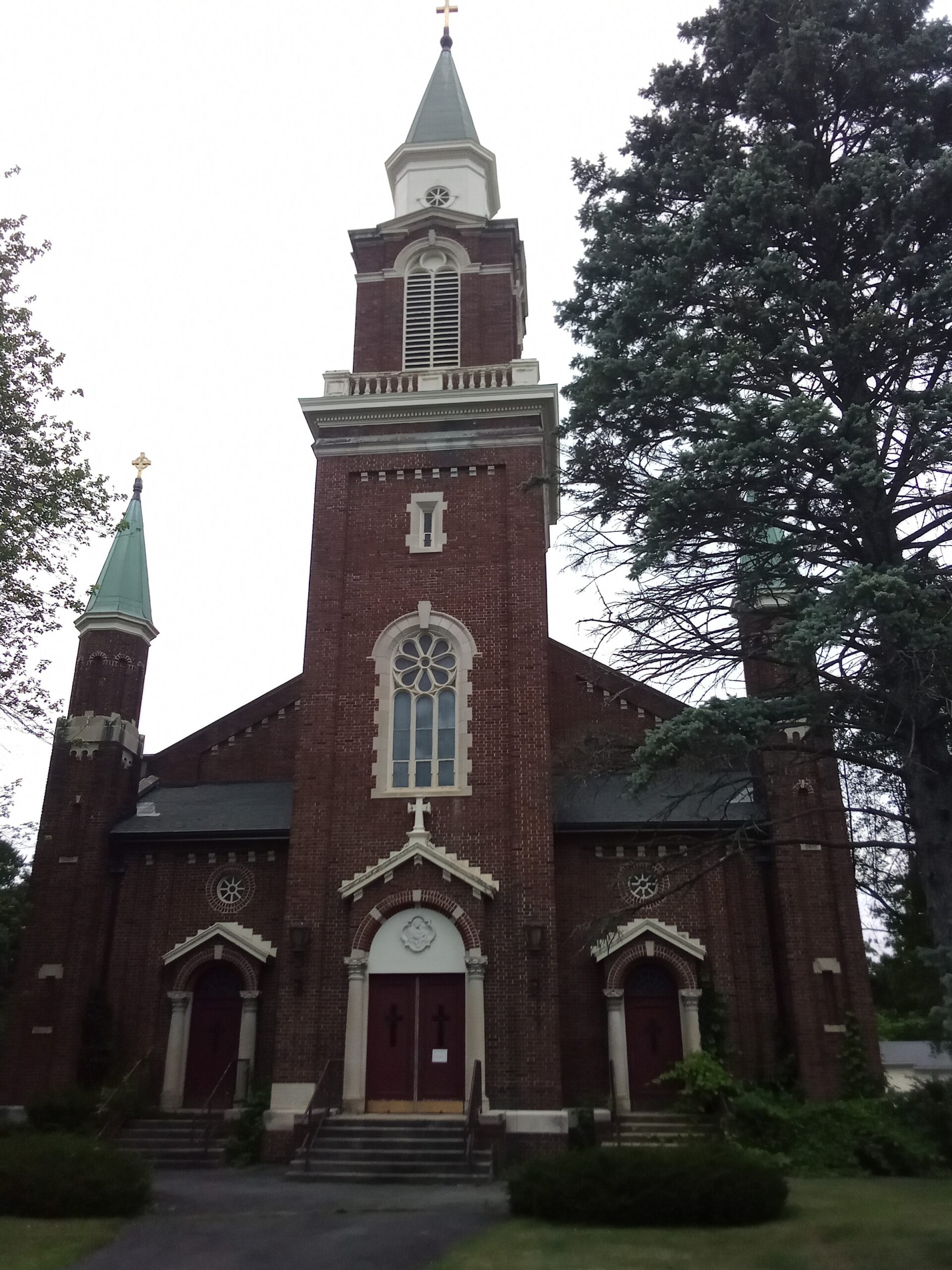
Notre Dame du Bon Conseil Church is in Easthampton Massachusetts. This church was founded on November 18 1906 with its first church at 92 Union Street. The rectory was at 68 Union. The parish was founded in 1904. In 1912, the school was at 7 Center Street.
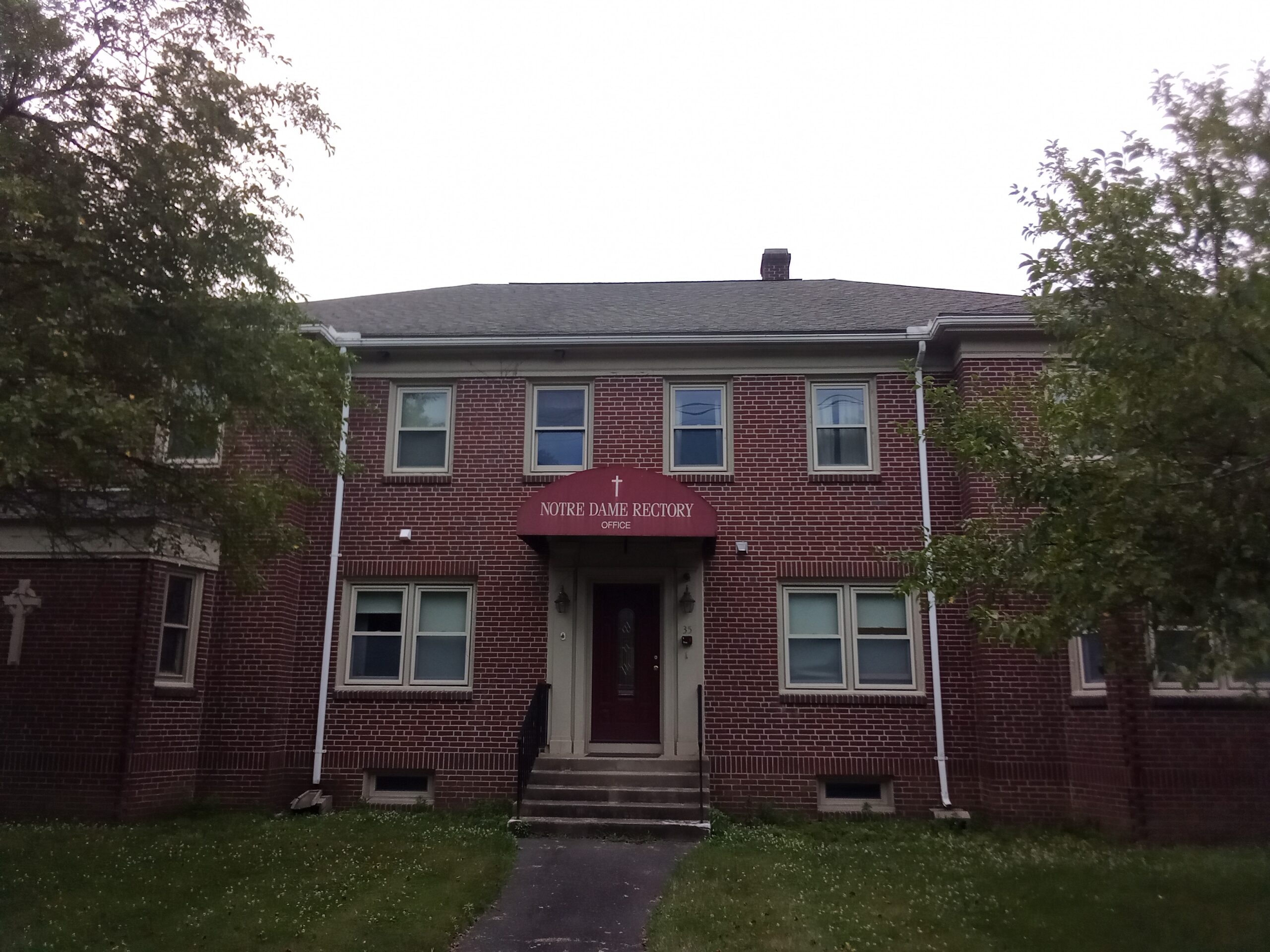
The church is now at 33 Pleasant Street having moved there in 1922. The George Hendrick house was the rectory. This was 27 Pleasant Street.
In 1929 the school is at 35 Center and 72 Union. The Convent is at 35 Center and the nuns are from the Sisters of Saint Joseph. In 1934 the convent is at 68 Union Street where the rectory was. It is called the Saint Anne’s Convent. The campus was sold in March of 2024 for housing.


| pastor | starts | ends | burial |
| Joseph I Lord | 1906 | 1915 | burial |
| Eugene Baril | 1915 | burial | |
| J P Bourassa | 1920 | burial | |
| Ambroise Buisson | at least 1929 | at least 1934 | burial |
| burial | |||
| Eugene St Martin | 1938 | burial | |
| burial | |||
| Fernand Roy | at least 1950 | burial | |

stop 1 – Notre Dame du Bon Conseil Church
stop 2 – Notre Dame du Bon Conseil Convent
Built in 1948 to replace one on Union Street which was from 1908. That 1908 was a house that served as both school and convent. In the 1980s this 1948 convent would become the rectory.
stop 3 – Notre Dame du Bon Conseil School
Built in 1948 to replace one on Union Street which was from 1908.
Sanborn map analysis:
1916 map has nothing on Pleasant Street.
Saint Stanislaus Bishop and Martyr Cemetery

Saint Stanislaus Cemetery was founded in the year 1923 as the Sacred Heart Cemetery. Its name was changed at some point.
Church
The Saint Stanislaus Cemetery belonged to the Sacred Heart of Jesus Church. The history of the church campus is HERE. The church land was that of Stanisław Popielarczyk – FINDAGRAVE

In the beginning the Polish ethnic group used the Immaculate Conception Church LINK and the Saint Brigid’s Cemetery LINK – but in 1907 they got their own mission church and then in 1909 the church. The second pastor Rev Wenceslaus Lenz of Sacred Heart was buried in the Saint Brigid’s Cemetery – FINDAGRAVE
Cenotaph

Views
The owners of the cemetery land were Wincenty and Waleria Tomaszewski – FINDAGRAVE


Funeral Home
John Czelusniak ran funeral homes in Holyoke, Westfield, Easthampton, and Northampton. He and his vast family is buried in this cemetery. FINDAGRAVE
Chapel
The chapel was constructed in 1952.

Priests

Stanislawa Zdebla


Stanislaus Wojcik

A second head pastor of the Sacred Heart of Jesus Church is buried here – John Klekotka. He is buried with his parents near the front LINK.
Earliest Burials
Frederick Szymanski is the first burial in this cemetery – 16 October 1923 – FINDAGRAVE.

Babies

Joseph Ciach is the first non-baptized baby burial in this cemetery – 24 October 1923 – FINDAGRAVE.
Donald Plourde – FINDAGRAVE


Grounds
Eugene F. Burgielewicz Sr. was the superintendent of this cemetery for 43 years.

Military Deaths


Beautiful Stones


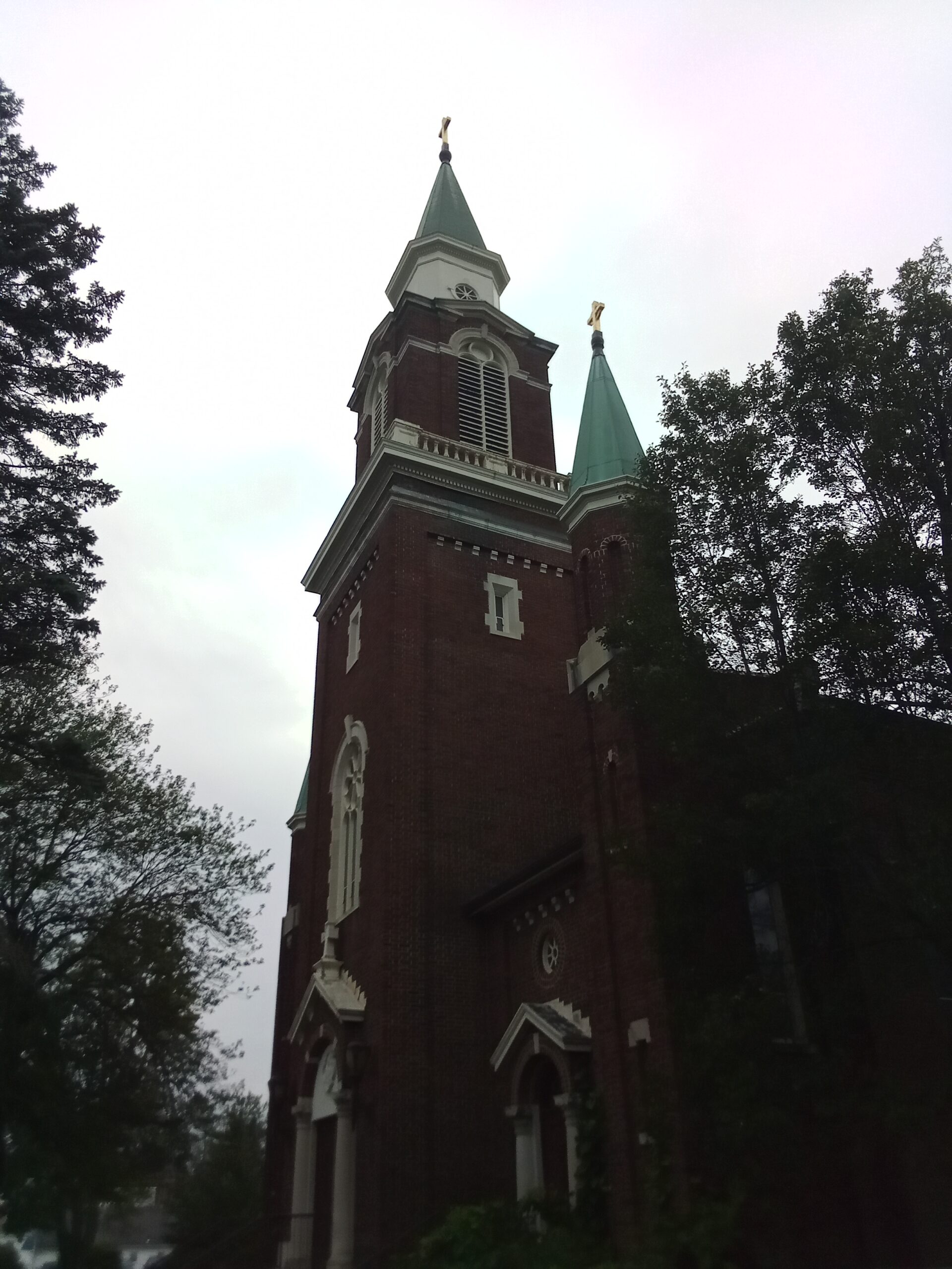
Sacred Heart of Jesus Church

Sacred Heart Church of Easthampton is from 1909. It is at 34 Franklin Street.
stop 1 – Sacred Heart Church

Land was purchased from the Stanislaw Popielarczyk family and then from the Oscar Knipfer. In 1952 side chapels were added to the church. The church was given a new roof in 1974 and that might have been when the dormers were removed. New siding was added in 1984.
stop 2 – Sacred Heart Rectory


| pastor | dates | burial |
| Wladyslaw Kielbasinski | November 10 1907 (mission) | |
| Leon Jandy | January 1908 to April 1908 (mission) | |
| Marcin Piechota | April 1908 to November 18 1909 (mission) | FINDAGRAVE |
| Jan Mard | November 18 1909 to 1911 | FINDAGRAVE |
| Wenceslaus Lenz | April 1911 to December 8 1914 | FINDAGRAVE |
| Bartholomew Slawinski | December 1914 to January 1925 | FINDAGRAVE |
| Andrew A Lekarczyk | January 25 1925 to 1935 | FINDAGRAVE |
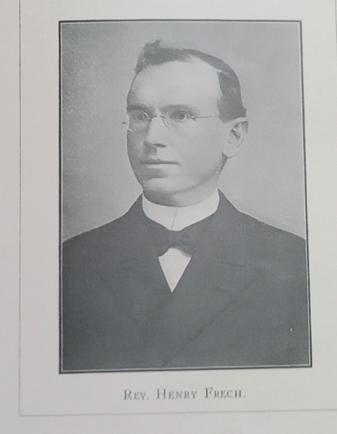
| Stanislawa Zdebla | July 27 1935 to May 21 1965 | FINDAGRAVE |
| John Klekotka | June 1965 to May 19 1974 | FINDAGRAVE |
| Ladislaus J. Szymczyk | June 1974 | FINDAGRAVE |
Jan Mard had to live on the ground floor of the Stanislaw Popielarczyk home for his term.
The rectory is at Clifford Street in 1912. In 1929 it is listed as at 33 Knipfer Street.
stop 3 – Sacred Heart School

“Bogu i Ojczyznie” means “God and Country”

The school was blessed August 31 1919 and opened the next day. At first, the nuns were the Franciscan Sisters of Saint Joseph. In July of 1923 they were replaced by the Felicians (from Lodi New Jersey).
the cornerstone of the school has the double inscription of
“Szkola —– 1918”

“Ostoja Religii i Narodj” means “Refuge of Religion and Nation”

stop 4 – Sacred Heart Convent


The new convent was ready in June of 1922. Before that for three years the upper floors of the school was the convent.
Bethlehem House of Western Massachusetts – LINK – is based here. They help young pregnant women during their term and then for 18 more months after their child is born.


stop 5 – Saint Stanislaus Cemetery
The owners of the cemetery land were Wincenty and Waleria Tomaszewski – FINDAGRAVE
Sanborn maps

German Reformed Church

German Reformed Church is at the corner of Elm and Sargeant Streets in Holyoke. It is also called the Saint Andrew’s Reformed Church. The front of the church faces onto Elm. In 1961 this church united with the First Congregational Church of Holyoke to become the First United Congregational.
Inside they have a Streere Organ.


POSTCARD view and another POSTCARD
Sanborn 1895 map and not on the 1885 and 1889 maps
German Evangelical Lutheran Church
The German Evangelical Lutheran Church was located across Jackson Street from the triangle formed by Jackson, South Bridge, and Park (now Clemente) Streets. The wooden church was one floor and had the same location as the later church. This wooden church was built in 1867. It burned in 1899. Exterior VIEW.

The masonry church was built in 1899 and had August Brunn for a pastor. The German Evangelical Lutheran School was at Jackson and Bridge and had classes in the German language plus in religion.
LINK to a story about this church
INTERIOR photo of the church
park and church PHOTO
POSTCARD view
not on the 1885 nor 1946 and 1959 maps
First Lutheran Church


Saint Peter’s Lutheran Church


Beulah Baptist Church

The Beulah Baptist Church was in the Willimansett neighborhood of Chicopee. PICTURE
An image and their story can be found HERE. Beulah Church is an offshoot of the Second Baptist Church of Holyoke.
It is still a functional church and it has WEB page. It is now located on Prospect Street.
One of its most famous ministers is Edward Ufford. FINDAGRAVE


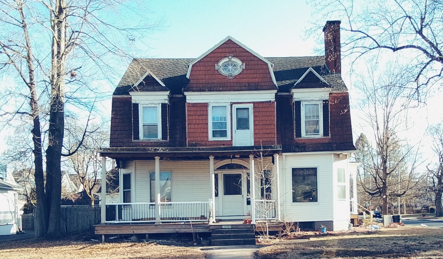
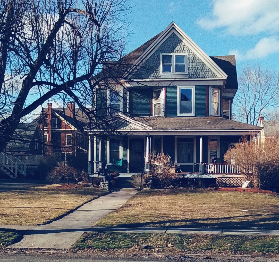
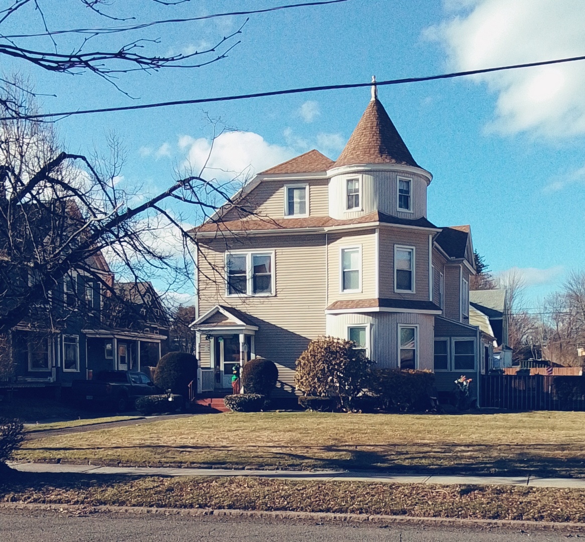
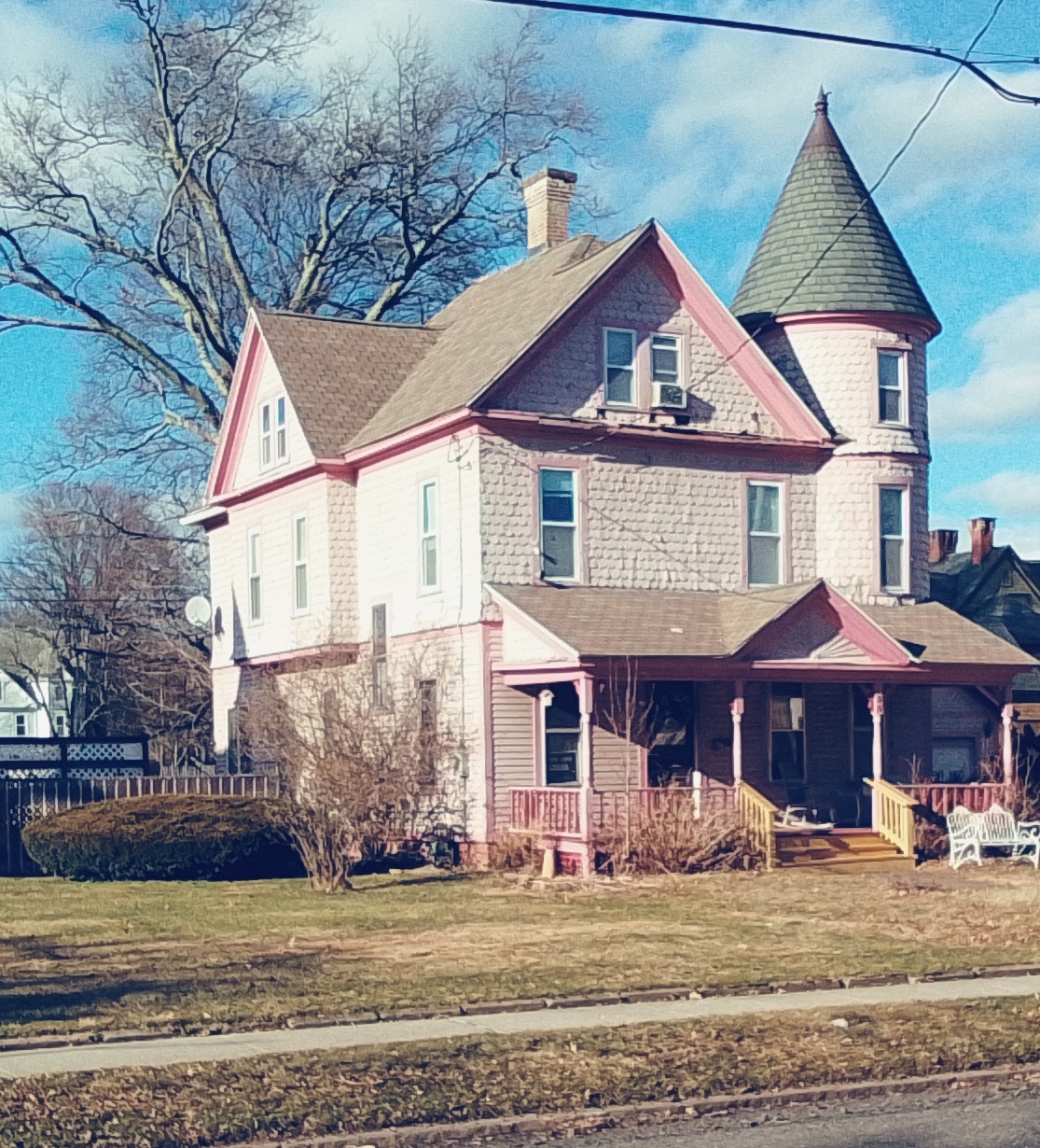
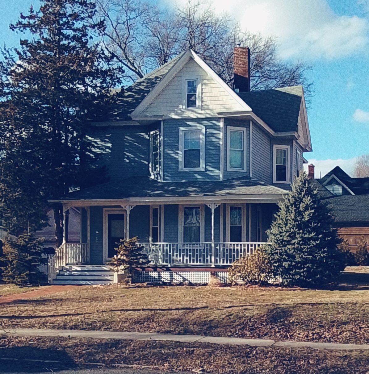
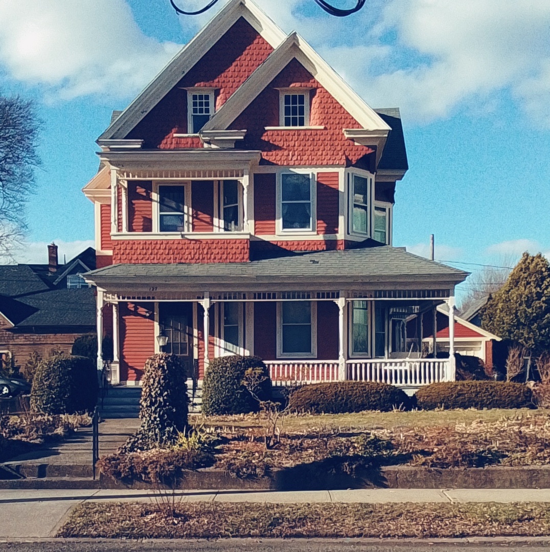
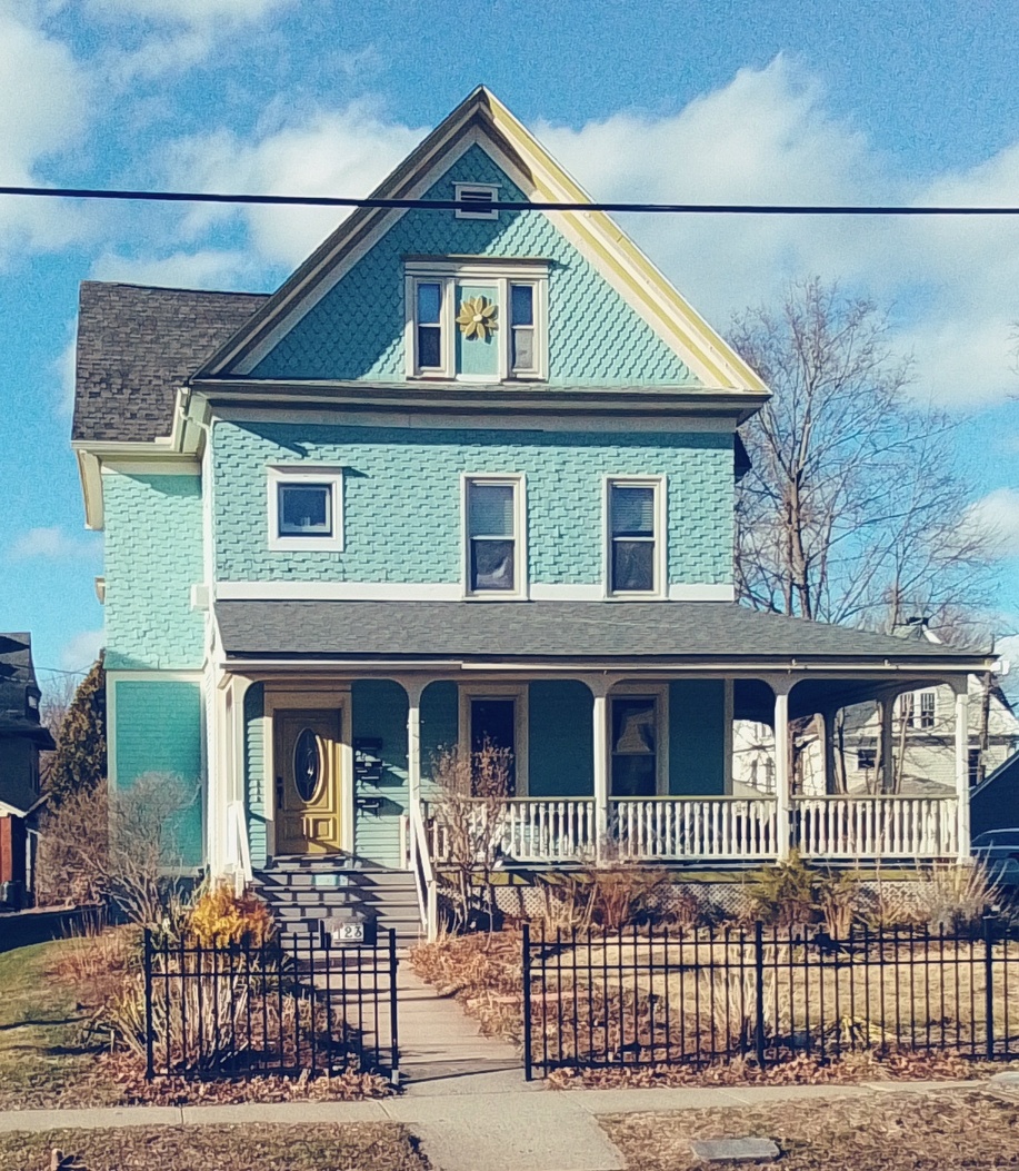
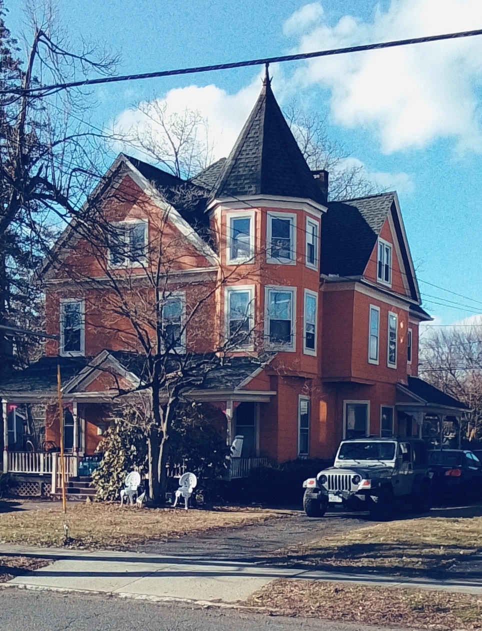
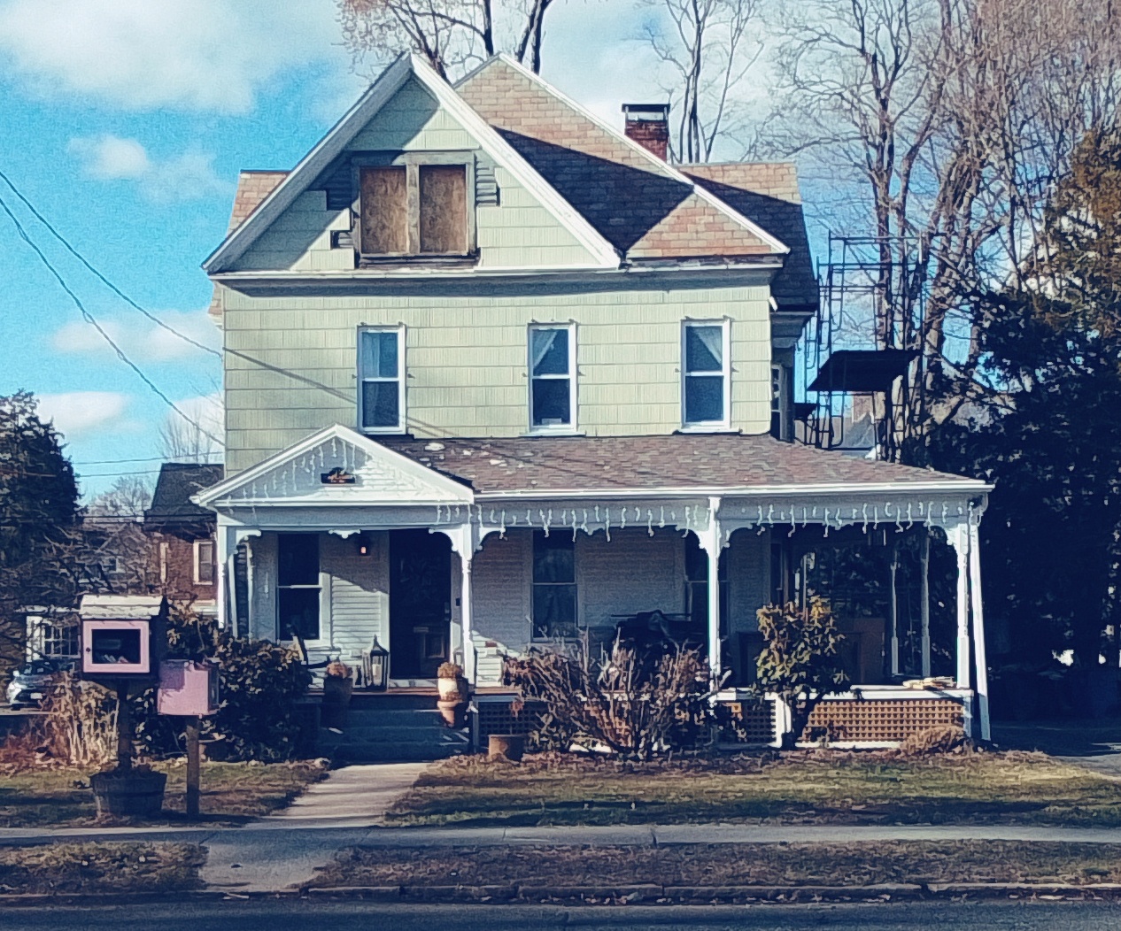
Lincoln Street
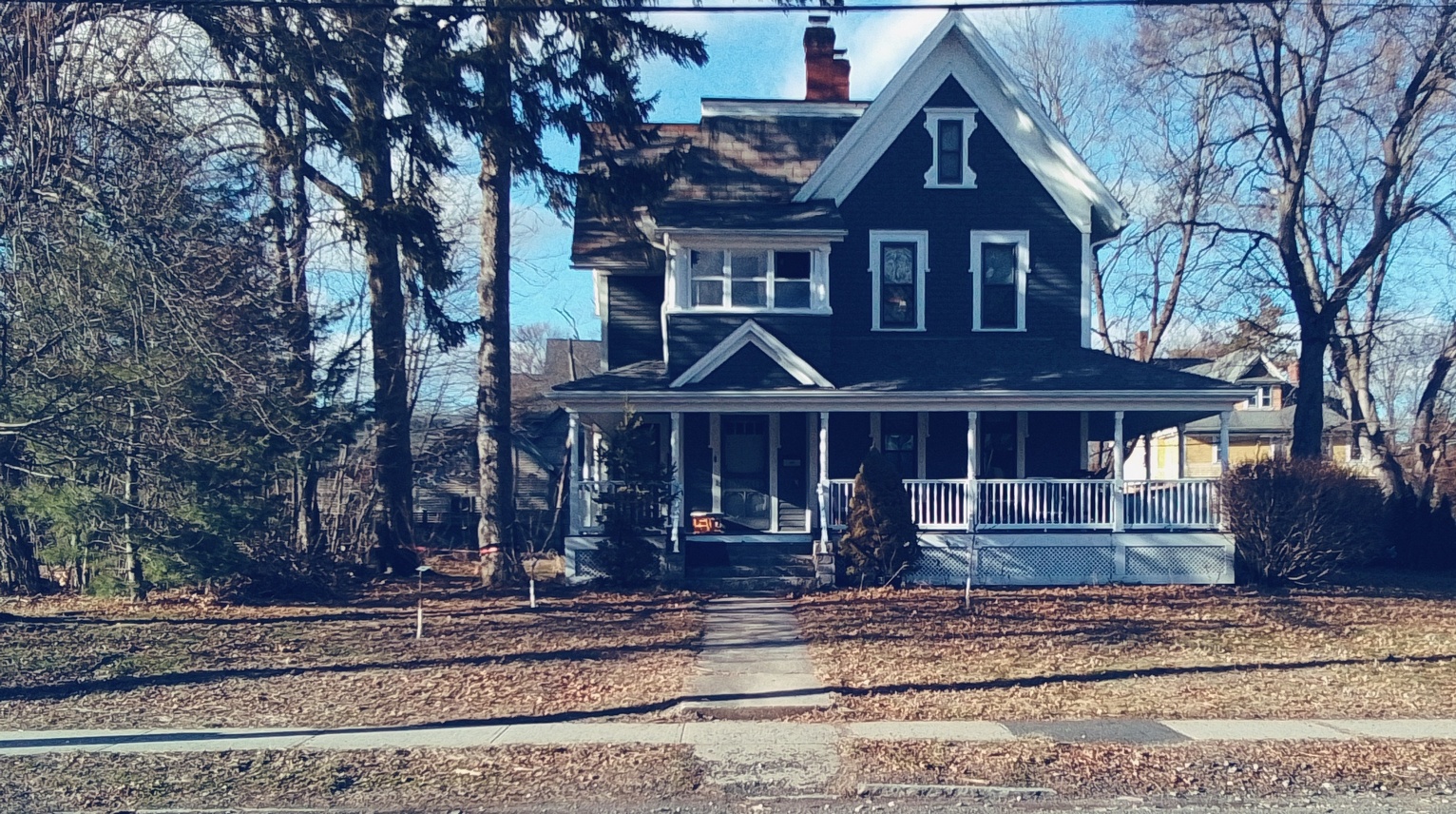
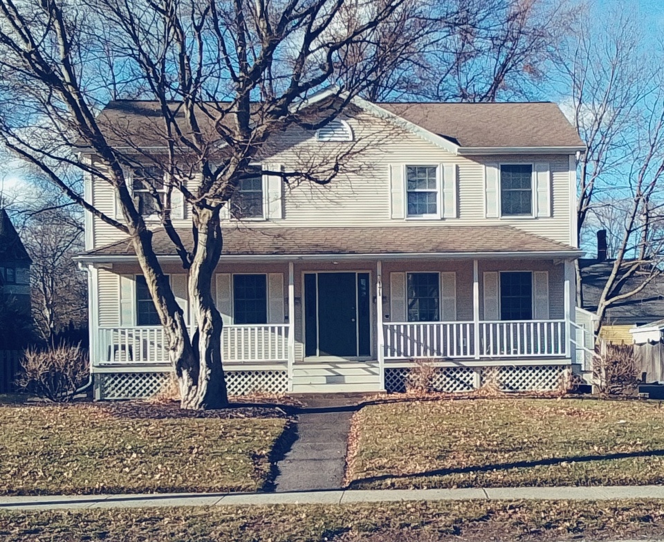
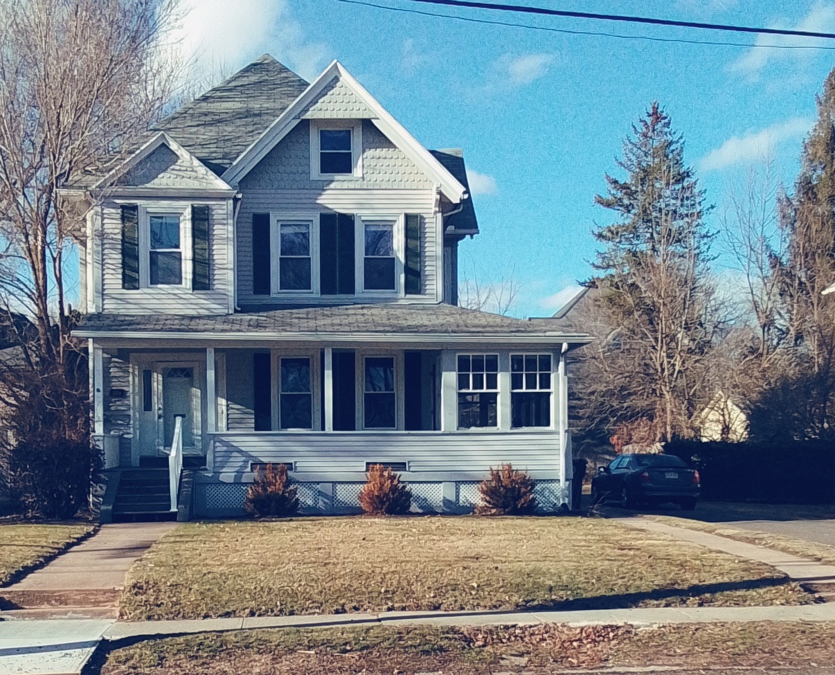
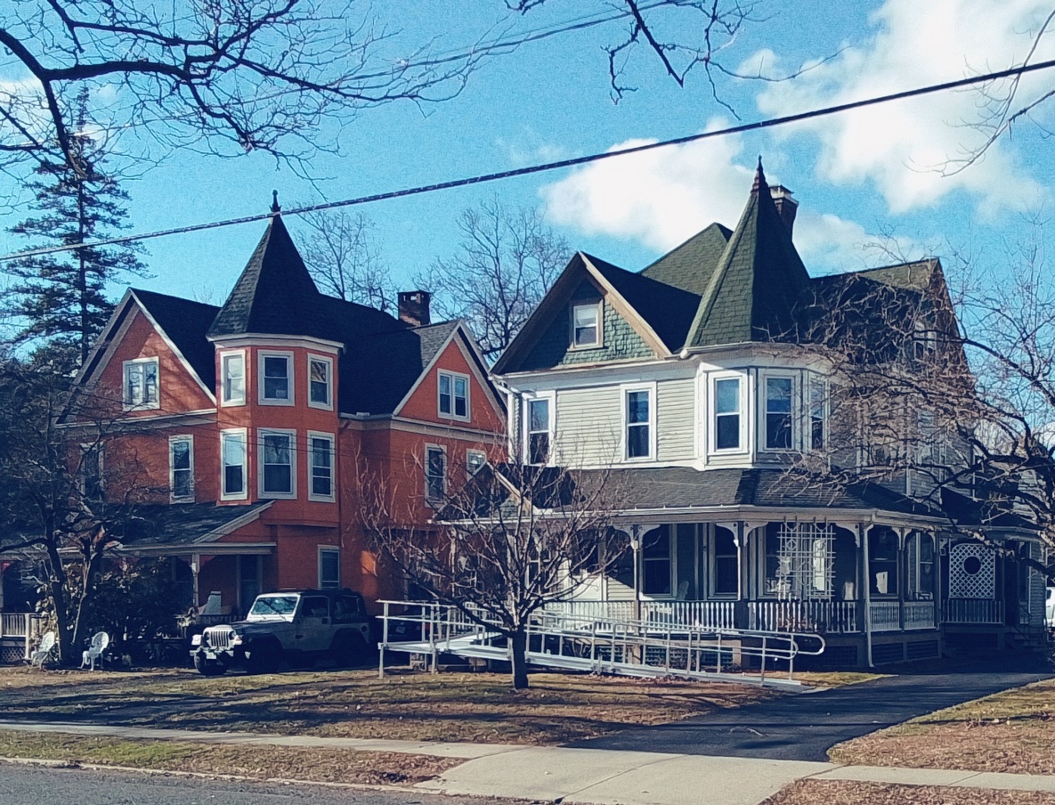
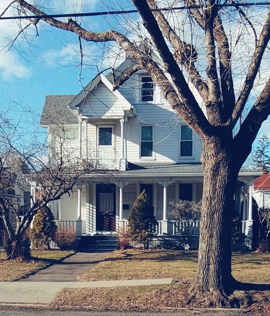
Lincoln Street of Holyoke has many pretty houses.
The best manner to tour this street is to start at Kennedy Park. At the southeast corner of the park is the former Highlands Methodist Episcopal Church.
stop 1 – Highlands Methodist Episcopal Church
read stop 9 at this LINK
stop 2 – Kennedy Park
stop 3 – Azro Coburn house

A one block walk up Lincoln Street from the park in a westerly direction is a fine way to view some nice homes. At 98 Lincoln Street is the Azro Coburn house from 1908. He owned the Coburn Trolley Company in Chicopee that made many of the tracks in this city.
stop 4 – James Ramage

At 104 Lincoln Street is the James Ramage house from 1895. He would own the Franklin Mill.
stop 5 –

At 110 Lincoln Street is an 1880 home.
[Williams Street crosses here.]
stop 6 – John Williams

At 118 Lincoln Street is the John Williams house from 1893. This is a Queen Ann Victorian home. John was a carpenter and painter with Doane in a Holyoke store. They started the Doane and Williams paint store.
stop 7 – William Wilson
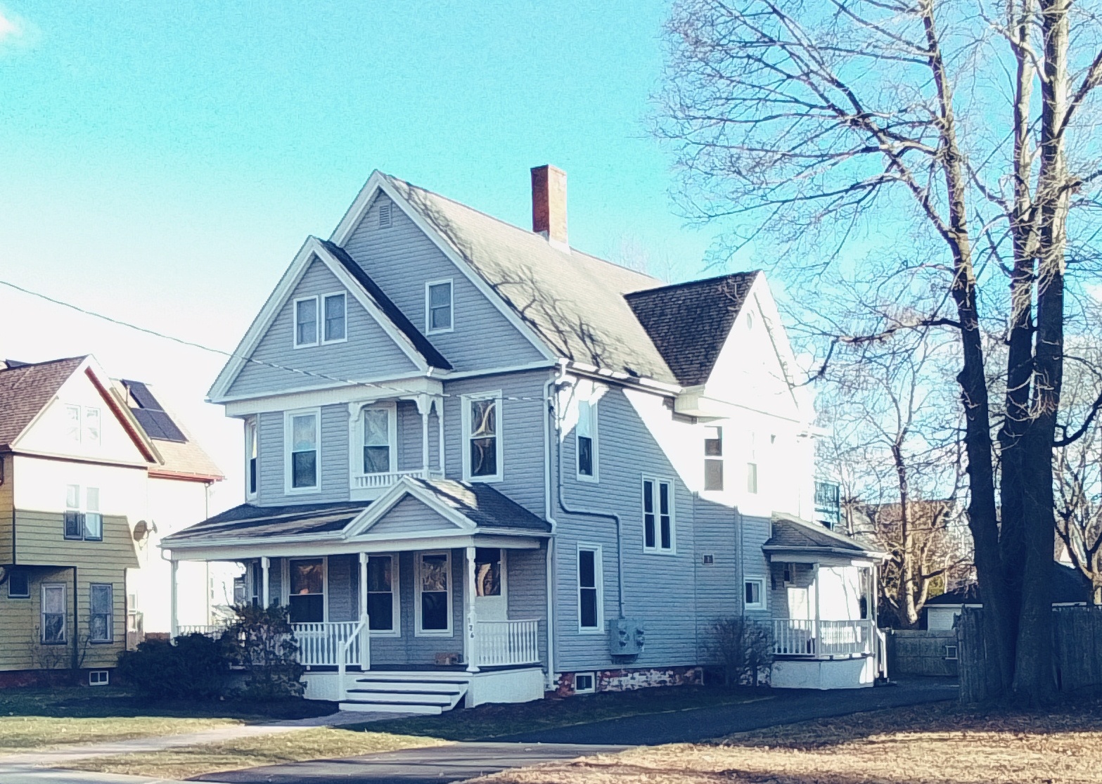
At 126 Lincoln Street we find the William Wilson house from 1894. He was a papermaker at the Wilson and Smith Paper Mill.
stop 8 – Duncan McCorkindale
At 132 Lincoln Street is the Duncan McCorkindale house from 1894. He was a worker at the Parsons Paper Mill and from 1902 until in the 1930s his family lived here. FINDAGRAVE
[Howard Street crosses here.]
stop 9 – Robert Sanderson
At 136 Lincoln Street in 1895 the Robert Sanderson house was built. This is a shingle style Victorian house.
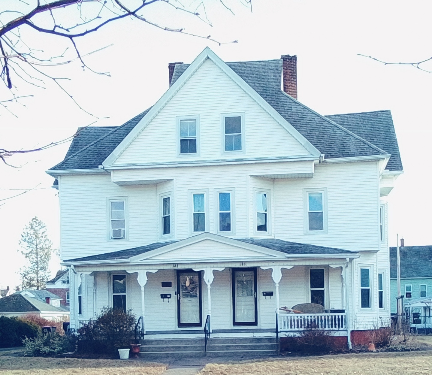
At 140 / 142 Lincoln Street about 1910:
and at At 144 / 146 Lincoln Street about 1910:
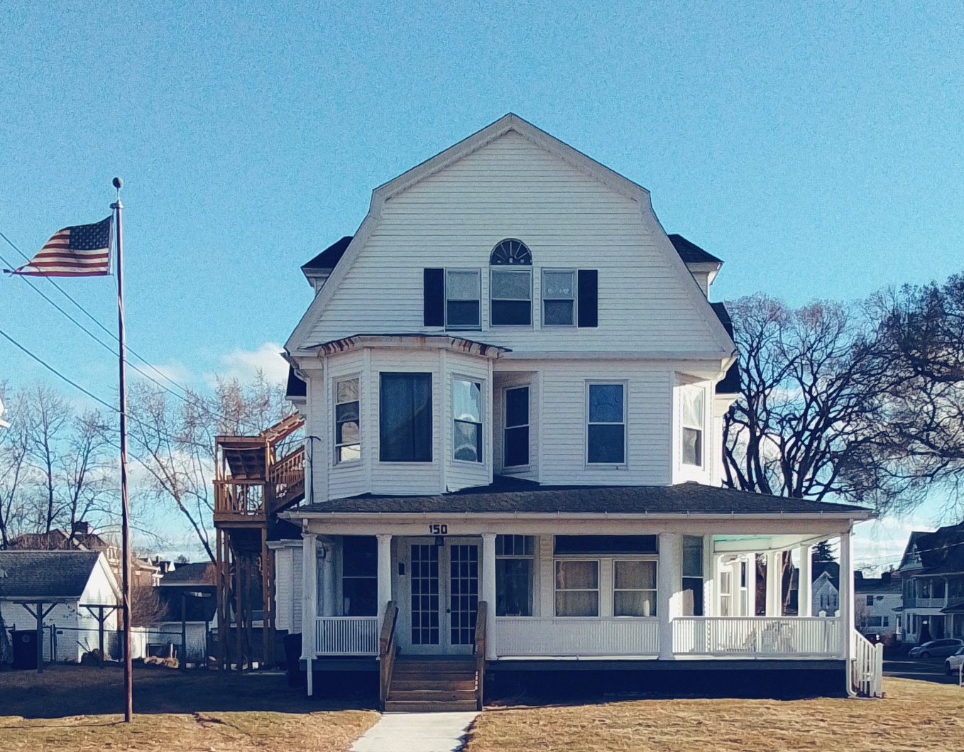
and at 150 Lincoln Street:
[Arlington Street crosses here.]
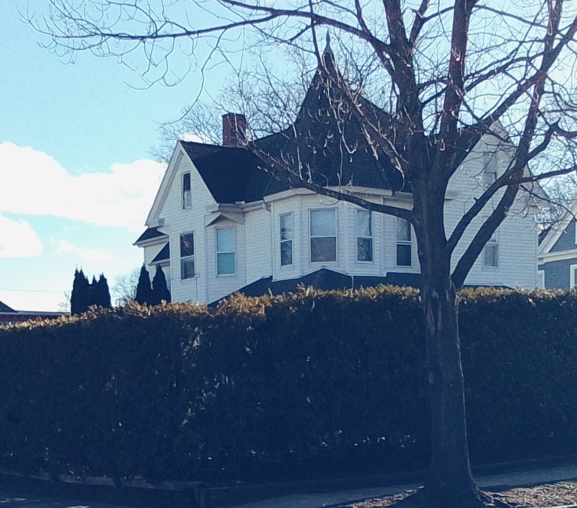
and at 156 Lincoln Street is a Queen Anne home
stop 10 – Jens Madsen
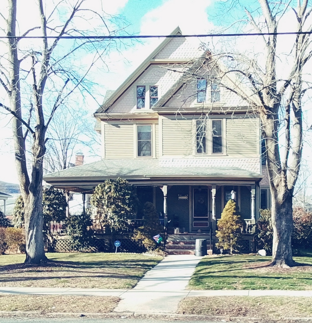
At 162 Lincoln Street from 1892 is the Jens Madsen house. He lived here from 1903 to well into the 1940s. For a very long time Madsen had a company called the Anker Printing. Madsen at first lived on Canal Street in South Hadley and was the town’s clerk. This is a shingle style Victorian house.
at 166 Lincoln Street is from 1900:
stop 11 – James Morrill
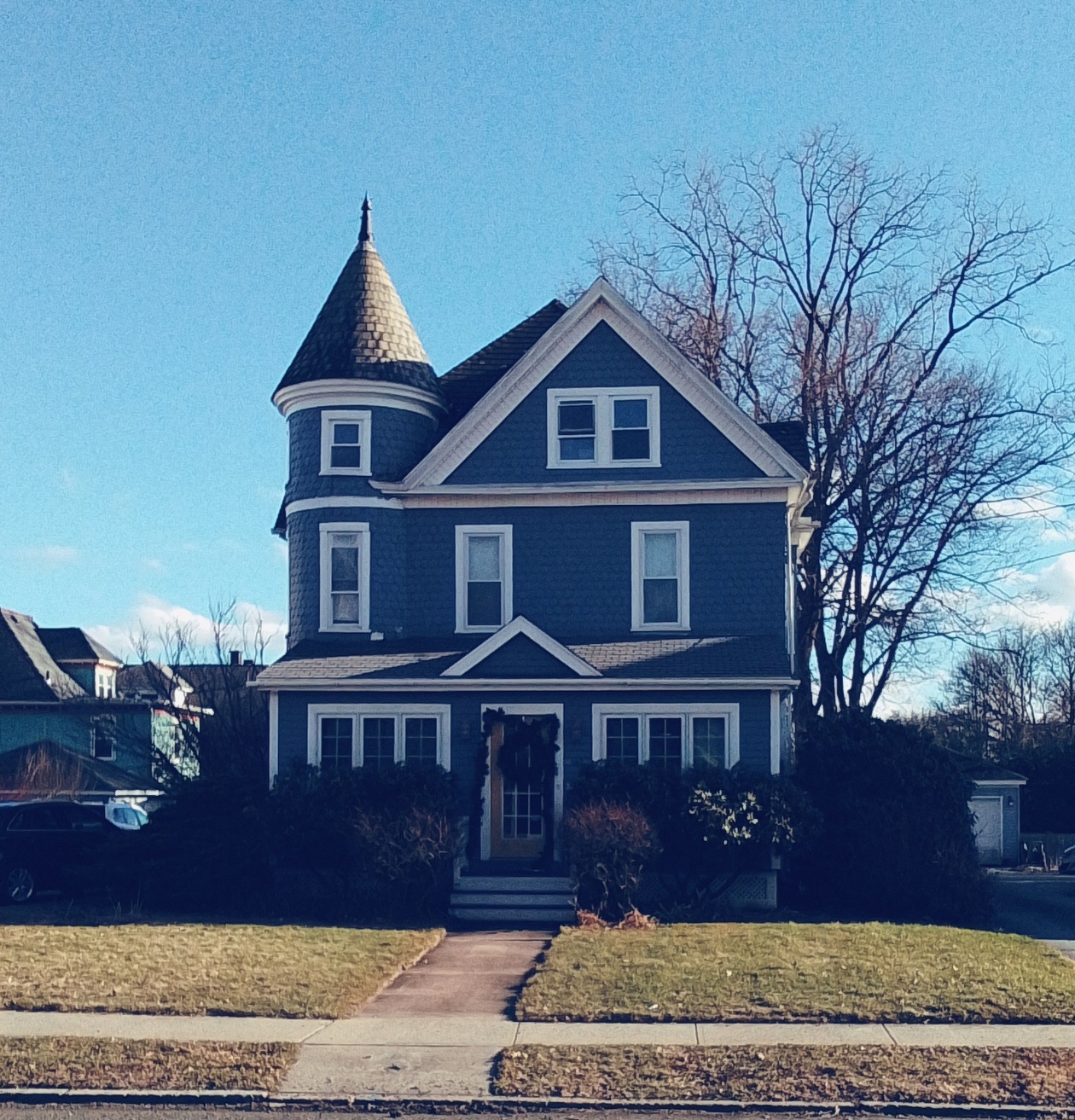
In 1892 at 170 Lincoln Street a nice Queen Anne house was built. James Morrill owned it. He owned a pharmacy on High Street. FINDAGRAVE
at 176 Lincoln Street is a 1910 house:
stop 12 – Trolley
Notice the wide curved corner which is quite atypical of Holyoke’s streetscape. This is since the Highlands Trolley Line run along Lincoln Street. And now let’s head back eastward on the outside of Lincoln Street.
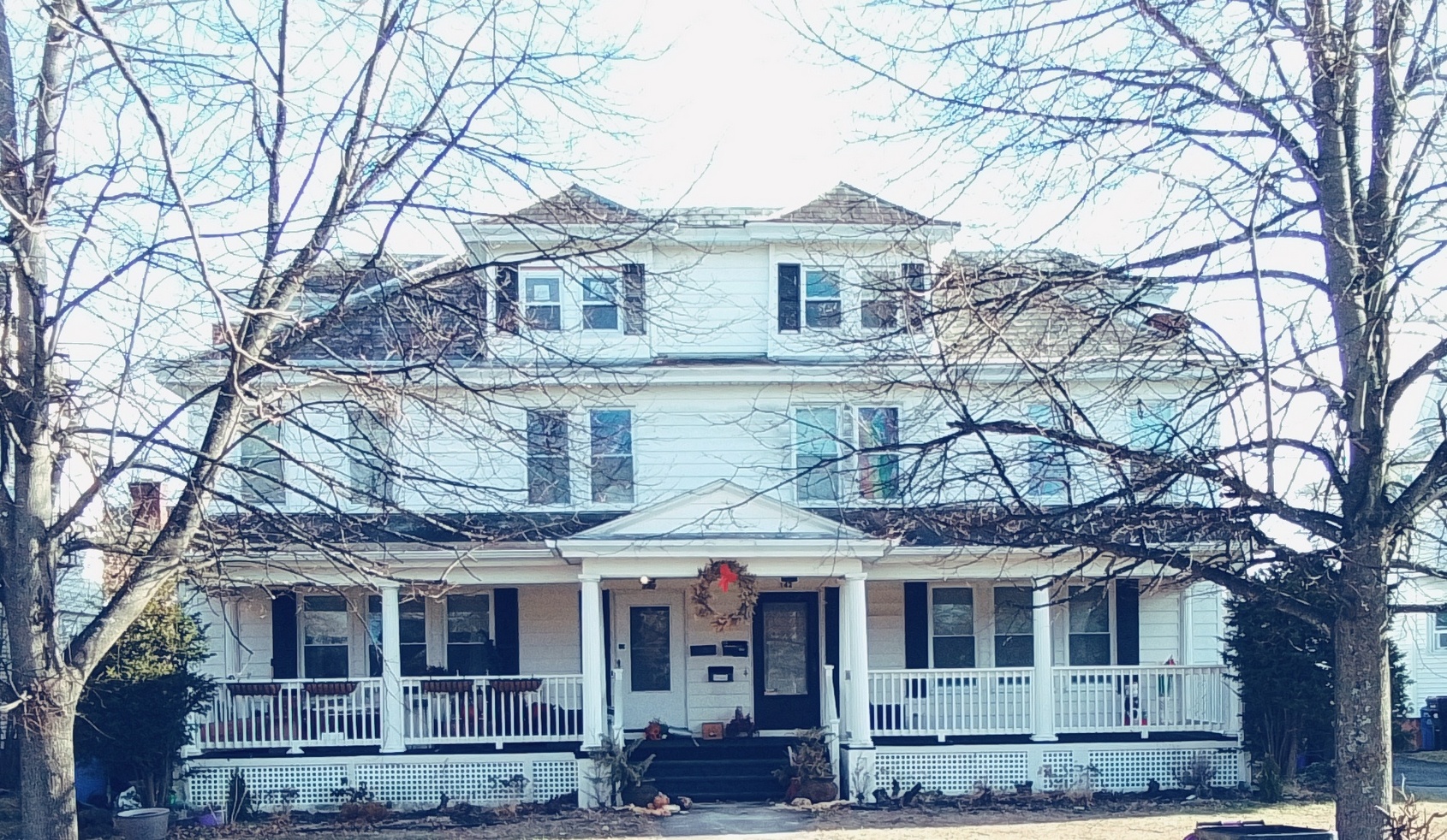
stop 13 – Robert Johnson
At the top of the street, the Johnson houses are side by side. Robert’s house is to the right and his son’s Charles’ house is to the left. They owned an insurance company on High Street. His house is my 5th installation of my series called A House in Holyoke through Time. HOUSE
At 171 Lincoln Street:
At 165 Lincoln Street:
At x Lincoln Street:
At x Lincoln Street:
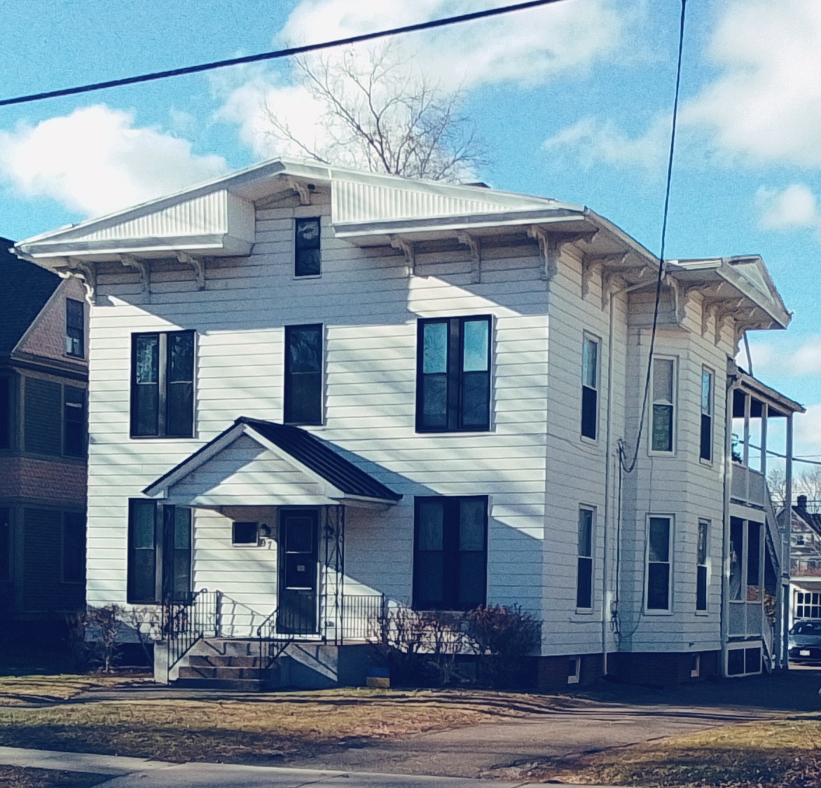
stop 14 – 151 Lincoln Street is from 1880
stop 15 – Charles Alderman
At 147 Lincoln Street is the Alderman house from 1895. Charles worked as a superintendent of the Hampden Glaze Paper Company. This is in the shingle style.
At x Lincoln Street in the Queen Anne style:
At 135 Lincoln Street:
At 131 Lincoln Street:
stop 16 – William B Whiting
William B Whiting was at 127 Lincoln Street and is from 1894 – The Whiting family owned many enterprises in Holyoke and served the city in many ways. William B Whiting owned a coal business in the city and his son owned a large paper mill. The house is in a shingle style.
at 123 Lincoln Street is a shingle style:
at x Lincoln Street
at 115 Lincoln Street is a Queen Anne:
stop 17 – John Bishop
111 Lincoln Street is from 1896. John Bishop was a goods dealer on High Street. Find the Bishop Block here – LINK – The house is a Queen Anne with a wrap around porch.
stop 18 – Hoit Farr
Hoit Farr was at 107 Lincoln Street is from 1896 was a member of the Farr Alpaca Mill ownership. FINDAGRAVE
at 103 Lincoln Street is a shingle Victorian:
at 97 Lincoln Street:
at 95 Lincoln Street:
at 91 Lincoln Street is a Queen Anne:
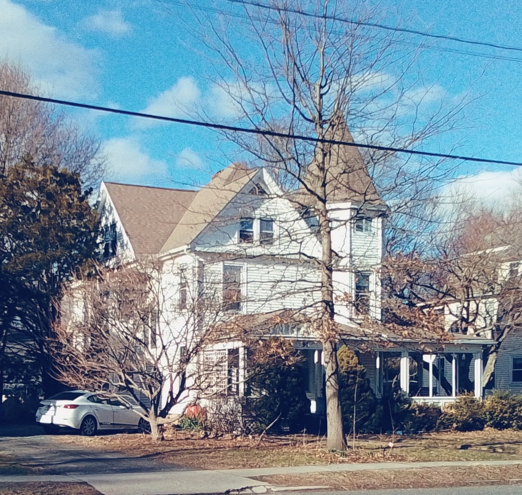
And now we are back to the park.
Sanborn map analysis:
Sanborn 1884 and 1889 map – not covered
Sanborn 1915 map and map B and map C
Sanborn 1949 map and map B and map C
Sanborn 1956 map and map B and map C
Saint Brigid’s Cemetery


Saint Brigid’s Cemetery of Easthampton is also called the Immaculate Conception Cemetery and the Everett Street Cemetery.
Read about the history of the Immaculate Conception Church.
The Sacred Heart of Jesus Church used this cemetery from 1909 to 1924 at which time it made its own cemetery. Read about that CHURCH and its CEMETERY.
The Notre Dame du Bon Conseil Church used this cemetery during all of its history. Read about that CHURCH. The church was formed in 1906.

MAP of the cemetery.
stop 1 – Gates, Signs, and Layout of the Cemetery

stop 2 – Priests Circle number 1
Jeremiah Twomey – his burial was at first at the Immaculate Conception Churchyard and then he was moved here.


Father Lenz is here and can be found at FINDAGRAVE.

stop 3 – Babies


stop 4 – Paupers

M J D born 1862 and died 1921. This could be a Martin Dalton or a Mary Dept both of whom died in 1921 in Easthampton. Both buried in this cemetery and both about this age. Neither has a gravestone in the cemetery.


Joseph Routhier – LINK

stop 5 – Ethnic Groups


Joseph Philbert Auger – FINDAGRAVE – veteran of the American Civil War
stop 6 – Priests Circle number 2

This pastor area is for P F Doyle. FINDAGRAVE
stop 7 – Interesting Monuments


Once the cemetery had elevated plots. These have all been removed and good that they did since they would have had enough water erosion to knock the gravestones over.


stop 8 – Neighborhood

Across the street is the Everett Street Village. These homes were workers’ homes for the mill workers.

Rose Gagnon – LINK

Mikolaj Prondecki 1918

