
[Use the Appleton Street parking entrance or park on Dwight Street.]

This park has a Visitor’s Center open to the public. There are pictures of workers in mills and also some displays. The major displays that are important are the paper-making display and the fiber making display. The paper display has 12 steps that show the paper pulping process from start to finish. Holyoke made paper of many widths and to do this a calendar machine was used. If you have any questions about the process, the director of the visitor’s center is a great help.
The visitors’ center has a wonderful old mill power calculator.

The park also has the Volleyball Hall of Fame, the Mt Park Merry-go-Round,

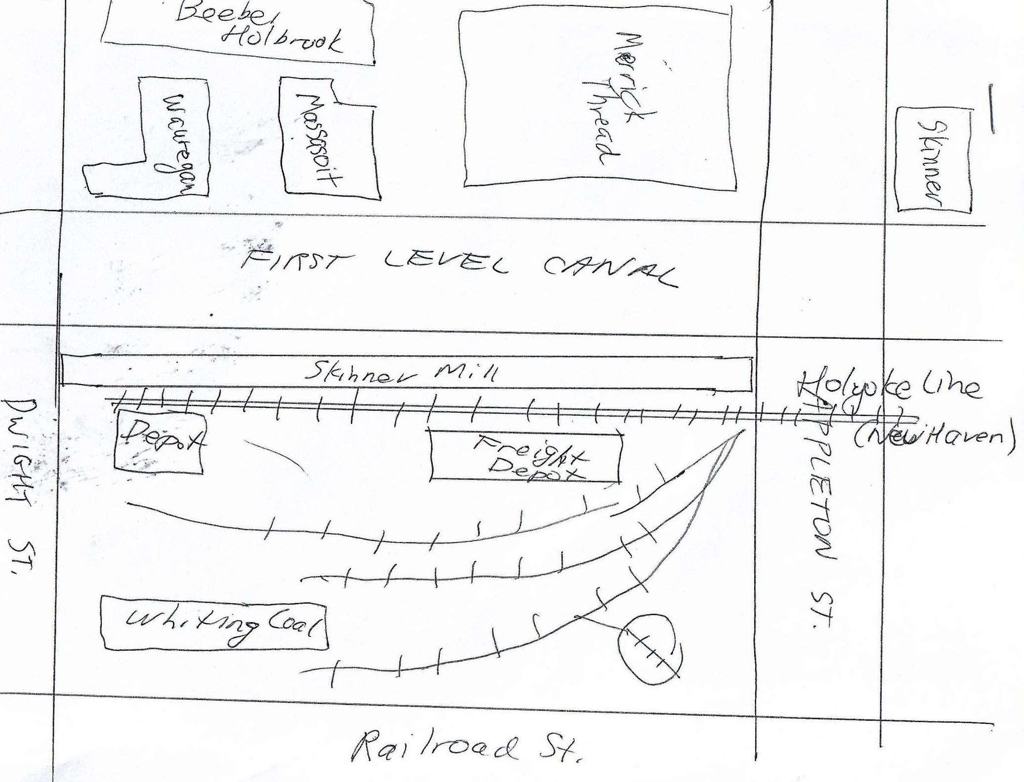
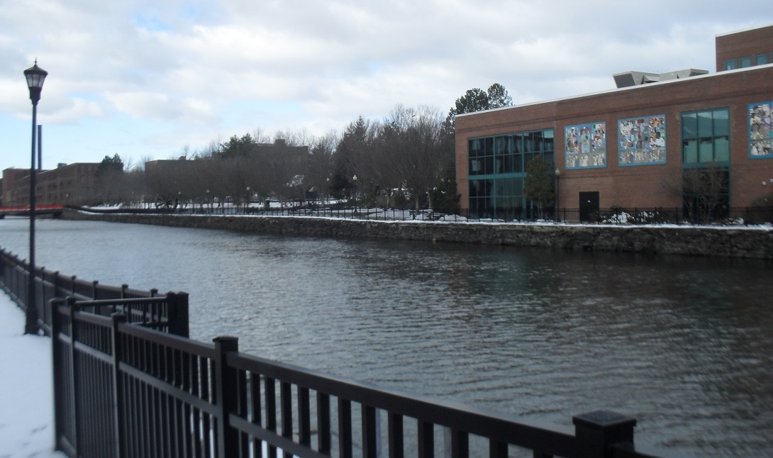
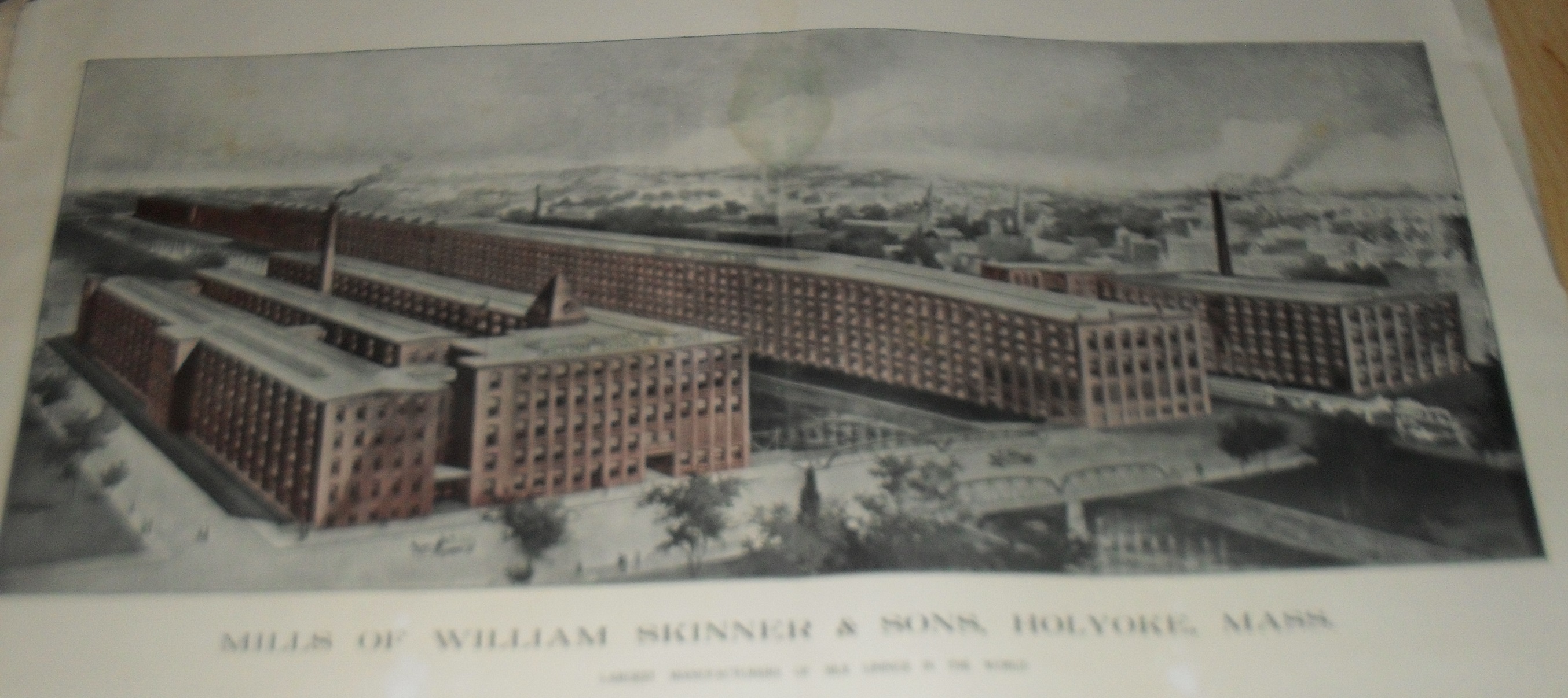
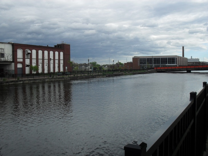
and the Children’s Museum. The William Skinner Silk Mill was located on the western edge of the First Level Canal. Its original location within Holyoke was where the front lawn of the Computer Center is now. It was called back then the Unquomonk Silk Mill. It started in Skinnerville of Williamsburg but on May 16, 1874, the Mill River Dam gave way. The Skinner family lived at the Wistariahurst house. They were into charity. For example, they ran the Skinner Coffee House, they built the Skinner Chapel, and helped build the Holyoke Library. Joseph Skinner was a benefactor of Mount Holyoke College in South Hadley and also donated the top of Mt Holyoke the mountain to the state.
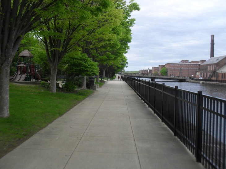
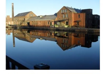
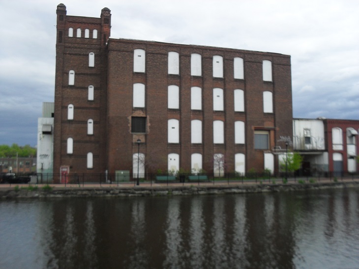
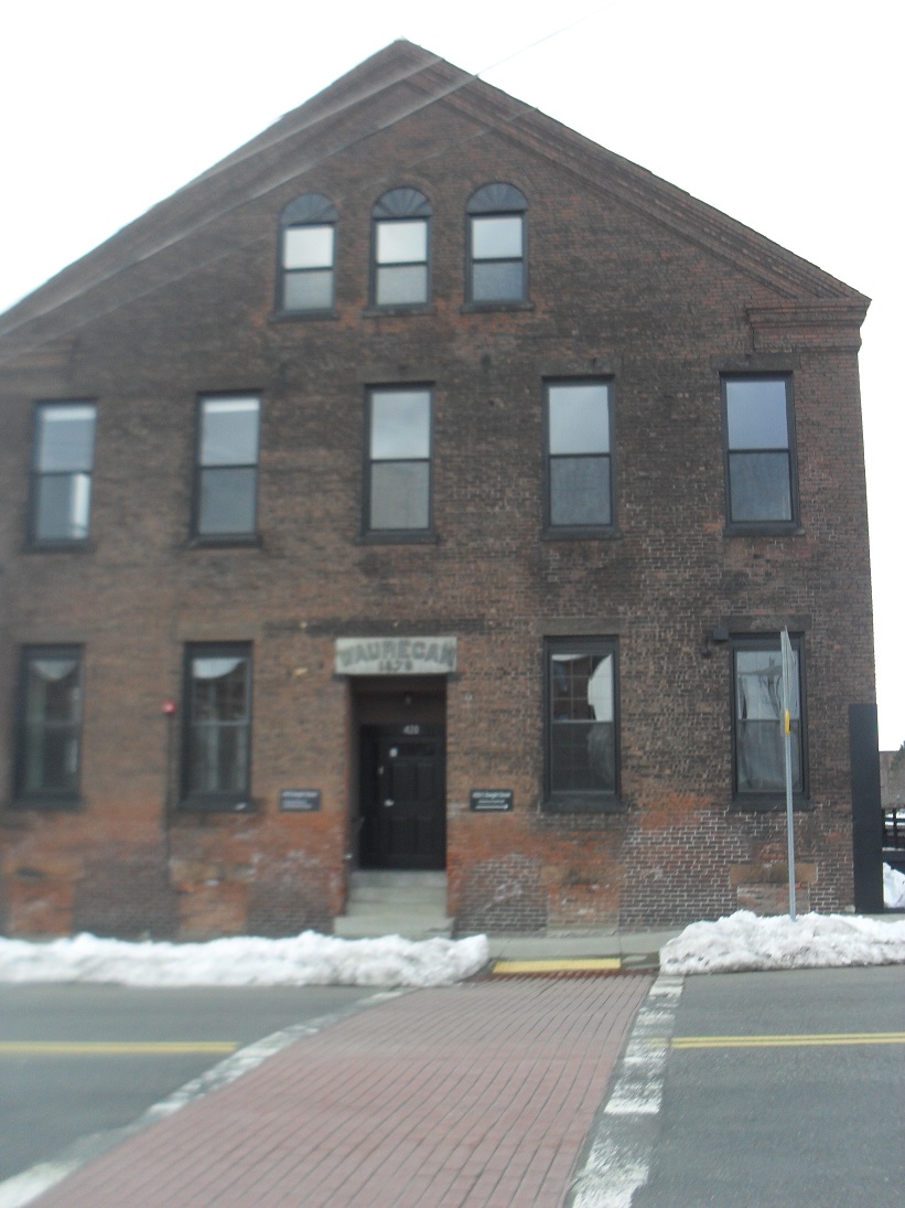
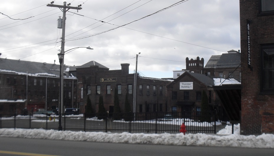
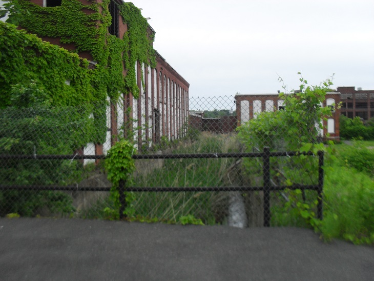
Across the First Level Canal from the lowest sidewalk of the canal you can see the Massasoit Fine Paper Mill, the Wauregan Paper Mill, and the Merrick Thread Mill. James Newton built the Massasoit to produce fine paper and extra fine paper. The Wauregan was also erected and managed by the Newton family. It produced superfine paper. Nowadays the Wauregan Mill 1 has many businesses in it but most importantly is the Holyoke Creative Arts Center. Along the southern edge of the remaining Merrick Mill is an exposed race.
The park is surrounded by some of the nicest buildings in Holyoke with Holyoke City Hall and High Street to its immediate west. Also Hampden Park Historic District is two streets beyond City Hall.
Sanborn map analysis: