


- Private GROUP TOUR (COSTS) is two hours long for this Maple Street and Neighborhood walking tour. Also a one hour indoor presentation can be given.
- A free public tour comes up every five years.
- A self-tour is available for anyone using the maps and text seen below. – LOCATION
- Streets of Holyoke
Maple Street is a very interesting street in Holyoke. It has Veteran Park and the Central Fire Station and more. Park at Pulaski Park at the northernmost end of Maple Street.
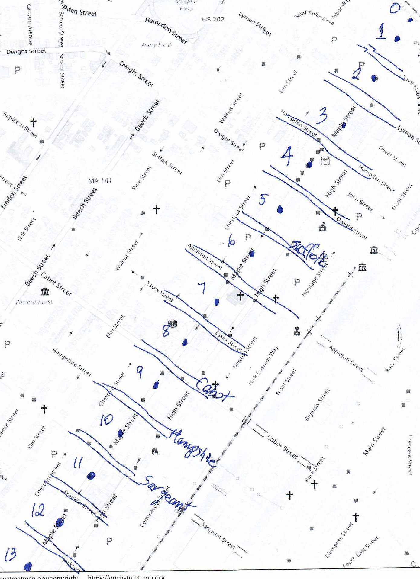
block 0 – Connecticut River to Pulaski Park
Read about Pulaski Park HERE
Read about the Holyoke Canal gatehouse HERE
block 1 – Pulaski Park to Saint Kolbe Drive

Read about the Our Lady of Perpetual Help Church campus HERE
Read about the Mater Dolorosa campus HERE
block 2 – Fr Kolbe to Lyman

The church was on this city block. Read about the Mater Dolorosa campus HERE
block 3 – Lyman to Hampden
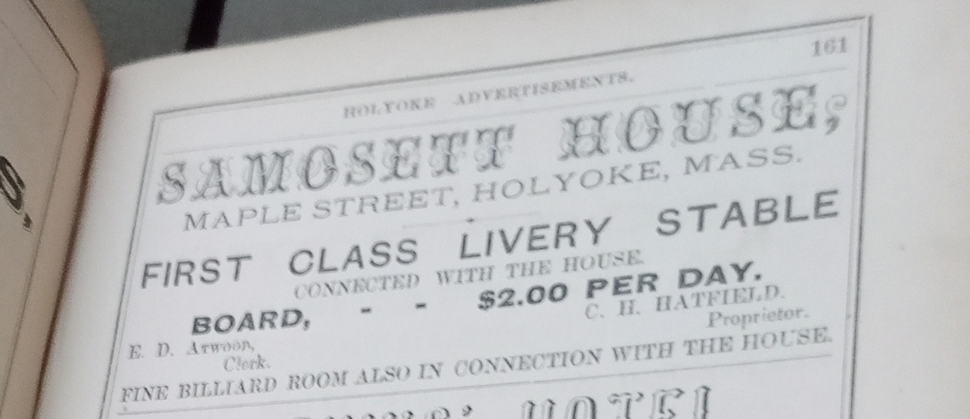
Samosett House – The Samosett was opened on April 8 1850 or so. It was a hotel in the beginning and had 50 rooms. The parapeted cornice is quite unique.
28 Aug 1888
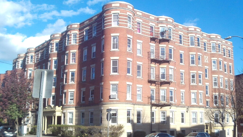
block 4 – Hampden to Dwight
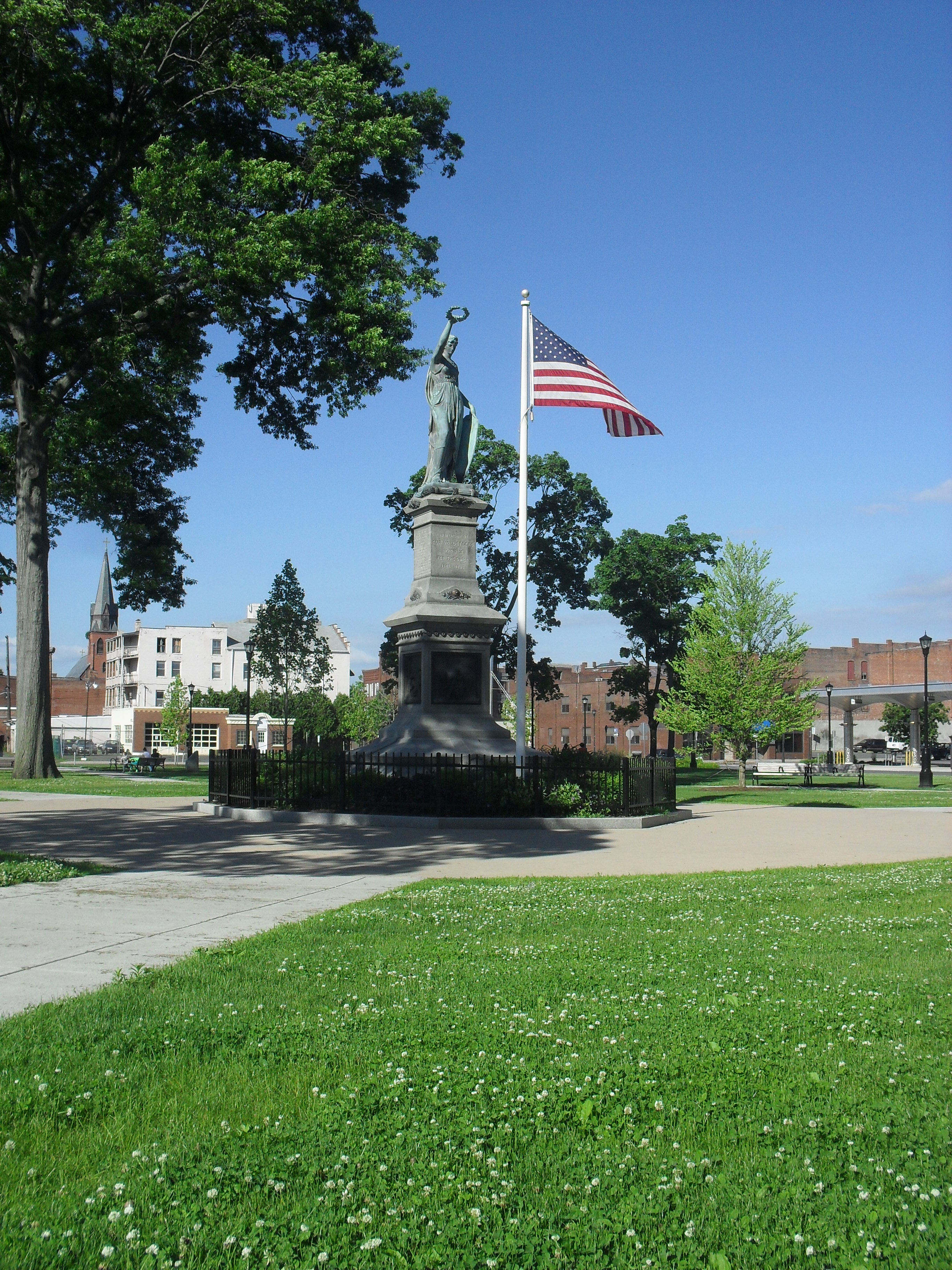
Read about the Veterans’ Park area HERE
Read about the St Jerome’s Church and campus HERE
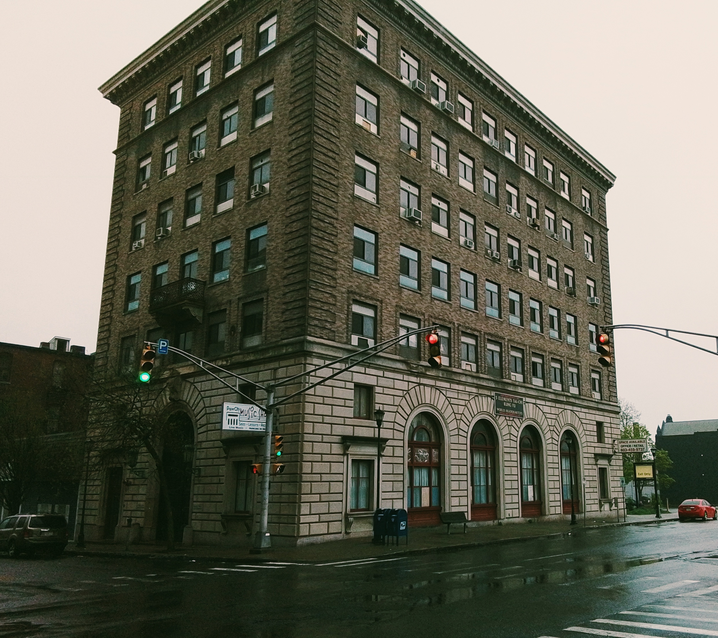
block 5 – Dwight to Suffolk
This city block has the McAuslan Wakelin Building. Read about it HERE
At the Phoenix there was in 1915 Clark Florist. The Phoenix is on Dwight but also on Maple Street.
Also the St Jerome Temperance Hall. Read HERE
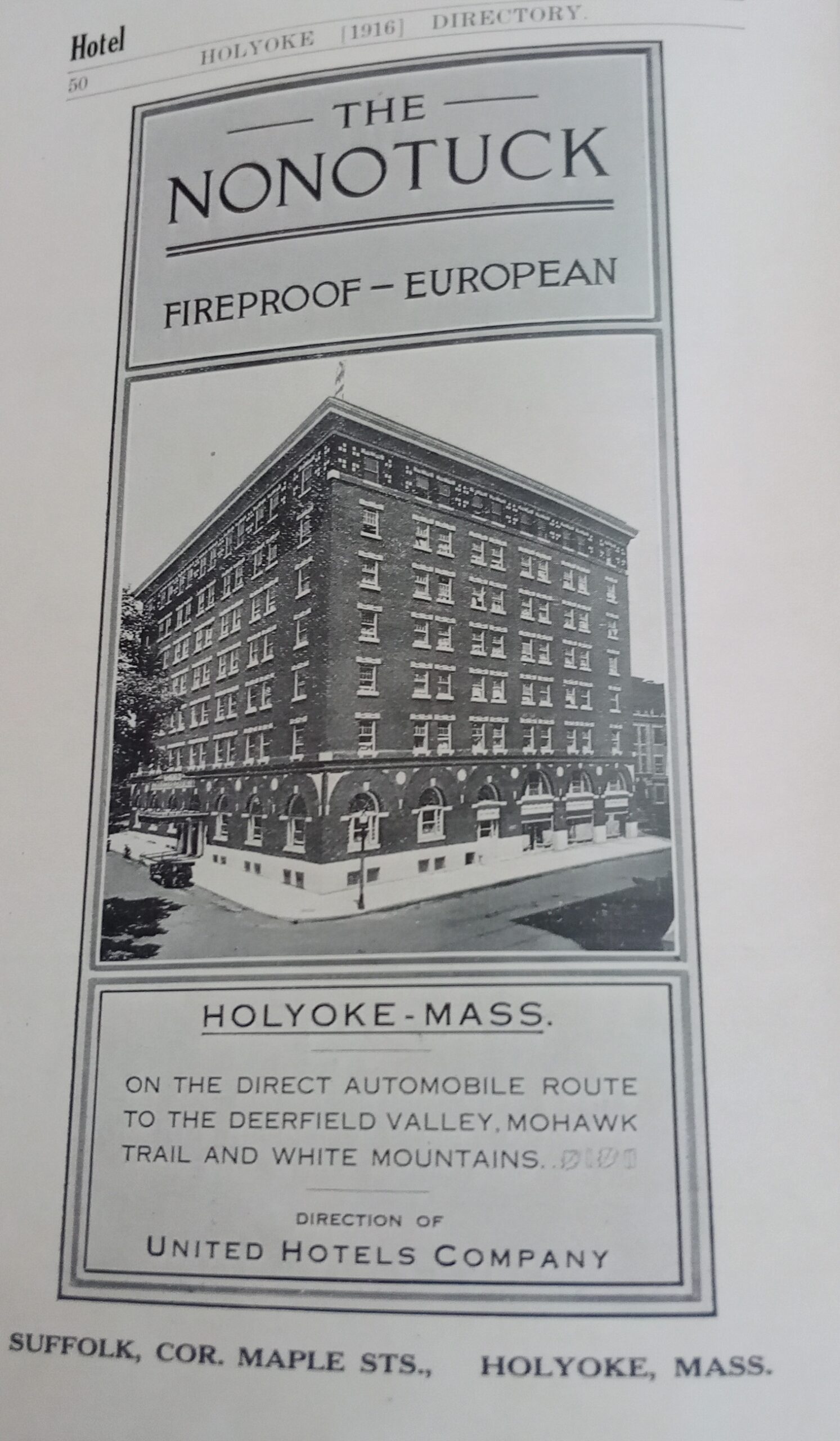
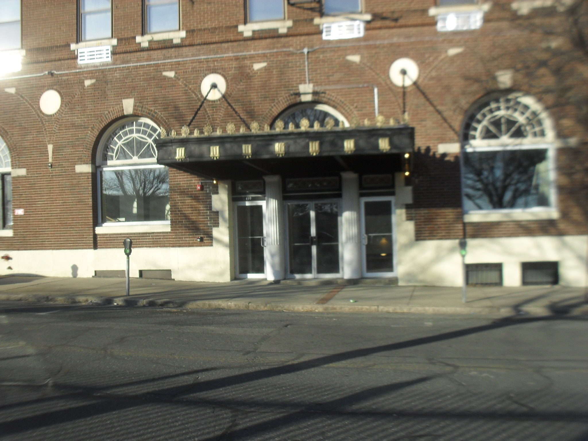
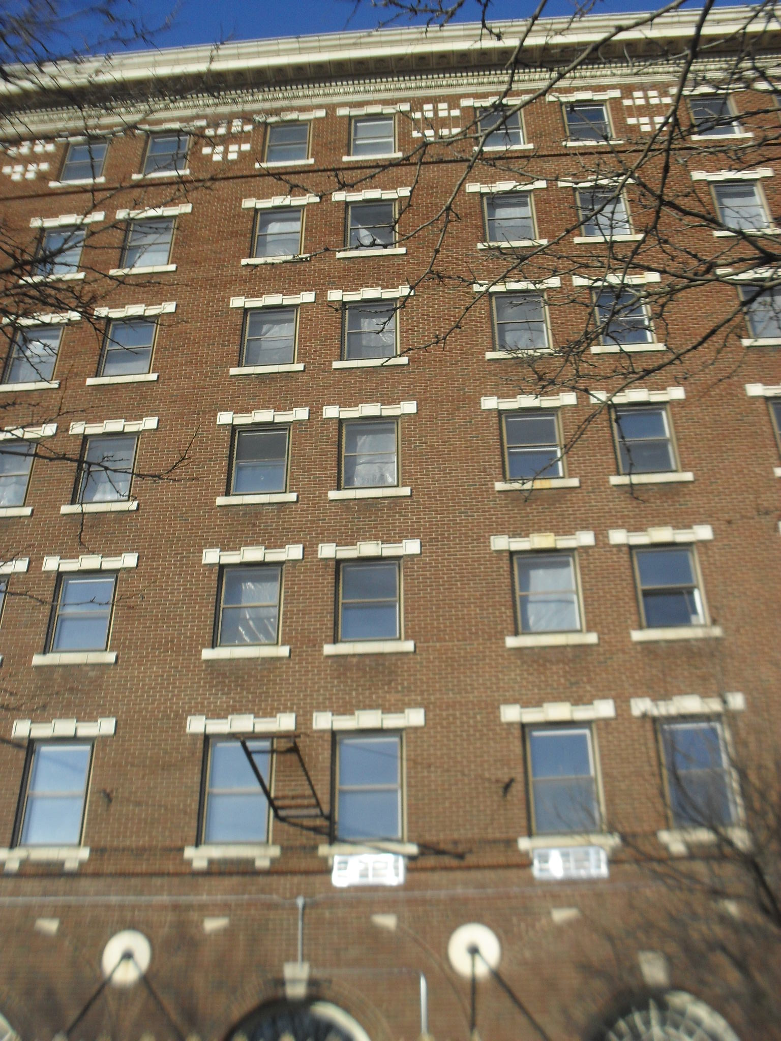
The side of the Holyoke House later called the Roger Smith Hotel is here. It was also called the Nonotuck.
The John Tilley block is at the NE corner of Maple and Suffolk.

block 6 – Suffolk to Appleton
Read about the Strand Theater HERE
block 7 – Appleton to Essex
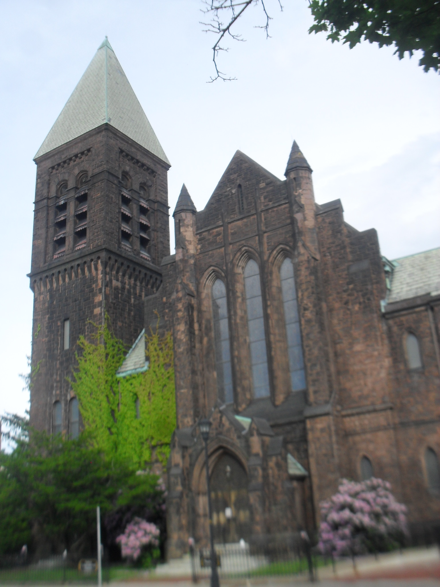
Read about the Congregational Church HERE
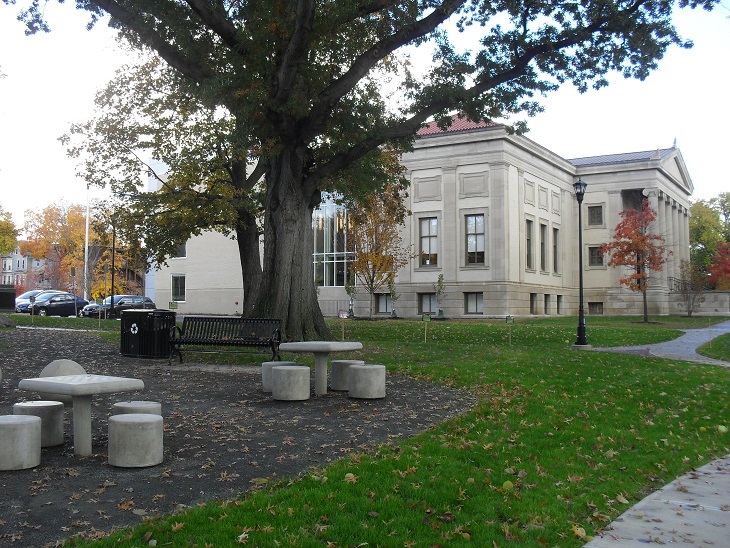
block 8 – Essex to Cabot
Read about the Maplewood Hotel HERE at stop 5
Read about the Holyoke Library HERE
block 9 – Cabot to Hampshire

Read about the Sons of Zion HERE
Read about the Lawrence School HERE

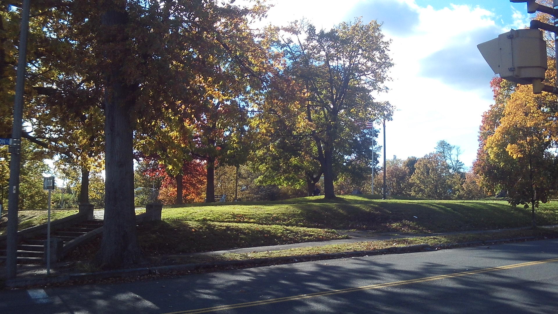
The Maple Street Playground was formed in about 1910. A 1911 scene is shown in the image just above. This park was located at the location now occupied by the Lawrence School.
block 10 – Hampshire to Sargeant
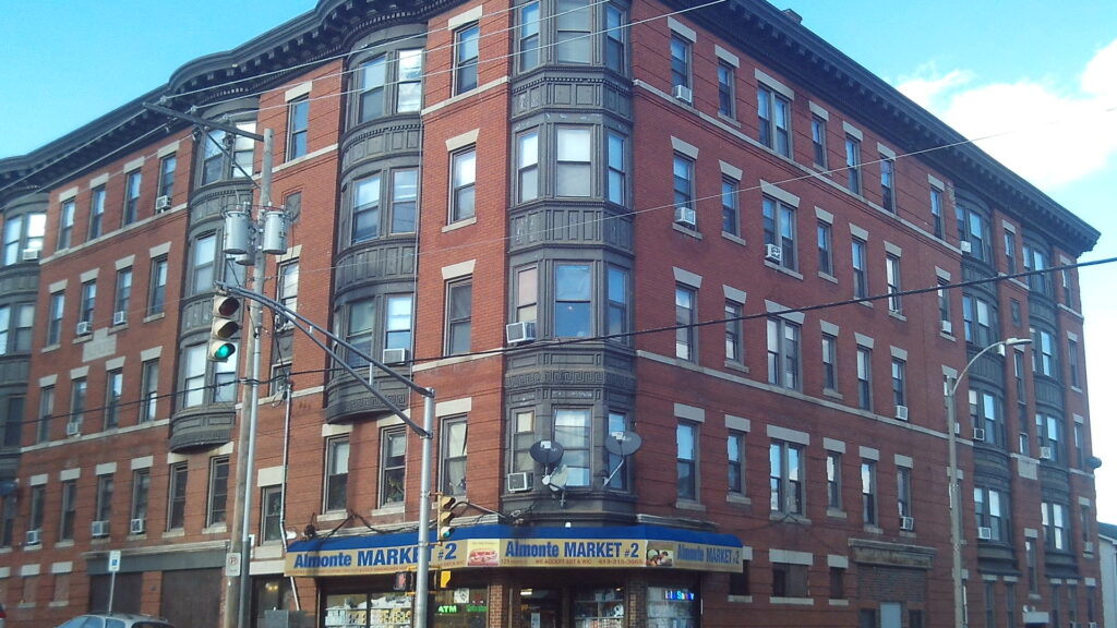
There are many tenement houses on this block. Housing went up very fast as the mills started to succeed in Holyoke. The Armand at 413 Maple Street and 129 Sargeant Street is from 1907.
block 11 – Sargeant to Franklin
The Richmond at 462-464 Maple Street is from 1910. It was designed by the famous Holyoke architect George Alderman.
Sacred Heart Church and Campus HERE
block 12 – Franklin to Jackson
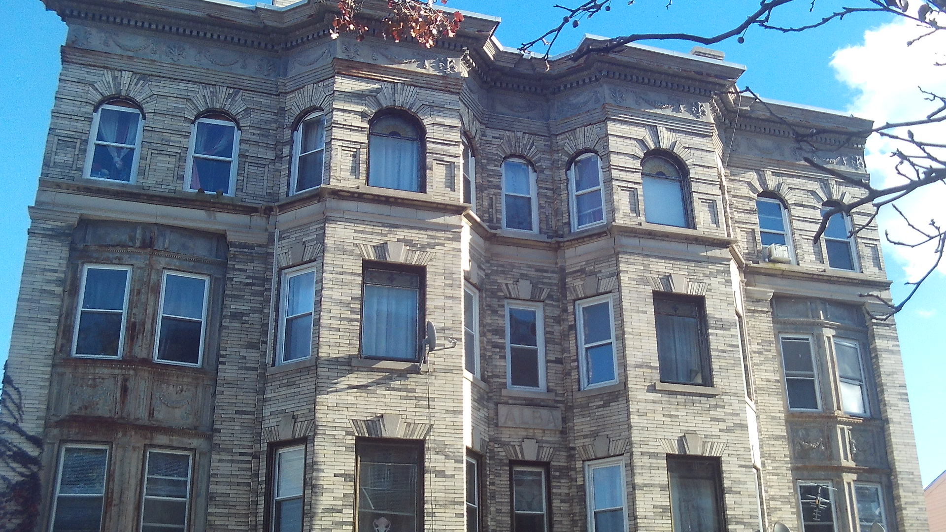
The Alba block at 470 Maple Street is from 1911.
The Falcetti Towers is one of the many low income housing sites around Holyoke. Behind it and to its south is a plot of land that will be used for low income housing.
block 13 – Jackson to South Street
Sheard Park is part of the Elmwood Park – read HERE at stop 3
| Sanborn map | 1884 | 1889 | 1895 | 1915 | 1949 | 1956 |
| park to Fr Kolbe | map | map | map | map | map | map A B |
| Fr Kolbe to Lyman | map | map | map | map | map | map A B |
| Lyman to Hampden | map | map | map | map | map | map A B |
| Hampden to Dwight | map | map | map | map | map | map A B |
| Dwight to Suffolk | map | map | map | map | map | map A B |
| Suffolk to Appleton | map | map | map | map | map | map A B |
| Appleton to Essex | map | map | map | map | map | map A B |
| Essex to Cabot | map | map | map | map | map | map A B |
| Cabot to Hampshire | map | map | map | map | map | map A B |
| Hampshire to Sargeant | map | map | map | map | map | map |
| Sargeant to Franklin | map | map | map | map | map | map |
| Franklin to Jackson | map | map | map | map | map | map |
| Jackson to South | map | map | map | map | map | map |