- This is one of many Olmsted designs in Holyoke. Read about the rest at this LINK.
- Parks of Holyoke
- Private GROUP TOUR (COSTS) is one hour long for this Springdale Park and neighborhood walking tour. Also a one hour indoor presentation can be given.
- Booklets are available for purchase at this PAGE.
- A free public tour comes up every five years.
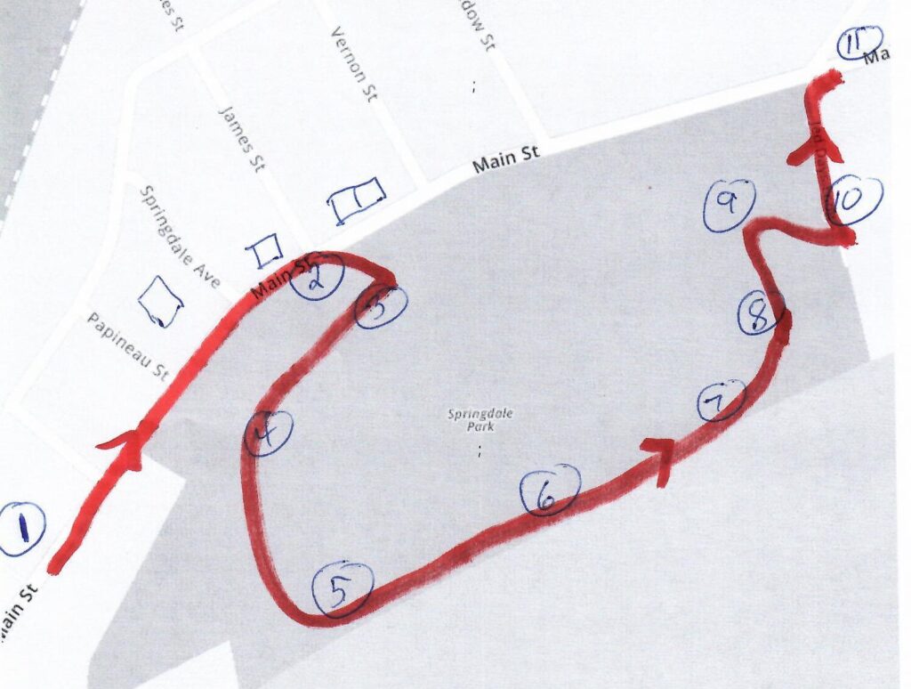
- A self-tour is available for anyone using the maps and text seen below. – LOCATION and PARKING
stop 1 – John Prew house
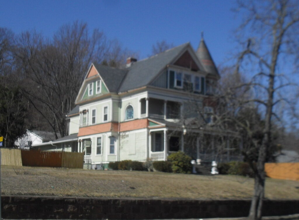
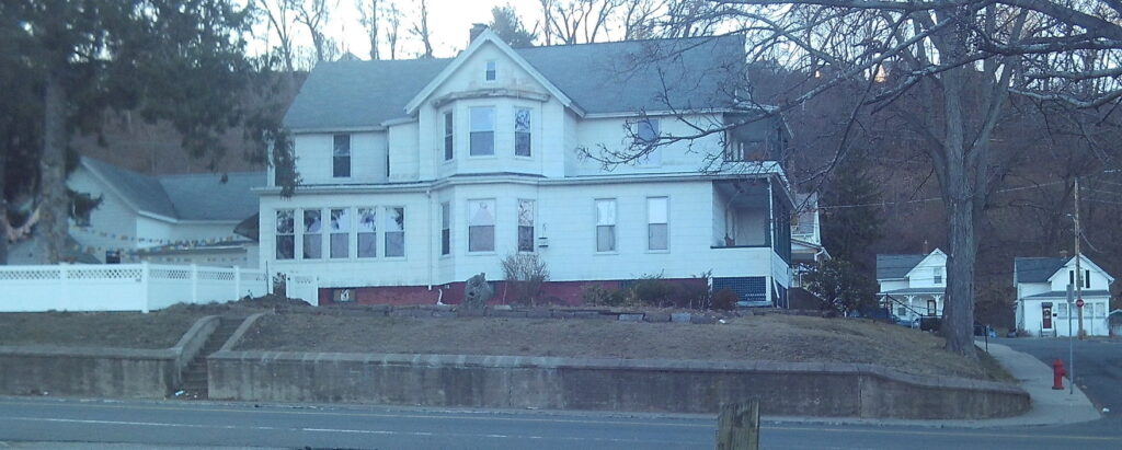
John Prew built his beautiful home in this neighborhood in 1887. (John Prew house is at 887 Main Street.) He bought the land from the Day family whose progenitor was Jedediah Day. He was a developer and a contractor that wanted to make this neighborhood populated. He bought all the land and made plans for streets. He then gradually sold off the land to home builders. The park across the street he made into a race track for horses. He loved horses and he loved profits so he started a racing track program. He knew all along that the trolley would come through this neighborhood and land prices would go up. His father Nicholas Prew was the first settler into Holyoke from Quebec. His father brought about 500 Quebec pioneers down into Holyoke in the 1850s. The home directly across the street is also very old being from the 1870s. It was owned by Prew also. There were two old farm homes about 100 yards south of here that were older still but they are not around any more. STORY about Prew’s Picture Rooms.
stop 2 – Residences
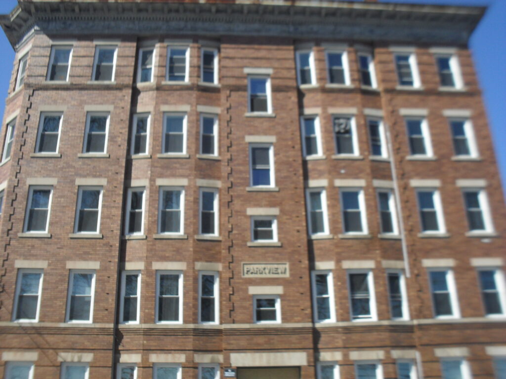
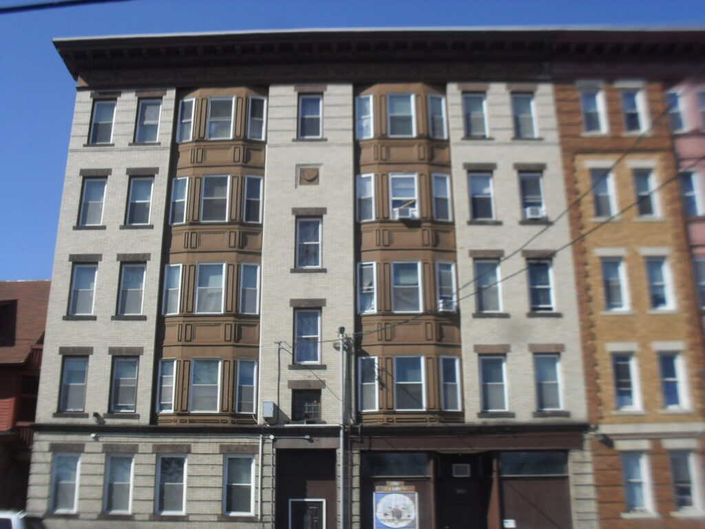
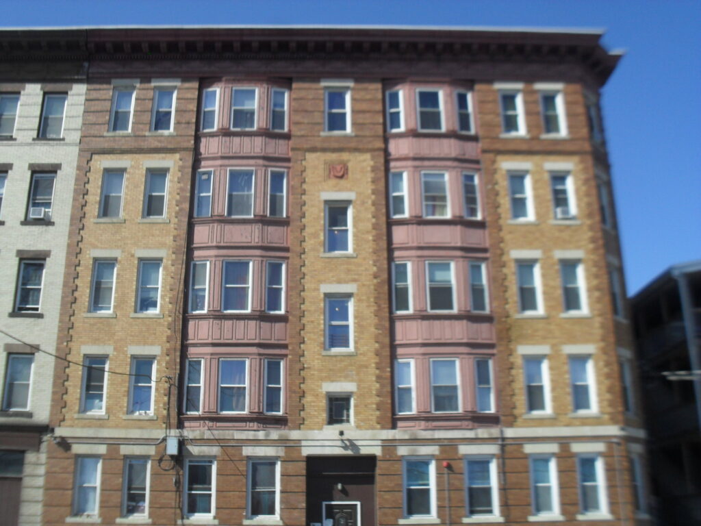
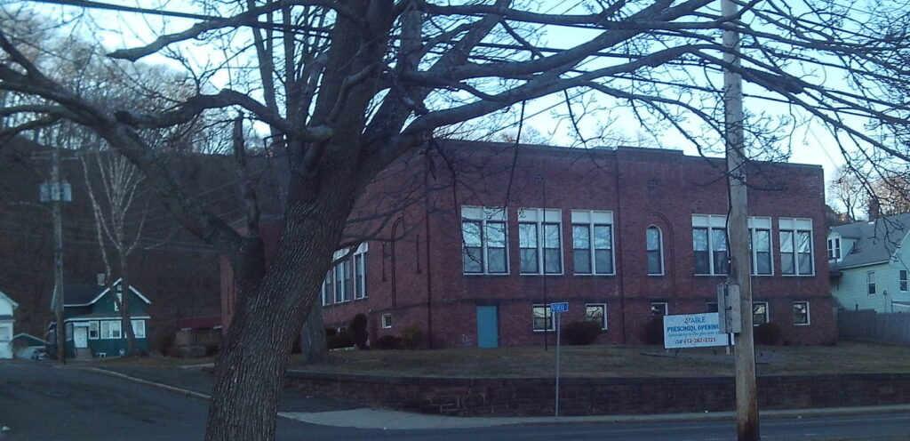
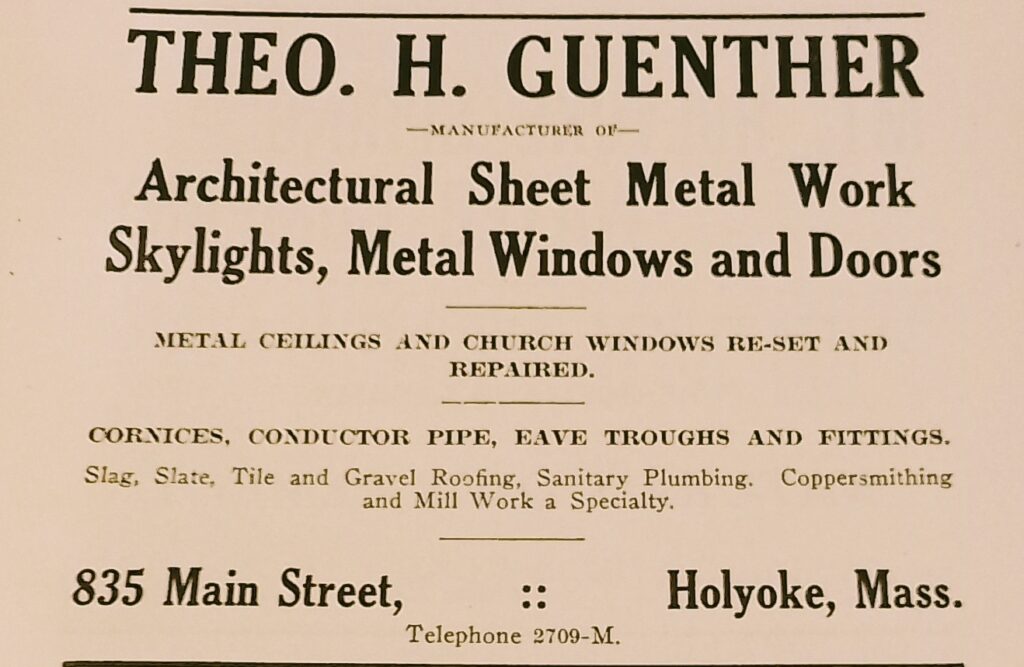
The Parkview (859 Main Street) is the first building that you met as you leave the parking lot. It was owned by the same family for many decades. Frank and then Ralph Vogel owned this building since it was built in the early 1900s. Just past the Vogel building is the Guenther Block and the Alfred Paquette Block. (Guenther Block and the Alfred Paquette Block is at 853 and 851 Main Street.) To the south of the Vogel Block is the Springdale School (873 Main Street). This is the second rendition of the school since in 1936 the first school was destroyed by the flood of that year and had to be torn down. Down Vernon Street is the Turn Hall. This one was made in 1888 and was one of two in Holyoke. The 1871 building is still on South Bridge Street but the Vernon Street one was taken down in 2021.
Sanborn map analysis:
Sanborn 1895 map shows the first such map and scattered homes
Sanborn 1915 map shows the growth of the neighborhood
stop 3 – Horse Racing Track
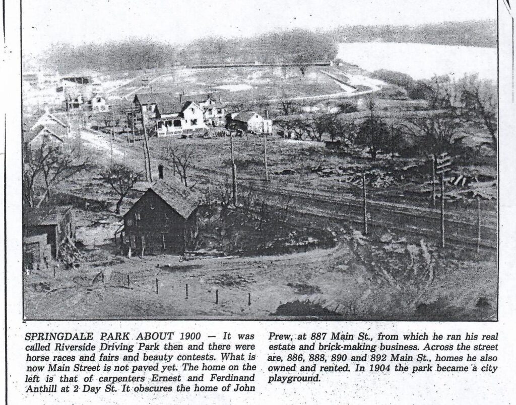
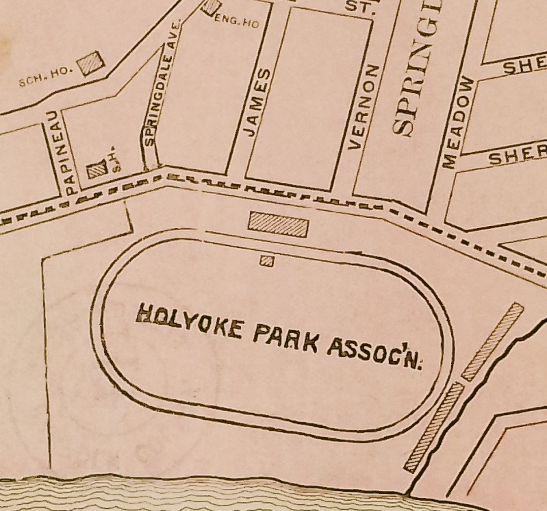
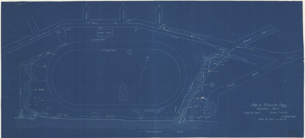
The horse racing track was in this park from 1895 to 1905. It had originally been called James Mirrick’s Meadows. It was a half mile track and was oriented quite like the track that was only a few hundred yards to its north. It was called the Riverside Driving Park. It was also at times a fairground.
It was taken over by the city in 1905 and changed into a park only. There were negotiations over the land for years but finally it had to be taken by eminent domain. John Prew died in 1916. In 1921 even more land in the southern part of the park was taken over by the city.
stop 4 – Olmsted Park
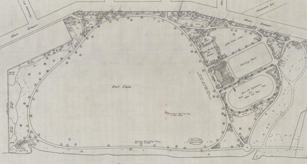
The city of Holyoke asked the Olmsted Brothers to design a park here. In 1903 they drew up a prior PLAN of what it looked like before work was started. In 1906 to 1908 they designed and helped Holyoke implement the park. There was a large driving track for cars and walkers made out of cinders. To the north was a wading pool (completed in the spring of 1909), an open outdoor gymnasium with a running track (completed in 1908), and an open play area for young people (called the Little Folks Lawn). In 1906 the first of two ball fields was added. In 1907 a second baseball field (for younger people) and a cricket crease were added plus much grading was done of the land. The land to the south which once was not level and some of it part of the dingle were leveled. All of these features are gone.
In 1910 the parks commission share a small plot with the playgrounds commission. With that generous gesture a parallel bar apparatus was added.
In 1914 the Little Folks Lawn received a row of rose bushes and a trellis. The trellis was long and high. The rose garden continued to grow through the years with additions in the 1920s. By 1928, there were 800 rose bushes in Springdale Park with 200 of those having been added in 1927 alone. The parks department was so good about this rose area that even though when the winter and the floods of 1930 destroyed 300 rose bushes, in 1931 all 300 bushes were replaced. Then in 1935 300 more rose bushes were added. In 1940, 150 more rose bushes were added plus 100 more non-rose bushes. In 1957, 100 more rose bushes. This entire rose trellis was recreated in 1996.
The Olmsted Brothers were very detailed about which tree species to plant where but it is hard to know if these details were followed. In 1915 it is known that 200 trees were planted in the park. Some of these trees along Main Street are from that era.
Besides the roses and the trees, George Sinclair who owned a lot of greenhouses around Holyoke donated flowers to this park and other parks.
The name was changed from Riverside Park to Springdale Park in 1931. Riverside Park was used from the origins of the park until 1930. The term Springdale Playground also started being used in 1931. In 1956 this change became official.
stop 5 – Sports Fields
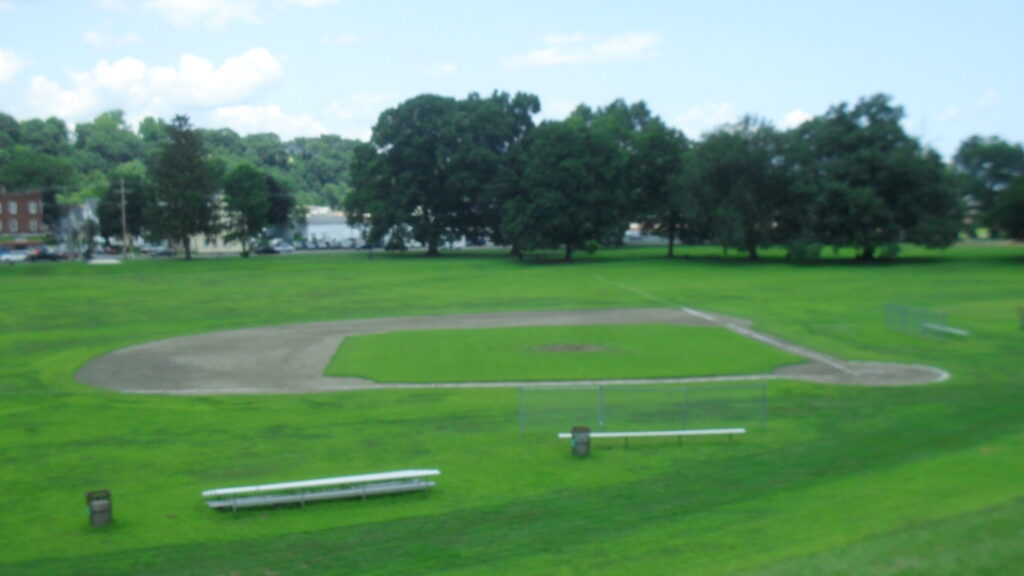
In 1937 tarred walkways, drives, and track were added. These were perhaps a drift away from an Olmsted design.
After the Olmsted style park started drifting away, many baseball fields filled the void. There is also a basketball court.
stop 6 – Dike
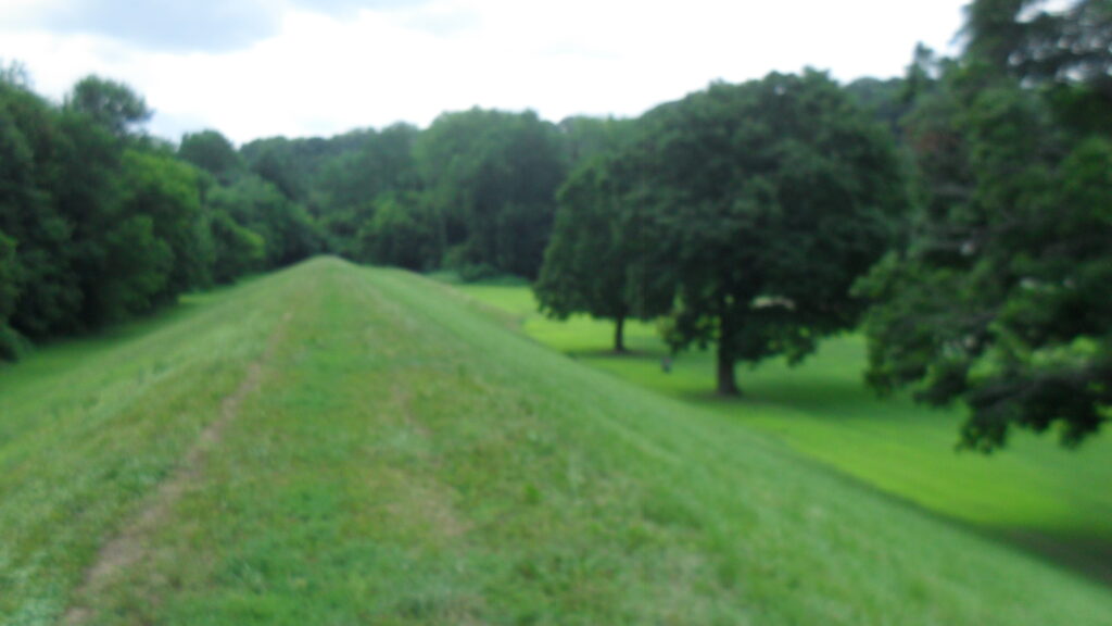
There was a previous levee system put in place in 1927 but it was breached by the floods of the 1930s. The flood of 1936 left Springdale under 13 feet of water. In 1932 this original levee was embellished with 3 flights of stairs and then in 1934 a dirt path was added to its top along with another flight of stairs.
After two harsh floods in 1936 and in 1938 in Holyoke, the Corps of Engineers designed the implemented a flood control plan. That plan included four pumping station in case of another large floor and one of those pumping stations is in the Springdale Park. Also the plan included a system of walls and one dike. The dike is clearly here in this park and is still in great. The dike is two feet higher than the levee. Daniel O’Connell’s Company completed the seawalls and this dike around Holyoke in 1940. The entire system is called the Flood Protective Wall. In 1937 an attempt was made at starting the dike but a horrible floor came the next year. The trees that parallel this dike were most likely planted in 1947 when the dike had to be moved westward a bit from the river. (This also lead to the baseball diamond having to point in the reverse direction.)
stop 7 – Connecticut River
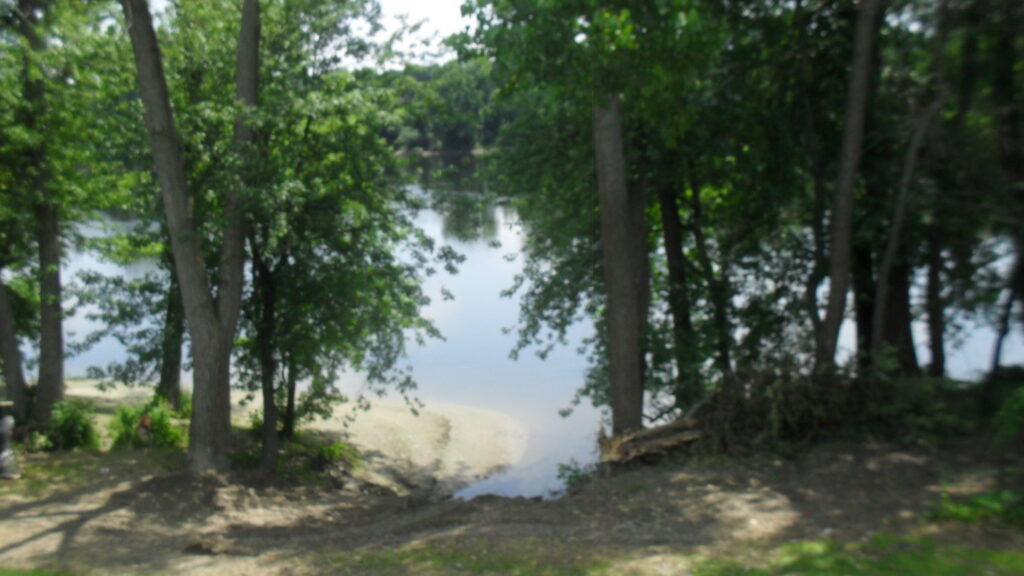
The Connecticut River is the longest river in New England. Across the river at this point is Chicopee. The river is very bland at this point since the banks are straight and the river is placid.
stop 8 – Springdale Pumping Station
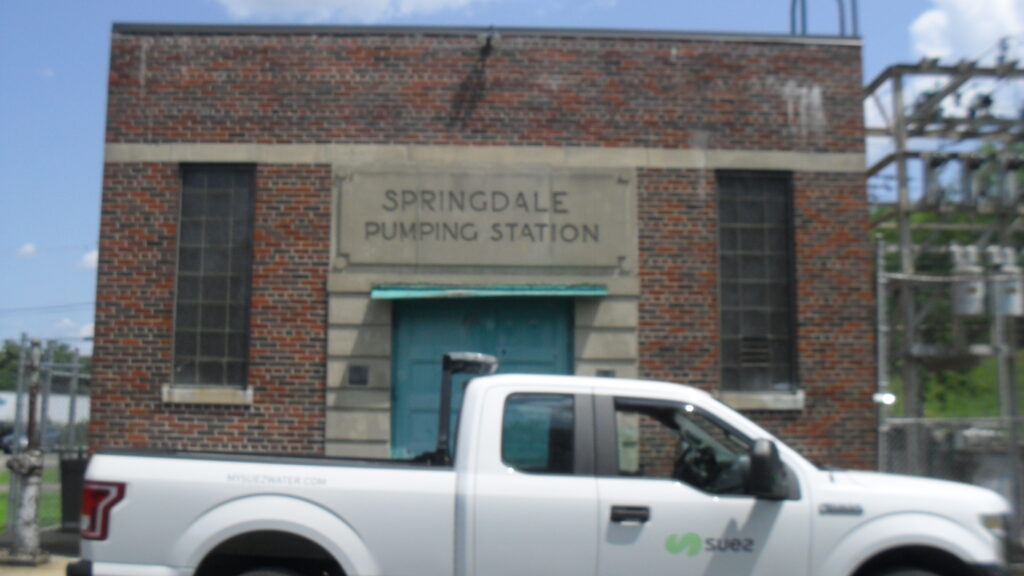
The Springdale Pumping Station is just one of 5 in Holyoke. These are to pump water out of the flooded fields. This was put in place in 1941 as part of the flood control plan.
stop 9 – WPA Building
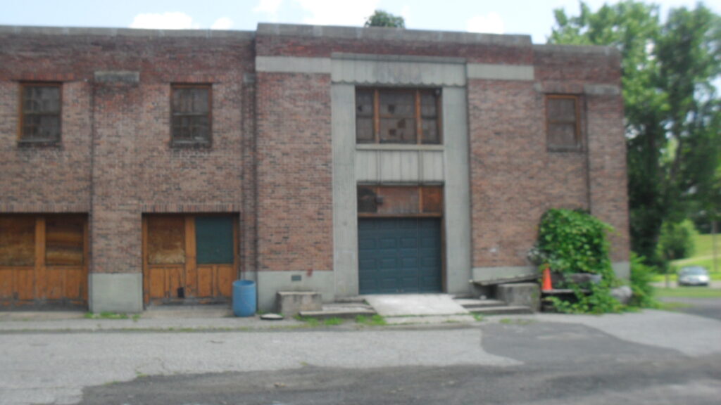
The Works Progress Administration had over 100 projects in Holyoke during the 1930s and early 1940s. One of those was to build this nice building – Springdale Service and Storage Building. It has a work room, a 4 bay garage, a locker room, a paint shop, and a storage room. It was started in 1937 and completed in 1938.
stop 10 – Jedediah Day Ferry
The Jedediah Day Ferry is one of 4 ferries that ran across the Connecticut River within Holyoke. Two of those ferries were actually in the northern part of Holyoke at a time when that region was still part of Northampton. This Jedediah Day Ferry ran from the Holyoke side near here over to Chicopee.
stop 11 – Springdale Industrial Park
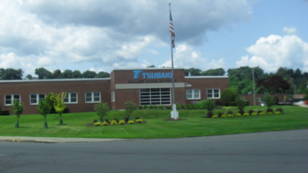
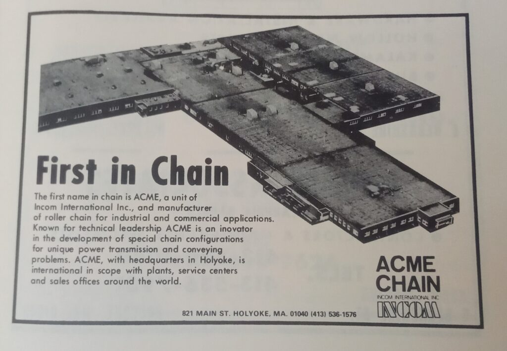
Acme Chain formerly was located in the Springdale Industrial Park. Now it is Tsubaki.
Back to the Start
