Old Spillway 5 and and History of the Canals

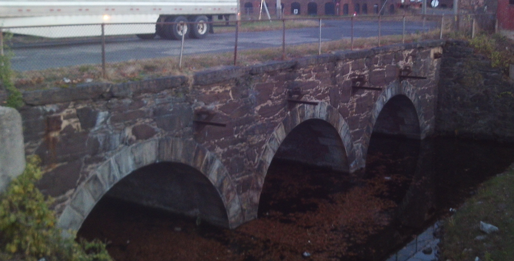
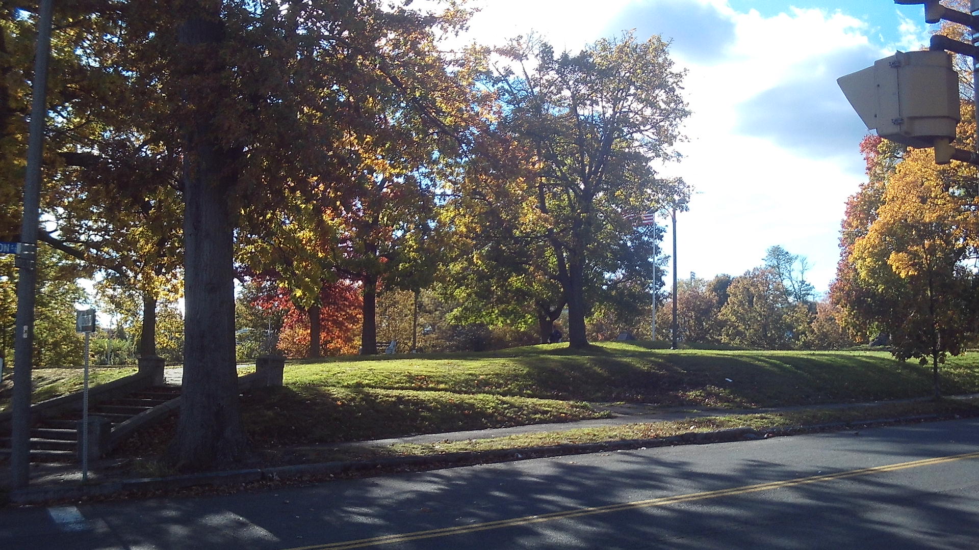
The Old Spillway 5 is at the juncture of Appleton Street and Water Street.

This is were the spillway number 5 used to be before it was taken out. Stand on Appleton Street between Water Street and the juncture of North Canal and South Canal Streets. Look to the north. There is the spillway. The water in the Second Level Canal once flowed a half mile farther south. Now this portion is just a safety canal. It is the southeastern end of the Second Level Canal.

The Norman Paper Mill is just to the east.

History of the Canals by their Development in Lengths

First Level Canal:

1847 to 1853 dug to 350 feet north of Dwight Street

1871 to 1872 dug to Appleton Street

1872 to 1880 dug to 75 feet north of Cabot Street

1880 to 1883 dug to Sargeant

Second Level Canal:

1847 to 1853 dug along the western branch from County Bridge to 150 feet north of Cabot and Race

1854 to 1857 dug south to the end

1872 to 1874 dug along the eastern branch from County Bridge to Lyman Street at the River

1880 to 1882 dug along the eastern branch to 600 feet more

1888 to 1892 dug to Appleton

Third Level Canal:

unknown – dug from Race to Cabot

1880 to 1884 dug from Cabot to Appleton

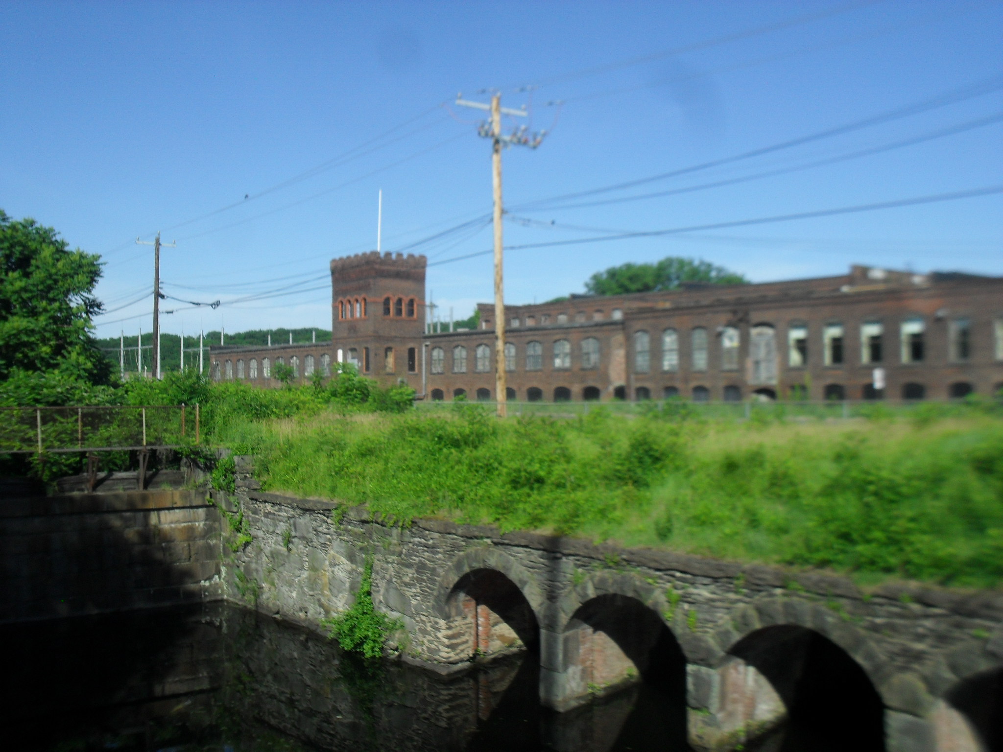
The mill to your west is the Whitmore Paper Mill

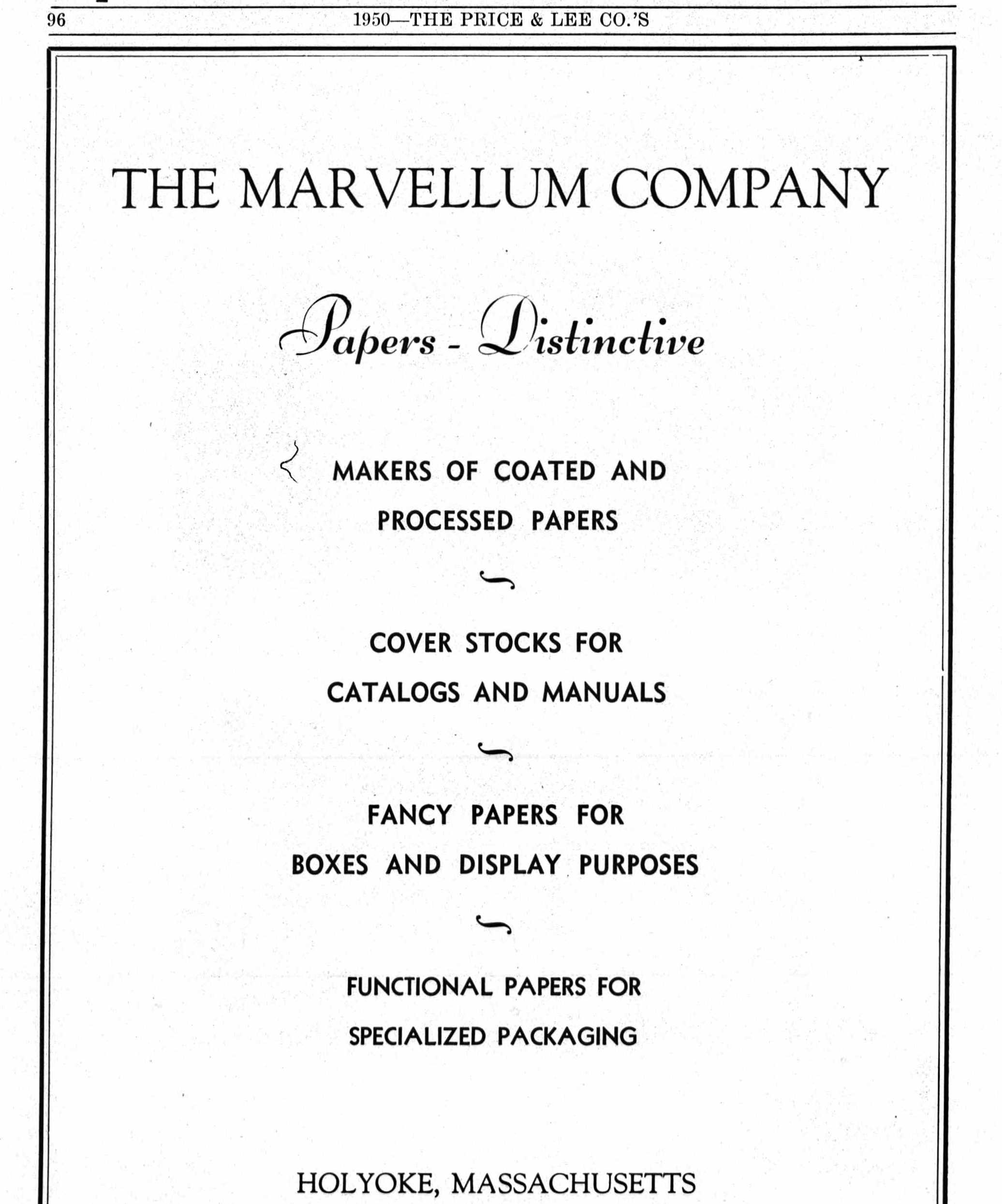
The mill to your southwest is the Marvellum or Springfield Photo Mount firm.

Munn Block

The Munn Block is at 329 to 331 High Street. It was a four floor building.

This image has an empty alt attribute; its file name is 9487578-1024x384.jpg
1890 ad

In about the 1930s, the building was lowered and remodeled to an Art Deco look.

Sanborn map analysis:

Sanborn 1884 map shows a 2 floor stone structure

Sanborn 1889 map shows an empty lot

Sanborn 1895 map shows a 4 floor building

Sanborn 1915 map shows a 4 floor building

Sanborn 1949 map it is one floor

Sanborn 1956 map it is one floor

Connor Brothers Woolen Mill

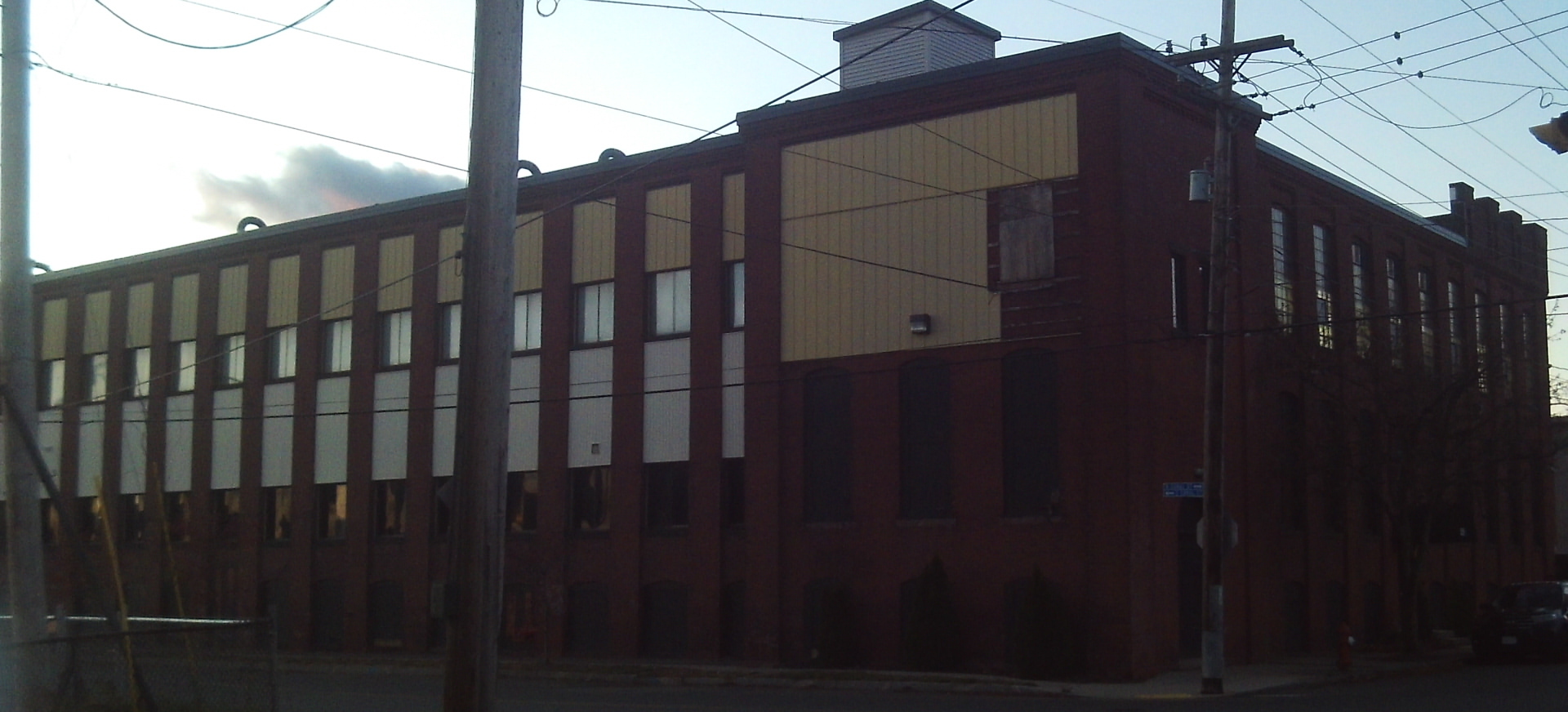
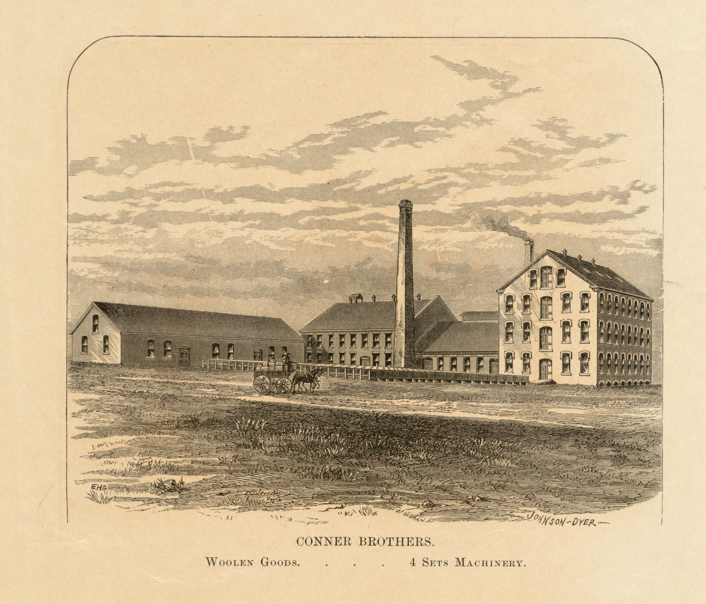
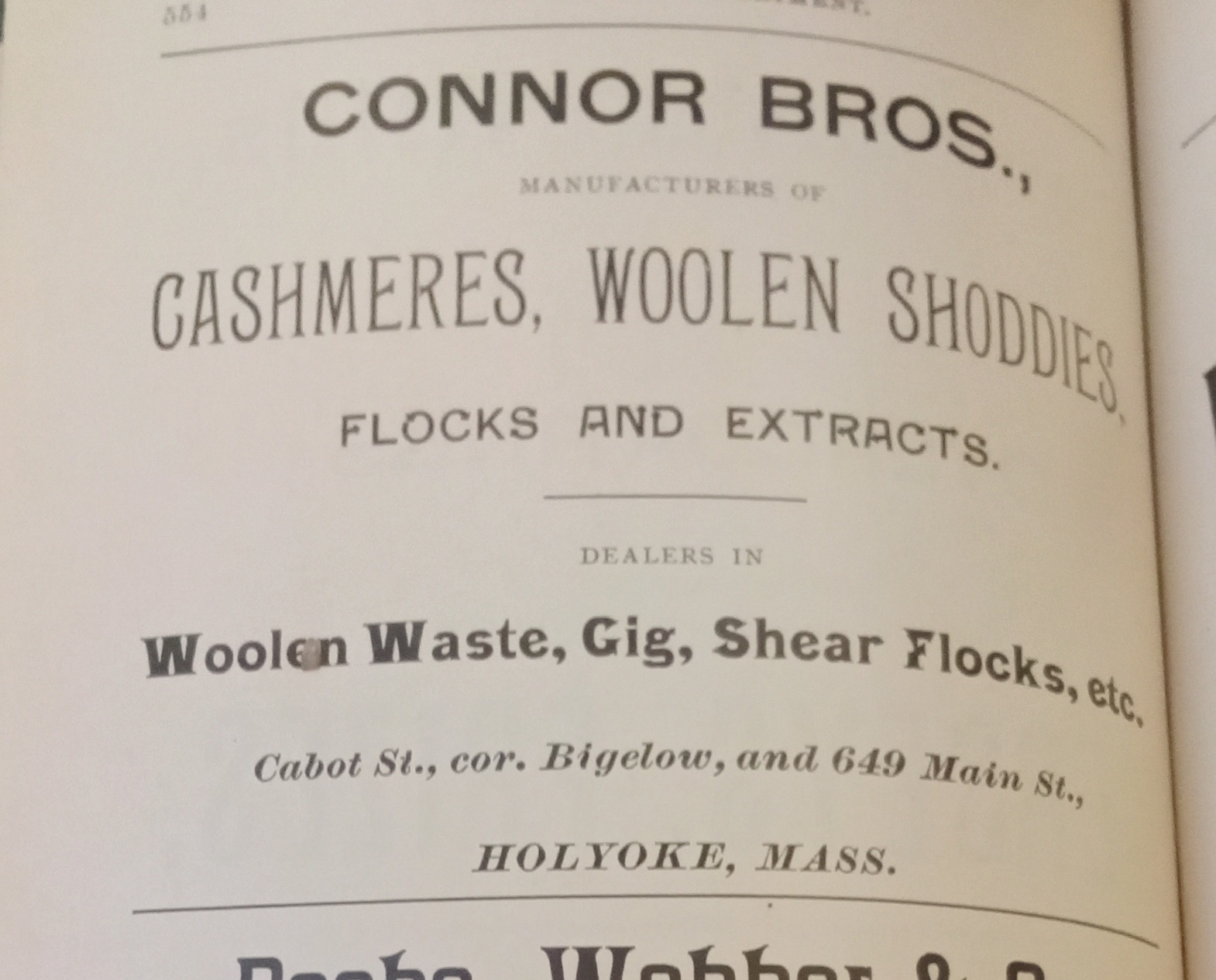
The Connor Brothers Woolen and Shoddy Mill are the makers of cassimeres, overcoating, cloakings, wool shoddies, flocks, extracts, wool waste, gig, and shear flocks.

They had two locations in Holyoke. One at the crossing of the Second and Third Levels and then at the First near the Skinner Mill. While there they were called Connor Brothers Satinette.

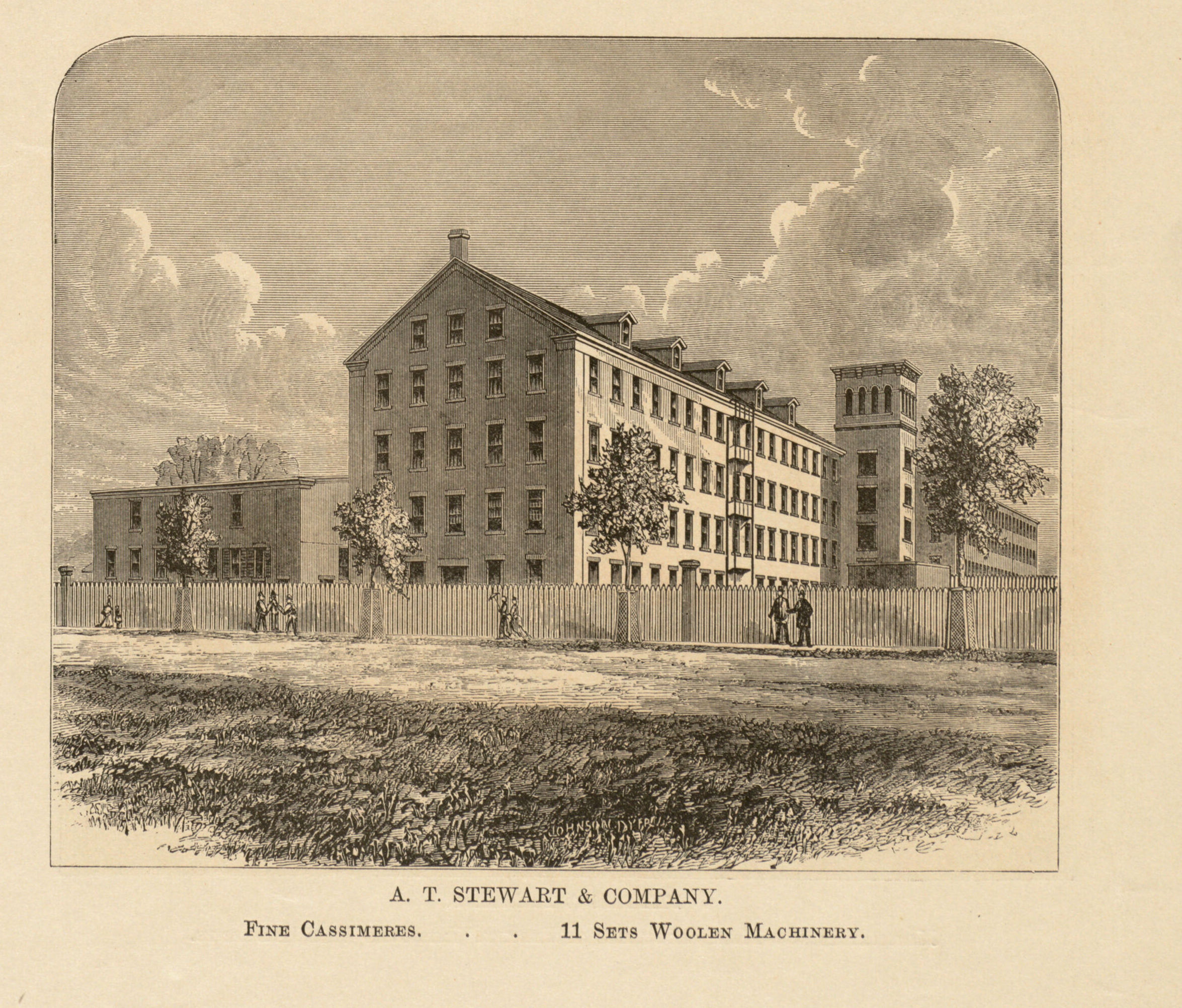
The A T Stewart Mill is from 1864. It would be run as the New York Mill until the early 1880s. The Connor Brothers would operate this until a 1901 bankruptcy.

1892 ad

Gig here means to raise the nap on fabric. Gig has many other meanings.

See also New York Woolen.

Sanborn map analysis:

Sanborn 1884 map

Sanborn 1889 map

Sanborn 1895 map

Sanborn 1915 map – taken down and replaced by Farr Alpaca Weave Shed – Read about the Farr Alpaca HERE

Sesquicentennial of Holyoke

Holyoke 150th Commemorative Book

Holyoke City Hall Dedication

Art Contest

Holyoke Civic Symphony

(The city is hosting events and also any outside events can promote their event with a 150th logo. See exploreholyoke.com)

Volleyball Time Capsule from 2023 to be opened in 2073

150th anniversary in 2023sesquicentennial

175th anniversary in 2023

125th anniversary in 2023

100th anniversary in 2023

Past celebrations of Holyoke’s anniversaries:

25th year in 1898

50th year – Semi-Centennial in 1923

75th year in 1948

100th year in 1973

there was no 125th year celebration

the 200th year anniversary is in 2073

Maple Street

  • Private GROUP TOUR (COSTS) is two hours long for this Maple Street and Neighborhood walking tour. Also a one hour indoor presentation can be given.
  • A free public tour comes up every five years.
  • A self-tour is available for anyone using the maps and text seen below.LOCATION
  • Streets of Holyoke

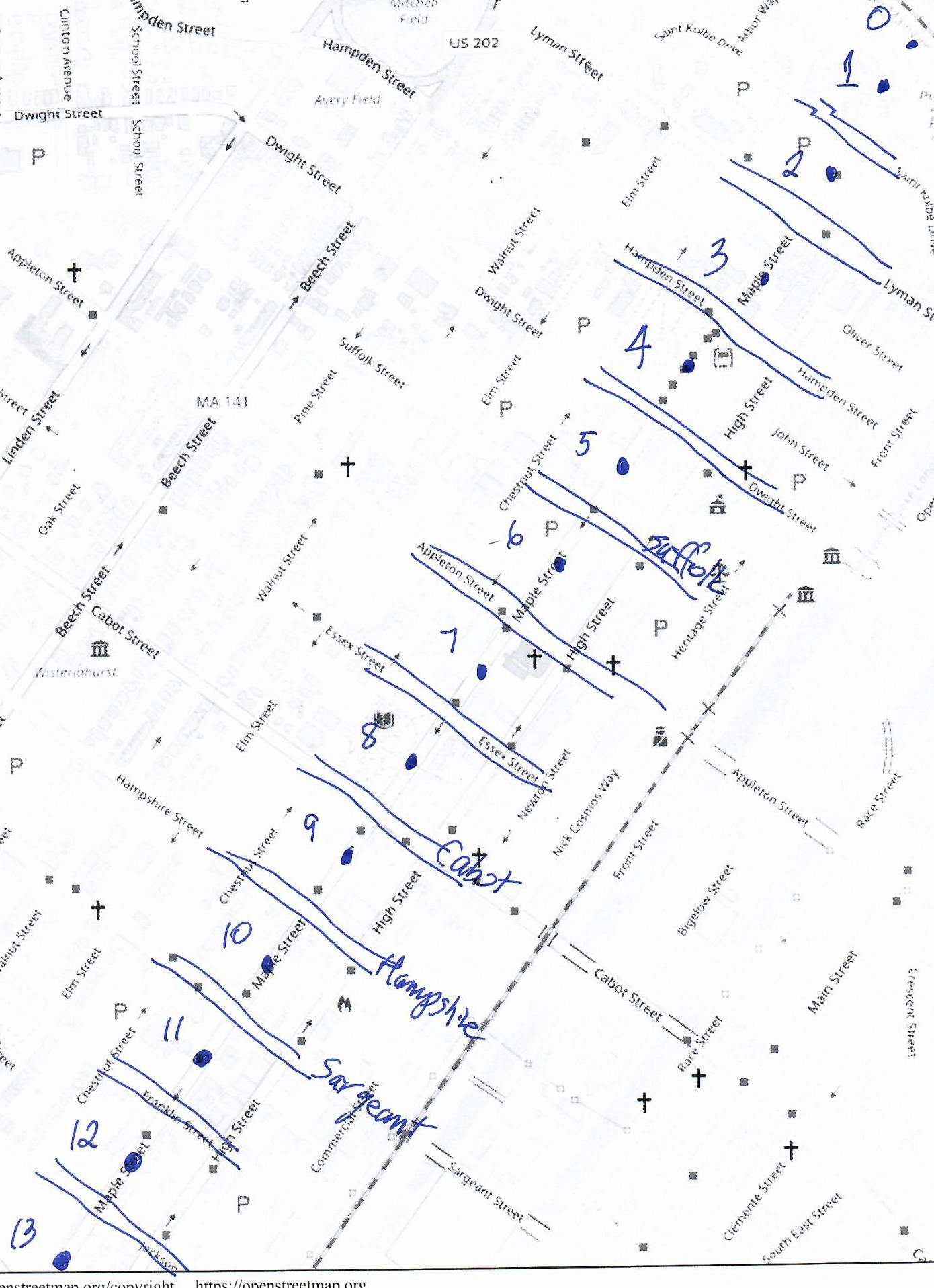
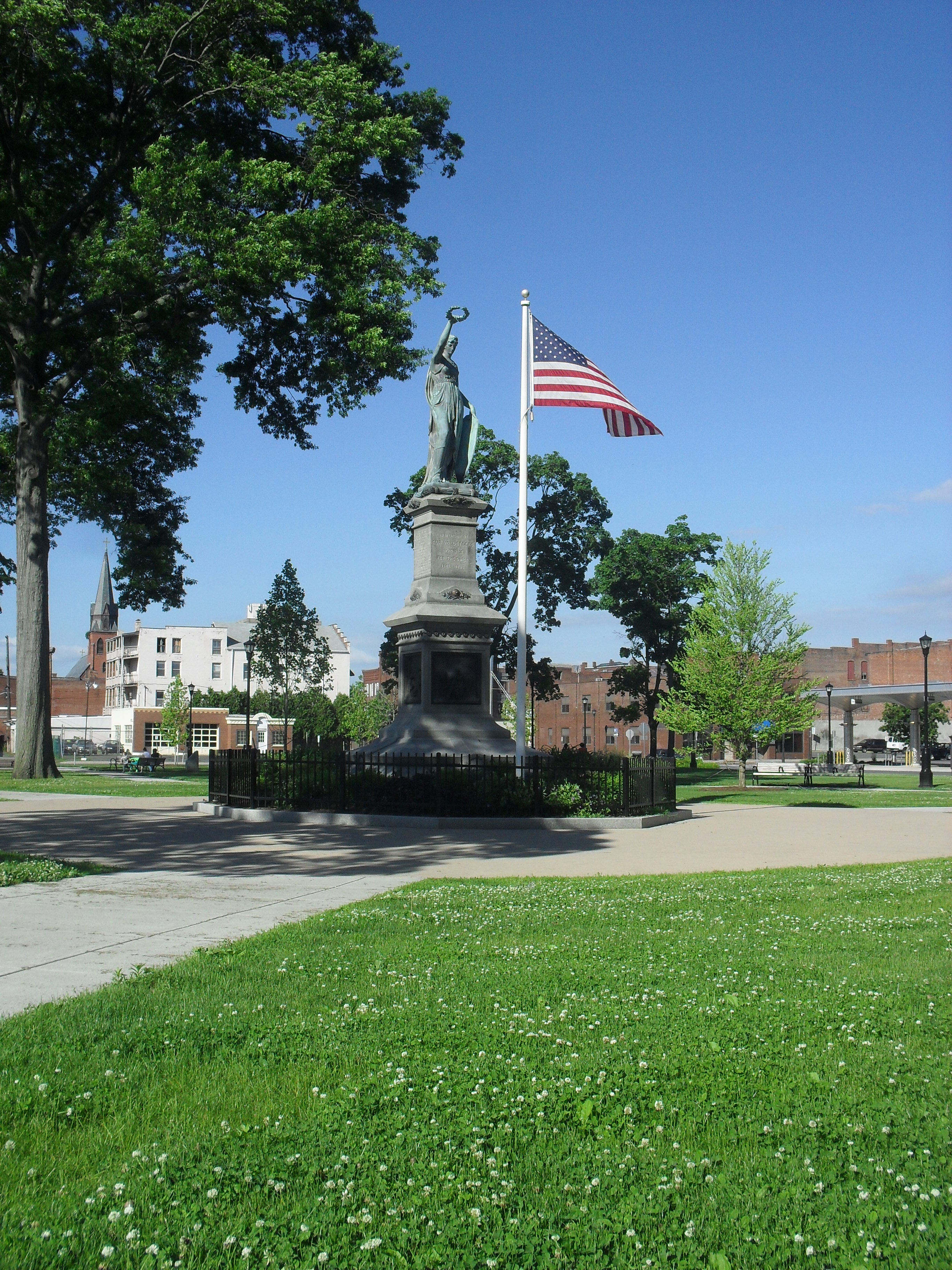
Maple Street is a very interesting street in Holyoke. It has Veteran Park and the Central Fire Station and more. Park at Pulaski Park at the northernmost end of Maple Street.

block 0 – Connecticut River to Pulaski Park

Read about Pulaski Park HERE

Read about the Holyoke Canal gatehouse HERE

block 1 – Pulaski Park to Saint Kolbe Drive

Read about the Our Lady of Perpetual Help Church campus HERE

Read about the Mater Dolorosa campus HERE

block 2 – Fr Kolbe to Lyman

The church was on this city block. Read about the Mater Dolorosa campus HERE

block 3 – Lyman to Hampden

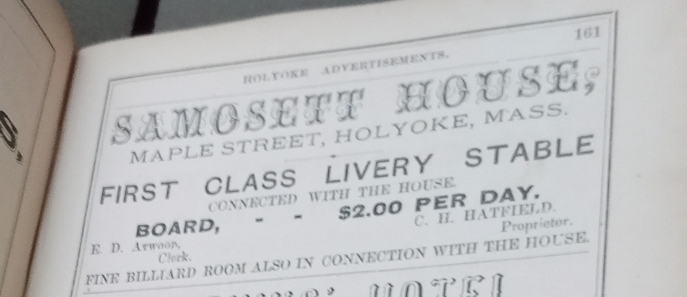
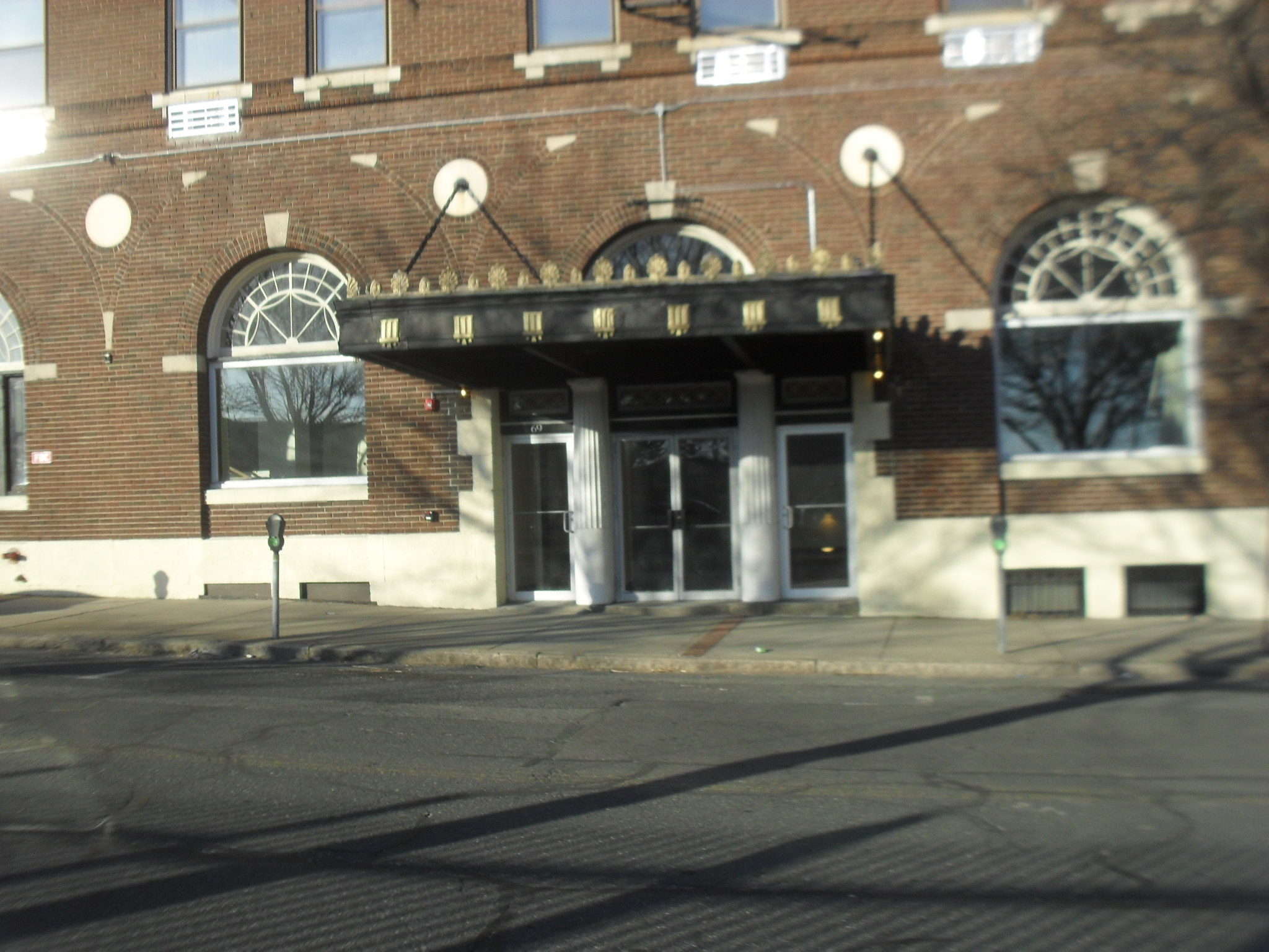
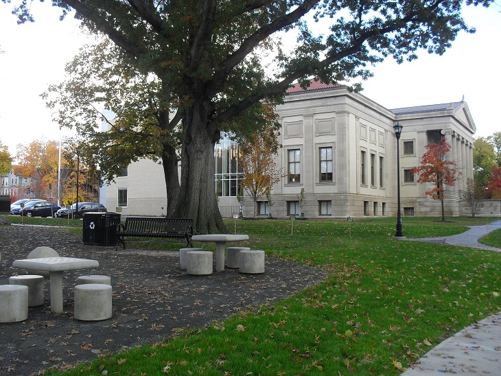
Samosett House – The Samosett was opened on April 8 1850 or so. It was a hotel in the beginning and had 50 rooms. The parapeted cornice is quite unique.

28 Aug 1888

block 4 – Hampden to Dwight

Read about the Veterans’ Park area HERE

Read about the St Jerome’s Church and campus HERE

block 5 – Dwight to Suffolk

This city block has the McAuslan Wakelin Building. Read about it HERE

At the Phoenix there was in 1915 Clark Florist. The Phoenix is on Dwight but also on Maple Street.

Also the St Jerome Temperance Hall. Read HERE

The side of the Holyoke House later called the Roger Smith Hotel is here. It was also called the Nonotuck.

The John Tilley block is at the NE corner of Maple and Suffolk.

block 6 – Suffolk to Appleton

Read about the Strand Theater HERE

block 7 – Appleton to Essex

Read about the Congregational Church HERE

block 8 – Essex to Cabot

Holyoke Library from its Park

Read about the Maplewood Hotel HERE at stop 5

Read about the Holyoke Library HERE

block 9 – Cabot to Hampshire

Read about the Sons of Zion HERE

Read about the Lawrence School HERE

The Maple Street Playground was formed in about 1910. A 1911 scene is shown in the image just above. This park was located at the location now occupied by the Lawrence School.

block 10 – Hampshire to Sargeant

This image has an empty alt attribute; its file name is maples_5-1024x576.jpg

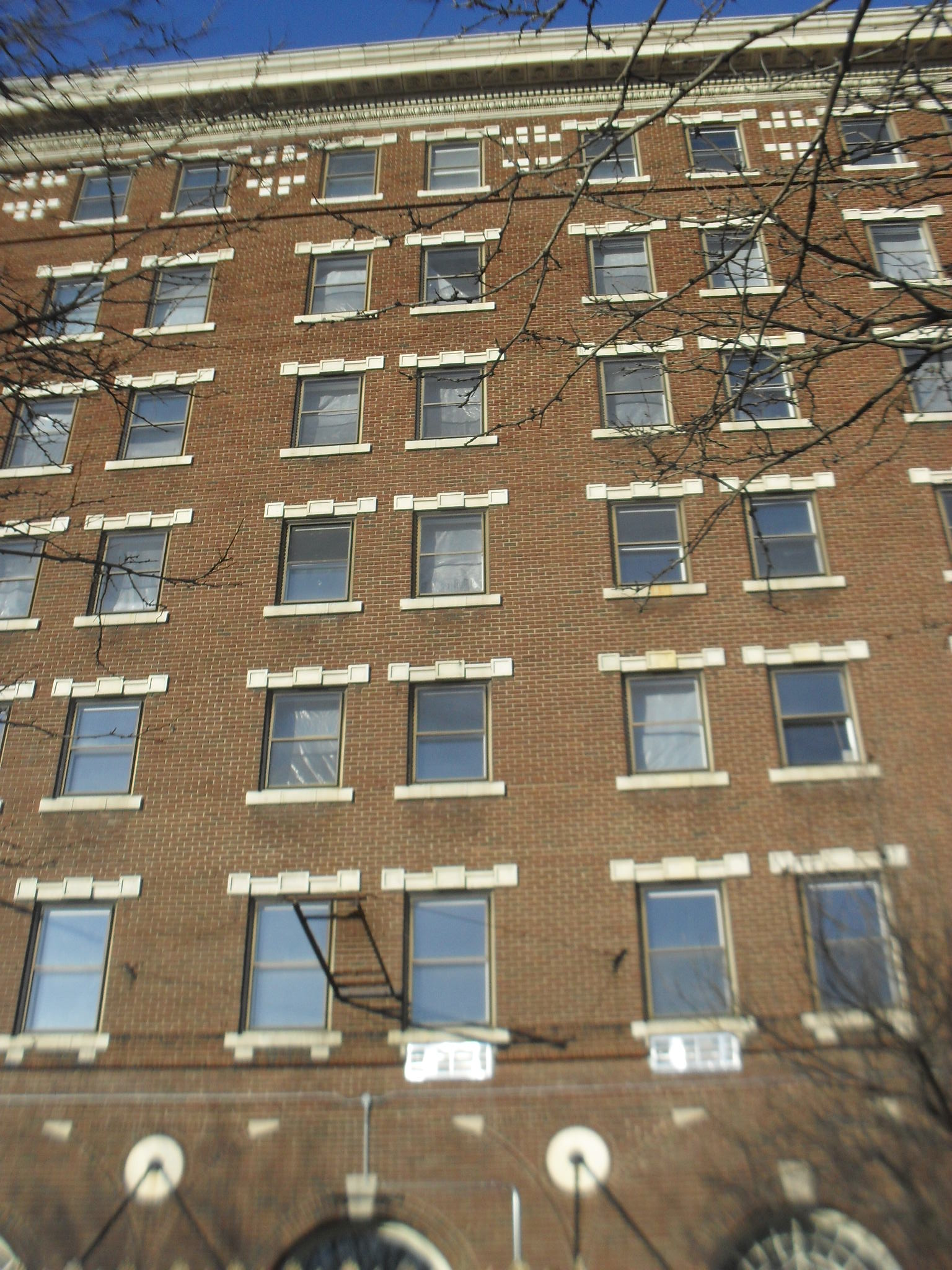
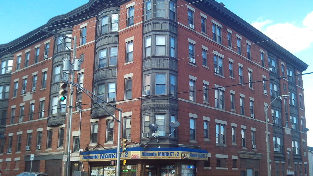
There are many tenement houses on this block. Housing went up very fast as the mills started to succeed in Holyoke. The Armand at 413 Maple Street and 129 Sargeant Street is from 1907.

block 11 – Sargeant to Franklin

This image has an empty alt attribute; its file name is maples-1024x576.jpg

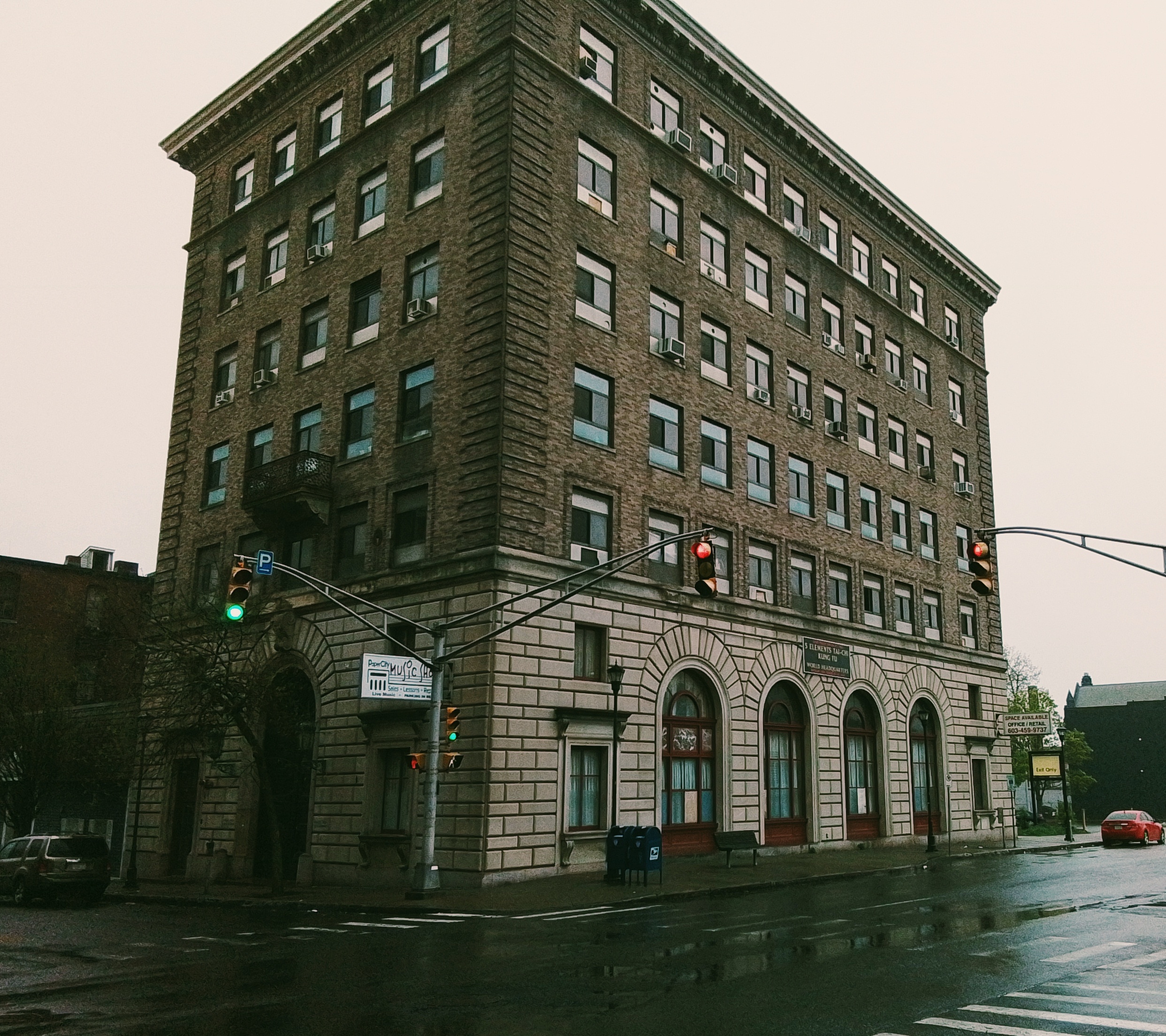
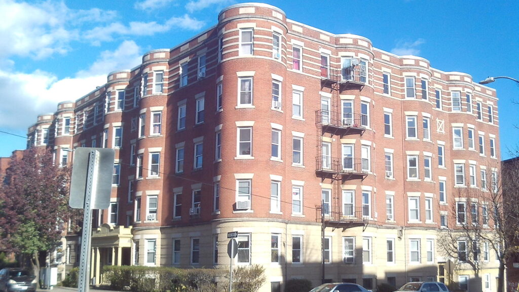
The Richmond at 462-464 Maple Street is from 1910. It was designed by the famous Holyoke architect George Alderman.

Sacred Heart Church and Campus HERE

block 12 – Franklin to Jackson

The Alba block at 470 Maple Street is from 1911.

The Falcetti Towers is one of the many low income housing sites around Holyoke. Behind it and to its south is a plot of land that will be used for low income housing.

block 13 – Jackson to South Street

Sheard Park is part of the Elmwood Park – read HERE at stop 3

Sanborn map188418891895191519491956
park to Fr Kolbemapmap map map mapmap A B
Fr Kolbe to Lymanmapmap map map mapmap A B
Lyman to Hampdenmapmap map map mapmap A B
Hampden to Dwightmapmap map map mapmap A B
Dwight to Suffolkmapmap map map mapmap A B
Suffolk to Appletonmapmap map map mapmap A B
Appleton to Essexmapmap map map mapmap A B
Essex to Cabotmapmap map map mapmap A B
Cabot to Hampshiremapmap map map mapmap A B
Hampshire to Sargeantmap map map map map map
Sargeant to Franklinmap map map map map map
Franklin to Jacksonmap map map map map map
Jackson to Southmap map map map map map