
- Low cost booklets for this tour can be found at the BOOKLETS page.
- Reservoirs of Holyoke
- Private GROUP TOUR (COSTS) is two hours long for this Ashley Reservoir walking tour. Also a one hour indoor presentation can be given.
- The reservoir is NOT handicap accessible and by Massachusetts laws does not have to be. Any attempt to open the land up more will allow motorcycles to trespass.
- A free public tour comes up every year in the fall.
- A self-tour is available for anyone using the maps and text seen below. – LOCATION
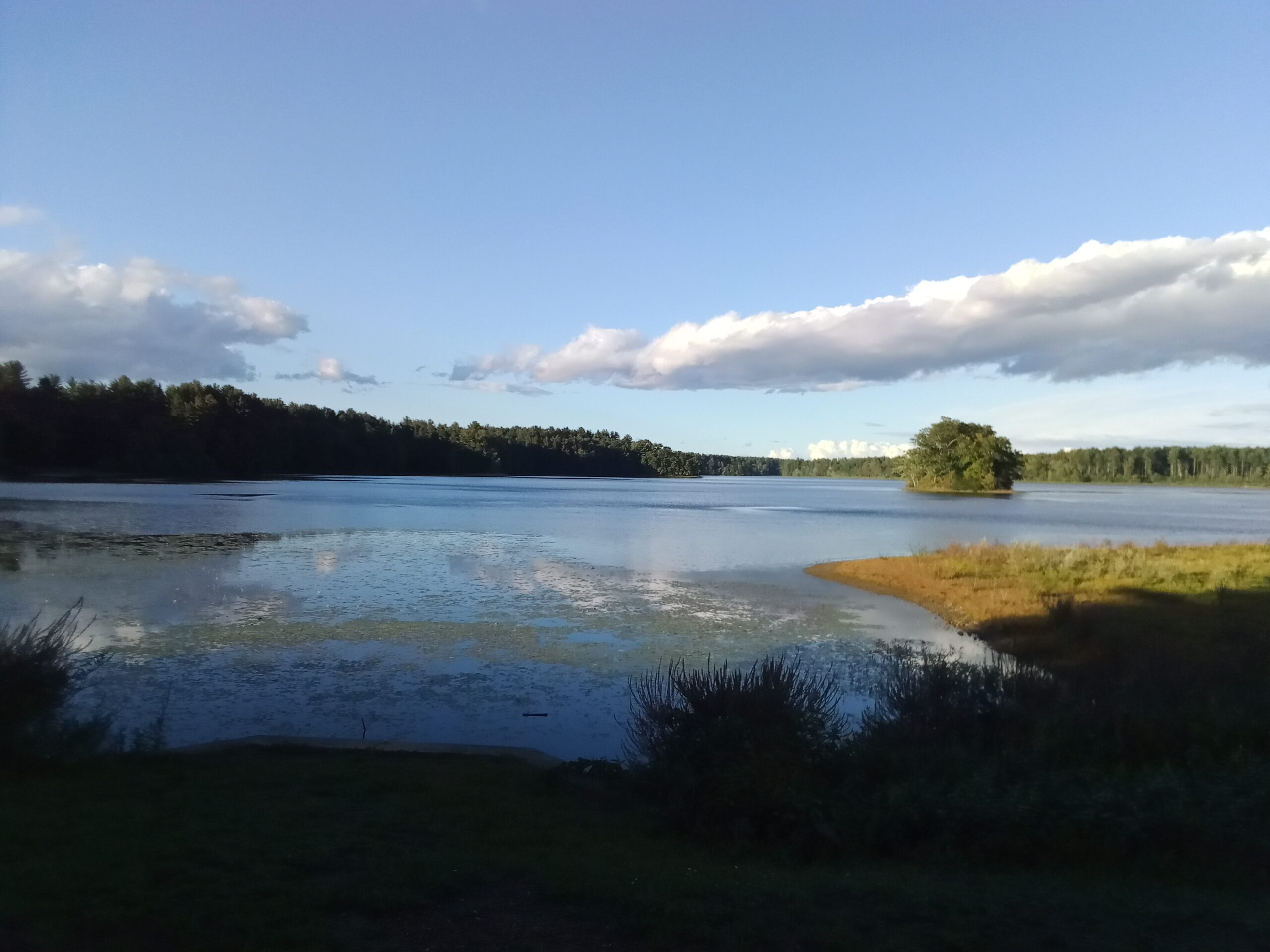
Ashley Ponds Reservoir was originally a pair of ponds in southwestern Holyoke. They were called Wright’s Pond and Ashley’s Pond. There was a need for clean water in Holyoke and thus these two ponds were made into reservoirs in 1873. Before that there was a water vat that could hold 3 million gallons at the Dillon’s Block on Maple Street. Because of the increase in population of the city and due to a small pox scare, a water board was created on March 21 1872. The Ashley Pond area was then done over with grading and dikes. No new homes could be placed into the area and when the old homes went on the market they were bought. Water from Ashley first went into the mains on August 6 1873.

The entire reservoir system is vast. Read about it at this LINK. There are many ways that you can get around the reservoir and get a good tour and hike in. Clockwise or counterclockwise. Walking on the smaller causeways and so on.
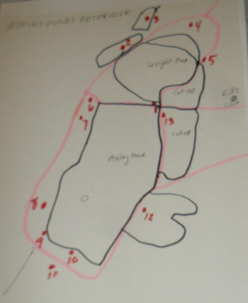
stop 1 – Causeway Crossroads
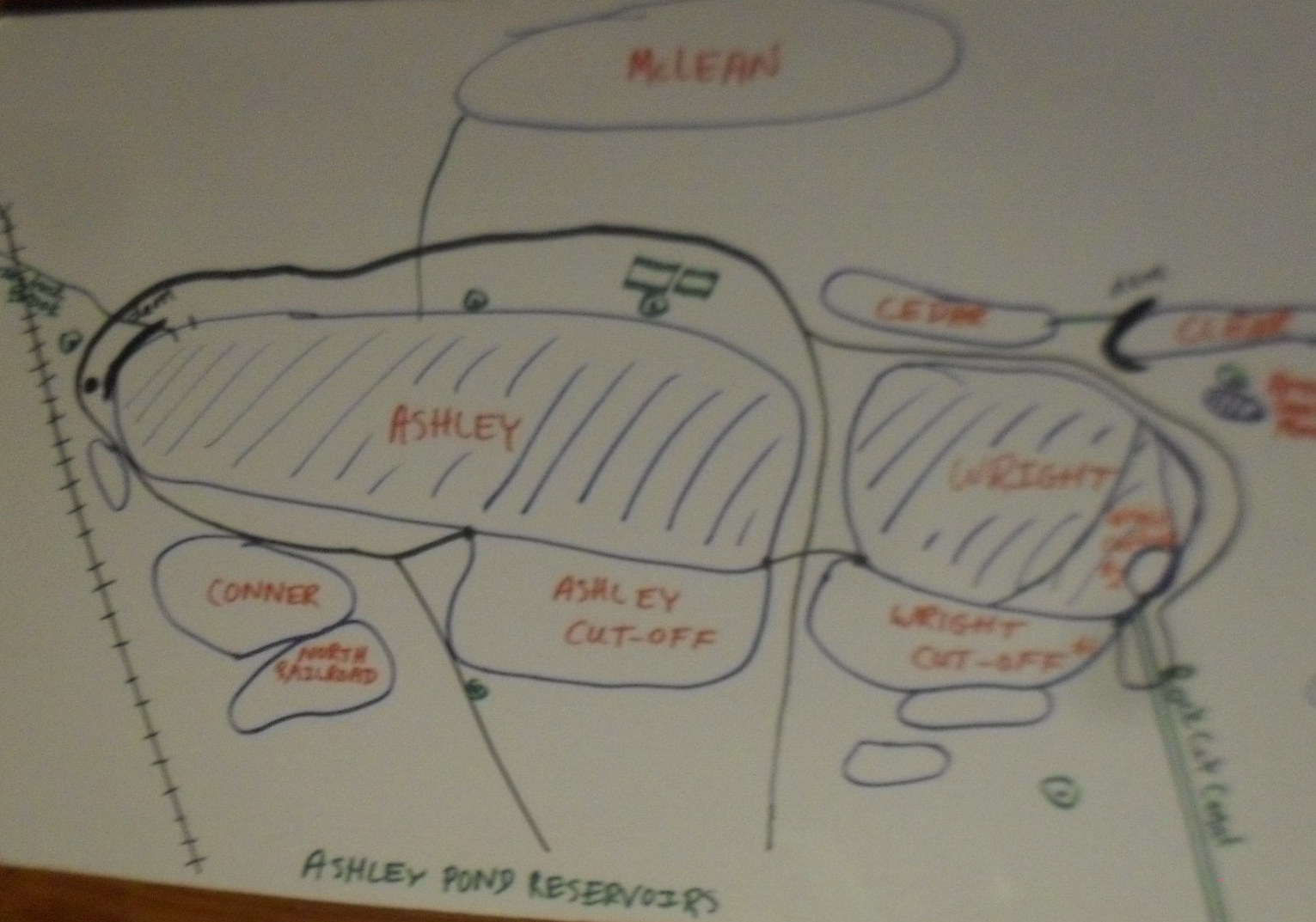
Four roads meet at this intersection of Ashley Ponds Reservoir (LOCATION). Formerly, the main road was called Rock Valley Road but now it is called Whitney Road. The causeway to the north separates Wright’s Pond into two parts and likewise with the causeway to the south which separates Ashley Pond. The northwest body of water is Wright’s Pond and the northwest body is Wright’s Cutoff. The southwest body of water is Ashley Pond and the southeast body is that of Ashley’s Cutoff. There are 11 named reservoirs in the Ashley Pond system and 3 more without names. The unnamed ones are on Charles’ Hill in your descent from the Elks Club.
In 1875 the land around Ashley and Wright Ponds was raised. Again in 1880 the land was raised again to make dikes. In 1880 also boundary stones were placed around both ponds. In 1896 the stone and wood wall that were around the reservoir system were taken down perhaps since the next year the causeway system would be put into place. At the crossroads that you are at now however cement walls were added. You can still see these below the surface of the water on the road to the east. In 1908 the road here was raised 18 inches and in later years the road was raised more. Now as you can see the concrete wall that was once at waist height is now very low.
stop 2 – Cedar Reservoir
Cedar Reservoir is to the west of Wright’s Pond (LOCATION). Note the drainage pipe between these two ponds close to the surface of the water. This allows the surface elevation to be the same between the two reservoirs. Thirteen reservoirs that make up the Ashley Pond Reservoir system has similar pipes between them. Cedar Reservoir once had an intake of water at its southern tip but now is fed by the breach of the Clear Reservoir Dam. Cedar Reservoir was most likely made in 1880 when the Bray Reservoir was made.
Notice behind you that Wrights Pond is cut off twice.
stop 3 – Bray Brook Reservoir (Clear Reservoir)

Bray Brook Reservoir is now called Clear Reservoir (LOCATION). That is since there is another Bray Reservoir in Holyoke and thus to avoid confusion, this body of water had its name changed. The Clear Reservoir Dam is the earthen structure in front of you. An initial dike was added in 1877. In 1880 the construction firms of Daniel O’Connell and John Delaney built in earnest a larger dike system on Bray Reservoir to allow for a massive storage of water. It took to until 1884 to extract any water from this new reservoir and until to 1885 to have Bray two thirds filled.
Its outlet now leads to Cedar Reservoir but once lead via pipes to Wright Pond. Hurricane Diane in 1955 breached the dam of Clear Reservoir so the water enters into Cedar Reservoir. The New England Hurricane of 1938 had done little damage to the Asley Pond System but Hurricane Diane was a bitter lesson.
The source of water of Clear Reservoir is Bray Brook which arises two miles to its north near Cherry Street.
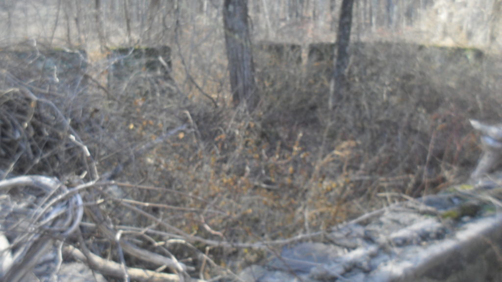
Bray Small Pond was a tiny swampy pond to the east of the Bray Pond. In 1938 and 1939 it was filled in with gravel and a topsoil layer of 6 inches (which had been taken from the Tannery Reservoir).
stop 4 – Entrance Gateway
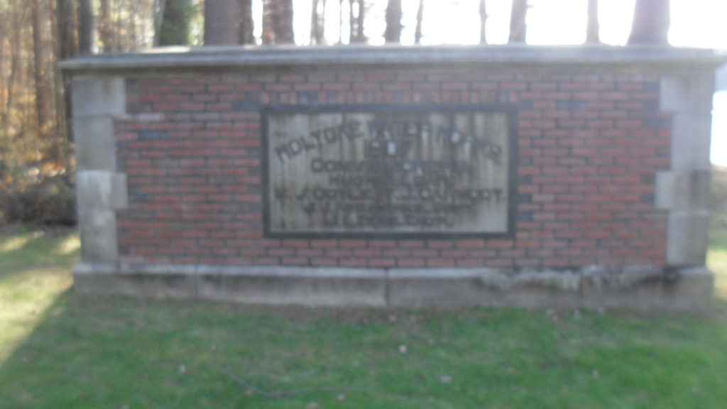
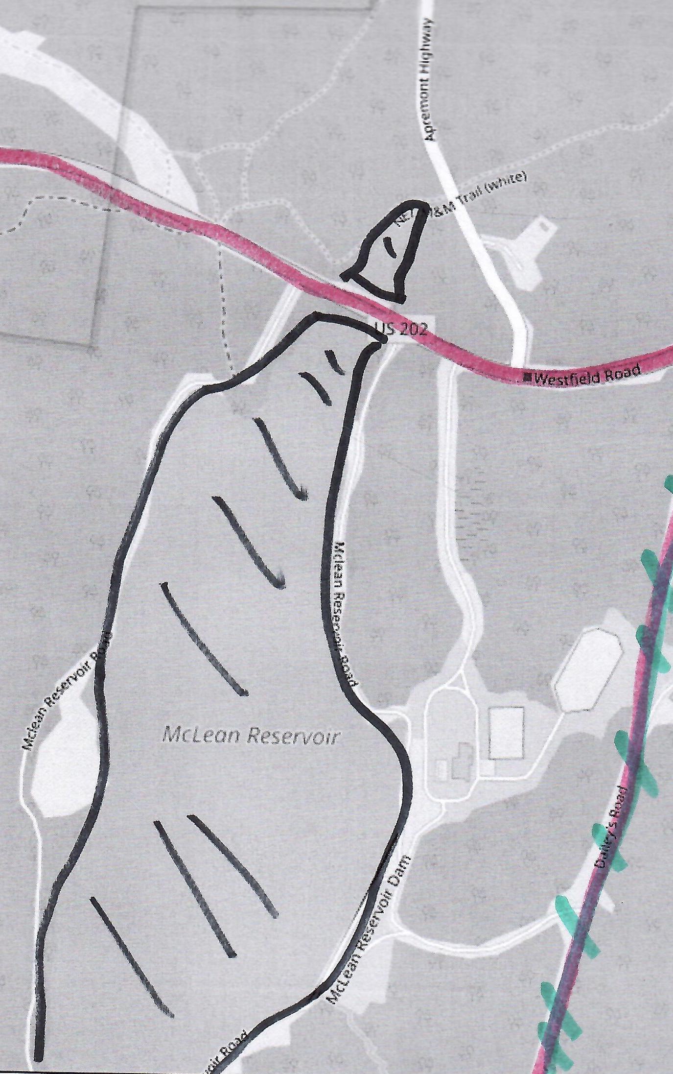
The Ashley Ponds Reservoir system was constructed from its two ponds starting in 1872. This monument in front of you was placed here in 1907 to honor the Holyoke Water Works that made it. (LOCATION) There are three true gates around Ashley Reservoir that block car traffic into the area. State Highway 202 that you see behind you was put in in 1923.
That highway would cut Bray and McLean Reservoirs into two pieces. The top map shows Westfield Road in blue and Rock Valley Road in red. Rock Valley Road was used to get to the northern tip of McLean. The 1923 change in the highway not only cut Bray at its top but also cut McLean at its top. There is a stone wall at this northern tip of McLean. IMAGES

The gateway behind you was put in in the year 1912 in a former apple orchard. Then that year the road from the dirt Westfield Road to the Rock Cut was put in.
The Holyoke Water Works has owned Goodyear Park to the northeast since 1937. They sold it in 1953. It is now a lot of houses.
stop 5 – Wrights Pond and the Rock Cut Water Distribution
The Rock Cut Canal (LOCATION) leads to the water pipe system of Holyoke. Beyond it is the water storage vats. The are over 145 miles of water mains in the city. (Mains are the pipes below the roads and does not include the branches that lead to homes.) Rock Cut Canal was blasted from bedrock in 1872. Nitroglycerin was used since dynamite had not yet been invented. Rock Cut Canal was 940 feet of open canal and 540 feet of closed canal. Rock Cut Canal is 12 feet deep and 8 feet wide. The system was constantly improved through the years.
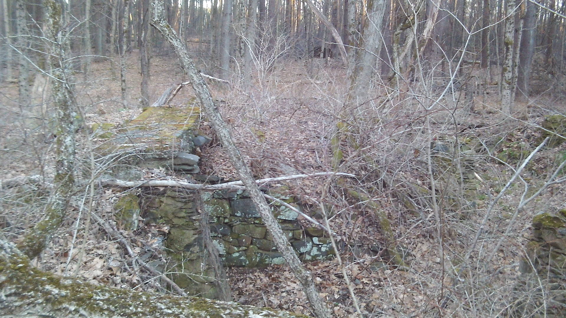
A gatehouse was built in 1873 at the entrance from Wright’s Pond into the Rock Cut Canal. The gatehouse foundation was made of cut stone masonry and some grouted rubble. Also that year a pipeline, dam, and culvert were put into place. The top of the Wright dam was 7 feet above the pond level. The dam was of stone masonry and did have an overflow a few inches below pond level. The pipeline was one 20 inch gate placed into the gatehouse. All was ready on August 6 1873 when the water flowed from the gatehouse into the pipes.
In 1886 a second independent pipeline was added from the reservoirs to the city. This required a second gatehouse (18 by 24 feet base) to be put into place and that was done the next year.
From 1908 to 1912, an arch was placed over the Rock Cut Canal to prevent leaves from falling into it. It was made of concrete with strong side walls. This Rock Cut Arch is 16 feet high and the arch extended for 127 feet. In 1912, the Rock Cut Canal was extended backwards from the arch to the gatehouse in a canal that was 541 feet long, 14 feet wide, and 4 feet deep.
Another gatehouse was located near here and was built in 1907. It would receive water from the High Service Reservoir (McLean) via a pipeline from there.
A reservoir guard lived at a house that was started in 1912 and completed in 1913 to the south side of the modern water tanks that are in front of you. The foundation of that house is still there along with stairs. The next year a brass tablet (29 by 30 inches) was affixed to the old gatehouse at Wrights Pond. The HWW was very proud of itself and the Ashley area.
In 1923, a new 24-inch main pipe were put in place from Rock Cut Gate House to Hitchcock Street. The length was 7,420 feet. This would then connect to the 24-inch main on Maple Street.
In 1931 the West Heights pipeline was extended a mile into bedrock. A pump station was made on Homestead Avenue in a building 17 by 25 feet in the base. This system then used a large Worthington Pump to pump the water higher in elevation. In 1941 the older gatehouse was razed.
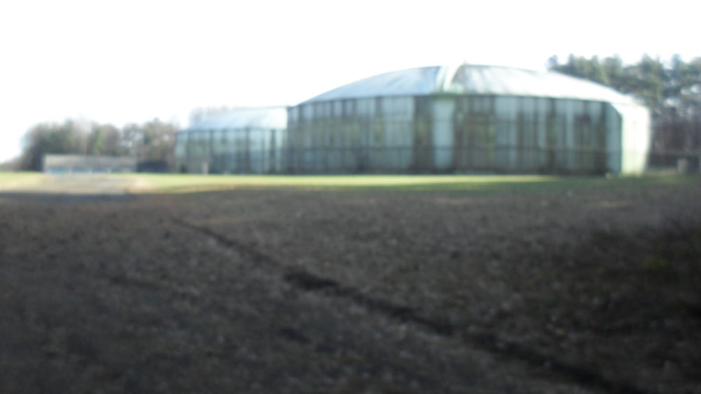
In 1947, the Ashley Ponds Meter and Chlorinating Building was built on Homestead Avenue.
In 1997 along Rock Cut Road two low service tanks of 2 million gallons each were built. In that same year at the treatment plant two tanks each of 3 million gallons were built. (see these at the next stop)
stop 6 – Pump Houses
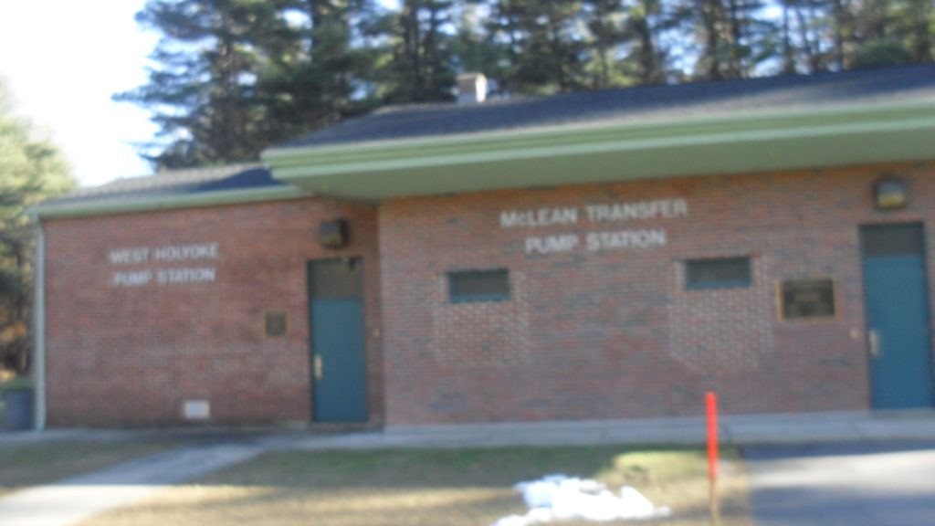
The West Holyoke Pump Station (LOCATION) was built to transfer water from the McLean Reservoir to the West Holyoke Water District. This area includes Jarvis Avenue, Cherry Street, and Homestead Avenue. The McLean Transfer Pump Station was built to transfer water from Ashley Reservoir to McLean Reservoir. The State forced Holyoke to built this in 1994 in order to mix water from Ashley with that of McLean. The water from Ashley was slightly short of being clean enough.
These pump stations are located over the land of the Drew family. When their land was bought, the HWW also obtained their barn and that barn was turned into a storage area. This Drew barn at the foot of Rock Valley Road burned to the ground on November 28 1914.
There has been one murder in the Ashley area through its history. Stephen F Lombard was murdered May 3 1874 near his home. He was born in 1795 in Farmington Maine to Peter and Lucy. His burial location in Holyoke is not know at this time. By trade he was a carpenter. Read the STORY at the link.
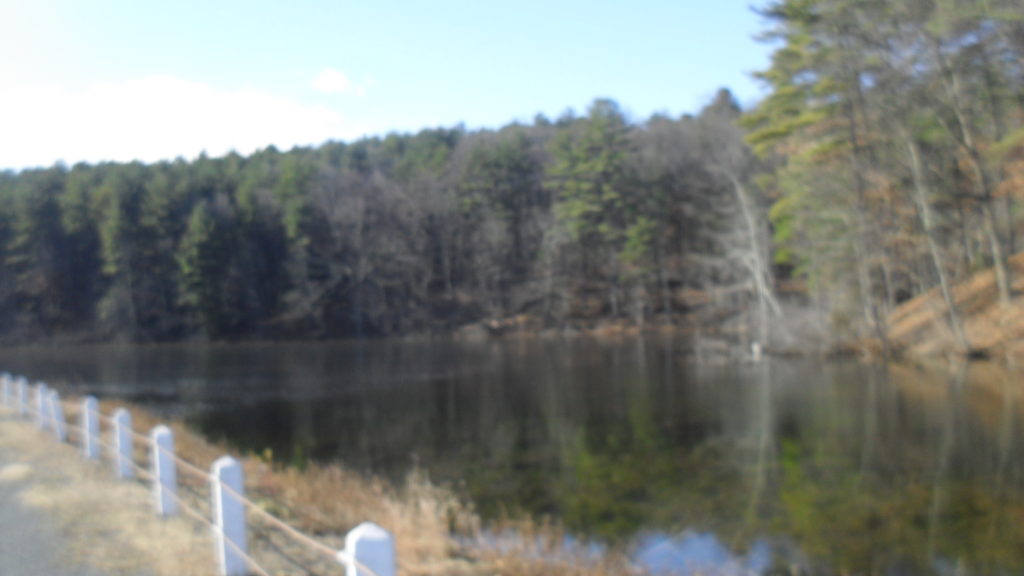
stop 7 – McLean Reservoir
McLean Reservoir has its own page.
McLean Reservoir (LOCATION) was built in 1903 from a high earthen dam. Its source of water is an underground aquifer to its immediate north and Tatro Brook along its side. The original name of this reservoir was the High Service Reservoir. The name was changed to honor the long time service of the water commissioner Hugh McLean. The High Service Water District of Holyoke is the area between Beech to Northampton Streets. It once was the area between Walnut to Northampton Streets. The volume of water in McLean is half that of Ashley. It is much deeper but less surface area.
In 1907 as a check on the pressure of the water from this new reservoir, the pressure in hydrants was checked in various locations in the Highlands. Conclusion is that the pressure was increased by 40 PSI.
In 1914 McLean Reservoir received its own entrance from the Rock Valley Road running to the south until it met the McLean road. Also a iron fence was put in place in 1914 along the entrance road. There was a masonry wall along this entrance that came from Rock Valley Road over to the reservoir. It might still be on both sides but it is hard to find.
Near this stop is also an abandoned home that was once owned by Amos Tatro. It is about 100 yards south of this site and to the east in the brush. [Look for the electrical pole that has the number 1657 as the top number and 57 as its bottom number.] The house foundation is most apparent when the winter has killed the vegetation. Along the walk south, you will first pass the Tatro Brook (that has a watershed of 400 acres) and the Dibble Brook (that has a watershed of 250 acres).
It is a long walk to the next stop so enjoy the scenery. This road that you walk upon is Westfield Road but at times it has also been called Pent Road or Dailey’s Road. It was once the only way from Holyoke to Westfield and hence the name. It has been improved many times.
stop 8 – Old Stage Road
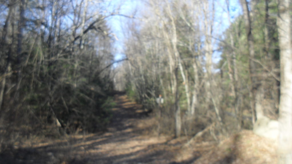
Behind the large boulder along the right edge of the road is an old stage road. (LOCATION) This road still has its original character. It is similar to many such roads that still exist in the Connecticut River Valley. Imagine travelling on such a bumpy road.
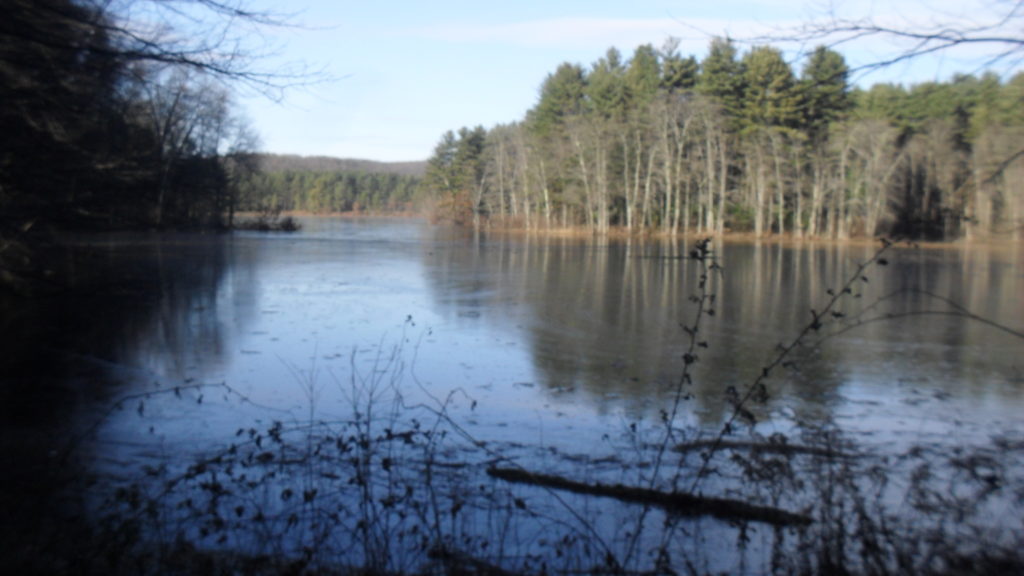
stop 9 – Paucatuck Brook and Ashley Pond
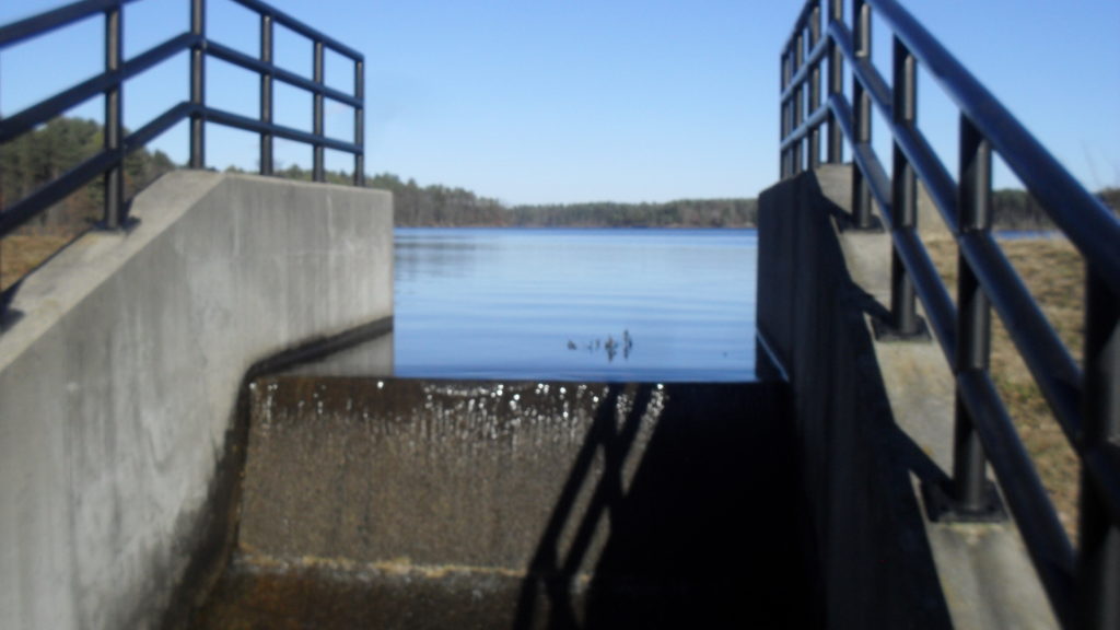
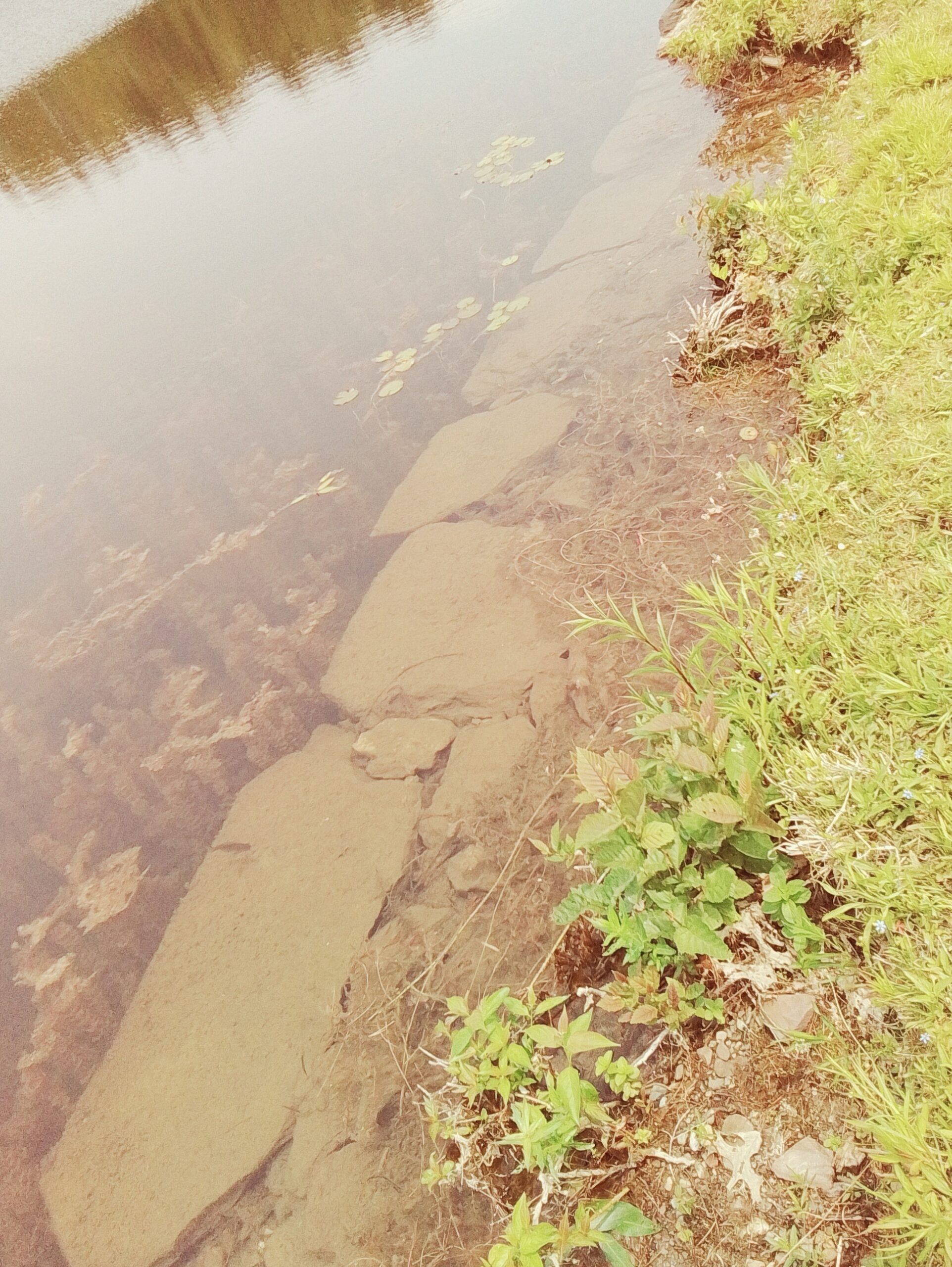
Paucatuck Brook starts out of the southern end of Ashley Pond. (LOCATION) It has two outlets now since you can see that there are two spillways on the earthen dam. This brook meanders 9 miles south of here to enter into the Westfield River. Along the way one mile from here it passes through the Lost Pond and two miles from here it passes through the Bear Hole Reservoir.
Spillway number two was constructed in 1897.
stop 10 – Ashley Dam and Gatehouse
The Ashley Dam (LOCATION) was started in 1875. The composition of the dam is that cement was first put in the base, masonry and concrete is added atop that, and then 2 feet of gravel. As you can see a grass crown and berm is the finishing material. The dam is mostly underground. It is 12 feet high and 640 feet long. In 1883 the dam was raised even more.
If the drinking water of the Ashley Reservoir System flows out at the rock cut canal at the east edge of Wright’s Pond, then why is a gatehouse back here even needed? From 1897 to 1898, the Fomer Reservoir in Southampton was joined via an 10.5 mile long pipeline to this southern point of Ashley Reservoir. This Fomer Pipeline would cost a quarter million dollars. This pipeline passes through East Mountain at the Bush Notch. The average depth of the pipeline is 5 feet and the greatest depth was 18 feet. It enters at the gatehouse here. There is a canal below your feet that helps the water enter Ashley. The dimensions of this terminal canal is 15 feet wide, 43 feet long, and 7 feet deep under the surface. The walls that contain it are 2 feet think and made of stone. That means the height of the canal is 5 feet. In that canal is a weir that slows down the water. The reason that a slow down of the piped water is needed is that the difference in height from the Fomer Intake to the Ashley weir is 114 feet. At such a great pressure the water would shot out into the basin and cause great turbidity. The overall effect is that 4 million gallons per day is added to the Ashley Reservoir (and 1 million gallons per day is added to McLean).
In 1903, three new pipelines were put in:
- a pipe south of Ashley to the gatehouse at Wright
- a double connection pipe with High Service Reservoir (Bray)
- a single connection pipe with Bray (gated so only one pipe could function at a given time)
In 1921 to 1928 another pipeline was added that parallels this one. Still later a third one was added that runs up to McLean from here. The second pipeline was placed into the same rock channel that held the first pipeline. This is since the first dig was 6 feet wide and by intent allowed for another pipeline by the side of the first. This second pipeline was built a few years after the White Reservoir was finished in Westhampton in 1913. This second pipeline adds 4.65 million gallons per day to the reservoir. The cost of the second pipe is $403,321.
These pipelines from Southampton to Holyoke have been changed in configuration a few times. In 1951 the pipelines as it passed by Barnes Air Field had to be lowered by 2 feet. In 1955, when the Massachusetts Turnpike was put in, the pipelines had to be brought to the north a bit. These pipelines also have special features added to them. Blow-offs are added at low points to get rid of pockets of air. Air valves are at the high points to blow off air.
stop 11 – Ice House
Holyoke had its own city-owned railroad from where the Holyoke Heritage State Park is now into Westfield. It was started in 1868 and finished in 1871 with opening day being November 28 1871. In 1902, the railroad tracks were raised by 3 feet for 1700 feet of track due to the annual floodwaters of the ponds. The line is still active and is visible by the southern end of Ashley Pond. When it gets to Bush Notch it passes by the pipeline of Ashley.
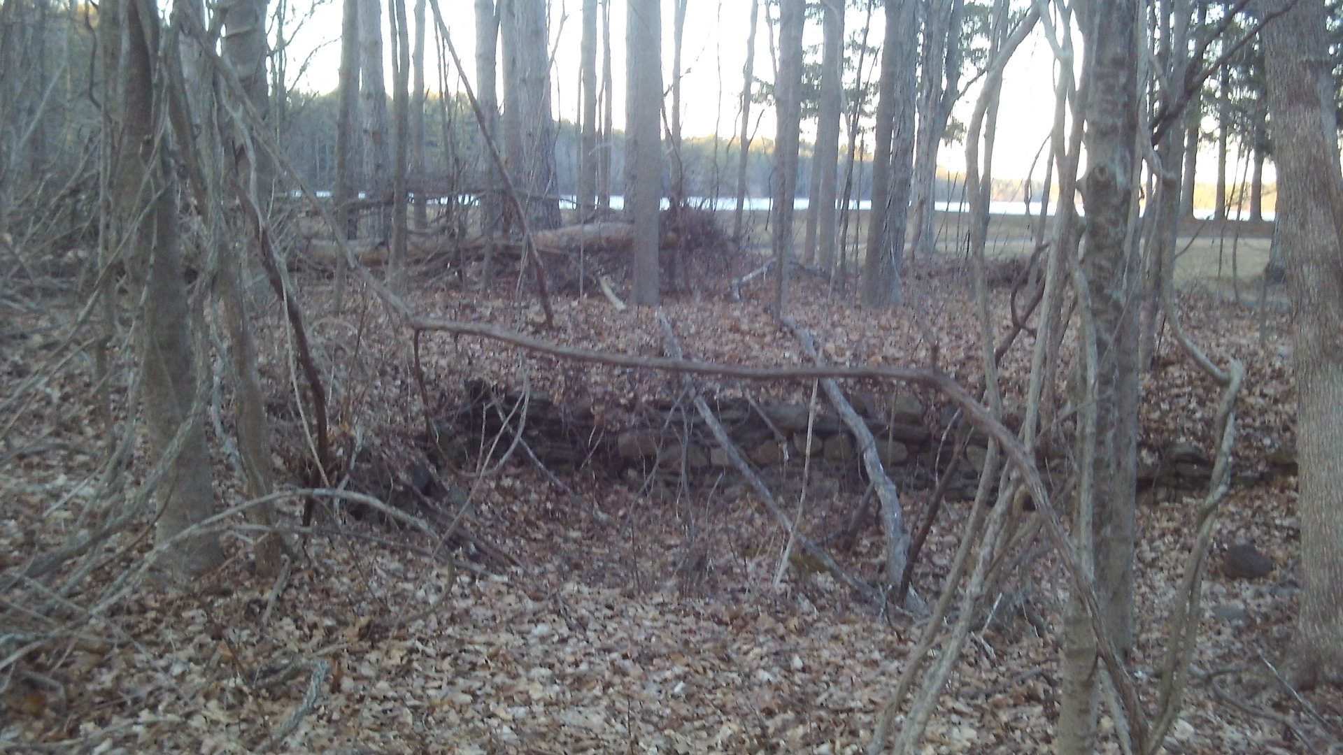
One of the heaviest users of this freight and passenger line was the Holyoke Ice Company. Their ice house is located about 40 yards from the back end of the road. (LOCATION) The masonry section of the building is still there but the wooden roof and floor are long gone. This company harvested ice from Ashley Pond from 1900 to a little after WW2. It had a spike of the railroad come up along its side in order to load ice. Andrew Dibble owned this land from 1870 to 1900. Before that Elisha Perkins owned the house. The cellar hole of his house is found 20 feet to the east of the ice house.
Sanborn 1949 map shows the ice house and a dwelling along with hen houses
stop 11A – Holyoke to Westfield Railroad


stop 12 – Connor Reservoir
Connor Reservoir (LOCATION) is cut off from Ashley Reservoir by Lower Westfield Road (formerly called West Road). It was formed by the raising of the road over many years in the early history of the reservoir system. At first, this was Ashley Swamp. But the road was elevated about one and one half feet. Both Connor Reservoir and North Railroad Reservoir were formed from that event. Connor Reservoir is at your feet and North Railroad Reservoir is now connected to Connor at the far left edge. A raising of the road caused there to be only one reservoir due to a breach in the causeway between them.
The reservoir was raised a few times – 1876, 1879, 1883, 1885, 1893, 1894, 1896 and 1897 were such years. This was in order to get more water. The first increase in height was in 1876 when the shore was raised by 15 inches. Of these the year 1893 was the largest increase in height – Ashley being raised 3 feet.
Another tactic to clean the water was to simply rake it so the organic matter was removed.
These reservoirs of the Ashley area get deep very quickly so there is a bit of a danger. In this area in 1910 the Water Works put up a thousand feet of pipe rail fencing to increase safety. These were maintained through the years – for instance they were painted in 1932 – but they are now gone.
stop 13 – Ashley Cut-Off
The Ashley Cut-Off (LOCATION) and the Wright Cut-Off were formed in 1897 to allow water to carry less sediment. Also the roads were widened the previous year to allow for better vehicle travel and this causeway system allow for a route around the ponds. Water still flows between these bodies of water but at a much slower rate. It had been found previously that the water was too murky.
In 1897 there was finally a buy out of many of the homes. The Bray – Drew – Jacques – Ives – Brown homes were bought.
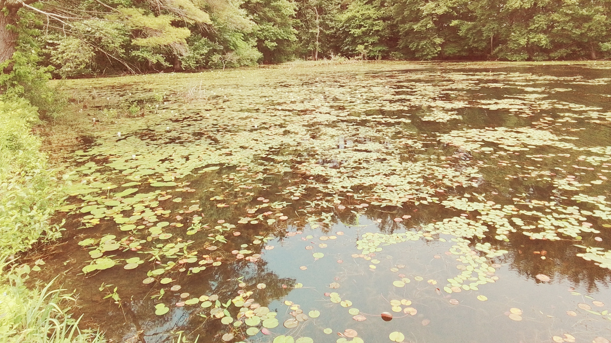
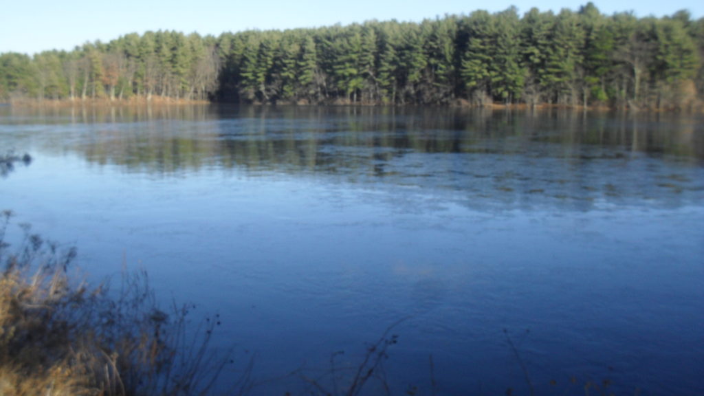
stop 14 – Ashley Pond
Ashley Pond is the largest reservoir in Holyoke. (LOCATION) It is at a height of 317 feet above sea level.

Holyoke Reservoir System after the 1955 Hurricane
Rainfall Amounts at Ashley Pond.
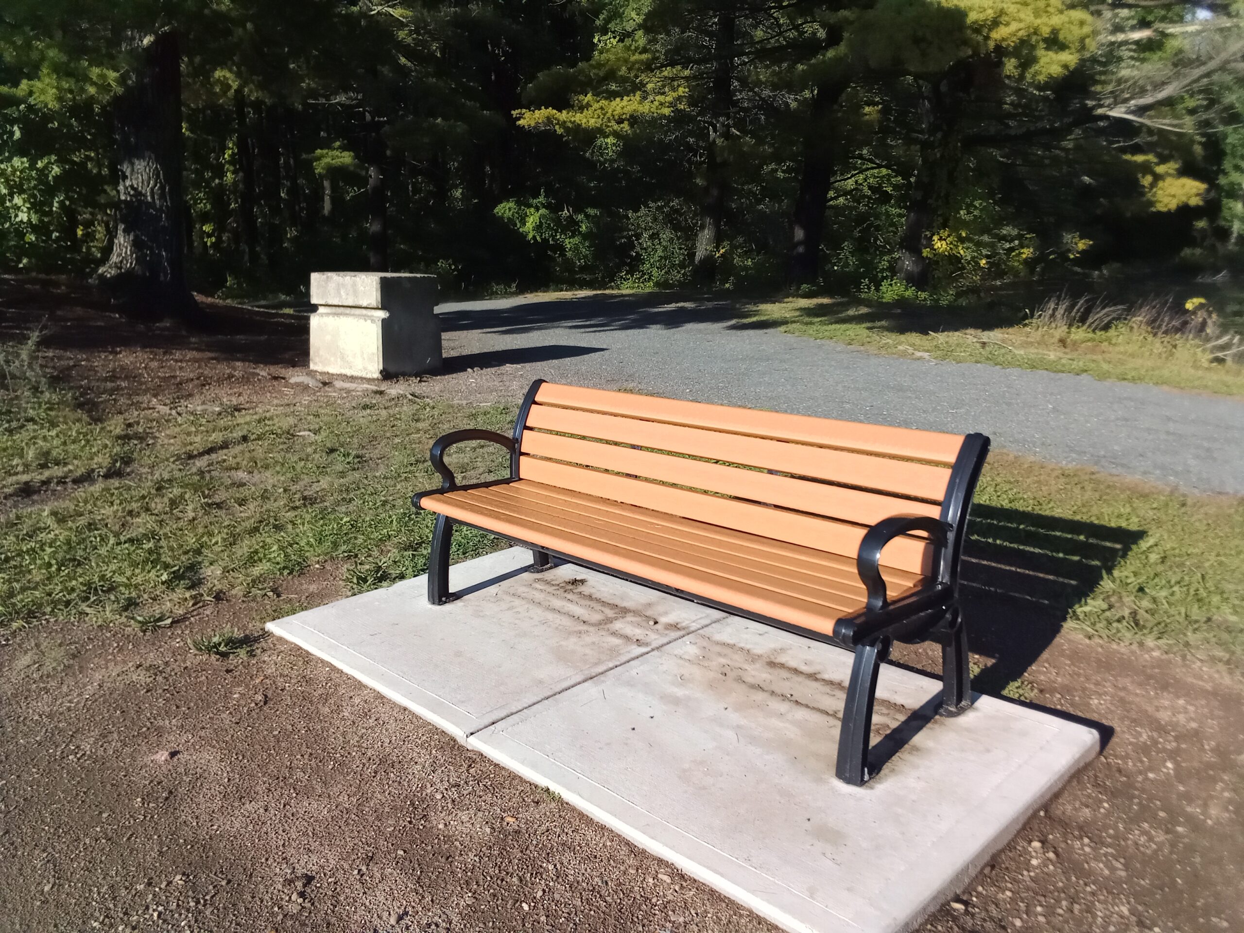
Thank you for taking this tour of the reservoir system. Take a rest on one of the benches around the reservoir and come back some time soon.
Map analysis:
