
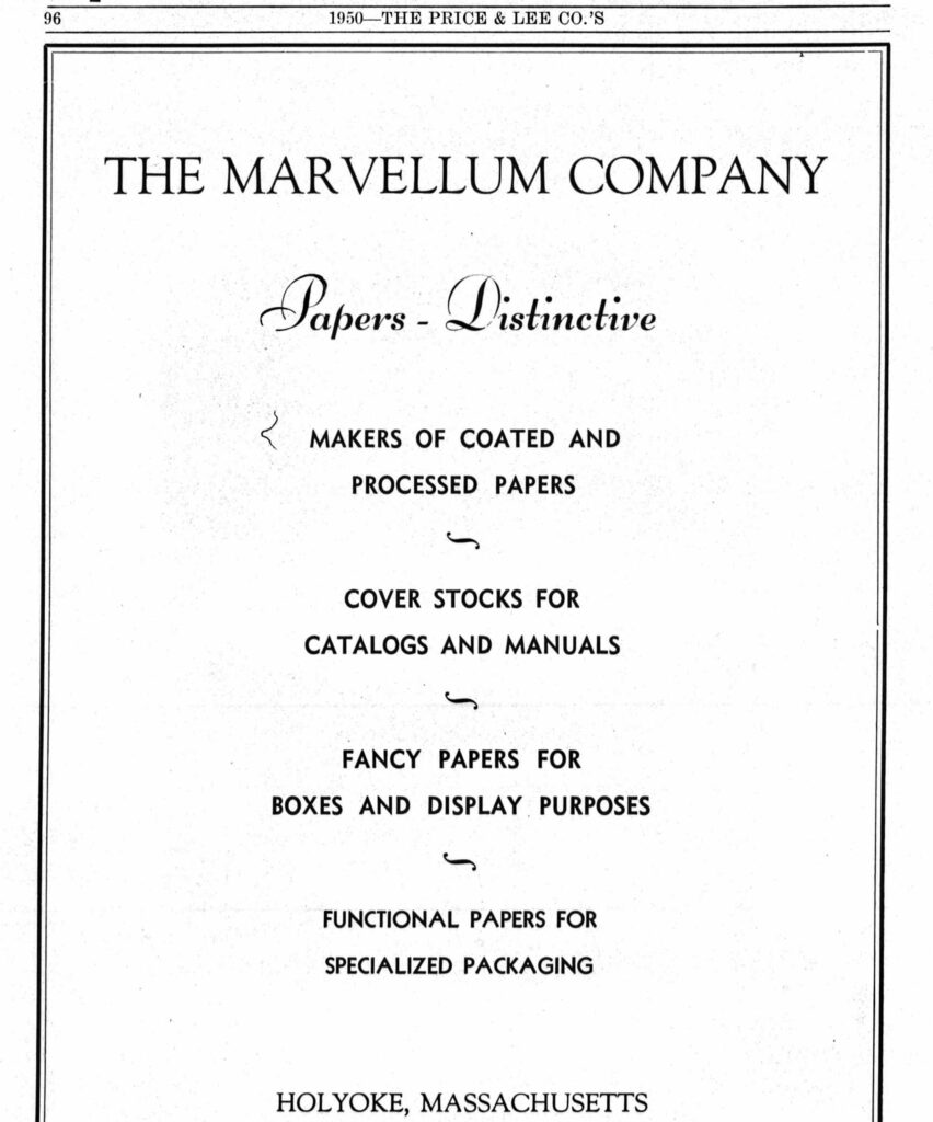
The Marvellum Company were at 141 Race and then 28 Appleton Street. They were incorporated in March 1921.
Sanborn map analysis:
The 390 – 392 High block is from 1900.
By 1930 it had become the Hertzmark Building.
Sanborn map analysis:
Sanborn 1884 map shows an empty city block
The Lyman Block at 358-364 High Street is still there. It was made in 1886 in a commercial style. Starting in 1912 Schermerhorn Fish Market (LINK) is here.
In 1922 Lynch and Smith Jewelers are here.
Sanborn map analysis:
Sanborn 1884 map has nothing
Sanborn 1889 map shows 4 floors
Sanborn 1895 map shows 4 floors
Sanborn 1915 map shows 4 floors
Sanborn 1949 map shows 4 floors
Sanborn 1956 map shows 4 floors
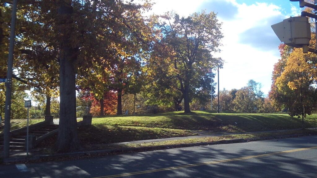

Maple Street is a very interesting street in Holyoke. It has Veteran Park and the Central Fire Station and more. Park at Pulaski Park at the northernmost end of Maple Street.
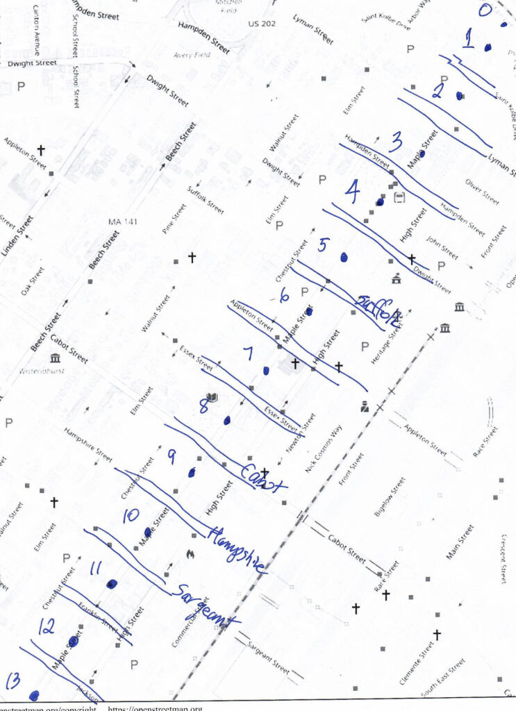
block 0 – Connecticut River to Pulaski Park
Read about Pulaski Park HERE
Read about the Holyoke Canal gatehouse HERE
block 1 – Pulaski Park to Saint Kolbe Drive
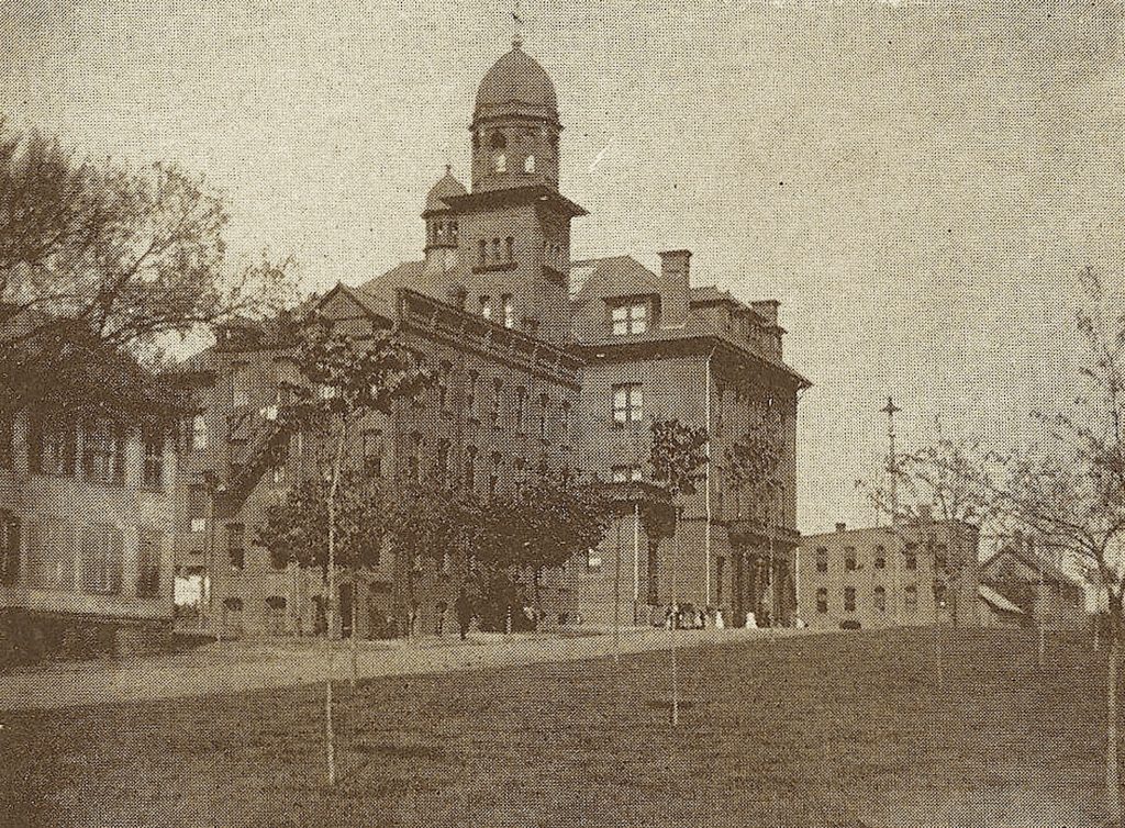
Read about the Our Lady of Perpetual Help Church campus HERE
Read about the Mater Dolorosa campus HERE
block 2 – Fr Kolbe to Lyman
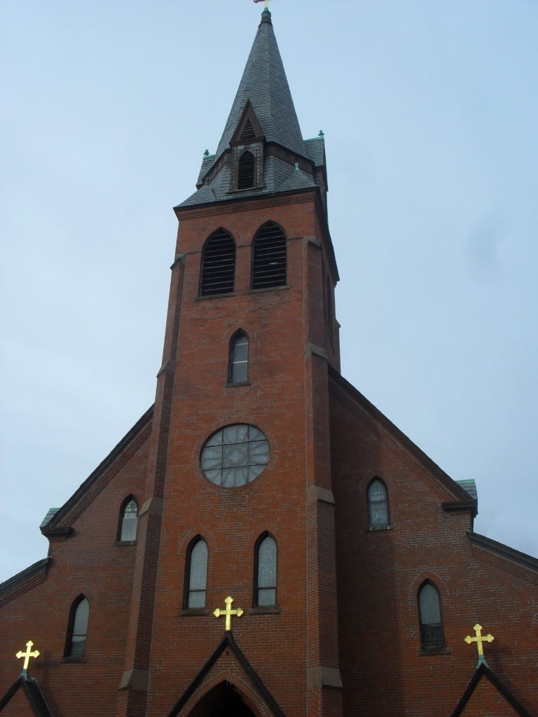
The church was on this city block. Read about the Mater Dolorosa campus HERE
Kosciuszko Park in Holyoke – LINK
block 3 – Lyman to Hampden
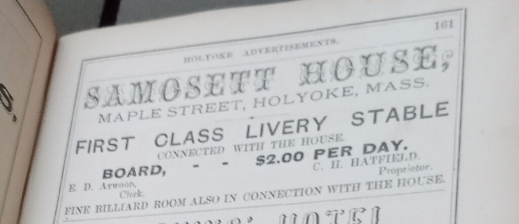
Samosett House – The Samosett was opened on April 8 1850 or so. It was a hotel in the beginning and had 50 rooms. The parapeted cornice is quite unique.
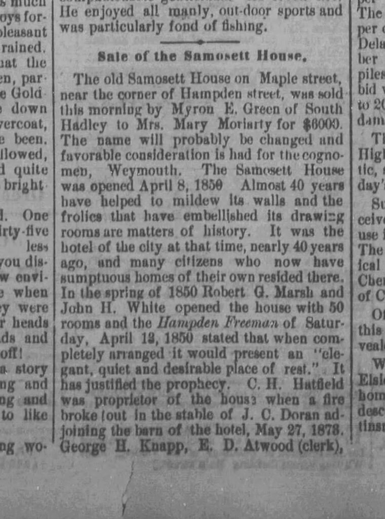
28 Aug 1888
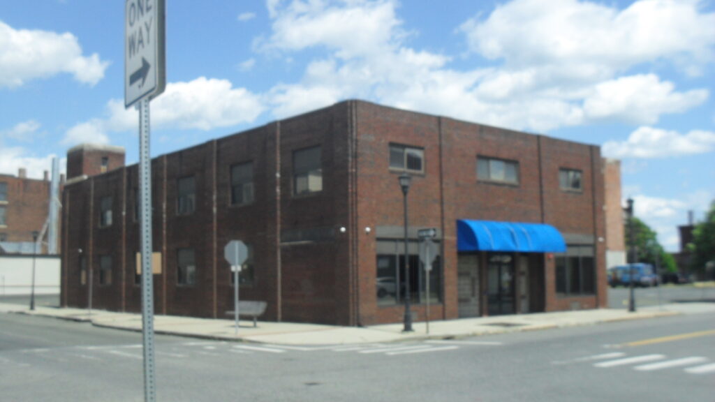
block 4 – Hampden to Dwight
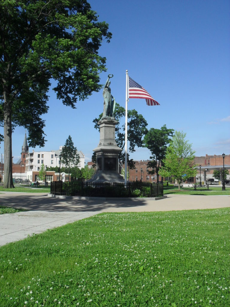
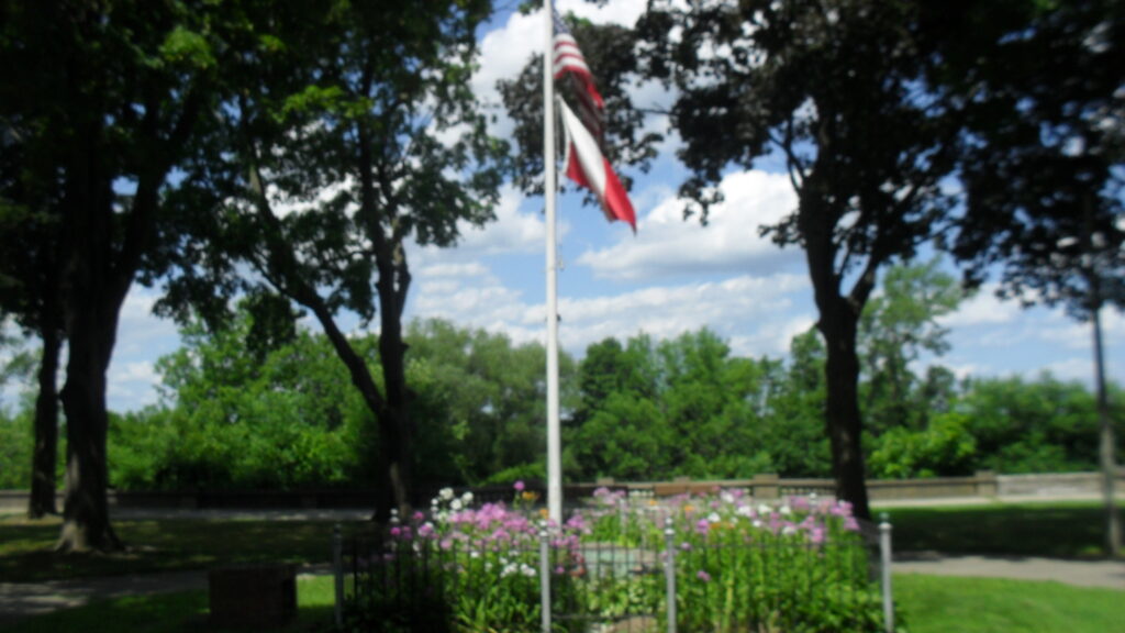
Read about the Veterans’ Park area HERE
Read about the St Jerome’s Church and campus HERE
block 5 – Dwight to Suffolk
This city block has the McAuslan Wakelin Building. Read about it HERE
At the Phoenix there was in 1915 Clark Florist. The Phoenix is on Dwight but also on Maple Street.
Also the St Jerome Temperance Hall. Read HERE
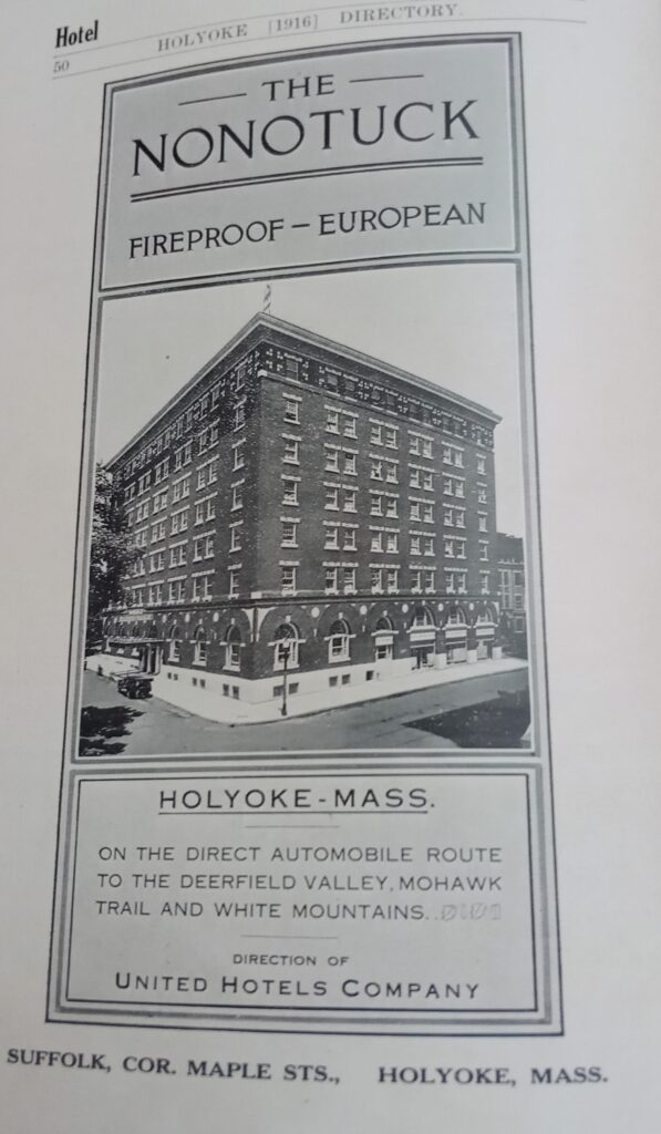
The side of the Holyoke House later called the Roger Smith Hotel is here. It was also called the Nonotuck.
The John Tilley block is at the NE corner of Maple and Suffolk.

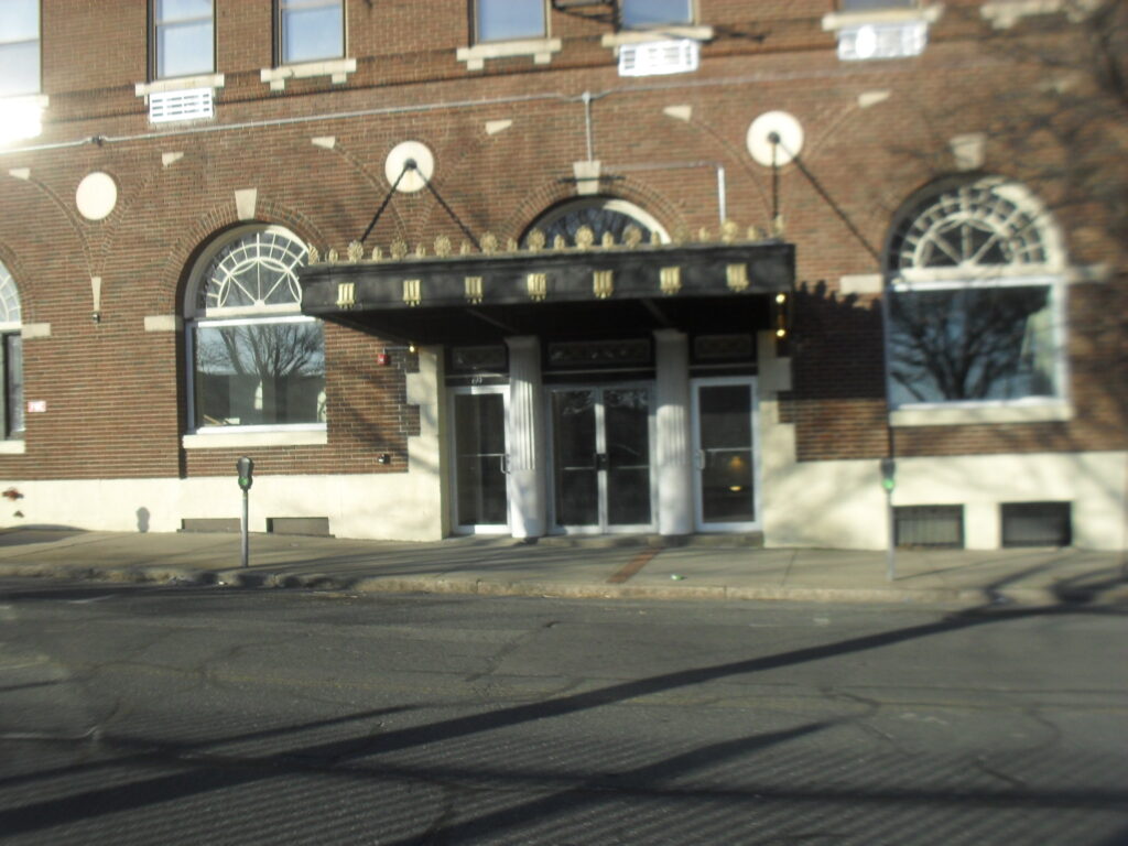
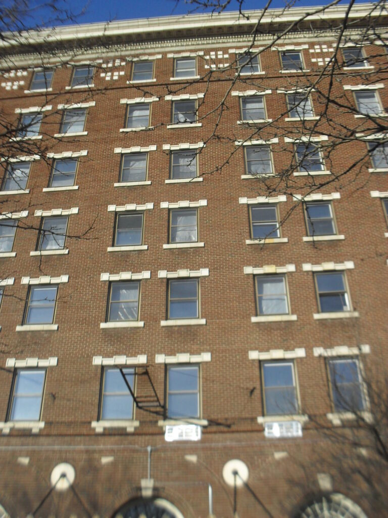
block 6 – Suffolk to Appleton
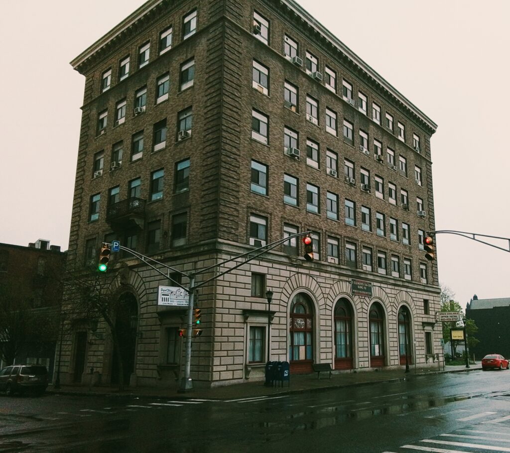
Read about the Strand Theater HERE
block 7 – Appleton to Essex
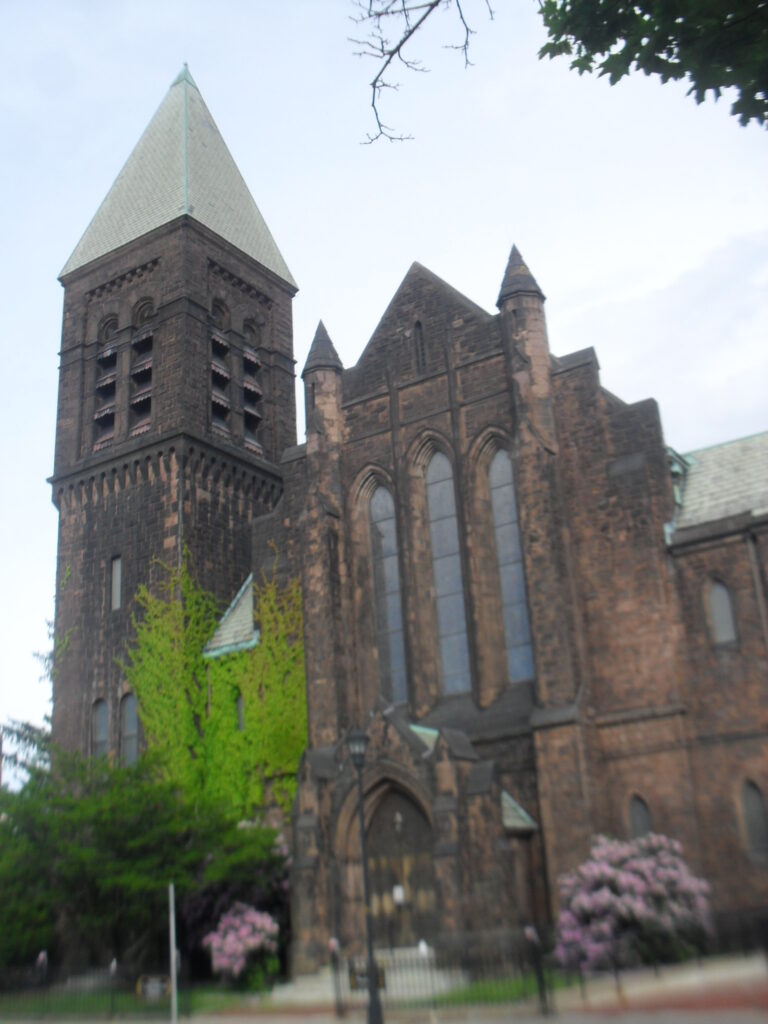
Read about the Congregational Church HERE

block 8 – Essex to Cabot
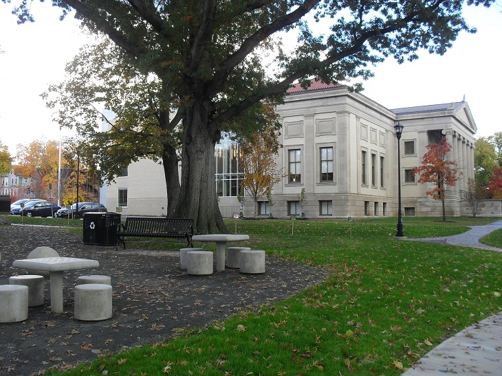
Read about the Maplewood Hotel HERE at stop 5
Read about the Holyoke Library HERE
block 9 – Cabot to Hampshire
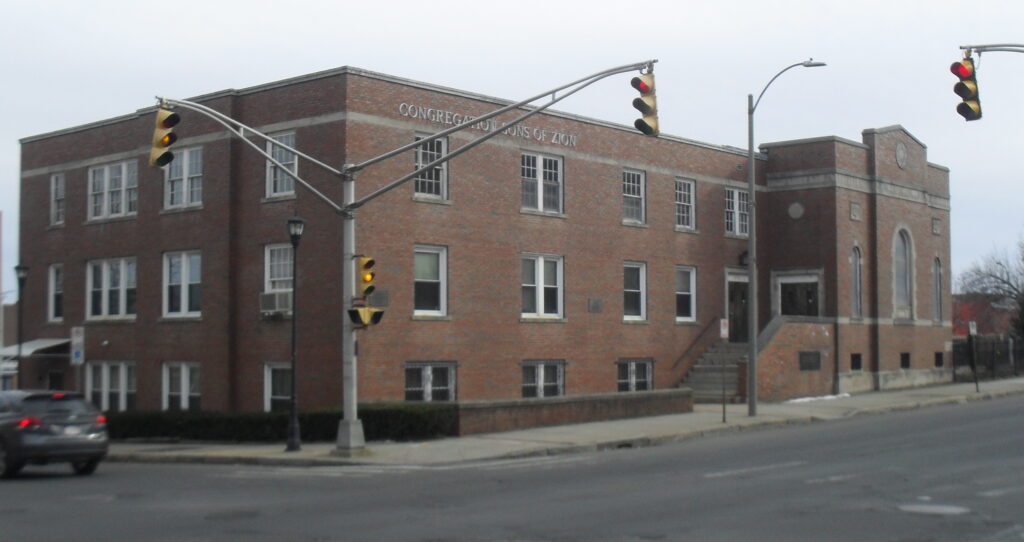
Read about the Sons of Zion HERE
Read about the Lawrence School HERE

The Maple Street Playground was formed in about 1910. A 1911 scene is shown in the image just above. This park was located at the location now occupied by the Lawrence School.
block 10 – Hampshire to Sargeant
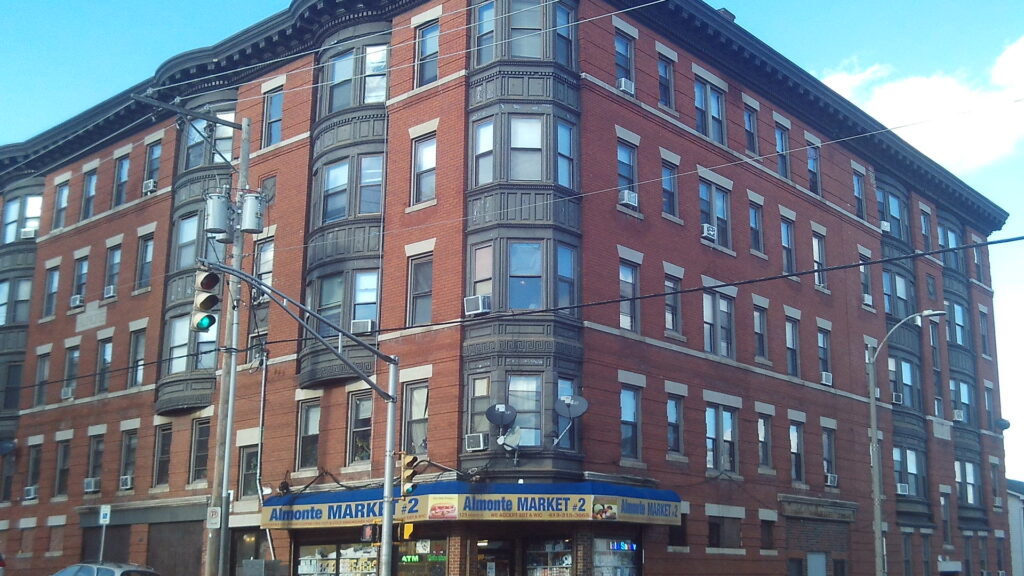
There are many tenement houses on this block. Housing went up very fast as the mills started to succeed in Holyoke. The Armand at 413 Maple Street and 129 Sargeant Street is from 1907.
block 11 – Sargeant to Franklin
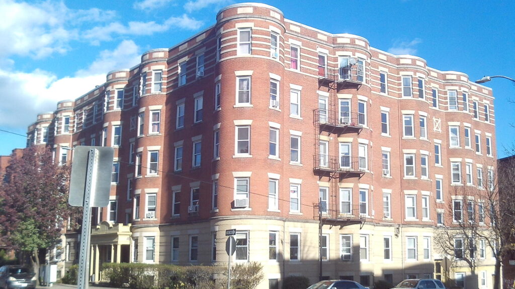
The Richmond at 462-464 Maple Street is from 1910. It was designed by the famous Holyoke architect George Alderman.
Sacred Heart Church and Campus HERE
block 12 – Franklin to Jackson
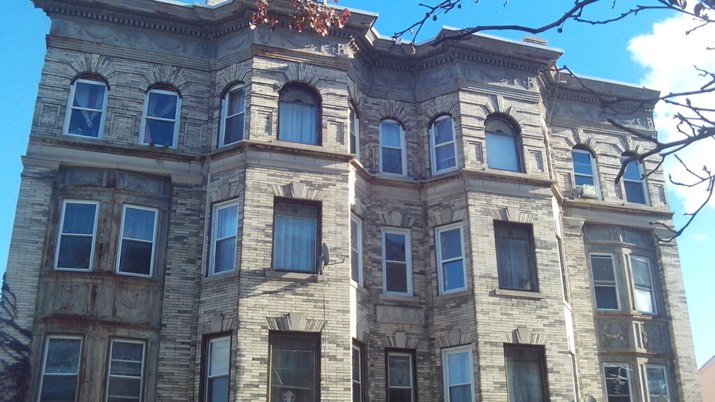
The Alba block at 470 Maple Street is from 1911.
The Falcetti Towers is one of the many low income housing sites around Holyoke. Behind it and to its south is a plot of land that will be used for low income housing.
block 13 – Jackson to South Street

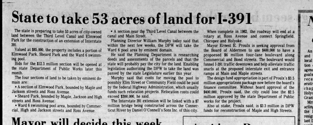
Sheard Park is part of the Elmwood Park – read HERE at stop 3
| Sanborn map | 1884 | 1889 | 1895 | 1915 | 1949 | 1956 |
| park to Fr Kolbe | map | map | map | map | map | map A B |
| Fr Kolbe to Lyman | map | map | map | map | map | map A B |
| Lyman to Hampden | map | map | map | map | map | map A B |
| Hampden to Dwight | map | map | map | map | map | map A B |
| Dwight to Suffolk | map | map | map | map | map | map A B |
| Suffolk to Appleton | map | map | map | map | map | map A B |
| Appleton to Essex | map | map | map | map | map | map A B |
| Essex to Cabot | map | map | map | map | map | map A B |
| Cabot to Hampshire | map | map | map | map | map | map A B |
| Hampshire to Sargeant | map | map | map | map | map | map |
| Sargeant to Franklin | map | map | map | map | map | map |
| Franklin to Jackson | map | map | map | map | map | map |
| Jackson to South | map | map | map | map | map | map |
The Curran Building at 288-290 High Street is in the Renaissance Revival style.
In 1940 it is being called the Dunbar Block.
Sanborn map analysis:
Sanborn 1884 map shows an empty lot
Sanborn 1915 map shows a hall on both the third and the fourth floors
Sanborn 1949 map shows those same halls
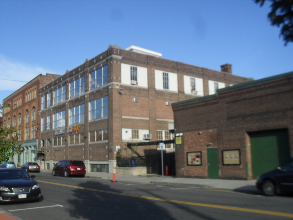
The Judd Paper (Gateway City Arts) is at 92 to 96 Race Street. The John K Judd founded Judd Paper in 1883 in Holyoke. At first they were on Main Street but in 1890 they moved to Race Street. John Judd continue as president until his death in 1929. (FINDAGRAVE) A massive fire destroyed the Judd on March 4 1921. They rebuilt quickly. The company still exist to this date – see LINK.
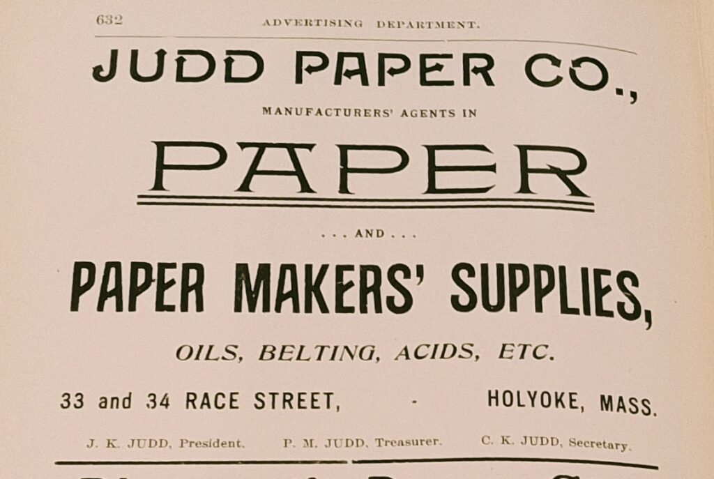
Judd was one of the many paper distributors around Holyoke. LIST
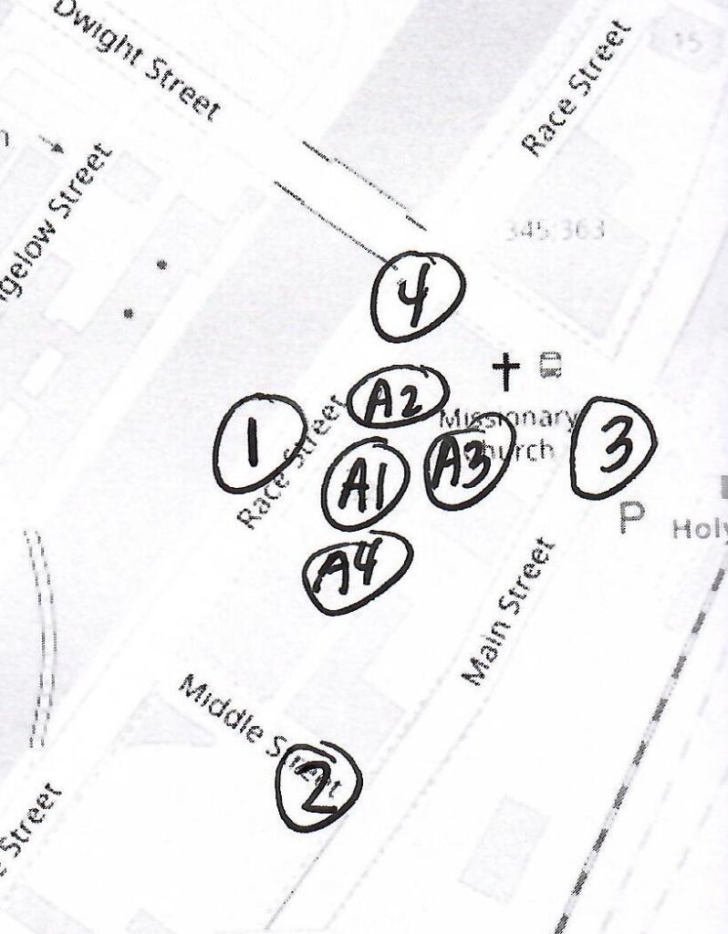
Outdoor Stop 1 – Canal Walk
Read about the Canal Walk area. Also read about the Lyman Mills and area. One additional building to point out is the Cubit. It houses the HCC Culinary Arts Institute in tandem with MGM. On the top two floors is the Cubit Lofts. On the lowest level is the Cubit Co-Works Space.
Outdoor Stop 2 – Main Street
In 1915 the Armour Co. was in front and the Burnham Ware House behind the railroad cut. At the corner of Middle and Main was the Burnham Grist Mill with its corner also cut off. Cyrus Burnham ran the mills.
At 77 Main Street was the Hotel Lawler.
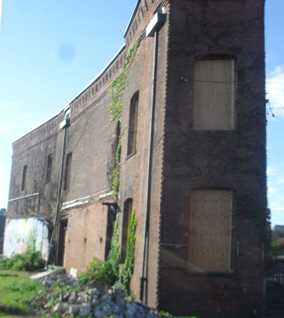
In 1949, The Holyoke Valve and Hydrant Company might have faced onto Main Street but it had a train that crossed into it northwest corner.
A new addition to the area is a NetZero home.
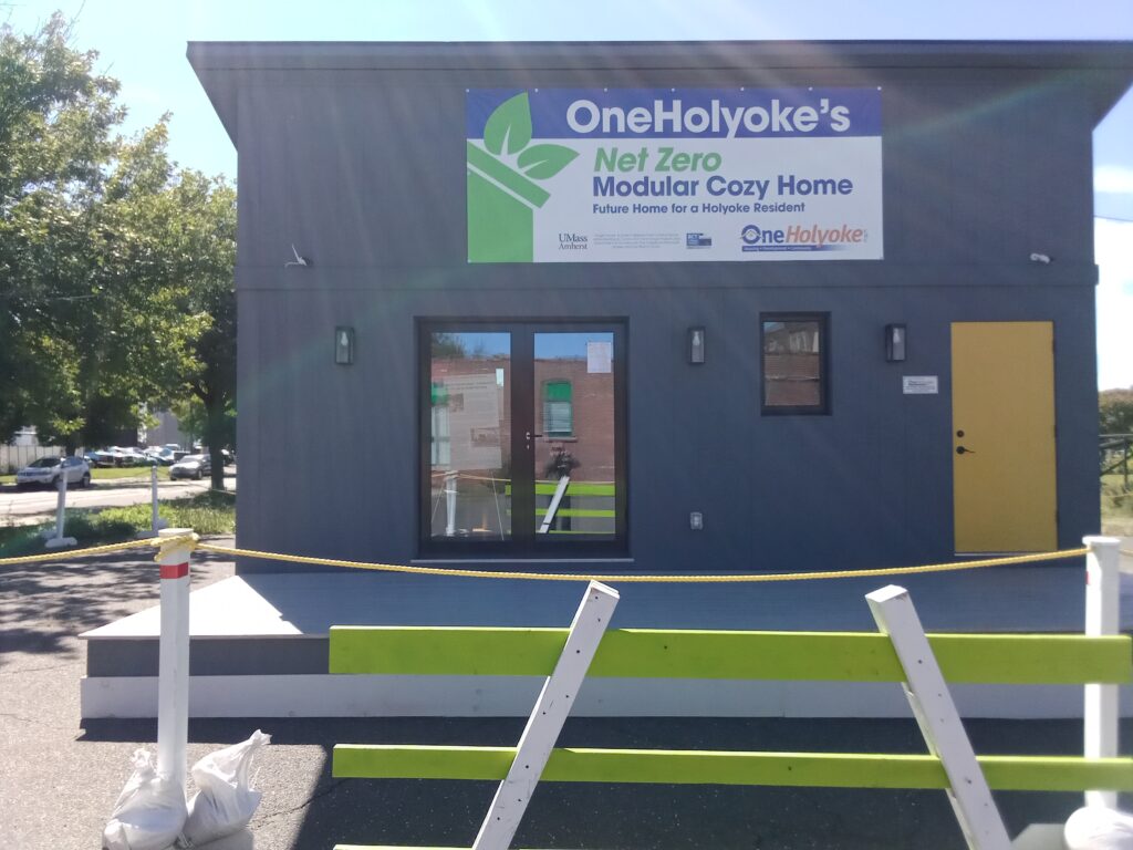
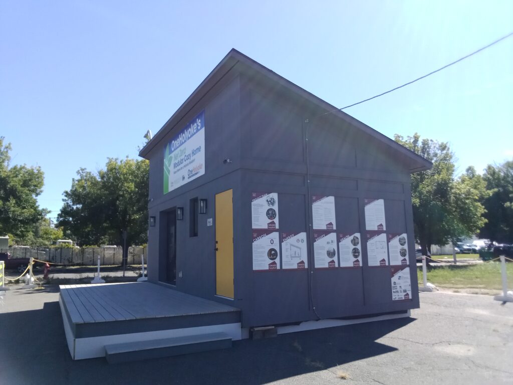
Outdoor Stop 3 – Depot Square
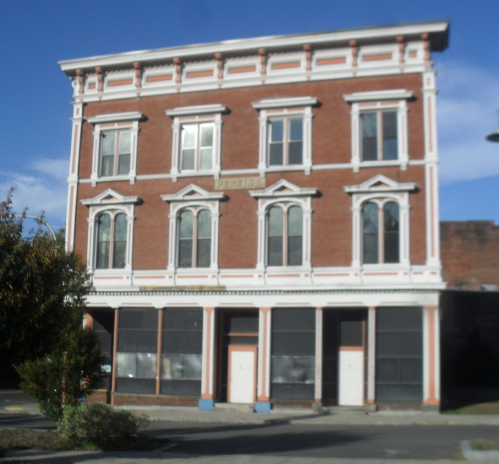
Here you break the area into quadrants. To the northeast corner is the Hotel Jess also called the Perkins Block. This is a former hotel that is now going to be housing. The Hotel Jess is named after James Jess of Holyoke who was the owner from about 1900 to 1940s at least. His nephew William Jess ran the place and lived there for all those decades. James Jess lived at 41 Fairfield Avenue in Holyoke so he must have made a load of many on his ventures. The original owner was Levi Perkins who ran it as a store until his death in 1895. Levi Perkins is the nephew of Justin Perkins the Holyoke minister that went to Iran and then was buried in Rock Valley Cemetery.
This Levi Perkins called the building the Perkins Block and hence the name on the entablature.
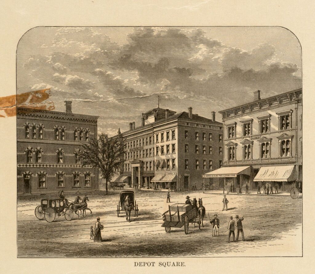
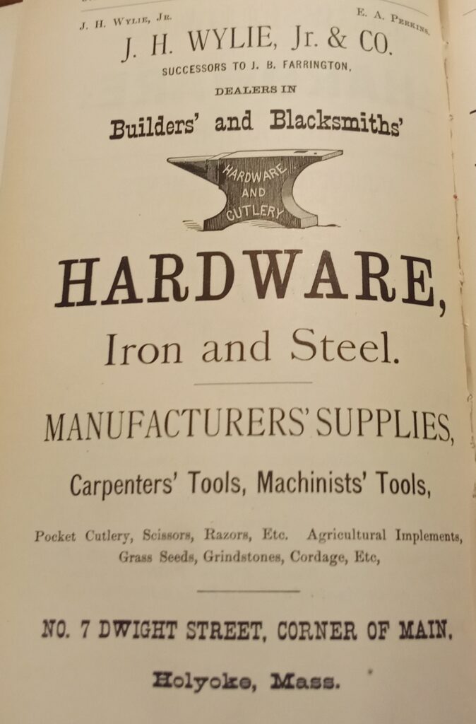
Touching the Jess to its left was a Wylie Hardware at 7 Dwight Street.
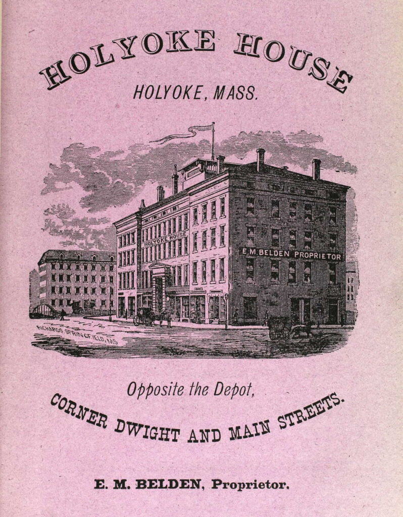
To the northwest is the Holyoke House (Hamilton Hotel) that was a hotel that also housed the Holyoke Post Office and some stores.
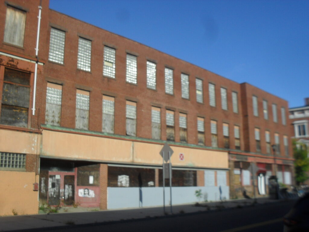
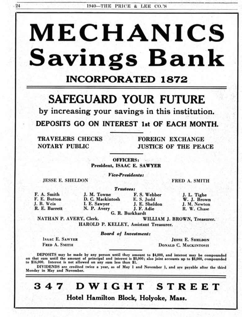
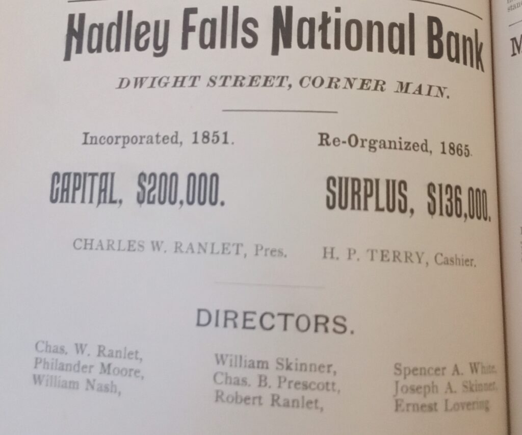
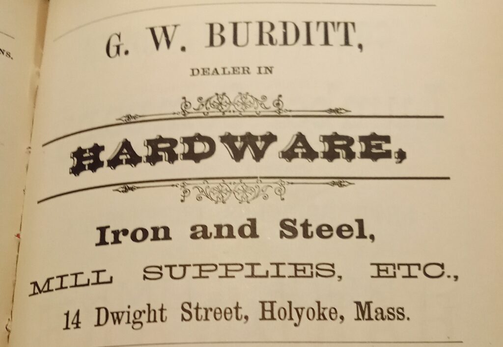
To the southwest is small retail buildings. First at the corner was the Hadley Falls National Bank. Then was the Burditt Hardware.
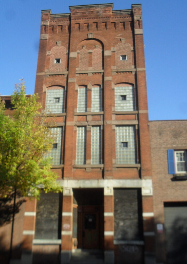
To the southeast is the passenger and freight train stations. Over the tracks was a footbridge that was put in place in 1893 to connect Dwight and East Dwight Streets.
Sanborn map analysis of the Depot Square area:
Sanborn 1884 map where Parsons Hall is on the 3rd floor and the Holyoke House has ground floor stores such as boots jewelry hats bank toys millinery and more – post office in the back section of ground floor
Sanborn 1895 map A and map B which has a note on the Carter Livery that it will be replaced by a large brick block
Sanborn 1915 map in 1913 the post office moved in back of the hotel – map B finally identifies the Hotel Jess
Outdoor Stop 4 – Sears Block
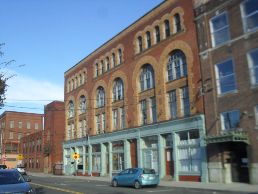
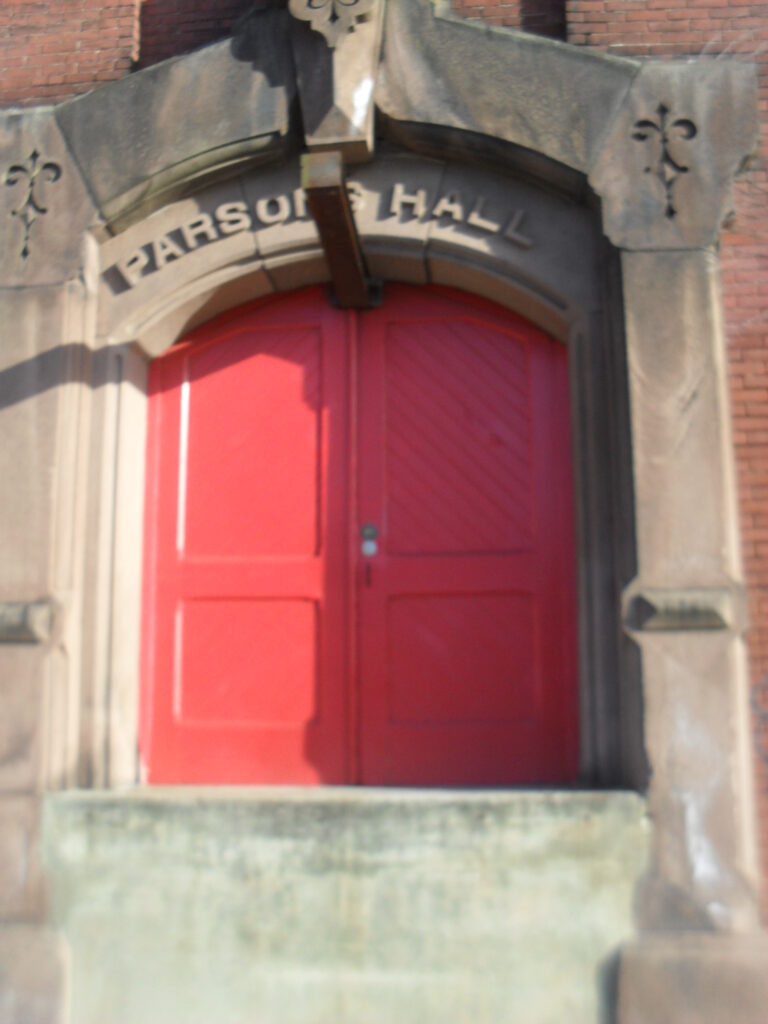
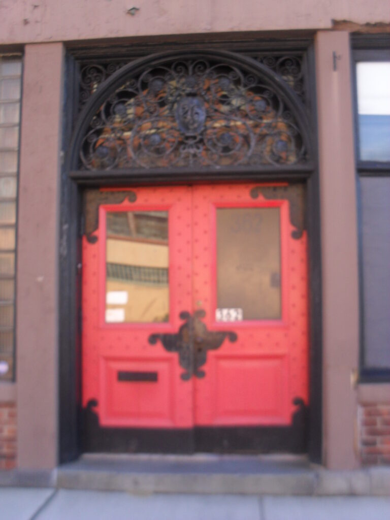
Parsons Hall is there with its bright red door. It was used as a town hall before 1874.
Indoor Stop 1 – Bistro / Famous Cafe
Indoor Stop 2 – Judd’s
Indoor Stop 3 – Devine Theater
Indoor Stop 4 – music hall
Sanborn map analysis of Judd Paper:
American Tissue Mills
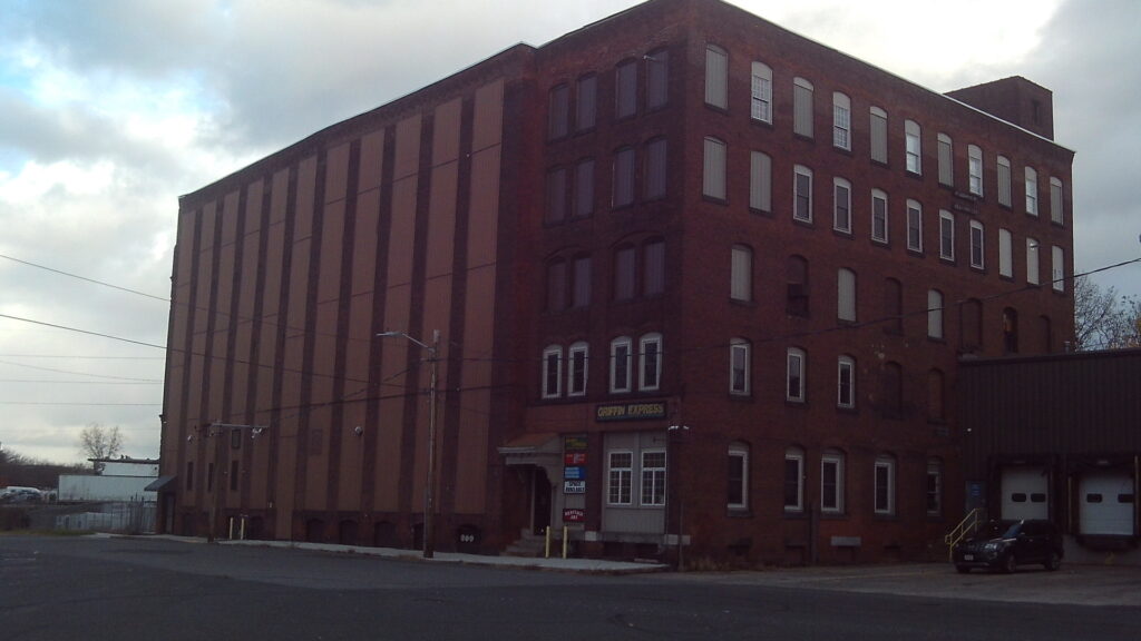
The Japanese Tissue Mills were on Crescent Street in Holyoke. They were the makers of crepe and tissue paper. One of their products was called the Crystal Crepe Decorating Paper.
Benjamin Franklin Perkins (1826-1900) and John Lewis Perkins (1865-1928) started the Japanese Tissue mills around Massachusetts. Those two also started the B F Perkins Mills. The Perkins firm was in Holyoke from 1873. The Japanese Tissue Mill started in 1899 and lasted under that name until 1920. The name was then changed to American Tissue Mills.
Earlier on this location on Crescent Street was were the Smith Wilson and Sears Paper Company was. (1895) They built three of the five original segments of the mill. Perkins expanded it to five and later added a somewhat joined double building. Even earlier than that the Merrick Lumber Yard had one of its many buildings here.
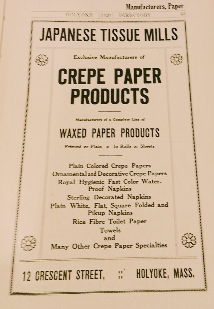
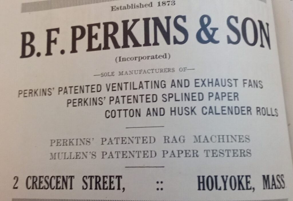

The American Tissue Mills in Holyoke ads.
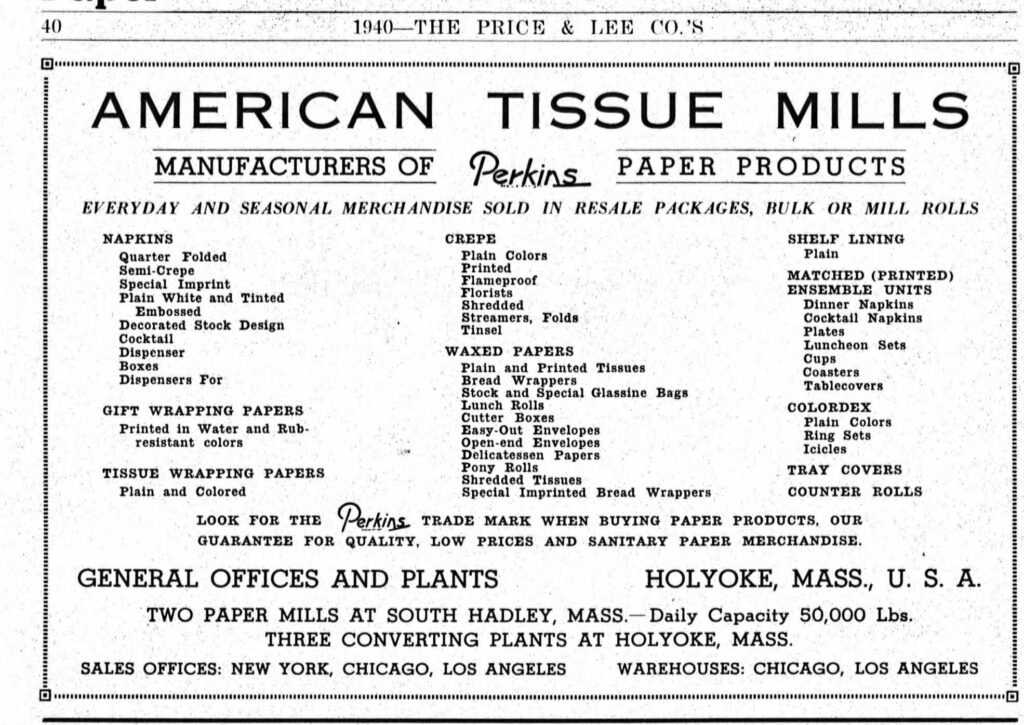
The company would disband in 1953.
Across Crescent Street is the Holyoke Warehouse and Machinery Company.
Sanborn map analysis:
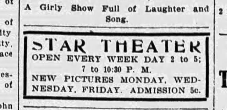

The Star Theater at 147 High Street is a former Nickelodeon Era theater that lasted from September 17 1908 to 1918. It was in the Craft’s Building on its ground floor. For a short time it was at 344 High Street. It was owned by Theater Eastern Amusement.
Sanborn map analysis:
Sanborn 1915 map shows the “Picture Show” note and they entered from 145 and 147.