Sacred Heart Roman Catholic Church

1896

1911

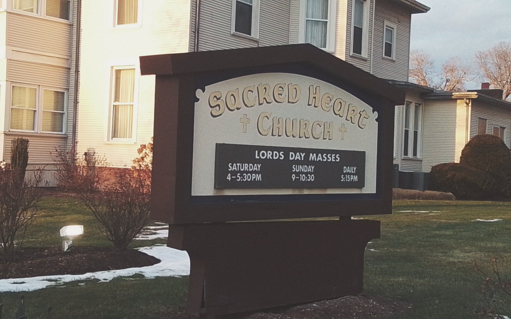
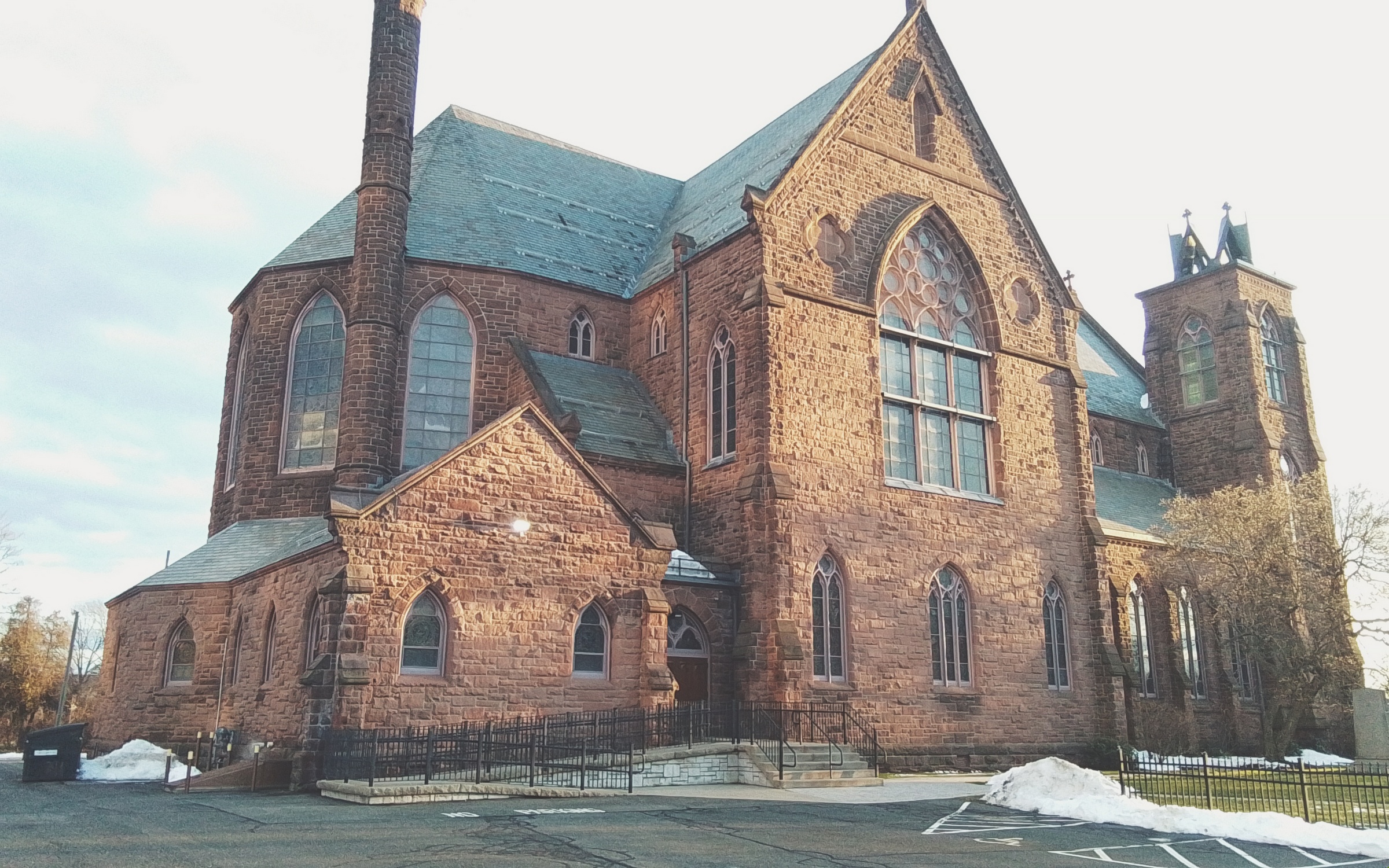
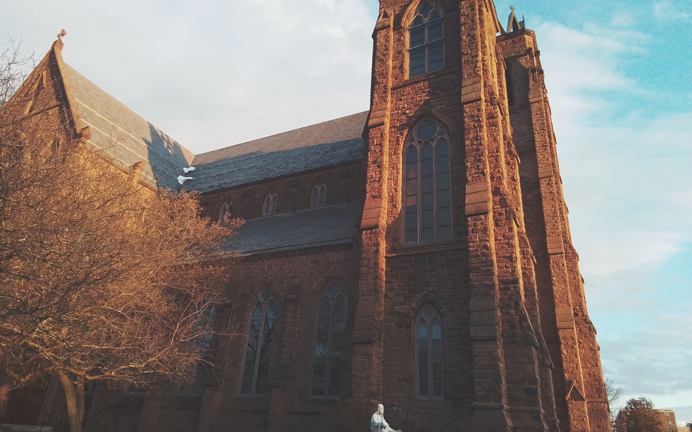
Sacred Heart Roman Catholic Church is a neo-Gothic church on Chestnut Street in Springfield. This is in the Liberty Heights neighborhood of the city. Its campus included a rectory, churchyard, convent, and school. PARISH LINK

Church

The original Sacred Heart Church was done June 14 1874. James J McDermott was the founder of this wonderful church. James had been ordained August 11 1866. The first mass was in 1874 at the Chapel of the Sacred Heart which was on Everett Street.

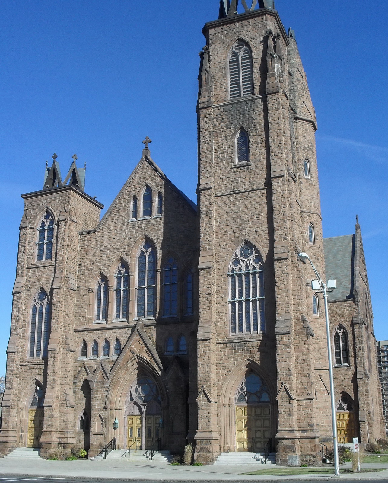
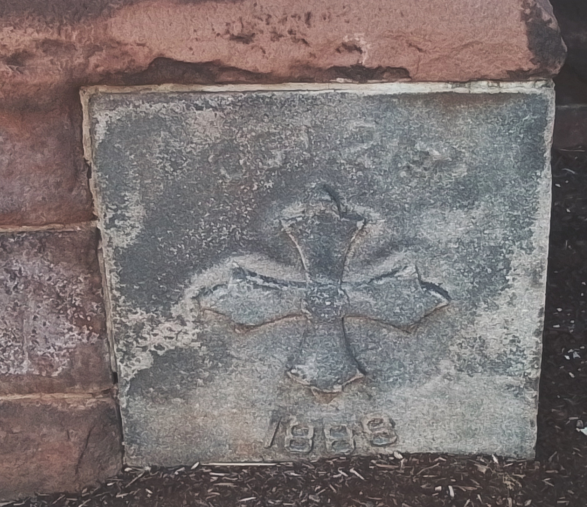
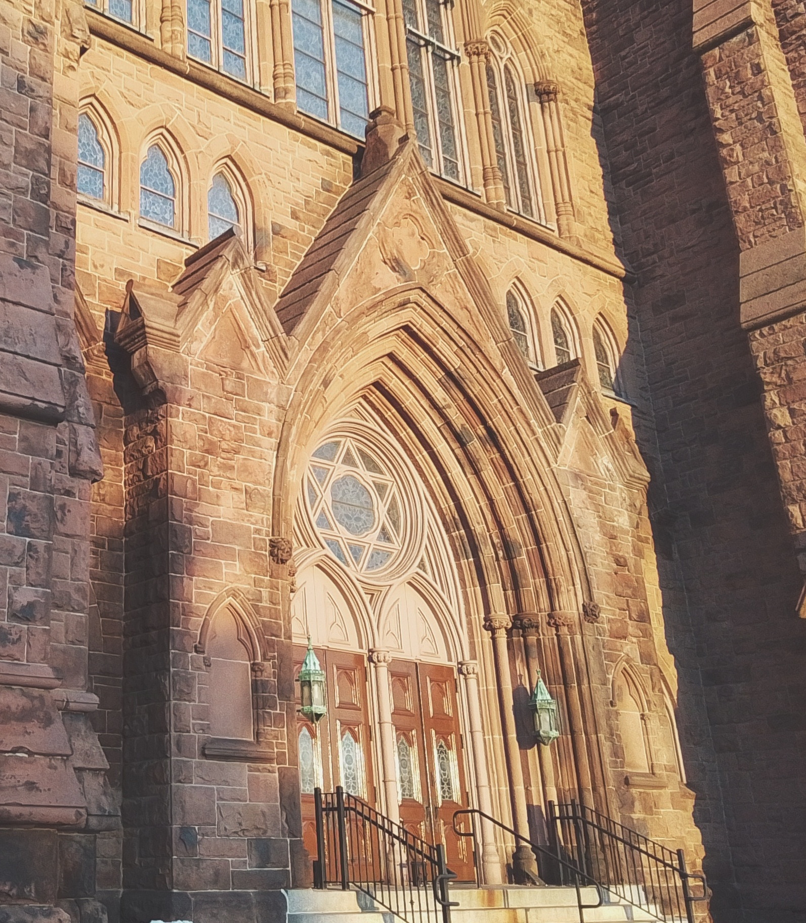
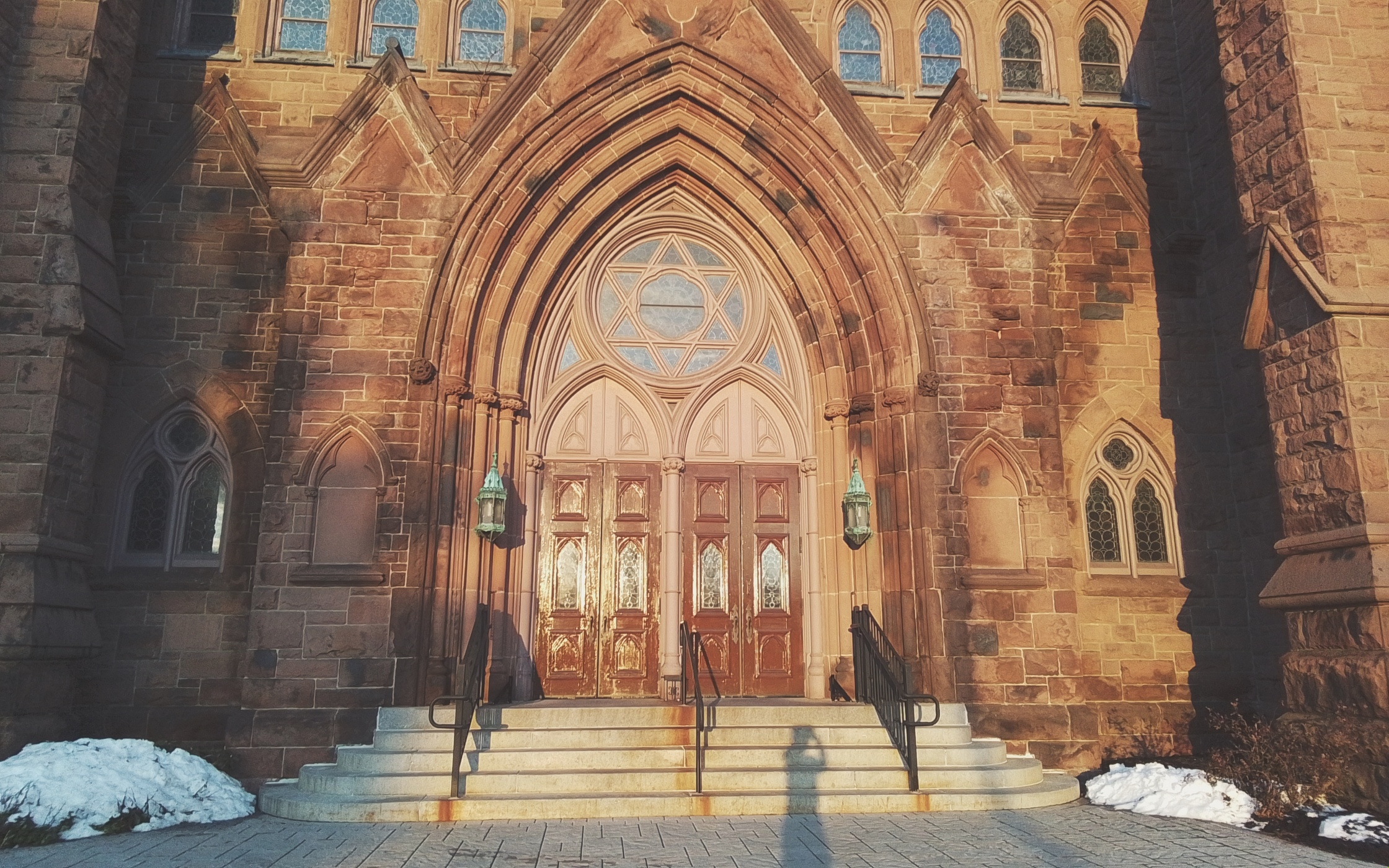
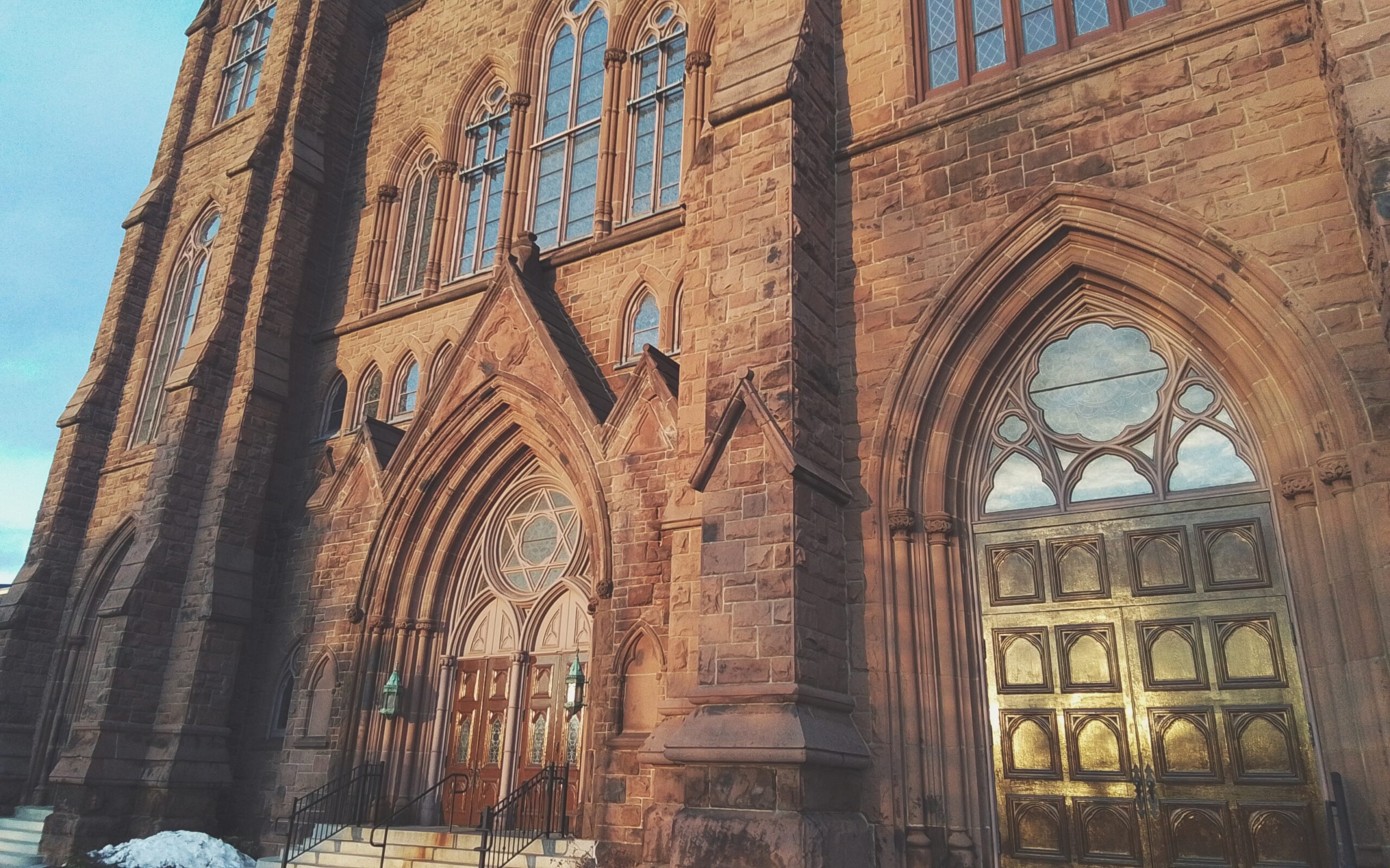
Sacred Heart Church that you see here now was started in October 21 1888 (cornerstone lain) and finished in 1896. The plans were made by James Murphy. It was consecrated on October 18 1896. The church is made of Longmeadow Sandstone. The church has 27 stained glass window that were made in Munich Germany. The metallic turrets were added in 1998. The organ is a Steere and Turner make from 1874. It was made for the Sacred Heart Chapel Church in that year. In 1896 they moved it from the chapel to the church. Steere and Turner is a Springfield based company.

External LINK to the history of the church campus.
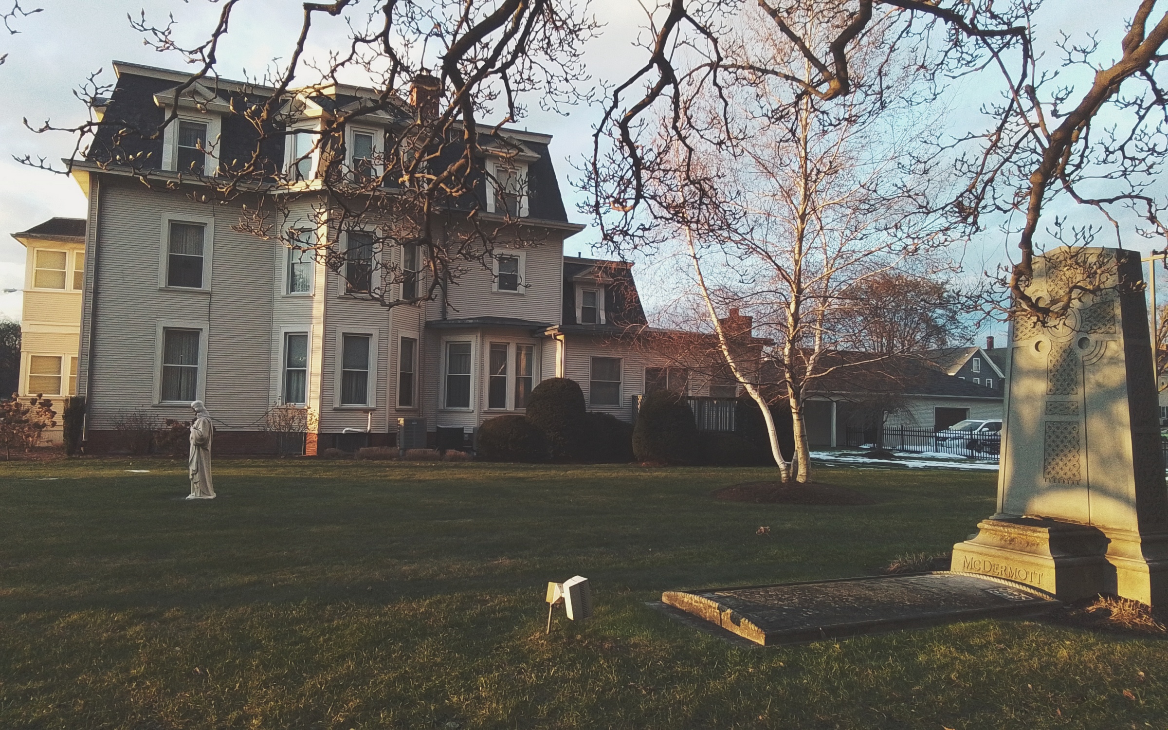
Richards map 1894

Churchyard

Sacred Heart Churchyard

Father McDermott was buried alongside the church in 1891 – FINDAGRAVE. He had gone to Paris France to deal with tuberculosis but died there. The memorial gravestone is a John Donohue design. FINDAGRAVE

Sacerdos in Eternum

Ave in pace Sacerdos Rari exempli Fide Fortis Spe Laetus Caritate Fervens Tui Immemor de Aliis Sollicitus Mitis et Constans Rectus et Prudens

[Hail in Peace, Priest, Rare Example of Faith, Strong in Hope, Joyful in Charity, Fervent in Thyself, Unmindful of Others, Concerned, Gentle and Constant, Upright and Prudent.]
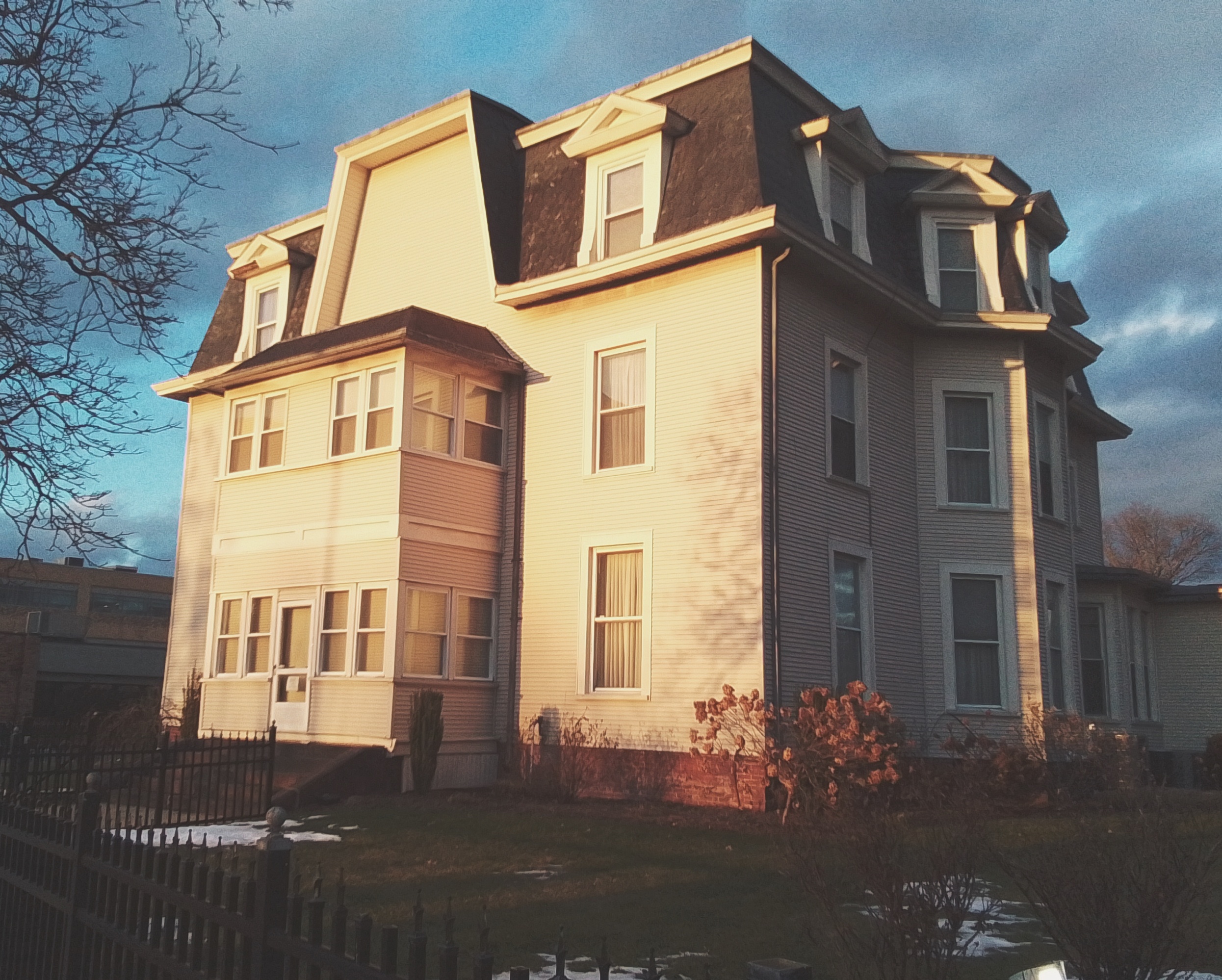
Convent

From 1877 the nuns would occupy the former rectory. In 1882 a convent was built. The nuns were from the order of the Notre Dame. There was a garden in the back of the convent during the early 1900s. It had a garden house called a summer house.

The newest convent is from 1953. The nuns have a chapel of their own. Nowadays the Monsignor Farland Center is here. This is an education center.

School

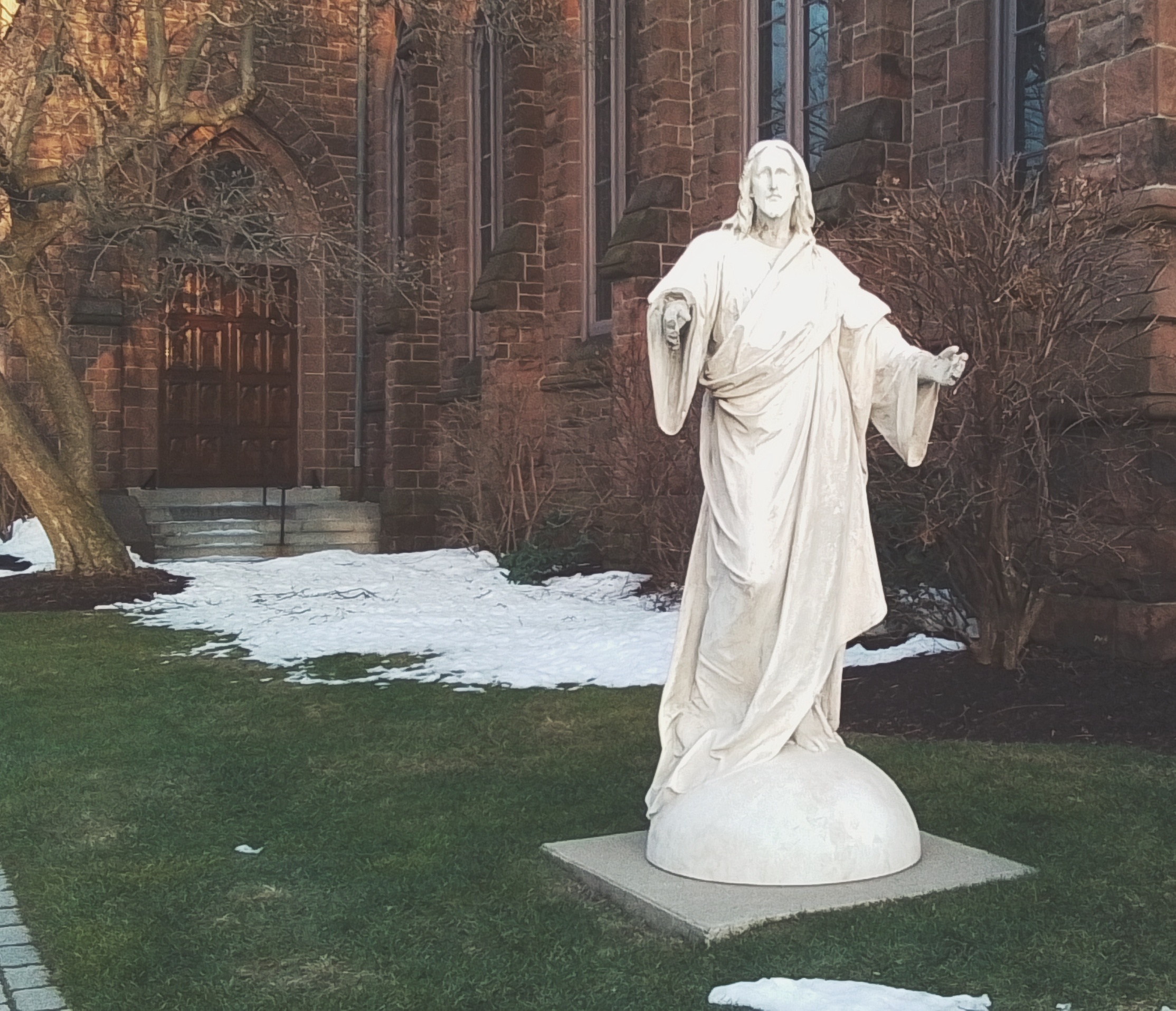
The school was at 27 Everett Street and was ready in August of 1877. In the beginning it was called the Convent School of Notre Dame. The church would be for a while on the ground floor and the school on the second floor. The third floor was a social hall. The cellar was for fraternal groups. The school was served by the Sisters of Notre Dame de Namur who also served the girls’ schools in Chicopee and Holyoke. They only served girls. In 1881 a high school system started. Boys were allowed into the elementary school only by 1908 but then that system was changed in 1925 since there was no room for them. After the 1970s the boys were allowed back into the school. When the school was razed, the statue that was in the front hallway of the school plus its corner stone and cross were saved.

In 1925 a new school was erected on the back side of the old school. The new school was a John Donohue design. It would be both a high and an elementary school.

In September of 1970 Sacred Heart High School joined with the Notre Dame High School of Chicopee in a joint school. They took on the name of Notre Dame but stayed in Springfield at this location. The high school school closed for good by 1976. The elementary school lasted much longer only closing in 2002.

POSTCARD look at the church and the back of the school.

YEARBOOKS

The Republican
Tue, Jun 10, 1924 ·Page 13

Rectory

In 1872 the house that would become the rectory was built and occupied by a Luther Fisk. After the death of McDermott, Reverend Thomas Smythe took over. The first rectory was at 35 Everett Street and McDermott lived there from 1874 to 1877.

namestartsendsburial
James J McDermott18741891in churchyard
Thomas Smythe18911927
John F Griffin19271930Burial
Daniel H McDermott19301946Burial
John D Sullivan19461967Burial

Neighborhood

Two streets over on Carew Street in 1896 the Sisters of Providence started the Mercy Hospital.

Missions

Our Lady of Hope Parish LINK was organized in 1906 as a mission church of Sacred Heart.

All Souls Church LINK was another mission church of Sacred Heart. It was on Plainfield Street and started in 1907.
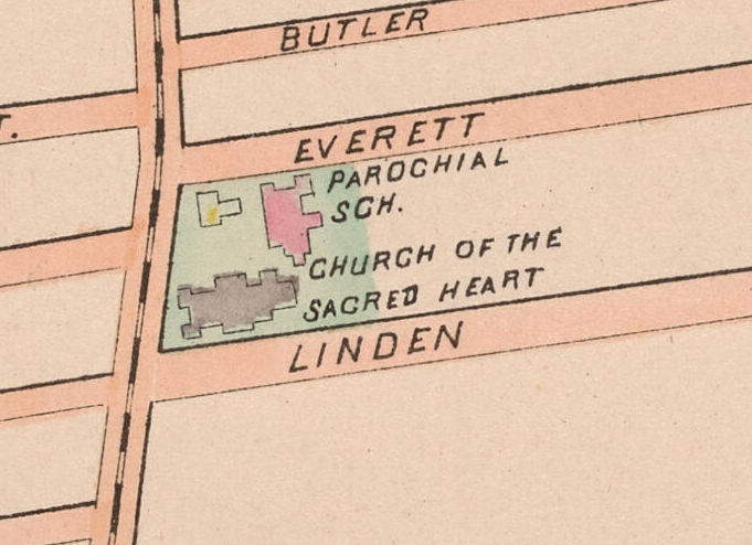
Sanborn MAPS1886 map1896 map1911 map

Springfield

CHURCHES LIST

CemeteriesLIST

PARKSLink to all parks

NEIGHBORHOODS LINK

SUBNEIGHBORHOODS LINK

Power Canals of the Chicopee River

OTHER

National Register of Historic Places (listings in Springfield Massachusetts)

Quadrangle

Mills of Springfield

Bridges of Springfield

Streets of Springfield

Springfield Public Library System

Union Station in Springfield

Forest Park Middle School 1896 Renaissance

Forest Park Center 1937 to 1979 Jewish School – Art Deco

Springfield Museums

Deacon Samuel Chapin – 1882

Water Shops Armory

Main Street

Industry in Springfield

The Olmsteds in Springfield

Wesson – Sanborn 1911 map

Court Square Historic District

Springfield Experience Walk

SCHOOLS and COLLEGES

Schools of Springfield Massachusetts

Communities

Hampden County

AgawamHollandSouthwick
BlanfordHolyokeSpringfield
BrimfieldLongmeadowTolland
ChesterLudlowWales
ChicopeeMonsonWestfield
East LongmeadowMontgomeryWest Springfield
GranvillePalmerWilbraham
HampdenRussell

Hampshire County

AmherstHadleySouth Hadley
BelchertownHatfieldSouthampton
ChesterfieldHuntingtonWare
CummingtonMiddlefieldWesthampton
EasthamptonNorthamptonWilliamsburg
GoshenPelhamWorthington
GranbyPlainfieldEnfield
Prescott

Franklin County

AshfieldGreenfieldOrange
BernardstonHawleyRowe
BucklandHeathShelburne
CharlemontLeverettShutesbury
ColrainLeydenSunderland
ConwayMonroeWarwick
DeerfieldMontagueWendell
ErvingNew SalemWhately
GillNorthfieldDana

Canals in the Connecticut River Valley of Massachusetts

National Historic Landmarks in Massachusetts

Quabbin Reservoir

Lost Towns of the Quabbin Valley

Rail Trails in the Connecticut River Valley of Massachusetts

A River Flows through It

nomenclature of cemeteries – EXTERNAL LINK

Single Burial Graveyards around New England

John Donohue

Damon Family Cemeteries of Massachusetts

Essex CountyMiddlesexNorfolk / SuffolkPlymouth / Barnstable
SalemConcordBostonLakeville
SudburyBrookline
Cambridge
Watertown
Lowell
Newton
Wakefield

Worcester CountyBerkshireBristolDukes / Nantucket
DouglasOtisFall River
HardwickLeeNew Bedford
WebsterPittsfieldWestport
DudleyDartmouth
North BrookfieldFairhaven
SturbridgeAcushnet
Uxbridge
Warren
WorcesterEaston

Connecticut

Stafford SpringsSomers
BerlinEast Windsor
Windsor LocksSuffolk

Vermont

Rockingham
Hartland

New Hampshire

KeeneLebanon
CheshireLaconia
Gilsum
Surry

New Jersey

Paterson

Maine

Rhode Island

Woonsocket

Evergreen Cemetery

Evergreen Cemetery is also called West Hill Cemetery. It is found on Munsell Street and thus it is also called the Munsell Cemetery. Lastly, since it is in the north of the town, it is also called North Cemetery.

Most likely it was founded in 1795.

A committee in Belchertown appointed in 1924 renamed this cemetery Evergreen.

Walter Corbin data is found at the LINK

The Ward and Pratt families have many members here.

Bethiah Ward

Rural Cemetery

Rural Cemetery is also called Coleman Dark Corner Cemetery. It is located near the Granby border. East State Street in Granby to Ruel Street to Rural Street.

It was founded in 1769 with the burial of George Thaping.

Headstone and footstone both point to west.

Here Ive Begun a Congregation

Which You now here may see

It wont be Long er you will throng

into the grave with me

This I have said as from the dead

Therefore Get Ready to

For you must. One day ask ____________

Leoammi Prenties

The cemetery is often called the Holyoke District Cemetery.

Charles M. Barton

Lake Vale Cemetery

Lake Vale Cemetery is also called Metacomet Cemetery or Pond Hill Cemetery. It is located on Bay Road in Belchertown. It started in the 1755 and is still an active cemetery. Many members of the Bridgman family are here.

Jonathan Warner

Deborah Phelps

Mary Smith

arrangement of stones

Samuel Hannum has a correct arrangement of stones. FINDAGRAVE

William Hannum is close

Joseph Smith (d 1786) is correct

Gideon Stebbins is correct

Hannah Clark

Hiram Freeman – William and Hiram Freeman are Afro-Americans and are brothers.

Nov 28 1960 HTT

Findagrave page for Lake Vale Cemetery

Walter Corbin data can be found at the LINK

03 Jul 1954 HTT

Cemeteries of Belchertown throughout its History

cemeteryorder / typeyear startedcalledlocation
Bacon Family Cemetery0
family
was in Enfield but was taken out due to Quabbin
Blue Meadow Cemetery0was in Enfield but was taken out due to Quabbin
Dwight Cemetery4th1790Cemetery Road near Federal and Amherst Streets
Evergreen Cemetery5th1795Munsell Street
Hillcrest Cemetery7th
neighborhood
1807Bardwell and Pine Streets
Jenks Cemetery8th
family
1845at the corner of South Street and South Liberty Street
Kimball Cemetery10th
family
186740 Kimball St
and then 1000 feet into the woods
Lake Vale Cemetery2nd
neighborhood
1755Bay Road near Metacomet Street near Sarah Lane
Liberty Cemetery6th1801near South Street near the Ludlow border
Mount Hope Cemetery9th
neighborhood
1846North Cemeterycenter of town
Rural Cemetery3rd
churchyard
1769also known as Coleman Dark Corner Cemeteryon Rural Street
South Cemetery1st1743called Old Belchertown Cemeteryon Mill Valley Road (route 181)
Warner Pine Grove Memorial Cemetery11th
lawn
1925Belchertown State School burial groundsTurkey Hill Road

The early burials of Belchertown are most likely found in the Old Hadley Cemetery. This is since the settlers came here in 1731 and the South Cemetery was not made until 1743.

Cemeteries in the Quabbin area at the Digital Commonwealth – LINK

Walter Corbin data is found at the LINK

As for the Catholic burials, since there is no cemetery for them in town, they used the Saint Thomas Cemetery of Palmer if they lived in the southwestern part of the town and the Saint Brigid’s Cemetery of Hadley if they lived in the northeastern part of the town. The Polish used the Saint Anne’s Cemetery of Palmer when it opened up.

The Jewish people of the town would use the Northampton site.

There seems to be no Native American sites.

Quabbin cemeteries that were moved from Enfield and would now be in Belchertown would be Woodlawn, Church, and Cemetery Hill.

Holyoke’s Keys to the City

Holyoke’s Keys to the City – September 30 to October 22 2023 – a selfie photo contest with cash prizes – a HPT event – Read more at the link and get your first CLUE.

Read some more about the contest at EVENTBRITE. And a press release at DOC.

October 28th there will be a formal Keys to the City event at 1 PM at the front steps of Holyoke City Hall. You will get a key and a tour in the city hall.

Answers to the Key to the City event:

Location 1 – Holyoke City Hall (High Street side)

Location 2 – Holyoke Public Library (4th Floor)

Location 3 – Massachusetts National Guard Armory in Holyoke

Location 4 – Wistariahurst (Gardens)

Location 5 – Wauregan Paper Mill (Fame Restaurant)

Location 6 – Holyoke Heritage State Park (Merry-Go-Round)

Location 7 – Veterans Memorial Park (Columbia Statue)

Location 8 – Pulaski Park (formerly Hampden Park or the Patch)

Location 9 – Sue Ellen Panitch River Access Center (Holyoke Rows)

Location 10 – Ashley Reservoir (Elks Club entrance)

Location 11 – Dinosaur Tracks (Trustees of Reservations in northern Holyoke)

Location 12 – Jones Point Park

Location 13 – Forestdale Cemetery (at its central Holyoke entrance)

Location 14 – Murals in Holyoke (select any one)