The Churches of Chicopee
CATHOLIC CHURCHES
Basilica of Saint Stanislaus BM
Nativity Church (stop 1 only at LINK)
Saint George Church (also called Saint Joachim Church)
LINK to my Patreon pay per view video on the Catholic churches of Chicopee.
PROTESTANT CHURCHES
Saint Constantine and Helen Church
Chicopee Falls United Methodist Church
Holy Mother of Rosary Church (a Polish National church)
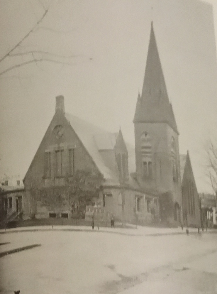
First Congregational Church of Chicopee Falls
Churches on Springfield Street in Chicopee
Holy Trinity Church of Chicopee
Kingdom Hall of Jehovah’s Witnesses