
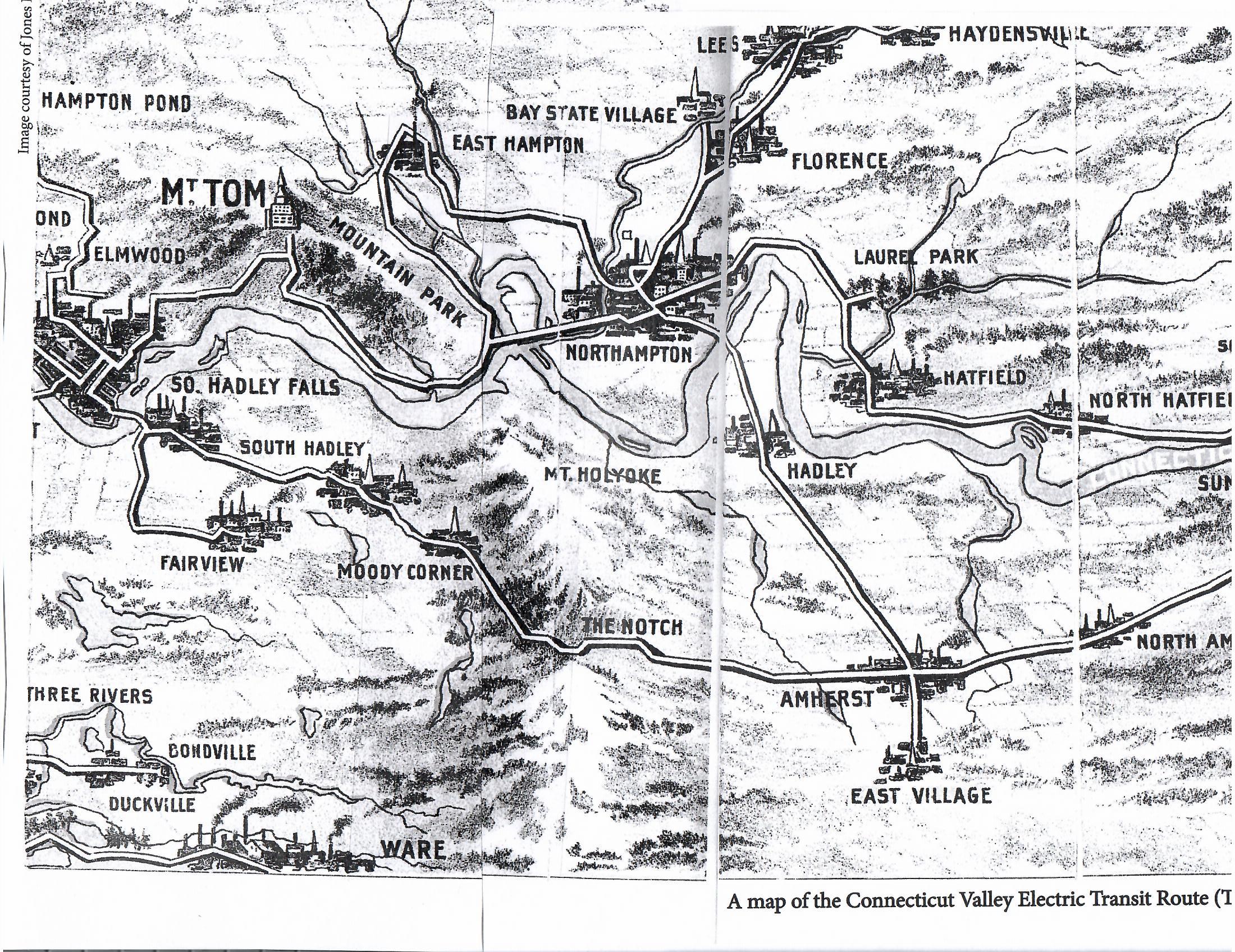
There were many trolley lines in Holyoke. They led to the many towns and cities that surround it. Also they led to parks and neighborhoods and in fact caused the development of those locations. The staggered black and white lines on the map at this LINK are the trolley lines of Holyoke. Read more about the history of the lines at the Wistariahurst ARTICLE. The trolley lines were vast throughout the state. There were more miles of trolley tracks than of rail tracks in Massachusetts. No other state could state such a fact. Holyoke acquire much rural lines and still was profitable. See the 1899 trolley lines in Massachusetts at this MAP.
LINE A – Downtown to Mountain Park to Northampton line
This line started in 1890 and went from High Street up Appleton Street to Pleasant Street. The line extended later to the base of Mount Tom near the north of Whiting Street Reservoir. It was a long line and busy line. After going to the park it went on to Easthampton and to Northampton. It followed along the eastern edge of Route 5. The extension to Smiths Ferry was ready in July 4 1900. Then it was extended to Mt Tom Juncture. Then on October 20 1900 to Northampton. In many places, the route changed the highway itself to make car traffic safer and trolley traffic possible and smoother. The corner of Lincoln and Northampton Streets was made wider and one can still see the difference there.

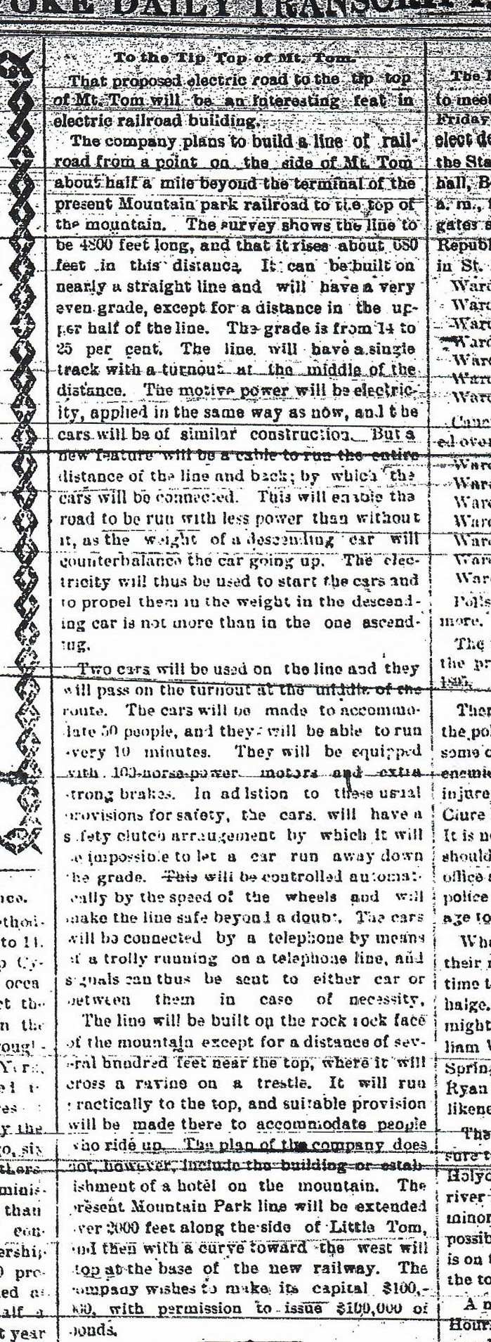
A spur from Mountain Park led to the bottom of Mount Tom. Then a tramway went to the top of the mountain. This tramway used both gravity lift and a motor. The cars – called the Elizur Holyoke and the Thomas Rowland – would meet in the middle. In order to pass that had two tracks separated by a large bedrock. At the top of the mountain there was a beautiful hotel.
In 1895 there were two choices about where to put the new trolley park. One was in the Little Mountain and Mount Tom area. The other was in the Highland Park area. Obviously the new Mountain Park was put into the Little Mountain and Mount Tom area. Mountain Park is named after Little Mountain since it lays alongside that small mountain. Little Mountain is named after a farmer who last name was Little. Many people are mistaken in calling that mountain Little Mount Tom. On July 7 1895 the line was ready to the new Mountain Park. Two days later Mountain Park opens.
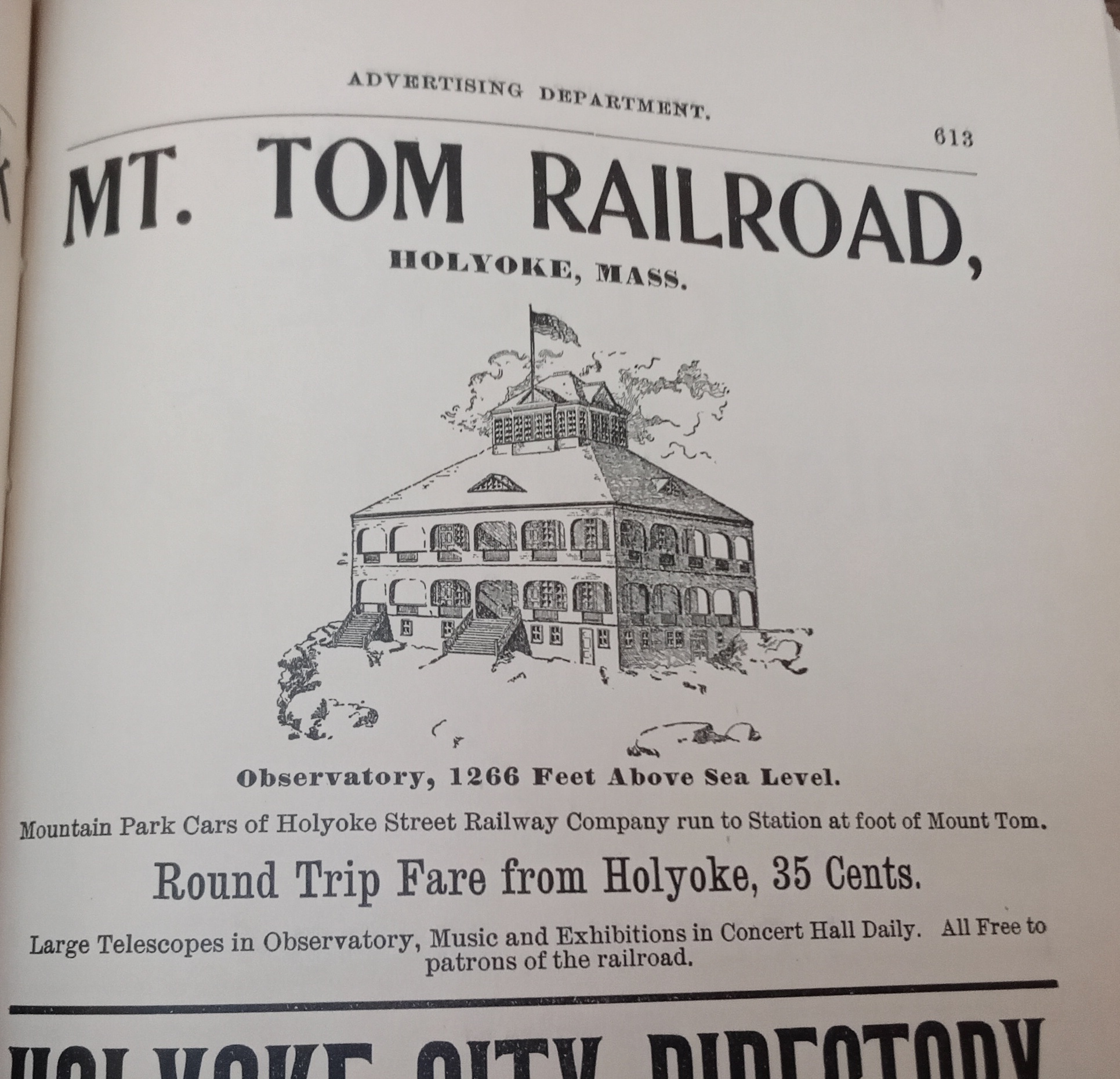
In 1896 the mountaintop Mount Tom was developed by placing a tramway up it and a hotel there. All was ready for the first trip on May 5 1897.
LINE B – Downtown to Highland Park
This shorter line went from the Downtown area up Appleton Street into the Highlands and proceeded onto Pleasant Street. Its destination was Highland Park. This was a city owned park. At first when this line started in 1886 if went only to the juncture with Lincoln Street. By the late 1890s Highland Park was made and the line was extended to that destination.
There are 4 definitions of a trolley park and Holyoke had all 4 types within the city. Type 1 is a park owned by the trolley company that has a trolley line run to it. Mountain Park is a type 1. Type 2 is a public or private park that is not owned by the trolley company and that nevertheless has a trolley line run to it as its main destination. Highland Park is a type 2. Type 3 is a park that is on the route of the trolley line and the park was built because the trolley was know to pass by that route. Again it must be a public or private park that is not owned by the trolley company. Springdale Park is a type 3. Type 4 is a park that predates the trolley line and just happens to have the trolley line pass by it. Veterans’ Park is a type 4.
Trolley Parks of Western Massachusetts
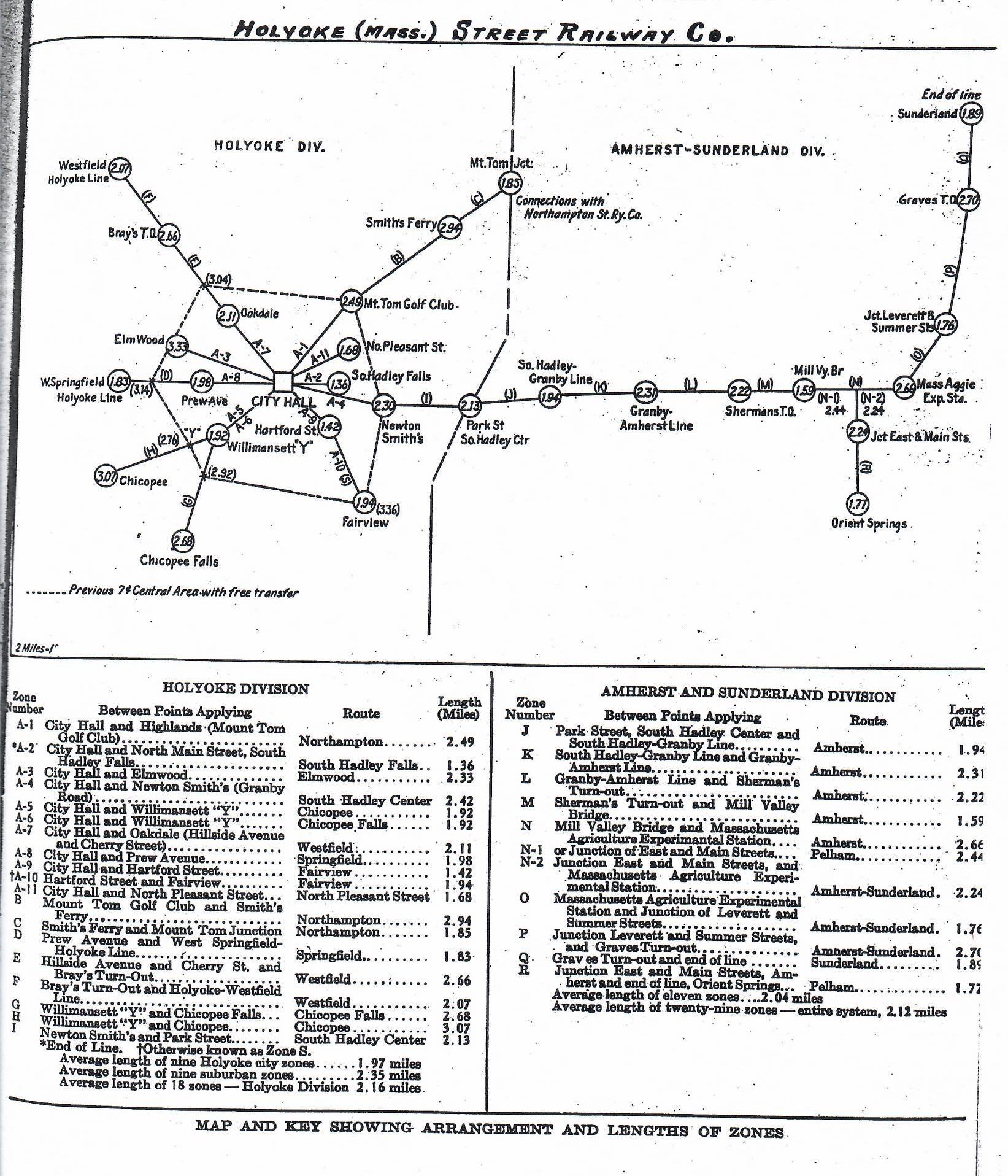
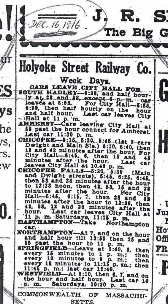
On February 18 1918 there was a complete revision of the fares. An inner zone and an outer zone were created. Fares within the inner zone were kept at 5 cent for a one directional trip. Trips outside the zone were at 10 cents. Transfers within the zone were at 2 cents more to the ticket price. The financial and economic effects of this change can be read about on this page. The outer zone system worked by tickets and stubs. Students in school systems could get a strip of 10 tickets for 30 cents.
LINE C – Trolley Barn to Springdale Park
This trolley line created an entire neighborhood and a park. The neighborhood was made by John Prew who built his house alongside the route in order to be an example to the residents of what their home could be like. This line went onwards to West Springfield. The park was at first owned by Prew but after 10 years it was taken over by the city. The line was opened in 1895 and connected to the already made West Springfield trolley line run by the Springfield trolley company. All opened in July 22 1895.
LINE D – Trolley Barn to Chicopee
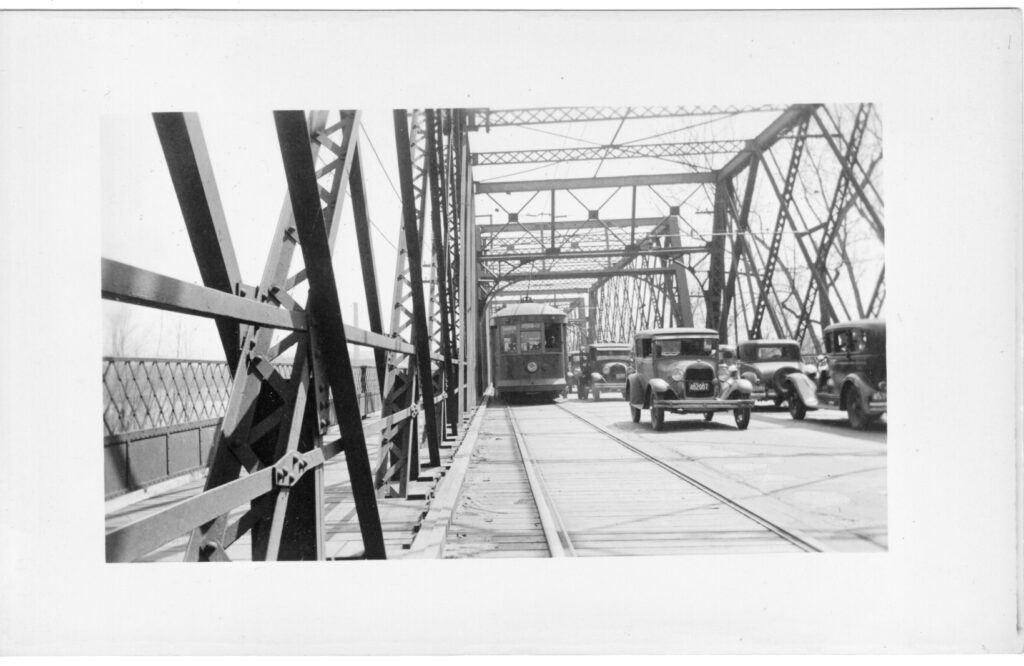
This trolley line created the trolley neighborhood of Willimansett. That was in 1893 when the line crossed the bridge into Chicopee. The line went from Main Street onto Cabot and then across the bridge to Chicopee. It extended all the way to Chicopee Center. There was an additional branch added in 1895 that went to Chicopee Falls. Both of these lines were connected to Springfield via the Springfield Trolley System. When the Springfield line connected to the Hartford line on January 13 1902, the interstate interurban was opened to Western Massachusetts.
LINE E – Trolley Barn to South Hadley to Amherst to Sunderland
This trolley line is the oldest of them all. It was at first a horse-drawn route but became a electric one. This horse drawn route went partly up Main Street almost to North Main Street. The first run from Main Street of Holyoke to Main Street of South Hadley was during the summer of 1884. The Holyoke Street Railway was incorporated in June 11 1884. The entire system was electrified in 1891.
A South Hadley Center line was added May 31 1896. This was extended to Amherst on July 11 1902. This extension would lead to the first rate change. All rates prior to the February 18 1918 zone change were 5 cents expect for the Amherst line which was 7 cents. Later were added the full Amherst and Sunderland lines as destinations from the South Hadley Center hub. This was a 1907 purchase. This did not create a new neighborhood since both parts of South Hadley – the Center and the Falls was settled. That is why the first route even went to South Hadley since it had many people. Later routes of the Holyoke Street Railway did create trolley suburbs but not this South Hadley one. See the purple route to the north on the map.
There was a planned line called the Depot line that was never built. There was a Main Street of Holyoke line to Beech Street opened in summer of 1886 that only lasted for a few years. There was a very short lived line from Dwight to Linden that opened in 1888 and stopped the very next year.
LINE F – Trolley Barn to South Hadley Falls to Fairview (in Chicopee)

This route left the trolley barn of Holyoke and when it got over the County Bridge took a right on to Main Street. It went onto Bolton Street (now a one way street). Then right onto Hartford Street and quick left onto Ludlow Road. From there it quickly entered into the woods by bearing right. It came out on Britton Street. It stayed on Britton St for about a half mile when it took a left onto Royal Street. Then back onto Ludlow Road in Chicopee where it ended near the juncture with old Lyman Road. This line never connected to Ludlow. The first run out there was on May 1 1897. A trolley cemetery was created at its end. It is now called the Sons of Zion Cemetery.
LINE G – Downtown to Westfield
This trolley line went up Sargeant Street and then Northampton Street. That was as far as it got when it was first made in 1892.
In later years, when it got to Cherry Street it went up hill to the start of Jarvis Avenue. Then instead of taking a right it took a left and went into the woods behind Homestead Avenue. Its final destination is Westfield. Part of the trolley bed is still visible in the nature trails behind Holyoke Community College. All was done in parts with the line going as far as St Jerome’s Cemetery at first. On June 11 1903 it reached the Westfield line (Hampden Ponds). During the later part of that year they reached the center of the city of Westfield.
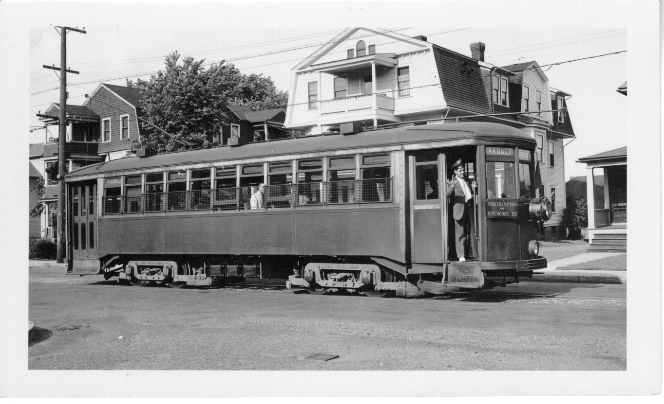
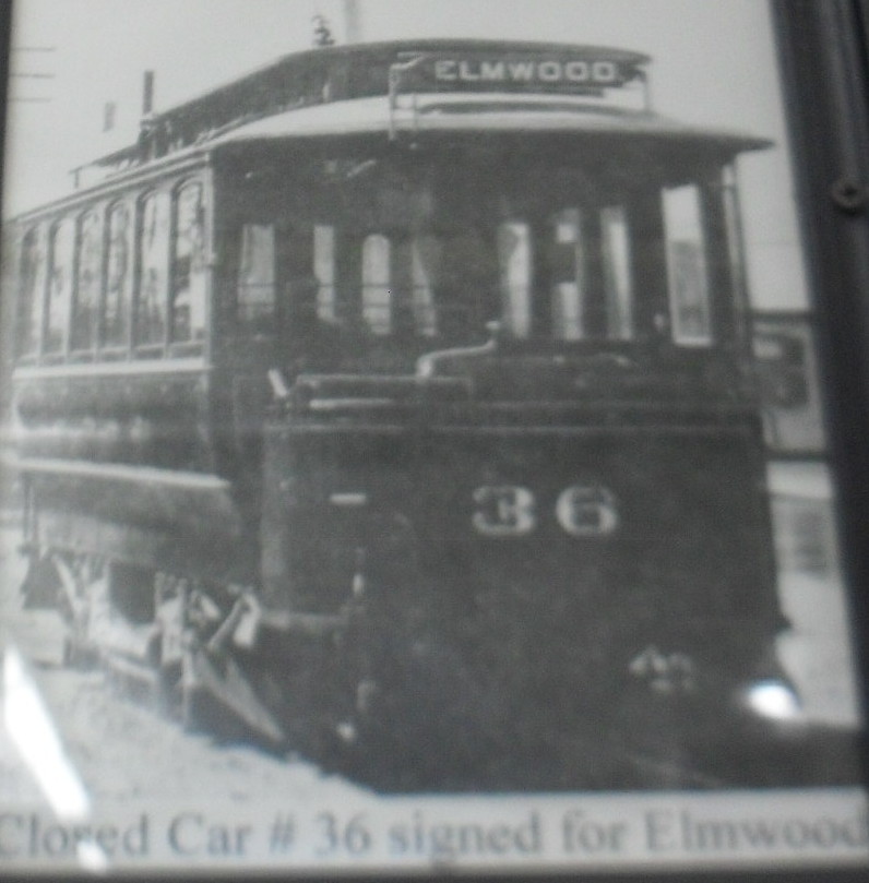
LINE H – Elmwood Circuit
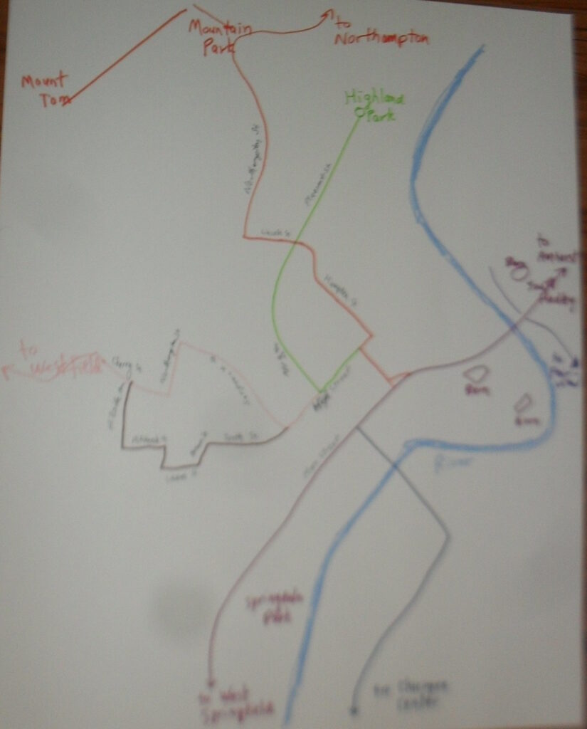
This line went up High Street to Chapin Square and passed onto Brown Avenue. It took a left onto Laurel Avenue a short right onto Northampton Street and then a left onto Hitchcock Street.

Three quarters of the way up Hitchcock Street it took a right onto a dirt path that allowed the trolley to go straight onto Hillside Avenue. This dirt path does not exist any more. This line is marked in blue on the map. This Elmwood Circuit was started in 1889 but was only completed into a loop on June 11 1903. Before that date it stopped at Northampton Street.
There many lines were joined together in order to help the trolley company and the conductors.
Route 1 – Highland and South Hadley Falls
Route 2 – South Hadley Center and Elmwood – Chicopee and Elmwood
Route 3 – Oakdale and North Pleasant Street
Route 4 – Fairview and Westfield
Route 5 – Springfield
Route 6 – Chicopee Falls
Route 7 – Northampton
Route 8 – Amherst, Sunderland, and Hampshire
This is a summary of the lines. In total there were 71 miles of track. In 1923 the maximum was reached when 18 million people used the trolley that year. There were 140 trolleys for the passengers and 32 trolleys for work functions. Cars could travel at 12 to 15 miles per hour. They stopped on September 20 of 1937 and the tracks pulled out in 1940. It was not the car that put the trolley out of business but rather the bus. The first bus in Holyoke was in 1921 and thus the bus and the trolley existed side by side in Holyoke.
In those early years, Holyoke had its own trolley track company since so many tracks were needed. It was called the Coburn Trolley Track Manufacturing Company (Sanborn 1895 map). See this old film about Coburn production.
LINK to the trolley barns of Holyoke
Sanborn map analysis shows the second trolley barn is being built in 1895. At that point the third barn was just an empty lot. By 1949 the 2nd barn is gone and the 3rd is a bus garage.