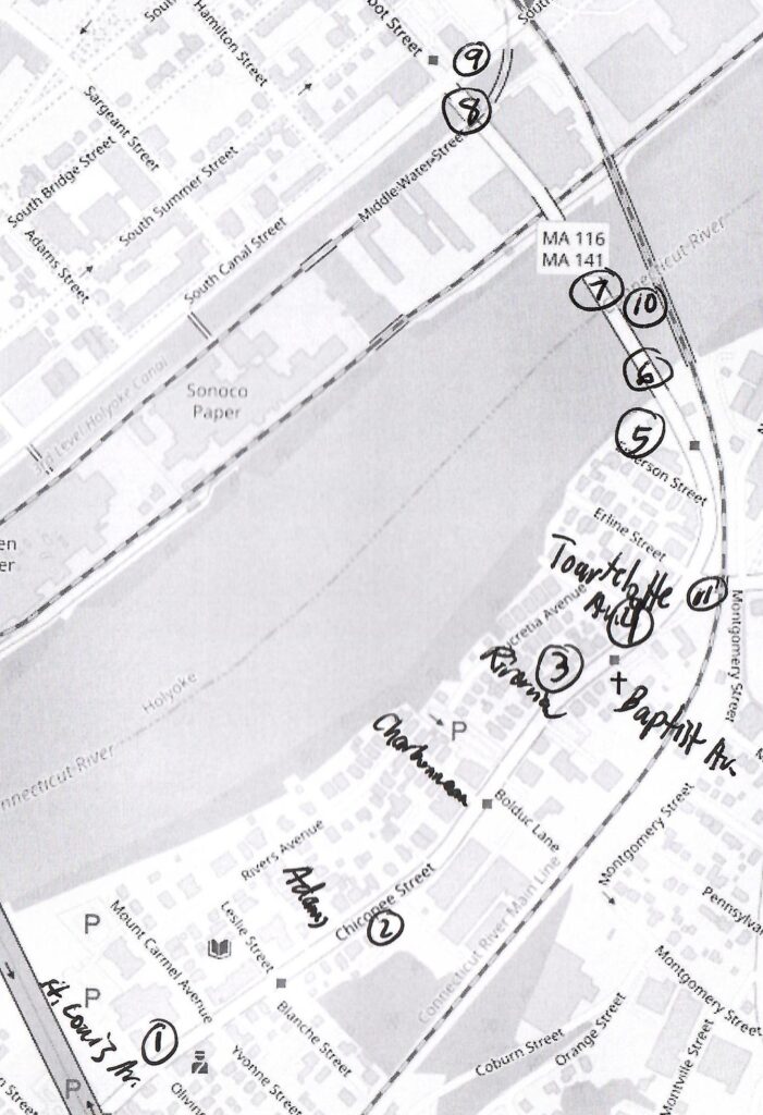
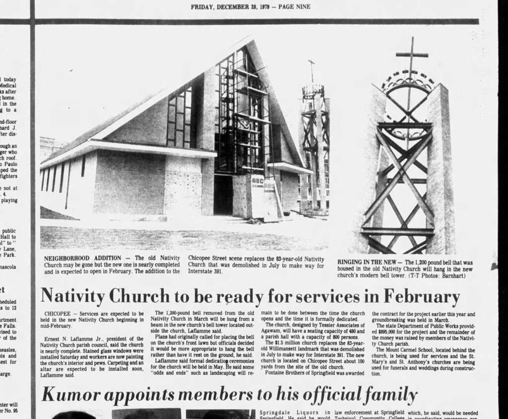
stop 1 – Church of the Nativity Rectory
The Church of the Nativity has its own page on my site. LINK

The Mount Carmel School is behind the rectory at 32 Mount Carmel Avenue (LOCATION). This school was ready for classes on September 5 1922. The convent for the Sisters of the Presentation was built in 1932.
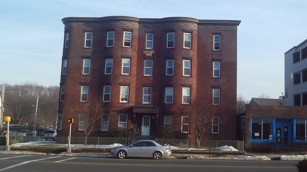
The Maryland, the Allaire, and the Esther are across the street.
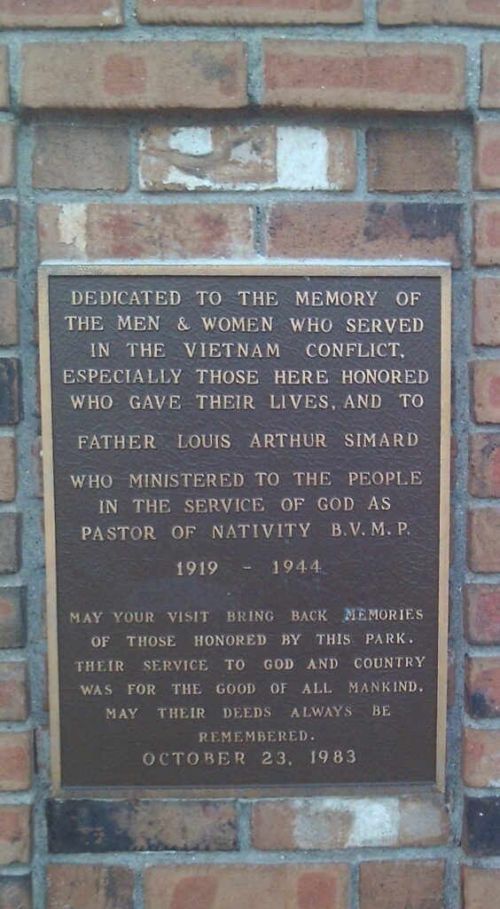
Now the church is a memorial park that honors the men that gave their lives in Vietnam. (LOCATION)

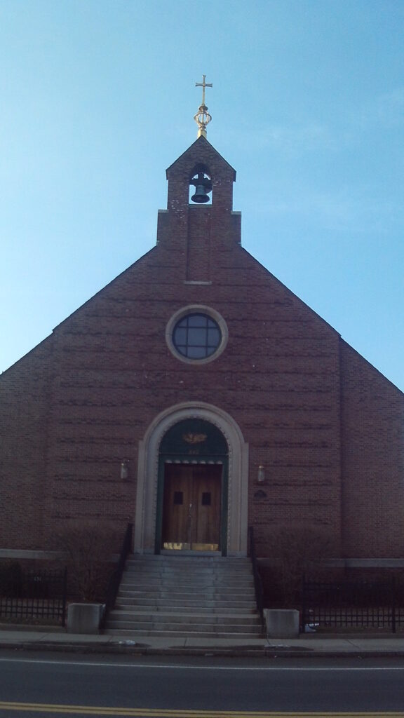
Stop 1B – St Mary’s Church
This church and parish is from 1940 and was an offshoot of Nativity Church. (840 Chicopee Street) (LOCATION)
stop 2 – BF Perkins and Sons Mill
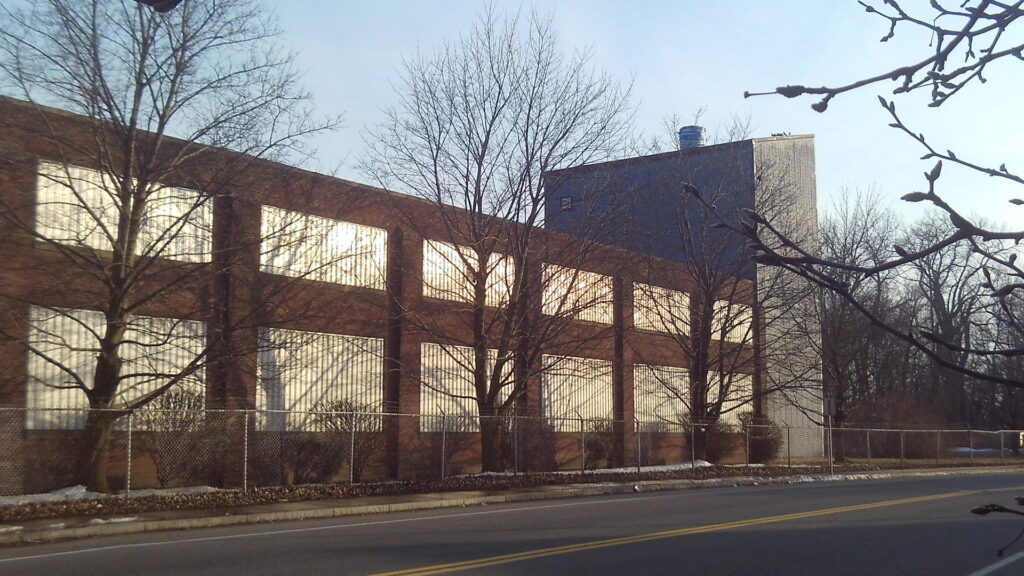
At the corner of Adams and Chicopee Streets, see across the street the paper mill of the Perkins family. (939 Chicopee Street) (LOCATION)
stop 3 – Pendleton House
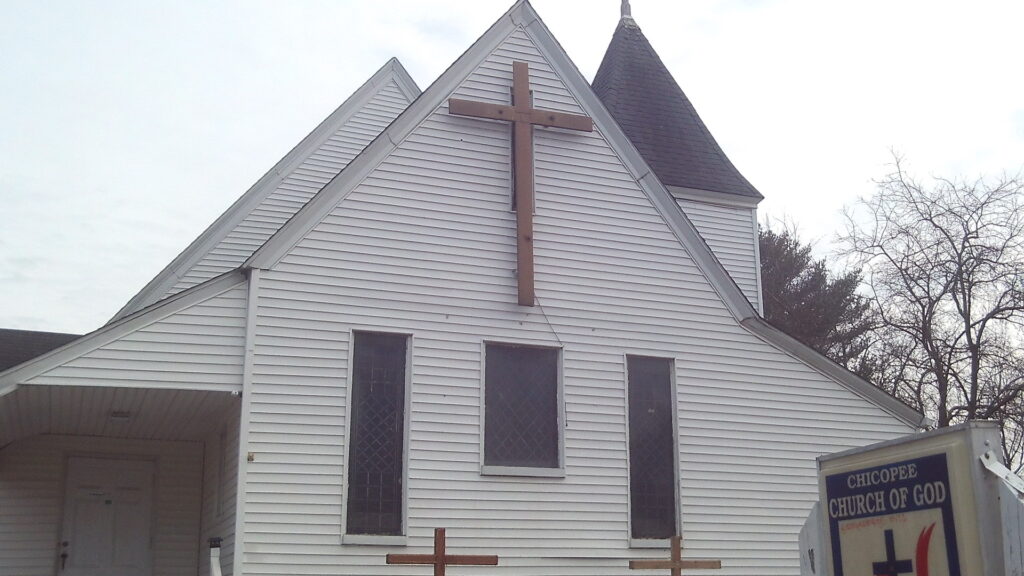
At the corner of Baptist Avenue and Chicopee Street, on the western sidewalk that you are on, find the Pendleton House at 994 Chicopee Street. (LOCATION) This is an 1820 farmhouse. Across the street find the Beulah Baptist Church a mission church of the Second Baptist Church of Holyoke.
stop 4 – Willimansett School
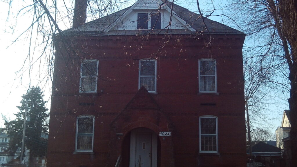
At the corner of Tourtelotte Avenue and Chicopee Street, see the Willimansett School at 1024 Chicopee Street. (LOCATION) In 1879 this was a public school.
stop 5 – James Emerson house
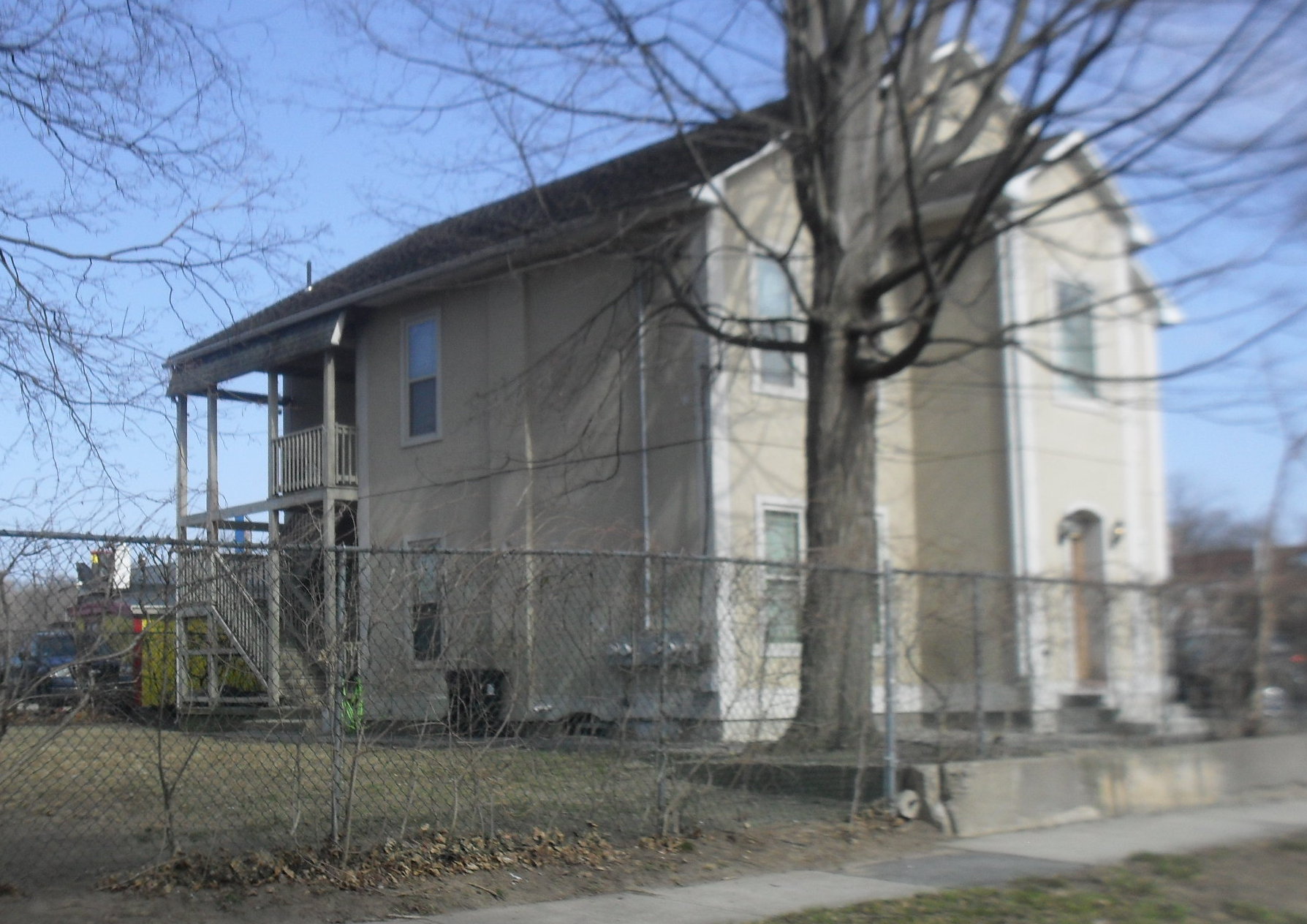
This stop at 30 Emerson Street is the James Emerson house. (LOCATION) He was a hydraulic engineer for the Holyoke Water Power Company. He ran the first test flume in Holyoke.
stop 6 – The Willimansett Bridge

The Willimansett Bridge (LOCATION) was made a year after the County Bridge a mile up the river. It was made in about 1891. It is a steel triple truss bridge.
There once was another bridge from Chicopee across the river to West Springfield – the Ashley Avenue Bridge. It was at first built in 1849 and then replaced in 1906.
The Interstate 391 bridge that you now see to the south was dedicated on September 10 1982.
To the north is the Vietnam Veterans Bridge between South Hadley and Holyoke. Just beyond that and also beyond the Holyoke Dam is the Muller Bridge. This last bridge was dedicated October 20 1966. It was an enormous project that required the taking of 23 homes. See stop 1 at LINK.
stop 7 – The Connecticut River
The Connecticut River is 406 miles long. At this point it still has a long way to go to Long Island Sound. Look toward the bank on the Holyoke side and you will see Spillway 5 of the Holyoke Canal System. On heavy flow days the output of water is very high. Past the bend of the river is the start of the Chicopee Falls area and also the Chicopee River comes in at the left.
stop 8 – The Holyoke Third Level Canal
stop 9 – Riverside Station in Holyoke
stop 10 – The Connecticut River Railroad
The Connecticut River Railroad Bridge (LOCATION) was put on the west bank of the river in 1841. The bridge that you see here was put in place in 1872. One small station was right on the bank itself on the Holyoke side and a similar station on the Chicopee side. The bridge is still used for freight and for Amtrak. Once it include a walkway for people that wanted to walk across into Holyoke or Chicopee. The Connecticut River flows at a very placid tempo at this location.
stop 11 – Willimansett
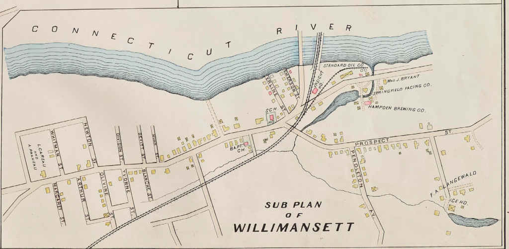
Sanborn map analysis:
