
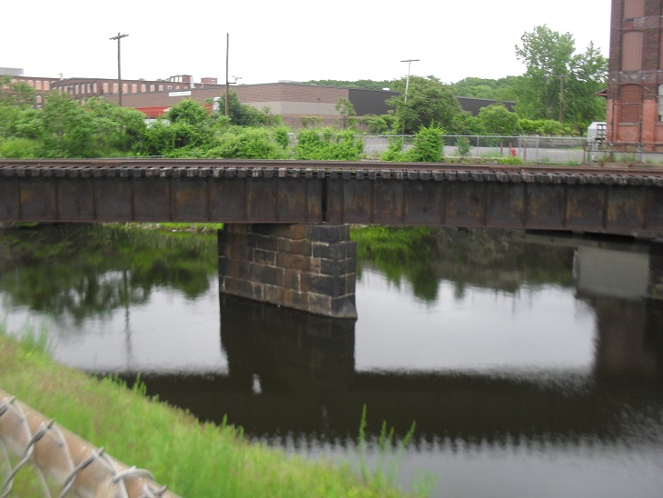
[Stand at the juncture of Water Street and Canal Street near the railroad crossings. This is Riverside Station. Water Street is a public way that has its middle section bisected by the Boston and Maine Railroad with the Railroad Bridge just beyond.]
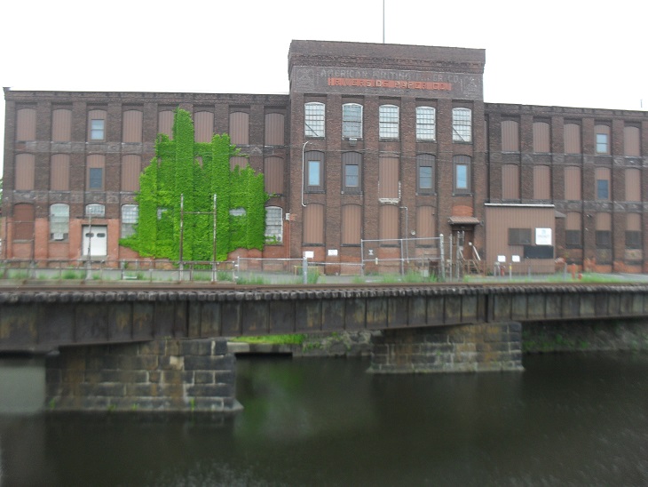
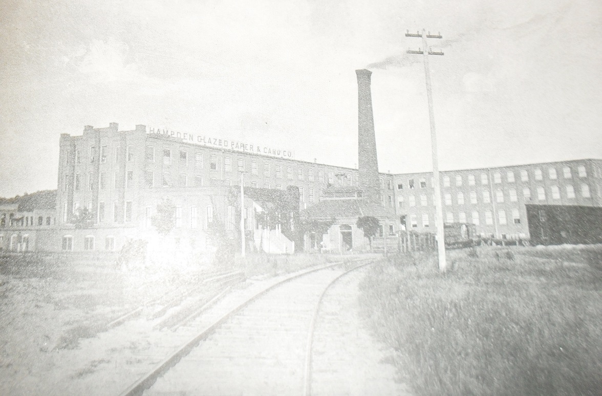
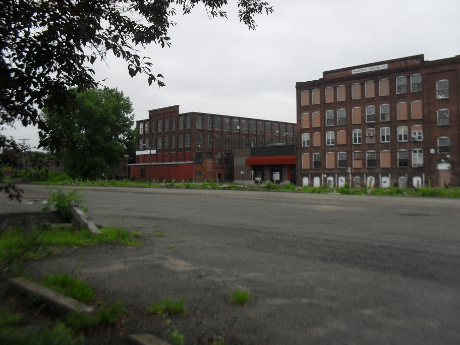
Riverside Station is located at the crossing of the Boston and Maine Line and Middle Canal Street. In front of you and somewhat to the south are the three Riverside Paper Mills. To the north of those formerly existed two narrow mills. The front mill was National Blank Book Mill and the back mill was White and Wyckoff. From 1889 to 1963, White and Wyckoff was the greeting card giant of the country. Hallmark Cards was not as strong nor as old as White and Wyckoff but during the 1950s Madison Avenue pushed their cards more. One step to the north is the original Hampden Glazed Paper Mill. George Fowler started this company in 1880 and it is the oldest company still operating in Holyoke. It is still owned by the great grandchildren of Fowler but is now called Hampden Papers. They process paper to place metallic designs on it.
The Corps of Engineers built levees and pumps in Holyoke in 1940. There were two severe floods in Holyoke in the 1930s – 1936 and 1938 due to the Connecticut River floods. The levees are more obvious from South Hadley and Chicopee looking in the direction of Holyoke. There are five pumping stations in Holyoke for flood control. One obvious one is behind the Riverside Mill number 1 – Pump Station 4.
The railroad tracks at your feet are a reminder that the mills in Holyoke each had their own spike going into and out of each plant. The largest mills would have many train track spikes for each section of their mills that needed supplies brought in or needed finished goods brought out. The tracks along the first and second canals were serviced by the Westfield Railroad while the tracks along the third and the eastern second were serviced by the Connecticut River Railroad.
Sanborn map analysis: