South Amherst Common

In the Middle Street and Shay Street quadrant:

989 South East Street in the early 1800s was the post office of this small neighborhood and had the Hiram Allen family living here. This is a federal era home. – FINDAGRAVE

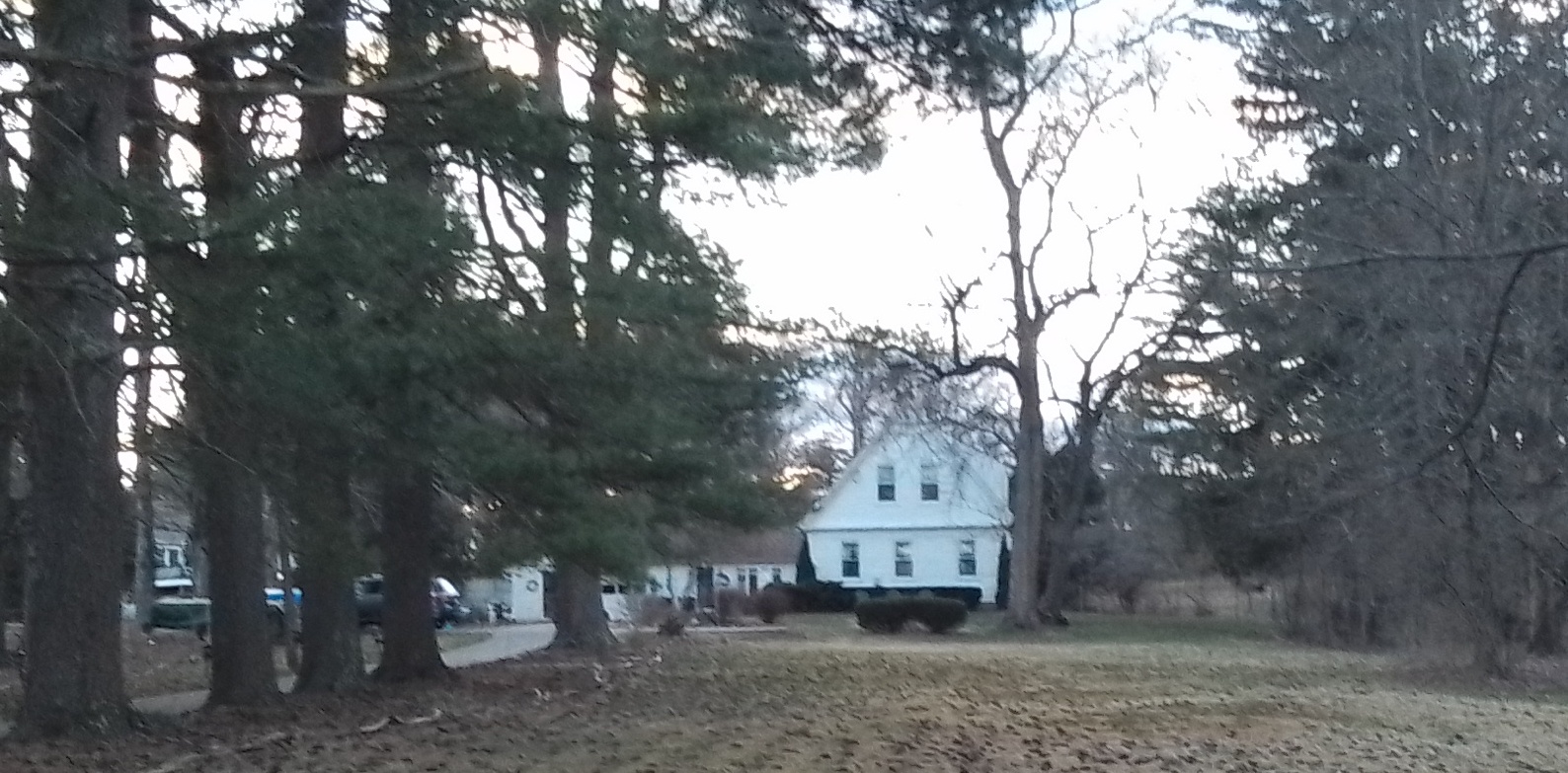
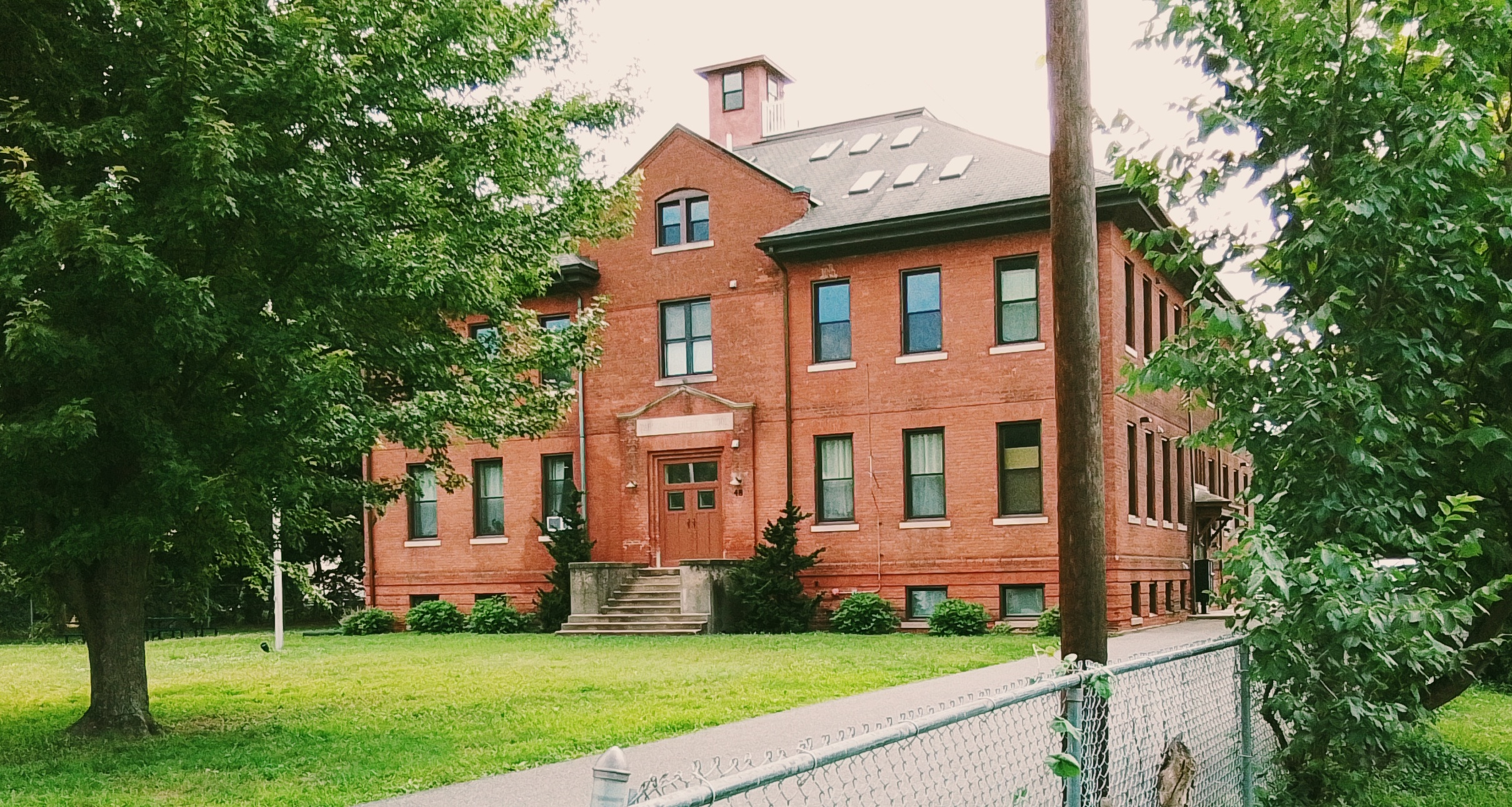
1001 South East Street is the South Amherst School from 1900.

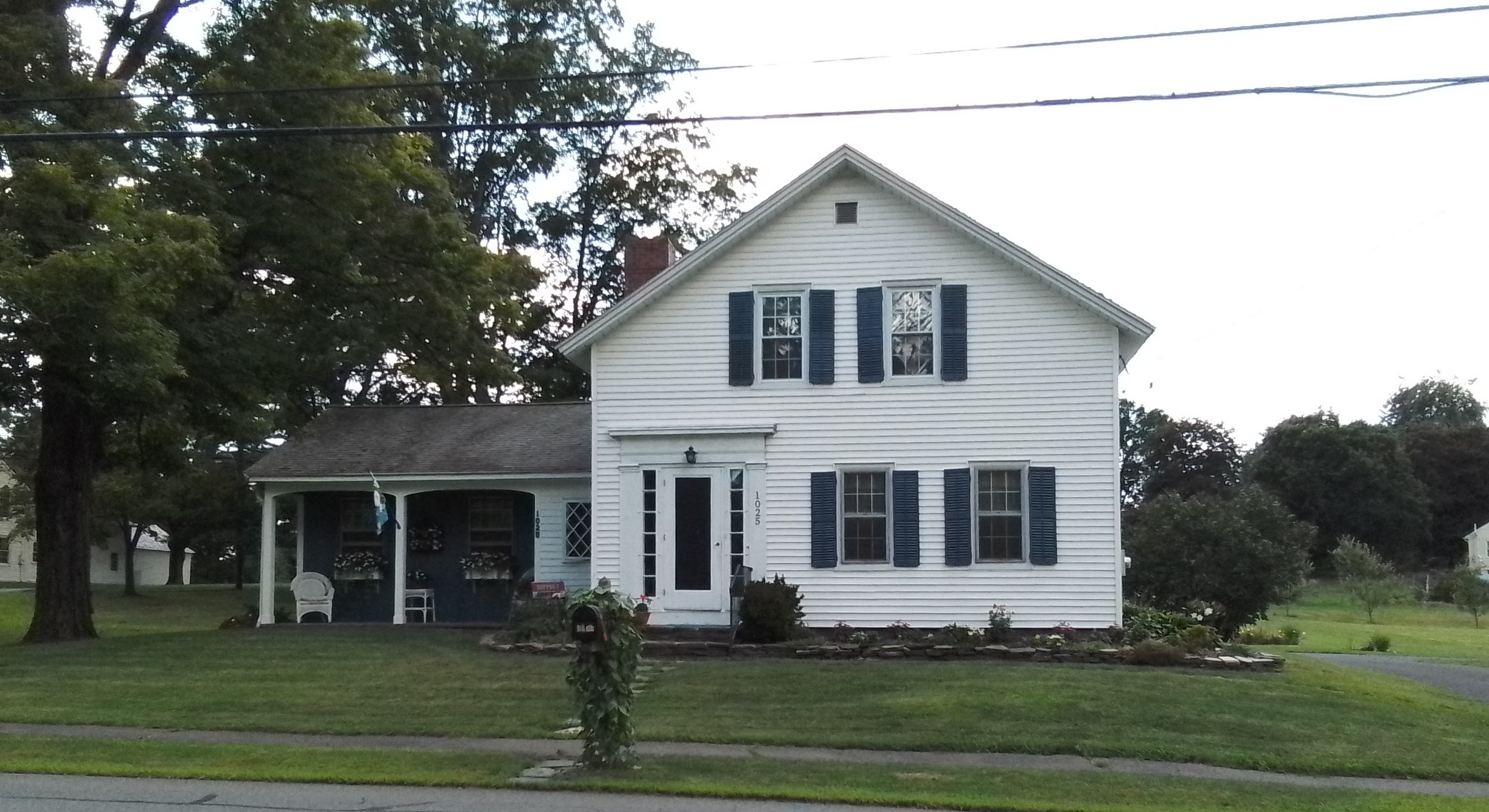
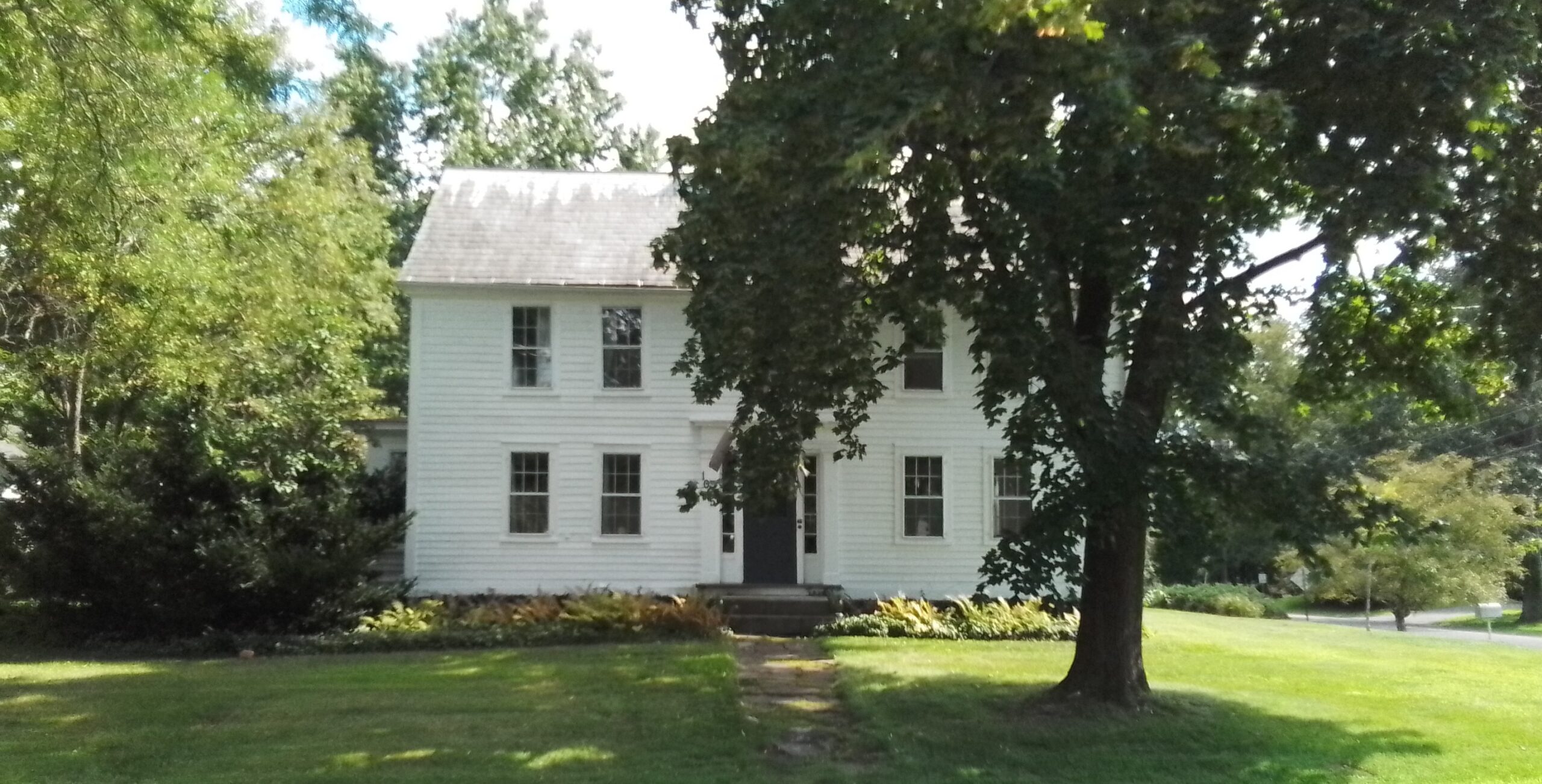
1025 South East Street is the Armstrong house from 1860. – FINDAGRAVE

In the Shays Street to Pomeroy Lane quadrant:

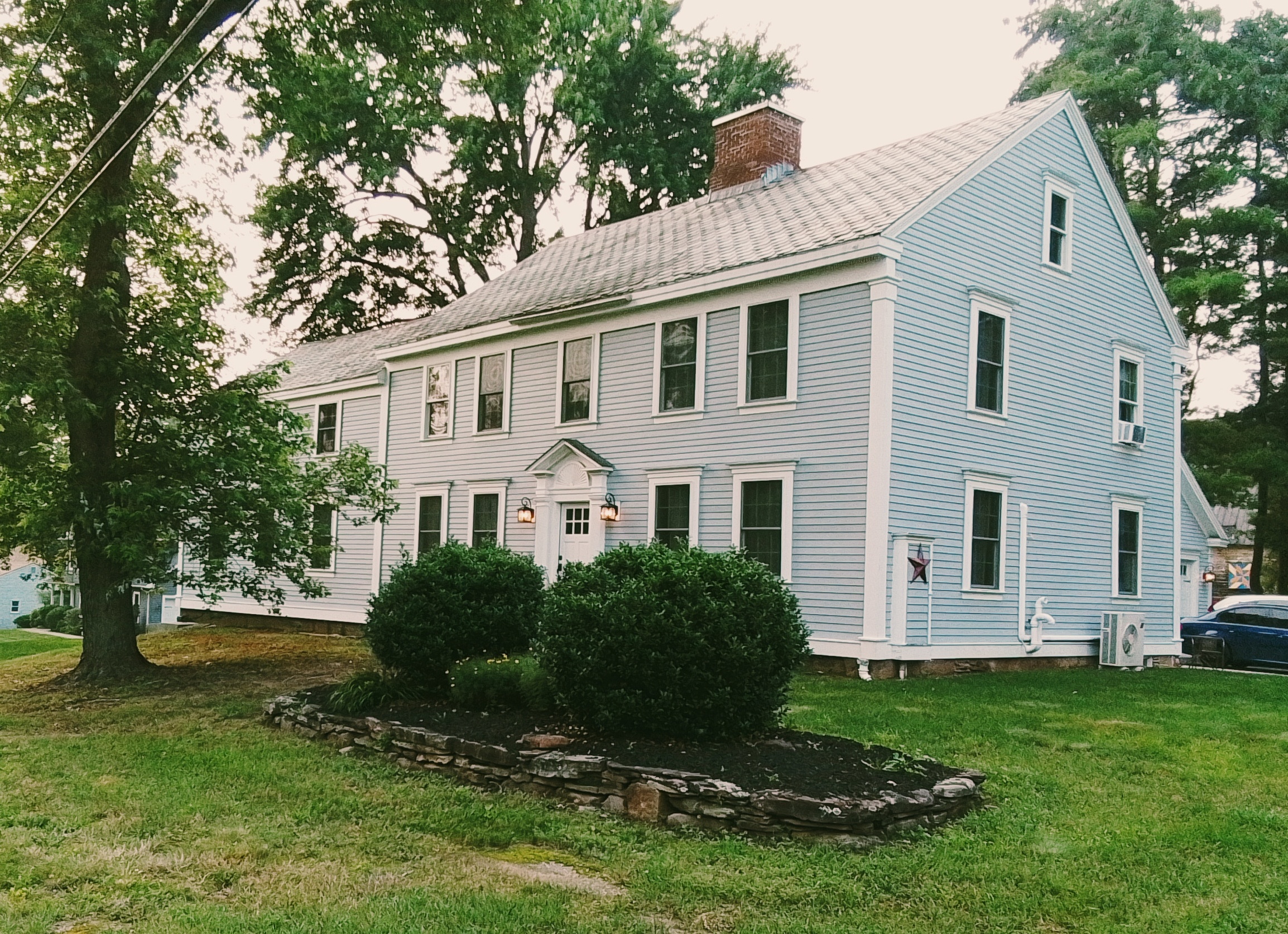
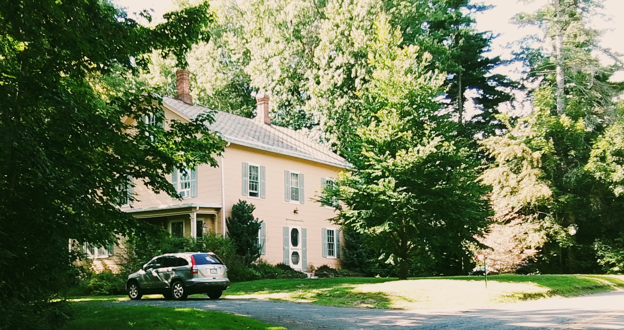
At 445 Shays Street is the Jonathan Dickinson home and barn from 1780 in Federal style. – FINDAGRAVE

At 324 Pomeroy Lane is the Enos Dickinson home and store / post office. – FINDAGRAVE

In the Middle Street to South East Street quadrant:

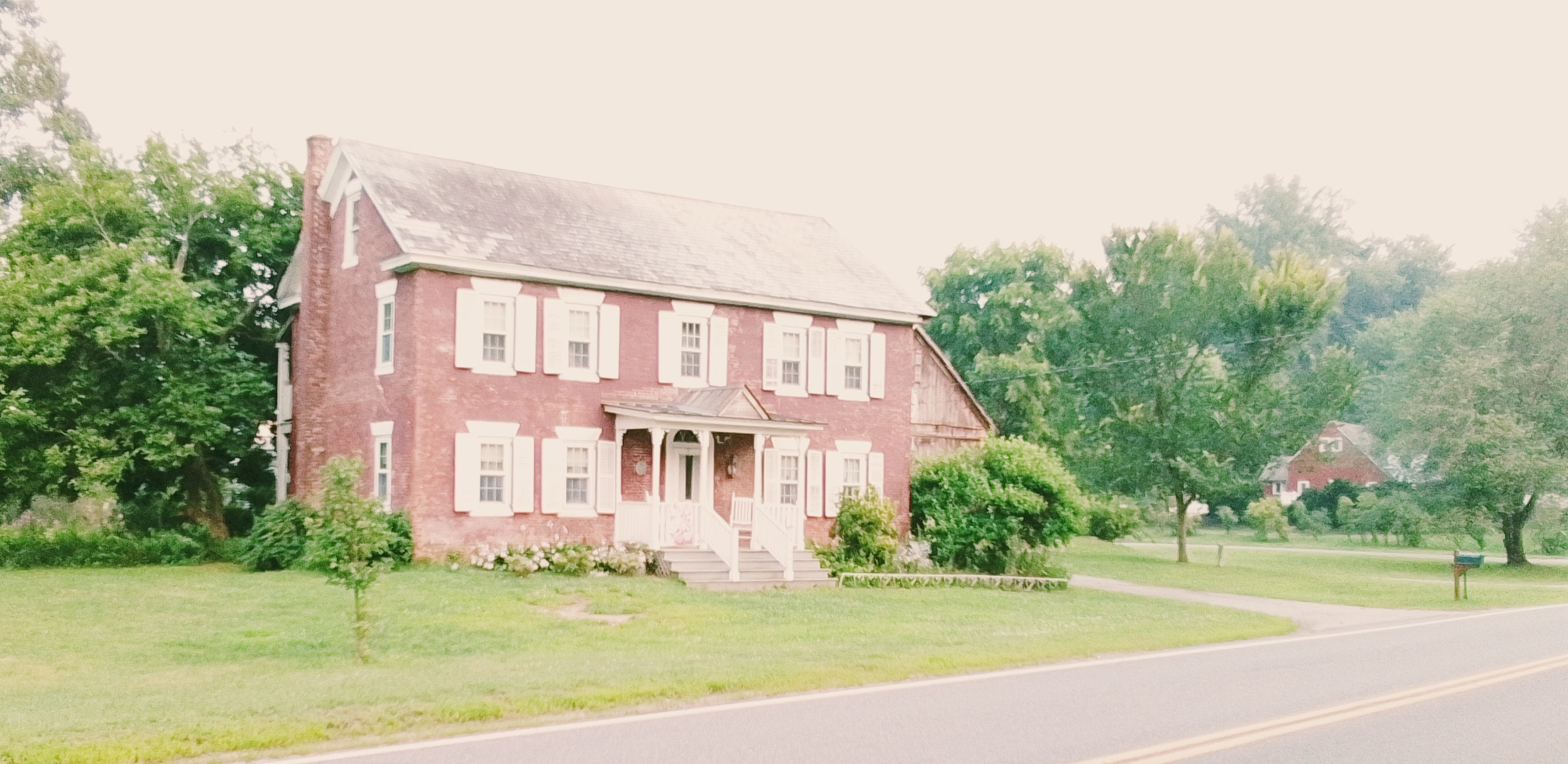
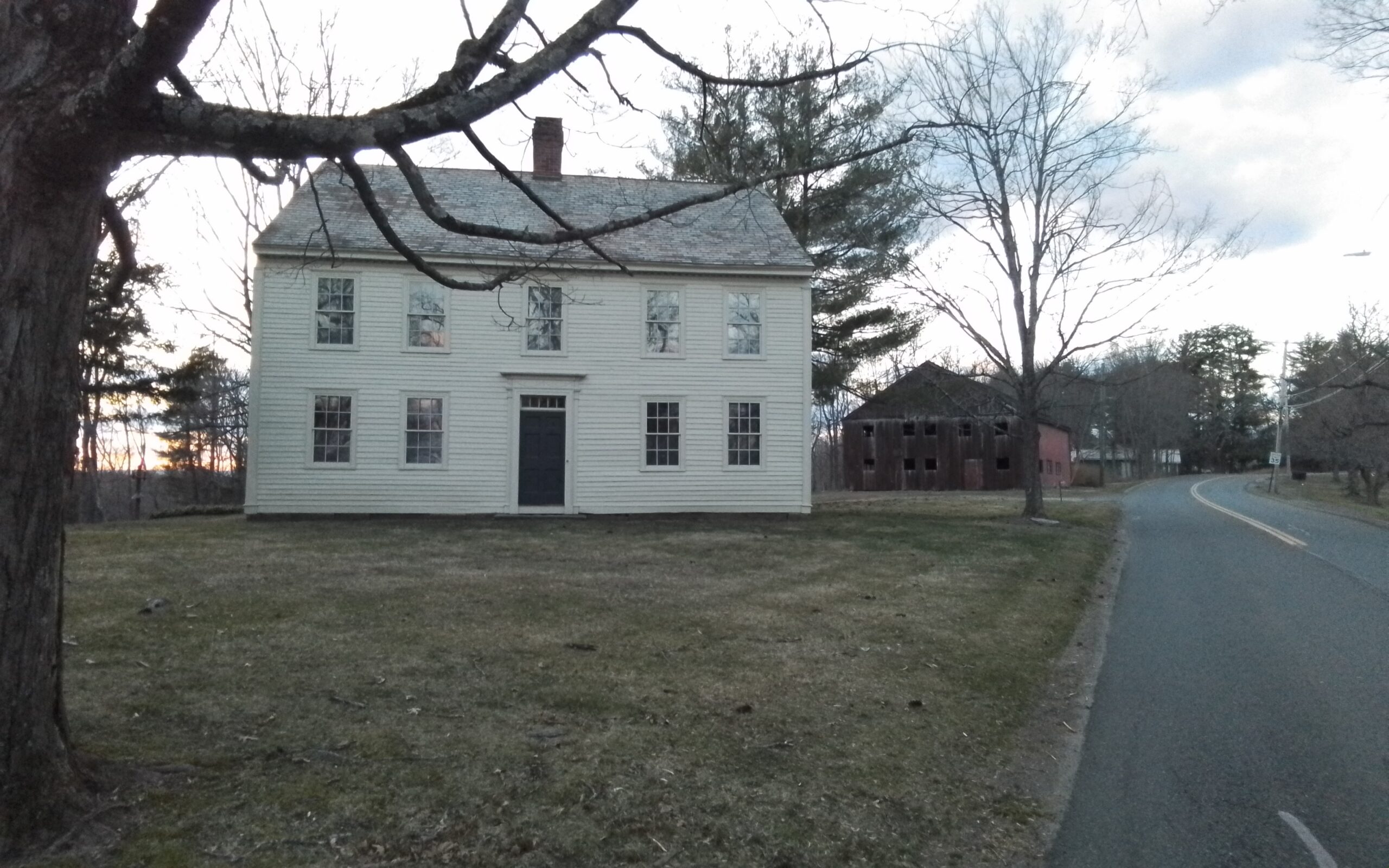
At 1055 South East Street is the house from 1742 in a Georgian style. – This is the house of Nathaniel Coleman

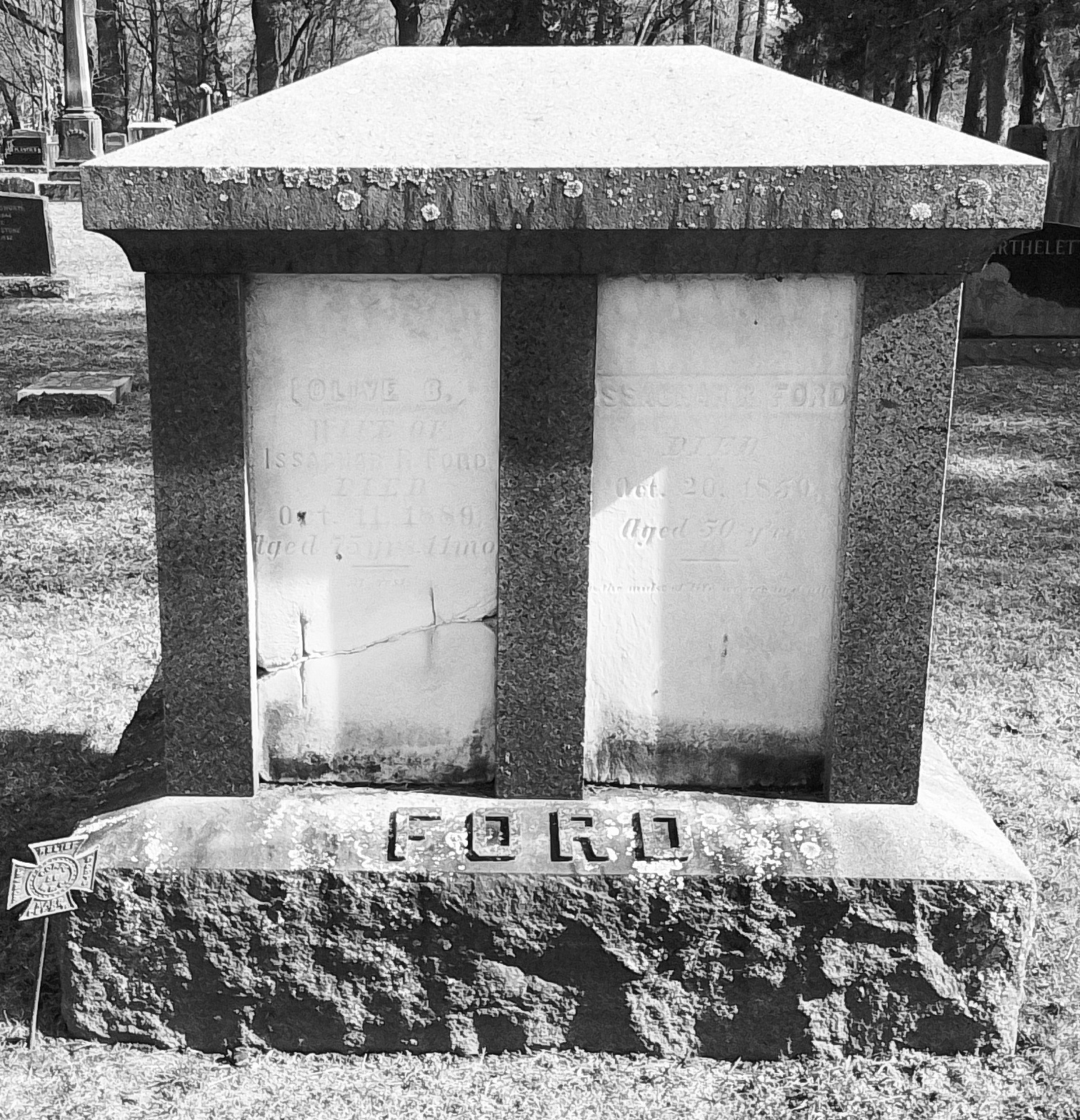
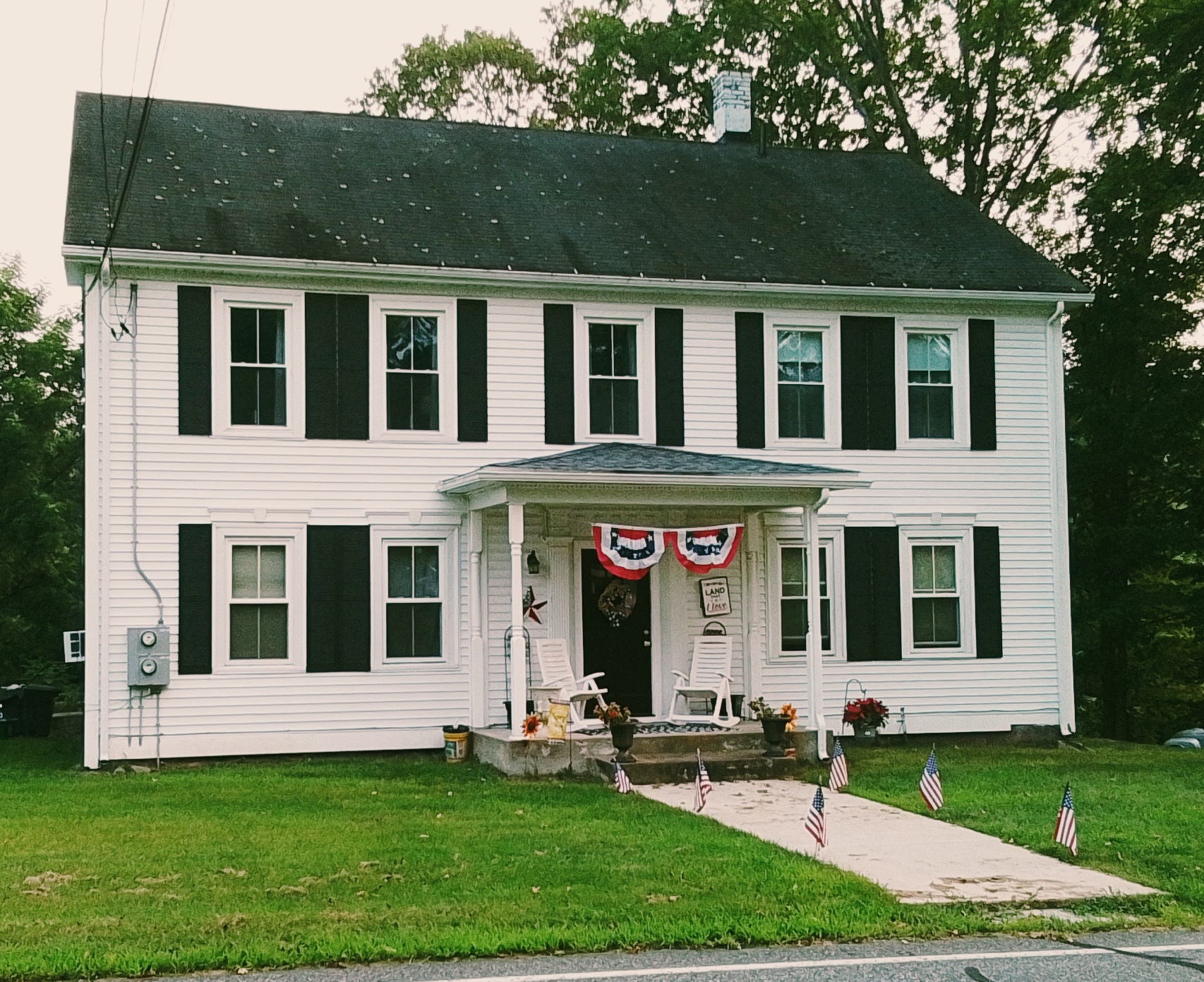
1067 South East Street is from 1770 and is now a parsonage for the South Congregational Church – FINDAGRAVE

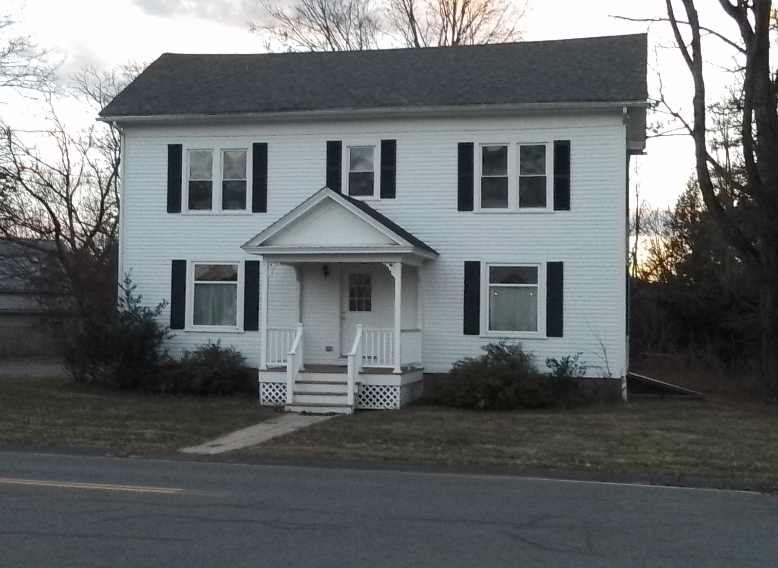
1081 South East Street is from the 1800s – no history link

In the southeast section of the South East Street to Station Road quadrant:

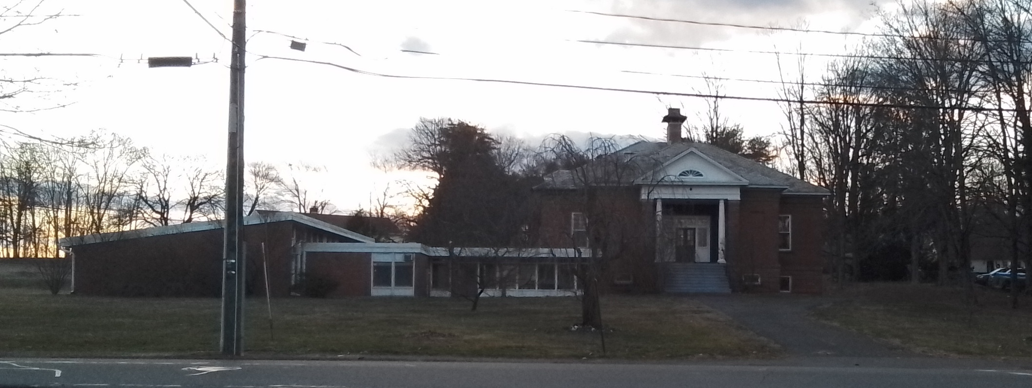
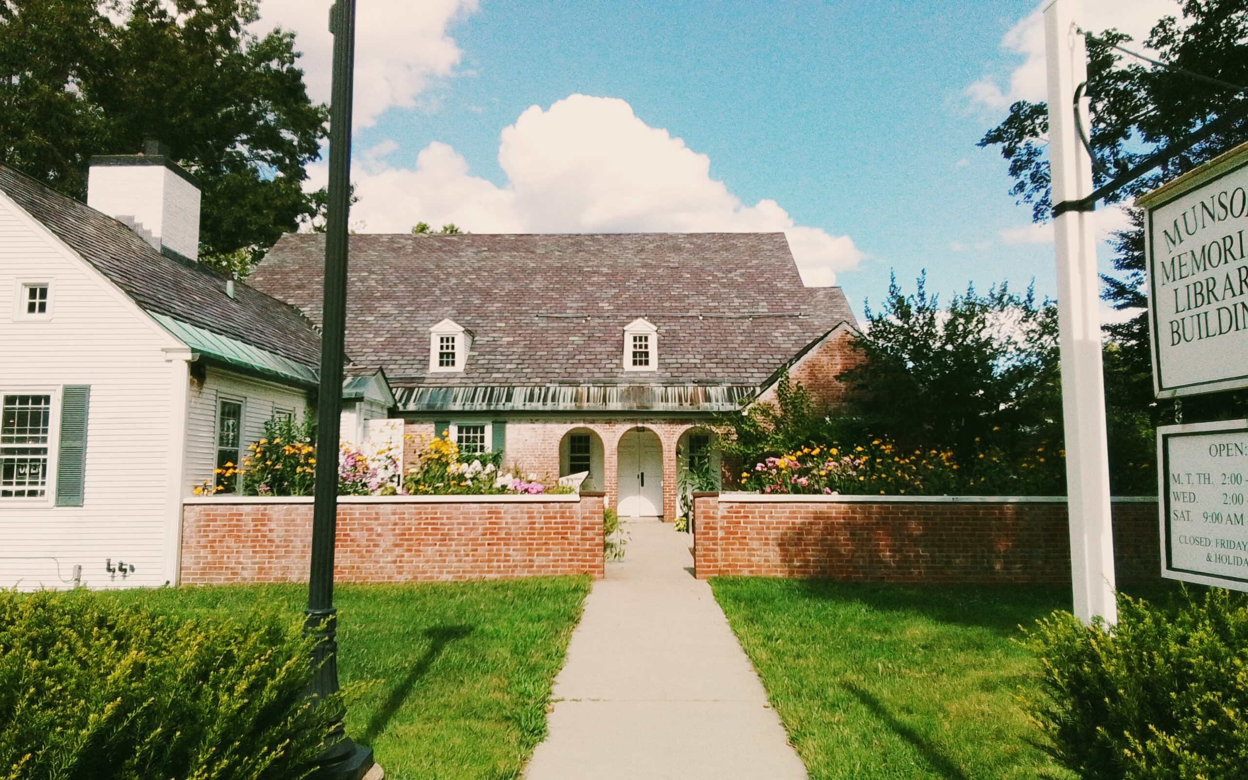
At 1046 South East Street is the Munson Memorial Library

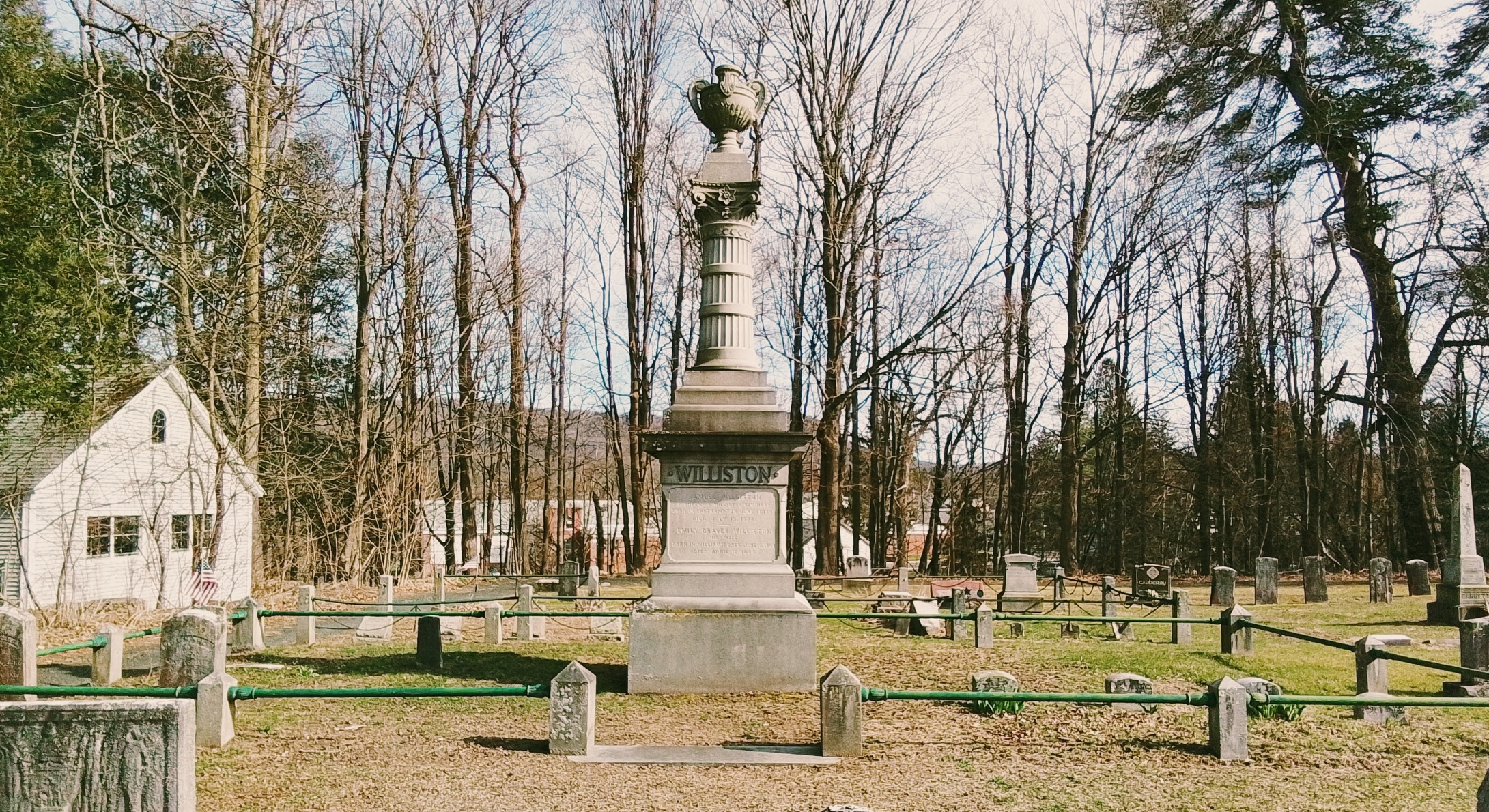
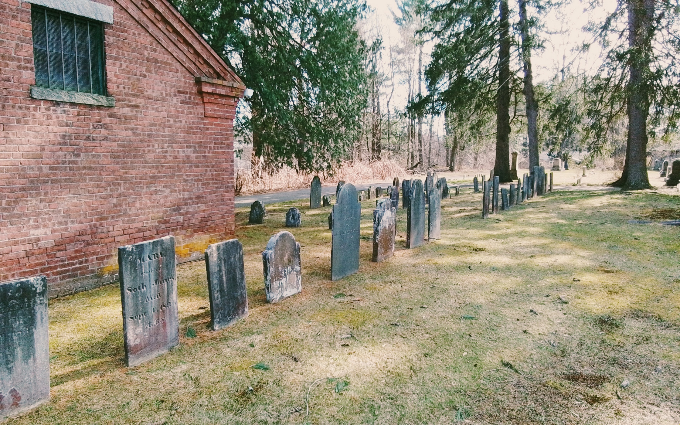
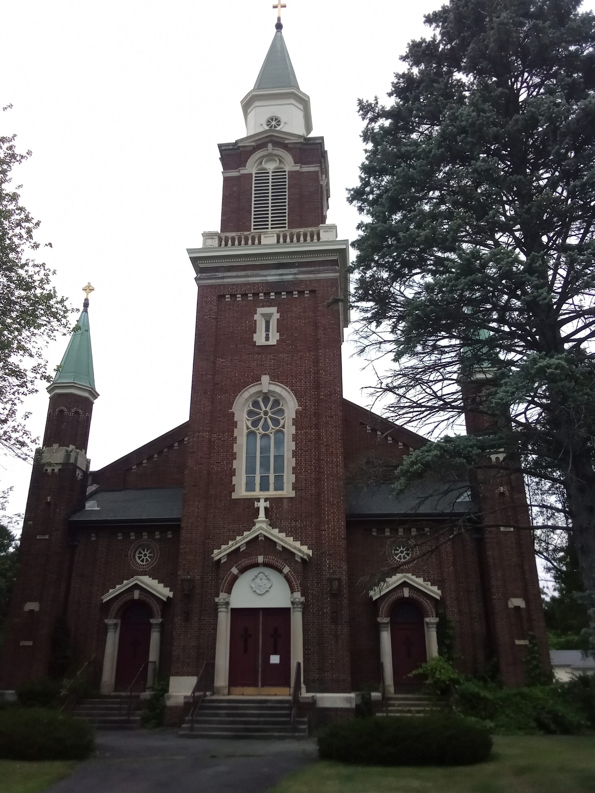
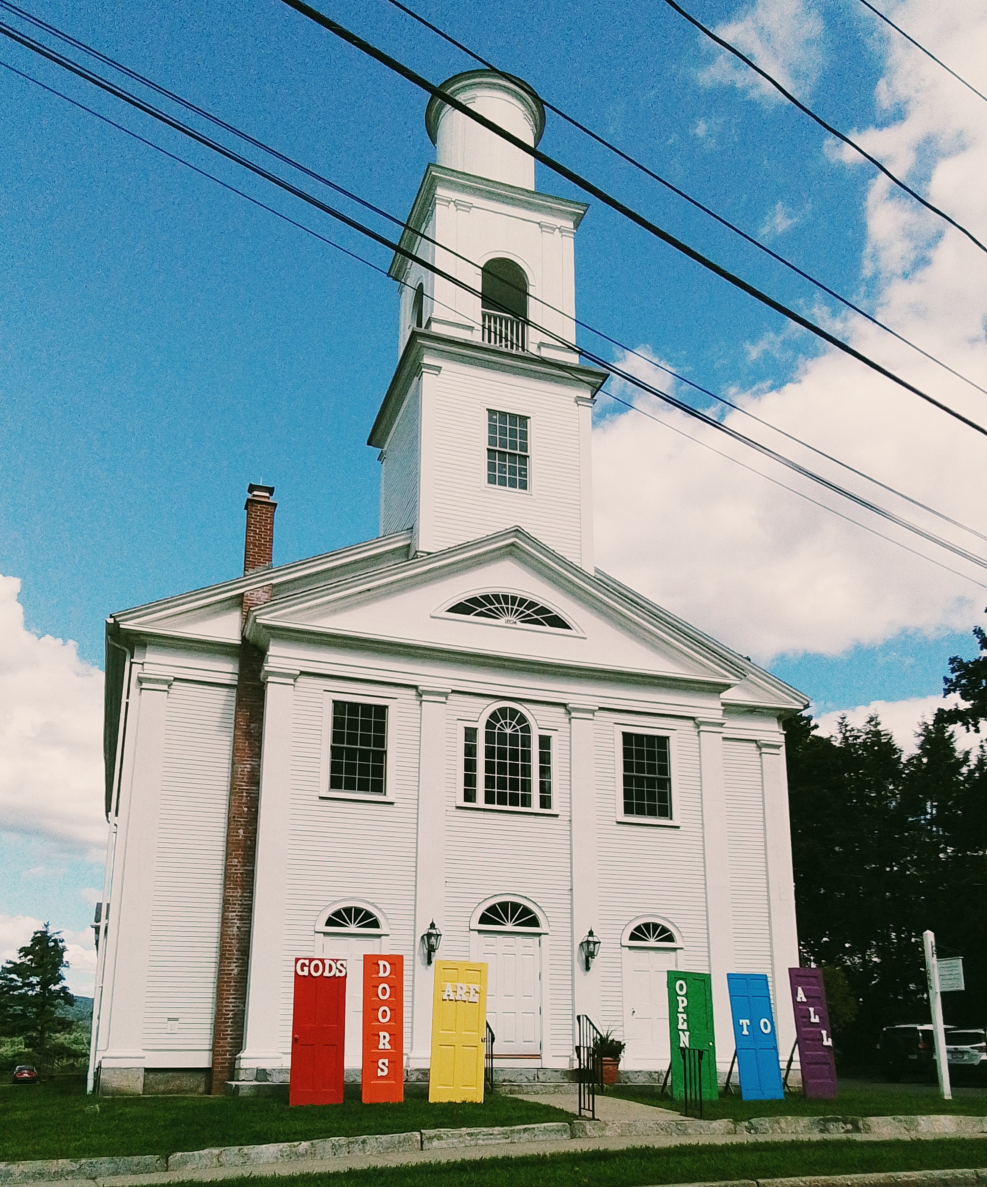
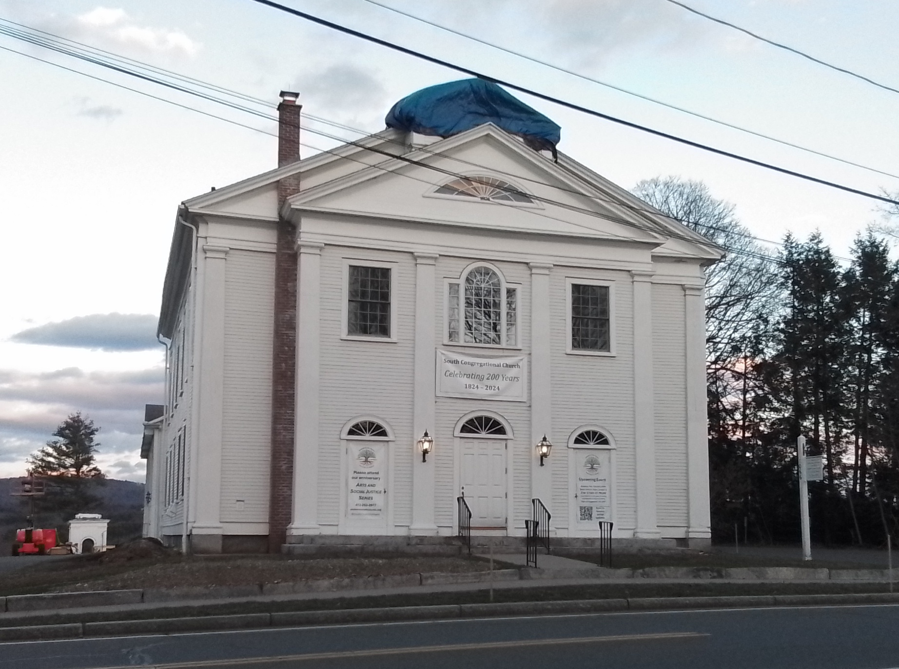
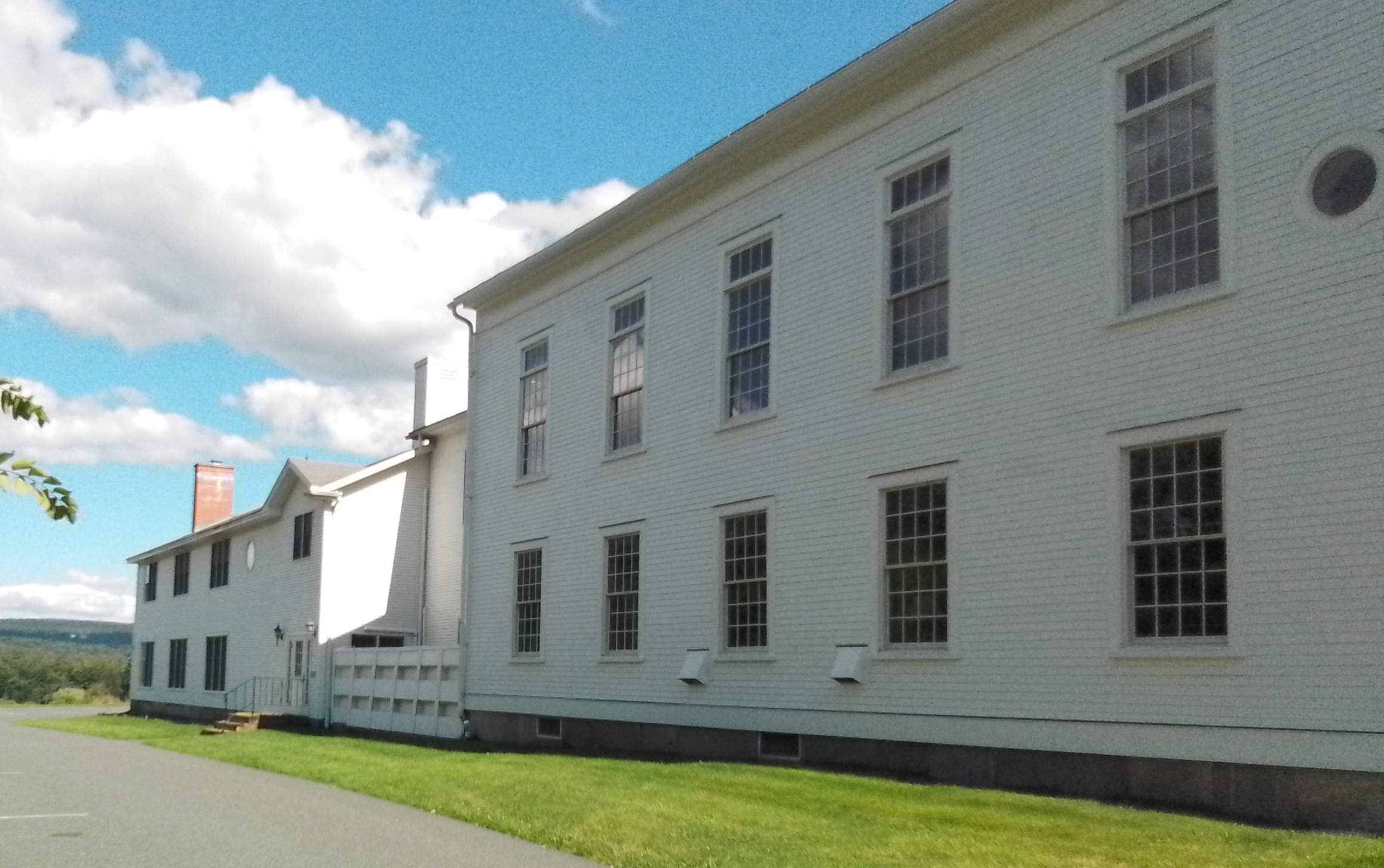
At 1066 South East Street is the South Amherst Congregational Church from 1825.

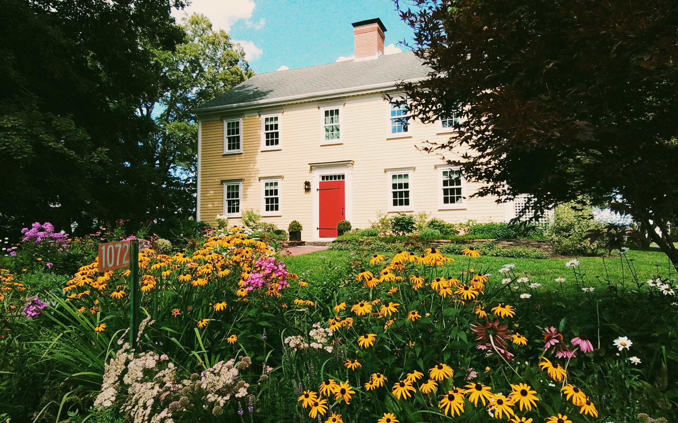
At 1072 South East Street is the Elisha Smith house from 1805. – FINDAGRAVE

In the northeast section of the South East Street to Station Road quadrant:

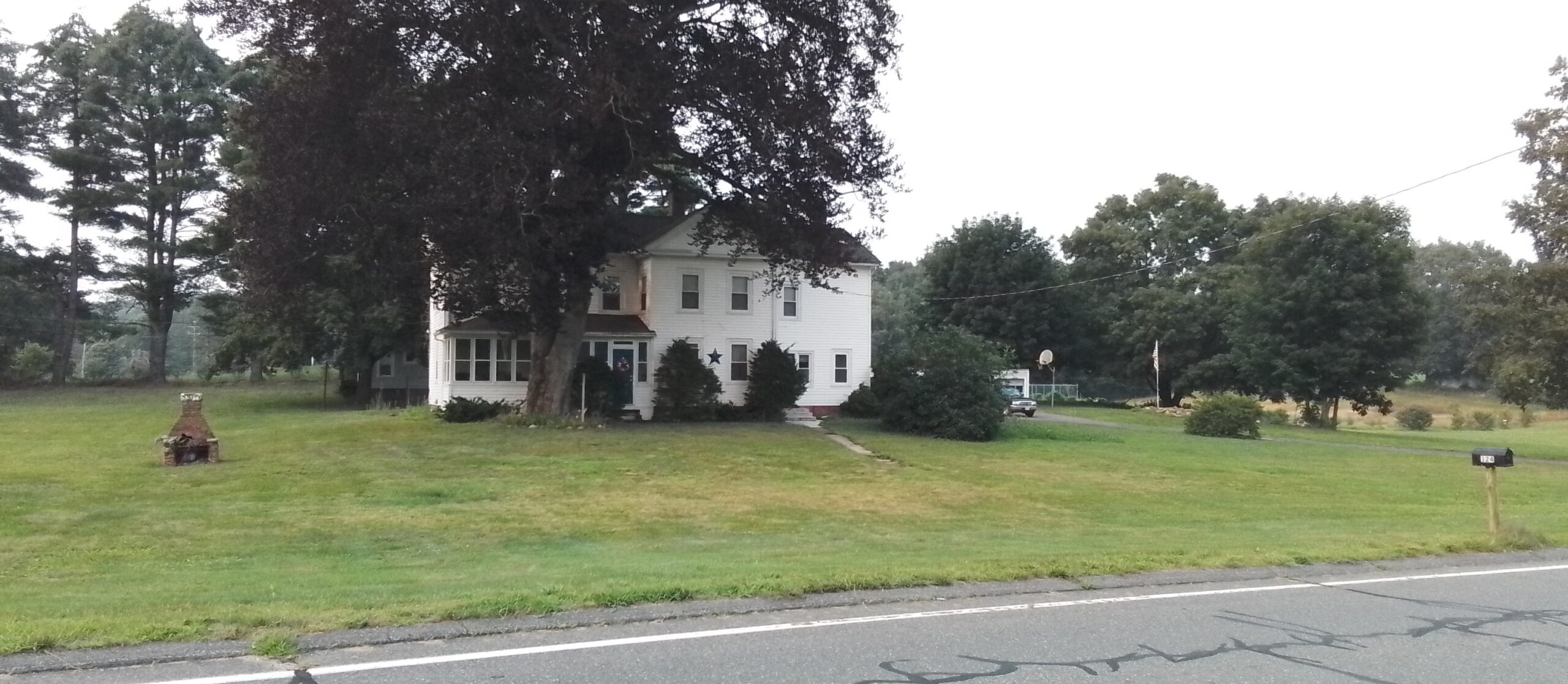
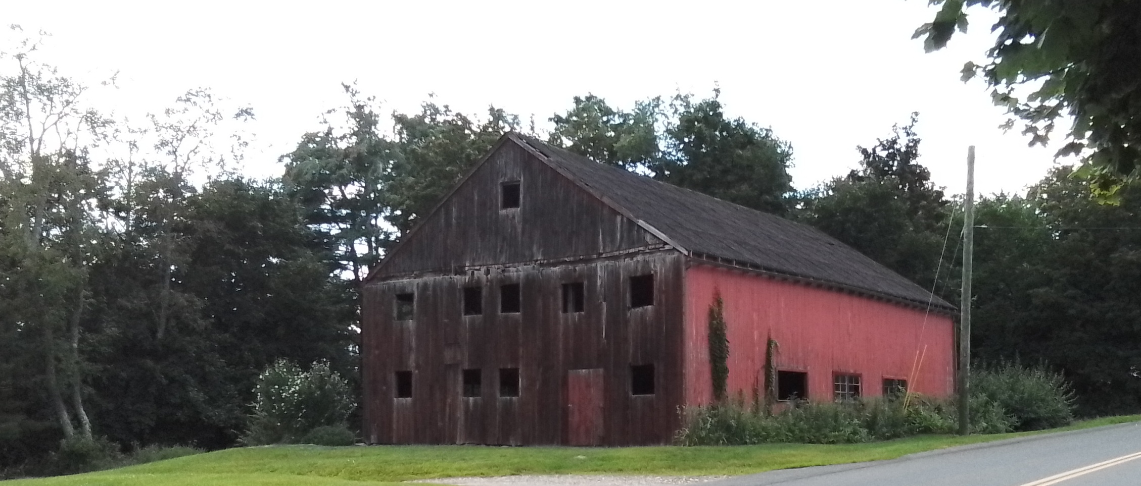
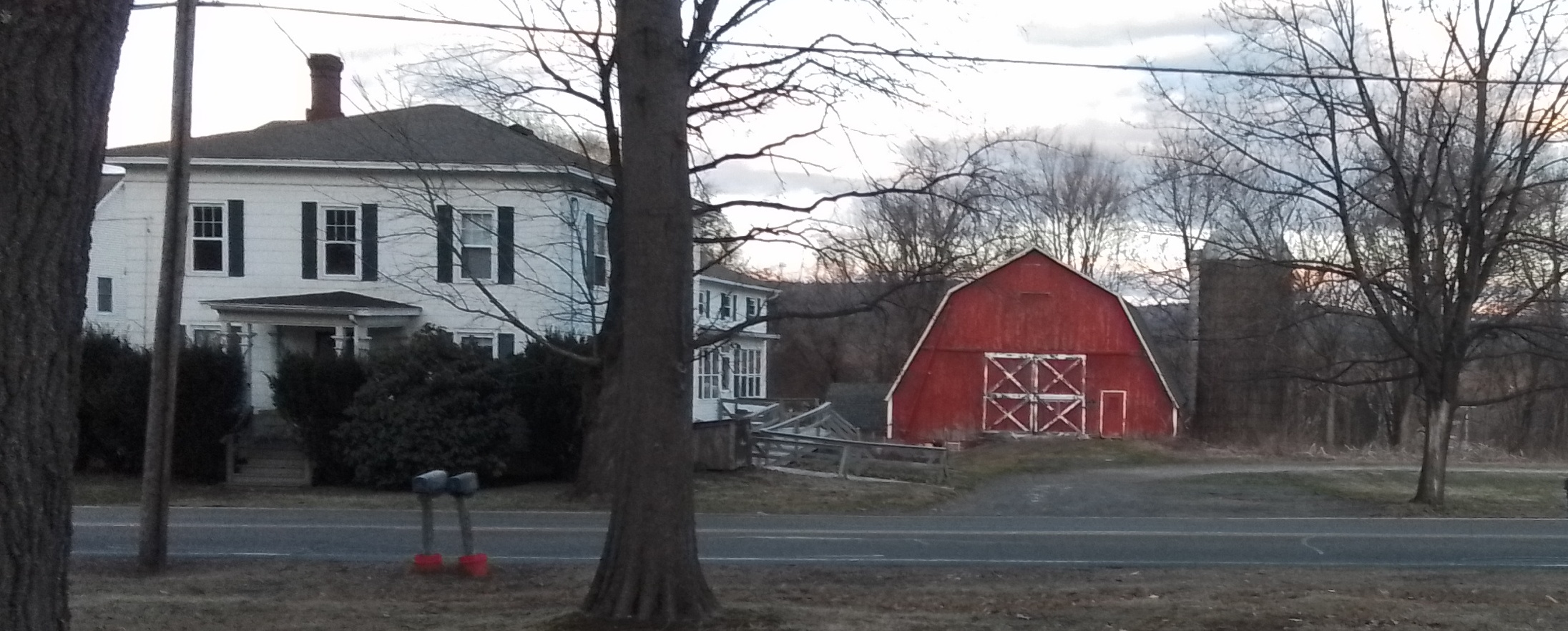
986 South East Street is the Amherst Town Farm and William Chaffee farm. The red barn to the far right is the town barn.

Outside the zone:

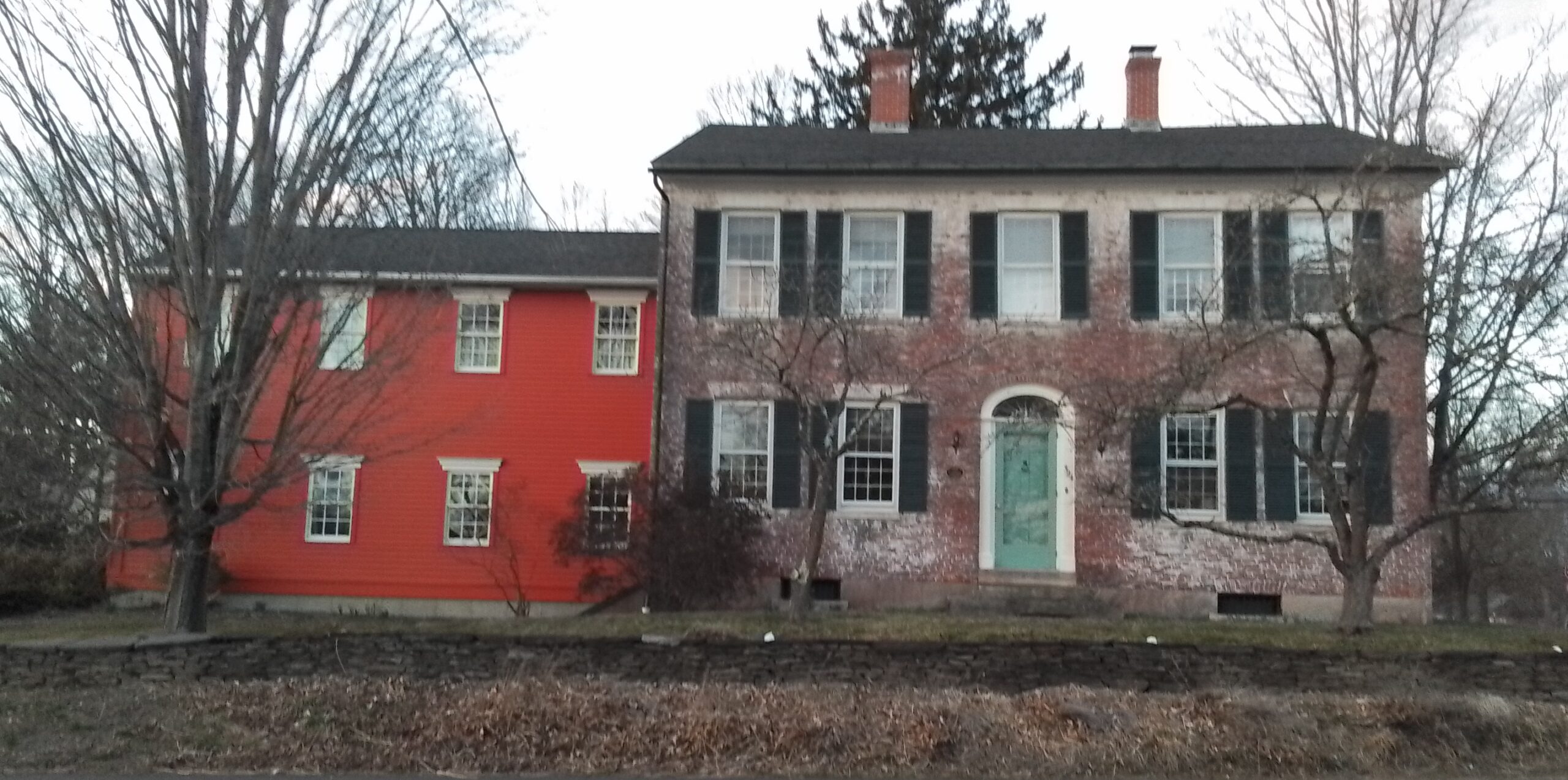
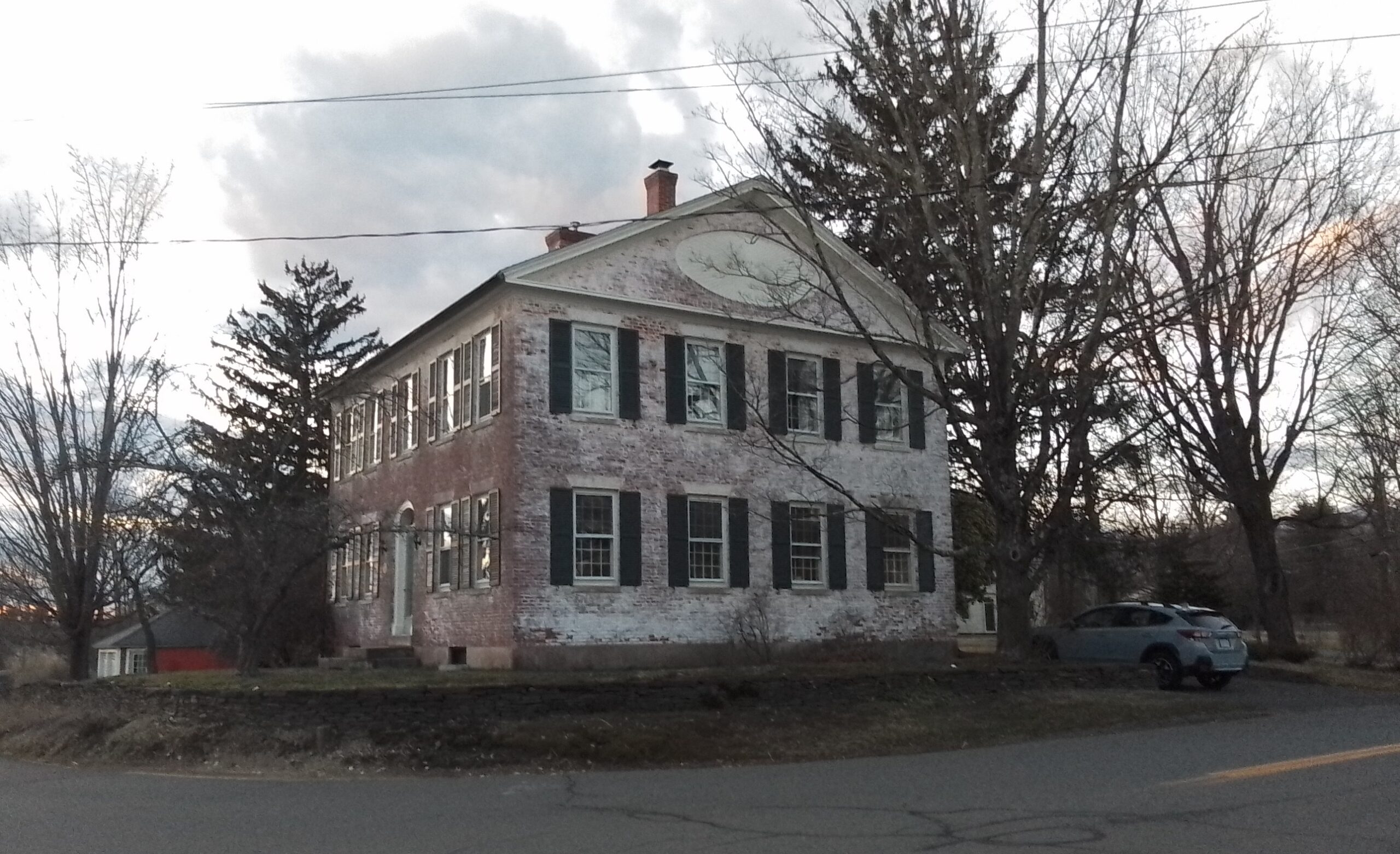
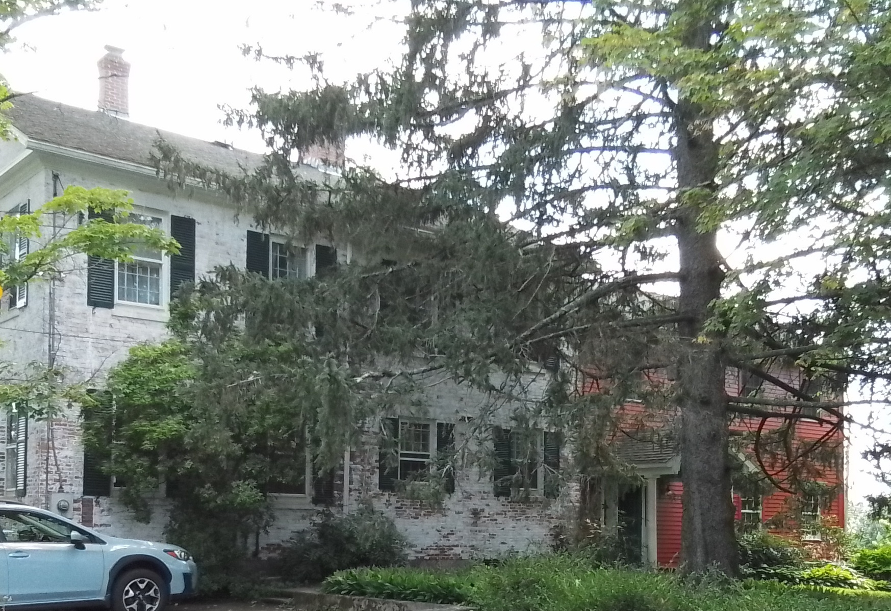
101 Middle Street has the Smith and Bridgman house from the early 1800s.

Sanborn maps did not extend to here.

Main Street Cemetery (Easthampton)

Main Street Cemetery (Easthampton) is most likely from about 1770. Thus it has many old burials. It is on Main Street near Glendale Street.

FINDAGRAVE

Samuel Williston

Luther Clap

Disinterments from the Old Center Cemetery

There was once an older cemetery in Easthampton and it was across from the Williston Seminary. It started about the 1750s and lasted to about 1865 when it was moved into this cemetery. There are positioned around the holding tomb in the back of the cemetery.

Seth Janes

Lucy Pomeroy Clap

Miriam Hannum

Luke Packard

Cremation area

CPA of Easthampton

Ford plot

Ferry family plot

Maj Jonathan Clap

and spouse Submit Strong Clap

Lieut Asahel Clark

Benjamin Clap

Nonotuck Park

Nonotuck Park is a large park in Easthampton Massachusetts. Two brooks flow through it – White Brook and Broad Brook. It has many features both within the park and just outside the park.

Daley Field

This land was purchased in 1923 for a new public field. Daley Athletic Field was dedicated June 14 1925. WPA projects in the park include the stone posts, the rest rooms, improvements to the baseball diamond, and walkways.

Nonotuck Park –

Playgrounds

Toteman Nature Trail

FINDAGRAVE

the Frederick Kaczynski memorial is nearby

Baseball Fields

Pavilion

Galbraith Park –

Nashawanuck Pond – This is a reservoir since it is dammed and would not exist without being so. It was once called Upper Mill Pond.

External LINK on the pond

Brookside Cemetery – The cemetery is from about 1874. LINK

White Brook –

Whitebrook Middle School –

Broad Brook –

Neighborhood of the Park –

Water Lane – This street on the eastern side of Nashawanuck Pond had a boathouse, clubhouse, and a beach.

Lower Mill Pond

Park in Millside Park.

Lower Mill Pond is a reservoir in Easthampton that has old mills and workers’ homes along it. The Williston Mill is still there but has added to it the Hampton Mills. Along the western edge of Lower Mill Pond is the former West Boylston Mills. The first workers’ homes New City are bounded by Emerald Place, Ferry Street, and Parsons Street. The second workers’ homes Hampton Terrace are off Pleasant Street between the Pleasant Green and Terrace View. The third workers’ homes Everett Street Village are on Everett Street and Grant Street.

stop 0 – Lower Mill Pond

stop 1 – Back of the West Boylston Mills

mill
11902Advertising Corp of America
21931
31901Paragon Rubber / American Character Doll
41907mostly Lesnow
51912
61916Stanley Home Products
71916wastehouse
81916storehouse
9recent

stop 2 – Front of the West Boylston Mills

stop 3 – Hampton Terrace and Pleasant Green

Most of these homes are from 1920.

stop 4 – Williston Mill

1895

stop 5 – Hampton Mills

stop 6 – Lower Mill Pond Dam and the Broad Brook

The Broad Brook is dammed at this location. Thus Lower Mill Pond is a reservoir. The water is diverted into the tunnel to the right and meet the powerhouse there.

stop 7 – New City

The oldest homes are 1860s and are located on Ferry, Emerald, and Lincoln. When West Boylston arrived they made more in 1903 – on Harrison and Oakdale. Later in 1920 more were made – on Dartmouth, Exeter, Federal, and Clinton.

stop 8 – Everett Street Village

This Everett Street area was constructed in 1917 to 1918 as homes for mill workers.

Sanborn
1884 to 1902all nothing
1910nothingnothingnothingNew City
1916WB MillsWB MillsFerry St MillsNew City

Skinner Silk Trail

The Skinner Silk Trail is a composite of the institutions that define the Skinner family of Holyoke and South Hadley. It follows the important sites that William Skinner and then Joseph Skinner created and lived in.

institutionlocationTOUR LINKExternal Link
WistariahurstBeech Street in HolyokeTOUR LINKlink
Skinner ChapelMaple Street in HolyokeTOUR LINK (last stop only)link
Holyoke Heritage State ParkAppleton Street in HolyokeTOUR LINKlink
Skinner State Parksummit of Mount Holyoke the mountainTOUR LINKlink
Mount Holyoke CollegeCollege Street in South HadleyTOUR LINKlink
Orchards Golf CourseSilverwood Terrace in South HadleyTOUR LINKlink
Orchards (home)Woodbridge Street in South HadleyTOUR LINKlink
Joseph Skinner MuseumWoodbridge Street in South HadleyTOUR LINKlink
Williamsburg Historical SocietyMain Street in WilliamsburgTOUR LINKlink
TOUR LINKlink

The Second Parish Neighborhood of Granby

The Second Parish Neighborhood of Granby was at the corner of West and Amherst Streets. There at the northwest corner was a meeting house.

130 West Street (at the NW corner of Amherst and West Streets) – Levi Smith house and tavern from the 1760s – Georgian style

129 West Street (at the SW corner of Amherst and West Streets) – Azor Moody and Clarissa Hayes – Azor Moody Store and Button Factory – early 1800s in Federal Style – later owned by Frederick Taylor who owned a paper mill on Aldrich Lake – his son Joseph Knight Taylor would died in the Civil War (FINDAGRAVE)

124 West Street (at the NE corner of Amherst and West Streets) – Timothy Smith and Hannah Moody – FINDAGRAVE

96 Amherst Street (at the SE corner of Amherst and West Streets) – Reverend Eli and Hannah Moody – this is the parsonage of the West Parish Church – 1830

86 Amherst Street (one house in from the SE corner of Amherst and West Streets) – Chester Smith and Sophia Clark – FINDAGRAVE – house is 1806

Notre Dame du Bon Conseil Church

Notre Dame du Bon Conseil Church is in Easthampton Massachusetts. This church was founded on November 18 1906 with its first church at 92 Union Street. The rectory was at 68 Union. The church is now at 33 Pleasant Street having moved there in the 1920s. The founder and first pastor was Joseph I Lord who served from 1906 to at least 1910. The third pastor was Rev J P Bourassa who was there in at least 1920. The pastor Ambroise Buisson was there in at least 1930.

stop 1 – Notre Dame du Bon Conseil Church

stop 2 – Notre Dame du Bon Conseil Convent

Built in 1948 to replace one on Union Street which was from 1908. That 1908 was a house that served as both school and convent. In the 1980s this 1948 convent would become the rectory.

stop 3 – Notre Dame du Bon Conseil School

Built in 1948 to replace one on Union Street which was from 1908.

Sanborn map analysis:

1895 map

1902 map

1910 map

1916 map of Union Street

1916 map has nothing on Pleasant Street.