The Whiting Street Reservoir tour booklet is available from me. They cost $5 for a black-and-white stapled copy. Each additional copy after that is $3 more when shipped together. For a color copy, the cost is $8 and each additional copy in color is $6.
Email me from my contact page for details. The booklets that you order will be mailed to you via USPS so I need a physical address. Other booklets are available at the BOOKLET page. Follow the tour at LINK
The Ashley Reservoir walking tour booklet is available from me. They cost $4 for a black-and-white stapled copy. Each additional copy after that is $2 more when shipped together. For a color copy, the cost is $6 and each additional copy in color is $4.
Email me from my contact page for details. The booklets that you order will be mailed to you via USPS so I need a physical address. Other booklets are available at the BOOKLET page. You can follow this tour at LINK.
Tour booklets are available for a few tours. These are at different prices so click on the needed tour below. If it is not clickable, then the booklet will be coming soon this year. For SOUTH HADLEY walking tour booklets. For CHICOPEE walking tour booklets.
Ball Block and Building was started by Charles Ball. The block is located at 223 – 227 High Street in 1898 and the building at 211-215 High Street in 1870. The block is done in the Italian Palazzo style.
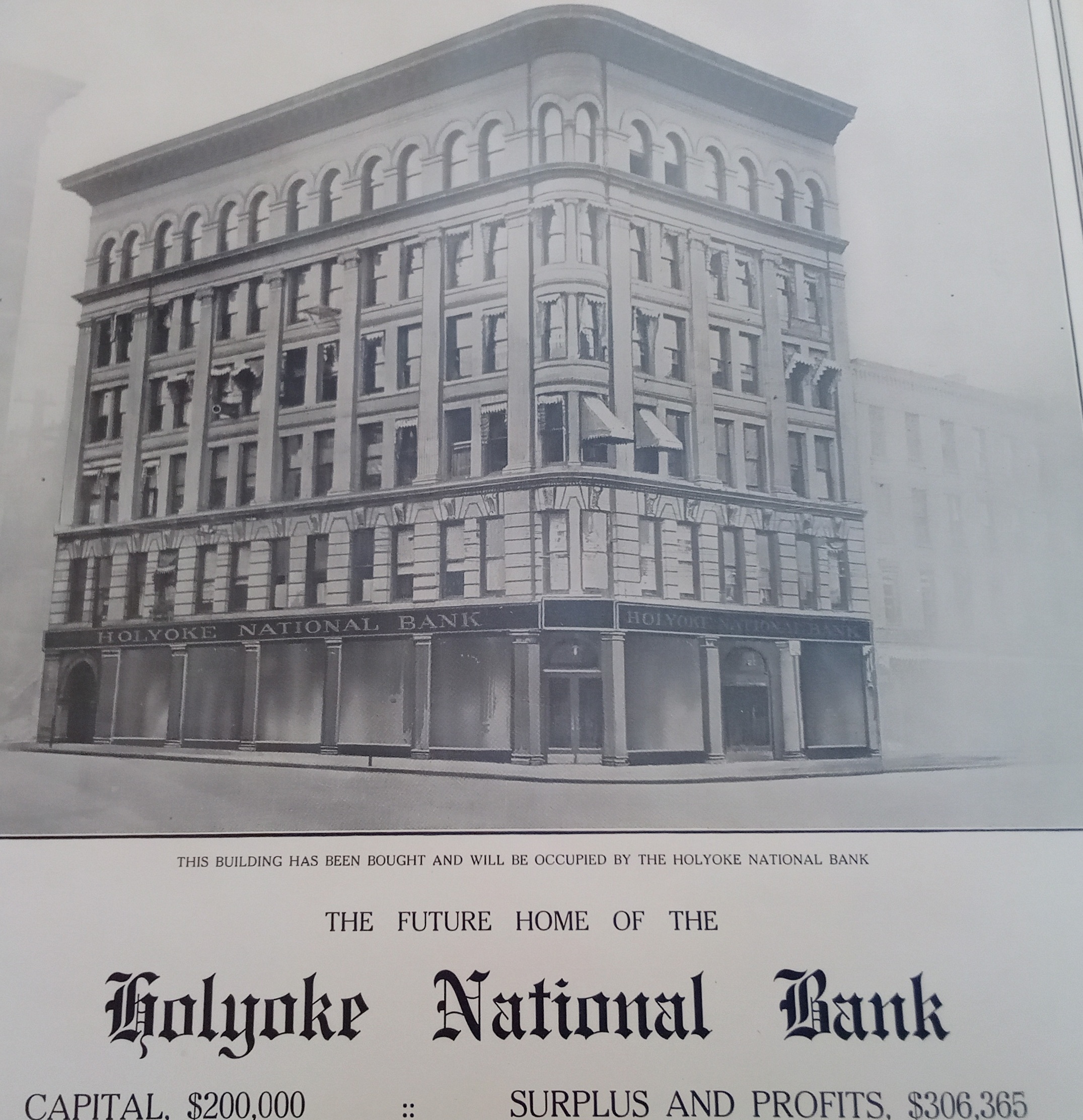
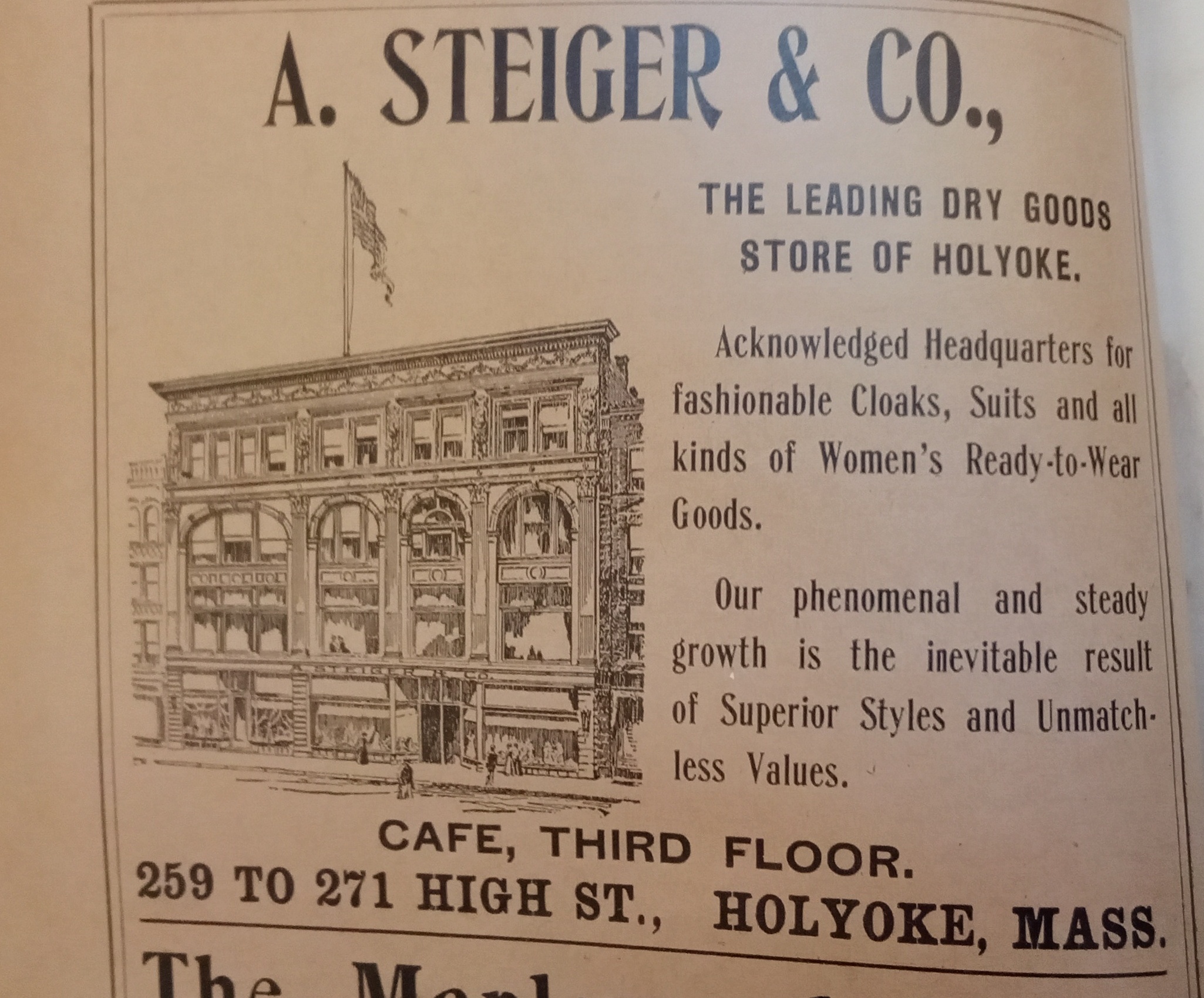
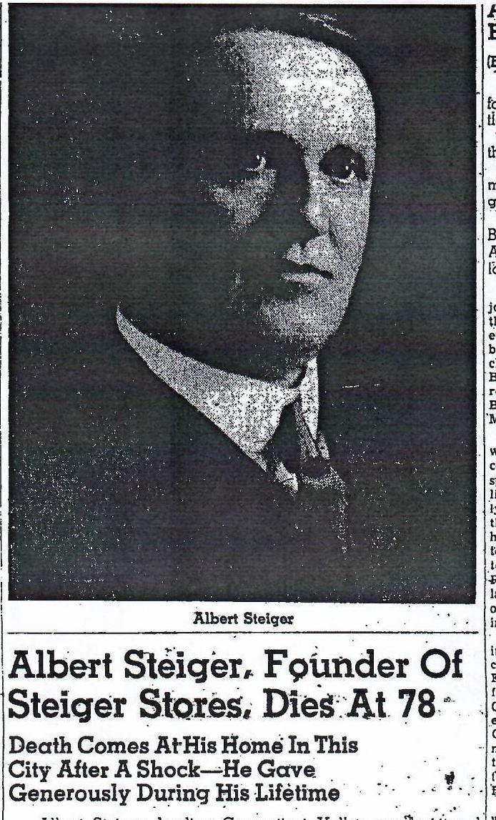
The Steiger Building is from 1899. It is located at 259-271 High Street. It was started by Albert Steiger the department store magnate. The building was made in the Beaux Arts style as was the Childs and the Woolworth’s Building.
In 1896 Steiger’s is at 215 High Street. They moved to the new location and started to grow fast. There they have 50 feet of frontage and 12 thousand sq ft. In 1901 they buy Fay and Shumway Shoes at 269 High Street. This block is easy to see since the Beaux Arts style changes as you look from right to left across the facade of the building. (They have at that point 73 feet of frontage.)
In 1920 Steiger buys the Howard Apartment Block behind the store and changes it into a parking lot. In 1922 (or perhaps earlier) Steiger has a lease on the three upper floors at Childs. In 1923 he buys the Taber Block. Both they last two locations have break throughs into the blocks on every upper floor. In 1954 the Steiger firm buys the former Woolworths Block. This now gives them 127 feet of frontage and 75 thousand sq ft. In 1984 due to lack of sales Steigers closes the High Street store.
Steigers grow throughout southern New England. There were Steigers in Holyoke, Springfield, and Hartford. Steiger-Schick was in Port Chester New York. Steiger-Dudgeon was in New Bedford. Steiger-Cox was in Fall River. Poole Dry Goods was in Springfield.
Albert Steiger also had a home on Mountain View Drive that had its landscape designed by the Olmsted Brothers from 1924 to 1926.
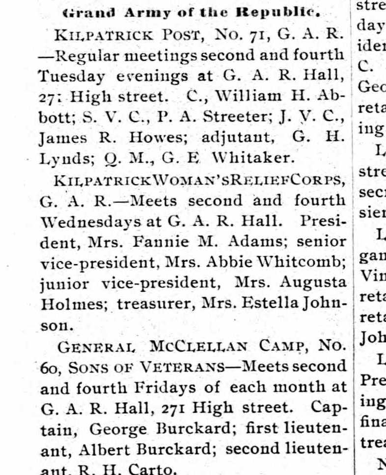
The Grand Army of the Republic Hall was here at 271 High Street in 1900.
Also the Daughter of St George met here in 1900.
In 1922, Holyoke Post Office Substation number 4 was inside Steiger’s.
Sanborn 1889 map shows a 1 story and a 4 story called the Preston Block
Sanborn 1895 map shows a 1 story building where Steiger’s would be with a 4 story building to its left. Perhaps they added 3 floors to the smaller one and put a new facade on all. It is still called the Preston Block.
Sanborn 1915 map shows that he had already bought out the Childs building and connected it on the 2nd to the 4th floors.
Sanborn 1949 map shows that Steiger’s Department Store now had grown over to the Frank Taber with connection on the upper floors
Sanborn 1956 map show that they took over the Woolworth’s Building during the 1950s and connected all three upper floors
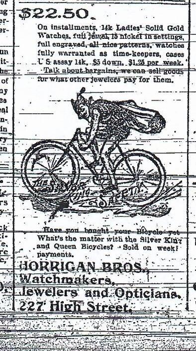
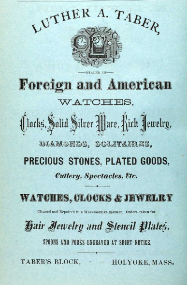
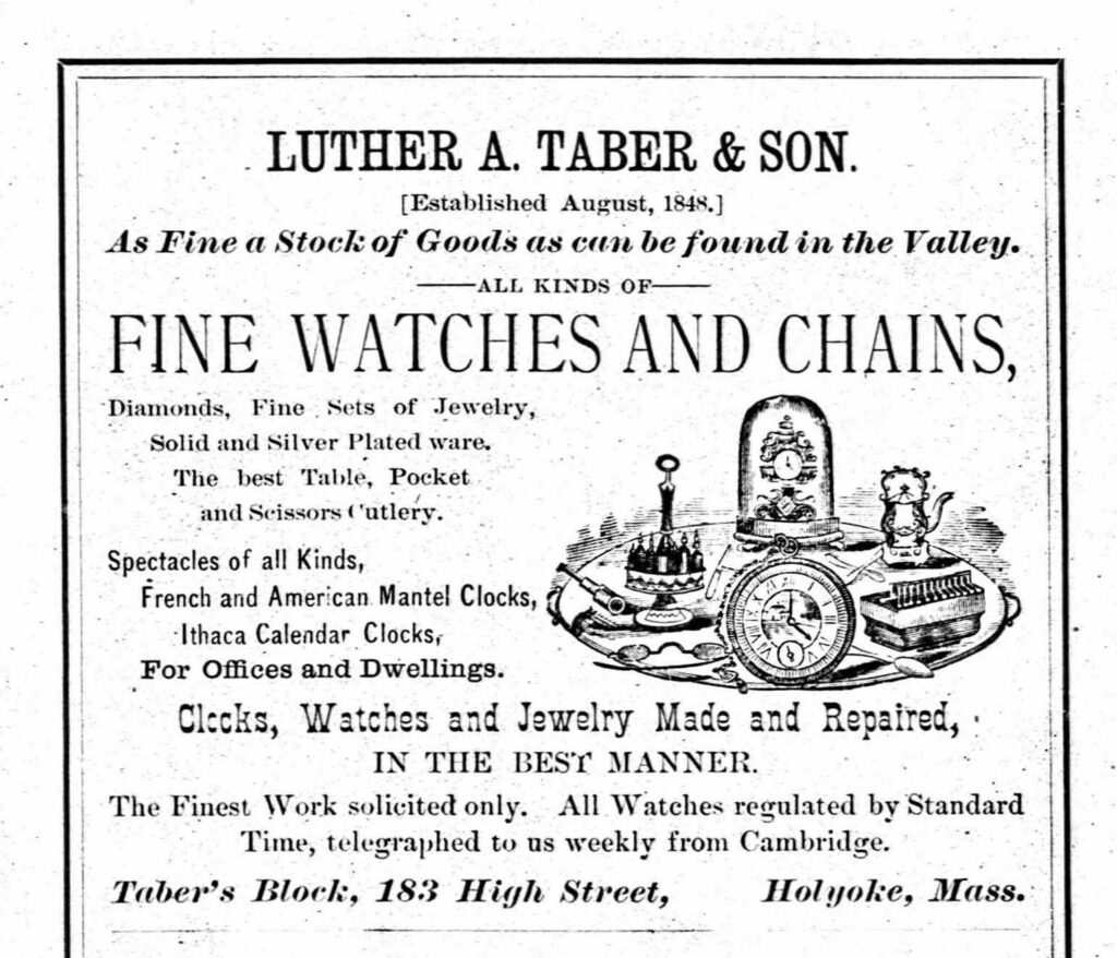
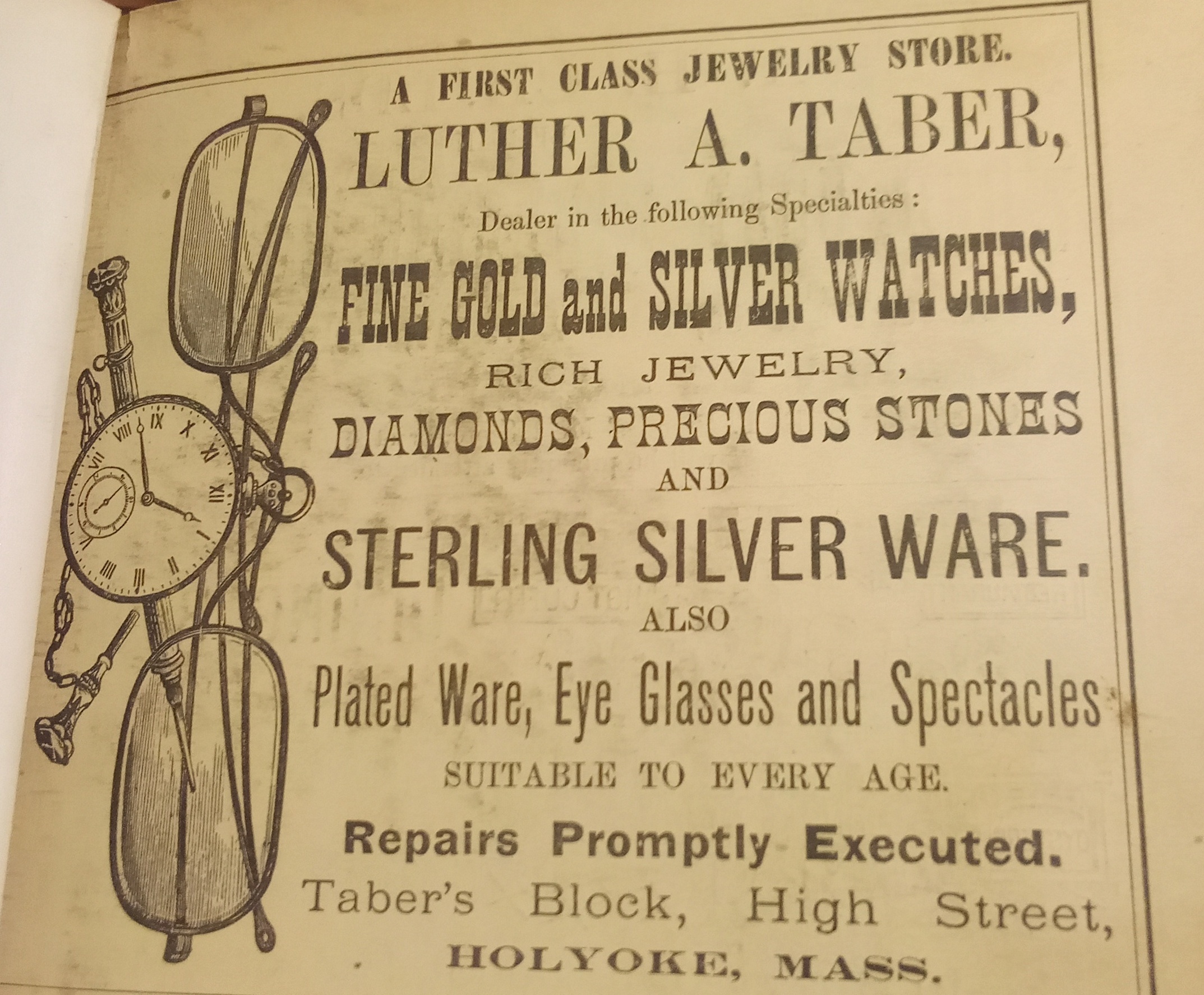
Luther Taber was a jeweler that moved to Holyoke in the early 1840s. His building was at 181-183 High Street. His son started another jeweler business at 281-283-285 High Street. Luther’s grandson Donald Taber was president of Ampad for 40 years.
His ads are always colorful. This next is his 1900 ad.
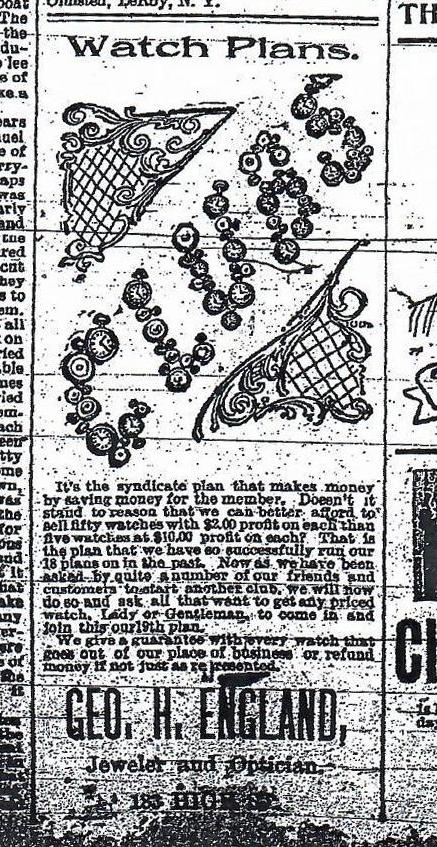
For a while in the early 1900s there was a George England there.
By 1900 and lasting to at least 1915 the Smith Brothers jewelers had taken over and it was being called the Smith’s Block.
Sanborn map analysis:
Sanborn 1884 map – Taber has jewelry store on first floor and a dress maker is on the 2nd floor
Sanborn 1889 map – Taber has jewelry store on first floor and a dress maker is on the 2nd floor


