
Homestead Avenue Neighborhood of Holyoke
Community and Anniversary Fields
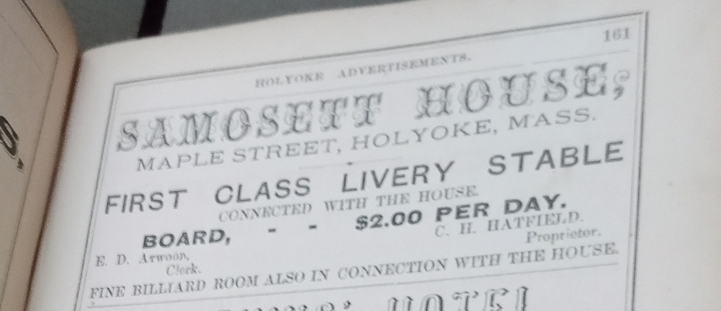
Samosett House
The Samosett was opened on April 8 1850 or so. It was a hotel in the beginning and had 50 rooms. The parapeted cornice is quite unique.

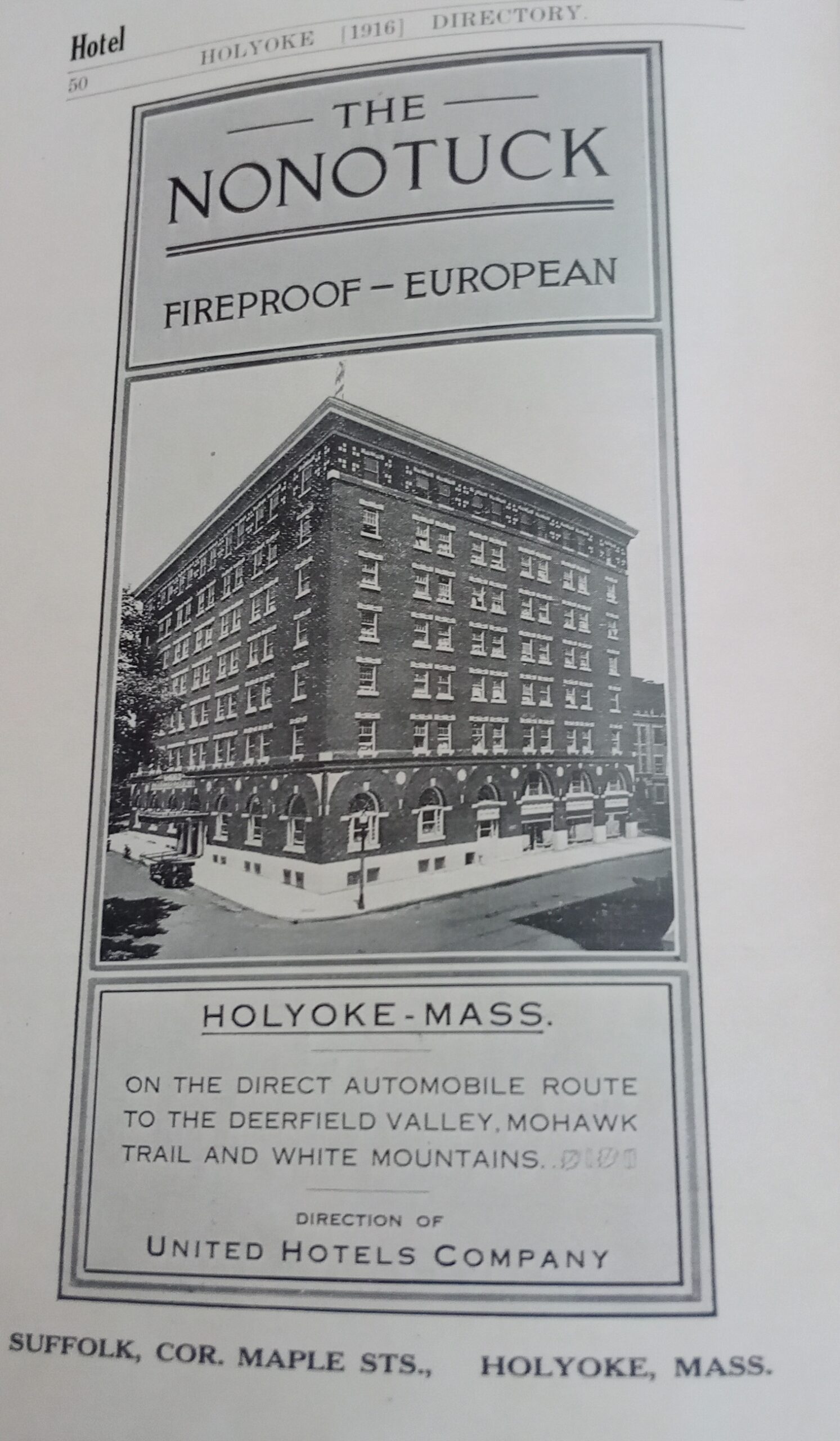
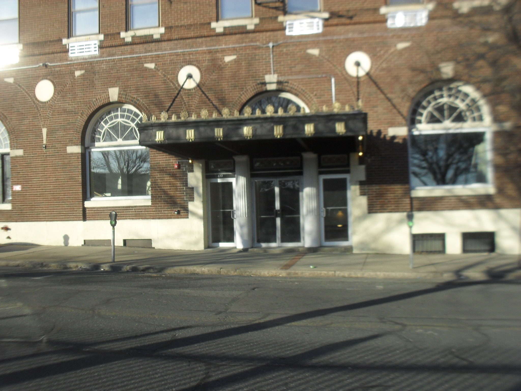
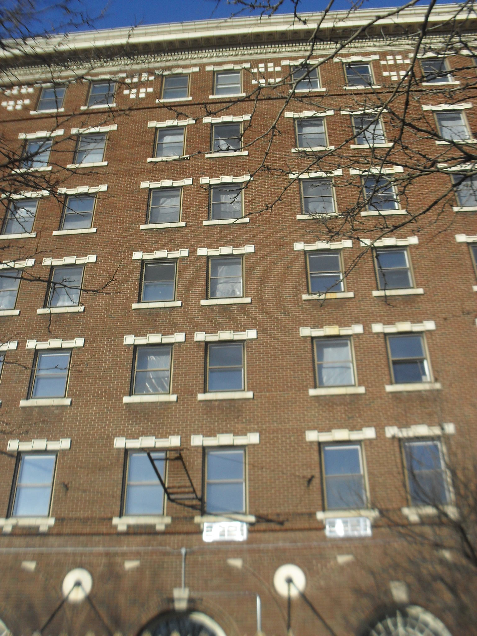
Nonotuck Hotel in Holyoke


Lower Riverside Park in South Hadley
(Click link to above for information.) In 1805 the Bardwell Canal and Dam were built in this place. (LOCATION) It fed water into the small mills that lined the banks. These were small sawmills and gristmills. There were about 11 such mills at one time.
| number | type | product | name |
| 1 | saw mill | cut logs | Philip Smith |
| 2 | grist mill | ||
| 3 | plaster mill | grounded rocks | Zenas Church |
| 4 | oil mill | cotton and flaxseed | Obed Carpenter |
| 5 | shingle mill | sliced logs | Philip Smith |
| 6 | wool mill | carding wool and coloring cloth | Asa Nash |
| 7 | |||
| 8 | |||
| 9 | |||
| 10 | Howard and Lathrop Paper Mill | ||
| 11 | Ames Paper Mill |
The Howard and Lathrop Paper Mill started here in 1824 and lasted until a fire in 1846. From 1824 to 1846 the Ames Paper Mill was here. The Ames made the first device that mass produced paper. Ames was northeast of the Howard and Lathrop by a bit. In 1848 the Glasgow Gingham Mill was built here. It lasted until 1896 when it closed due to lack of profit. The Hadley Mill of Holyoke purchased all in 1903 and lasted until 1930. Then Holyoke Water Power bought it and razed it in 1935.

Glasgow Workers’ Homes in South Hadley
The Glasgow Workers’ Homes line the eastern side of High Street. (LOCATION) There are 12 buildings that were made in the same format. The only house in that line that is different used to be a store and a post office.
The list of the postmaster in South Hadley Canal or Falls is at the link POSTMASTERS

South Hadley Canal
Walk north along Canal Street a bit more. There is a concrete block that had a metallic map of the canal system on its top. Follow the trail north into the woods. (LOCATION) The canal is at the end of this path. Finally you can see remnants of the South Hadley Canal. You can see Cove Island out in the water.
Walk farther down the path and you will find another information stop. This one explains the Incline Plane and the lock system. The canal is about half way through its 2.5 miles length. You can keep walking along the tow path for a half mile or so. There is even a path on the other side that you can walk on.
Canal boat were flat bottomed boats that held the cargo ships on their tops. Men or horses would pull the boats up or down this navigational canal. Pilots on calm days would navigate the canal/ The captain of a boat was not allowed to navigate the canal themselves but rather were required to have the canal pilot do it. From the end of the central part of the canal it is another mile to the northern start of the South Hadley Canal. To get there drive north on Canal Street and take a right onto West Summit Drive. Then take a left onto North Main Street. Take the first left onto River Road. Drive for about a mile until you reach the Locktender’s House at 315 River Road.
This for use by the locktender of the canal. Here were two more locks that raised the boats to the height of the canal water.


Hadley Falls Bicentennial Park
When you are on the deck at the Hadley Falls Park (LOCATION), look sharp to your right along the riverbank. The watercourse that is along the river at this point is the cove portion of Cove Island. It is not the South Hadley Canal yet. We will go down to the canal. Along the way you will pass a memorial to John Kuzma. He died in Vietnam in 1966 and is buried in the South Hadley Falls Cemetery.


Incline Plane of the South Hadley Canal


