
- Low cost booklets for this tour can be found at the BOOKLETS page.
- Reservoirs of Holyoke
- Private GROUP TOUR (COSTS) is two hours long for this Ashley Reservoir walking tour. Also a one hour indoor presentation can be given.
- The reservoir is NOT handicap accessible and by Massachusetts laws does not have to be. Any attempt to open the land up more will allow motorcycles to trespass.
- A free public tour comes up every year in the fall.
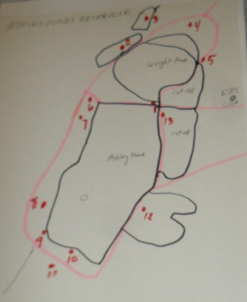
- A self-tour is available for anyone using the maps and text seen below. – LOCATION
| stop | name | notes | LINK |
| 1 | Causeway Crossroads | LINK | |
| 2 | Cedar Reservoir | LINK | |
| 3 | Clear Reservoir | LINK | |
| 4 | Entrance Gateway | LINK | |
| 5 | Rock Cut | LINK | |
| 6 | Pump Houses | LINK | |
| 7 | McLean Reservoir | LINK | |
| 8 | Old Stage Road | LINK | |
| 9 | Paucatuck Brook | LINK | |
| 10 | Ashley Gatehouse | LINK | |
| 11 | Ice House | LINK | |
| 12 | Connor Reservoir | LINK | |
| 13 | Ashley Cut-Off | LINK | |
| 14 | Ashley Pond | LINK |
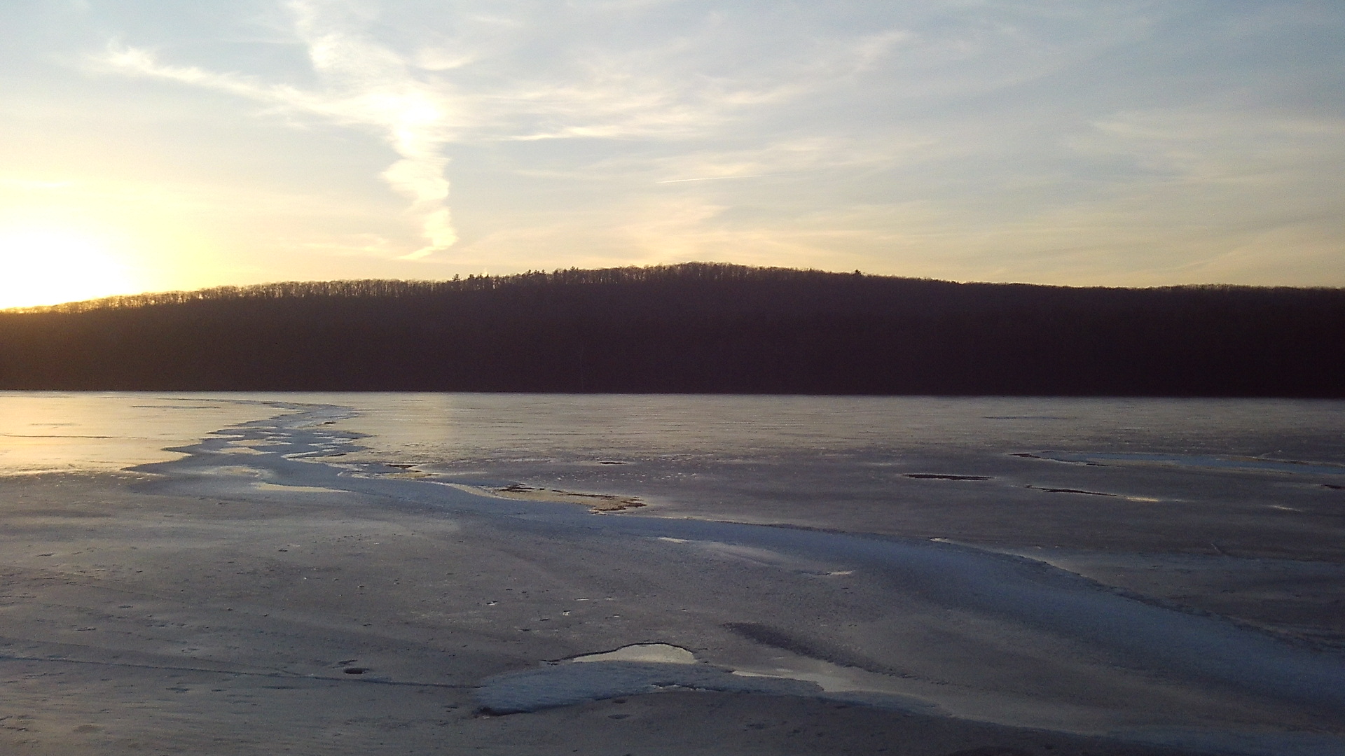
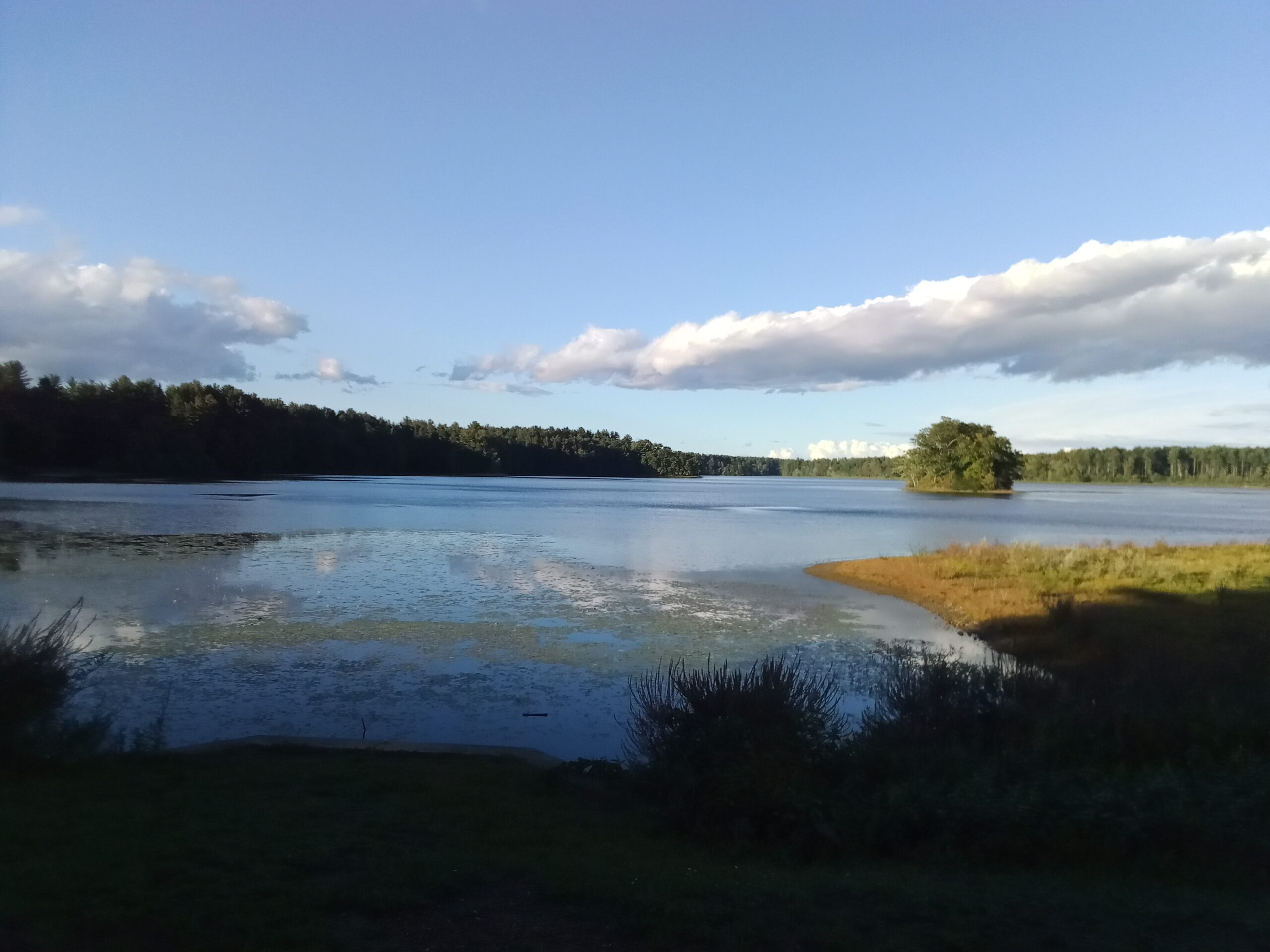
Ashley Ponds Reservoir was originally a pair of ponds in southwestern Holyoke. They were called Wright’s Pond and Ashley’s Pond. There was a need for clean water in Holyoke and thus these two ponds were made into reservoirs in 1873. Before that there was a water vat that could hold 3 million gallons at the Dillon’s Block on Maple Street. Because of the increase in population of the city and due to a small pox scare, a water board was created on March 21 1872. The Ashley Pond area was then done over with grading and dikes. No new homes could be placed into the area and when the old homes went on the market they were bought. Water from Ashley first went into the mains on August 6 1873.

The entire reservoir system is vast. Read about it at this LINK. There are many ways that you can get around the reservoir and get a good tour and hike in. Clockwise or counterclockwise. Walking on the smaller causeways and so on.

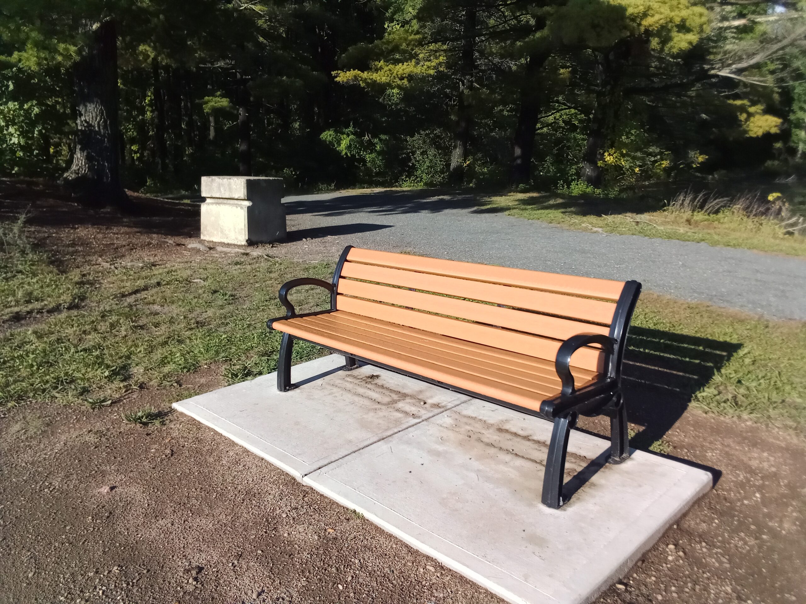
Thank you for taking this tour of the reservoir system. Take a rest on one of the benches around the reservoir and come back some time soon.
Map analysis:
