The Industrial Park on lower Appleton Street was made later in the history of the mills after electricity was invented. These mills do not need the canal power.
Sanborn map analysis:
Sanborn 1884 map – nothing
Sanborn 1889 map – nothing
Sanborn 1895 map shows the Holyoke Lead Pipe Company and the Brown Bed Comforters Mill both on Winter Street
Sanborn 1915 map shows McCormick Stone Cutter, the Perfect Safety Paper Co, and Eureka and to the north Am Pad, Holyoke Belting Co, and Smith Tablet
Sanborn 1949 map shows the Eureka Co, a lumber yard and a grocer and to the north Am Pad, Holyoke Belting Co, and Kamket Wire Binding – map B shows the Sinclair Co makers of dandy rolls
Sanborn 1956 map shows a lumber mill, sawmill, Sinclair Co, and Eureka and to the north Am Pad, Holyoke Belting Co, and Kamket Wire Binding – map Bshows the Sinclair Co makers of dandy rolls
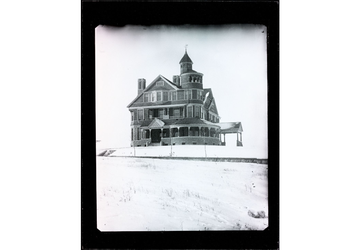
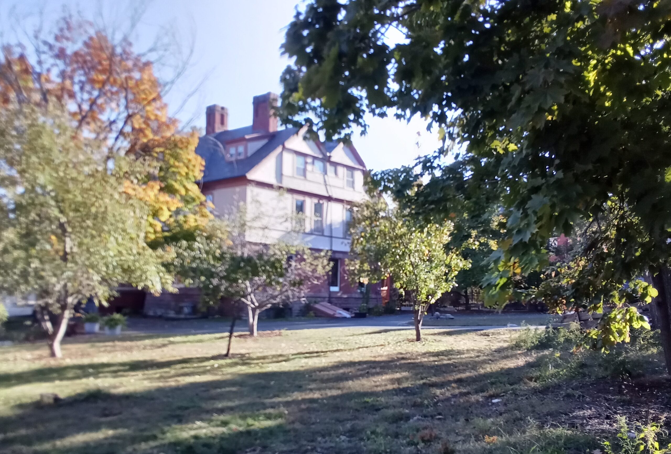
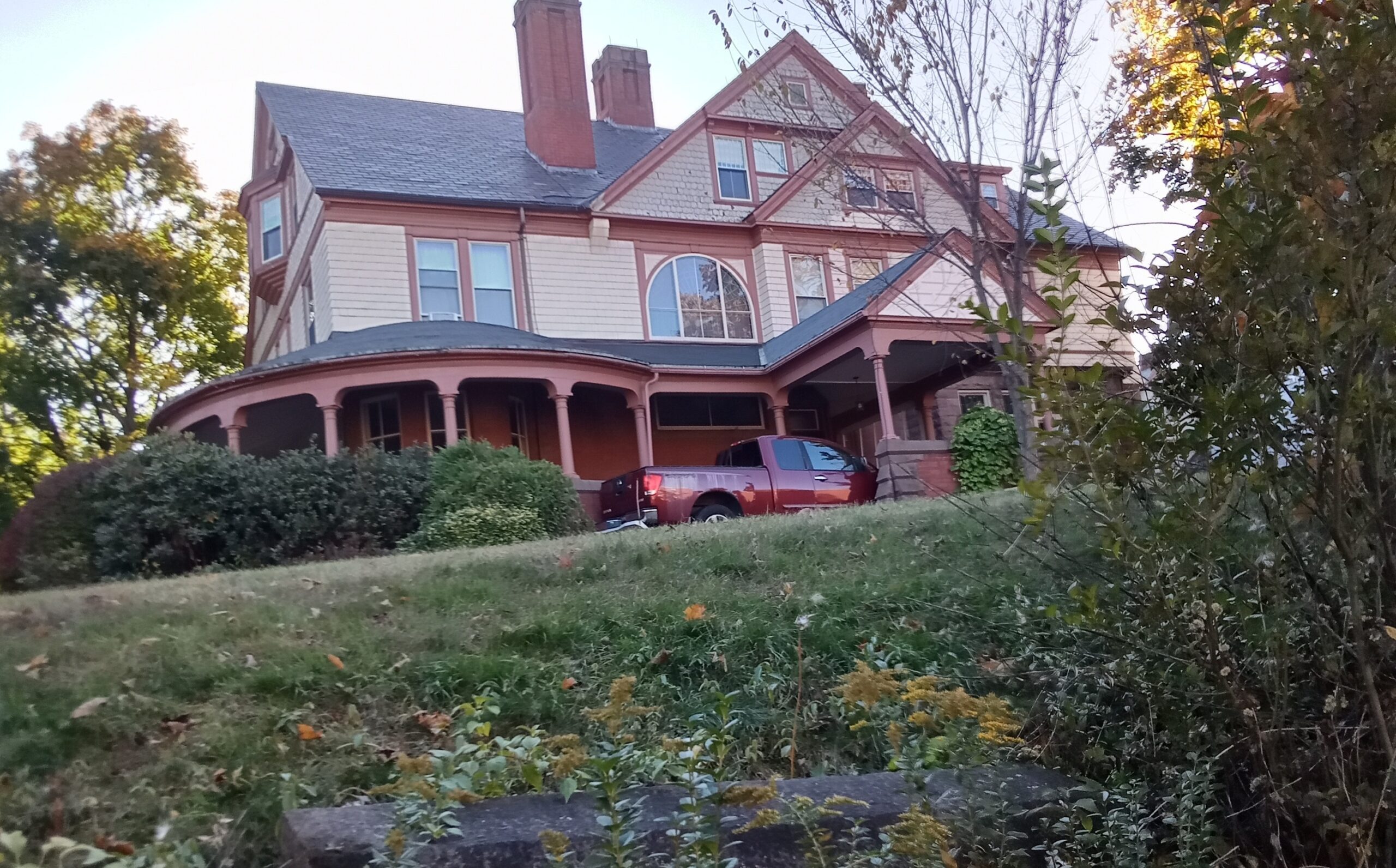
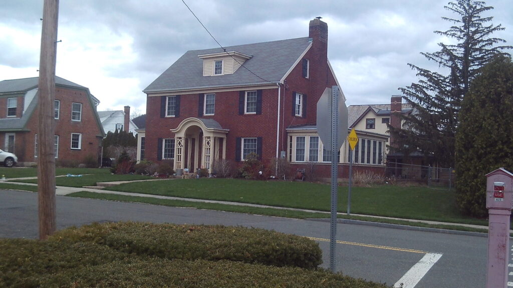
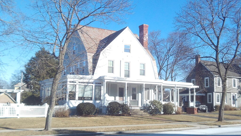
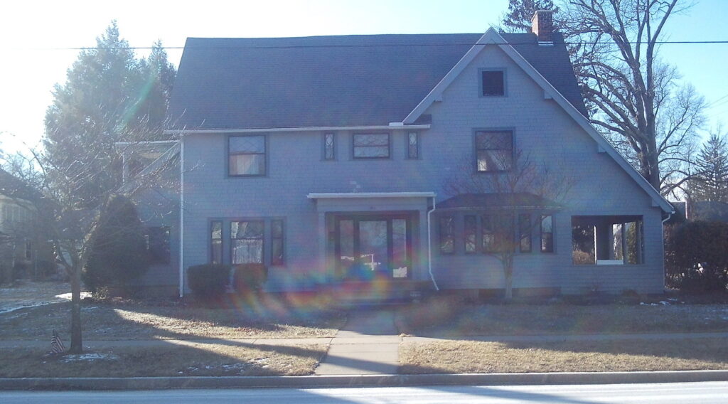
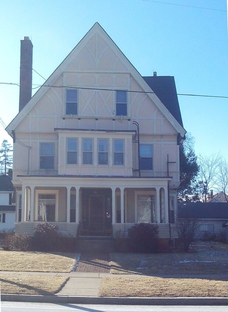
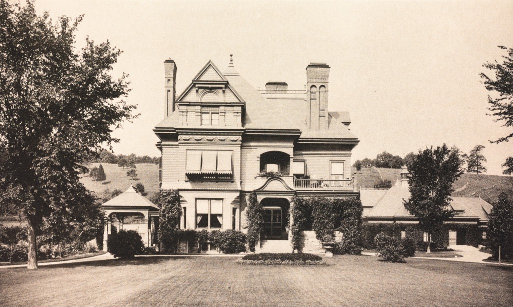
181 Linden Street at the SW corner of Essex Street. The previous addresses for the house are 215 Linden Street and 175 Linden Street. The architect on the house was James Clough who designed a Queen Anne Victorian home.
Prior owners were:
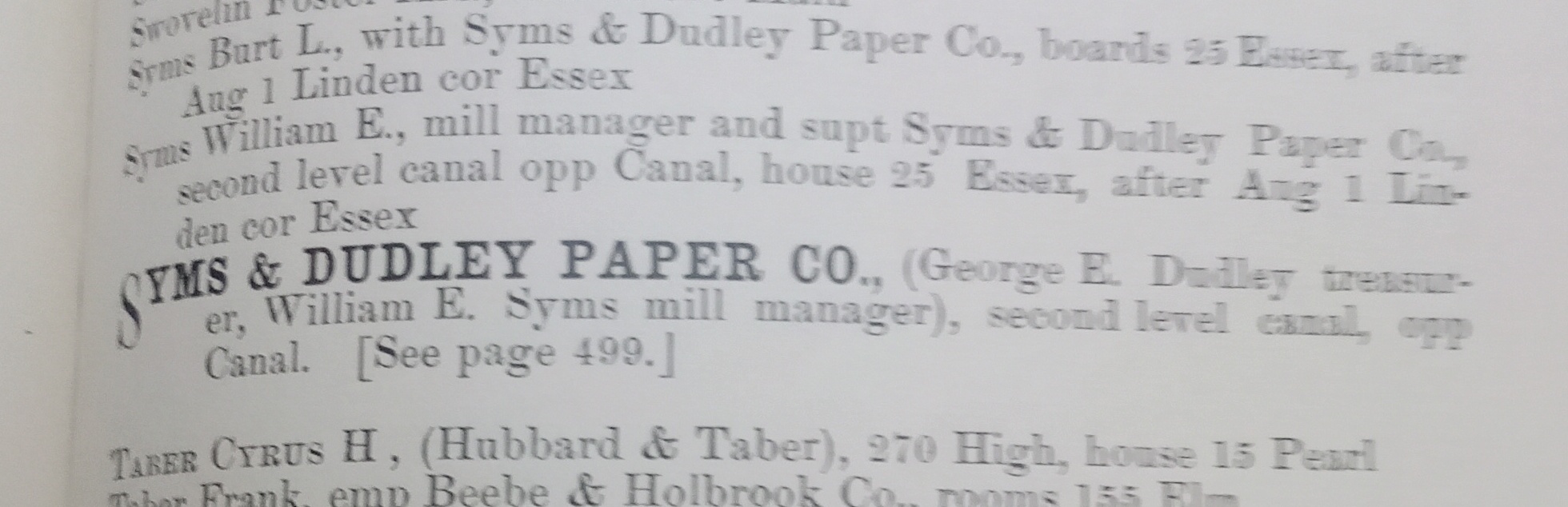
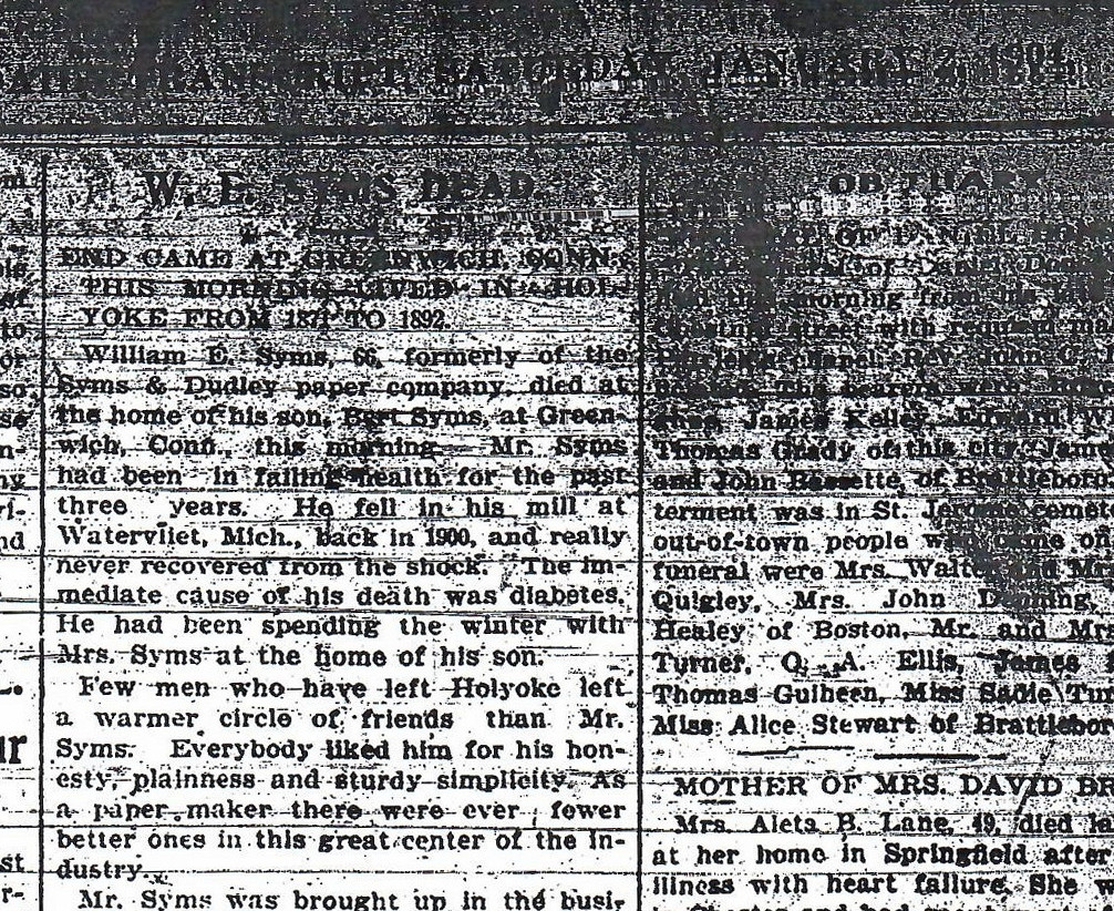
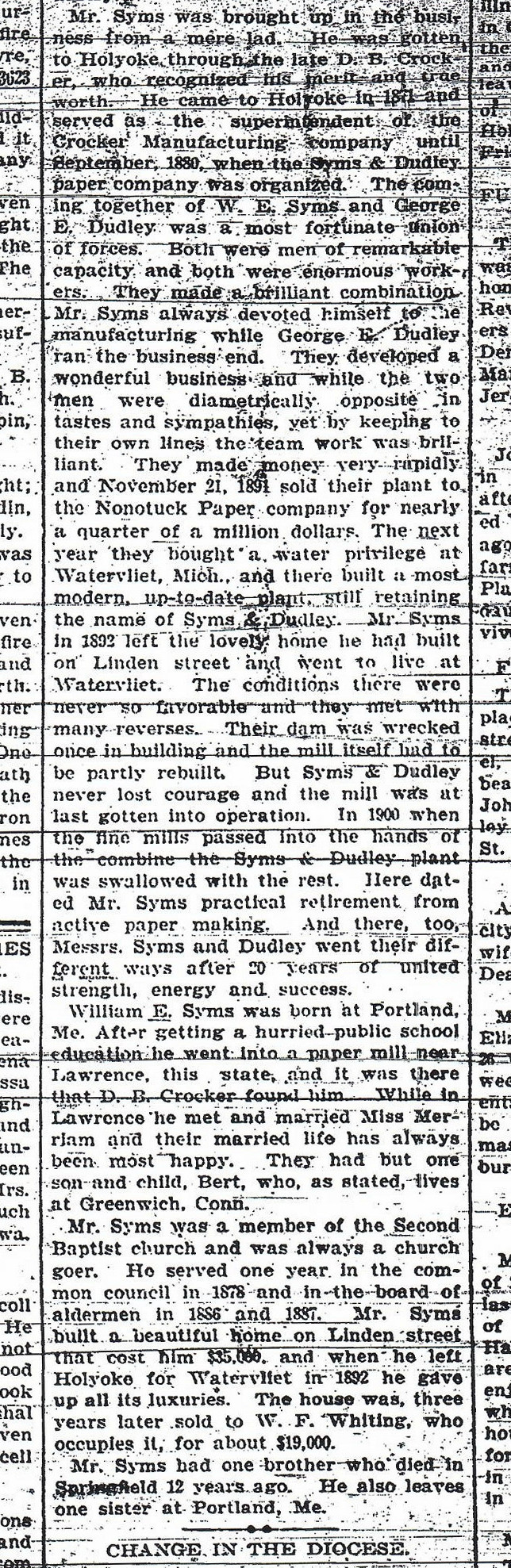
William Syms (1890-1894) who started the Dudley and Syms Mill in Holyoke which would become the Mount Tom Paper Mill. STORY about him – MILL
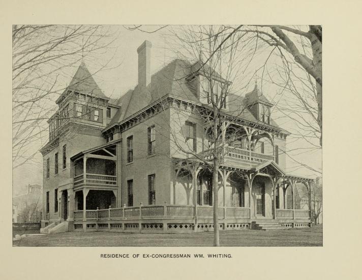
William Fairfield Whiting (1894-1916) who moved in 1916 to 182 Elm Street (the home that his mother died in in 1915 FINDAGRAVE – He was Secretary of Commerce under Coolidge and president of Whiting Paper after his father’s death. IMAGE and STORY about him – MILL
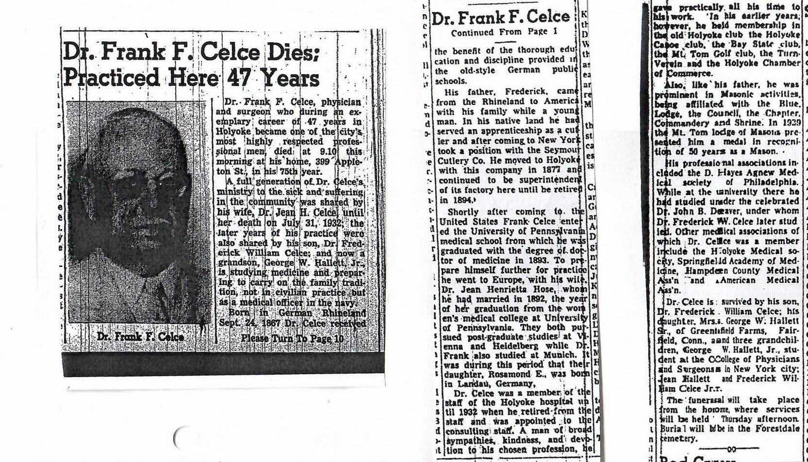
Dr Frank and Dr Jean Celce (Frederick Celce in the US Army) (1919-1921) – in 1917 they lived at 264 Maple Street. FINDAGRAVE – Jean Celce was on the board of the Holyoke Municipal Milk Station that Getrude Greeley wife of Samuel Whiting had help to start. Dr Celce would deliver Gardner Cox II who would end up becoming the head of the Child Welfare Department.
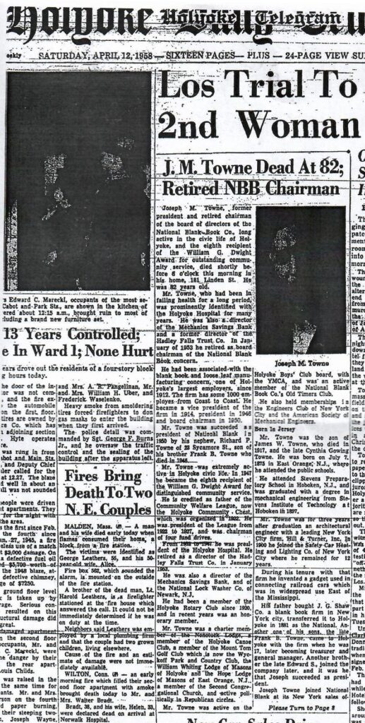
Joseph M Towne (1921-1962) – Joseph owned the National Blank Book along with his brothers. His wife Jessie Louise Dodd was responsible for the design outline of the Olmsted Garden. The Olmsted Brothers worked on the landscape from 1923 to 1925. She had two sons (William b August 10 1914 and Robertson b January 4 1917) and they would have loved the children’s garden. FINDAGRAVE – MILL – Jessie Towne founded the Holyoke Community Chest in 1921 and in 1927 the Holyoke Council of World Relations. Both Joseph and Jessie Towne died in their Linden Street home.
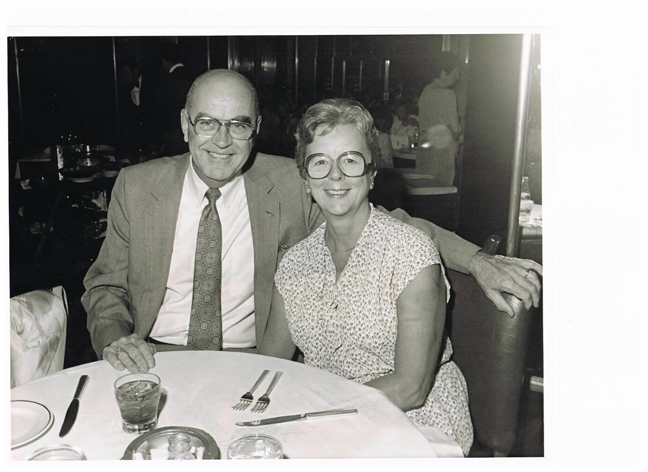
Philip Sheridan (1962-1984) – who would make it to be president, treasurer, and head engineer at Tighe and Bond. FINDAGRAVE
Tighe and Bond was located at the corner of Pequot and Bower Streets (when in Holyoke) and is an engineering firm. The company has its history HERE.
1968 HTTcourtesy of the Holyoke History Room at the Holyoke Library
The Johnson family of South Hadley were best friends with the Newton family of Holyoke. Dudley Johnson wrote a diary in 1872 that describes the coming and goings of the Newton Brothers in that year.
Henry Johnson of Northfield had three wives – Fanny Fisher, Martha Wright, and Ellen Tenney. His children were Henry, Watson, Dudley, and Anna.
IMAGES of the Dudley Johnson diary from 1872 written in South Hadley.
The George Prentiss homestead is at 1399 Northampton Street in Holyoke. The Prentiss house is gone but a picture of it still exists – IMAGE. It was razed in late 1956 to make way for the homes on a new street – Carol Lane.
The Olmsted Brothers designed the landscape around the Prentiss home in 1915. This work was paid for by William Prentiss son of George.
This Olmsted design was finally worked on in 1924. The landscape like the home is gone.
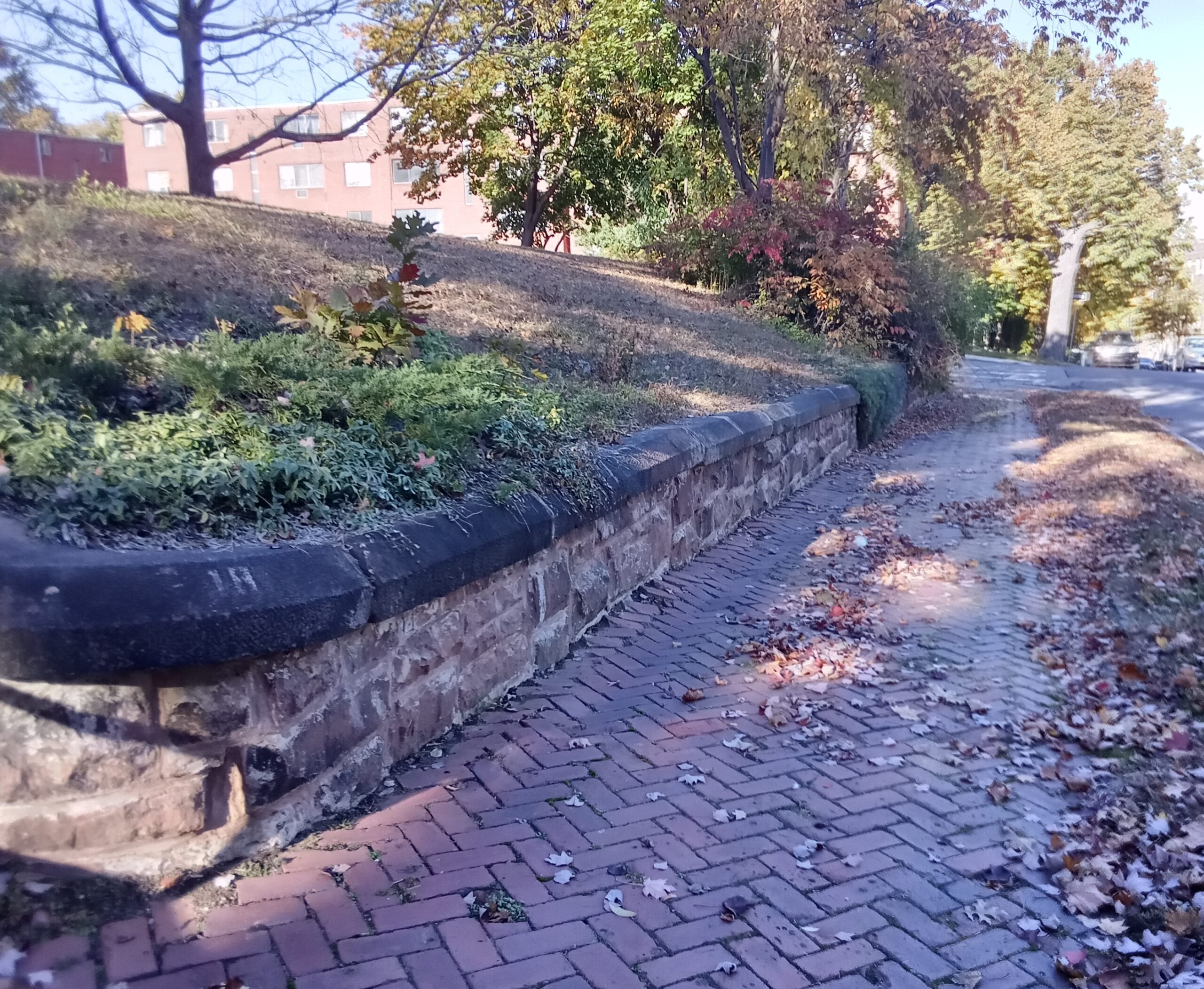
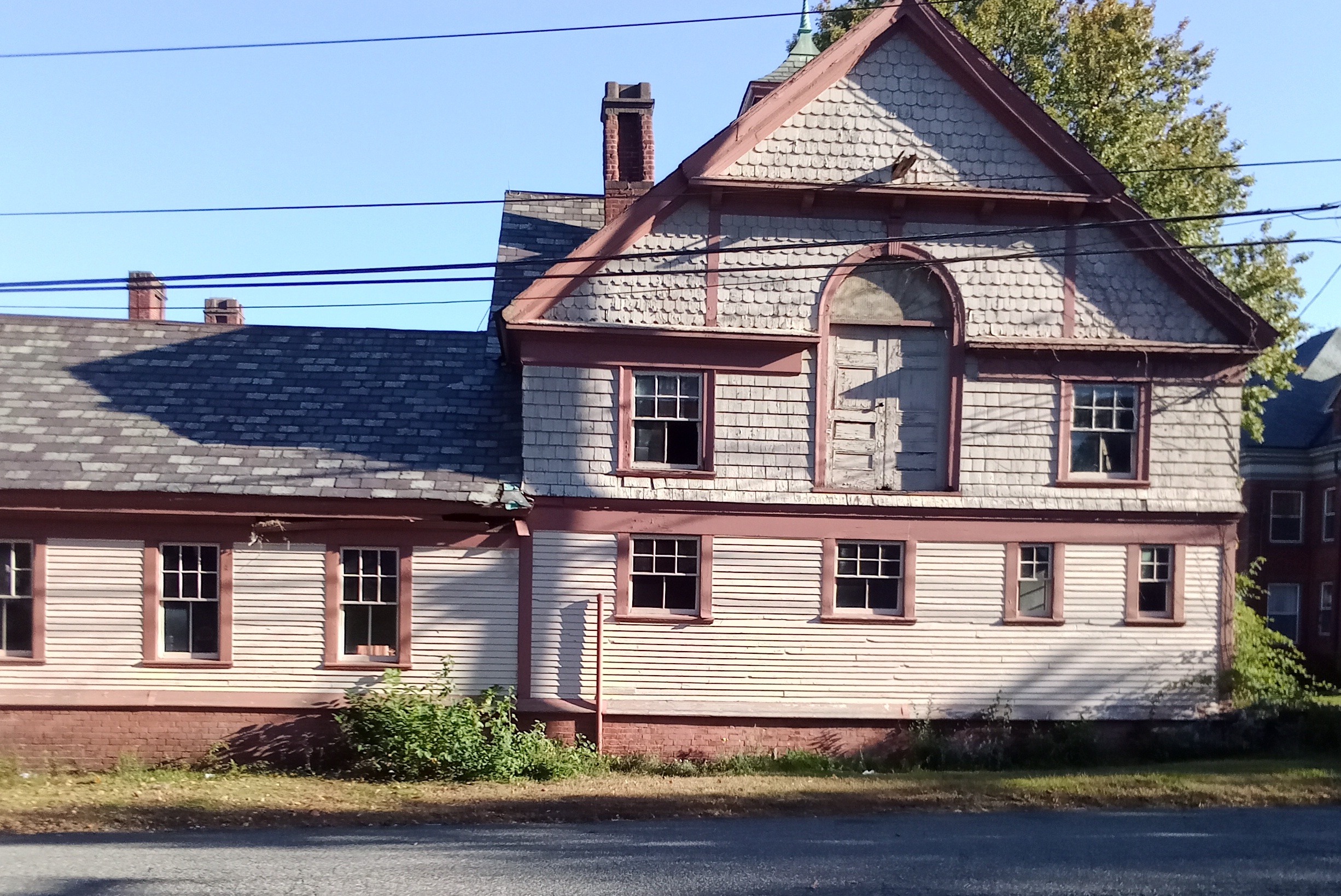
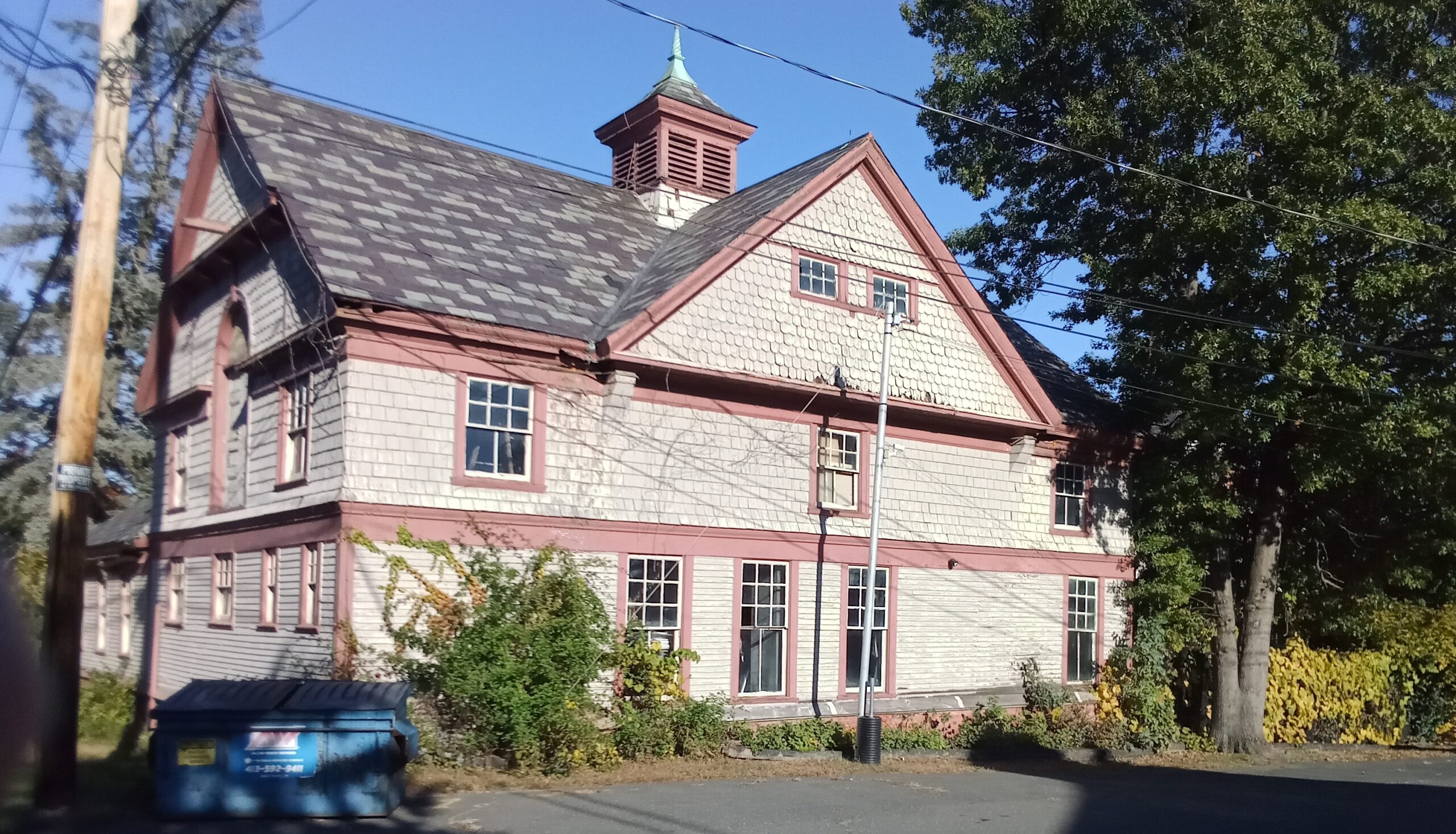
What does remain is the carriage house and it is at 15 Carol Lane. The landscape around that house is Olmsted-like but is not the original. It has been reworked into a curved driveway and a masonry wall.
Dudley Johnson (FINDAGRAVE) lived in South Hadley Massachusetts in 1872 when he wrote a diary for that year. I was offered the diary from a generous donor and, after scanning each page, have donated the diary to the Holyoke History Room at the Holyoke Public Library. What makes this diary special is the Dudley Johnson was great friends with the Newton Brothers of Holyoke and references them many times within his daily entries. See the scans below to read the dairy.
This is one of many Olmsted designs in Holyoke. They drew up plans from 1908 to 1911 for this park. The parks department finished their work there in 1912. Read about the rest at this LINK.
Stop 1 – Trolley at the Corner of Princeton and Pleasant Streets
This is a city owned park with a strong link to the trolley line. Read about it here at the trolley LINK. Jones Point Park was once called City Park and then called Highland Park. As City Park it was a complement to Mountain Park which was also a trolley park owned by the Holyoke Street Railway. The trolley ended at this corner of Princeton and Pleasant. People then walked directly to the east down a dirt road into the park. Since the park was not that popular, the developers placed a home (80 Pleasant Street – LOCATION) over this entrance in 1915.
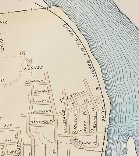
The 1894 Richards map is below. The J Jones home that you see was destroyed by a fire in 1918. There had been talk about a park in this location even in 1891. The City Register of that year has the park commissioners looking into buying the land at the northern end of Taylor and Pleasant Streets – 50 acres in all. They wanted to called it Mountain Park. Since they waited too long – the trolley company started a park farther on and called it – Mountain Park. The name was taken and thus when Jones Point Park came around a new name was needed. Some were calling it the North Pleasant Street Grounds. Henry Hastings of Holyoke was behind most of this planning.
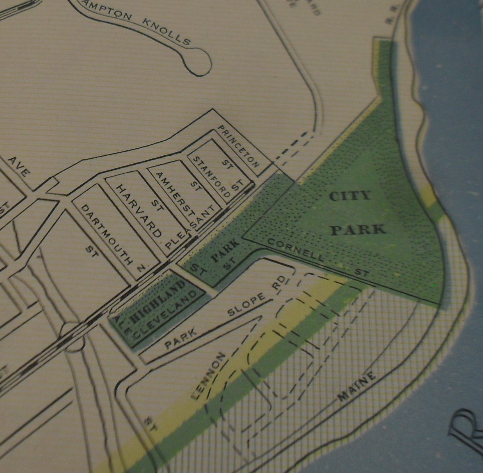
You can see in the Richards map of 1911 below that there were entrances off of both Princeton Street and Cleveland Street.
1908 city directory map
William Howe wanted to build a Waterfront Park that connected Prospect Park (now Pulaski) to Highland Park (Jones Point Park). What did go in there was Depression Beach.
Stop 2 – Corner of Harvard and Pleasant Streets
Notice how the home close to this corner has the masonry pillars. You will see this decor on Cleveland Street and then on the gates to the park.
Two homes have similar gate posts at their driveways and these match the posts of Jones Point Park. See the ones at 17 Cleveland Street also.
Stop 4 – Entrance to Highland Park
The entrance is at the bend in Cleveland Street where there is a metal gate and a stone pillar.
Stop 5 – The Design of the Olmsted Brothers
See the beautiful design of the Olmsted Brothers at this LINK.
In 1909 the land of Jones’ Point is purchased and a plan is made. In 1911 the parks department did hope to enlarge the concourse area but so little money and work was done. A great deal of brush was removed and hauled away.
Stop 6 – View of the Connecticut River
The Connecticut River Railroad was built in 1845. The river has it passes here is quite nice. In 1943 the city buys some railroad land to complete the park.
Stop 7 – View of Mount Tom
In 1891 there was already talk of a Mountain Park but it was not specific as to whether this area Jones Point Park or Mountain Park at the bottom of Mt Tom would be selected to be the trolley park. From this northernmost point of Jones Point Park, there was a 4th entrance / exit from Pleasant Street to High Rock. High Rock is part of the park and had its own entrance from a point near the bend of Pleasant Street downward into this area. There was a special path from the dirt trail just to High Rock itself.
stop 8 – modern Jones Point Park
The original park was left in a rough state. Starting in 1959 and ending in 1960 there was a radical make over of this park. The land was cleared, graded, and levelled. (1960 city report) A new softball diamond was added plus a skating rink and a playground. In 1976 using Legacy of Parks federal funds, Jones Point Park had a diamond added and four tennis courts put in.
stop 9 and 10 – homes of Highland Park
The majority of the homes in this neighborhood were made by the Highland firm of Samuel Hoyt. FINDAGRAVE