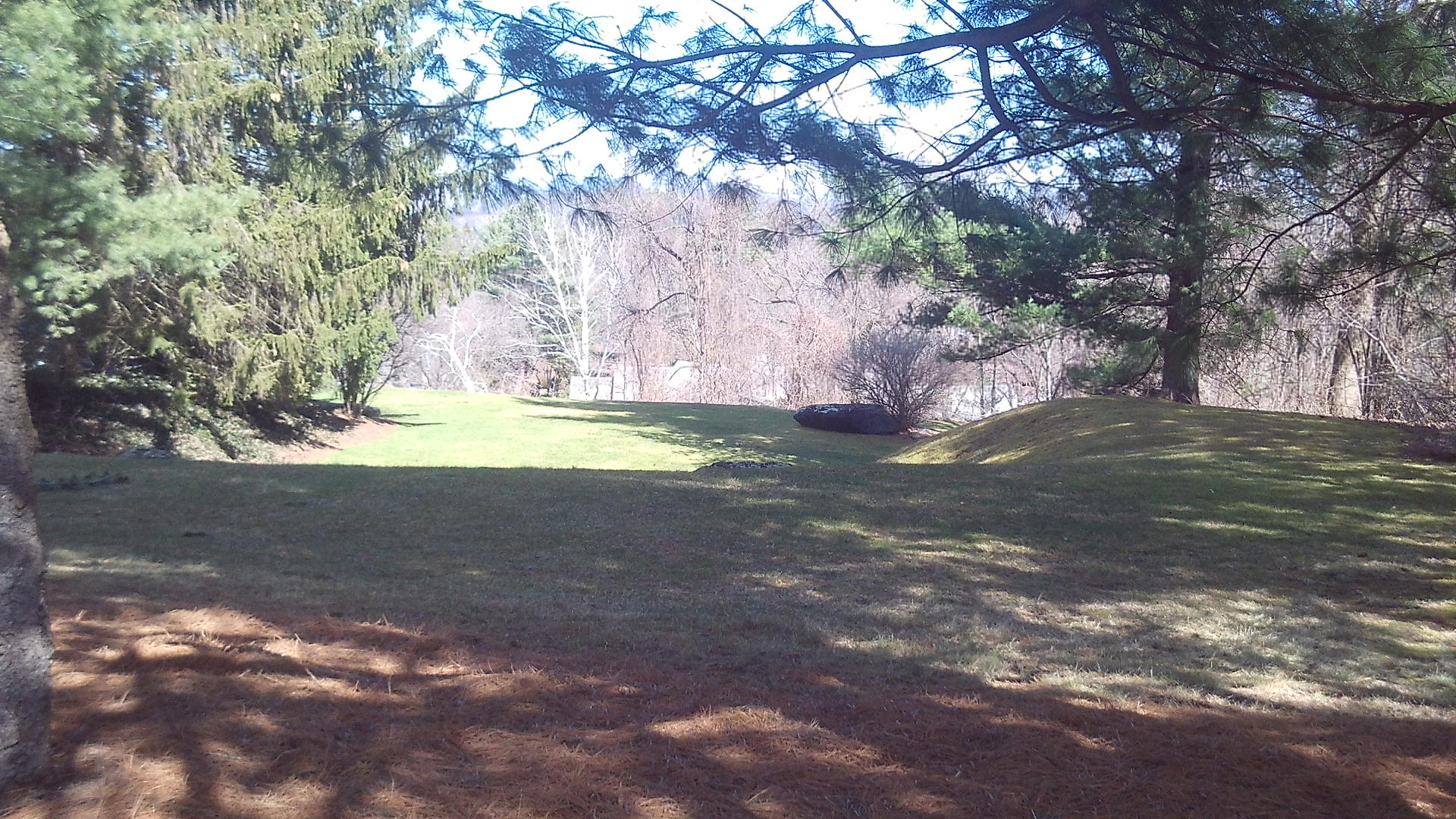
The Joseph B Woodruff home on Central Park Drive is a gorgeous home in the Tudor style.
This house at 28 Central Park Drive has an Olmsted designed landscape that was planned in 1923 and the landscape built in 1924. GROUNDS plans and HOME plan. FINDAGRAVE. The house was not ready until 1930.
Look at the shed in back since it too has the same design as the house. The steps down to the terrace and the terrace itself are Olmsted designs.
In 1924 there were sidewalks put in at the start of Mountain View Drive near the highway. In 1955 Mountain View Drive and Central Park Drive finally got some more sidewalks but not many more.
Thanks to Jeffrey Trask for the images below of the exterior and the interior of the home.
The Rock Valley Cemetery in Holyoke is the smallest of all the cemeteries in the city.
The Smith’s Ferry Cemetery walking tour booklet is available from me. They cost $4 for a black-and-white stapled copy. Each additional copy after that is $3 more when shipped together. For a color copy, the cost is $5 and each additional copy in color is $4.
Email me from my contact page for details. The booklets that you order will be mailed to you via USPS so I need a physical address. Other booklets are available at the BOOKLET page.
The Holyoke Contagious Disease Hospital was on Cherry Street in Holyoke. It is also called the Holyoke Sanatorium. It would open in 1912. It would close in December of 1937.
The Pulaski Park walking tour booklet is available from me. They cost $5 for a black-and-white stapled copy. Each additional copy after that is $3 more when shipped together. For a color copy, the cost is $8 and each additional copy in color is $6.
Email me from my contact page for details. The booklets that you order will be mailed to you via USPS so I need a physical address. Other booklets are available at the BOOKLET page. You can follow this tour at LINK.
The Church of the Nativity has its own page on my site. LINK
The Mount Carmel School is behind the rectory at 32 Mount Carmel Avenue (LOCATION). This school was ready for classes on September 5 1922. The convent for the Sisters of the Presentation was built in 1932.
The Maryland, the Allaire, and the Esther are across the street.
This church and parish is from 1940 and was an offshoot of Nativity Church. (840 Chicopee Street) (LOCATION)
stop 2 – BF Perkins and Sons Mill
At the corner of Adams and Chicopee Streets, see across the street the paper mill of the Perkins family. (939 Chicopee Street) (LOCATION)
stop 3 – Pendleton House
At the corner of Baptist Avenue and Chicopee Street, on the western sidewalk that you are on, find the Pendleton House at 994 Chicopee Street. (LOCATION) This is an 1820 farmhouse. Across the street find the Beulah Baptist Church a mission church of the Second Baptist Church of Holyoke.
stop 4 – Willimansett School
At the corner of Tourtelotte Avenue and Chicopee Street, see the Willimansett School at 1024 Chicopee Street. (LOCATION) In 1879 this was a public school.
stop 5 – James Emerson house
This stop at 30 Emerson Street is the James Emerson house. (LOCATION) He was a hydraulic engineer for the Holyoke Water Power Company. He ran the first test flume in Holyoke.
stop 6 – The Willimansett Bridge
The Willimansett Bridge (LOCATION) was made a year after the County Bridge a mile up the river. It was made in about 1891. It is a steel triple truss bridge.
Exif_JPEG_420
There once was another bridge from Chicopee across the river to West Springfield – the Ashley Avenue Bridge. It was at first built in 1849 and then replaced in 1906.
The Interstate 391 bridge that you now see to the south was dedicated on September 10 1982.
To the north is the Vietnam Veterans Bridge between South Hadley and Holyoke. Just beyond that and also beyond the Holyoke Dam is the Muller Bridge. This last bridge was dedicated October 20 1966. It was an enormous project that required the taking of 23 homes. See stop 1 at LINK.
stop 7 – The Connecticut River
The Connecticut River is 406 miles long. At this point it still has a long way to go to Long Island Sound. Look toward the bank on the Holyoke side and you will see Spillway 5 of the Holyoke Canal System. On heavy flow days the output of water is very high. Past the bend of the river is the start of the Chicopee Falls area and also the Chicopee River comes in at the left.
The Connecticut River Railroad Bridge (LOCATION) was put on the west bank of the river in 1841. The bridge that you see here was put in place in 1872. One small station was right on the bank itself on the Holyoke side and a similar station on the Chicopee side. The bridge is still used for freight and for Amtrak. Once it include a walkway for people that wanted to walk across into Holyoke or Chicopee. The Connecticut River flows at a very placid tempo at this location.
The Springdale Park walking tour booklet is available from me. They cost $5 for a black-and-white stapled copy. Each additional copy after that is $3 more when shipped together. For a color copy, the cost is $8 and each additional copy in color is $6.
Email me from my contact page for details. The booklets that you order will be mailed to you via USPS so I need a physical address. Other booklets are available at the BOOKLET page. You can follow this tour at LINK.
This double lot at 198 and 208 Central Park Drive was made in about 1923. Edward Twing had a lot on the eastern lop of Central Park Drive and he was a person that moved a lot so he had another one built at this double lot. The house is a planned house and the landscape is the lot to the north of the house. That lot is now with a modern house and the landscaping seems to be apparent only along the northern edge.
Edward Towne had his house and landscape designed by the Olmsted Brothers from 1918 to 1924.
The PLAN of the grounds show that most of the major elements are still there. Planting guide to the land.
Edward Towne shared the administration of the National Blank Book Company with his brothers – Joseph and Frank. Edward and Joseph would have the Olmsted Brothers as their landscape architects but Frank would not.
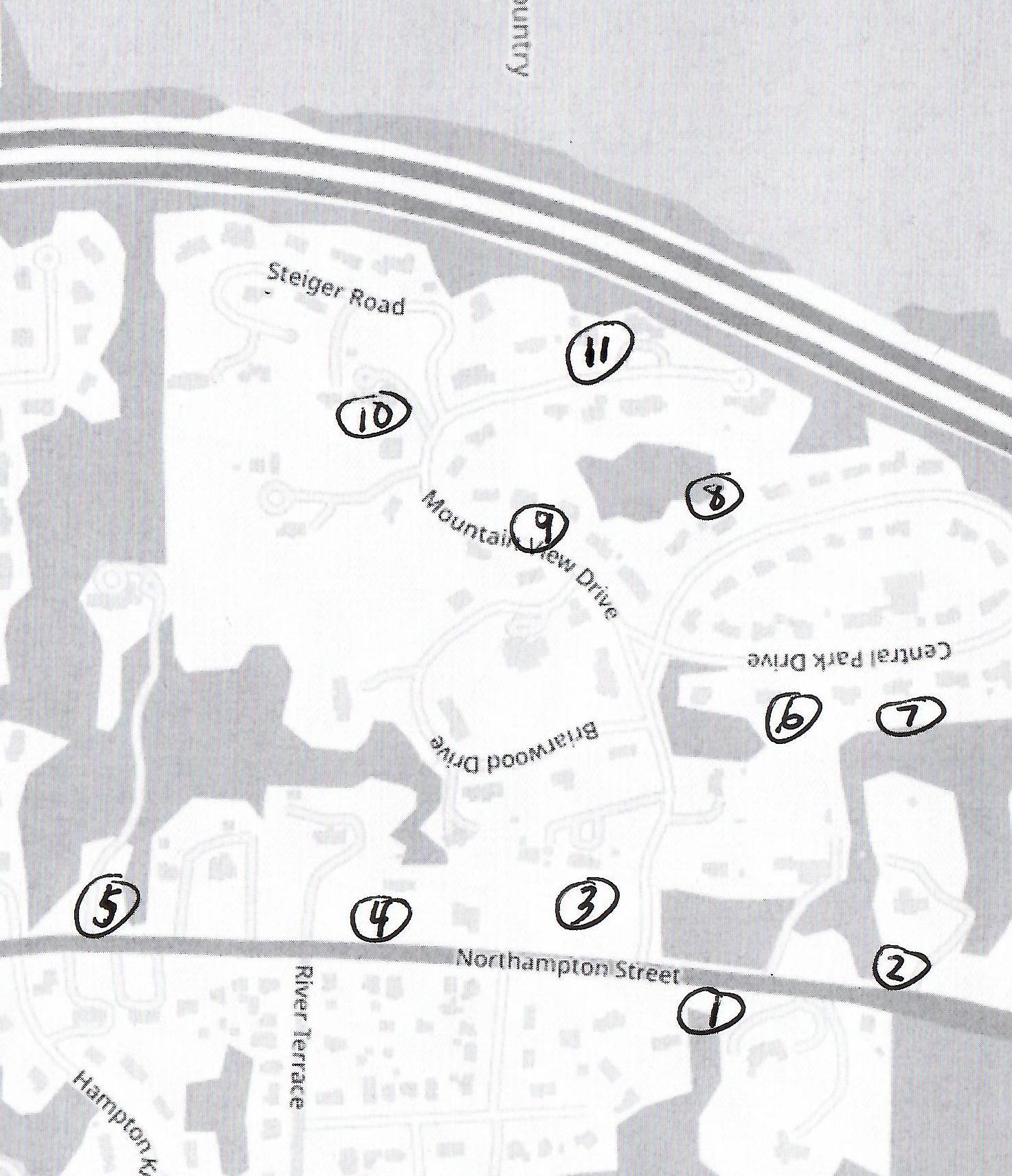
A self-tour is available for anyone using the maps and text seen below. – LOCATION
Wyckoff Park Neighborhood Walking Tour is a great way to see the homes and landscapes as designed by the Olmsted Brothers of Brookline. For a summary of their work in Holyoke see this LINK. You will notice in this park that there are winding streets, skewed arrangement of lots, and houses of various designs.
For information about any stop, click on the title of that stop.
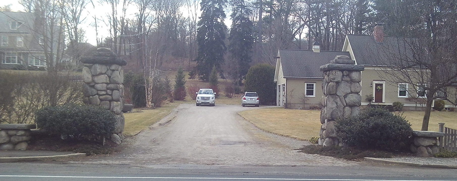
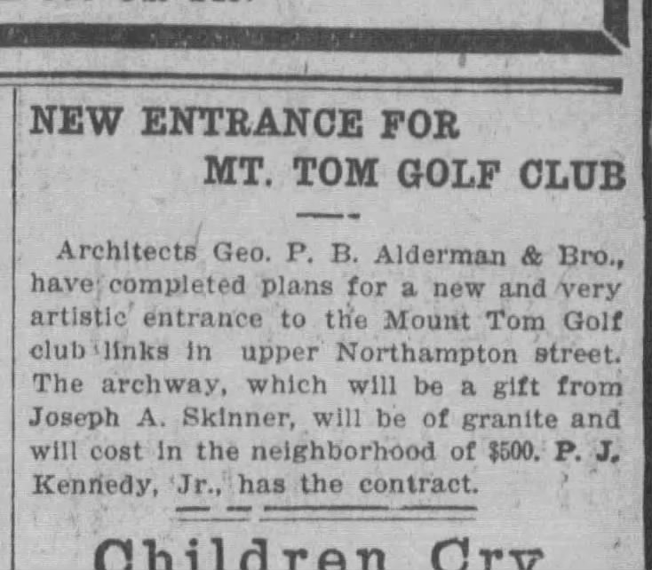
The entrance gate to the golf course is on the highway. The Mount Tom Drive started here in 1911 and was greatly improved in 1922 by the Olmsteds. The trolley house to its side still has its base in place. The clubhouse was from 1911 to 1956 at what is now called Briarwood Drive. The pillars of the entrance gate were a gift from Joseph Skinner.
Briarwood Drive was added in 1956. The golf course entrance road was at this gate but is mostly gone. From here it did run from the middle of Briarwood up to the front of Steiger’s home.
The Mt Tom club house was from 1901 to 1911 at the top of the knoll were the William Anger home is. What a sight that most have been.
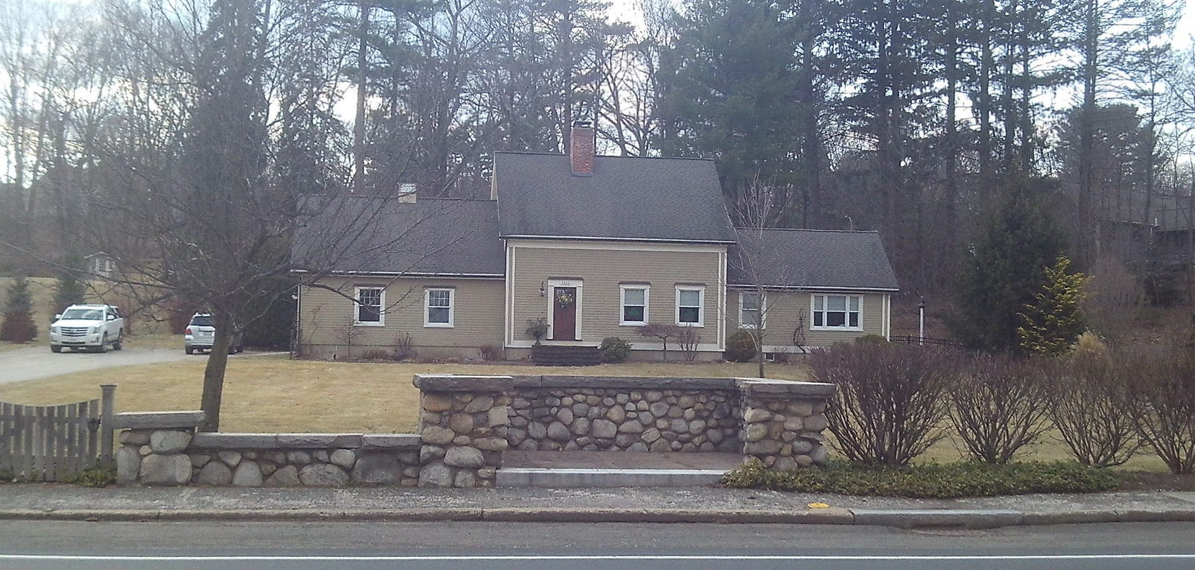
Directly across the street is the former home of the golf course designer Donald Ross at 1108 Northampton Street. He redesigned the Mt Tom Golf Course in Holyoke at the request of Lewis Wyckoff. Apparently he did this twice – once in 1914 and then in 1922. The Wyckoff Park Developers helped to pay for this second redesign (1922) since it was they who promoted the neighborhood that forced a move of the course westward.
[See link just above.] House is at 1155 Northampton Street (LOCATION)
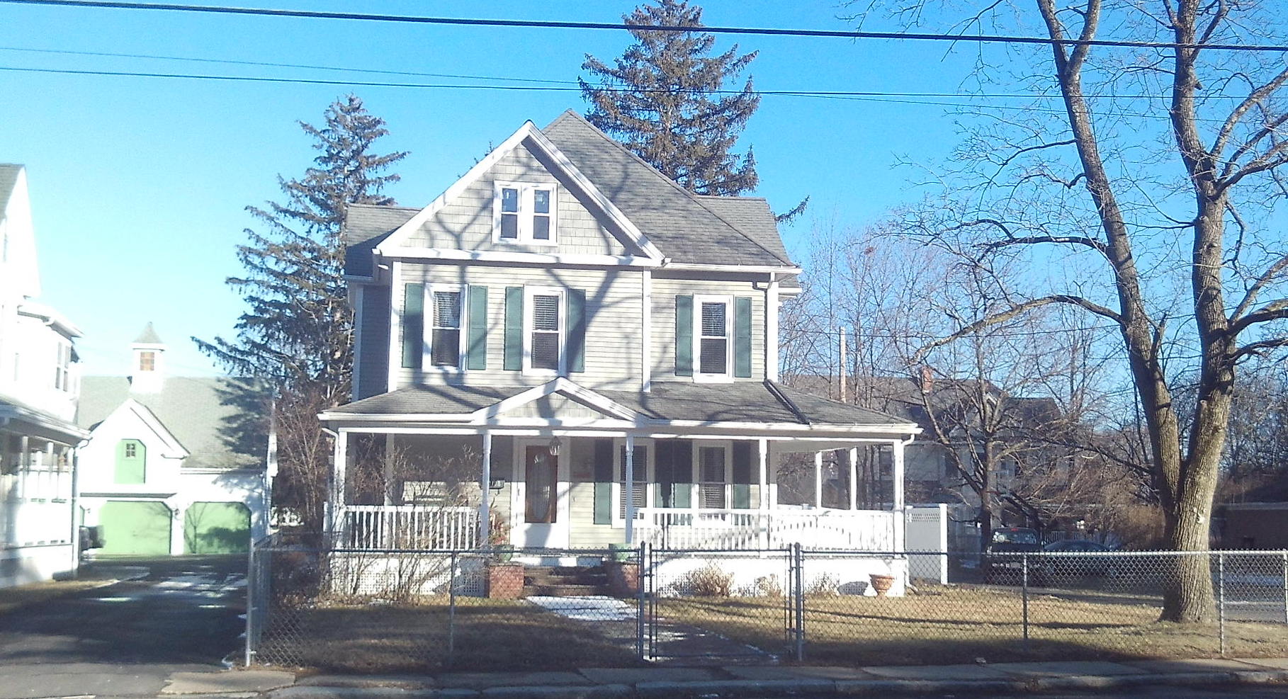
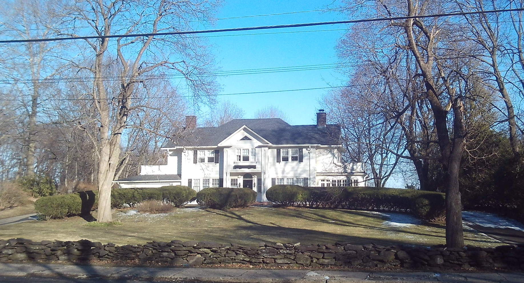
Look across the street at the Nathan Avery home (1150 Northampton Street) (LOCATION). He was mayor of the city from 1904 to 1910 and also head of the parks department. He ordered the Olmsted report on the parks and then on the streets of the city.
[See link just above.] House is at 62 Central Park Drive (LOCATION)
Mystery Stop – 118 Central Park Drive
The home at 118 Central Park Drive (LOCATION) is also in the Tudor revival style and has a nice landscape. Is it an Olmsted design in which the plans have not yet been found?
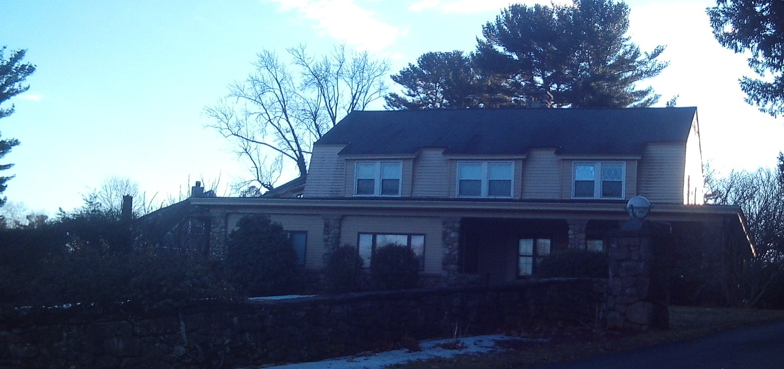
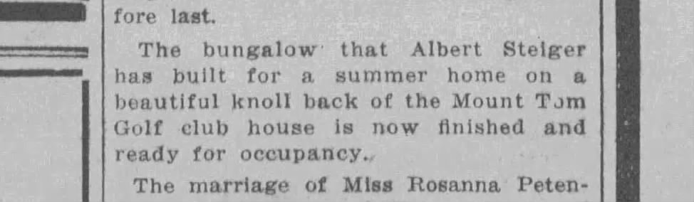
From your route on Central Park Drive turn right onto Mountain Park Drive. A couple of houses up see the wonderful stone gate. This is on the first of five adjacent lots that Albert Steiger bought in 1924. He made this gate as part of a walking path from the former clubhouse in the Briarwood Drive area to the first hole about 150 yards uphill.
The Steiger house is at 170 Mountain View Drive (corner of Steiger Road) (LOCATION). Read of the business HERE. Albert Steiger owned a lot of land behind his house. He would often walk from his home across either a trail or the golf course road to the road around Whiting Street Reservoir and then around that and back. Both this old trail and this old road has been discovered in recent years. See stops 12 and 14a at the Whiting Street Reservoir tour.
On April 5, 1955 Steiger Road is built and perhaps finished by October.
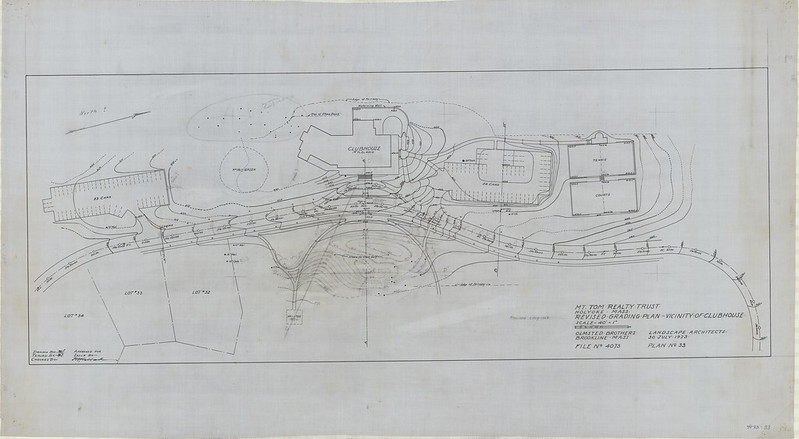
The clubhouse was to be made anew at the top of Mountain View Drive as part of the 1922 Olmsted design. In the summer and fall of 1956 this was finally done. However, the landscape was done according to the Olmsted plans earlier than that.
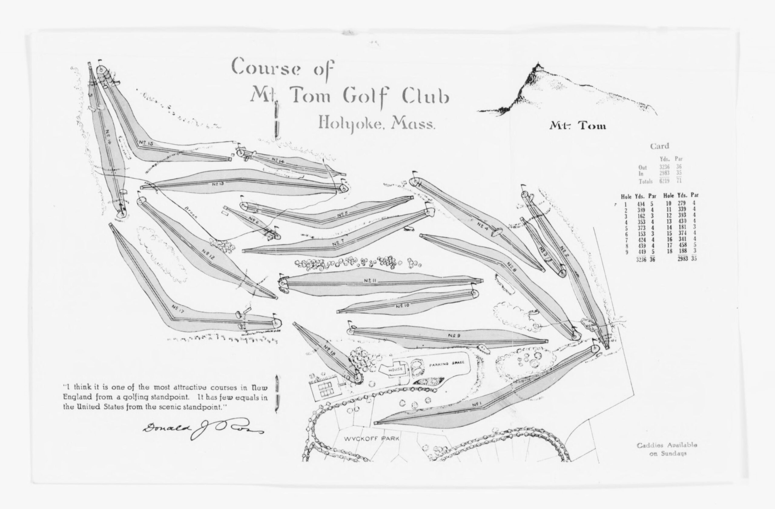
Thanks to Tom Kass for the tee map.
The Mount Tom Golf Course was redesigned in 1922 when the neighborhood was reworked. The design is shown above. See that the hole 1 is between Central Park Drive and the top portion of Mountain View Drive.
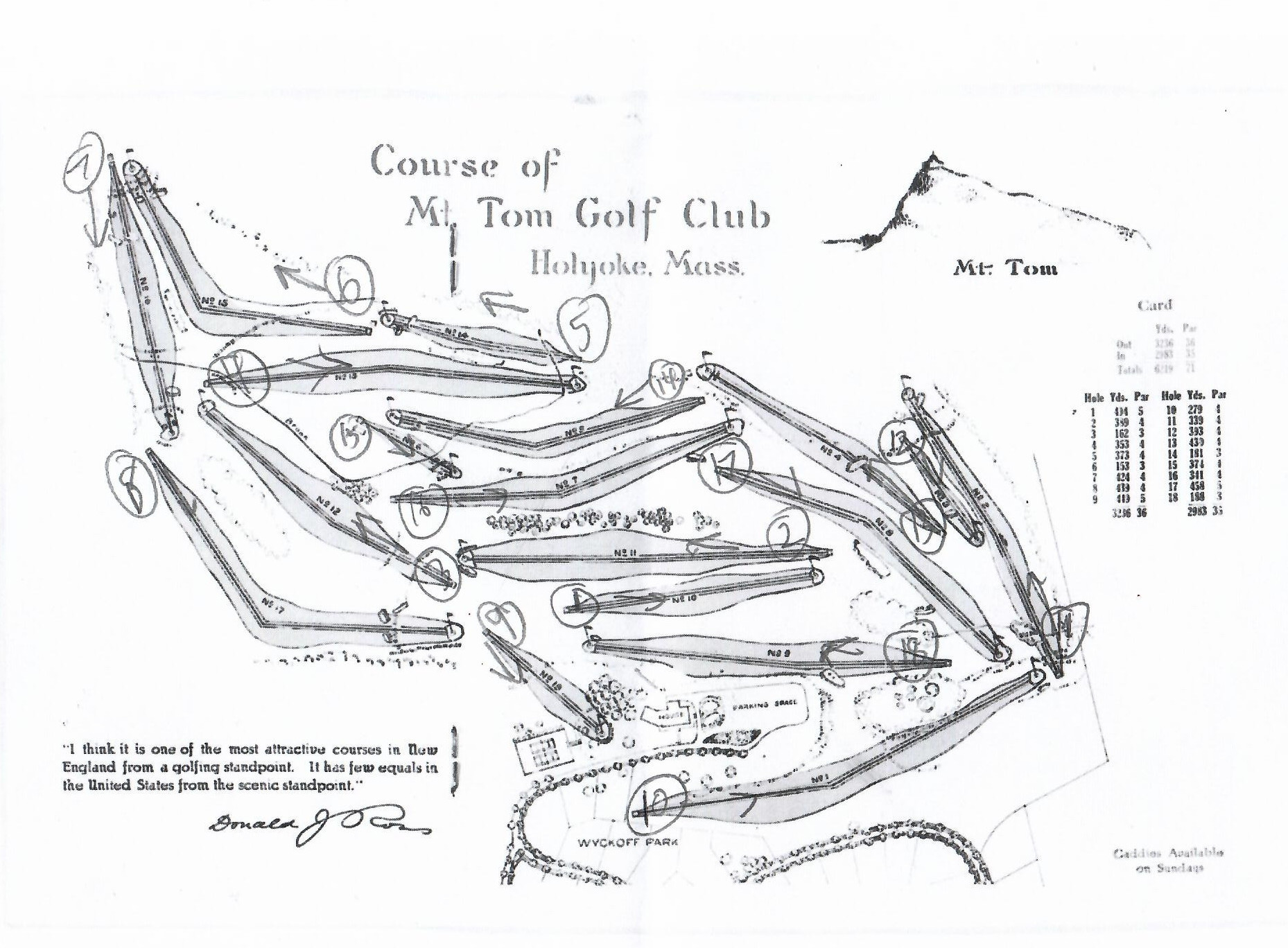
In 1956 the course was renumbered such that holes 1 to 9 became holes 10 to 18 and holes 10 to 18 became holes 1 to 9. See the added renumbered course just above.
In 1963 the neighborhood had to be reworked once again. Interstate 91 was coming in and so the easternmost holes needed to be reworked to be placed into the land to the south. Albert Steiger had given land to the Holyoke Water Works in 1929. This land was sold to the golf course in 1963 so they could build the newer holes to the south. The 4th clubhouse was split in half and two houses were built in adjacent lots on the top of Mountain View Drive. The 5th clubhouse was made on the entrance from Easthampton Street.