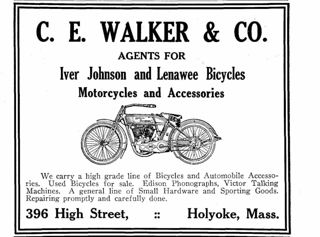
The Walker Block is now gone but was at 394 – 398 High Street. It housed many small businesses. They themselves sold bikes.
Sanborn map analysis:
Sanborn 1884 map shows an empty city block
Sanborn 1895 map one business was the steam laundry
The Walker Block is now gone but was at 394 – 398 High Street. It housed many small businesses. They themselves sold bikes.

Sanborn map analysis:
Sanborn 1884 map shows an empty city block
Sanborn 1895 map one business was the steam laundry
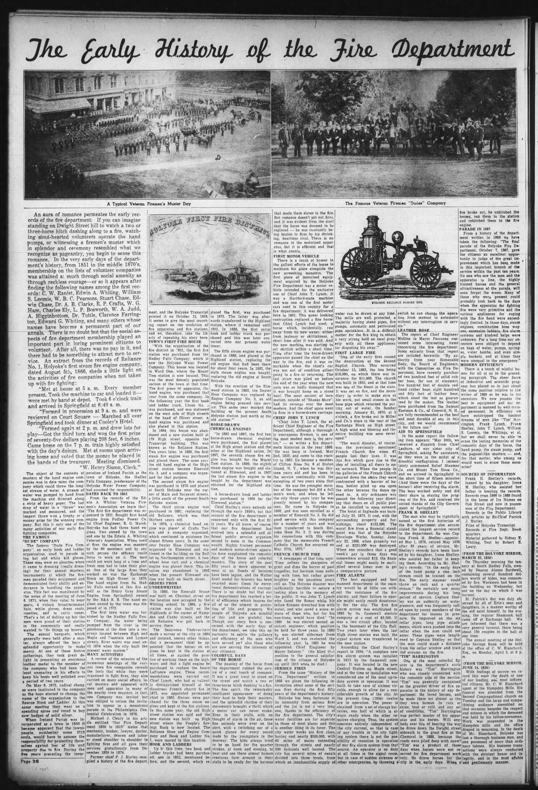
General topics of the fire stations of Holyoke HERE. The table on this page gives the stations around Holyoke through time.
| house | station | location | start | end | link |
| 1 | Central Fire Station (edition 1) | 206 Maple Street | 1914 | 2001 | link |
| Central Fire Station (edition 2) | High Street | 2001 | still | ||
| Reliance Fire Station (edition 1) | High Street | 1864 | 1886 | ||
| Reliance Fire Station (edition 2) | 310 High Street | 1886 | 1914 | ||
| 4 | Mount Tom Fire Station | Canal Street | 1887 | 1976 | link |
| 2 | Mount Holyoke Fire Station | 450-452 Main Street | link | ||
| Relief Fire Station 1 | 1870 | link | |||
| Relief Fire Station 2 | 1891 | link | |||
| 5 | Elmwood Fire Station | 490 South Street | 1891 | link | |
| 7 | Emerald Fire Station | Chestnut Street | 1914 | link | |
| 3 | Highlands Fire Station | 1034 Hampden Street | 1884 | 1969 | link |
| Extinguisher Company and Station | Northampton Street in Manchester Grounds near the Crafts Hotel | 1875 | link | ||
| Dexter Fire Station | Northampton Street in Elmwood | 1875 | |||
| Homestead Fire Station | Homestead Avenue | 1962 (Sep 6) | still | link | |
| Whiting Fire Station | Whiting Farm Road | 2003 | still |
The fire committee starts in Holyoke in 20 January 1874.
Dexter existed from at least 1875 until 1892. It house the Dexter Hose Company number 4. This was a two wheeled horse carriage. The station was in a house. See the Holyoke T-T of Dec 2 1940 for a story.
Extinguisher Company number 2 ended about 1880. Also there was a Mechanic Engine Company number 2. Likewise, there was the Union Hook and Ladder Company starting in 1852. (It was located across the street from the Holyoke Telegram)
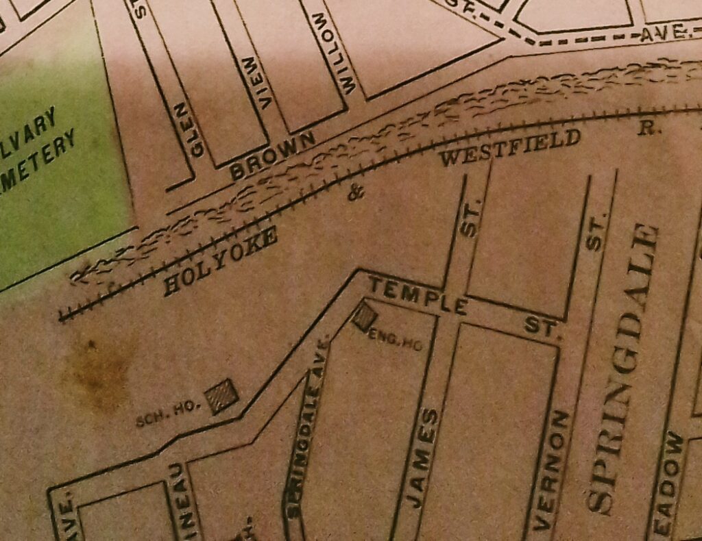
There is a never explained fire engine house in the Springdale neighborhood on a few maps.
Sanborn 1895 map – on Temple Street and the prior Sanborn maps do not reach there
Holyoke City Directory map
Sanborn 1915 map – listed as vacant
The Park Theater was a nickelodeon style movie house. It was located at 569 Dwight Street. It lasted from 1911 to 1915.
Sanborn map analysis:
Sanborn 1884 map shows that the building is numbered as 105 to 107 Dwight.
Sanborn 1889 map shows that the building is numbered as 105 to 107 Dwight.
The LaFrance Block at 405-411 High Street was made in 1907 in the Romanesque style. At first it was called the Hotel Leon. It once was a five story structure but had to be changed to three stories. By 1930 it is being called the Potolski Block. Then it was demolished.
This building once held the Grand Theater from 1909 to 1919.
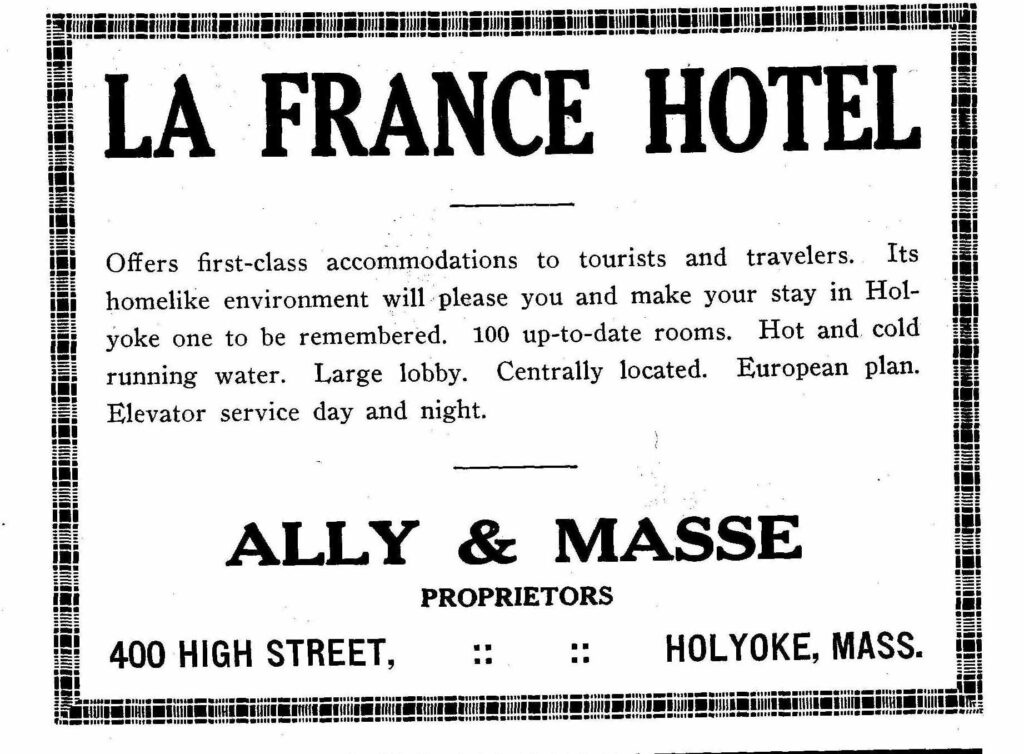
Lafrance Building (Hotel Essex) at 400 High was across the street from the LaFrance Block. It was built in 1907 in the American Renaissance style. It served as the residence for many of the actors and actresses in the theaters around Holyoke. Clearly, it mostly served the Grand Theater and the Empire Theater that were across the way.
Look at the wonderful ad that they had in 1915
By 1930 it is being called the Hotel Grand.
Sanborn map analysis:
Sanborn 1884 map shows an empty city block
Sanborn 1889 map shows the Coughlan Block at 407 High
Sanborn 1895 map shows the Grand as the Flanagan Block and the Hotel Essex as 4 wooden structures in row – restaurant – tailor – photographer – cobbler (L to R)
Sanborn 1915 map shows the 8 floor Hotel Essex across from the Grand
Sanborn 1949 map shows the 8 floor Hotel Essex with the Grand building only stores and apartments
Sanborn 1956 map shows the 8 floor Hotel Essex with the Grand building only stores and apartments
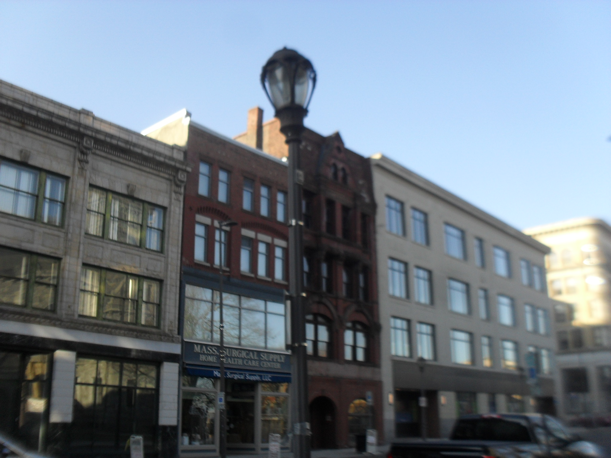

The Mayberry at 249-251 High Street is an 1881 building.
By 1915 it is the Harrigan Brothers Block.
Sanborn map analysis:
Sanborn 1884 map – it is a harness company and only three floors
Sanborn 1895 map only three floors
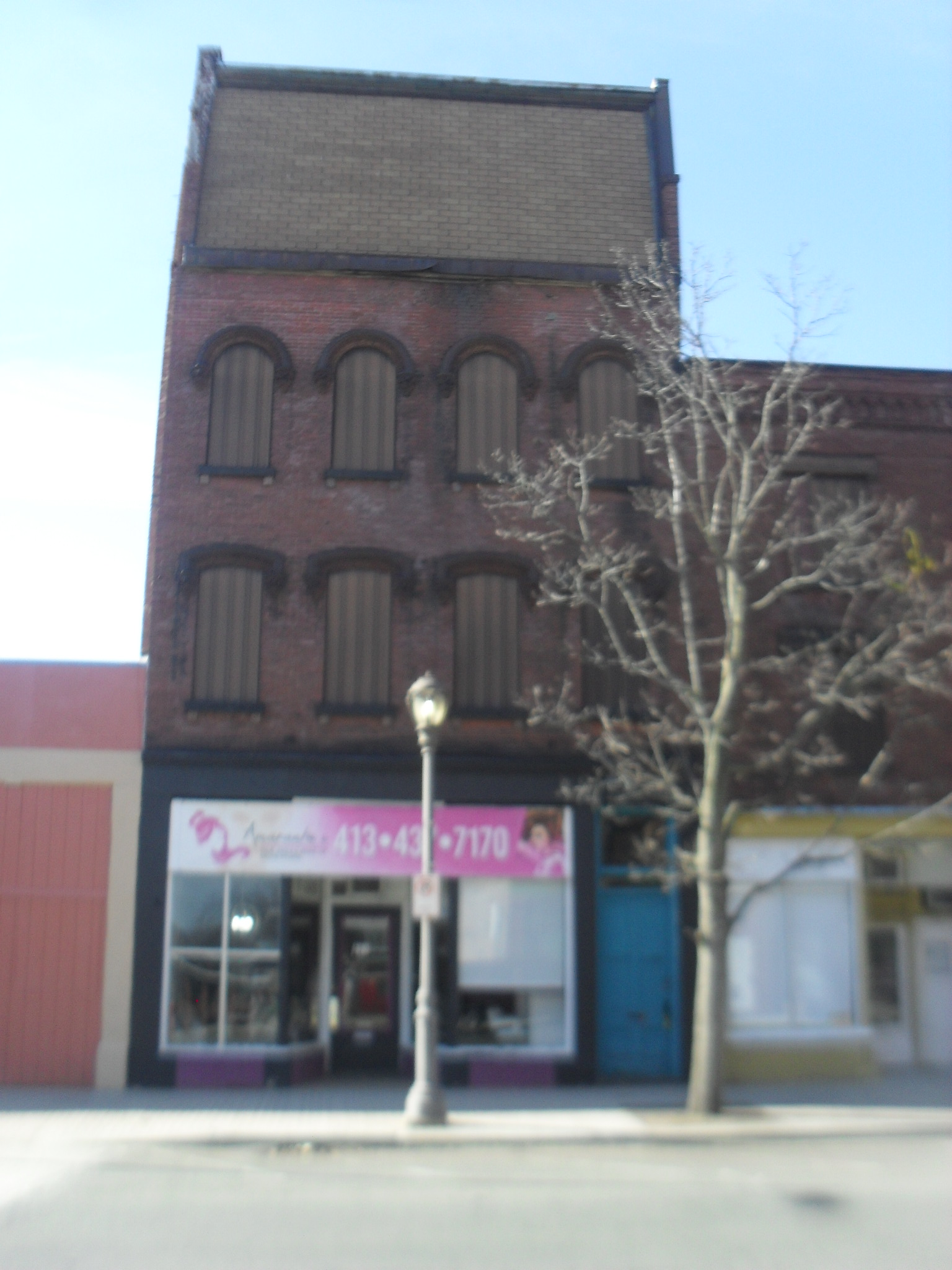
The Holyoke Lock Company building was made in 1870 at 121-123 High Street. It is in the Second Empire style. Dennis Higgins owned this building from its inception as he did own the building to its north. He died the 29th of April 1895 in Holyoke and ownership would finally move to other people. Now the 4th floor has a changed look. It was once with slate and 2 dormers but is now with shingles.
Sanborn map analysis:
Sanborn 1884 map a 4 floor building and a milliner occupies it
Sanborn 1889 map shows that it is 4 floors in front and 1 floor in back and a grocer is there
Sanborn 1895 map shows that it is 3 floors and a French roof in front and 1 floor in back and it is a store
Sanborn 1915 map shows a “Damaged by Fire” note on the scheme
Sanborn 1949 map is still 4 floors
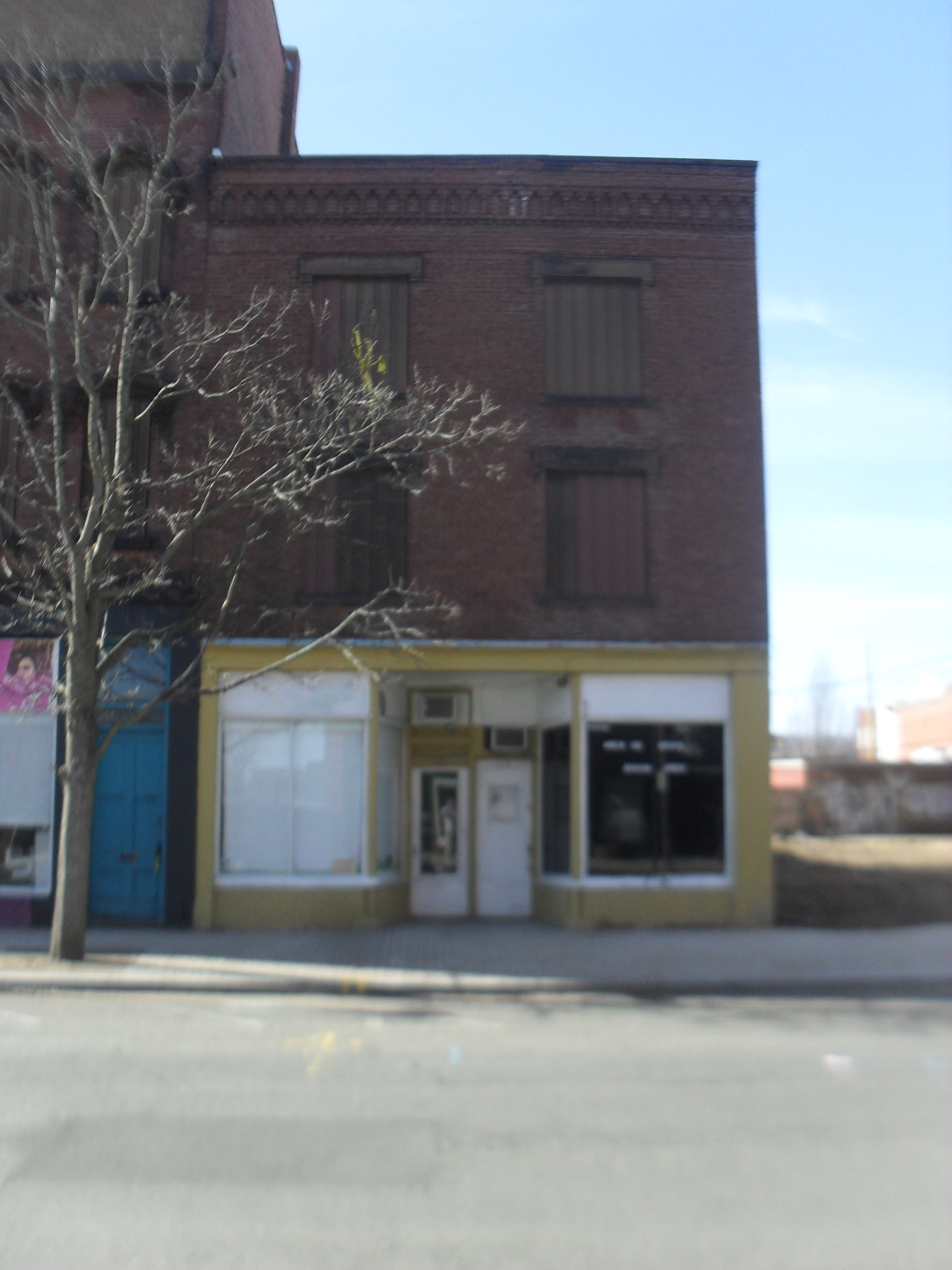
The Higgins Block at 117-119 High Street was made in 1860 as a simple Italianate building. The first occupant was Dennis Higgins a grocer and he lived there too. The second occupant was a Johann Fenton.
Sanborn map analysis:
Sanborn 1884 map is 3 floors and a market is there
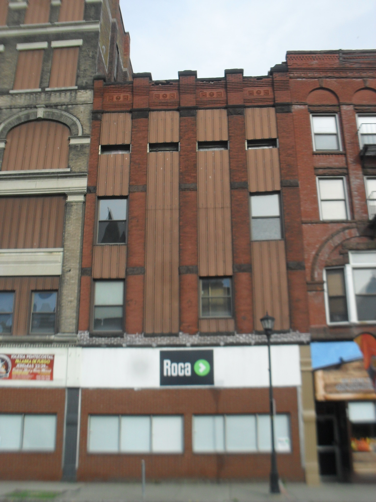
The building called City Dye House is found at 386-388 High Street. It was built in the late 1880s.
Sanborn map analysis:
Sanborn 1884 map shows the entire city block is empty
Sanborn 1895 map shows that it is four floors
Sanborn 1915 map shows that it is four floors
Sanborn 1949 map shows that it is now part of the furniture store next store and that it is connected by a walkway bridge on the 3rd floor and by a tunnel in the cellar to the buildings behind it for storage and display of furniture
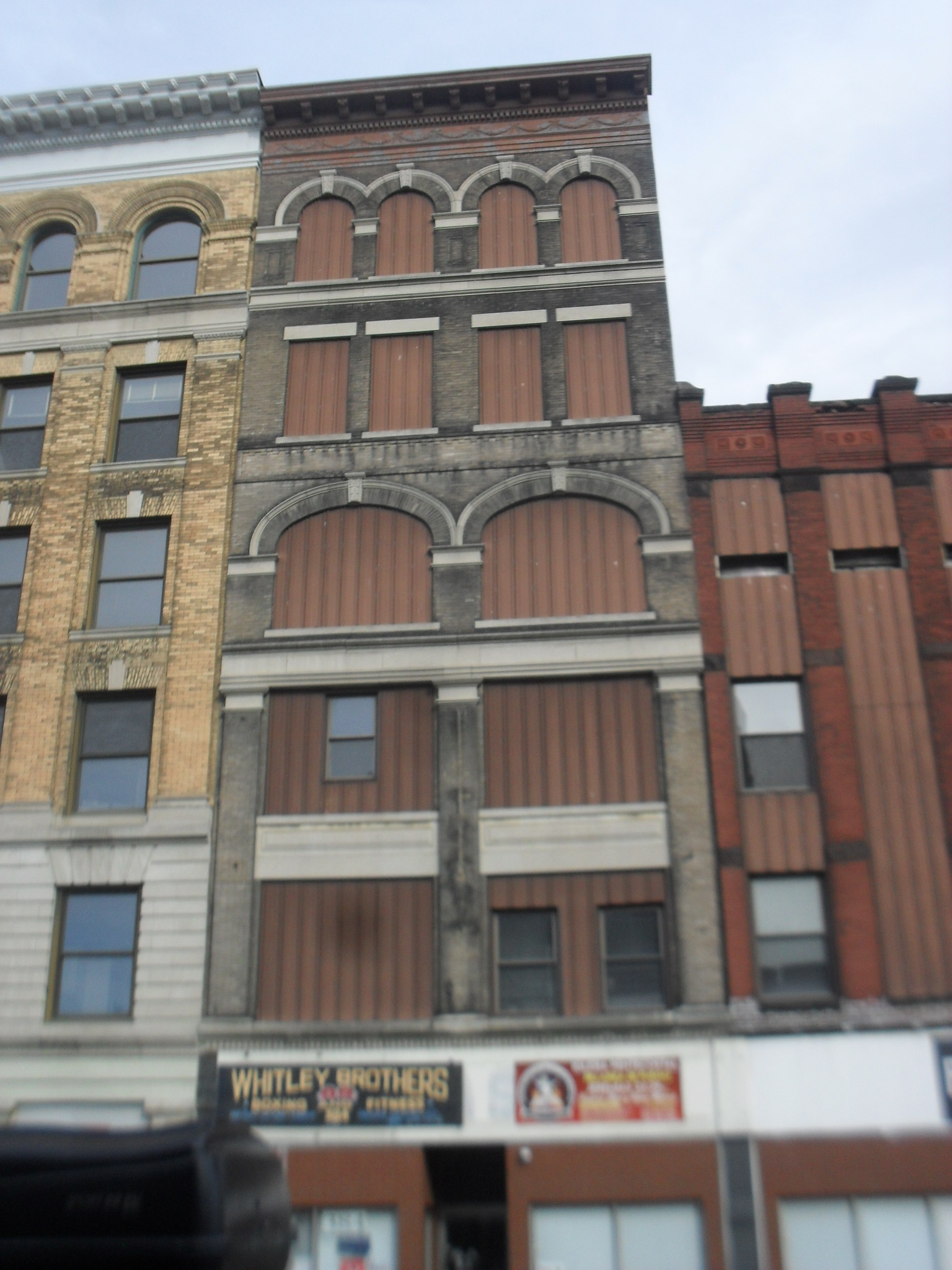
The McLean Building is from 1895. It is located at 382-384 High Street. It was built for the McLean Brothers who were furniture dealers. They started in 1881 on Main Street.
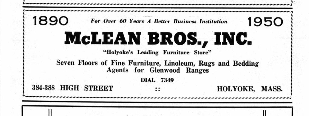
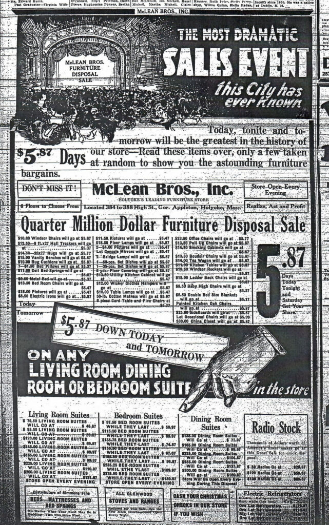
Sanborn map analysis:
Sanborn 1884 map shows an empty block
Sanborn 1949 map shows that it is now part of the dye house next store and that that dye house is connected by a walkway bridge on the 3rd floor and by a tunnel in the cellar to the buildings behind it for storage and display of furniture