
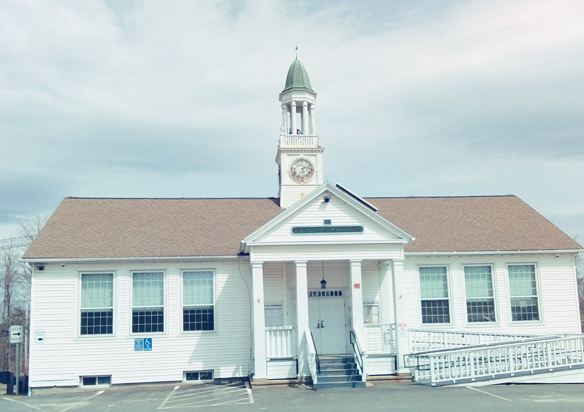
Goshen Center School is at 42 Main Street. It is from 1922. It is now the Goshen Town Hall. The library is nearby.
Goshen Center School is at 42 Main Street. It is from 1922. It is now the Goshen Town Hall. The library is nearby.
John Williams Tavern and Post Office is at 2 Williams Drive and is from 1779.
Williams became a Baptist and had the church and parsonage built with the parsonage being now at 1 Williams Drive. The church was destroyed by fire in the 1870s. It was replaced by a barn in 1875 and is at 12 Cape Street.
Williams Boltwood House (external link)

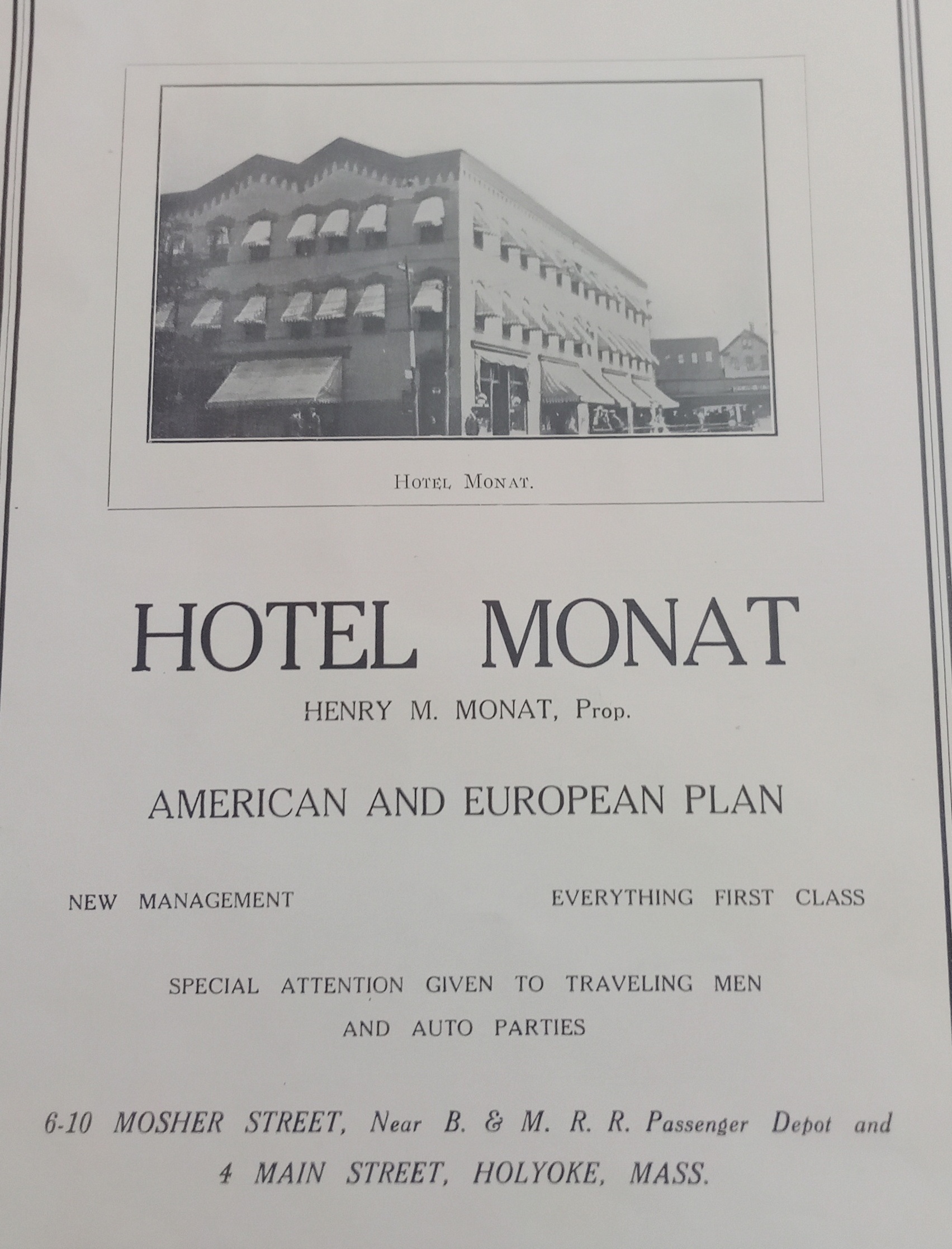
Hotel Monat in Holyoke
This building on Mosher Street was built in 1884. It was three floors high and had stores on the ground floor (fruit, barber, and a bar) and a chemical company on the second floor. By 1895 it now had a hotel on the upper stories and was called the Norris House. The Hotel Monat came into this building and expanded it backwards. By 1949 the Hotel Monat had two restaurants – 4 Main and 2 Mosher. The establishment was owned by Henry Monat.
Across the street from the Monat was the Robert Russell building. This area would become an auto repair shop in the 1910s with wood buildings and then masonry buildings. At the southwest corner of Mosher and Bower Streets, there was a railroad turntable.


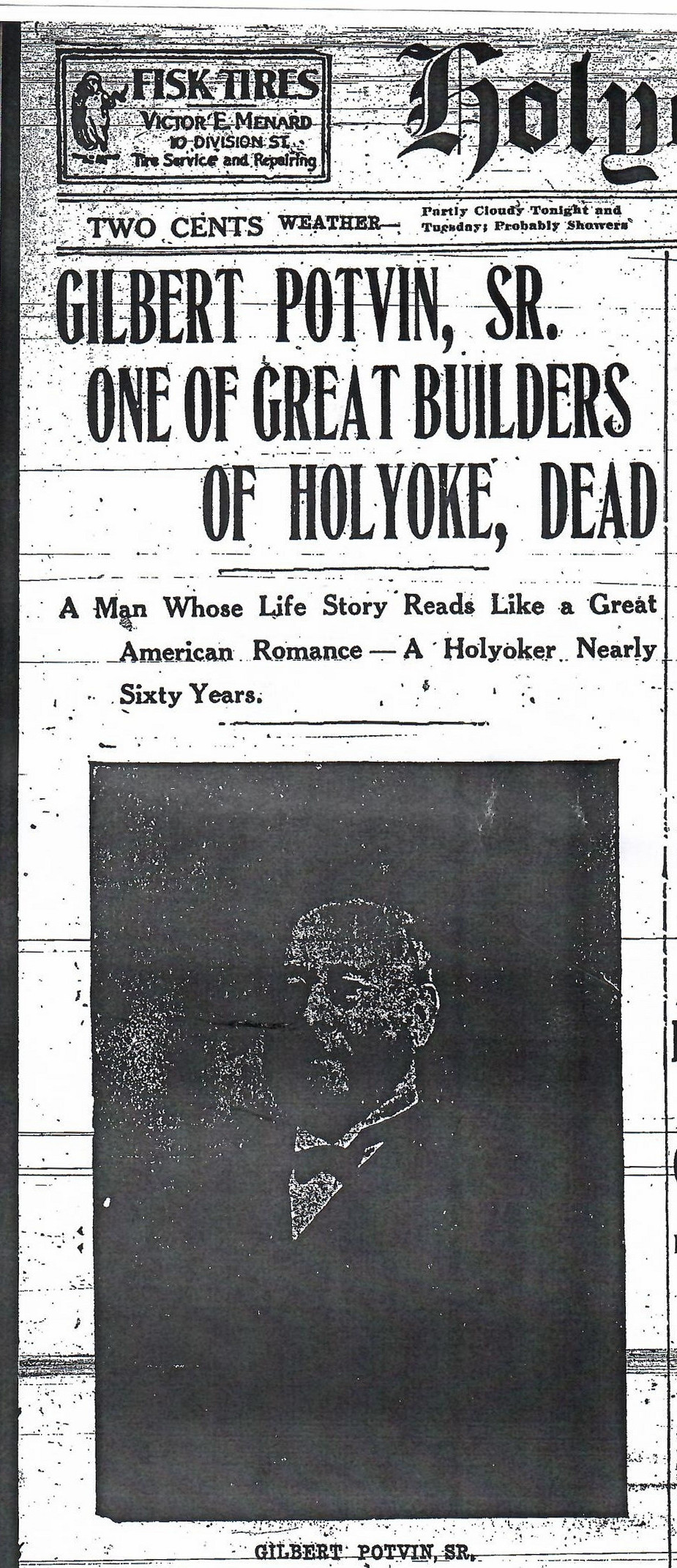
Potvin Tenement Houses (Holyoke)
Across the station alongside Lyman Street many apartment buildings were constructed. Behind these structures there was a street that is not there any more called Potvin Street and then the 2nd of three trolley barns for the Holyoke Street Railway. TROLLEY
The tenement houses across Lyman were all built in the same style and by the same owner. Gilbert Potvin (FINDAGRAVE) had the Lynch Construction Company built 13 tenement houses along Lyman here and in a row onto the adjacent streets to form a long series. All were attached to the closest one by an elevated walkway on each floor. These wooden walkways lasted from the construction in 1880 until at least 1895. (They were on three Sanborn maps but not that in 1915 – at that point windows are in their place) Each building was 4 stories high and had the same dimensions.
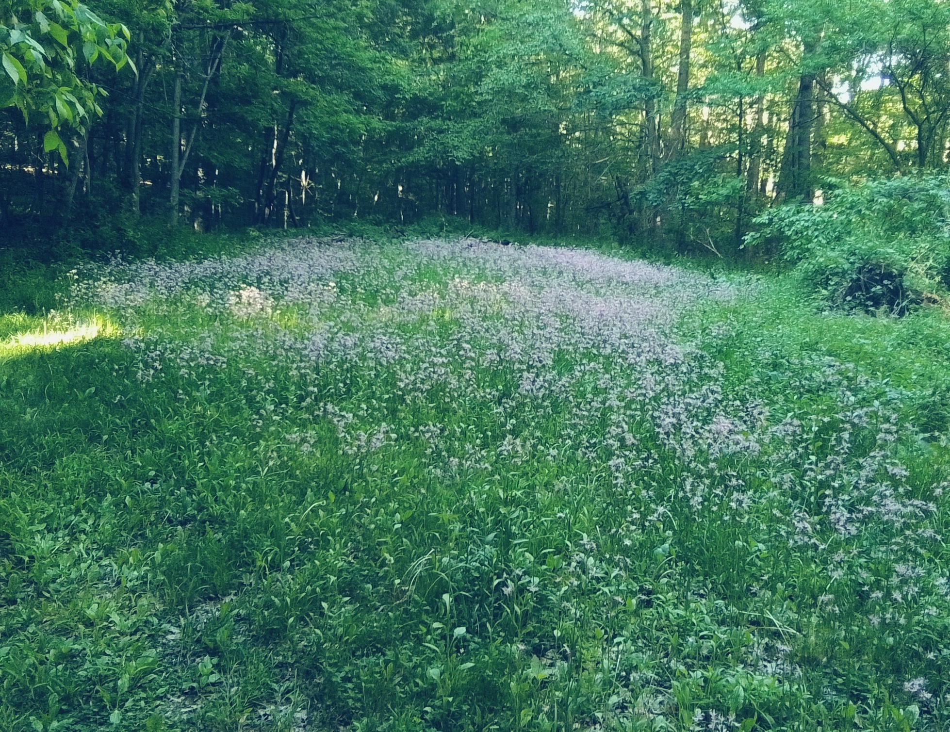
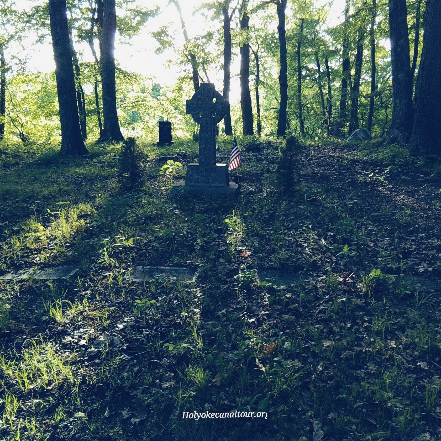
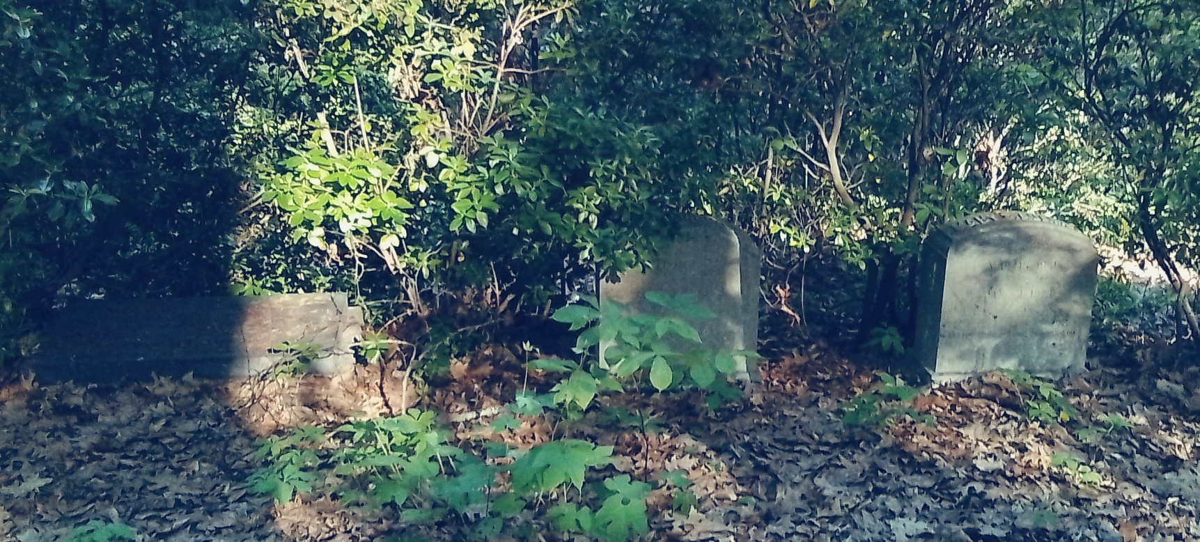
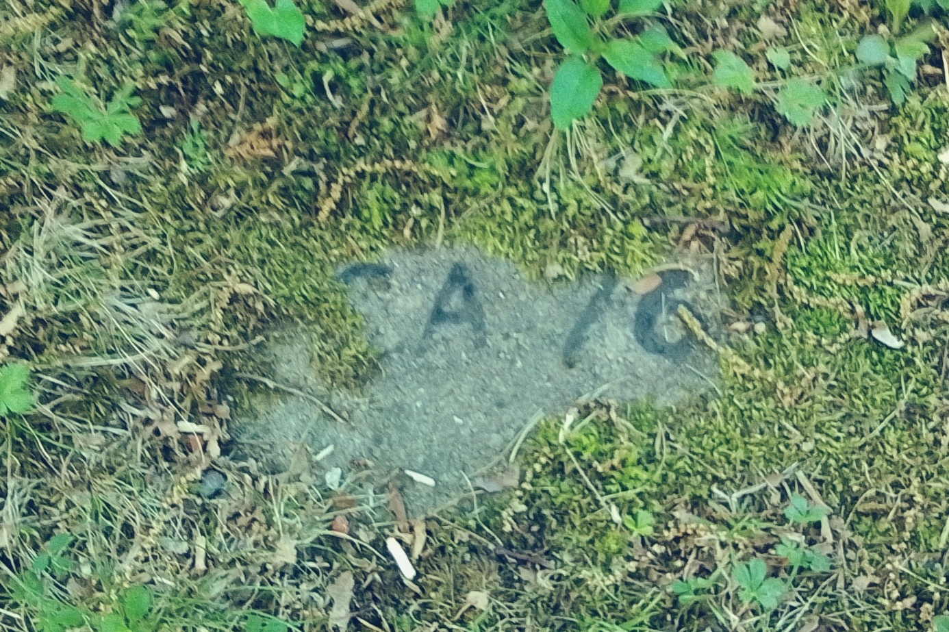
Town House Cemetery
Blueprint for the cemetery (external)
Paige family stones at the Wildwood Cemetery in Amherst
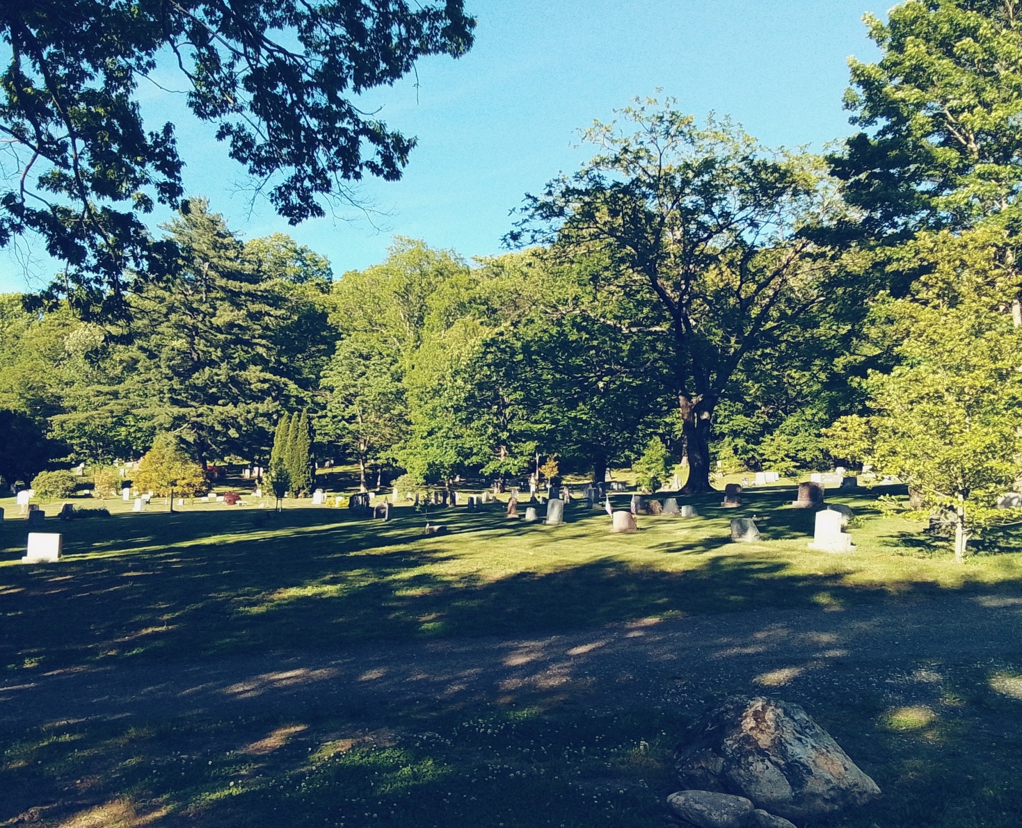
Landscape of the Wildwood Cemetery
Interesting Burials in Wildwood Cemetery in Amherst
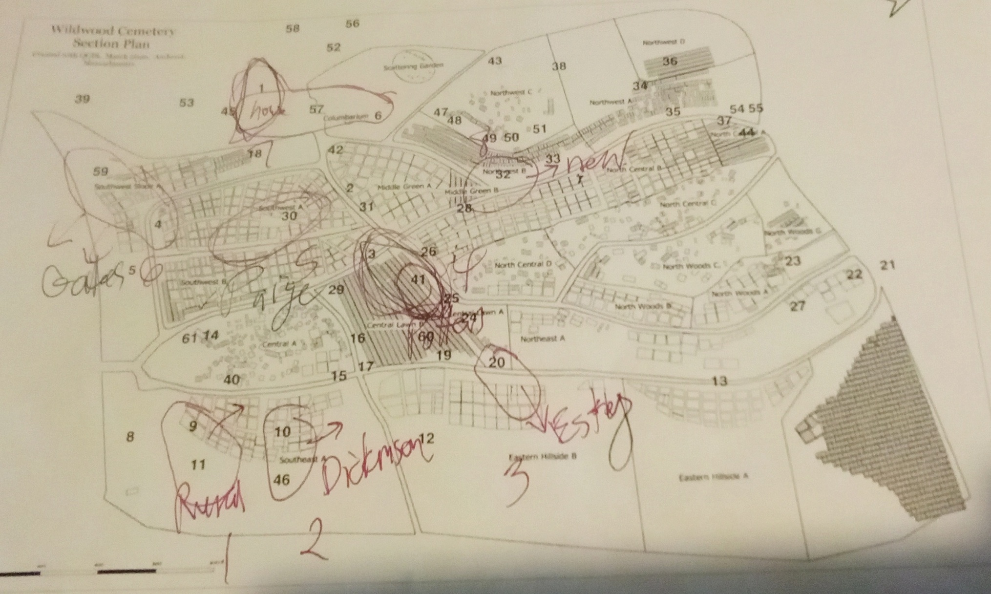
Stop 1 – Natural Rural Cemetery – this type of cemetery uses nature to show off the beauty of the landscape. The other subtypes within the rural cemetery movement are garden, park, monumental, and romantic. A park style would be with only flat gravestones. A garden style would have stress on plants such as flowers and bushes. A romantic substyle would use a mix of ponds, chapels, winding roads and paths, and terrain to evoke romance. A monumental substyle would use an arrangement of large gravestone that has beauty to it in its random orientation of the stones. Just to the east of this section is the former potters field. One peculiar gravestone is on a trail to the east that of Charles Church and his wife. FINDAGRAVE Perhaps his son Charles is there too.
Nice trees in this first area are the 9 = Eastern Red Cedar and the 11 = Katsura.
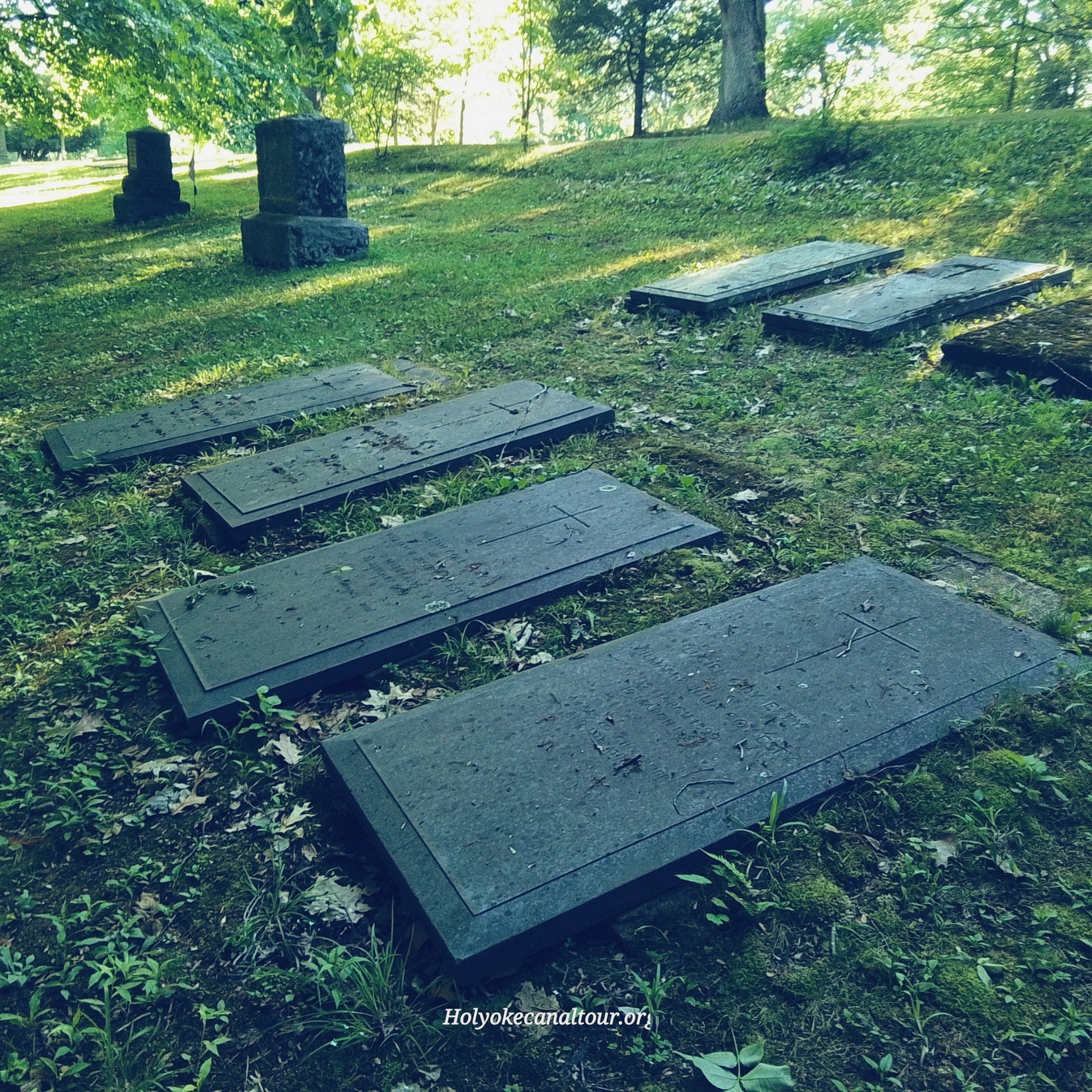
Stop 2 – Dickinson Family – William Austin Dickinson helped greatly in the design and funding of this cemetery. His wife and children are buried in back of his stone. Yes, Austin had a sister named Emily who is world famous as a poetess. The family uses ledger gravestones. William Austin Dickinson
Nice trees in this area are 10 = Ginkgo and 46 = Dawn Redwood.
Stop 3 – First Burials – The cemetery was started in 1887 and developed from there to be ready in 1889. Charles Adams was the first burial ever in this cemetery. His father Nathaniel Adams was moved into this cemetery as a reburial from an unknown cemetery. This perhaps happened in 1892 when Charles’ mother Hariette died in that year. Nathaniel Dickinson Adams LINK and son Charles Adams LINK.
As you walk from the Dickinson area to stop 3 you passed by the Esty family. They are buried with a series of ledger gravestones in the Eastern Hillside B section.
A notable tree here is the 20 = Kousa Dogwood.
Stop 4 – Flat Stones – This area uses flat stones only since any cemetery would want to arrange the area by stone shape and size to maximize the beauty. This section also has many old plot pegs visible. To the south of this area is a section that is positioned in a random arrangement.
Trees in this area to look at are the 3 = Larch and 41 = Sourwood.
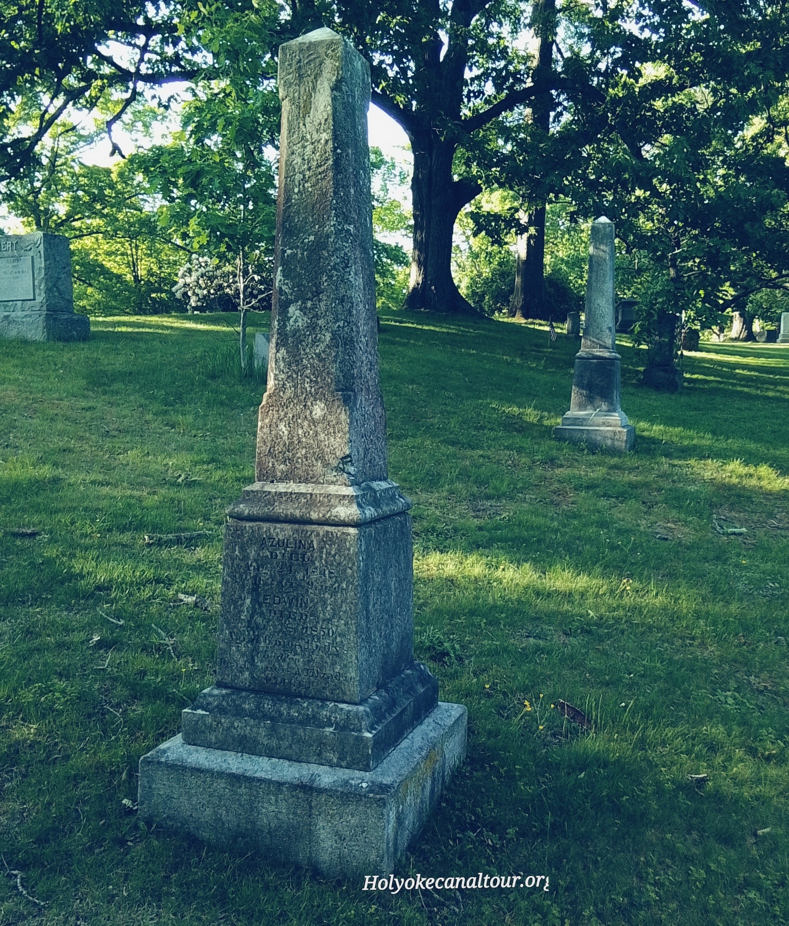
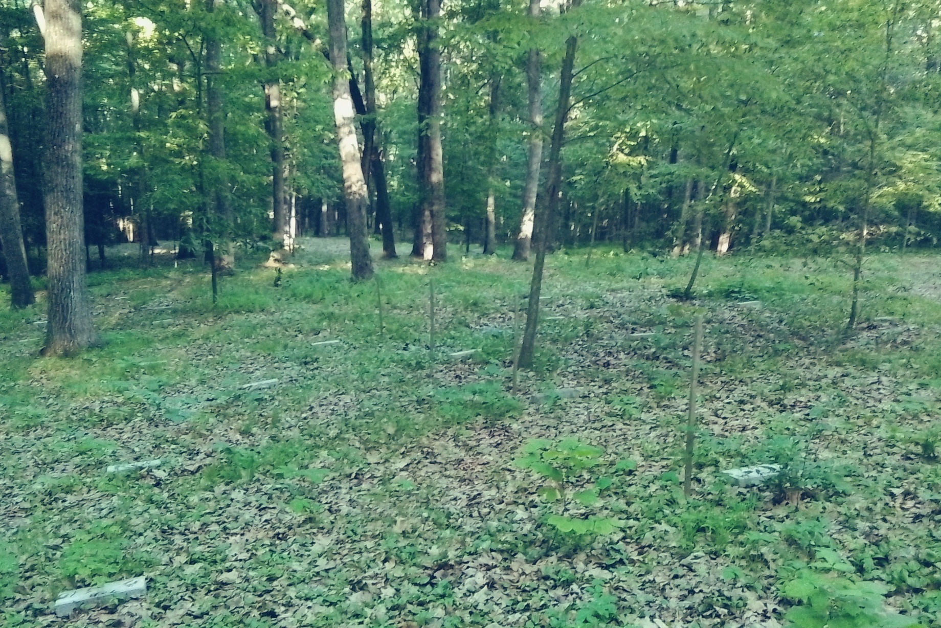
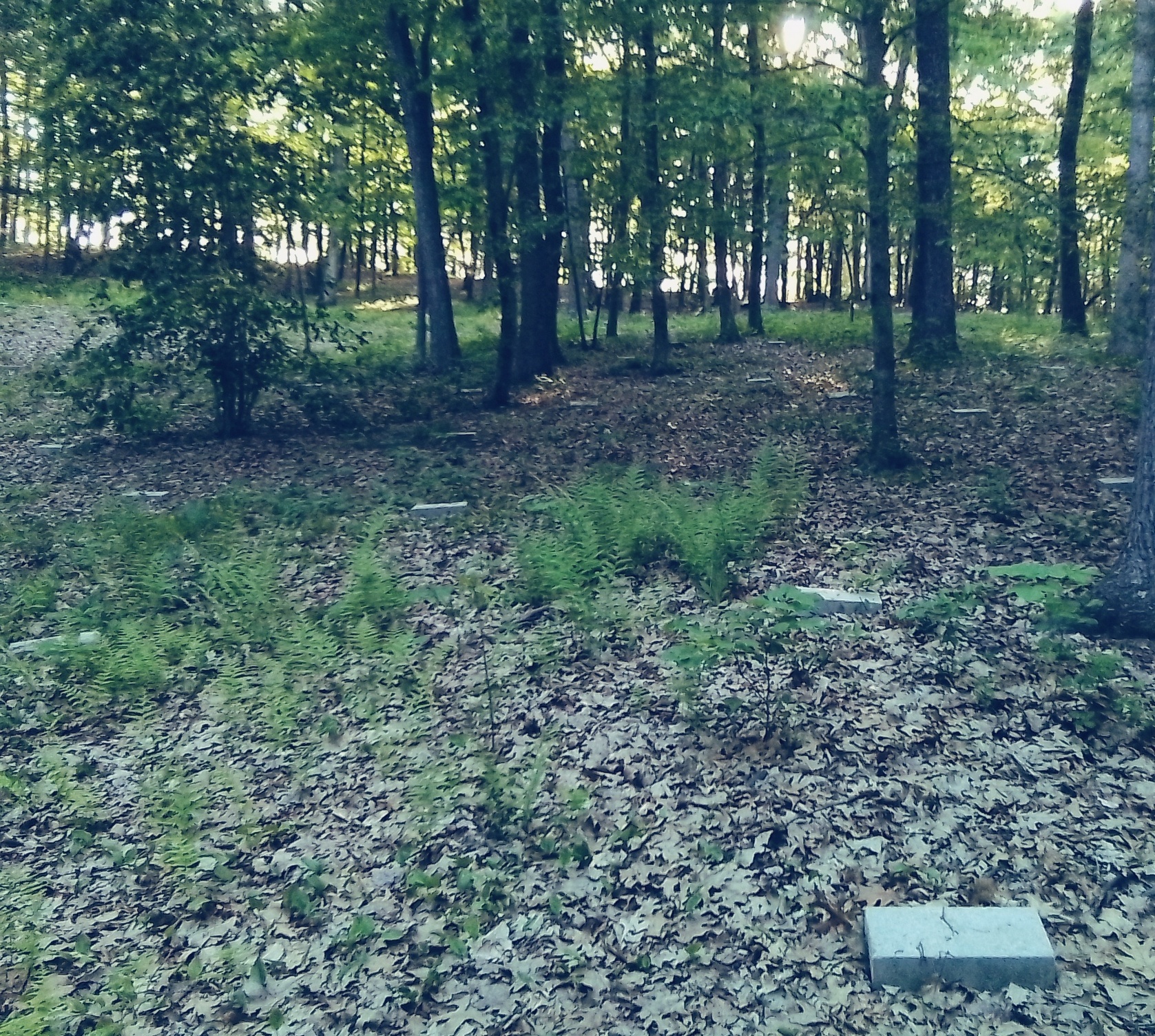
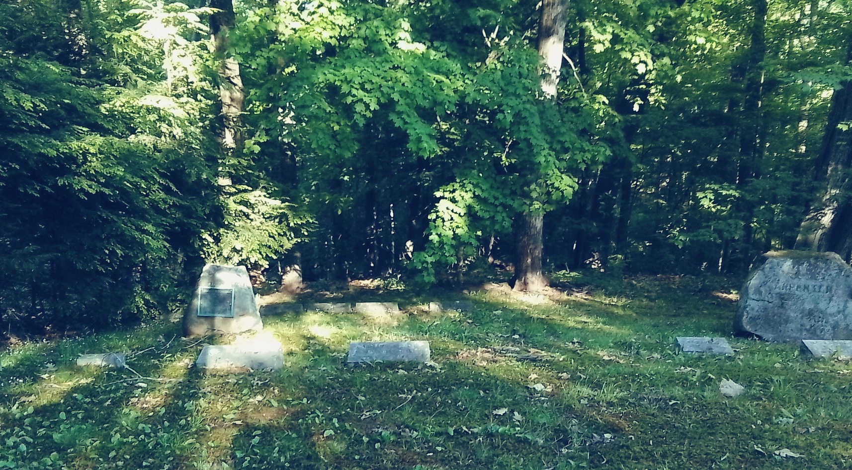
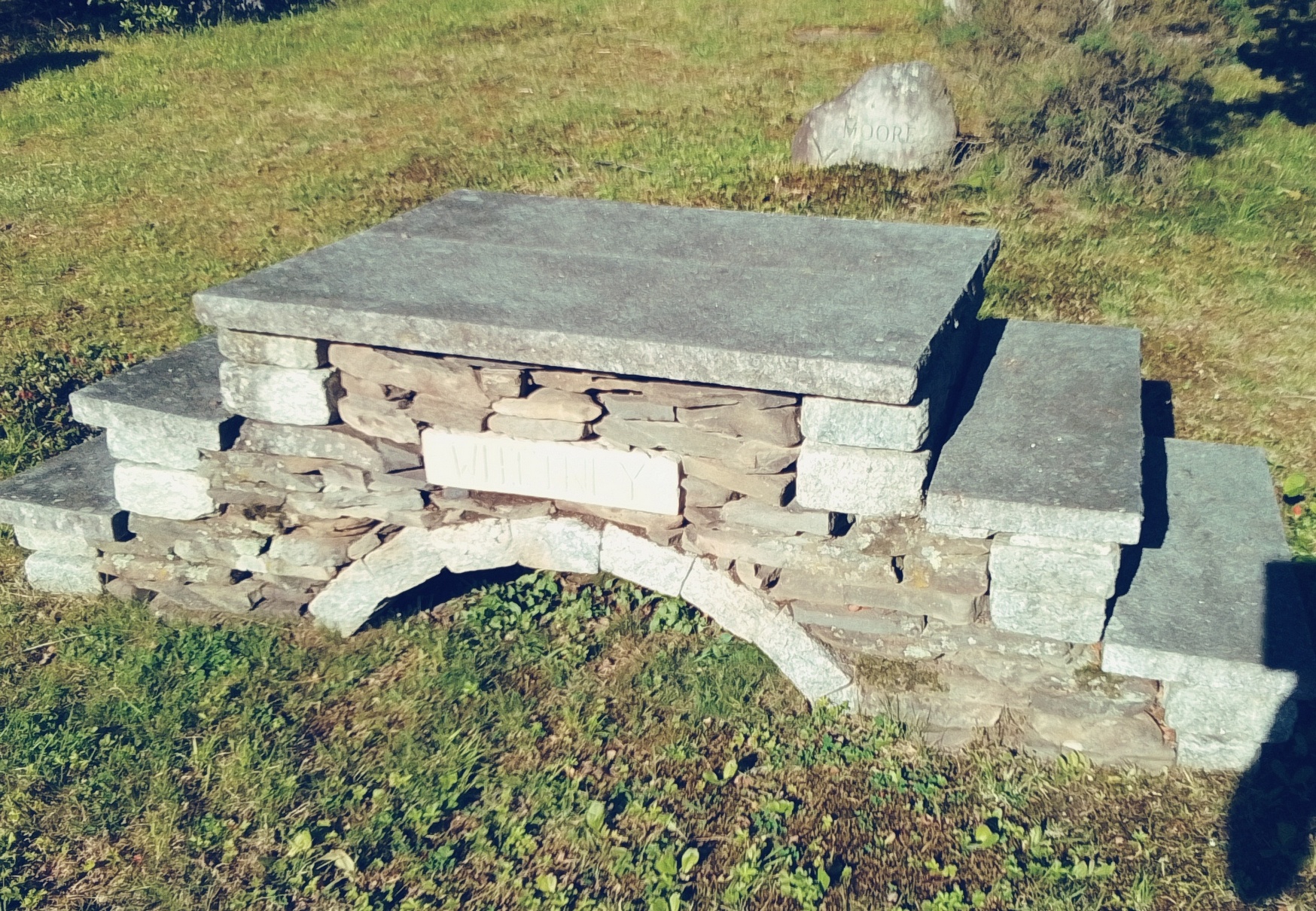
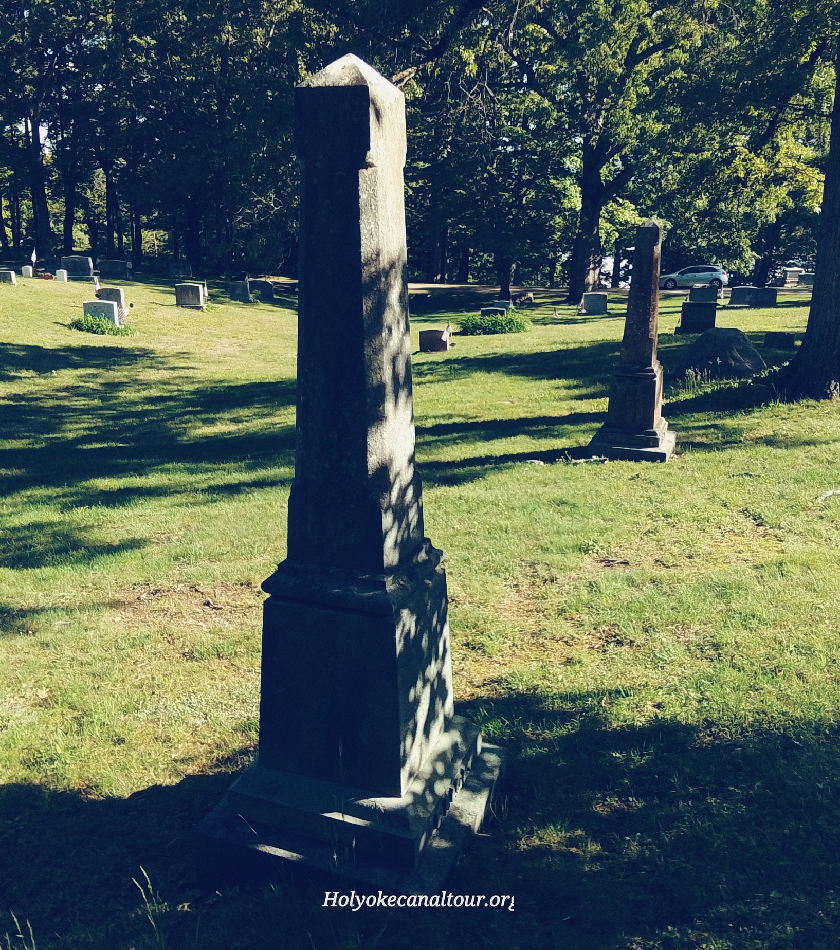
Stop 5 – Paige Family – There are two obelisk shaped gravestones here from the Paige family. These family stones were moved from the Town House Cemetery in Prescott. The Quabbin Reservoir was built in the 1930s and all cemeteries had to be removed from its basin. The aforementioned cemetery was in that basin.
Christopher Paige LINK – Christopher was buried in the Town House Cemetery of Prescott and then moved in 1938 to Wildwood Cemetery of Amherst Massachusetts during the reburials due to the construction of Quabbin Reservoir. Same for his wife Judith and also for Elisha Haskins and his wife Phoebe. Also the infants Azulina Paige and Edwin Paige.
Elsadie Paige is a good start to explain part of the family. Look at her Findagrave PAGE – On the page, her parents, her spouse, her 2 sisters and 1 brother, and her 5 children are all moved from that Prescott cemetery and their gravestones have these 10 members of the family. There are also 4 other Paige family gravetones in that area to form a very large family plot. Elsadie Paige’s son James died in 1922 and was the first of the Paige family buried in this cemetery. This would lead to others being reburied here.
A 30 = Pin Oak is closeby.
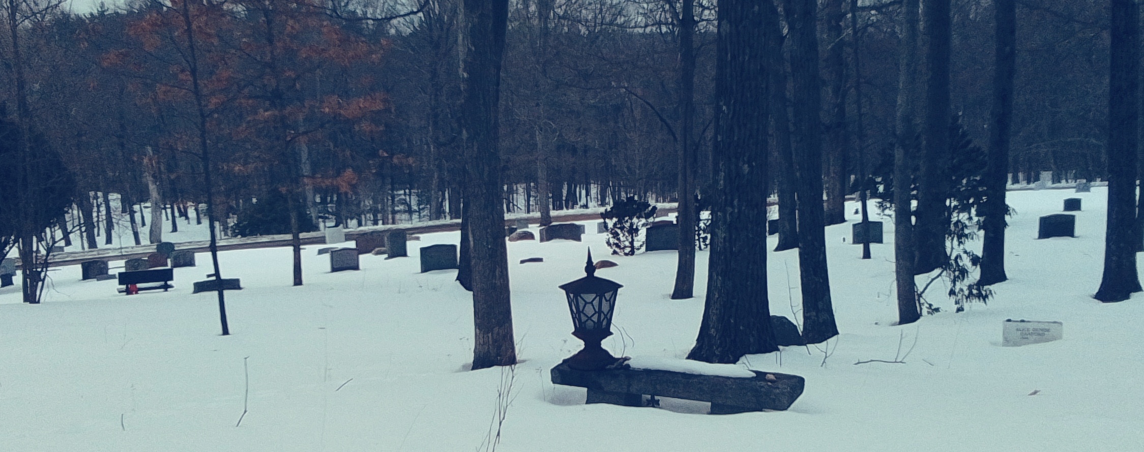
Stop 6 – Conservation Land and Nature Land around the Cemetery
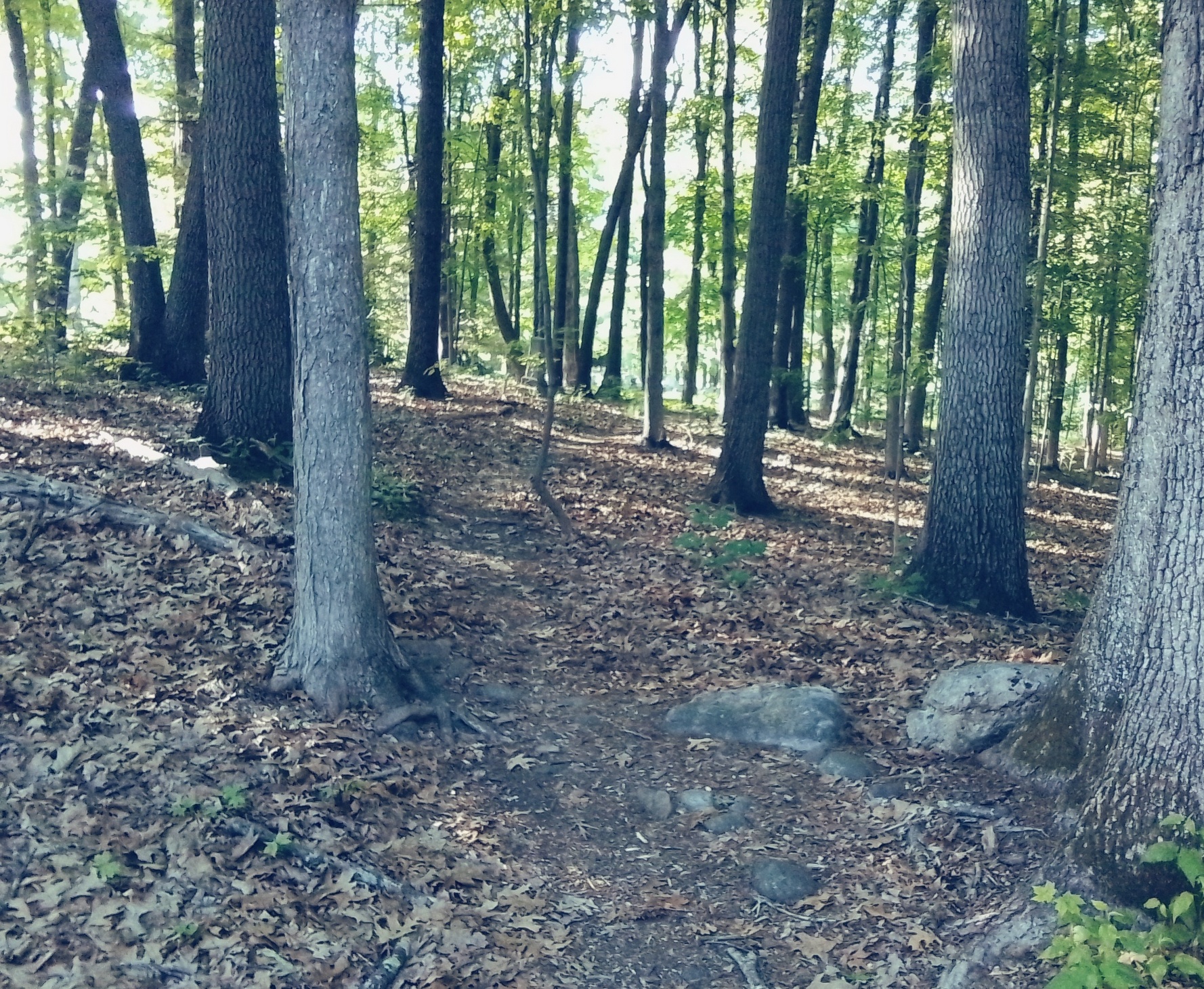
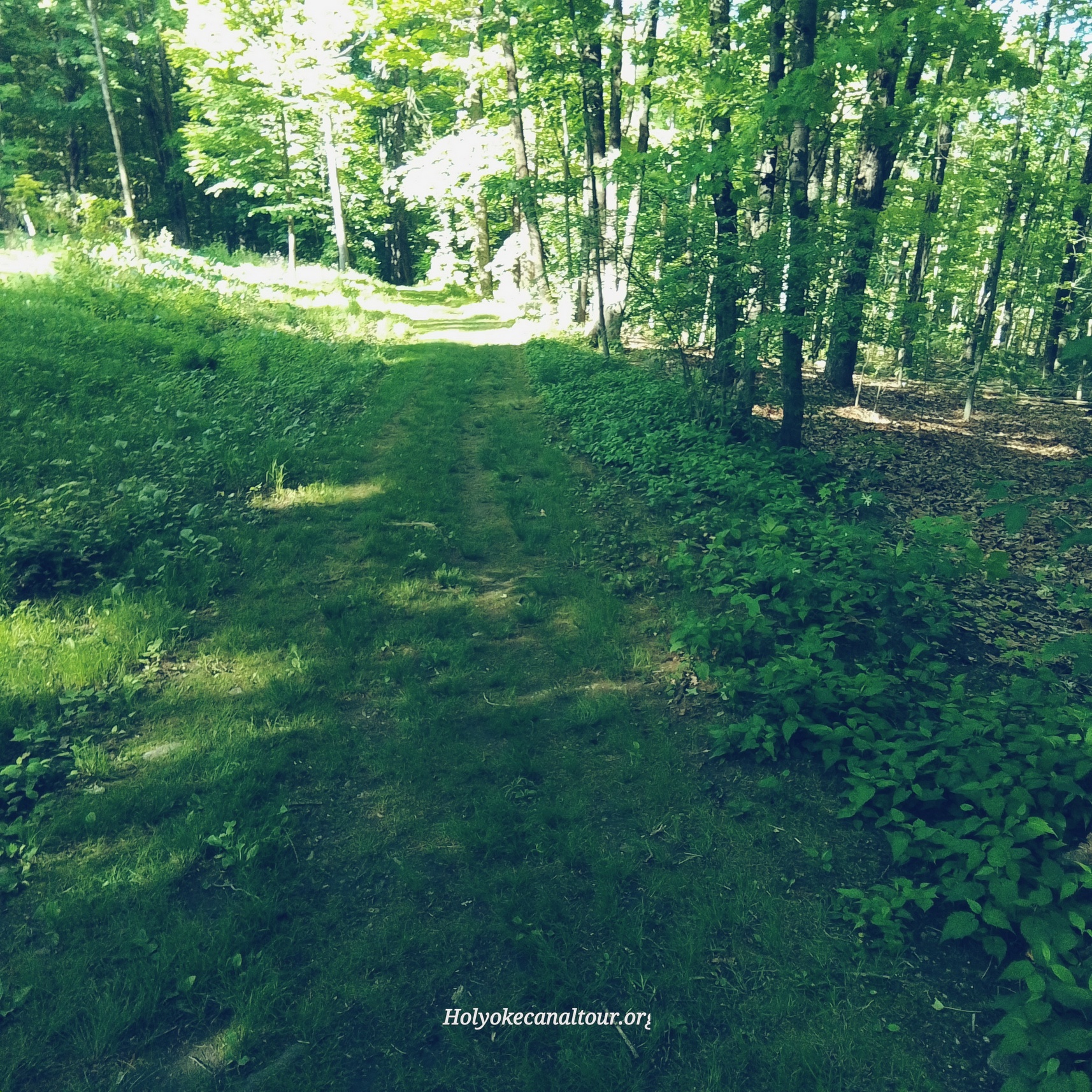
There is a conservation land that borders the cemetery plus two nature areas. The nature area across the street has a fine view. This land to the south of the cemetery belongs to the Wildwood Cemetery and you can walk on it. The land to the northeast of the cemetery once belonged to Wildwood and it is held as an Amherst conservation land. This is the land with a large water vat. The land to the southeast within the cemetery is now a nature area with a trail.
Wonderful trees nearby are 59 = Tulip Tree and 4 = Sassafras.
Stop 7 – Dickinson Chapel House
The house is now an administration center but was once a residence. It was converted into a chapel for the cemetery but is no longer. The house in the cemetery is from 1790 and is the L Dickinson house. The chapel was donated in 1897 by the owner of the Dickinson at that time.
Fidelia Dickinson is buried in the West Cemetery of Amherst – FINDAGRAVE Her husband is Joseph Dickinson Jr and her father in law is Joseph Dickinson Sr. When this Joseph Sr married Sarah Hunt in about 1795 they must have had the house built.
Tree to the side is the 1 = Butternut.
Stop 8 – Other Areas and Art Works
There is a 32 = Black Gum at the start of the modern burial area. This area at its start has a memorial garden.

Eunice Day (Holyoke)
Eunice Day was the mother of 11 children with Joel Day. Joel and Eunice are first cousins with the same last name Day. Joel and 5 of the sons fought in the Revolutionary War. Robert died (August 27 1777) and is buried in Ticonderoga New York. He was not a soldier but rather was bringing supplies and food to the fort with a group. He was ambushed and killed. Edward died that same year of 1777 while in Troy New York. He was hurt in a skirmish and died a few days later of an illness (October 25). The Daughters of the American Revolution chapter in Holyoke called themselves the Eunice Day Chapter. If existed from October 21 1922 (chartered February 12 1923) to the 1980s. It merged with the South Hadley chapter in the 1990s and was called the Dolly Woodbridge – Eunice Day Chapter.
Day family gravestone in Holyoke
| name | born | died | burial | |
| father | Joel Day | Elmwood | ||
| mother | Eunice Day | Elmwood | ||
| 1st | Joel Day | 1751 | 1830 | Elmwood |
| 2nd | Tryphena Day | 1753 | 1803 | Ashley in West Springfield |
| 3rd | Jedediah Day | 1755 | 1839 | Elmwood |
| 4th | Edward Day | 1759 | 1777 | Elmwood |
| 5th | Eli Day | 1761 | 1833 | Smiths Ferry in Holyoke |
| 6th | Robert Day | 1764 | 1777 | Elmwood |
| 7th | James Day | 1768 | 1841 | North Cemetery in Gill |
| 8th | Alexander Day | 1769 | 1848 | Elmwood |
| 9th | Eunice Day | 1770 | 1844 | Elmwood |
| 10th | Lucy Day | 1774 | 1842 | Elmwood |