Reservoir System after the 1955 Hurricane

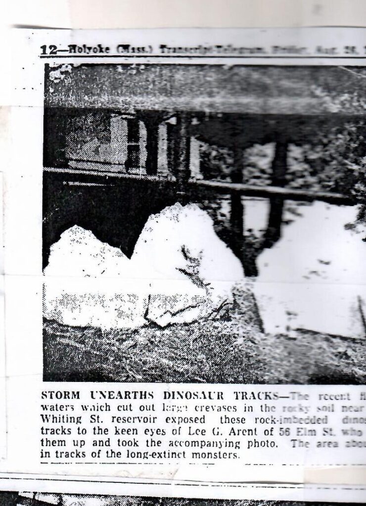
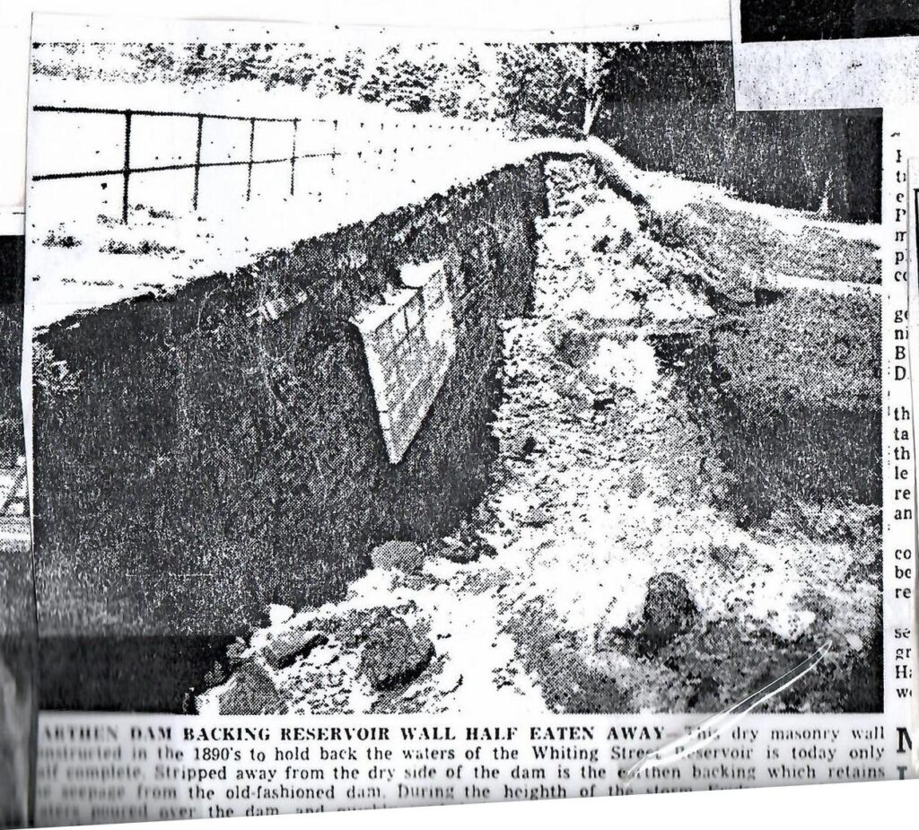
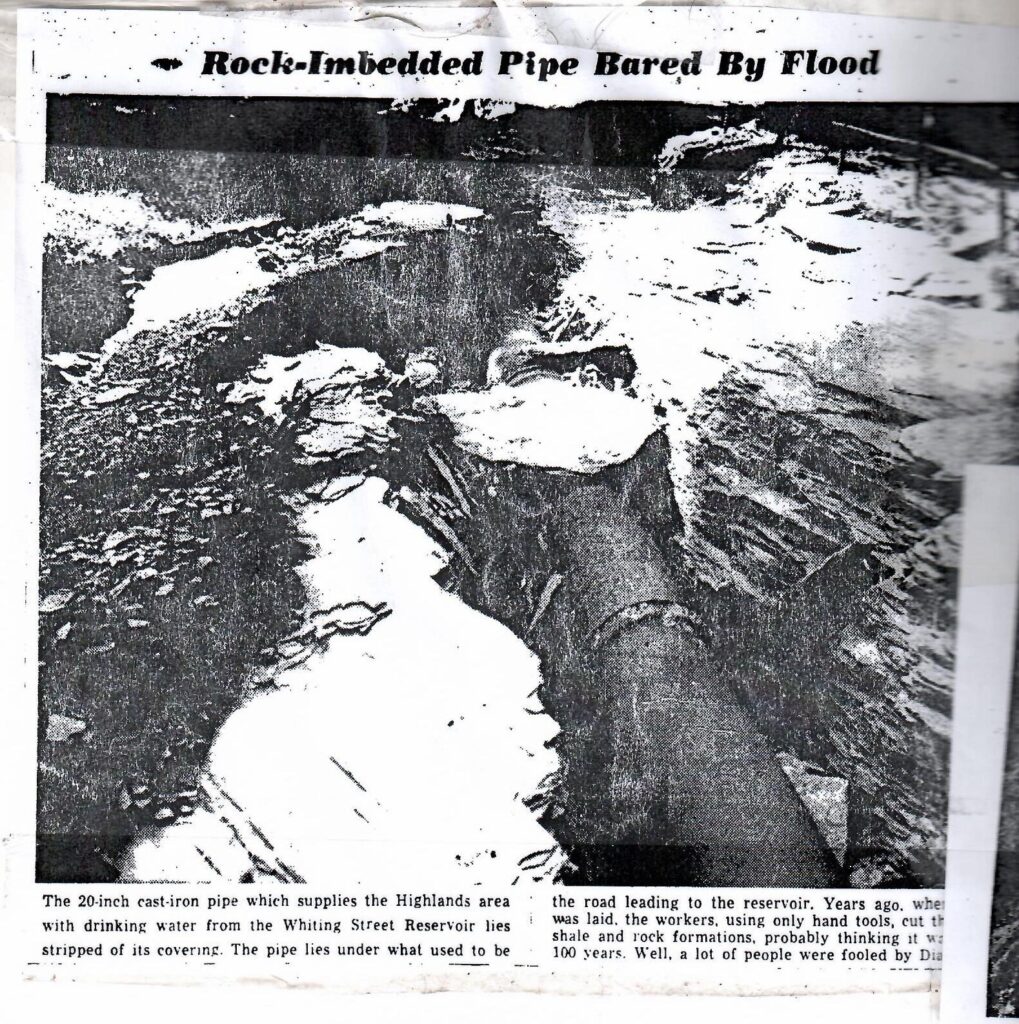
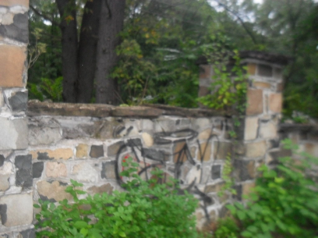
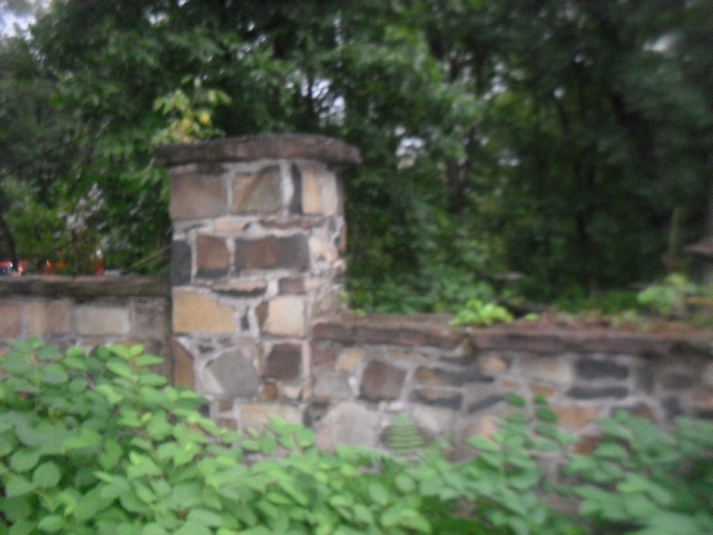
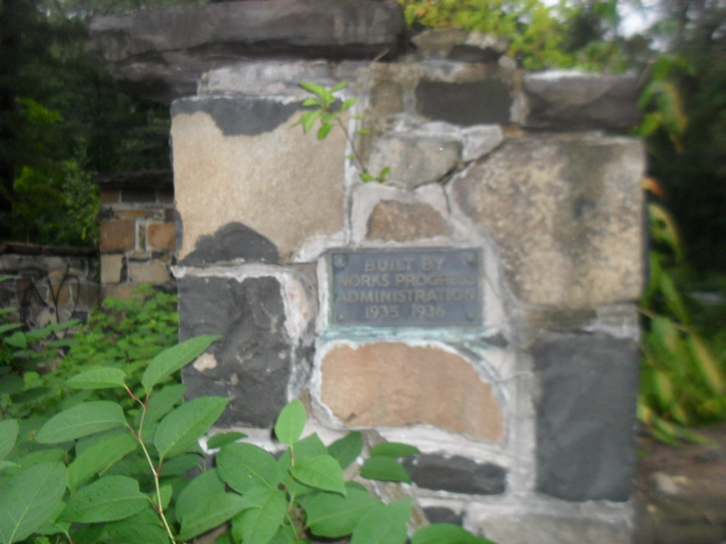
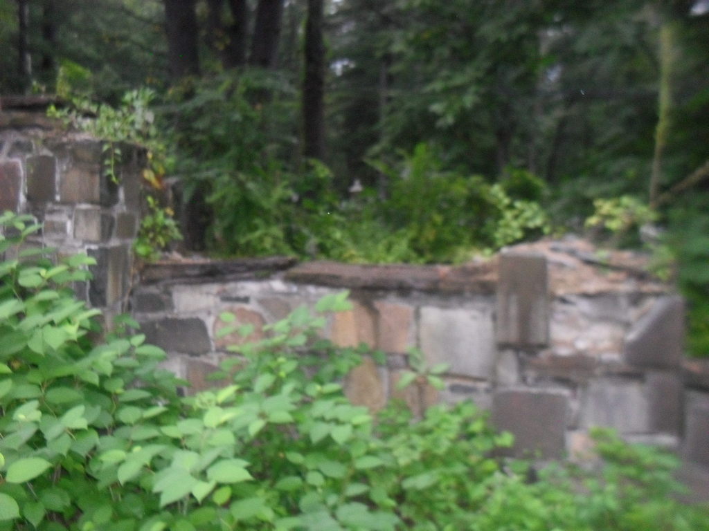
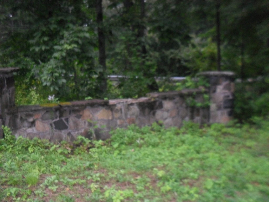
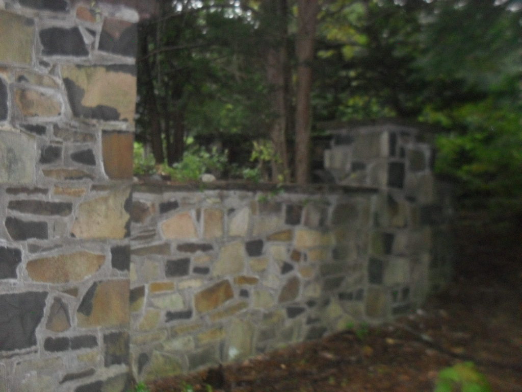
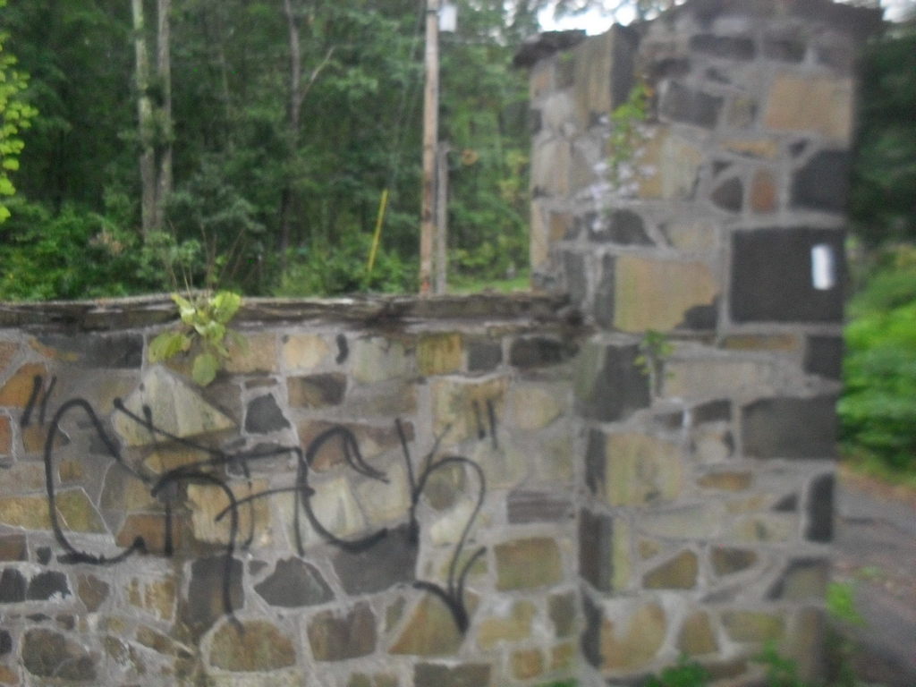
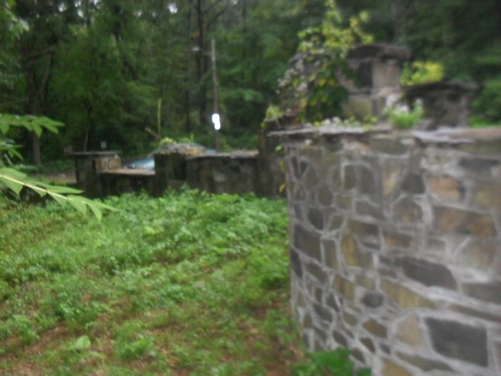
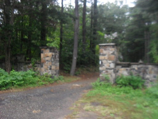
Whiting Street Reservoir after the Hurricane of August 18 and 19 1955

This image has an empty alt attribute; its file name is whitings_0011-740x1024.jpgThis image has an empty alt attribute; its file name is triplets_0001-1006x1024.jpg
This image has an empty alt attribute; its file name is whitings_0012-1024x925.jpg
This image has an empty alt attribute; its file name is whitings_0010-1019x1024.jpg

  • mains from Ashley and McLean breeched at corner of Beech and Northampton Streets
  • White Reservoir berm collapsed
  • Intake Reservoir filled with sediment
  • Carmody Reservoir had the southeast corner of its embankment washed away
  • Manhan was under construction so not much happened
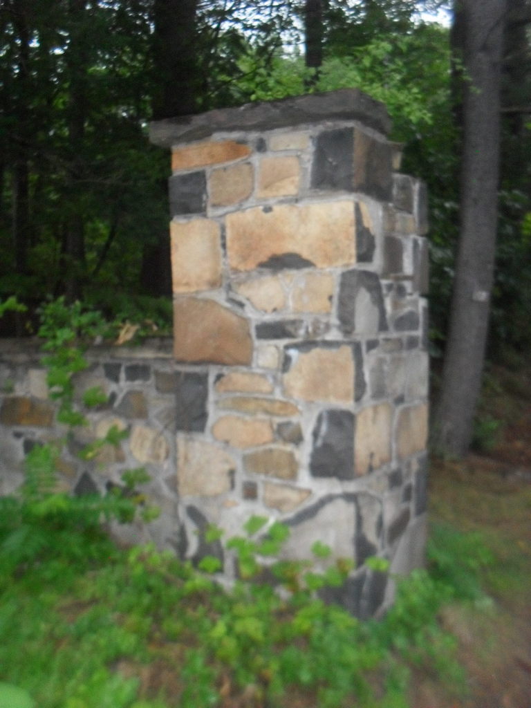
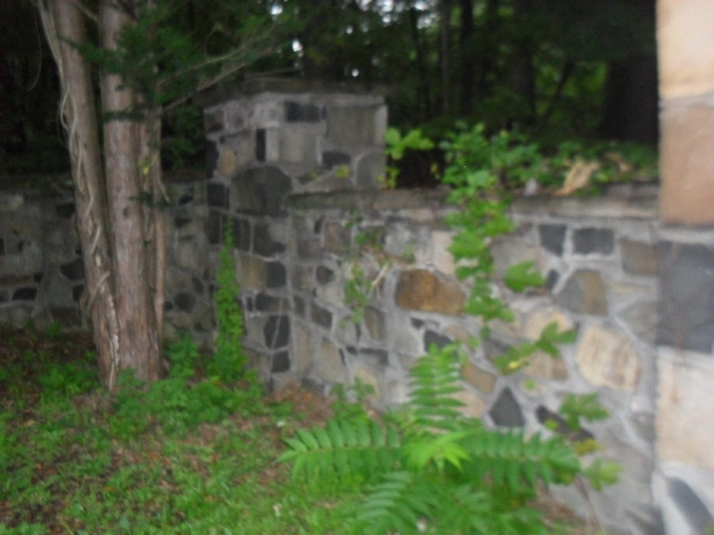
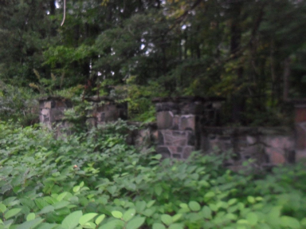
  • Whiting Street had $55,000 in damage to the berm
  • Ashley had damaged roads, culverts, and guard rails
  • Bray Reservoir Dam breeched and damages estimated at $30,000

Lynch Brothers Block

The Lynch Brothers Block at 313-319 High Street was a two and four floor block.

In 1922, at 313 High was Brown’s Bootery.

By 1930 it had become the next home of the YMHA and the YWHA.

In 1883 at 317 High was Lamay Paper Hanging.

Sanborn map analysis:

Sanborn 1884 map it is a 4 floor structure with some tiny buildings to its side

Sanborn 1889 map shows the same

Sanborn 1895 map

Sanborn 1915 map

Sanborn 1949 map shows a two and four floor block

Sanborn 1956 map shows a two and four floor block

291 to 299 High Street

This building area is now a small building. In the 1885 city directory the L’Esperance Building was at 291 to 299 High. It was the home of Naumkeag Clothing. It was ornate but the facade is replaced.

LINK

This image has an empty alt attribute; its file name is sheets_0006-849x1024.jpg

From 1912 to 1940 it is being called the Gallup’s Building and was built in 1910.

1931 ad

Sanborn map analysis:

Sanborn 1884 map shows nothing is there

Sanborn 1889 map shows a one floor building

Sanborn 1895 map shows a one floor building

Sanborn 1915 map shows a 2 floor building

Sanborn 1949 map shows a 2 floor building

Sanborn 1956 map shows a 2 floor building

Masonic Hall

1900 orders

The Masonic Hall at 278 to 282 High Street is still there but in lowered form. It once was 4 floors but now is one. Before the Masons built here it was called the Allyn’s Block.

In 1922, it is still the Masonic Hall but also the American Legion is here.

Sanborn map analysis:

Sanborn 1884 map

Sanborn 1889 map there is a one floor building

Sanborn 1895 map there is a one floor building

Sanborn 1915 map shows 4 floors – stores, offices, club, and then lodge room

Sanborn 1949 map

Sanborn 1956 map