Holyoke City Hospital

Hospitals of Holyoke

Holyoke City Hospital was made in 1893 from the donations of wealthy Holyokers.

There have been many hospitals in Holyoke over the years. City Hospital was built in 1890 by the leading industrialists of the city. The hospital had land both in front of and in back of the hospital buildings. There it made winding dirt paths. It also held land across Beech Street. This was acquired by the city in 1907 as an addition to Elmwood Park. Holyoke Medical Center WEB page. (LOCATION)

1913 ad

Sanborn map analysis:

Sanborn 1895 map

Sanborn 1915 map

Sanborn 1949 map

Sanborn 1956 map

Bishop Block

The Bishop Block was owned by the Bishop family for years. It is at 287-289 High Street.

Boston Butter House

1908 ad

By 1915 it is called the O’Connor Building and Edward O’Connor sold clothes.

In 1908 the New York Butter House is here but they would move up to the next block on High Street in later years.

Sanborn map analysis:

Sanborn 1884 map shows a four floor structure in place with the tenant being a pharmacy

Sanborn 1889 map shows a four floor structure

Sanborn 1895 map

Sanborn 1915 map

Sanborn 1949 map

Sanborn 1956 map

Mountain Park

Mountain Park started in 1895 in Northampton just over the border from Holyoke. It was trolley owned from the start. It has evolved through the years to suit the needs of the owners and the community.

Mountain Park was a animal park and a theater area under William Loomis. An extension of the trolley passed along the road above. See the trolley MAP. The trolley ran from Holyoke to Mountain Park every half hour from 6 AM to midnight. The Holyoke Street Railway under Loomis operated the city trolley system. The Mount Tom Rail ran up the mountain. There was a third piece of the trolley route from the park to the base of the mountain.

William Loomis was a great benefactor to Holyoke. He gave his land to the Holyoke Home for the Aged. LINK

View of the drive around Whiting Street Reservoir in 1904.

The Casino has a wonderful history and you can read about it HERE. This is a link to the Jacqueline Lynch book “Comedy and Tragedy on the Mountain”.

In 1929 it changed to a park with many large rides such a roller coaster (under Louis Pellessier) and a Merry-Go-Round. In 1952 it changed again into an Art Deco amusement park with a midway under John Collins. Read about the Mountain Park era from this BOOK.

It closed for good in 1988. For a few years concerts were held here.

Sanborn 1915 map

History of Medical Care in Holyoke

The History of Medical Care in Holyoke is a lengthy topic.

namereasonlocationinformationstartend
Providence Hospitalgeneralinformation1873
Holyoke HospitalgeneralBeech Streetinformation1893
Carpenter Hospital (Isolation Hospital)tuberculosisCherry Streetinformation19181937
Clarke Surgical HospitalSmith’s Ferryinformation1920
Infectious HospitalinfectionsJarvis Avenueinformation1918
Municipal Home Hospitalinformation
Pest Houseinfectionsinformation
Holyoke Contagious Disease Hospital (Holyoke Sanatorium)infectionsCherry Streetinformation19121937
information
information

Dr Paul Nathan

Trolley Parks of Western Massachusetts

Trolley Parks of Western Massachusetts

nameinformationcommunitycompanystartend
Mountain ParkinformationNorthampton – HolyokeHolyoke1895
Orient SpringsPelhamHolyoke
Berkshire ParkPittsfieldBerkshire
Foundation ParkGreat BarringtonBerkshire
Portoosus LakePittsfieldBerkshire
Valley ParkAdamsHoosac1891
Forest Lake ParkPalmerSpringfield
Pequot ParkWestfieldSpringfield
River Bend ParkRussellSpringfield
Marshall’s GroveEasthamptonNorthampton
Hosford’s GroveWilliamsburgNorthampton
Brookside ParkOrangeMassachusetts Northern
Wildwood ParkConwayConway

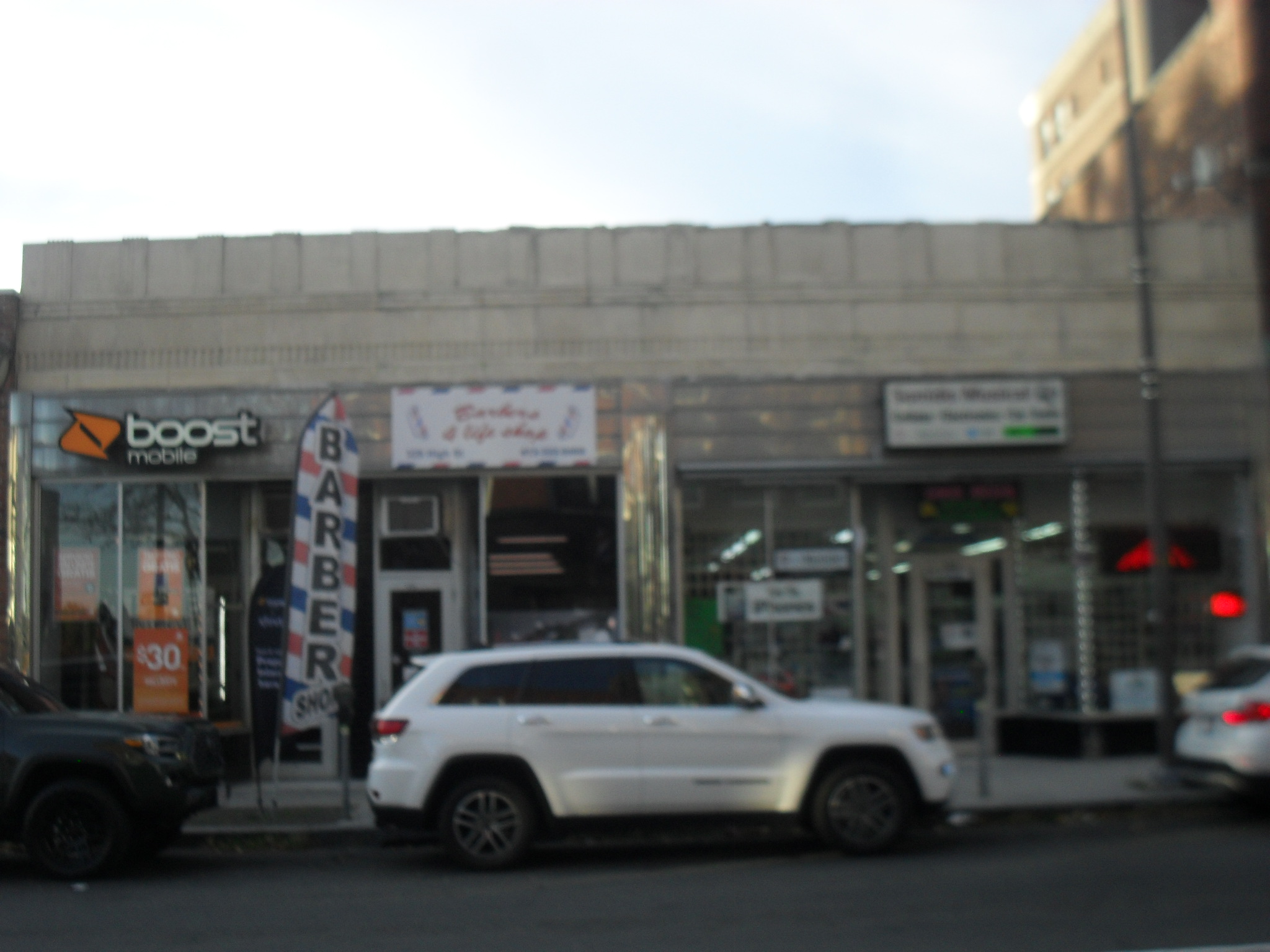
107-109 High Street

This building does not seem to have a name. Adam Ostrowski had 107 High to be an undertaker business. At 109 High the Ostrowski Brothers ran a saloon. Adam Ostrowski lives as a boarder at 105 High Street.

In 1919 Adam Ostrowski was arrested for selling wood alcohol.

In 1924 he is at Center Street in Chicopee again as an undertaker.

Block image

Block image

Others

Sanborn map analysis:

Sanborn 1884 map it is 2 floors and has a fruit dealer and a barber

Sanborn 1889 map and same as 1884

Sanborn 1895 map finally it is three floors and has an ice cream maker in back

Sanborn 1915 map

Sanborn 1949 map

Sanborn 1956 map