
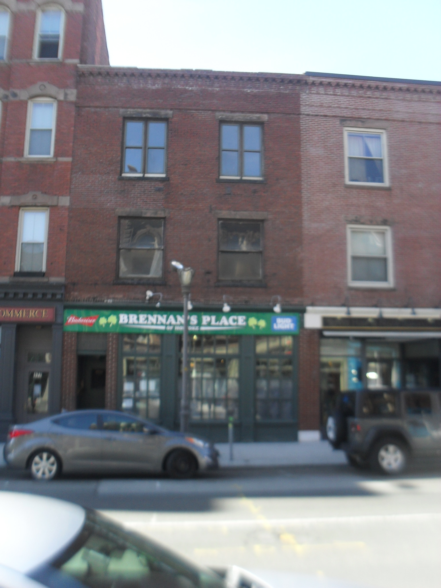
The twin structures at 169-171 High and 173-175 High Street are from 1855. They were made in the simple style of that era.
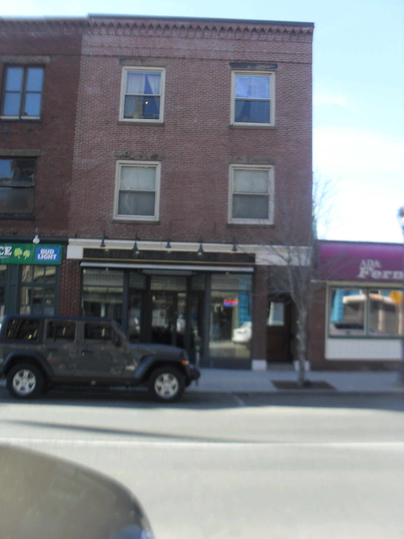
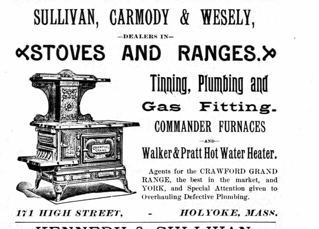
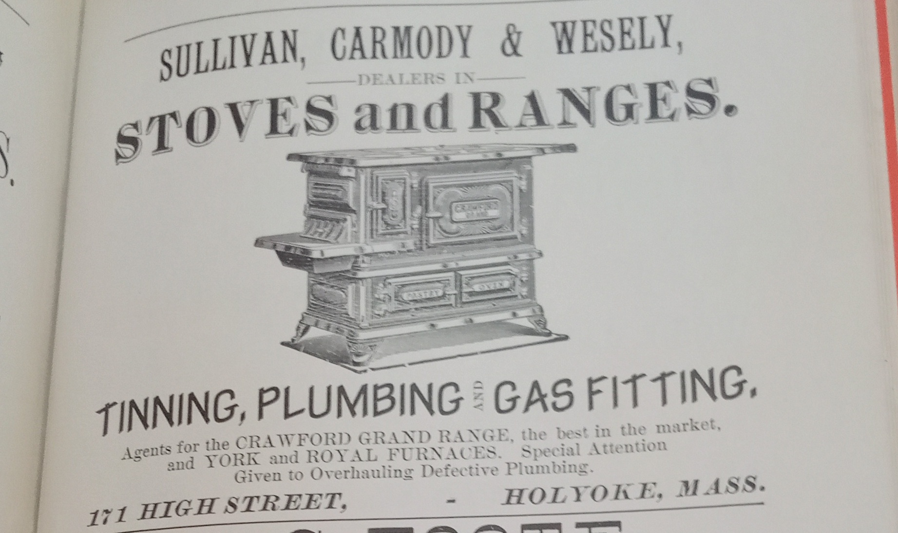
At 173 High Street for many years at the early 1900s Sullivan and Carmody Plumbers was here.
Sanborn map analysis:
The twin structures at 169-171 High and 173-175 High Street are from 1855. They were made in the simple style of that era.
At 173 High Street for many years at the early 1900s Sullivan and Carmody Plumbers was here.
Sanborn map analysis:
The LaFrance Block at 405-411 High Street was made in 1907 in the Romanesque style. At first it was called the Hotel Leon. It once was a five story structure but had to be changed to three stories. By 1930 it is being called the Potolski Block. Then it was demolished.
This building once held the Grand Theater from 1909 to 1919.
Lafrance Building (Hotel Essex) at 400 High was across the street from the LaFrance Block. It was built in 1907 in the American Renaissance style. It served as the residence for many of the actors and actresses in the theaters around Holyoke. Clearly, it mostly served the Grand Theater and the Empire Theater that were across the way.
Look at the wonderful ad that they had in 1915
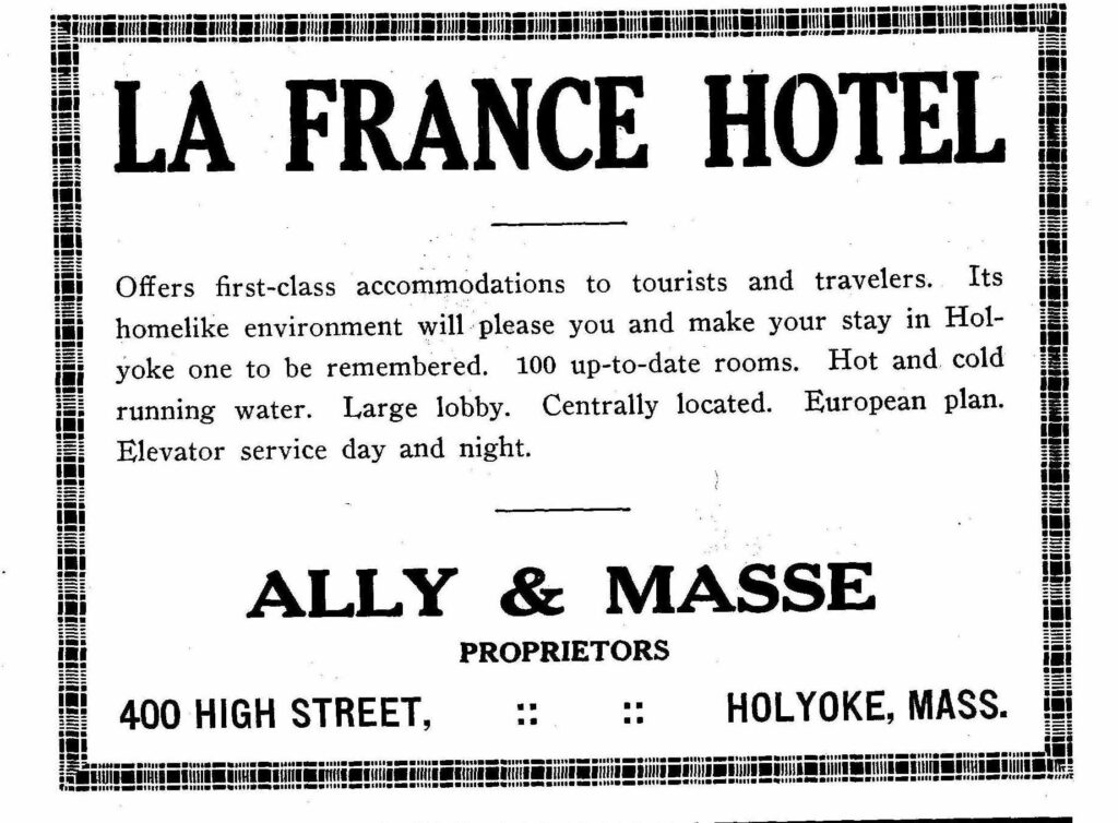
By 1930 it is being called the Hotel Grand.
Sanborn map analysis:
Sanborn 1884 map shows an empty city block
Sanborn 1889 map shows the Coughlan Block at 407 High
Sanborn 1895 map shows the Grand as the Flanagan Block and the Hotel Essex as 4 wooden structures in row – restaurant – tailor – photographer – cobbler (L to R)
Sanborn 1915 map shows the 8 floor Hotel Essex across from the Grand
Sanborn 1949 map shows the 8 floor Hotel Essex with the Grand building only stores and apartments
Sanborn 1956 map shows the 8 floor Hotel Essex with the Grand building only stores and apartments
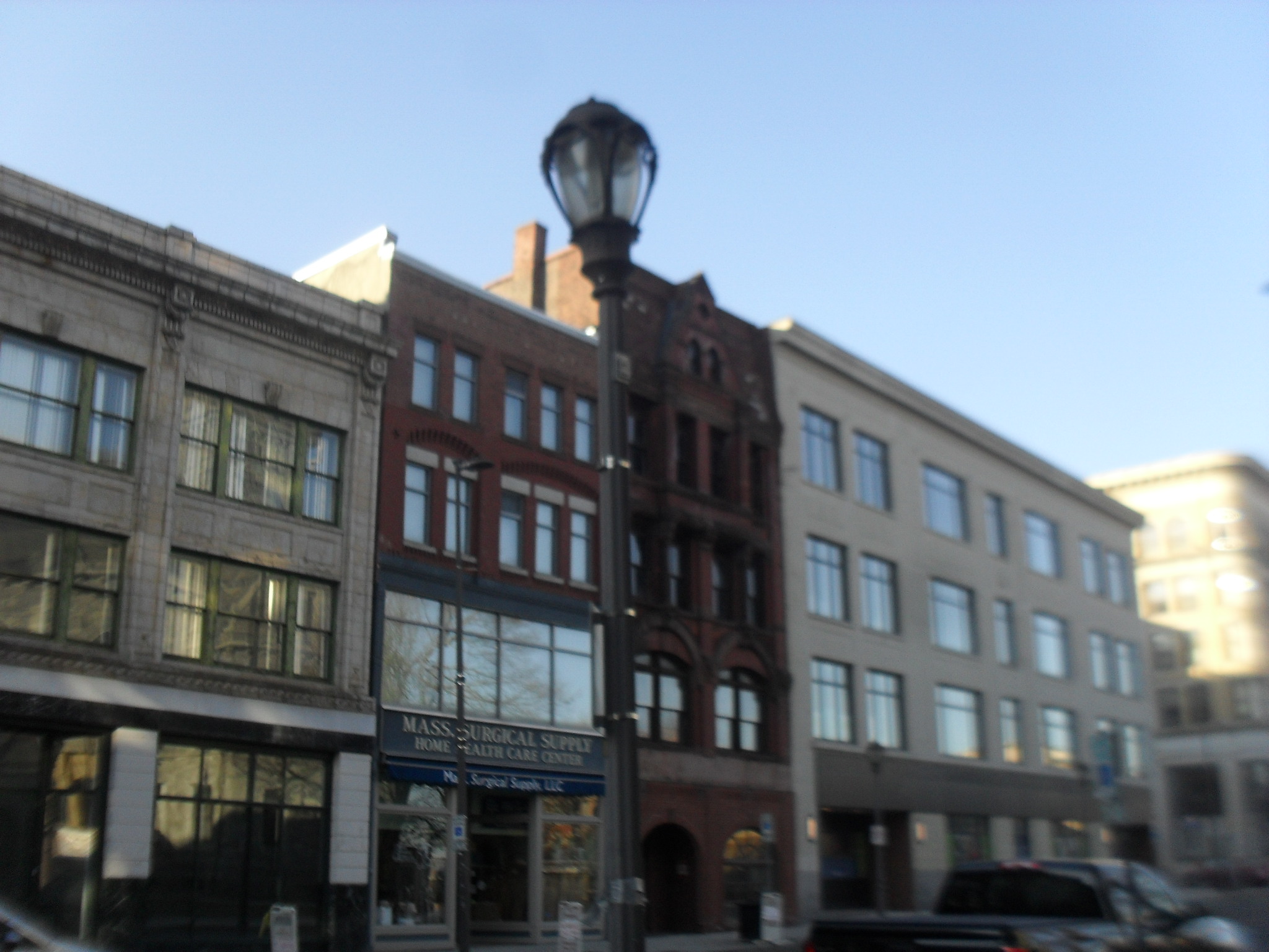

The Mayberry at 249-251 High Street is an 1881 building.
By 1915 it is the Harrigan Brothers Block.
Sanborn map analysis:
Sanborn 1884 map – it is a harness company and only three floors
Sanborn 1895 map only three floors
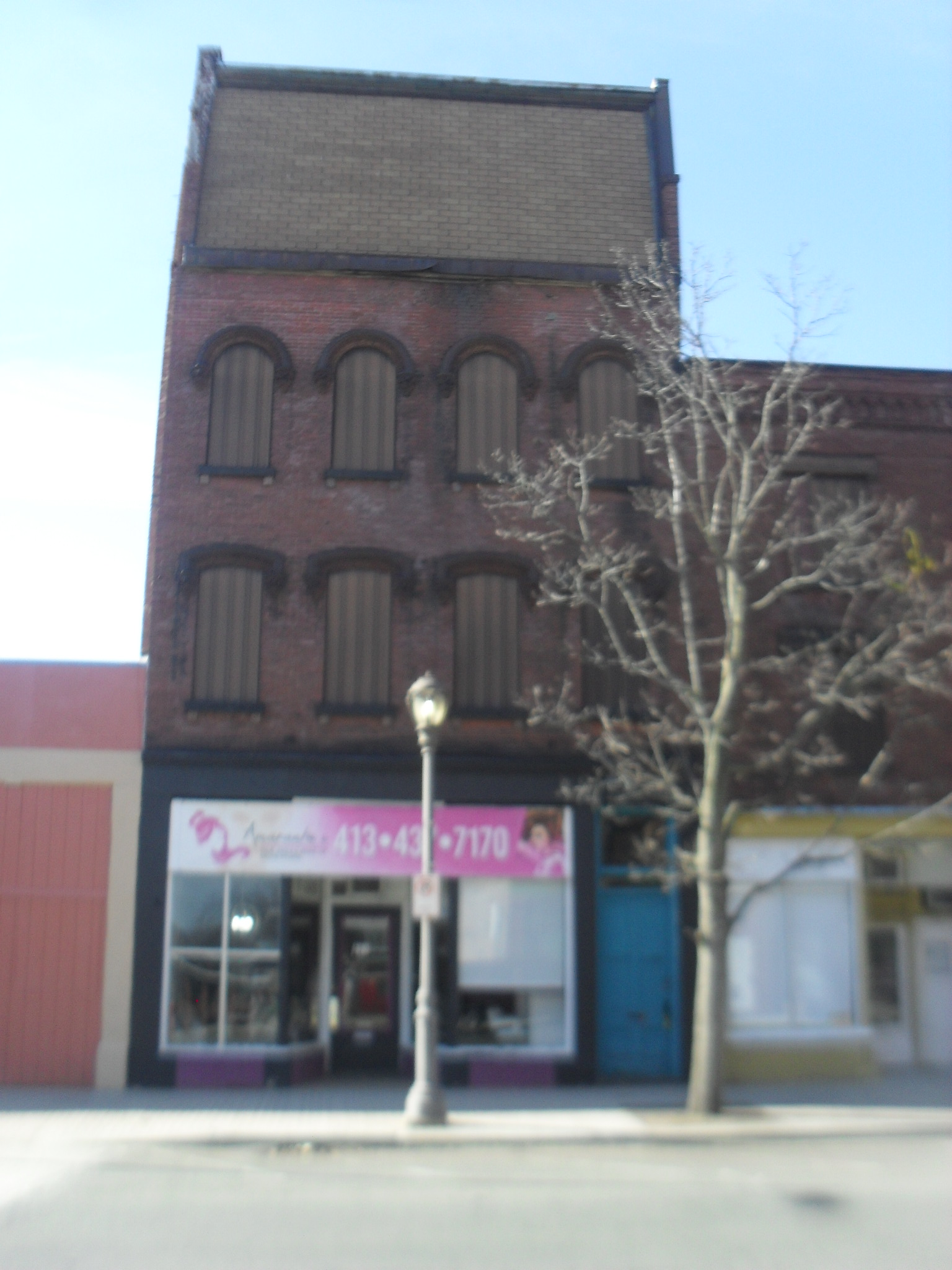
The Holyoke Lock Company building was made in 1870 at 121-123 High Street. It is in the Second Empire style. Dennis Higgins owned this building from its inception as he did own the building to its north. He died the 29th of April 1895 in Holyoke and ownership would finally move to other people. Now the 4th floor has a changed look. It was once with slate and 2 dormers but is now with shingles.
Sanborn map analysis:
Sanborn 1884 map a 4 floor building and a milliner occupies it
Sanborn 1889 map shows that it is 4 floors in front and 1 floor in back and a grocer is there
Sanborn 1895 map shows that it is 3 floors and a French roof in front and 1 floor in back and it is a store
Sanborn 1915 map shows a “Damaged by Fire” note on the scheme
Sanborn 1949 map is still 4 floors
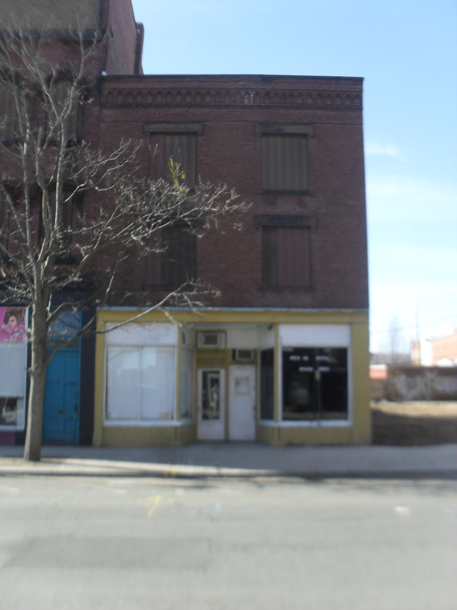
The Higgins Block at 117-119 High Street was made in 1860 as a simple Italianate building. The first occupant was Dennis Higgins a grocer and he lived there too. The second occupant was a Johann Fenton.
Sanborn map analysis:
Sanborn 1884 map is 3 floors and a market is there
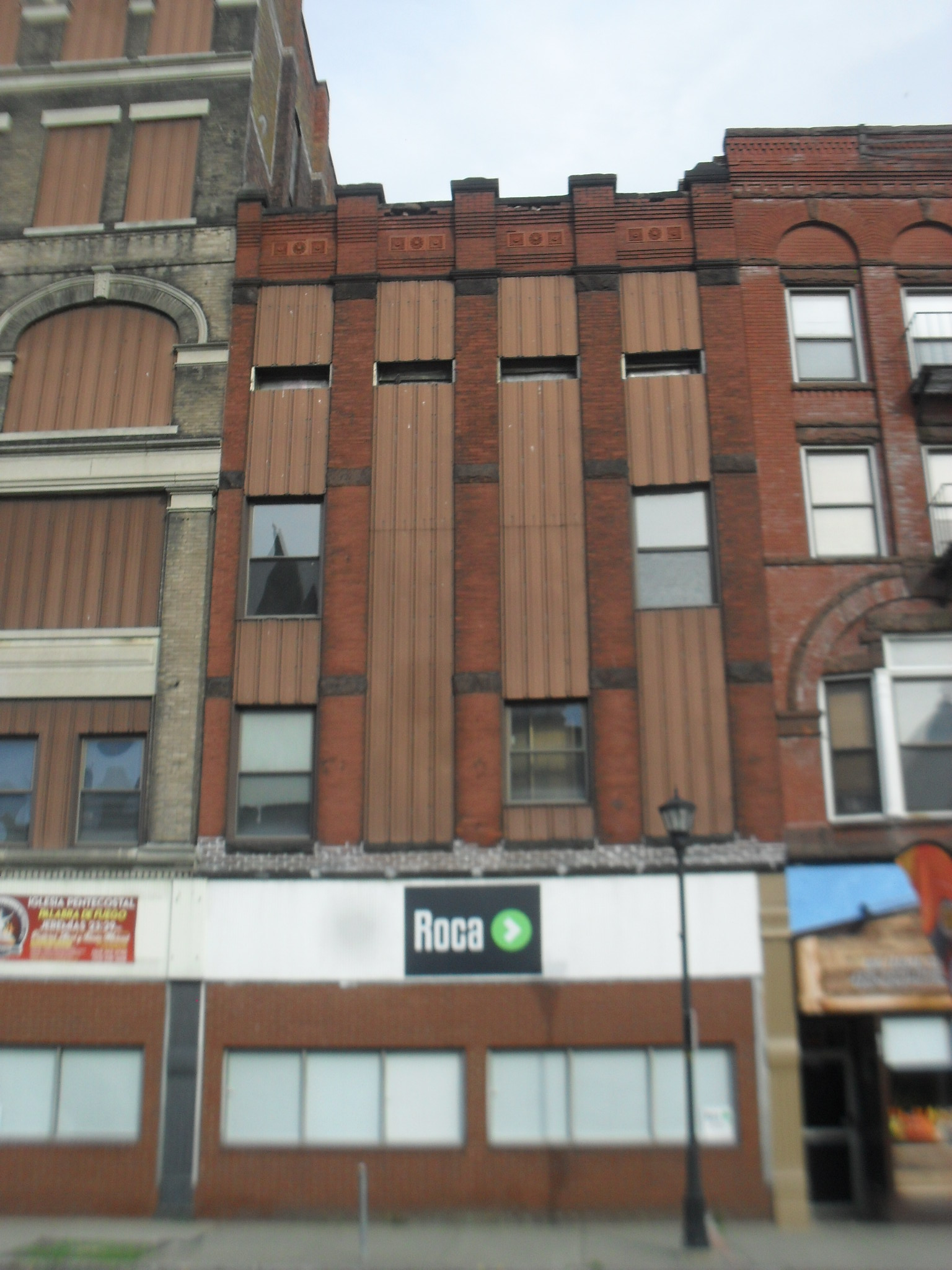
The building called City Dye House is found at 386-388 High Street. It was built in the late 1880s.
Sanborn map analysis:
Sanborn 1884 map shows the entire city block is empty
Sanborn 1895 map shows that it is four floors
Sanborn 1915 map shows that it is four floors
Sanborn 1949 map shows that it is now part of the furniture store next store and that it is connected by a walkway bridge on the 3rd floor and by a tunnel in the cellar to the buildings behind it for storage and display of furniture
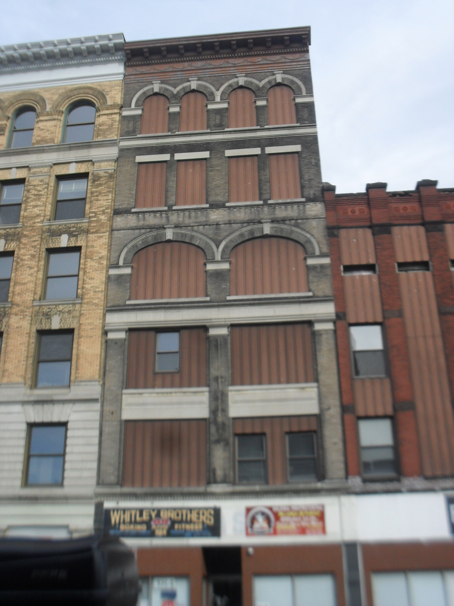
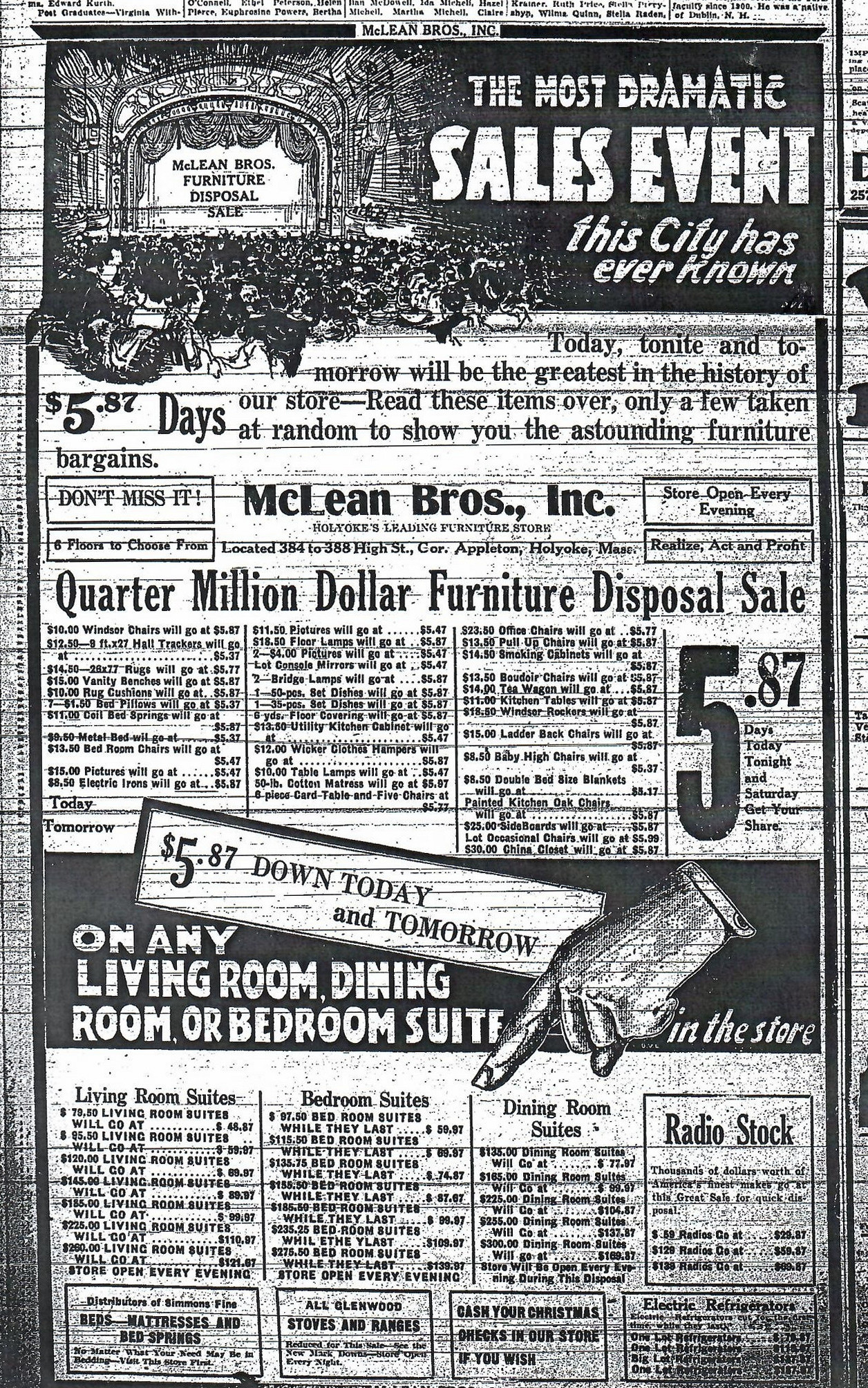
The McLean Building is from 1895. It is located at 382-384 High Street. It was built for the McLean Brothers who were furniture dealers. They started in 1881 on Main Street.
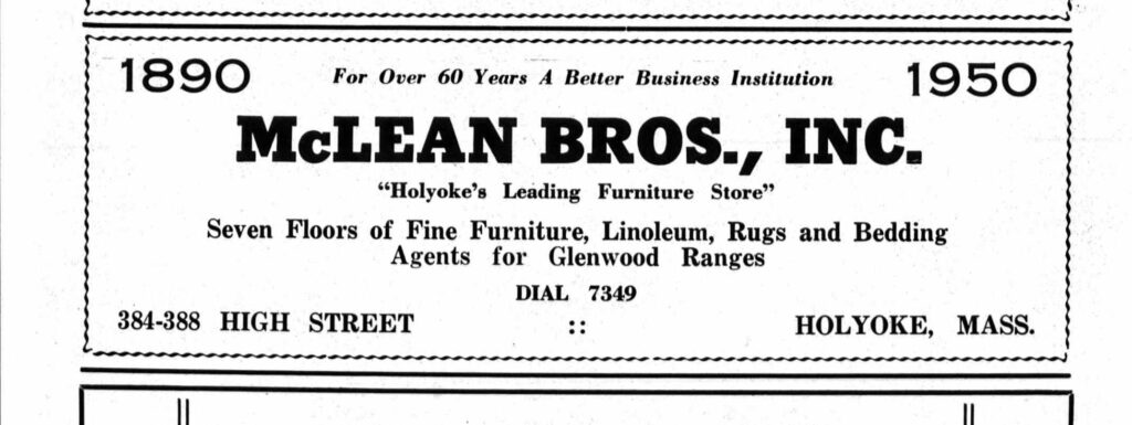
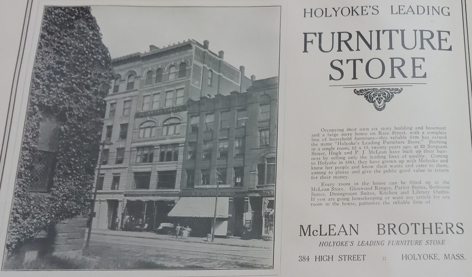
Sanborn map analysis:
Sanborn 1884 map shows an empty block
Sanborn 1949 map shows that it is now part of the dye house next store and that that dye house is connected by a walkway bridge on the 3rd floor and by a tunnel in the cellar to the buildings behind it for storage and display of furniture
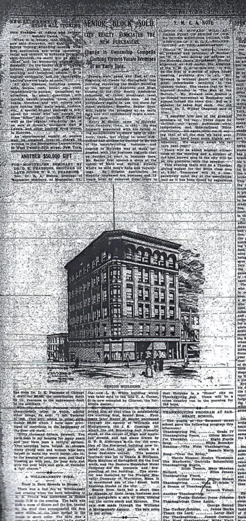
The Senior Block at 374-380 High Street was built in 1898. It took the place of the Browning Hall. The Senior Block had a bank and a business school there. It is built in the tripartite style of the American Renaissance. Henry Senior had the building made and George Alderman designed it. By 1909 City Realty had purchased it.
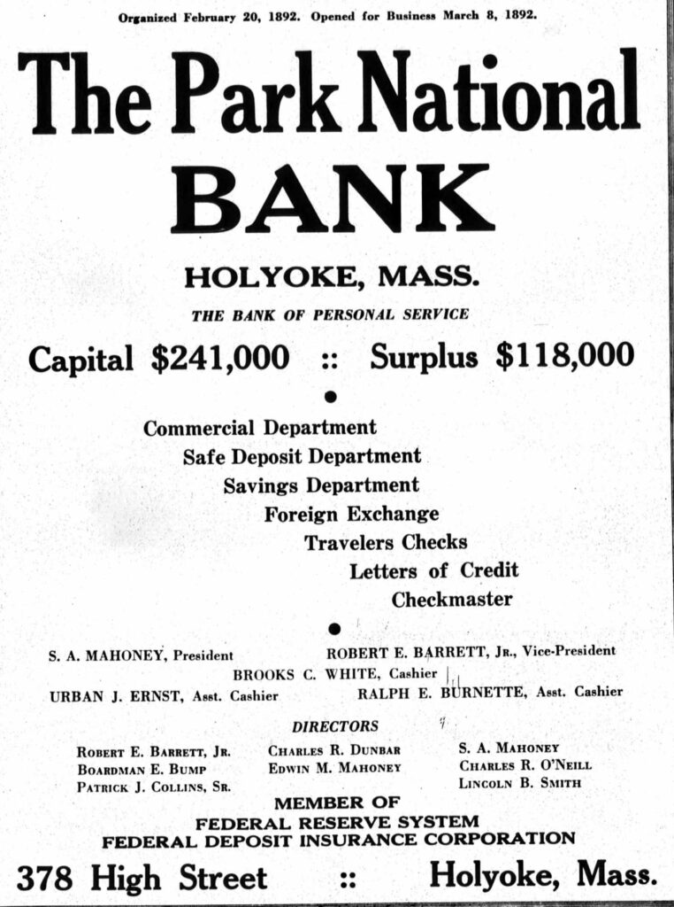
Mostly this is known for being the home of Park National Bank. But in 1922 City National Bank is here.
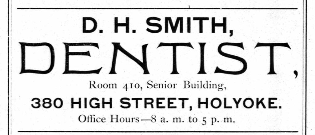
In 1900 there was a dentist in one of the rooms.
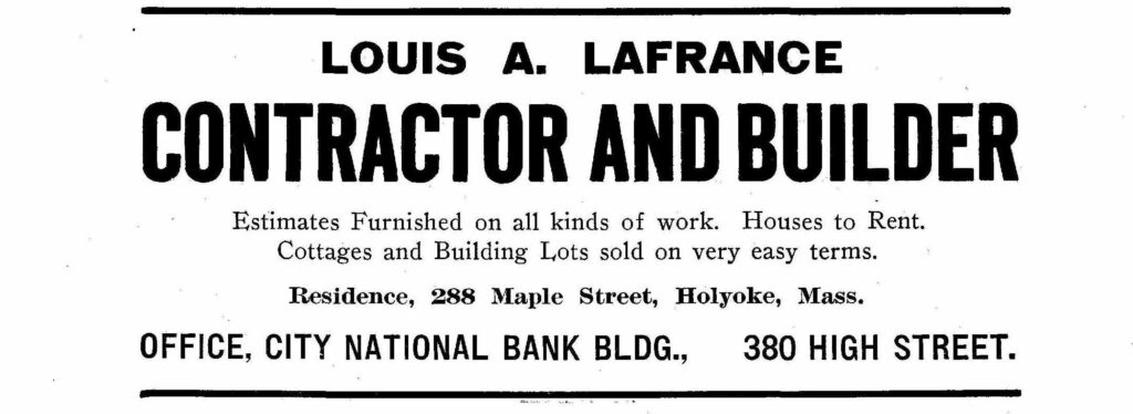
In 1915 Louis LaFrance also had his contractor business here.
In 1900 the fraternal group Bay State Club meets here. Also that year the Lenox Club meets here.
According to the Sanborn maps:
Sanborn 1884 map shows the city block is empty
Sanborn 1889 map shows a 5 story building that is called the Browning Hall
Sanborn 1895 map – shows a 5 story building
Sanborn 1915 map it gives the year of construction as 1898
Sanborn 1949 map there was the Park National Bank
Sanborn 1956 map there was the Park National Bank

The Young Men’s Hebrew Building at 314-316 High Street is from 1915. The central fire station was here but was torn down.
Then the YMHA built this building.
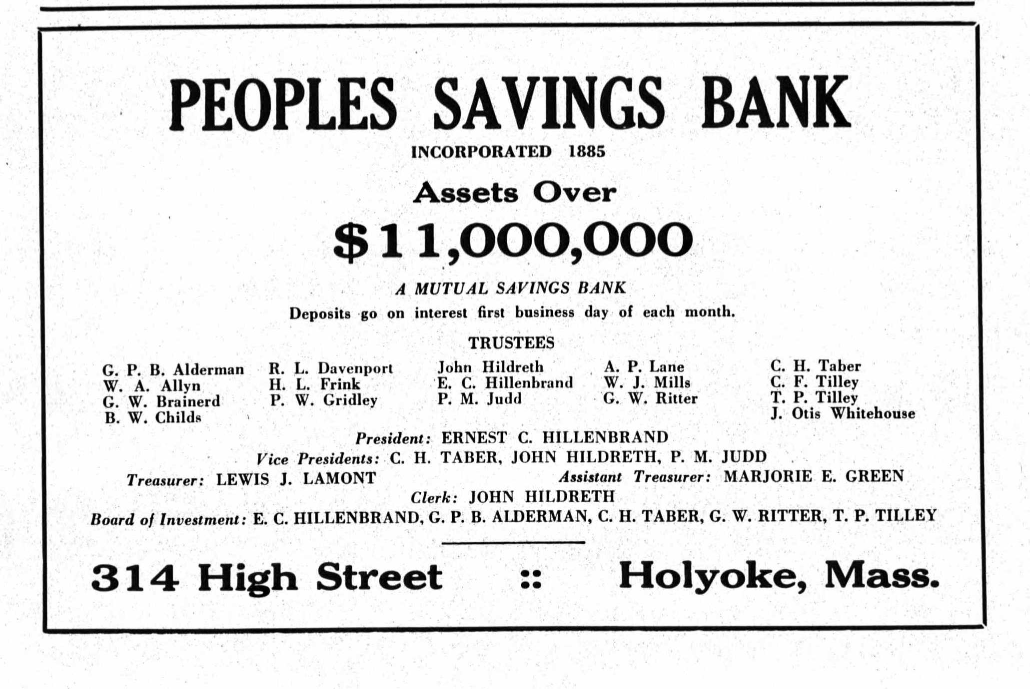
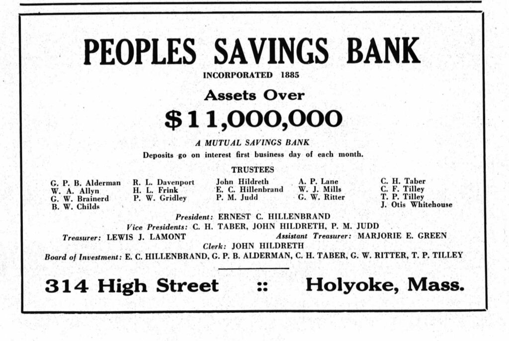
In at least 1922 the People’s Savings Bank moved into this block and from then on it has been named after them.
Also here was the George Alderman architectural firm.
Sanborn map analysis:
Sanborn 1884 map lot is empty
Sanborn 1889 map shows that the early central fire station was actually two buildings wide
Sanborn 1915 map states that the diagram is from plans
The Wylie and Perkins Block at 284 to 286 High Street was built as a one floor building. The second floor was added later. The metal posts that bear load gives away that it was a one floor structure. Currently, it is the home of the Springfield Pharmacy.
Sanborn map analysis:
Sanborn 1884 map just shows that there is no structure
Sanborn 1889 map it is one floor and a variety store is here
Sanborn 1895 map it is one floor and an undertaker and tailor are here
Sanborn 1915 map shows it as a one floor building with a restaurant in front and a bakery in back
Sanborn 1949 map shows it as a two floor building with a store
Sanborn 1956 map shows it as a two floor building
