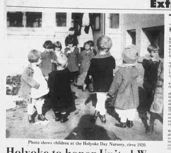
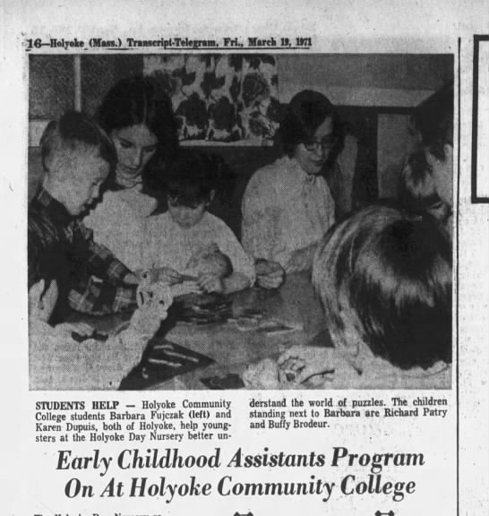
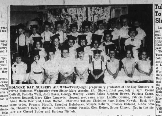
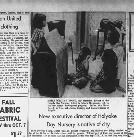
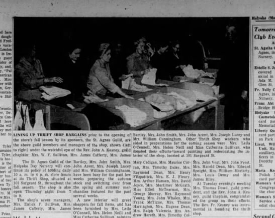
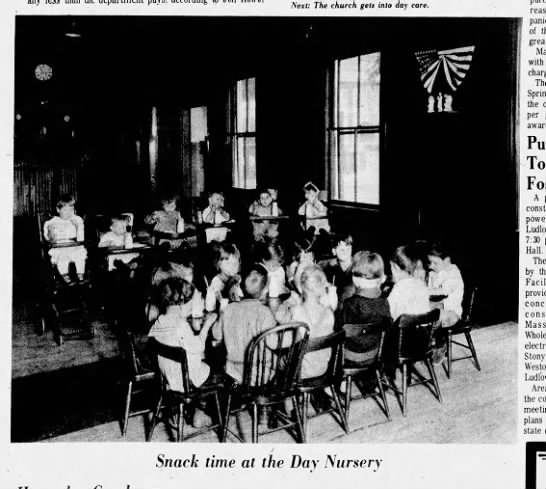
Holyoke Day Nursery

Its founder was Daniel Tully (FINDAGRAVE)

9 Jun 1954

namelocationbeginsends
Saint Agnes HomeDwight Street19161920
Saint Agnes Home159 Chestnut Street19201926
both names159 Chestnut Street19271933
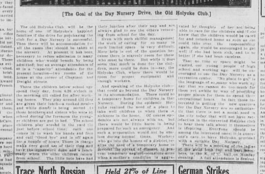
Holyoke Day Nursery159 Chestnut Street1934still

Superior at the Holyoke Day Nursery

1916 to 1920 – unknown

1921 to 1930 – Sister Mary Prudentia (in charge) with Ella Fitzgerald (head nurse)

1931 to 1933 – Sister Mary Austin

1934 – 1949 – no one listed – (From 1935 and into the 1940s the Holyoke Day Nursery is called a Catholic Diocesan Charities.)

1950 – Sister Mary Philips – superior

1951 to 1962 and later 1972 – Sister Mary Anselm (Mary of the Rosary) – superior

1963 – 1964 – no one listed

1965 to 1966 – Sister Mary Andrea – superior and lives there

1967 to 1971 – Sister Mary Zeno – superior and lives there

1975 to 1983 – Sister Dorothy Young – executive director and resides there too

1984 to 1986 – Janet Stetson – director

1988 to 1989 – Matthew Porter – director

1990 to 1991 – Ann Chase – director

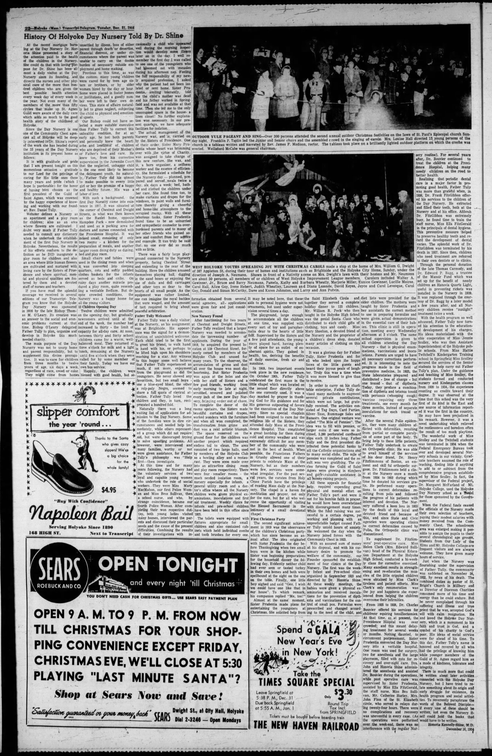
21 Dec 1954

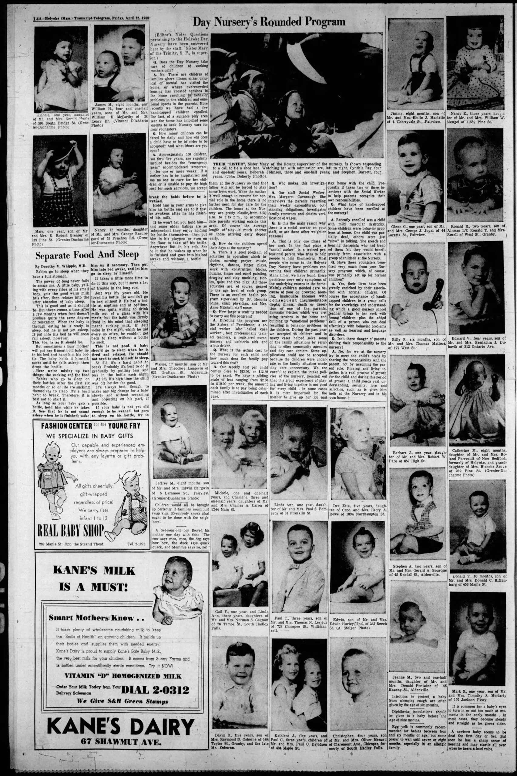
25 Apr 1958

Podcasts

Tour Discussion

Holyoke

PARKSParksCEMETERIESCHURCHESSTREETSOTHERTheatersNEIGHBORHOODS
Veterans ParkCrosier FieldSmith’s Ferry CemeteryRosary Church CampusMaple StreetWhiting Street ReservoirVictoryIngleside
Anniversary FieldGloutak ParkForestdale CemeteryPrecious Blood Church181 Linden StreetAshley ReservoirNickelodeonsHighland Park
Jones Point ParkMcNally FieldRock Valley CemeteryImmaculate Conception Church CampusChestnut StreetVietnam Veterans BridgeFlats
Pulaski ParkMitchell FieldElmwood CemeterySaint Jerome Church CampusHigh StreetHolyoke Heritage TrailRock Valley
Wyckoff ParkKosciusko ParkSt Jerome CemeteryOak StreetBrightsideSpringdale
Olmsted Parks of HolyokeLaurel ParkBurial Grounds of HolyokeBlessed Sacrament ChurchHolyoke National Guard ArmoryReservoirs of HolyokeSmiths Ferry
Springdale ParkMcNulty ParkCalvary CemeteryFirst Congregational Church of HolyokeMuralsThe Parish and the HillChurchill
Kennedy ParkVega ParkHoly Cross ChurchSecond Congregational Church of HolyokeHolyoke Post Office HistoryDowntown Holyoke
Other Olmsted Projects around HolyokeSmall Parks 1Mont Marie and its CemeterySaint Paul’s Episcopal ChurchMount Tom Golf CourseElmwood
Elmwood Park

Modern Eastern Edge – Western Edge
Small Parks 2Calvary Cemetery of the Sisters of ProvidenceMater Dolorosa ChurchHolyoke Library ParkHighlands
Rohan ParkSmall Parks 3Sacred Heart ChurchHolyoke on the National RegisterHomestead Avenue
Avery FieldSmall Parks 4Perpetual Help ChurchSkinner Silk Trail

Skinner Family
Oakdale
Community FieldSmall Parks 5Methodist Episcopal ChurchWistariahurst on the OutsideSouth Holyoke
Deroy ParkDinosaur Footprint ReservationFirst Baptist ChurchHolyoke Train DepotsJarvis Avenue
Germania ParkHolyoke RowsHolyoke City HallWhiting Farm

Holyoke Canals

STOPSFEATURESLEVELSMILLSMILLS
Boat Lock StationHolyoke CanalFirst Level CanalCanal WalkwaysMerrick Mills and their Races
Holyoke Canal Test FlumeHolyoke DamSecond Level CanalHolyoke Heritage State Park – DONEParsons Mill
Fish LiftThird Level CanalLyman Mill
Holyoke Canal GatehouseHadley Falls Workers’ HomesSpillwaysJudd Paper MillSkinner Mill
Riverside StationSpillway 4Spillway 3National Blank BookWauregan
Clemens HerschelNewton familySpringfield Blanket CompanyHadley Mill

Chicopee

CEMETERIESNeighborhoodsOther
Saint Rose de Lima Church Campus and CemeteryFairview CemeteryAldenvilleChicopee Canal
Maple Grove CemeteryHoly Mother of the Rosary CemeteryChicopee CenterWillimansett Bridge
Sons of ZionChicopee Street Burial GroundChicopee FallsHoly Name Church Campus
Calvary CemeterySaint Stanislaus CemeteryWillimansettChurches on Springfield Street
Saint Patrick’s CemeteryRodphey Sholom CemeterySaint Rose de Lima Church
Protestant Cemeteries in Chicopee throughout its History
Catholic Cemeteries in Chicopee throughout its History

South Hadley

NeighborhoodCEMETERIESOTHERCONSERVATION LAND
WoodlawnNotre Dame CemeterySaint Rose Cemetery of South HadleySouth Hadley CanalBachelor Brook Stony Brook Conservation LandTrompke Conservation
PlainsMater Dolorosa CemeterySouth Hadley Falls CemeteryVietnam Veterans BridgeBlack Stevens Conservation AreaHawkins Bird Sanctuary
FallsOld South Hadley Burial GroundPrecious Blood CemeterySouth Hadley Heritage TrailBynan Conservation LandGormally Conservation Land
CenterEvergreen CemeteryBurial Grounds of South HadleyRiverside Park of South HadleyHahn Warner ArboretumLaurie Avenue Conservation
Four Cemeteries of South Hadley Center TourThe Lost Gravestone of South Hadley5 Walnut StreetLeaping Well Nature TrailBagg-Pierce Wildlife Sanctuary
South Hadley in the Great WarMount Holyoke Range Conservation LandsJones / Carver / Newton Conservation Areas
Trails of South HadleyTitus Pond Conservation Area
Warner Conservation Area

J & W Jolly

J & W Jolly is James Jolly FINDAGRAVE and William Jolly FINDAGRAVE

from the HTT anniversary edition

1892 ad

Sanborn map analysis

Sanborn 1884 map – at this location is the City Iron Foundry near Cabot and South East Streets – the Jolly is at MAP in the HWP building that parallels the First Level Canal

Sanborn 1889 map – at this location is the City Iron Foundry near Cabot and South East Streets – the Jolly is at MAP in the HWP building that parallels the First Level Canal

Sanborn 1895 map

Sanborn 1915 map

Sanborn 1949 map

Sanborn 1956 map

Holyoke Club House

fromtoaddress
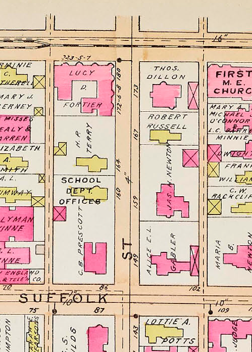
1904 or 1905190922 Suffolk Street
1911191186 Suffolk Street
19121918159 Chestnut Street
1919onwardsgone

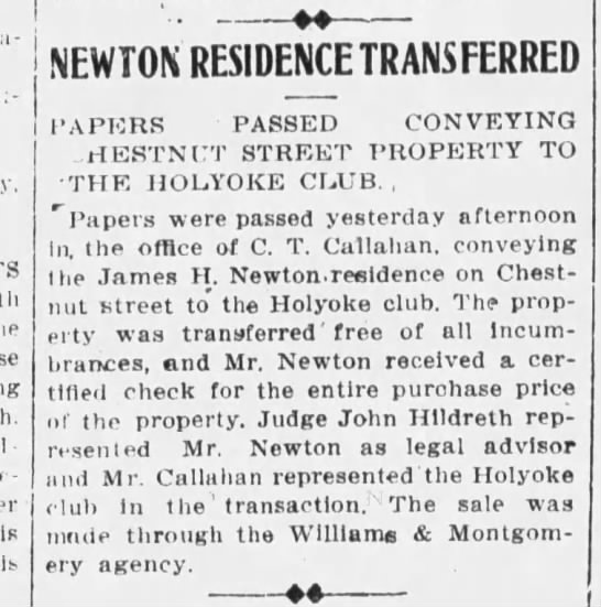
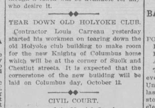
The Holyoke Club seems to have started in 1904 or 1905 with original officers of Lewis Wyckoff, A G Magna, and George Nicholson. In 1907 the officers are John E Clark, Charles M Porter, George Nicholson. Then in 1917 the Holyoke Club House had a president of A T Gallup and a tres/sec of Z D B Hallett.

Dec 2 1910 newspaper
11 Jul 1914 HTT

01 Sep 1917
Dec 27 1918 HTT

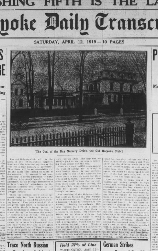
They take over the Chestnut Street location on January 3 1911 and relinquish it on March 17 1919.

James Newton homes

James Newton and his residences in Holyoke

fromtohouse
18651867workers houses
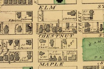
18681906159 Chestnut Street
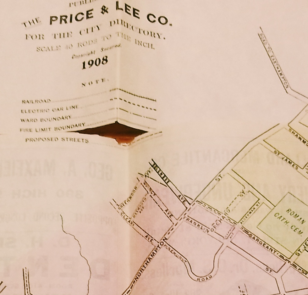
19091910399 Northampton Streetthis is most likely the Pinehurst address before the renumbering due to the addition of Smith Ferry land to Northampton Street
191119201766 Northampton Street “Pinehurst”this is on a private road that would become Pinehurst Road – James Newton owned this vast land even in the 1880s
1924192660 Pinehurst RoadJames Newton died in 1921 and the property would change drastically
21 Pinehurst RoadSanborn map and Sanborn map

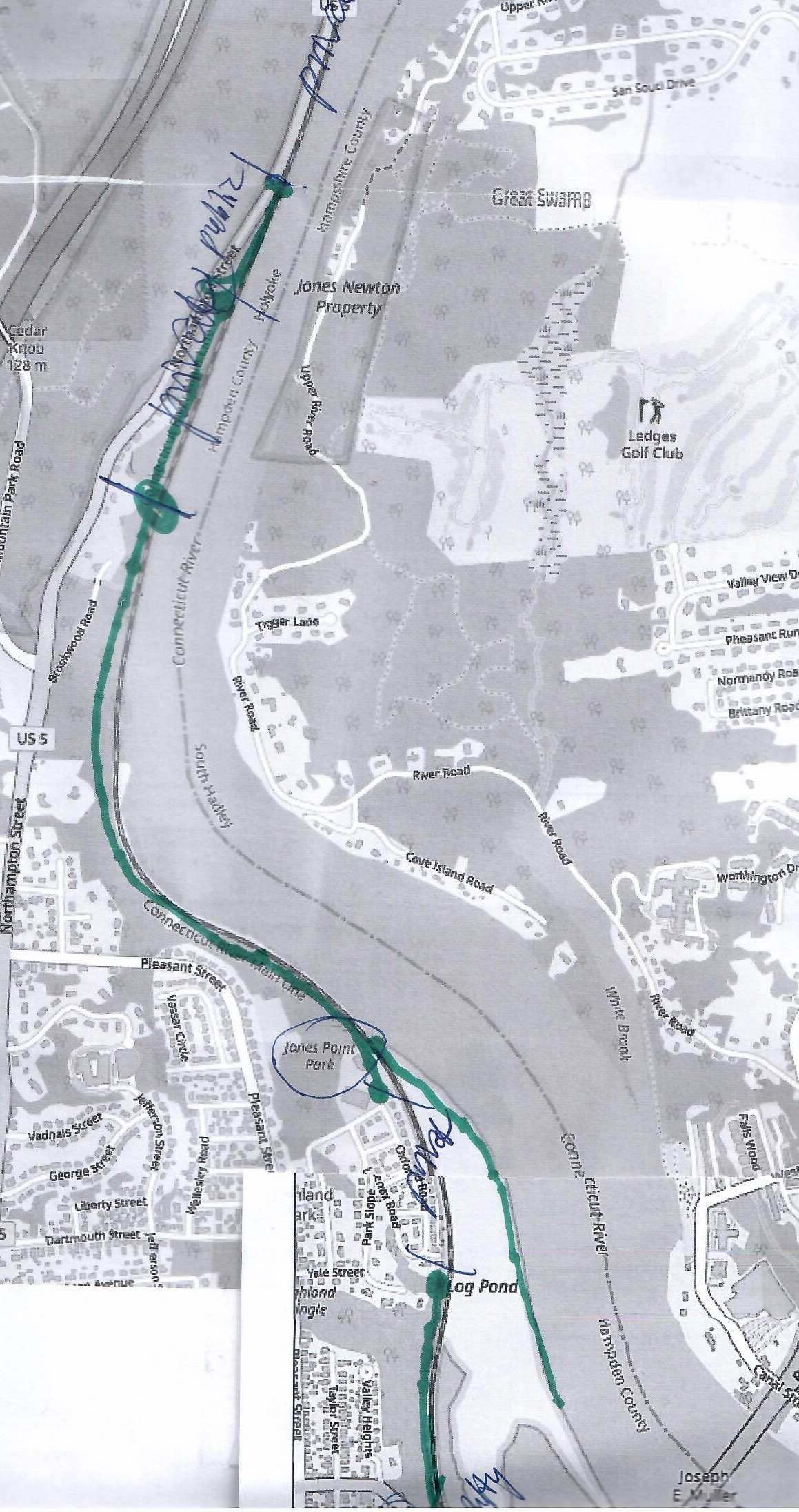
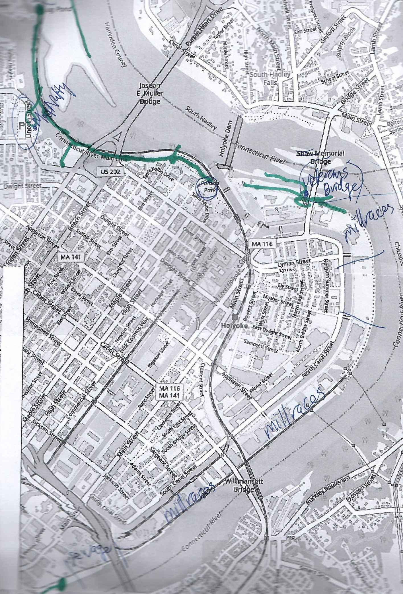
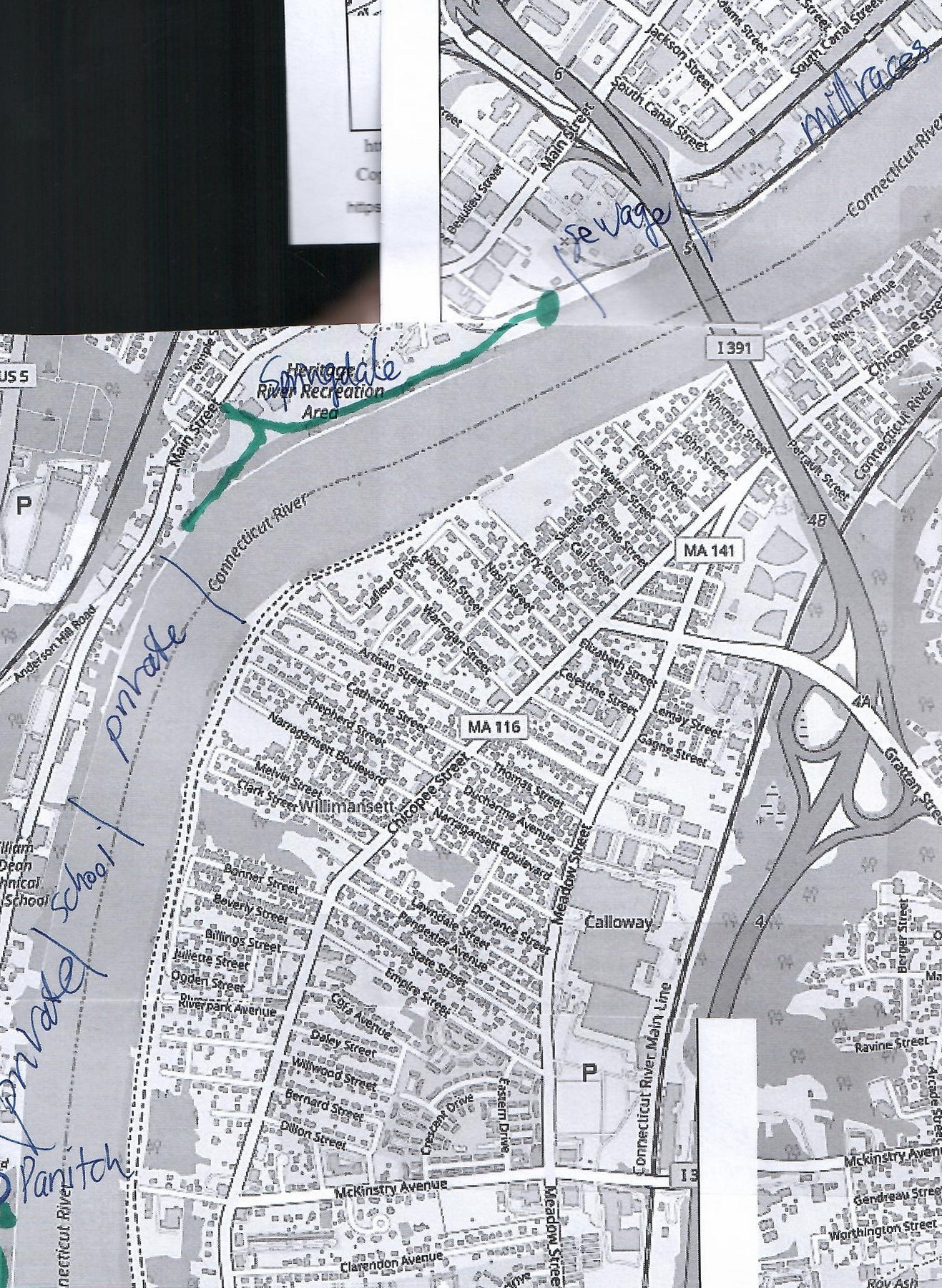
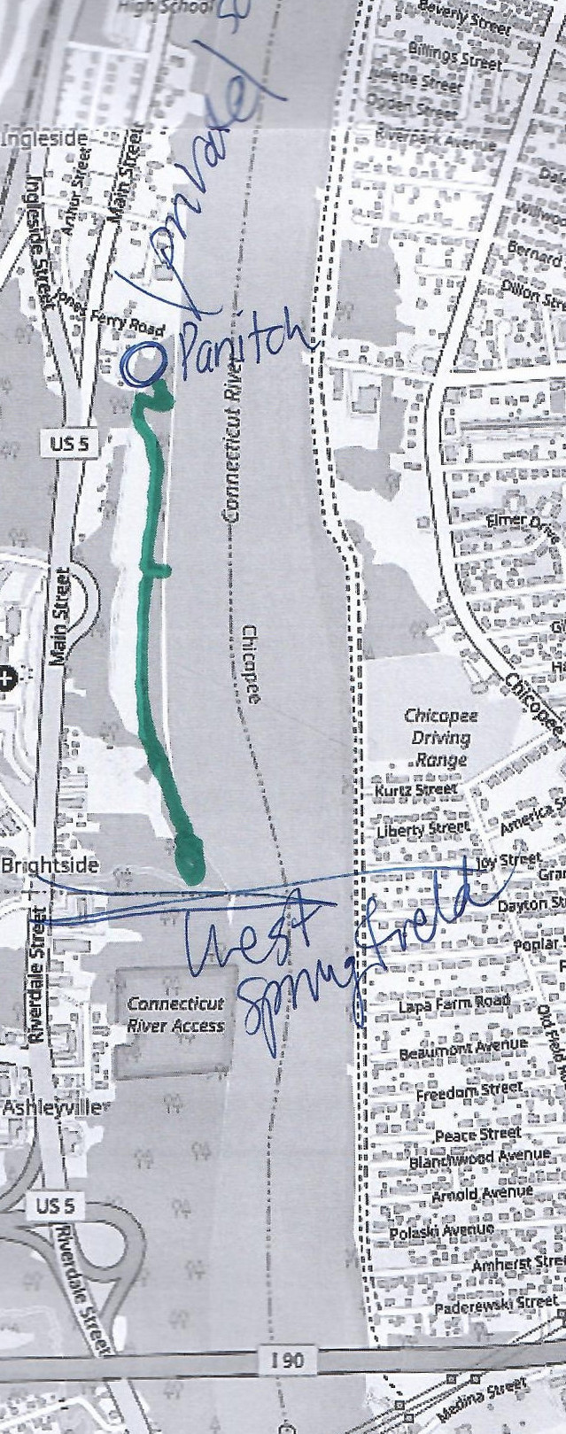
The Shoreline of Holyoke along the Connecticut River

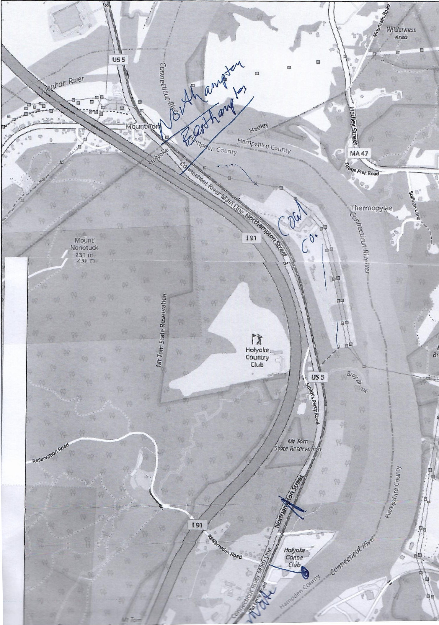
The Shoreline of Holyoke – Easthampton border to Holyoke Canoe Club

This area is all private land. It is walkable if you can get out to the dirt beaches.

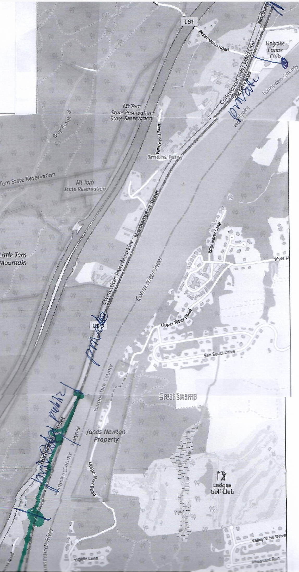
The Shoreline of Holyoke – Holyoke Canoe Club to Brookwood Road

This area is all private land. It is walkable if you can get out to the dirt beaches.

The Shoreline of Holyoke – Brookwood Road to Log Cove

From Jones Point Park one can walk either north to the Dinosaur Tracks or south to Log Cove.

The Shoreline of Holyoke – Log Cove to Interstate 391

Here one can get in at McNulty Park and either walk north to Jones Point Park or walk south to Pulaski Park. Likewise, one can get in under the Vietnam Veterans Bridge and walk north to the large Holyoke Dam or walk south to the first millrace behind Valley Paper. Farther advance is very hard since each mill has a millrace blocking your way.

The Shoreline of Holyoke – Interstate 391 to Holyoke Rows

The best intake area is at Springdale Park. A walk north is possible but the sewage plant stops one at some point. A walk south is not possible since there are homes here.

The Shoreline of Holyoke – Holyoke Rows to West Springfield Border

From Holyoke Rows a walk south is possible through the Land of Providence on trustee land to the southern border of Holyoke.

Community Field

Anniversary Field link

Parks of Holyoke

Holyoke Community Field

As for Community Field, it was the hope of the city to develop this land into the sports complex of Holyoke. Most of Community Field was purchased before 1923 and was called that name.

In 1926 Day Brook was placed underground. Thus Elmwood Park would lose its brook and its rustic feel. Now the Elmwood Park would become and desirable location for the sports complex. It was closer to the schools downtown.

Since Community Field was placed onto the backburner, the land was not developed for a while due to lack of funds. The park had been dedicated on October 31, 1925 but it had to wait to be developed.

There was an attempt at a large baseball stadium in the mid to late 1920s and work was done on the grading around the perimeter. But money was hard to come by for this organization. On October 7 1929 they sold the grounds to the city. In the years after that the parks were considered for many other uses: a city golf course, a new high school, a road that circled the park and more.

WPA Project

Wading Pool

It was finally developed into a recreational area in 1934. For example a wading pool was added that year and in the wintertime that pool transformed into an ice rink. This was done by the Works Progress Administration.

On July 1, 1953, the 1934 wading pool is replaced with a new one that is 125 feet long and oval. It is 20 inches deep at maximum. It could hold 120 children.

Later Works

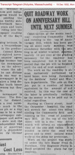
In 1936 and 1937 a gravel road was added to the top of Anniversary Hill Park. (The road had been started in 1932 but did not go very far.)

In 1936 one hundred trees are added. 500 feet of cinder walks are put in. n 1939 a shelter house and a baseball diamond were added.

Ice skating would happen in the winter at Community Field.

Playground

The playground at the Community Field was drastically changed in 1989. The Kelly Constant Playground was dedicated on June 22 1989.

Dinosaur Tracks

Landscaping of the grounds around the dinosaur tracks is done.

Vandalism

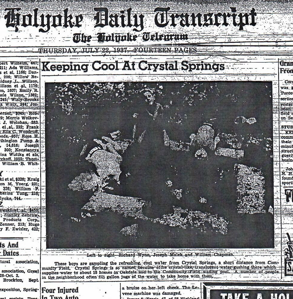
Crystal Springs

The wading pool has water from Day Brook. Day Brook passed near to the Jarvis Avenue landfill. In 1953 a new wading pool was added. In 1954 the roadway was drastically improved and the name was changed to Community Park. In 1956 hiking trails are added. In 1958 a new softball field is added.

In 1961 the parks department offers Holyoke Junior Community College 45 acres within Community Field. (Obviously, never taken up.)

Sledding and Tobogganing at Community

Ralph Sacks Recreation Area

STORY

[Sanborn map analysis do not help on these parks.]

links

Mystery stone wall near the interstate.

stone wall