Caledonia Building

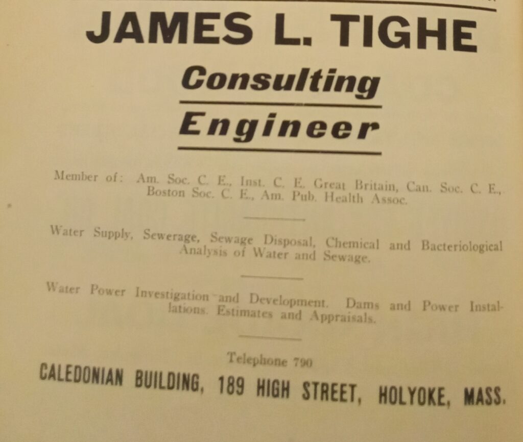
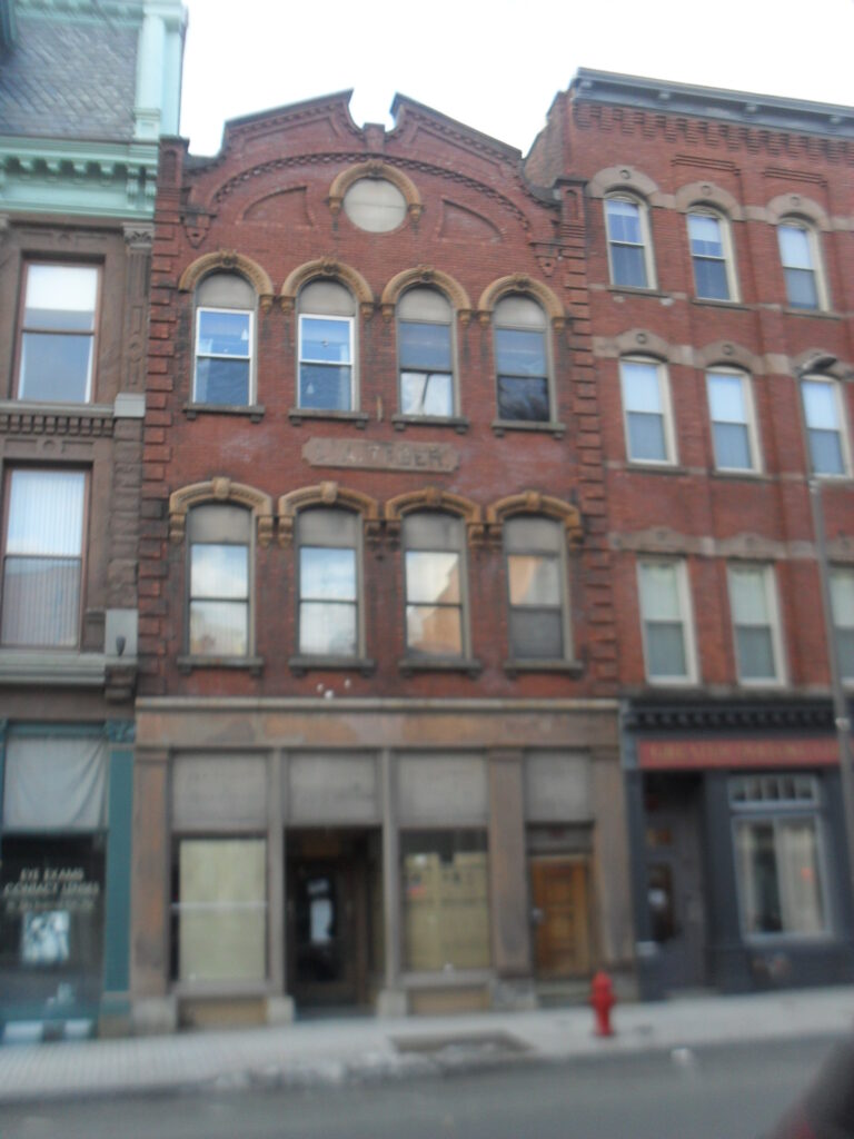
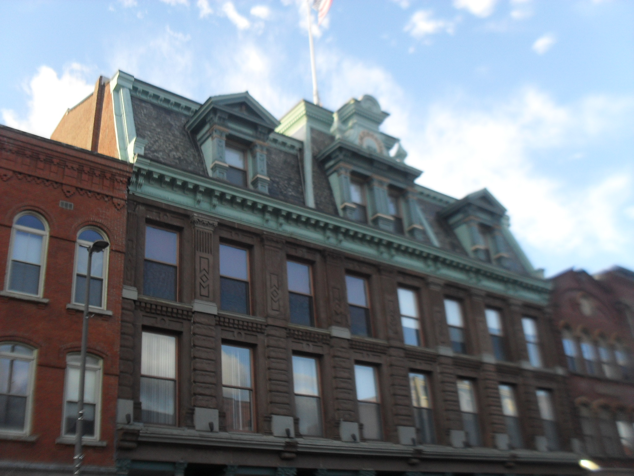
The Caledonia Building has a long history. It is at 185-193 High Street. Architectural Iron Works of New York made the facade. A 1865 book about the firm is at this LINK. A plaque at ground floor on both front corners of the building has their firms name Architectural Iron Works of New York.

The Caledonian Benefit Society purchased this building in 1909. Roswell Crafts had it built in 1874. The top floor is for social function, the ground floor is for retail business, and the middle two floors are for office space. It was built in the Second Empire style. The 4th floor has a skylight and has a staircase to the roof. In the 1900 city directory the hall is being called The Touraine.

Heidner Merchant was here in 1885 on one of the lower floors.
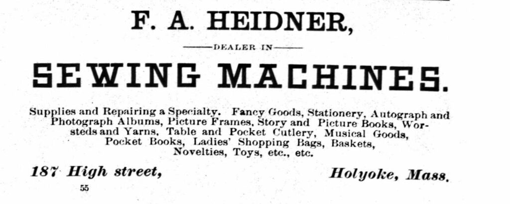
This image has an empty alt attribute; its file name is 9696627-Copy-3-Copy-1024x409.jpg

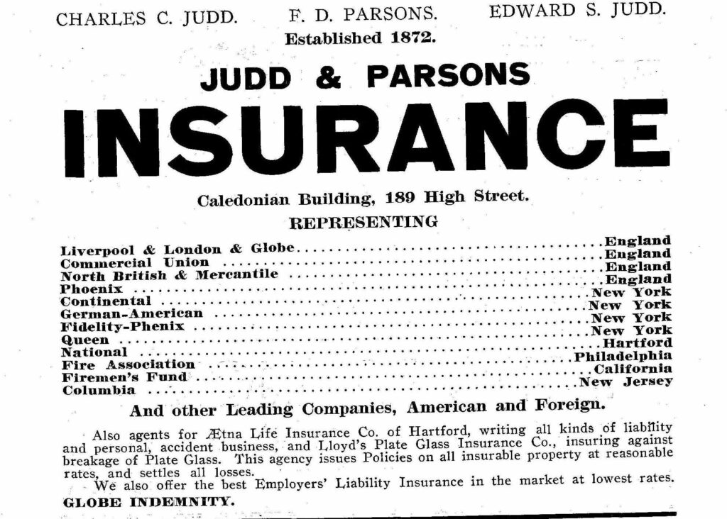
In 1915 Judd Insurance was here

Sanborn map analysis:

Sanborn 1884 map shows that 1st is stores, 2nd is offices, 3rd is dwellings, and 4th is hall

Sanborn 1889 map

Sanborn 1895 map here it is still being called the Crafts Block

Sanborn 1915 map

Sanborn 1949 map

Sanborn 1956 map

Johnson and Johnson Blocks

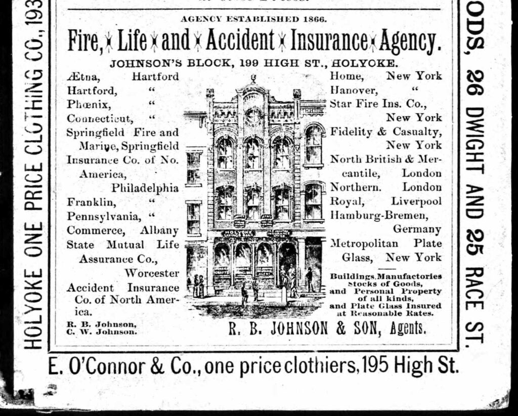
The Johnson and Johnson Blocks are at 195 High and at 197-201 High Street. Both were made in the Italianate style in 1880. This father and son team sold insurance products. Their agency started in 1866 and must have boomed with the economy since by 1880 they had the nicer structure built. The older and less ornate building might be from their origins. They were still there in 1915 as an insurance and a building.

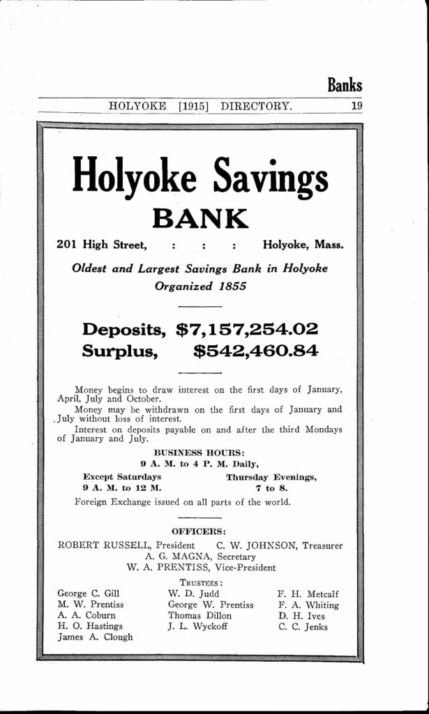
On the 201 High ground floor there was the Holyoke Savings Bank. (from at least 1912 to 1915)

This image has an empty alt attribute; its file name is 9697595-615x1024.jpg

1871 ad for a tenant:

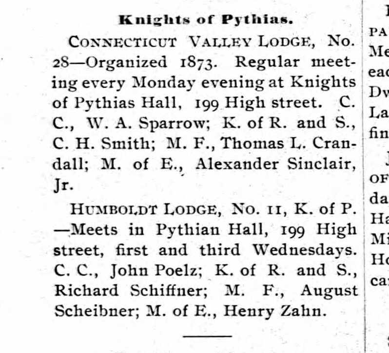
In 1900 Knights of Pythias Hall was here.

This image has an empty alt attribute; its file name is 9703448-Copy-Copy.jpg

Sanborn map analysis:

Sanborn 1884 map

Sanborn 1889 map has the southern one being called Society Hall

Sanborn 1895 map has two banks there with the insurance – Savings Bank (on left) and National Bank (on right)

Sanborn 1915 map shows the two buildings are joined on all floors above the ground one

Sanborn 1949 map and it has stores

Sanborn 1956 map

Wright Building and Block

The Wright Building and Block is at three locations along this strip. That is, at 96-100 High, 102-104 High, 106-108 High, and 110-120 High Street. They form a continuous group of structures. Stephen Wright built all four in the 1869 to 1870 era in the Italianate style. When he died 28 June 1888 he was a rich man.

In 1882 to at least 1900 the southernmost block (118 to 120) was being called the Perry’s Building and the 106 to 108 portion was being called the Prew’s Building.

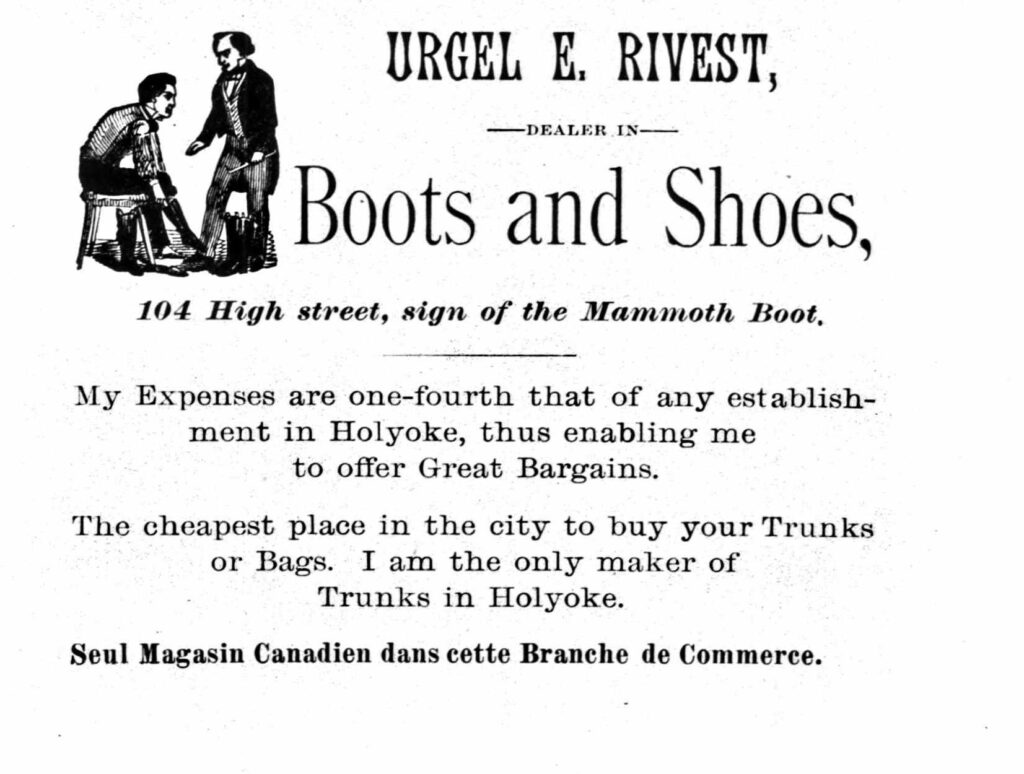
At 104 High was found the Rivest Boot store.

Sanborn map analysis

Sanborn 1884 map

Sanborn 1889 map show that 8 buildings are in place the first three on the left are three floors and the 5 on the right are four floors

Sanborn 1895 map

Sanborn 1915 map shows stores

Sanborn 1949 map

Sanborn 1956 map shows furniture stores and restaurants

Allyn Building

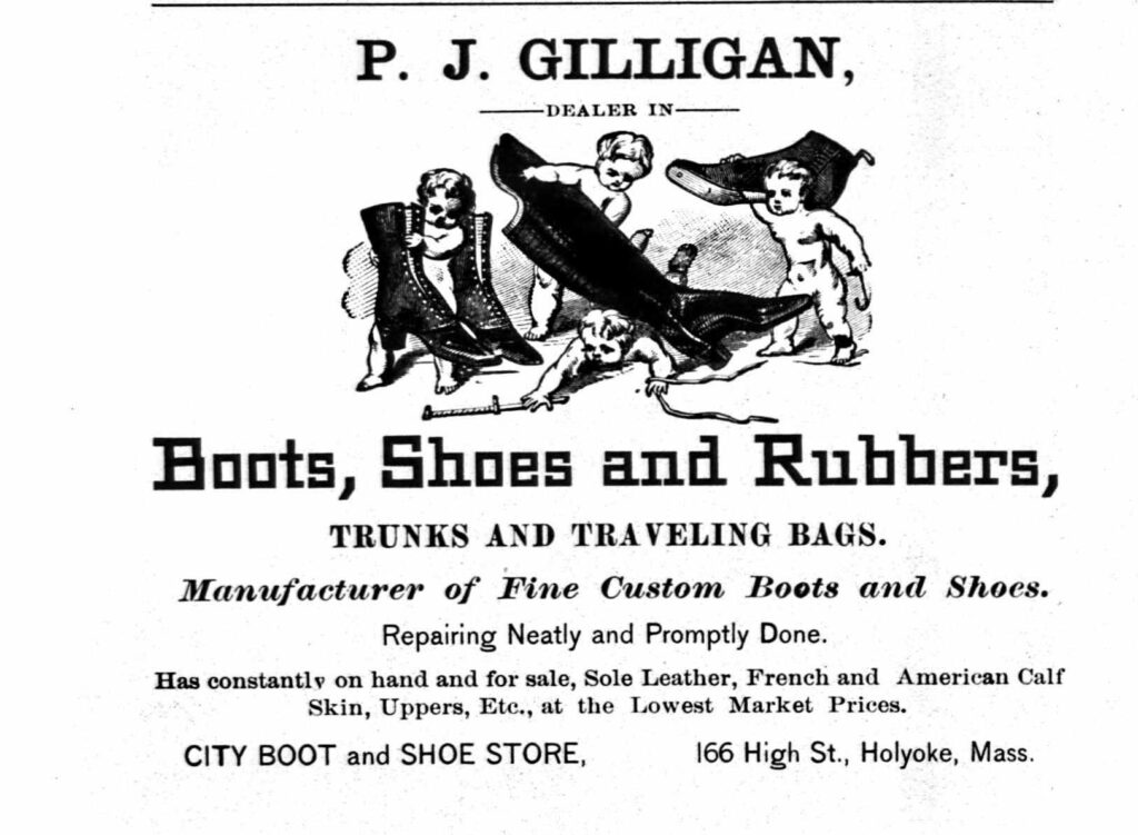
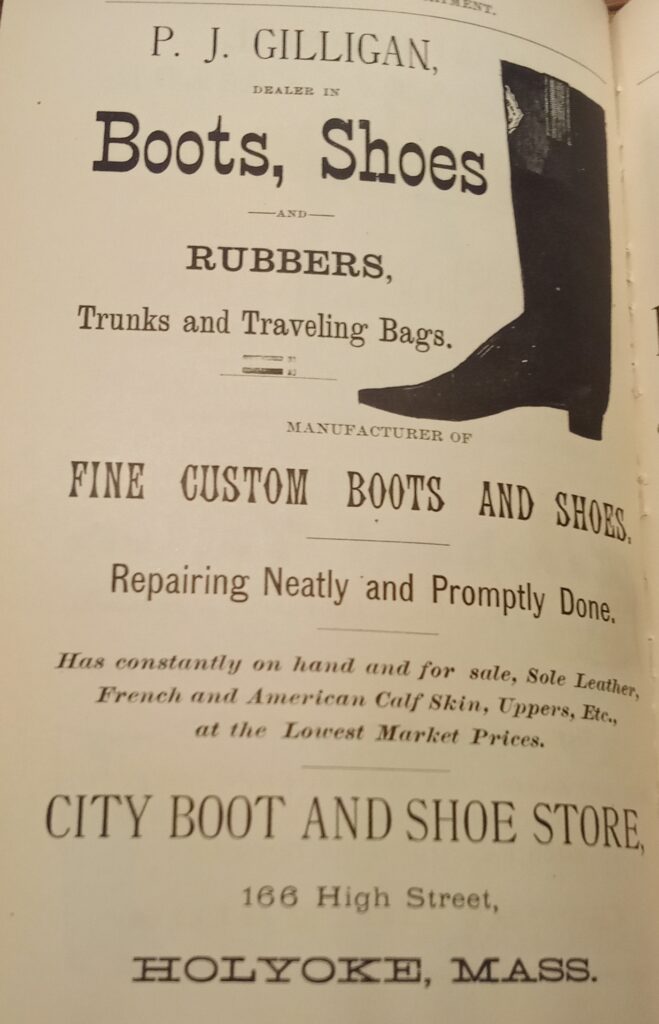
The Allyn Building is at 164-170 High Street and has served many purposes through the years. It started in 1871 in the Italianate style. It once housed the City Boot and Shoe Store.

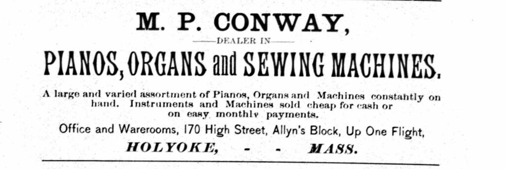
In 1885 the M P Conway Piano Dealer was here too.

This image has an empty alt attribute; its file name is 9696627-Copy-3-1024x343.jpg

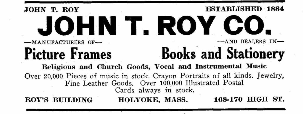
By 1915 this building and the one just north of it are being called the Roy’s Building and the Roy’s Block.

This image has an empty alt attribute; its file name is 9697600-1024x387.jpg
This image has an empty alt attribute; its file name is 10045474-1024x334.jpg

In 1940 the building is being called Bail’s Block.

By 1885 there are two more Allyn Blocks. There is one at 278 and 282 High Street and then there is one at 253 and 257 High.

Sanborn map analysis:

Sanborn 1884 map

Sanborn 1889 map

Sanborn 1895 map

Sanborn 1915 map

Sanborn 1949 map

Sanborn 1956 map

Cunningham Block

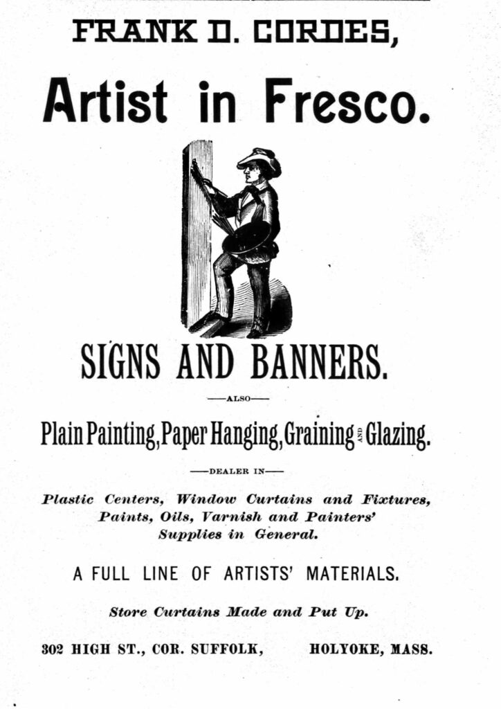
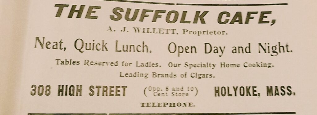
The Cunningham Block is at 302-308 High Street. Also called the Thime’s and Cordes’ Block.

Frank Cordes the sign painter was based here. Cordes did murals and sign painting. Some of his work might still exist but this is hard to verify. The Hampshire County Courthouse has his murals in the old part of the building in front. He also made some murals in Connecticut. In 1883 he was at 239 High.

That block is gone and the People’s Bank is here.

The Toggery was at 302 High Street and was a men’s clothing store.

In 1908 the Suffolk Cafe was at 308 High.

Sanborn map analysis:

Sanborn 1884 map has the artist shop here

Sanborn 1889 map shows that paint for artists and wall painters are here

Sanborn 1949 map

Sanborn 1956 map