Skiing in Anniversary Field (Holyoke)

Skiing in Anniversary Field (Holyoke)

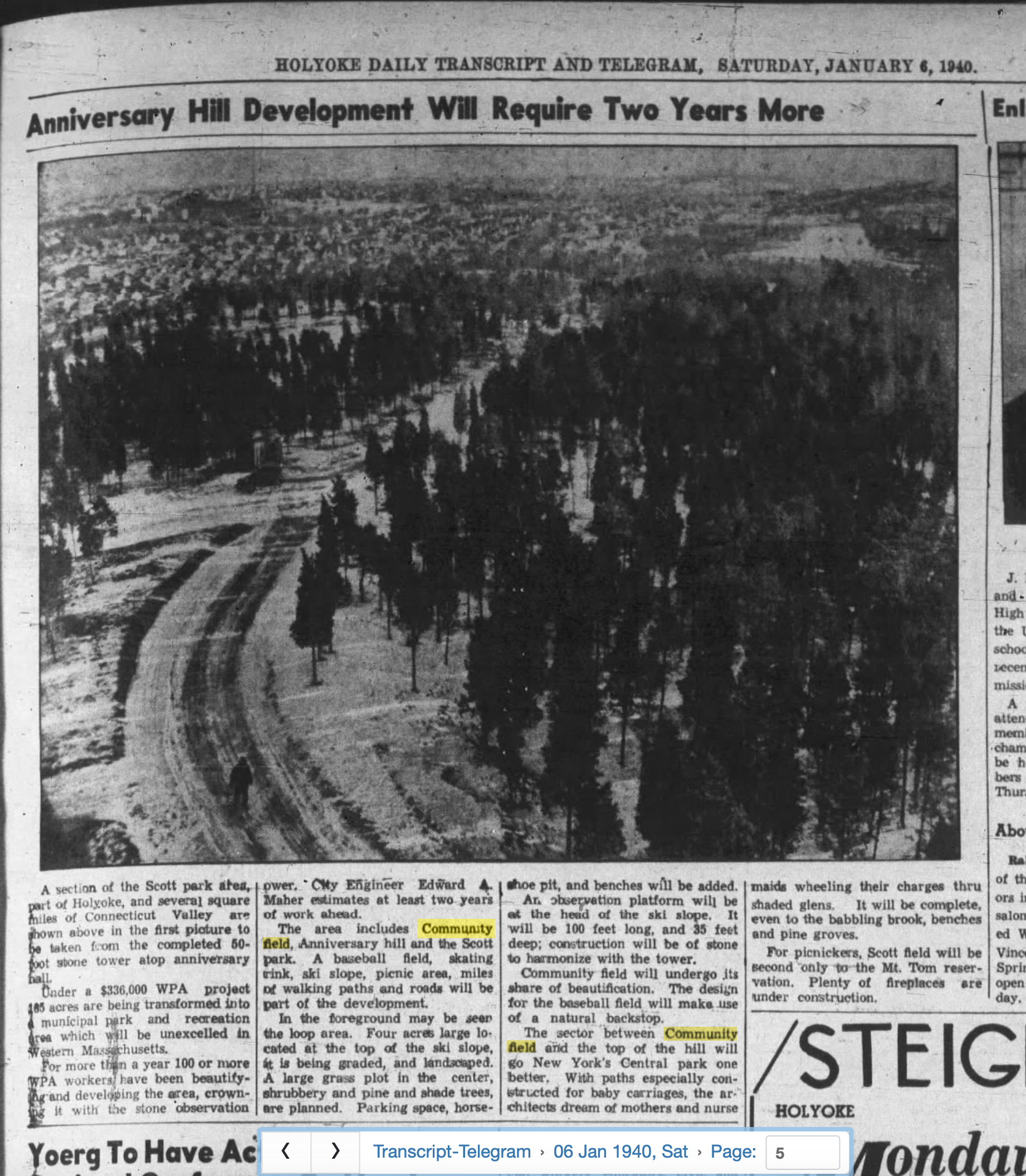
Beginning in 1937 the top of the hill was developed into a ski area. In 1938 skiing officially commenced on the slope of Anniversary Hill. This would become known as Ski Run. This was the first city owned ski run in Western Massachusetts. The smaller slopes on the northerly side were used by younger people.

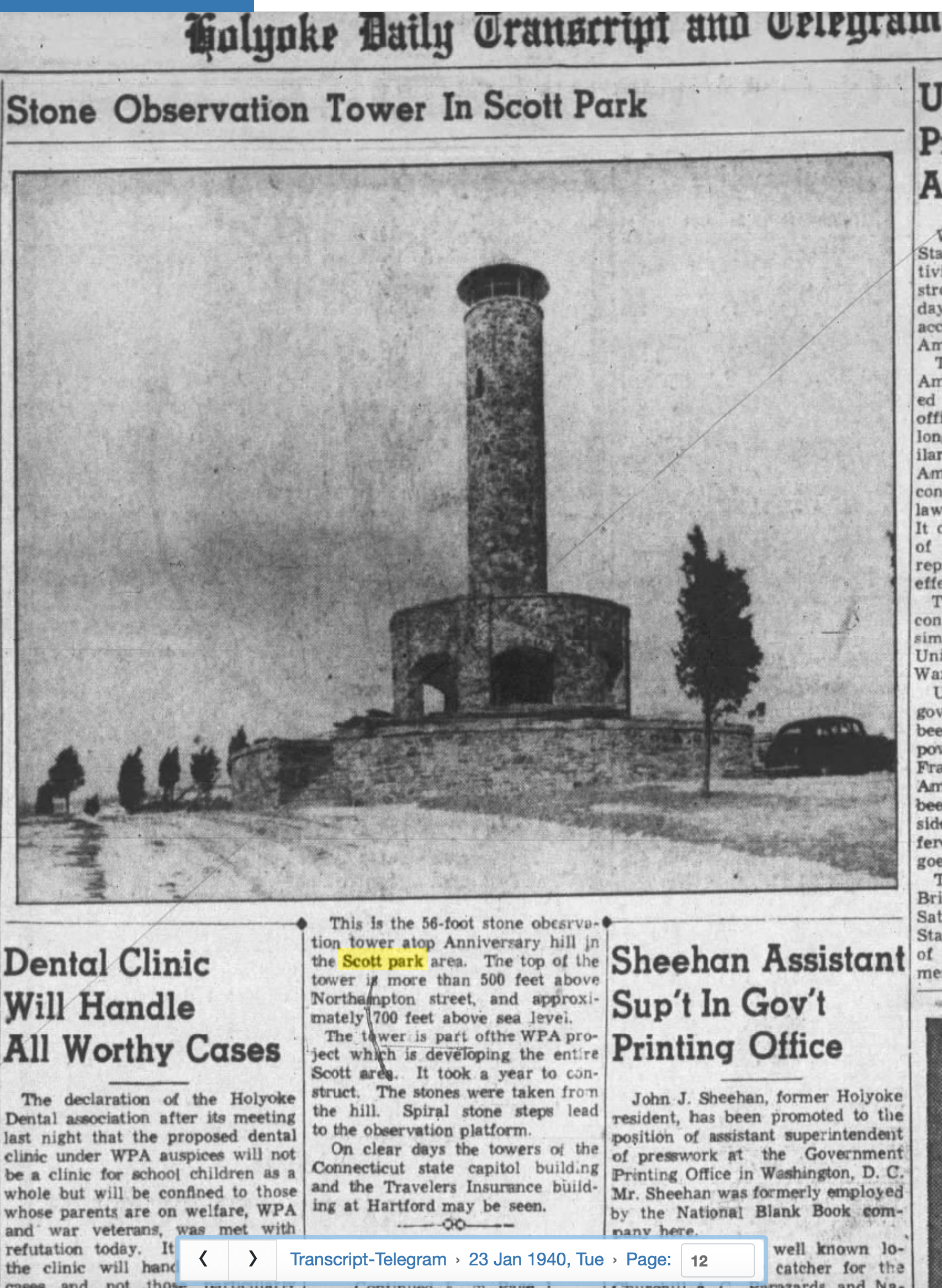
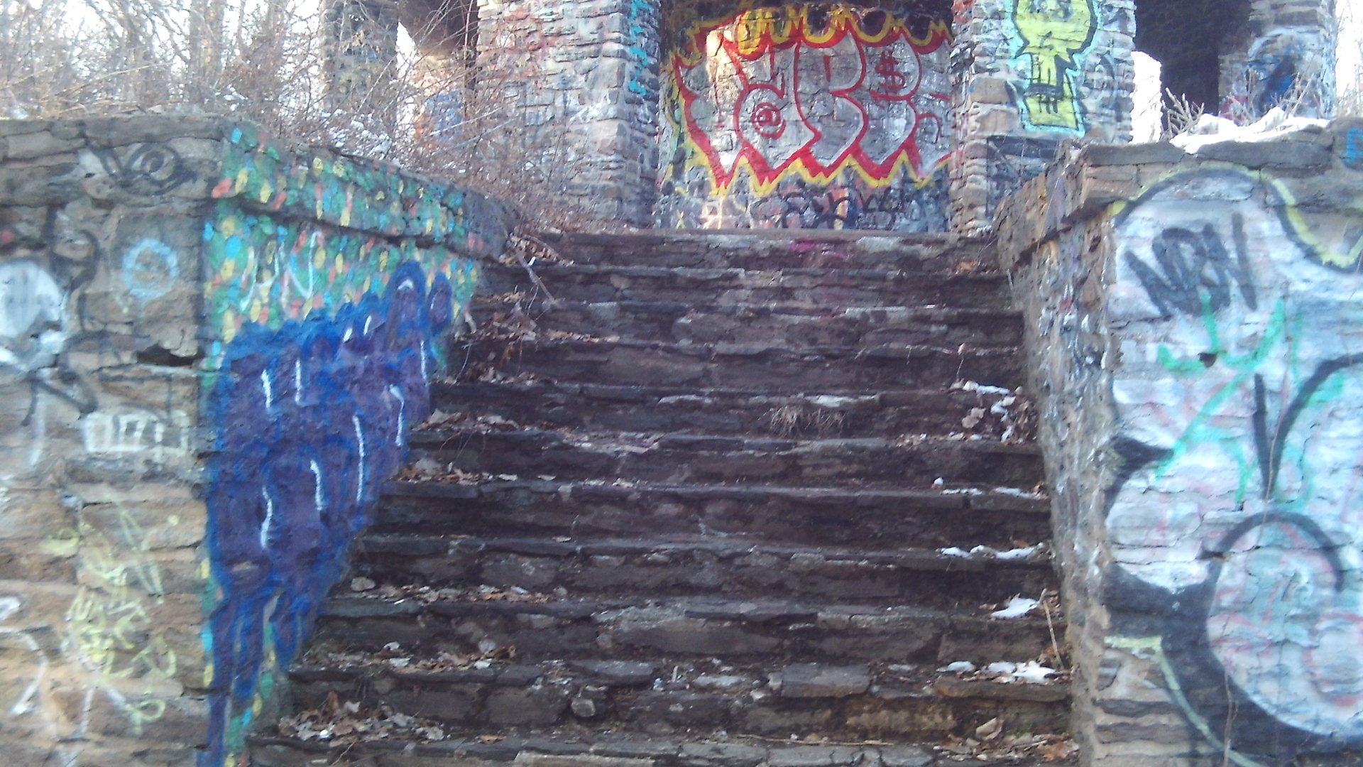
A downhill run of from 1000 feet to 400 yards was possible from the top of Anniversary Hill Park to the bottom in the Bowling Green area of Anniversary Field. Easthampton Road was off to the side until the mid-1960s so it was a clear run. The ski lift was a old car’s axle that had a chain running around it and then had a long rope attached to that. In 1940 during construction of the ski run, an observation platform was added at the top of the hill. It was 100 feet long and 35 feet deep and was of stone construction. A 1952 statement in the city register states that activity is declining at the ski slope but that small slopes on the north face of the hill were being used by youngsters for sledding and skiing.

At some point of time between 1915 and 1946 the Dwight Street Extension was put in.

Dillon Avenue is to the right of the ski run in the image.

Scott Tower in Holyoke

Scott Tower

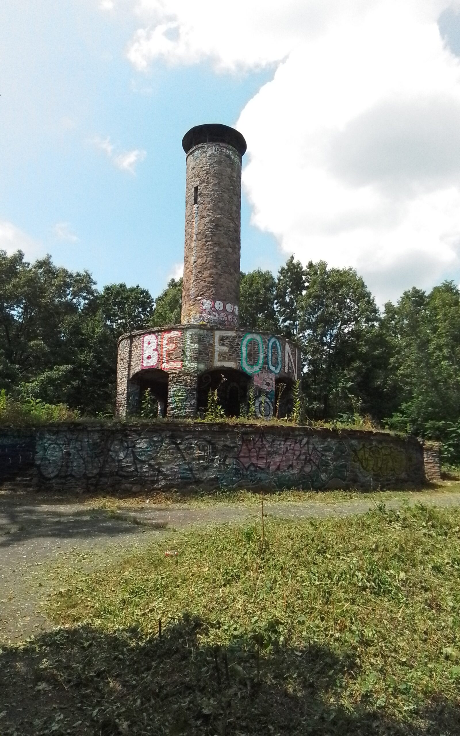
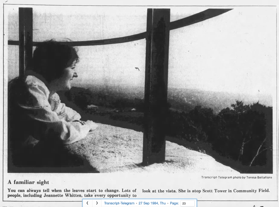
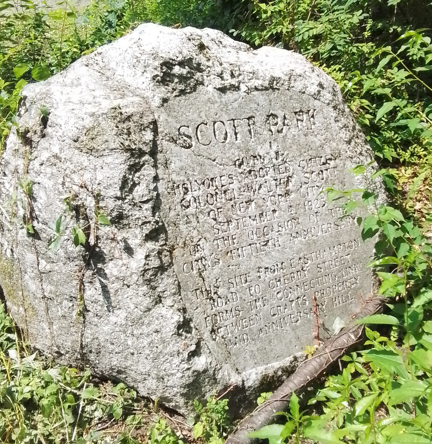
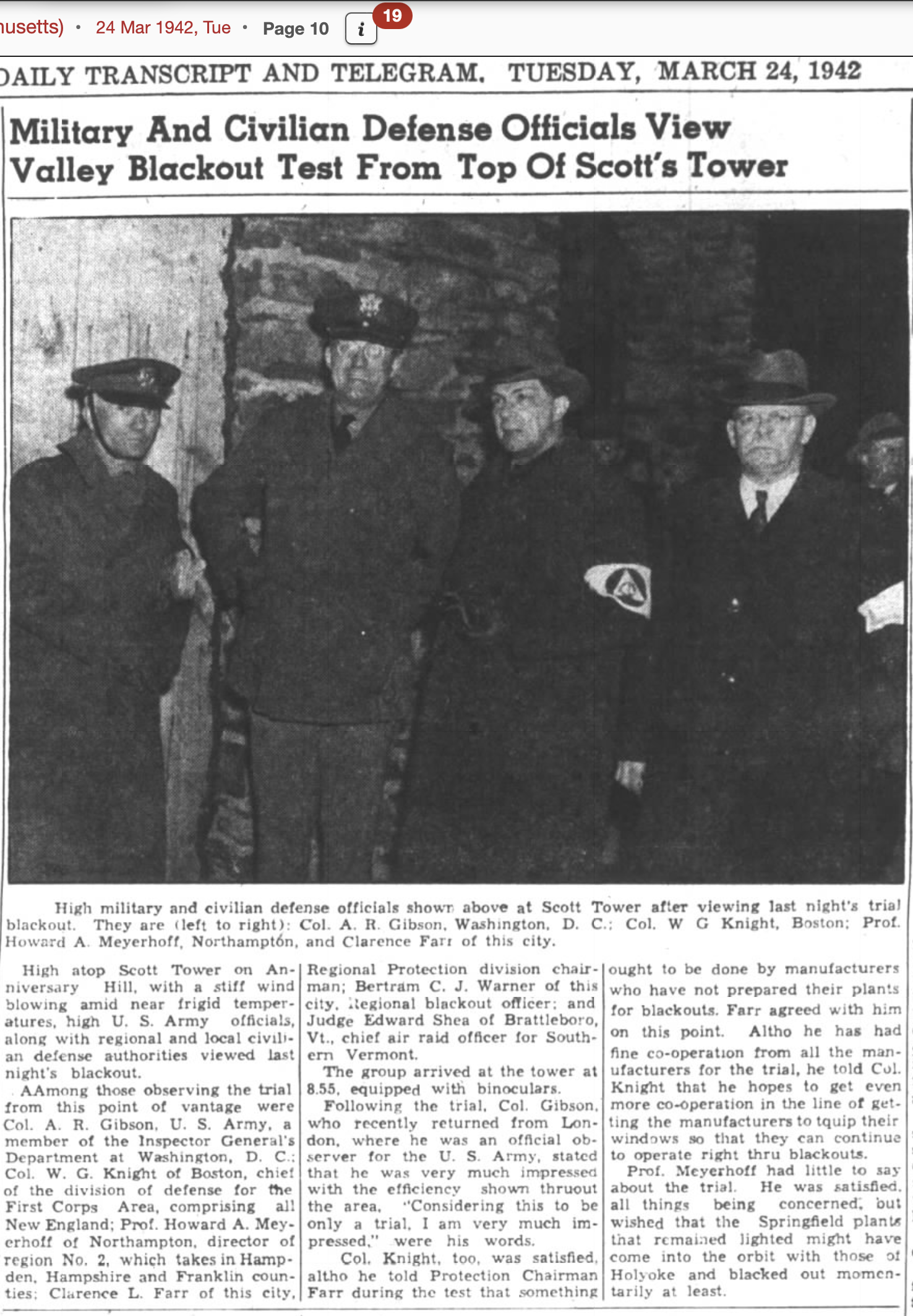
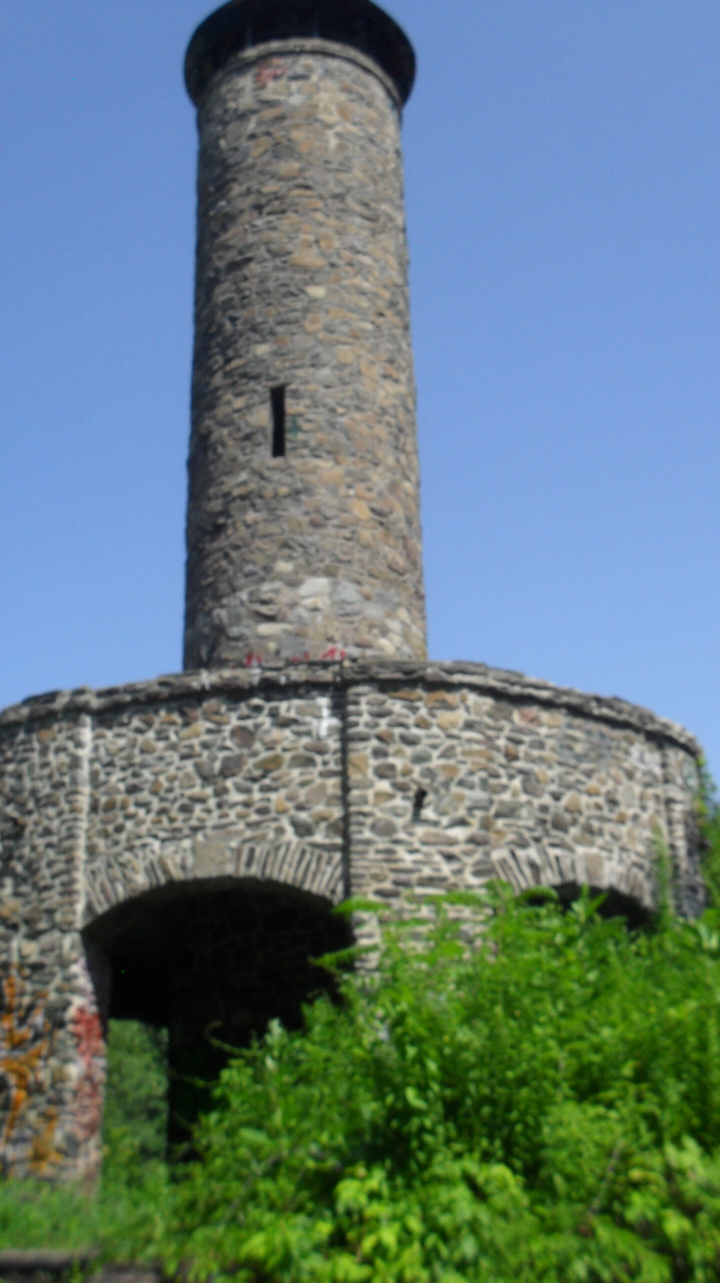
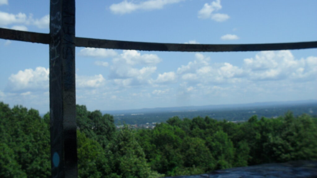
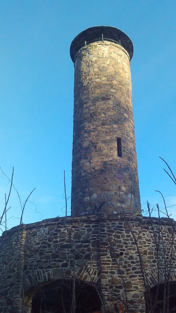
Scott Tower was finished in 1939 by the WPA. It is named after Walter Scott who donated this land and died in 1935.

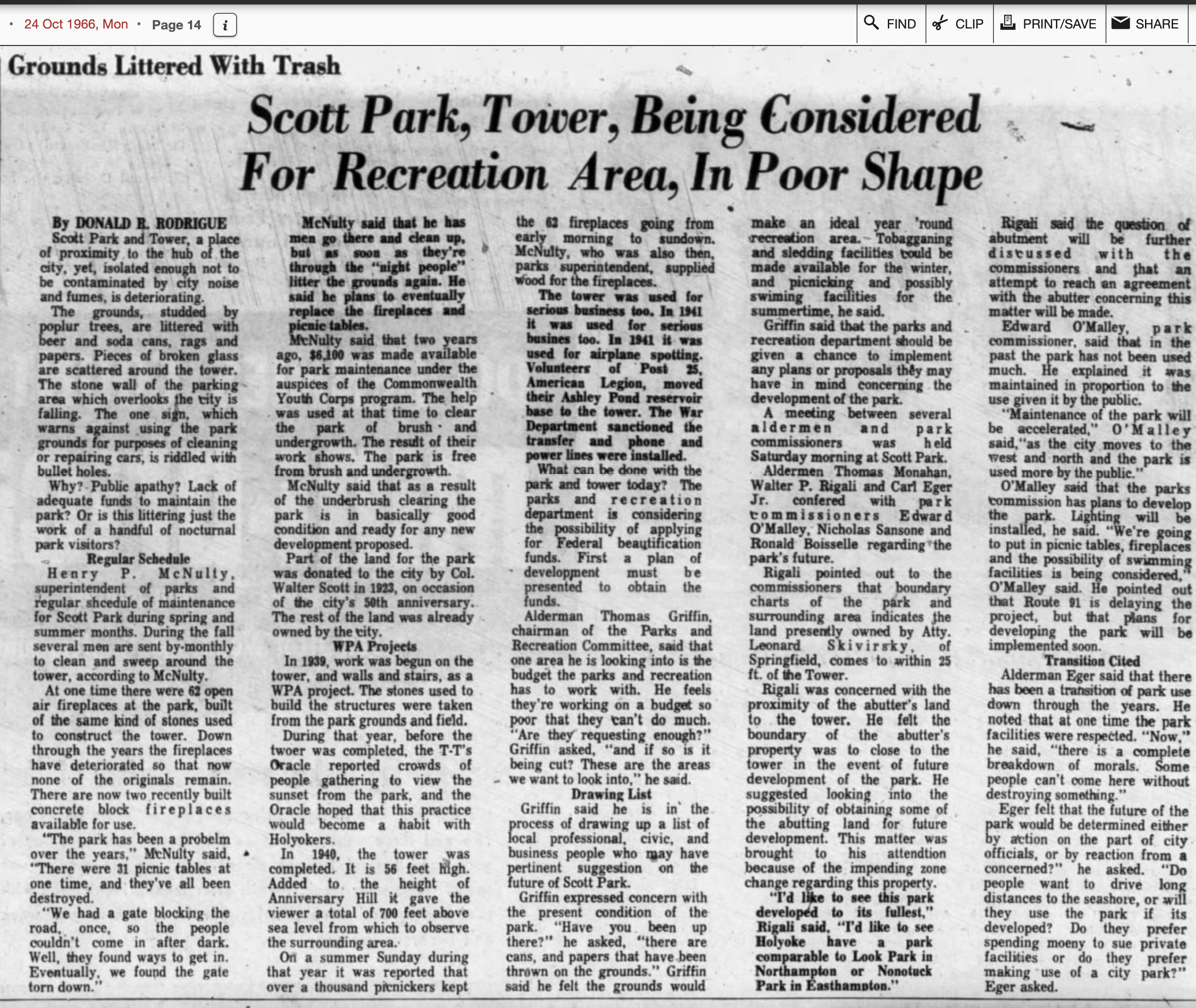
In 1939 a new tower was built here and called Walter Scott Memorial Tower. It was dedicated on December 24th of that year. It was named after Walter Scott (FINDAGRAVE) the donor of this land. During its first year it had thousands of visitors. The base was star shaped and the tower had 68 steps.

On its grounds, were added 32 fireplaces and 22 picnic tables.

In 1936 Anniversary Hill Park had had its summit name changed to Walter Scott Field. There must have been a plaque placed by Jarvis Avenue since in 1943 the city registry reports that it was moved to easterly side of the tower.

In 1941 a cabin was constructed at the entrance to the Scott Memorial Tower. In 1955 a paved lookout is added to the east of the tower and trees removed from that area. In 1956 a parking lot was added just to the south of the tower along with some more trails.

In 1976 using Legacy of Parks federal funds, the picnic tables were replaced and the stone bridge repaired. Most importantly, Scotts Tower was given a facelift.

This image has an empty alt attribute; its file name is ultra-67-575x1024.jpgThis image has an empty alt attribute; its file name is ultra-62-1024x576.jpgThis image has an empty alt attribute; its file name is ultra-59-1024x576.jpg
This image has an empty alt attribute; its file name is anni_20-576x1024.jpgThis image has an empty alt attribute; its file name is anni_19-1024x576.jpgThis image has an empty alt attribute; its file name is anni_18-1024x576.jpg

CCC Stone Bridges in Holyoke

CCC Stone Bridges in Holyoke

First CCC Stone Bridge in Holyoke LINK

Second CCC Stone Bridge in Holyoke LINK

Third CCC Stone Bridge in Holyoke LINK

Fourth CCC Stone Bridge in Holyoke LINK

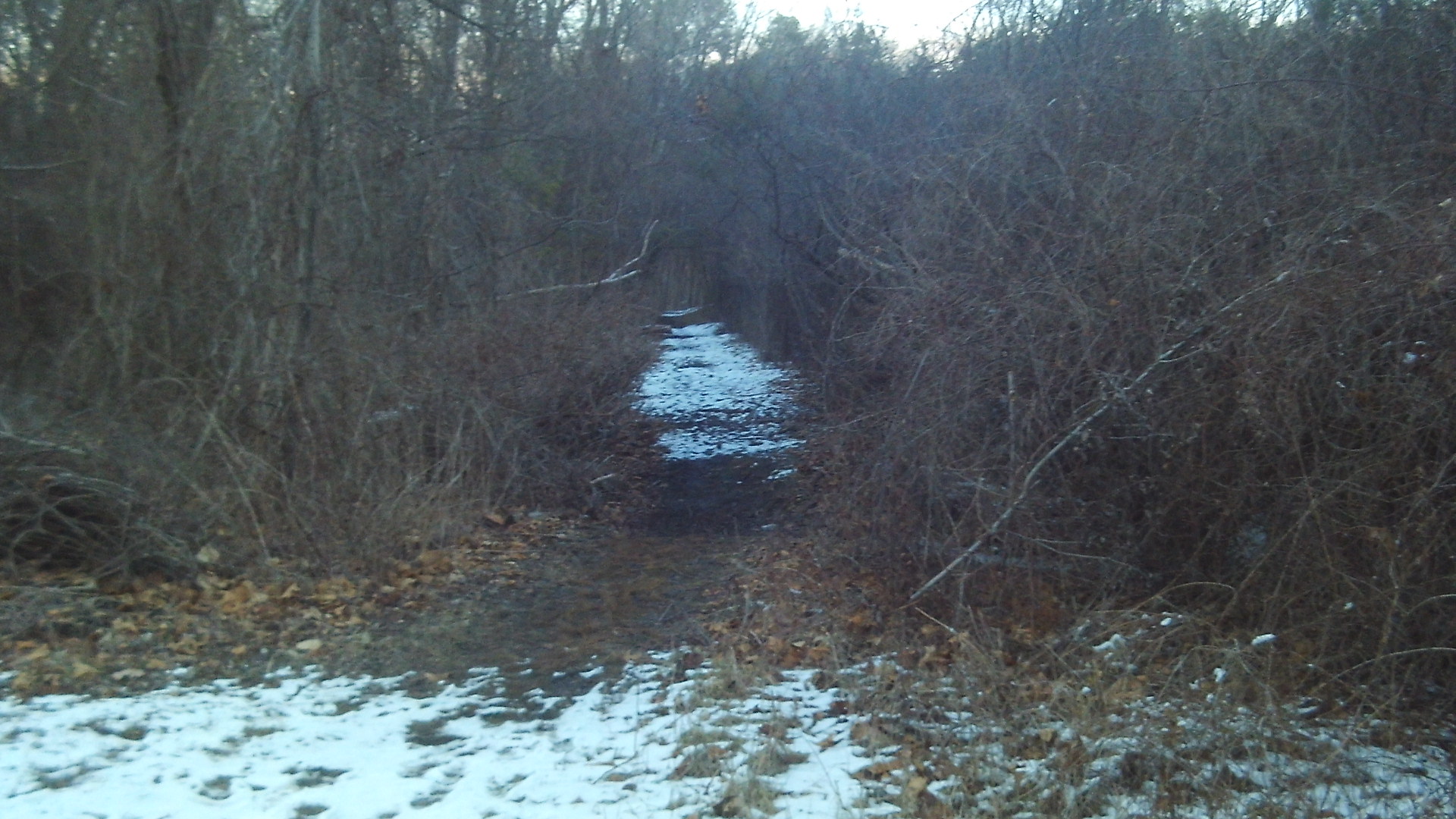
One bridge is more obvious than the other and both are more obvious in winter than in summer. Find the pole with the markings as seen in the first image and then take a right into the woods on the dirt path. The bridge is passable but the sides need repair.

To find the other bridge, find the telephone pole marked 11. Then look to the right side of the road and there should be a trail there. The bridge is still in good shape but there was a fallen tree on it as of 2022.
There are four stone bridges in the land that forms Community Field and Anniversary Field. Two are described above and two more are hidden within the lands and have no trails to them. The one higher in elevation within the land is shown in the two images below. The one lowest in elevation within the lands is not shown yet.

Cottage Street in Easthampton

Cottage Street in Easthampton

Southern edge of Cottage Street (even numbers):

structure nameaddressyearLINK
Frank Deubel Building124 Cottage St1900LINK
Lux Block108-112 Cottage St1910LINK
O’Brien Block100-106 Cottage St1910LINK
Majestic Theater82 1/2 Cottage St1923LINK
Lucchesi Restaurant and Tavern80-82 Cottage St1928LINK
72-78 Cottage St1928LINK
Thomas Lynn Company Building60-70 Cottage St1895LINK
34-42 Cottage St1932LINK
Russell’s Drug Store20-32 Cottage St1932LINK

Nashawannuck Pond LINK

Nashawannuck Mills Historic District

Northern edge of Cottage Street (odd numbers):

structure nameaddressyearLINK
Jamrog’s Cafe65 Cottage St1900LINK
Kennedy Block73 Cottage St1916LINK
Nashawannuck Company Workers Housing97 Cottage St1860LINK

Depot Square in Holyoke

Depot Square in Holyoke

Here you break the area into quadrants. To the northeast corner is the Hotel Jess also called the Perkins Block. This is a former hotel that is now going to be housing. The Hotel Jess is named after James Jess of Holyoke who was the owner from about 1900 to 1940s at least. His nephew William Jess ran the place and lived there for all those decades. James Jess lived at 41 Fairfield Avenue in Holyoke so he must have made a load of many on his ventures. The original owner was Levi Perkins who ran it as a store until his death in 1895. Levi Perkins is the nephew of Justin Perkins the Holyoke minister that went to Iran and then was buried in Rock Valley Cemetery.
This Levi Perkins called the building the Perkins Block and hence the name on the entablature.

Touching the Jess to its left was a Wylie Hardware at 7 Dwight Street.

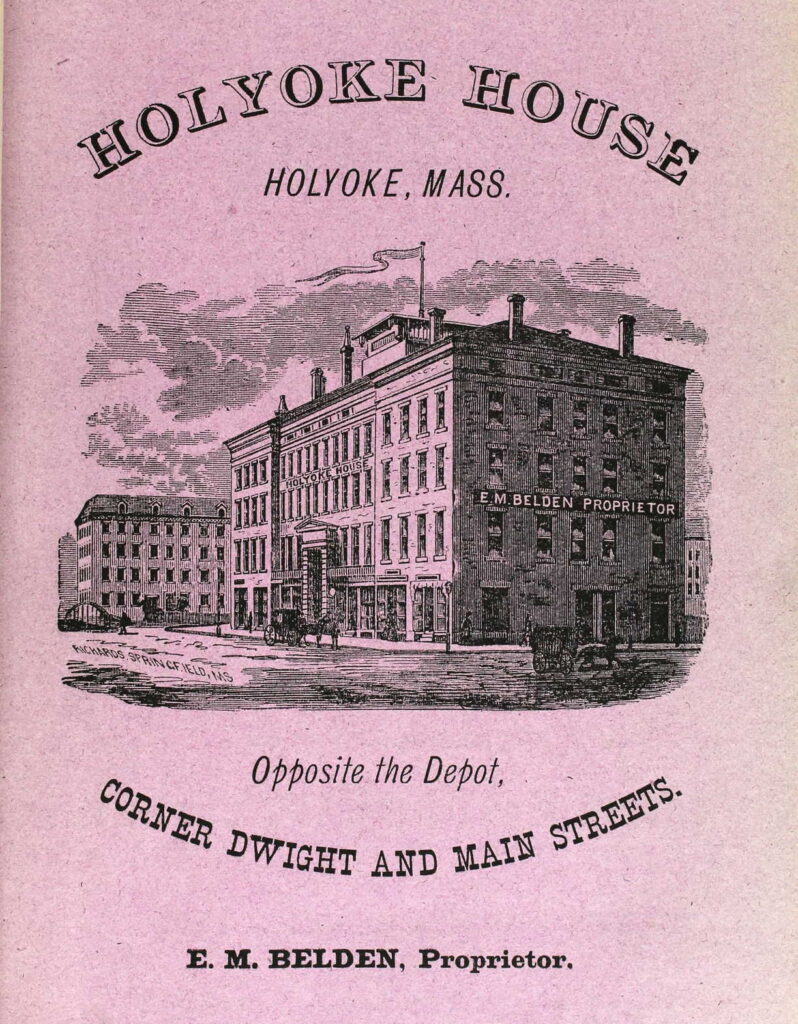
To the northwest is the Holyoke House (Hamilton Hotel) that was a hotel that also housed the Holyoke Post Office and some stores.

To the southwest is small retail buildings. First at the corner was the Hadley Falls National Bank. Then was the Burditt Hardware.

To the southeast is the passenger and freight train stations. Over the tracks was a footbridge that was put in place in 1893 to connect Dwight and East Dwight Streets.

Sanborn map analysis of the Depot Square area:

Sanborn 1884 map where Parsons Hall is on the 3rd floor and the Holyoke House has ground floor stores such as boots jewelry hats bank toys millinery and more – post office in the back section of ground floor

Sanborn 1889 map

Sanborn 1895 map A and map B which has a note on the Carter Livery that it will be replaced by a large brick block

Sanborn 1915 map in 1913 the post office moved in back of the hotel – map B finally identifies the Hotel Jess

This image has an empty alt attribute; its file name is SDC16741-1024x768.jpg
This image has an empty alt attribute; its file name is 41199_1220706242_4072-00032-798x1024.jpg
1871
This image has an empty alt attribute; its file name is 10045461-780x1024.jpg