
- Private GROUP TOUR (COSTS) is one hour long for this Judd Paper and Neighborhood walking tour. Also a one hour indoor presentation can be given.
- A free public tour comes up every five years.
- A self-tour is available for anyone using the maps and text seen below. – LOCATION

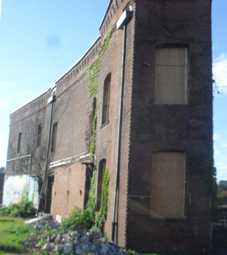
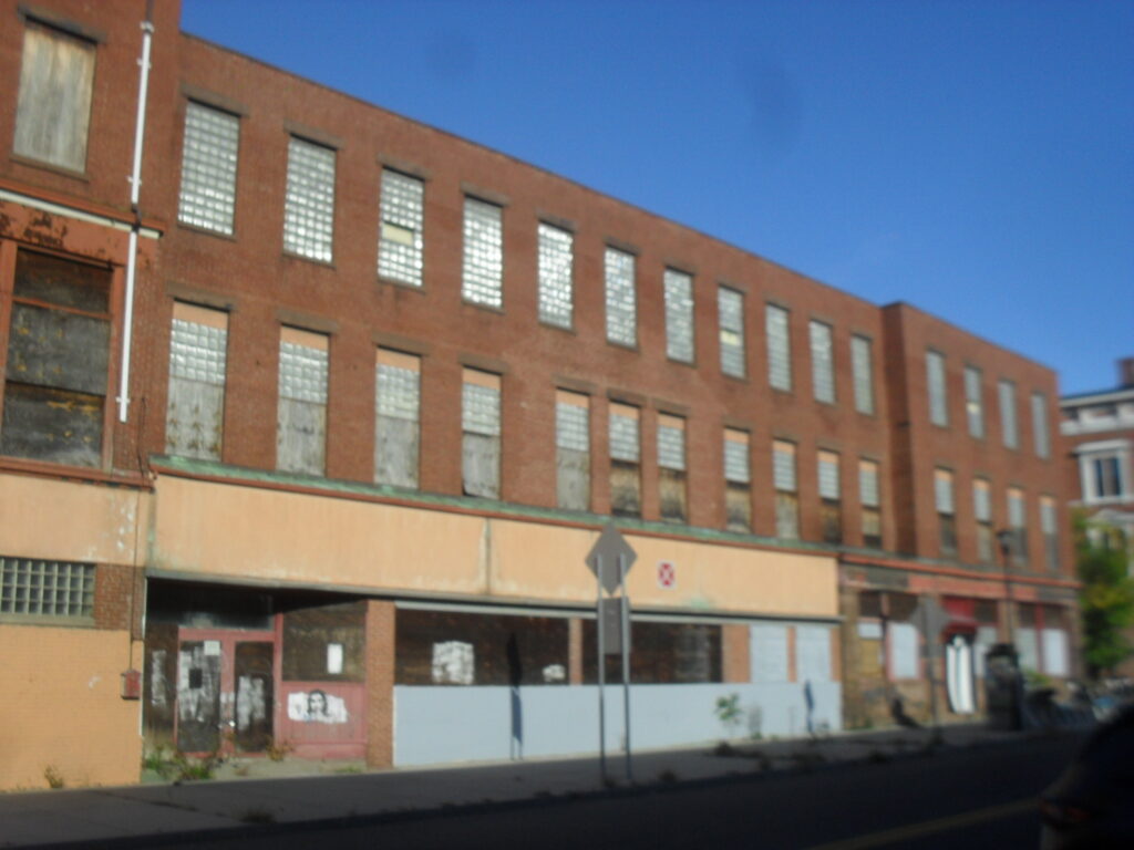
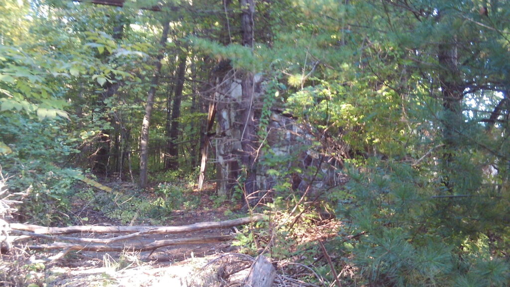
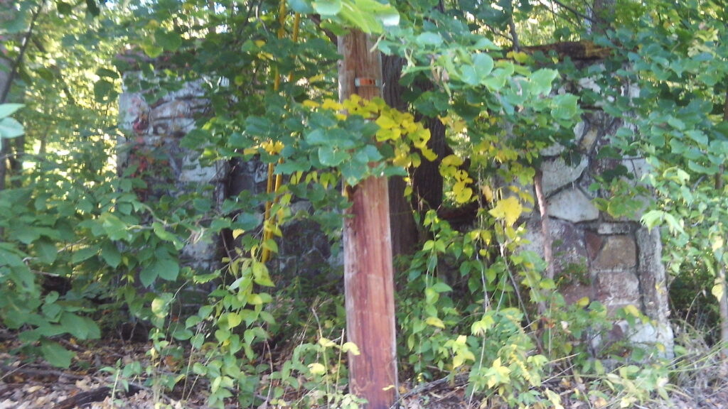
The Judd Paper (Gateway City Arts) is at 92 to 96 Race Street. The John K Judd founded Judd Paper in 1883 in Holyoke. At first they were on Main Street but in 1890 they moved to Race Street. John Judd continue as president until his death in 1929. (FINDAGRAVE) A massive fire destroyed the Judd on March 4 1921. They rebuilt quickly. The company still exist to this date – see LINK.


Judd was one of the many paper distributors around Holyoke. LIST
Outdoor Stop 1 – Canal Walk
Read about the Canal Walk area. Also read about the Lyman Mills and area. One additional building to point out is the Cubit. It houses the HCC Culinary Arts Institute in tandem with MGM. On the top two floors is the Cubit Lofts. On the lowest level is the Cubit Co-Works Space.
Outdoor Stop 2 – Main Street
In 1915 the Armour Co. was in front and the Burnham Ware House behind the railroad cut. At the corner of Middle and Main was the Burnham Grist Mill with its corner also cut off. Cyrus Burnham ran the mills.
At 77 Main Street was the Hotel Lawler.
In 1949, The Holyoke Valve and Hydrant Company might have faced onto Main Street but it had a train that crossed into it northwest corner.
A new addition to the area is a NetZero home.


Outdoor Stop 3 – Depot Square
Here you break the area into quadrants. To the northeast corner is the Hotel Jess also called the Perkins Block. This is a former hotel that is now going to be housing. The Hotel Jess is named after James Jess of Holyoke who was the owner from about 1900 to 1940s at least. His nephew William Jess ran the place and lived there for all those decades. James Jess lived at 41 Fairfield Avenue in Holyoke so he must have made a load of many on his ventures. The original owner was Levi Perkins who ran it as a store until his death in 1895. Levi Perkins is the nephew of Justin Perkins the Holyoke minister that went to Iran and then was buried in Rock Valley Cemetery.
This Levi Perkins called the building the Perkins Block and hence the name on the entablature.


Touching the Jess to its left was a Wylie Hardware at 7 Dwight Street.

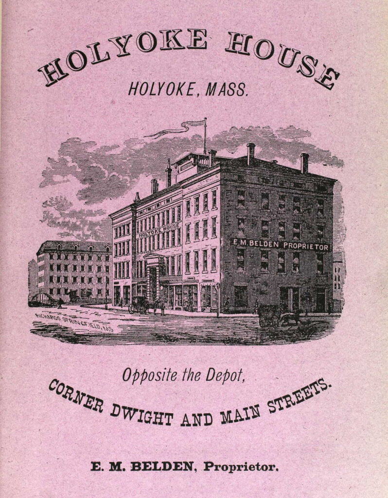
To the northwest is the Holyoke House (Hamilton Hotel) that was a hotel that also housed the Holyoke Post Office and some stores.
To the southwest is small retail buildings. First at the corner was the Hadley Falls National Bank. Then was the Burditt Hardware.


To the southeast is the passenger and freight train stations. Over the tracks was a footbridge that was put in place in 1893 to connect Dwight and East Dwight Streets.
Sanborn map analysis of the Depot Square area:
Sanborn 1884 map where Parsons Hall is on the 3rd floor and the Holyoke House has ground floor stores such as boots jewelry hats bank toys millinery and more – post office in the back section of ground floor
Sanborn 1895 map A and map B which has a note on the Carter Livery that it will be replaced by a large brick block
Sanborn 1915 map in 1913 the post office moved in back of the hotel – map B finally identifies the Hotel Jess
Outdoor Stop 4 – Sears Block

Parsons Hall is there with its bright red door. It was used as a town hall before 1874.


Indoor Stop 1 – Bistro / Famous Cafe
Indoor Stop 2 – Judd’s
Indoor Stop 3 – Devine Theater
Indoor Stop 4 – music hall
Sanborn map analysis of Judd Paper:


