
Author: admin


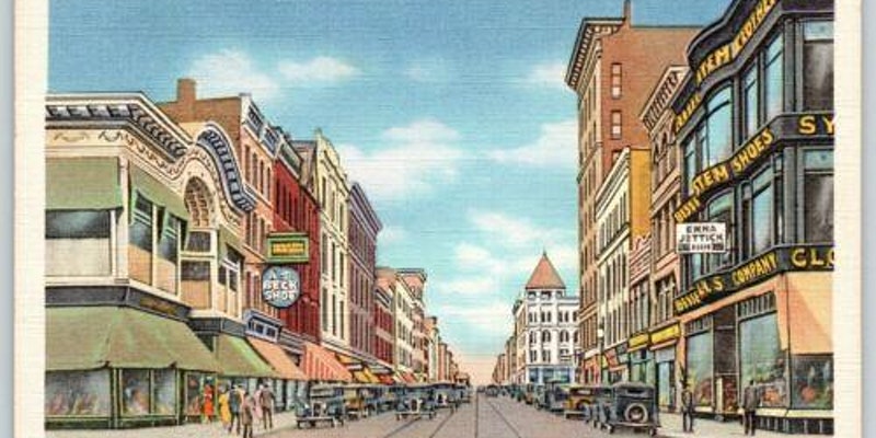
The Bud
The Bud was at 30 John Street. No, there was never a tunnel from Holyoke City Hall to the Bud. Perhaps city officials would love to have such a tunnel to got to their favorite pub but no evidence is there.
Sanborn map analysis:
Sanborn 1884 map shows that it is a bottler of alcohol and that is wooden and 2 floors
Sanborn 1889 map same
Sanborn 1895 map shows it as a candy factory and it is 3 floors and brick
Sanborn 1915 map it is now for wholesale alcohol
Sanborn 1956 map shows that it is a restaurant
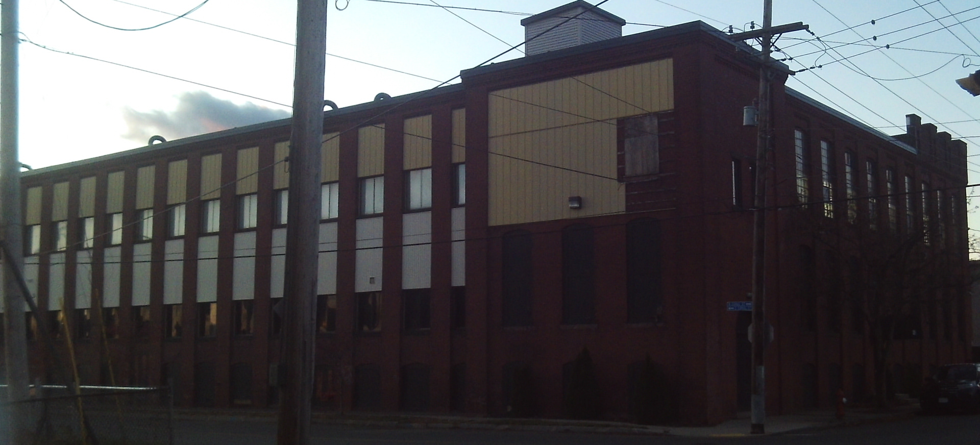
Besse System Building
The Besse System Building is an old structure even though the facade is new. It is at 292-300 High Street. The alley side of the building once had a stained glass window.
Lyman Besse started up a chain of stores across the northeastern USA. He lived in the McKnight neighborhood of Springfield. See his FINDAGRAVE page. See one of his ads.

In 1918 it is being called the Besse Mills Company.
Sanborn map analysis:
Sanborn 1884 map shows an empty lot
Sanborn 1889 map shows three 1 story buildings on that lot
Sanborn 1895 map shows one 1 story building only
Sanborn 1915 map shows a three floor building there
Sanborn 1949 map shows the same
Sanborn 1956 map shows the same
Ducharme Building
In the beginning this is called the Ducharme Building. It is at 309-311 High Street. By 1940 it is called the Buckingham Block.
Its present facade hides the old building. By the 1950s Dorothy Dodd’s was located here. In 1981 they close their operations.
Sanborn map analysis:
Sanborn 1895 map it is 4 floors
Sanborn 1915 map it is 4 floors
Skolnik Block
The 399-403 High Street block was called the Skolnik Block.
Sanborn map analysis:
Sanborn 1884 map shows an empty city block
Beebe Building
The Beebe Building was at 413-417 High Street.
One mid-1900s tenant was the New York Butter House.
Sanborn map analysis:
Sanborn 1884 map lot is empty
Sanborn 1895 map has it called the Fritzell Block
Sanborn 1949 map it is 4 floors
Sanborn 1956 map same
Baker Building


366-368 High Street is an 1880 building called the Baker Building. It was in the beginning the home of a stove and furnace firm.
By 1920 it is being called the Glesmann’s Block.
Sanborn map analysis:
Sanborn 1884 map there is a one floor block for a fruit dealer
Sanborn 1915 map shows a 4 floor building with a well hole between the third and fourth floor
Sanborn 1949 map shows the same
Sanborn 1956 map shows the same
146 High Street
At 146 High we have a very interesting little building.
Sanborn map analysis:
Sanborn 1884 map has it has a one floor cigar shop made of brick facade
Sanborn 1889 map has it has a one floor cigar shop made of brick facade
Sanborn 1895 map has it has a one floor harness shop of wooden facade
Sanborn 1915 map has it has a one floor Chinese laundry made of brick facade
161-167 High Street
The 161-167 High location has always been with wooden structures only. This is the only location on northern High Street as such. The original wooden structure is still there but now with a stone and brick facade. The three part interior is now one part.
Sanborn map analysis:
Sanborn 1915 map it is three separate buildings and no internal doors to join them and all in wood
Sanborn 1949 map it is three separate building with some joint doors inside and all of wood and is one floor
Sanborn 1956 map now it is one building in wood of one floor
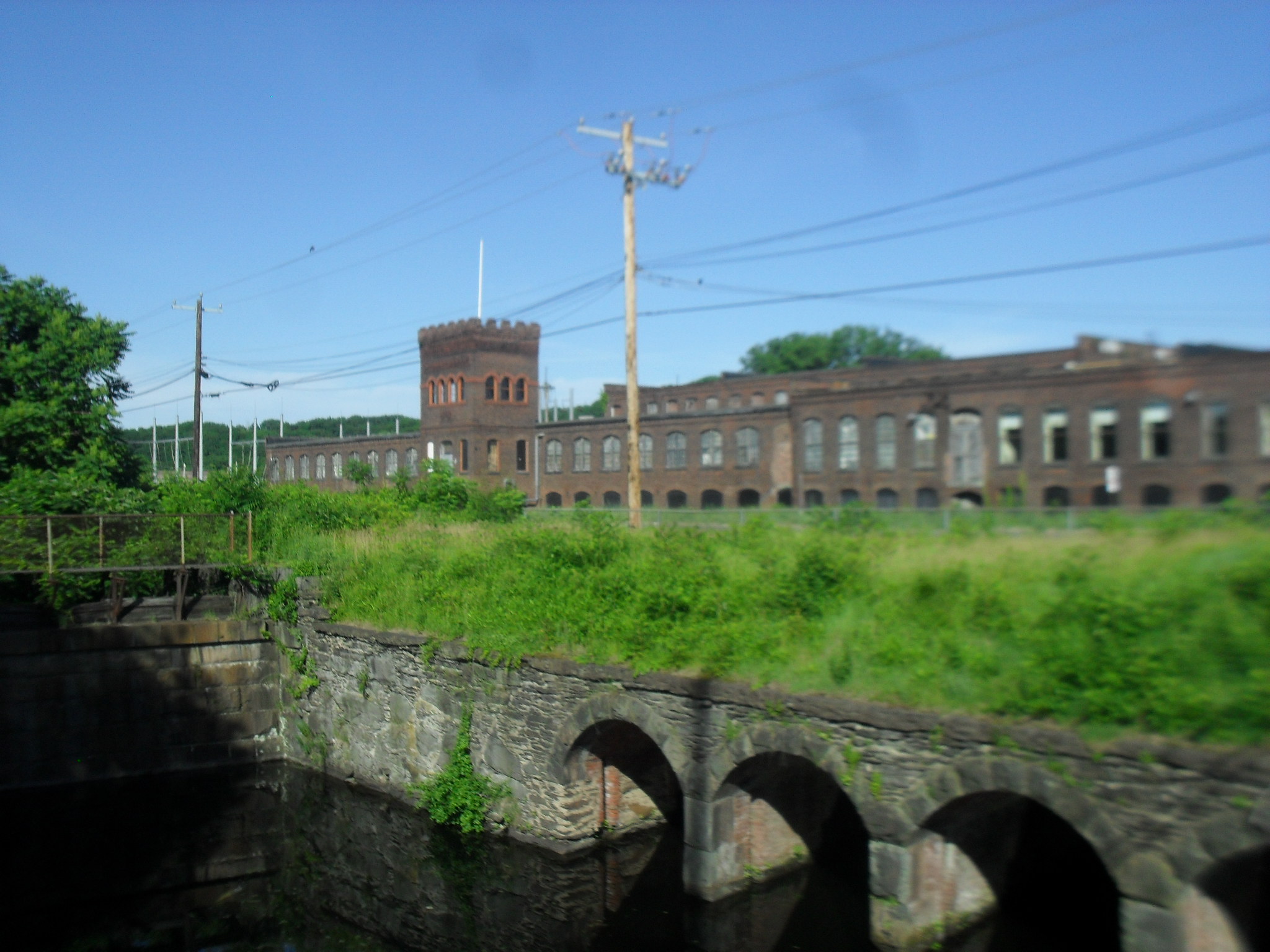
Old Spillway 5 and and History of the Canals
The Old Spillway 5 is at the juncture of Appleton Street and Water Street.
This is were the spillway number 5 used to be before it was taken out. Stand on Appleton Street between Water Street and the juncture of North Canal and South Canal Streets. Look to the north. There is the spillway. The water in the Second Level Canal once flowed a half mile farther south. Now this portion is just a safety canal. It is the southeastern end of the Second Level Canal.
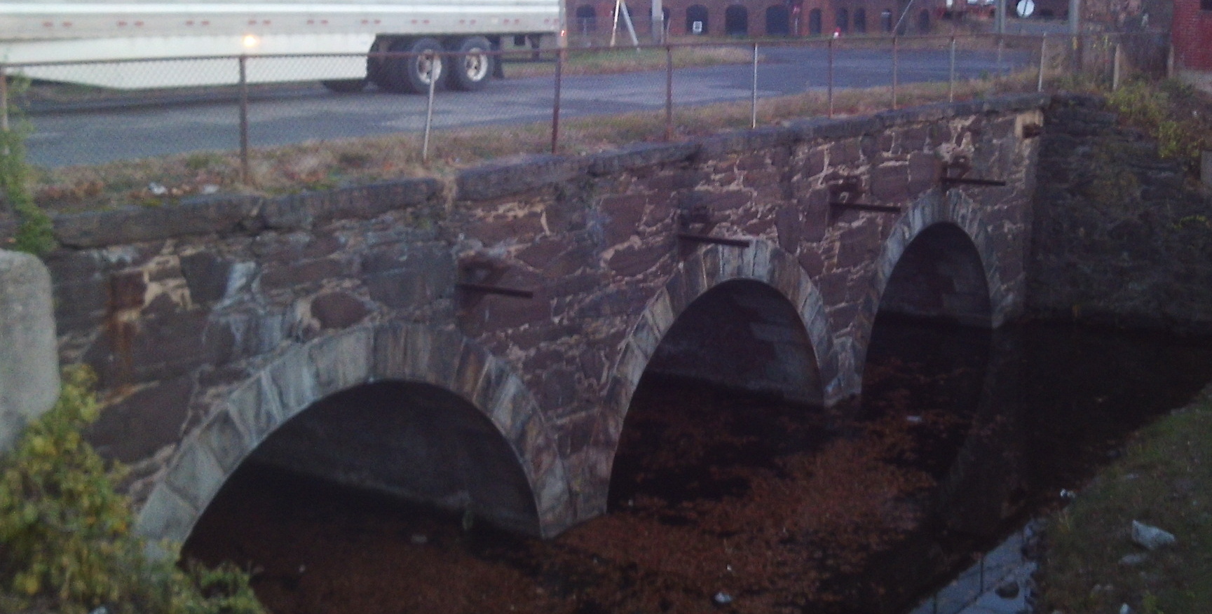
The Norman Paper Mill is just to the east.
History of the Canals by their Development in Lengths
First Level Canal:
1847 to 1853 dug to 350 feet north of Dwight Street
1871 to 1872 dug to Appleton Street
1872 to 1880 dug to 75 feet north of Cabot Street
1880 to 1883 dug to Sargeant
Second Level Canal:
1847 to 1853 dug along the western branch from County Bridge to 150 feet north of Cabot and Race
1854 to 1857 dug south to the end
1872 to 1874 dug along the eastern branch from County Bridge to Lyman Street at the River
1880 to 1882 dug along the eastern branch to 600 feet more
1888 to 1892 dug to Appleton
Third Level Canal:
unknown – dug from Race to Cabot
1880 to 1884 dug from Cabot to Appleton
The mill to your west is the Whitmore Paper Mill
The mill to your southwest is the Marvellum or Springfield Photo Mount firm.
