
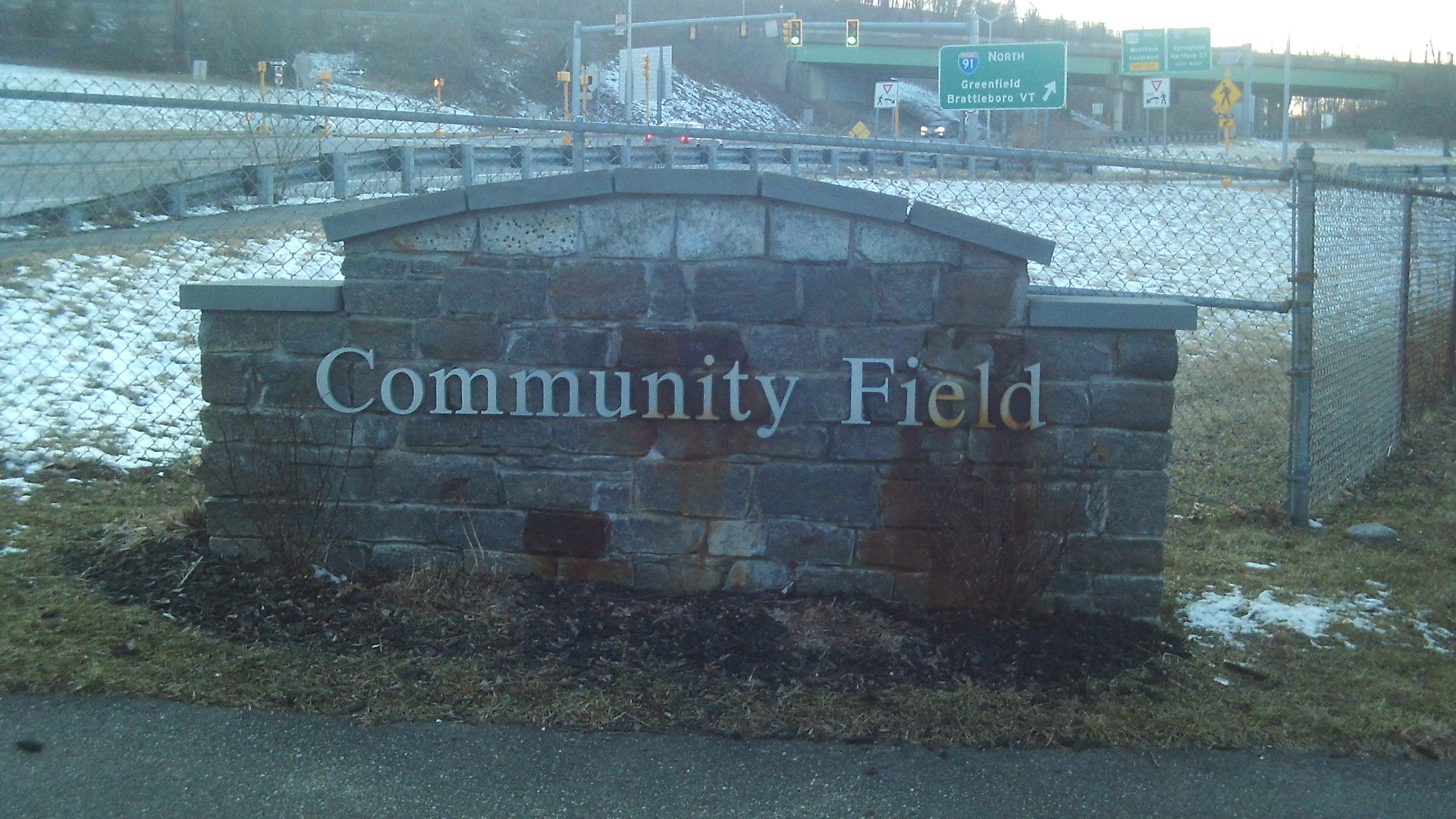
A private walking tour is possible. Also a one hour indoor presentation can be given.
This is the Anniversary and Community Fields Walking Tour. To read up on its general history, go HERE.
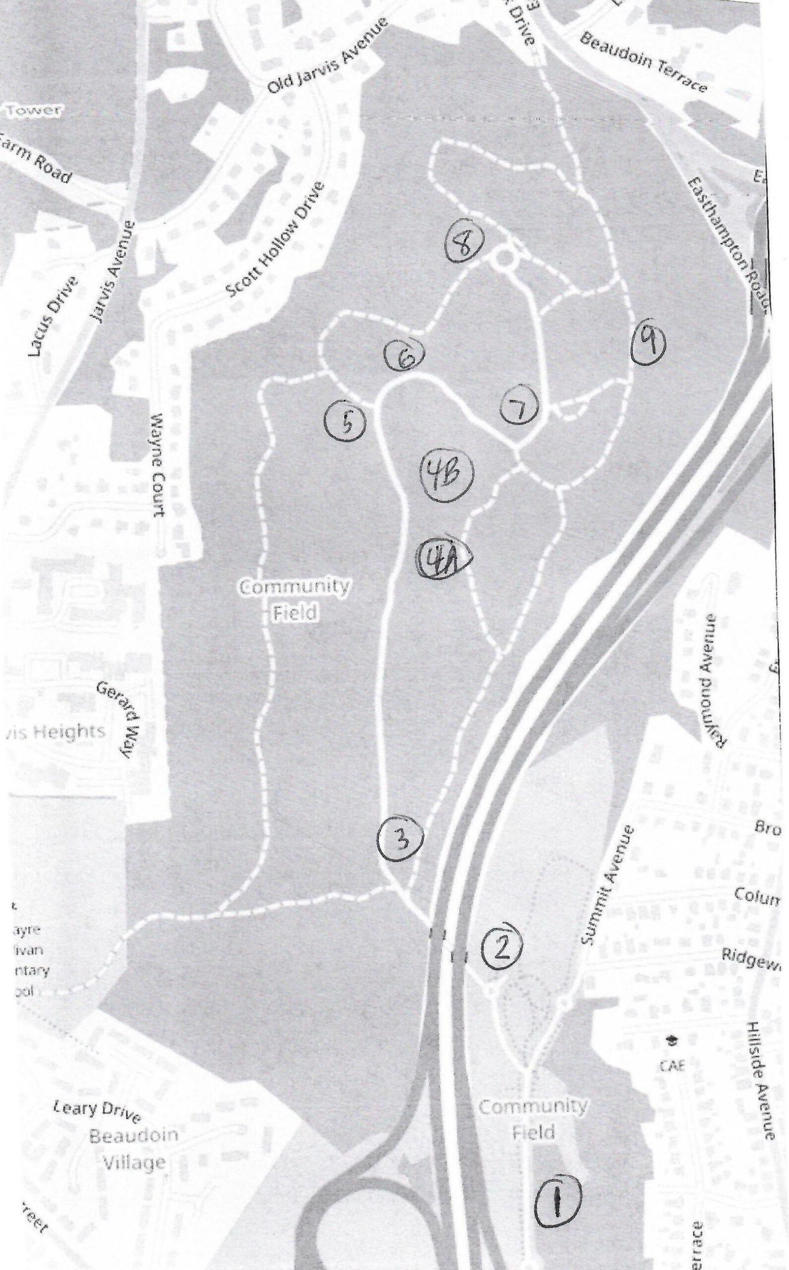
Stop 1 – Community Field and Day Brook
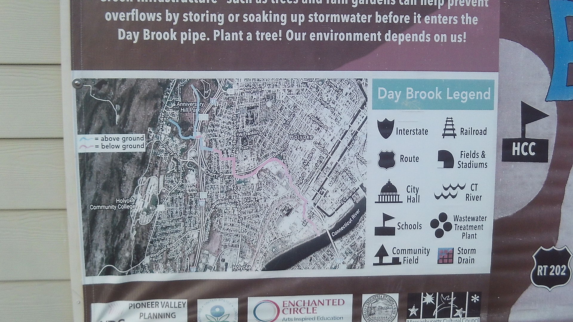
Day Brook is about 2.5 miles long from the top of Crafts Hill to its end at the Connecticut River. The segment from Norwood Terrace to just past MacKenzie Field was placed underground from 1925 to 1926. This is 4883 feet long or about 0.9 miles. It is not yet know when the segment from MacKenzie Field to the Connecticut River was placed under ground.
Stop 2 – Recreation
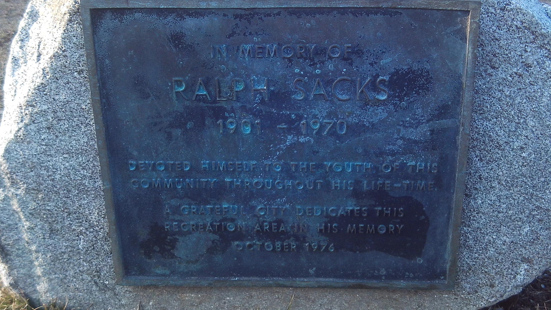
Ralph Sacks memorial stone
Stop 3 – Civilian Conservation Corps Trails LINK
Stop 4 – CCC Stone Bridges LINK
Stop 5 – Old Road
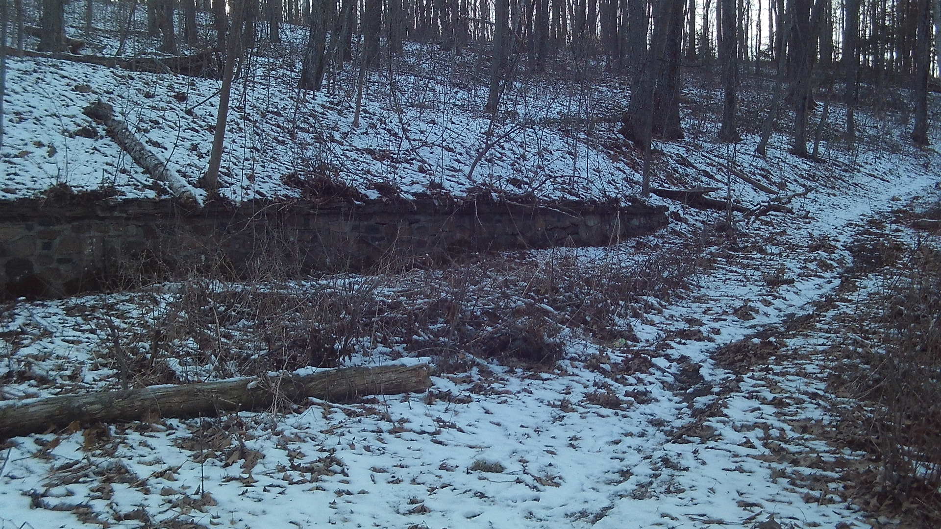
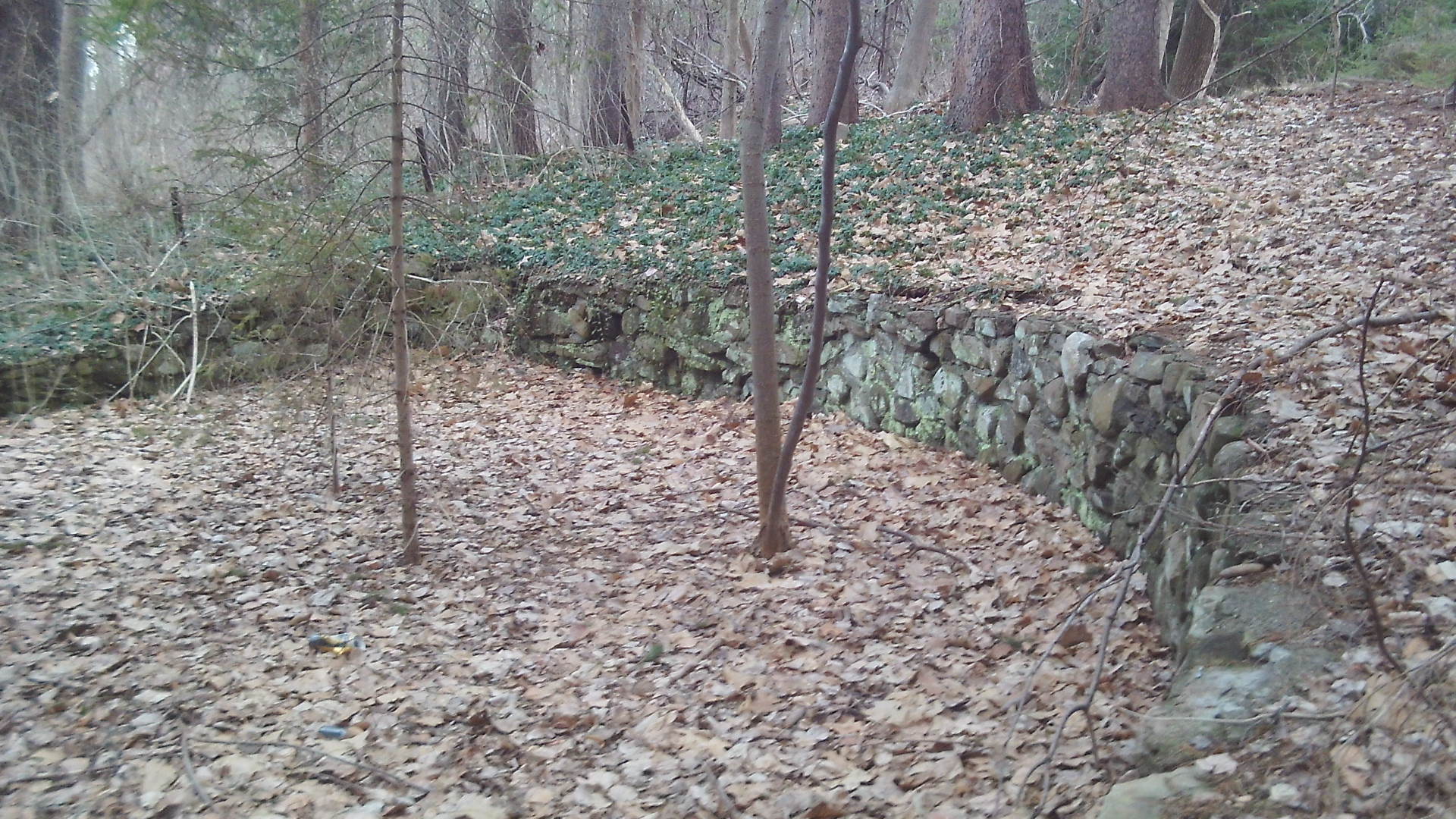
Back on the road, you will see a stone wall on the left. This was made by the CCC to support the grade of the hill. If you happen to go onto this dirt road and walk 150 feet more, then you will find a larger stone wall to support the even steeper hill and with a another wall at its right to support its base. This is the original road from the 1930s. The trail system and the road did not cross until a later time.
Stop 5A – Dam on Brook
About 30 feet more along the road find a peculiar looking dam on the brook. This is to your left. It was most likely a flood control dam. People did swim in it.
Stop 6 – Old Steps
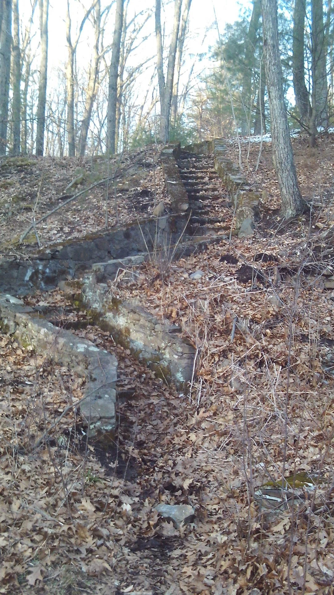
Just a bit more on the tar road and on the left you will see a winding set of steps up the hill. They are walkable. There are 32 of them. The path on top leads to the tower.
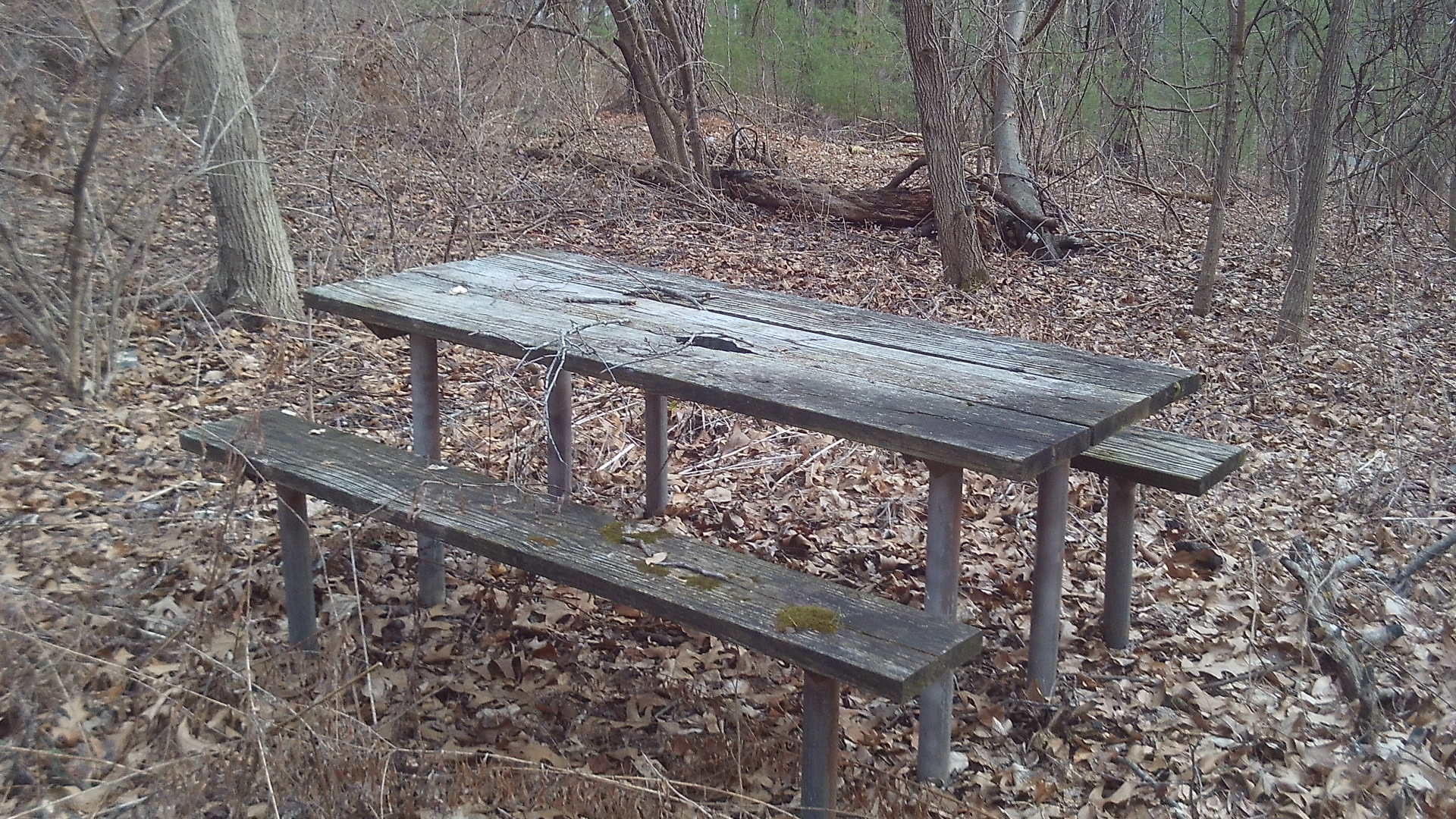
Stop 8 – Scott Tower LINK
Stop 9 – Anniversary Field
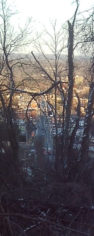
A side trail to the east of the tower leads to a fenced area in which you will get a grand view of Holyoke. Until 1963 the two parts of Anniversary Field were joined together into one. There was Anniversary Field at the bottom and Anniversary Hill Park at the top. A ski run started near this stop 9 and descended to where the fire station is now.
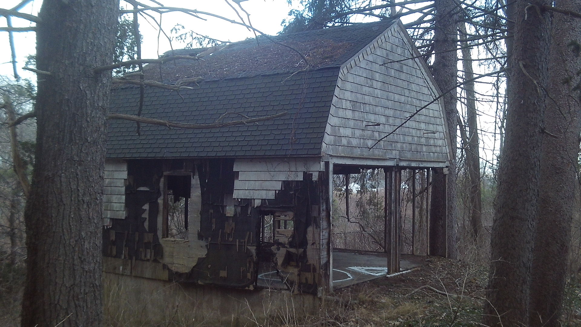
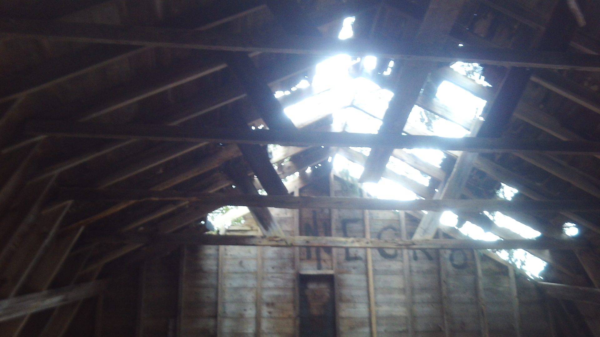
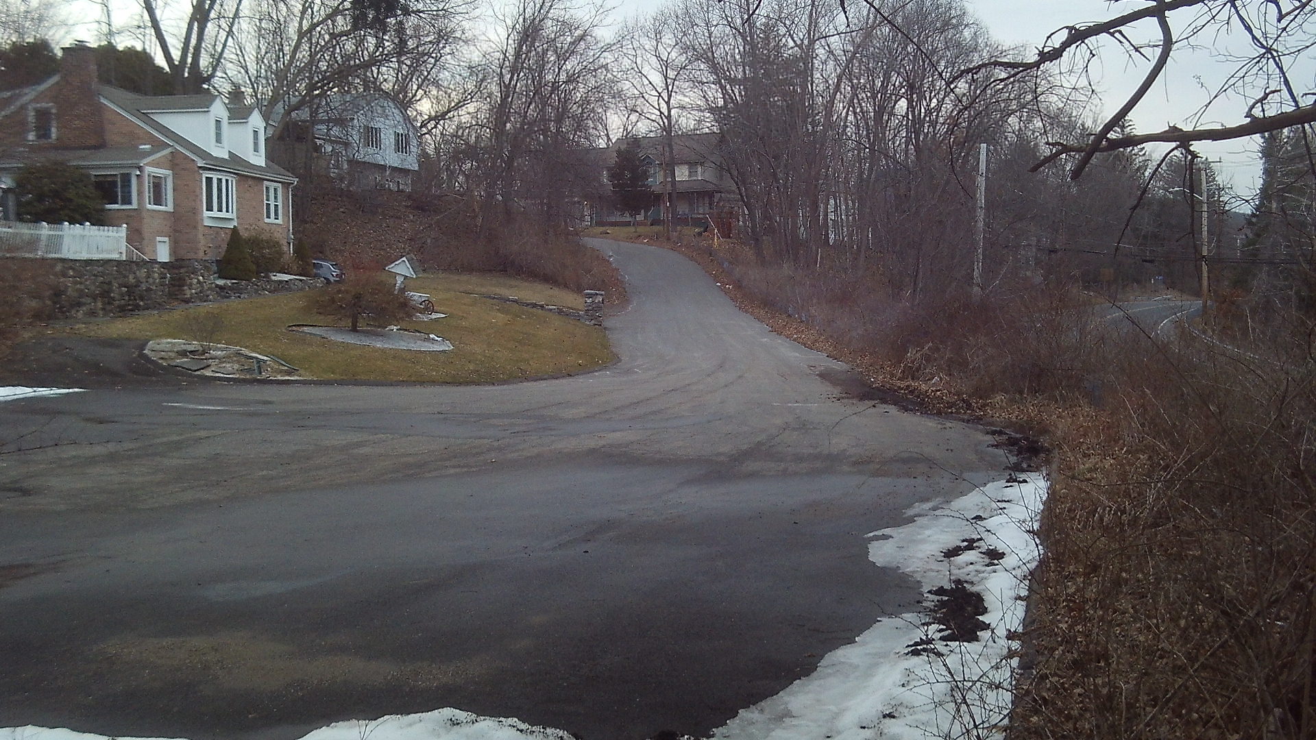
If you continue to your north along this fence and then onto a dirt path. This is the old Anniversary Field Road which after one third of a mile leads to the old cabin. There at Overlook Drive, Anniversary Road continued first to the north and then to the southeast to the base at Northampton Street.
See renovations.
Many a time walked or drove up to Scott’s Tower. The last time I visited (mid to late 90’s) I was sorry I went. Graffiti and the smell broke my heart.
Holyoke has been purchasing land on the hillsides of Anniversary and Community Fields and when done they will be improving the tower and more.
Yes. Love to see it happen!