Mount Tom and the Mountain Brook
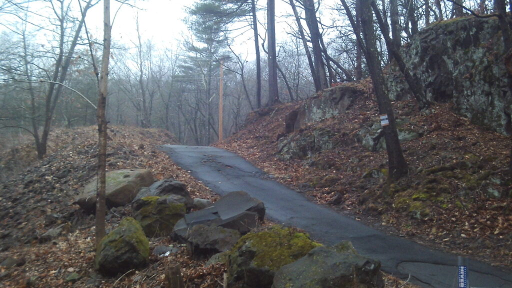
This path leads to the top of Mount Tom. (LOCATION) The old trolley bed is found up this trail also. To get to the mountain road walk this trail and then 10 feet along the tarred road and then a sharp left to climb the mountain. Mount Tom is 1266 feet above sea level. Climb it some day with a friend.
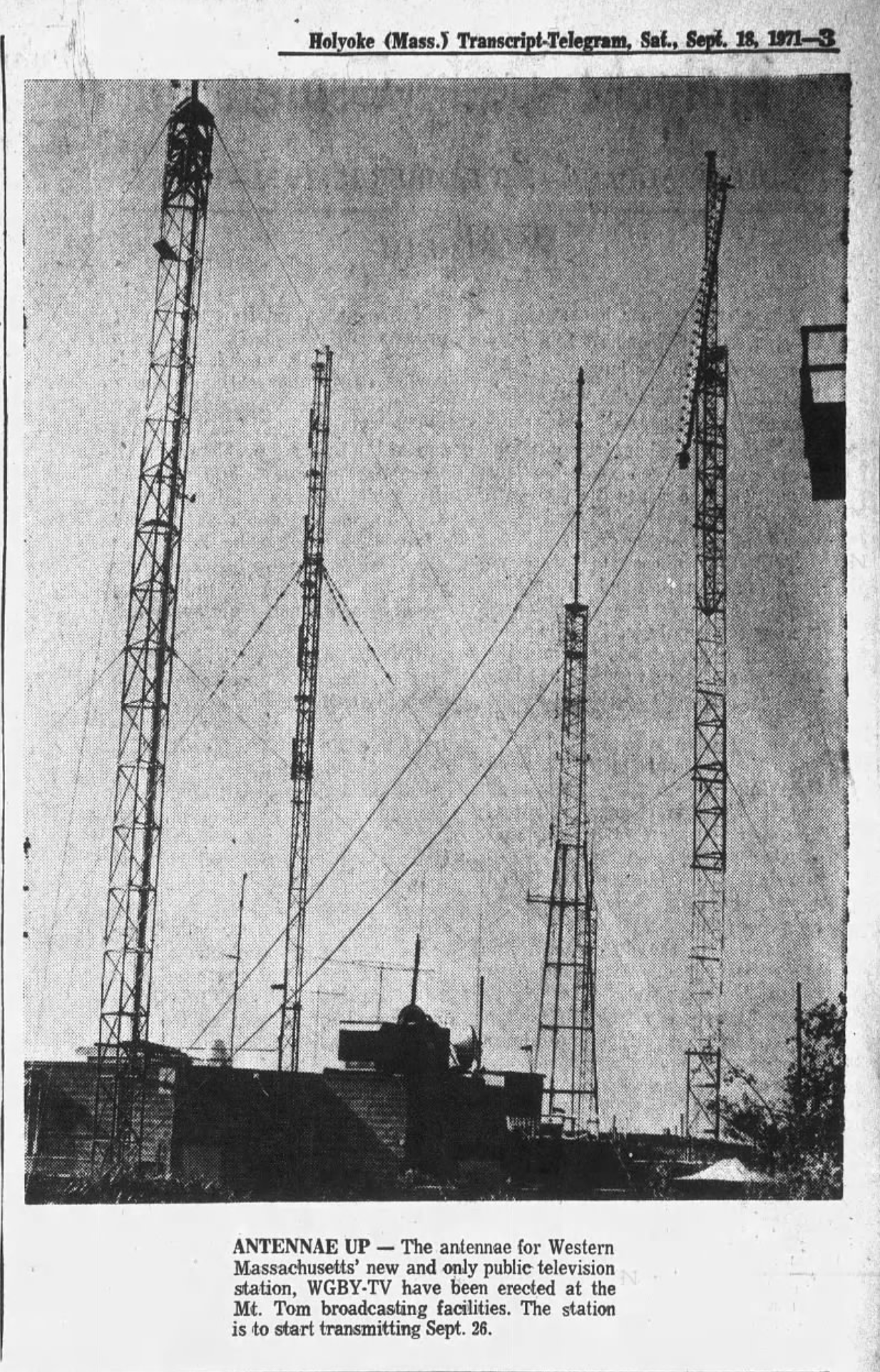
In 1945 electric wires were added to the roadway for developing a FM radio station on top of Mt Tom. This was called the Hampden-Hampshire Corporation.
Stop about 2/3rd up to the summit. There on July 6 1946 a B-17 transport plane crashed with all 25 men dying. There is a monument on the mountain for these military men. Beyond the mountain access road is the Mount Tom Ski Area. It started in December of 1960 for downhill skiing. Decades later an alpine slide, a wave pool, and a water slide were all put in. In 1998 all closed.
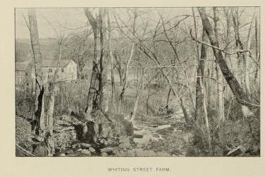
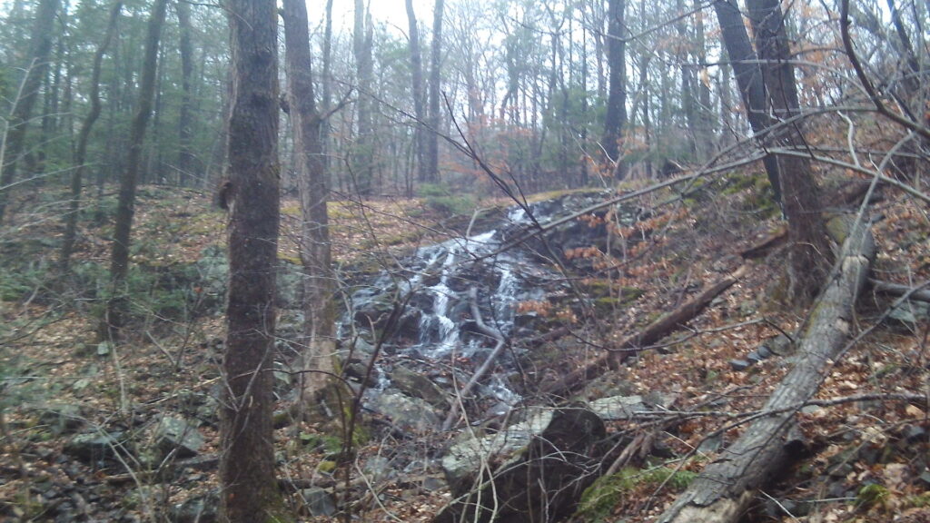
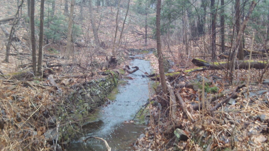
About 10 feet south of the point 8 on your map see the end of the Whiting Street Brook. Whiting Street was a farmer and investor who at his death in 1878 had left a trust fund to many communities. The reservoir and the brook are named after this person. FINDAGRAVE
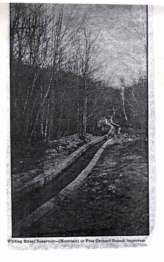
The Whiting Street Brook and its tributary the Free Orchard Brook was widened and deepened in 1888 to get the work at the reservoir into gear. The brook now has its origin at the Loomis Reservoir (aka Summit Reservoir) on the mountain. The concrete sides of the brook were added in 1911 to form a channel and the concrete bottom added in 1936 and 1937. [There are extensive trails at the Mount Tom Reservation.] Loomis Reservoir was made in 1896 to get water to the hotel on top of Mount Tom. It is 125 feet by 50 feet and 9 feet deep at its maximum.
A hotel was built at the summit of Mount Tom. To get there 120 years ago you could walk, drive a car, or take the tramway. The drive up the mountain was from a trail that is about 500 yards farther along the Whiting Street road. At that point there is a tiny trail that goes up the mountain that was once used by cars.
 |  |  |