
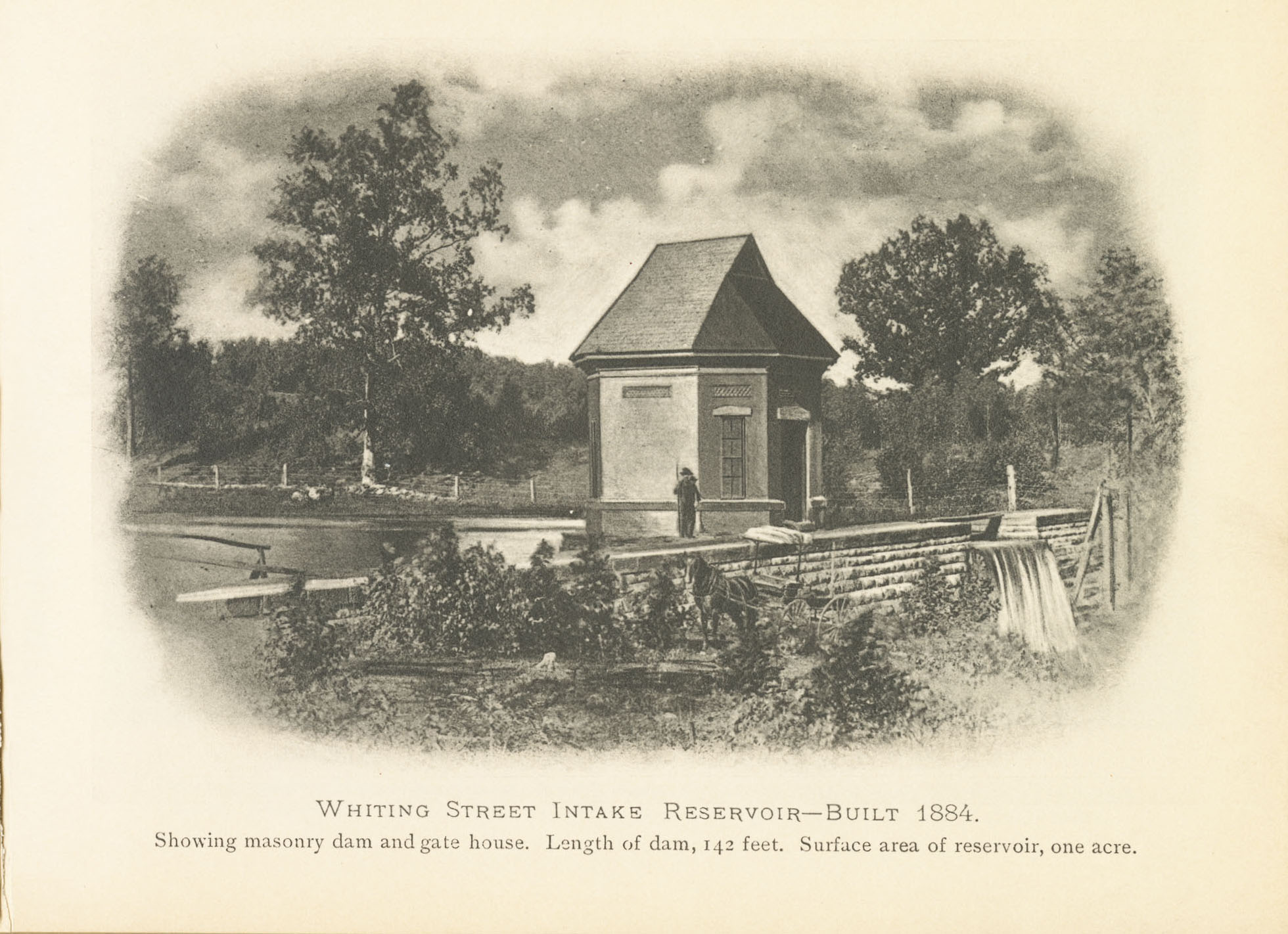
Intake Reservoir and its Dam
(Image is courtesy of the Holyoke History Room at the Holyoke Public Library. It is from a booklet called “Souvenir by the Holyoke Water Works”.)
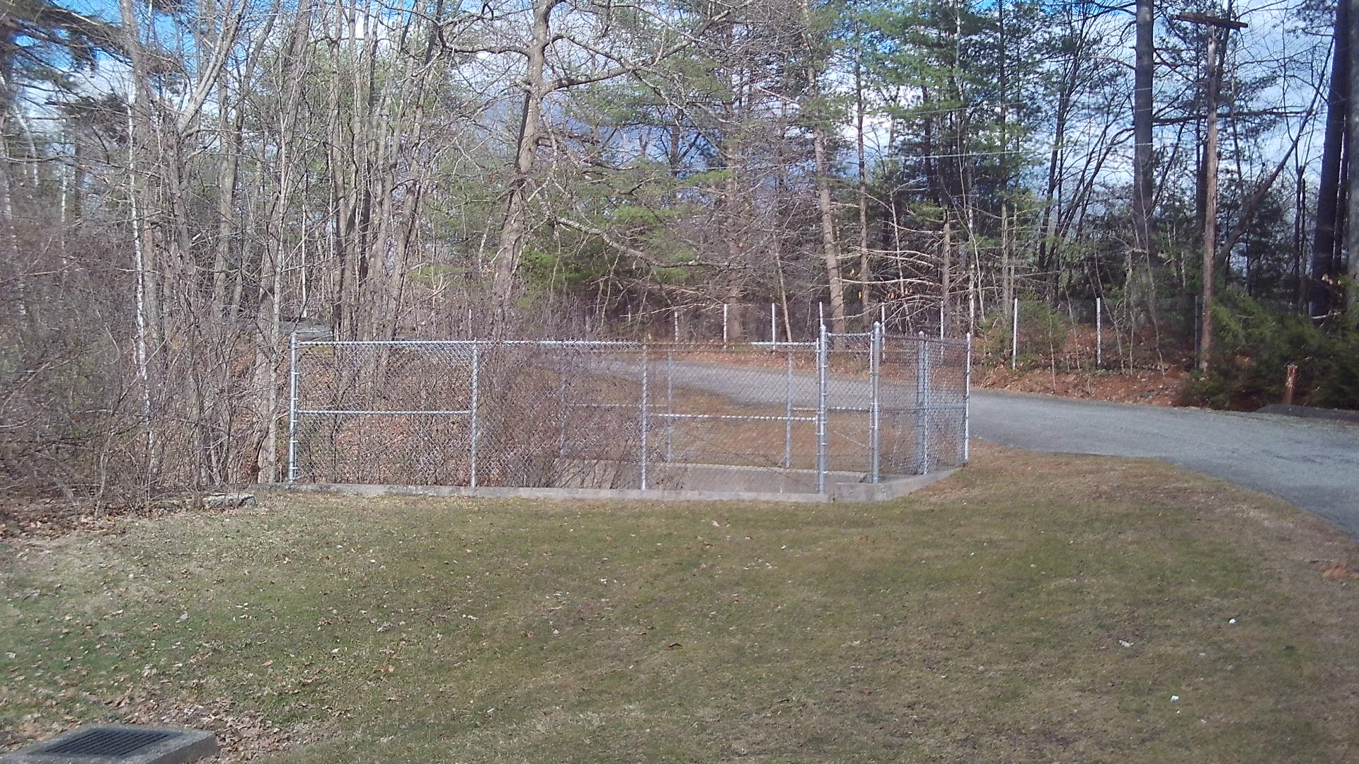
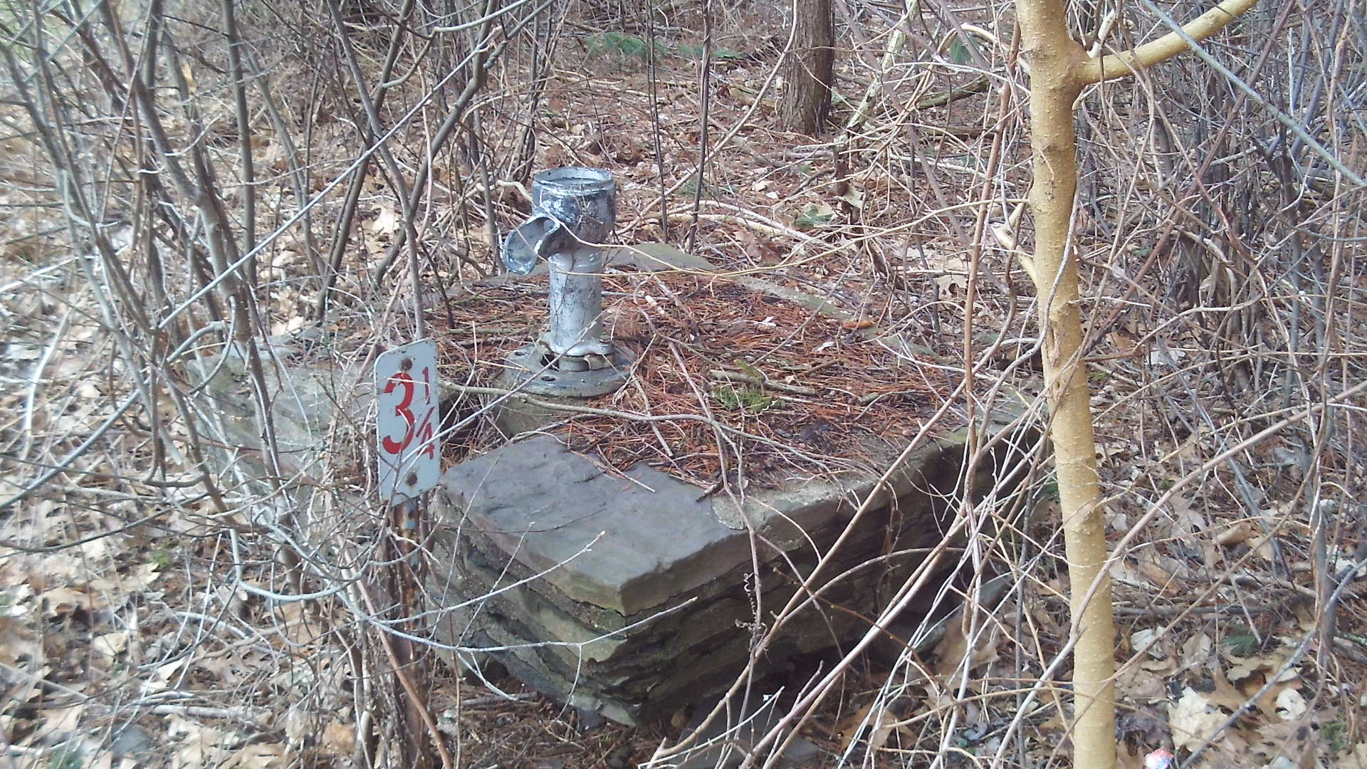
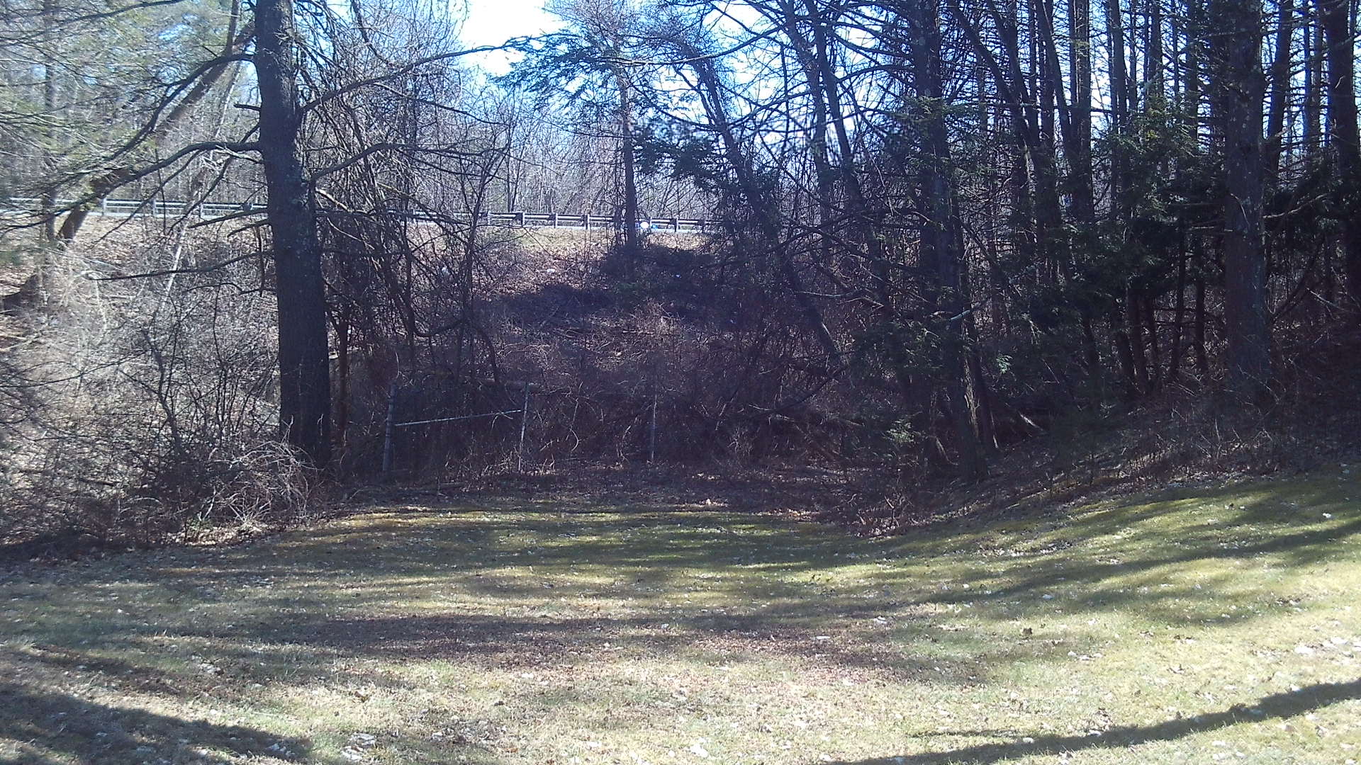
Roaring Brook passes under Aerator Road and is visible on both sides. Orient yourself by using the picture just above. This fenced area is the Intake Dam and its spillway. (LOCATION) It now has a culvert under the interstate. Walk toward this fence. Then walk to the left of the fence. The Intake Dam runs northeast to southwest below your feet. The octagonal gatehouse run along a separate foundation to the northwest.
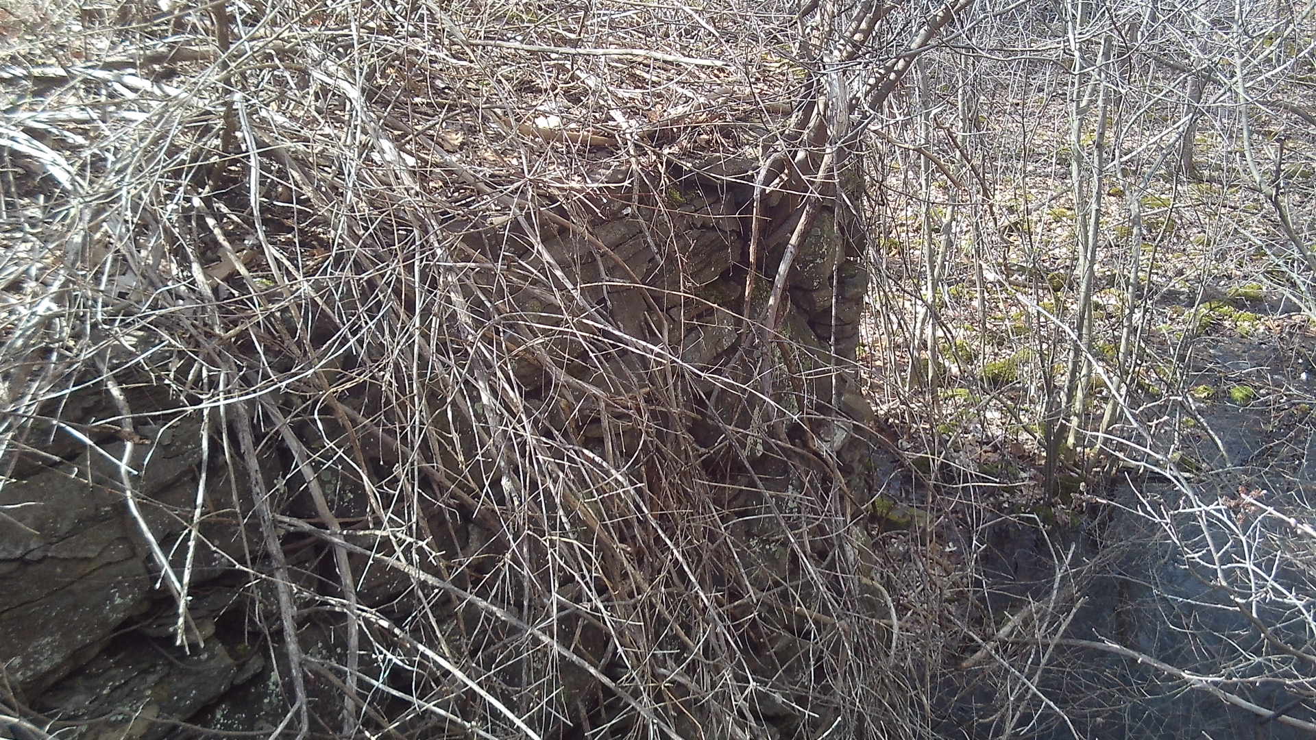
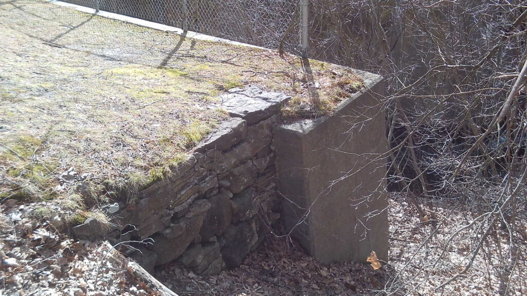
The dam of the Intake Reservoir is 141 feet 9 inches long and 15 feet high. It is 12 feet thick at its base and 7 feet thick at it top. There was a small spillway on top that was 2.5 feet down. The water in Whiting Street Reservoir is 32 feet higher than in the Intake. (Whiting Street Reservoir is at 390 feet above sea level and thus Intake is at 358.) The intake was built from 1884 to 1885 with Mt Tom sandstone. After the larger dam was built, it served as a location where sediment in calm water could settle. The larger dam water was also once a year used to hose out the sediment in the Intake.
The octagonal gatehouse (18 by 14 feet) was added to the top of the dam at some point in the late 1800s. In 1919 it was rebuilt due to a fire (in 1917). This new gatehouse was built on the berm behind the modern chlorination structure. You can find its foundation about 50 feet south of the chlorination building. This gatehouse was also a guard house and was finally removed between 1965 to 1976. In 1913 the watch person at the Intake was deputized as a Holyoke police officer. See the wonderful picture at the start of this stop.

Not only did the Intake area need to be very secure but it also needed to be very clean. Brush was cleared away at a distance of 2.5 miles from the dam. Then barbed wire fencing was used to enclose 2 acres.
The modern road comes from the north and goes to the west but the old road comes from the southeast. Look in that direction between the modern chlorination plant and the brook. You will see a grass road that is about 30 yards long. This once lead to Northampton Street.
Notice the fluoridation and chlorination station to the south built in 1965 and 1970. This is the second chlorination building along the road with the first being built in 1941 but removed in 1965. There is a municipal pipe below your feet that leads to the downtown Holyoke, the Highlands, Smith Ferry and the Flats. The grassy knoll to your south is the location of the former chlorination station. Its foundation is apparent at two locations if you look carefully. The original entrance road is at the midsection of the knoll. There was also a barn in the middle western edge of the knoll for supplies.