
Causeway Crossroads at Ashley Reservoir
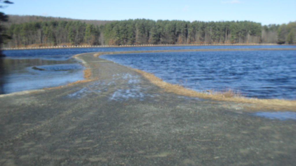
Four roads meet at this intersection of Ashley Ponds Reservoir (LOCATION). Formerly, the main road was called Rock Valley Road but now it is called Whitney Road. The causeway to the north separates Wright’s Pond into two parts and likewise with the causeway to the south which separates Ashley Pond. The northwest body of water is Wright’s Pond and the northwest body is Wright’s Cutoff. The southwest body of water is Ashley Pond and the southeast body is that of Ashley’s Cutoff. There are 11 named reservoirs in the Ashley Pond system and 3 more without names. The unnamed ones are on Charles’ Hill in your descent from the Elks Club.
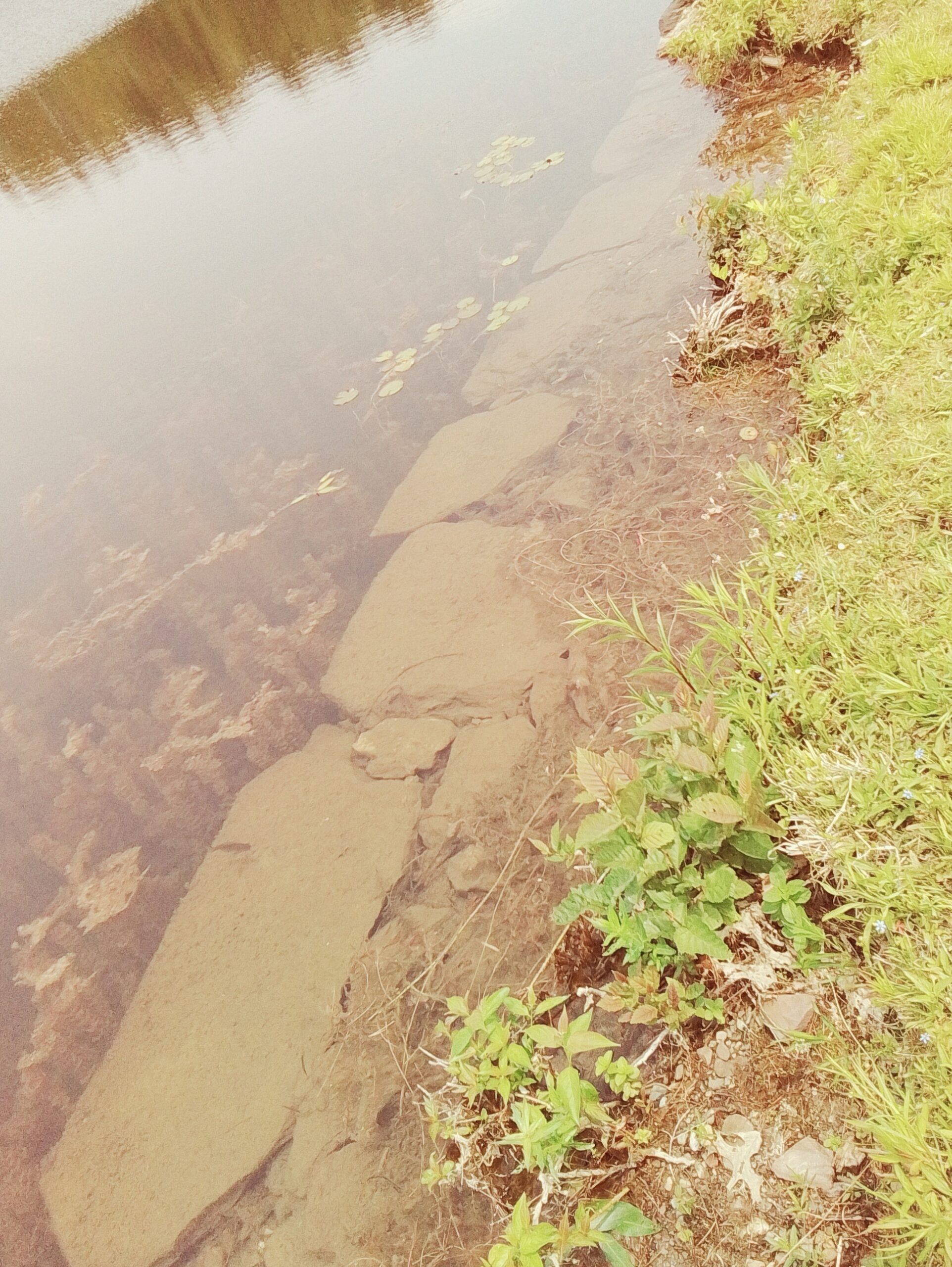
In 1875 the land around Ashley and Wright Ponds was raised. Again in 1880 the land was raised again to make dikes. In 1880 also boundary stones were placed around both ponds. In 1896 the stone and wood wall that were around the reservoir system were taken down perhaps since the next year the causeway system would be put into place. At the crossroads that you are at now however cement walls were added. You can still see these below the surface of the water on the road to the east. In 1908 the road here was raised 18 inches and in later years the road was raised more. Now as you can see the concrete wall that was once at waist height is now very low.