Lower Riverside Park in South Hadley

Lower Riverside Park in South Hadley

(Click link to above for information.) In 1805 the Bardwell Canal and Dam were built in this place. (LOCATION) It fed water into the small mills that lined the banks. These were small sawmills and gristmills. There were about 11 such mills at one time.

numbertypeproductname
1saw millcut logsPhilip Smith
2grist mill
3plaster millgrounded rocksZenas Church
4oil millcotton and flaxseedObed Carpenter
5shingle millsliced logsPhilip Smith
6wool millcarding wool and coloring clothAsa Nash
7
8
9
10Howard and Lathrop Paper Mill
11Ames Paper Mill

The Howard and Lathrop Paper Mill started here in 1824 and lasted until a fire in 1846. From 1824 to 1846 the Ames Paper Mill was here. The Ames made the first device that mass produced paper. Ames was northeast of the Howard and Lathrop by a bit. In 1848 the Glasgow Gingham Mill was built here. It lasted until 1896 when it closed due to lack of profit. The Hadley Mill of Holyoke purchased all in 1903 and lasted until 1930. Then Holyoke Water Power bought it and razed it in 1935.

South Hadley Canal

South Hadley Canal

Walk north along Canal Street a bit more. There is a concrete block that had a metallic map of the canal system on its top. Follow the trail north into the woods. (LOCATION) The canal is at the end of this path. Finally you can see remnants of the South Hadley Canal. You can see Cove Island out in the water.

Walk farther down the path and you will find another information stop. This one explains the Incline Plane and the lock system. The canal is about half way through its 2.5 miles length. You can keep walking along the tow path for a half mile or so. There is even a path on the other side that you can walk on.

Canal boat were flat bottomed boats that held the cargo ships on their tops. Men or horses would pull the boats up or down this navigational canal. Pilots on calm days would navigate the canal/ The captain of a boat was not allowed to navigate the canal themselves but rather were required to have the canal pilot do it. From the end of the central part of the canal it is another mile to the northern start of the South Hadley Canal. To get there drive north on Canal Street and take a right onto West Summit Drive. Then take a left onto North Main Street. Take the first left onto River Road. Drive for about a mile until you reach the Locktender’s House at 315 River Road.

This for use by the locktender of the canal. Here were two more locks that raised the boats to the height of the canal water.

South Hadley Canal tour

Hadley Falls Bicentennial Park

Hadley Falls Bicentennial Park

When you are on the deck at the Hadley Falls Park (LOCATION), look sharp to your right along the riverbank. The watercourse that is along the river at this point is the cove portion of Cove Island. It is not the South Hadley Canal yet. We will go down to the canal. Along the way you will pass a memorial to John Kuzma. He died in Vietnam in 1966 and is buried in the South Hadley Falls Cemetery.

Gatehouse Park in South Hadley

Gatehouse Park in South Hadley

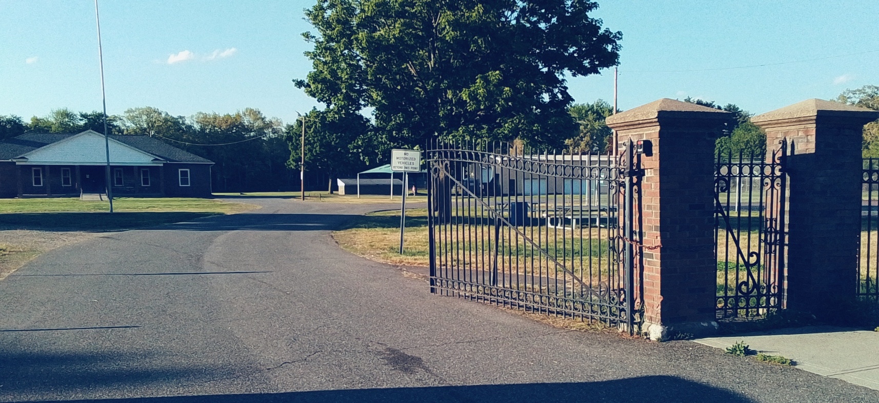
Gatehouse Park (LOCATION) is only opened for special occasions. Notice that the two gatehouses are really old gatehouses with additions added to their tops. You can tell this by their brickwork. The westernmost of the two gatehouses was made in 1848. It is now on top of the apron for the 1900 masonry dam. The easternmost gatehouse was put in place in 1900 but it is not on a plan of the 1900 masonry dam so it perhaps was an afterthought. The South Hadley Navigation Canal and the Bardwell Industrial Canal were combined in 1848 into one canal that served as both a power canal and a navigation canal. The 1848 wooden dam raised the river water enough so that the middle and northern portions of the South Hadley Navigational Canal were not needed. This dual use lasted until 1862 when the navigation ended. From then until 1977 the southern half of the canal was a power canal only.

VIDEO and Panoramic Video

Maplewood Hotel

Maplewood Hotel

The Maplewood Hotel (LOCATION) was constructed for Frank Beebe of the Beebe Wool Mill. He was very much interested in the heritage of Holyoke and in helping the poor of Holyoke. He himself lived on one of the floors. Part of the establishment was the Maplewood Dining Rooms at 16 Essex Street. Next door up was the Maplewood Baths at 18 Essex Street. They used there a method called the Battle Creek Sanitarium System.

Sanborn 1949 map shows the Home Improvement Centre is there along with the Community Welfare Offices and Apartments

Friedrich Block

Friedrich Block

The Friedrich Block (LOCATION) was built by the Friedrich Architectural Supply Company. It is located directly behind the Friedrich Block along Race Street. The Friedrich Block has had many tenants over the century that it has been there but none is more famous that the Weinstein Furniture Company.

E H Friedrich Sheet Metal Works Factory is along Sargeant Street.

Friedrich Sheet Metal Works Factory additions are along Race.

This image has an empty alt attribute; its file name is sheets_0002-1024x711.jpg