
Ware River – flows in Barre – Hardwick – Hubbardston – Princeton – Ware – Westminster – Warren – Palmer


Ware River – flows in Barre – Hardwick – Hubbardston – Princeton – Ware – Westminster – Warren – Palmer

Ware Library


Nenameseck Park is from 1844 and is at the corner of Main and South Streets.


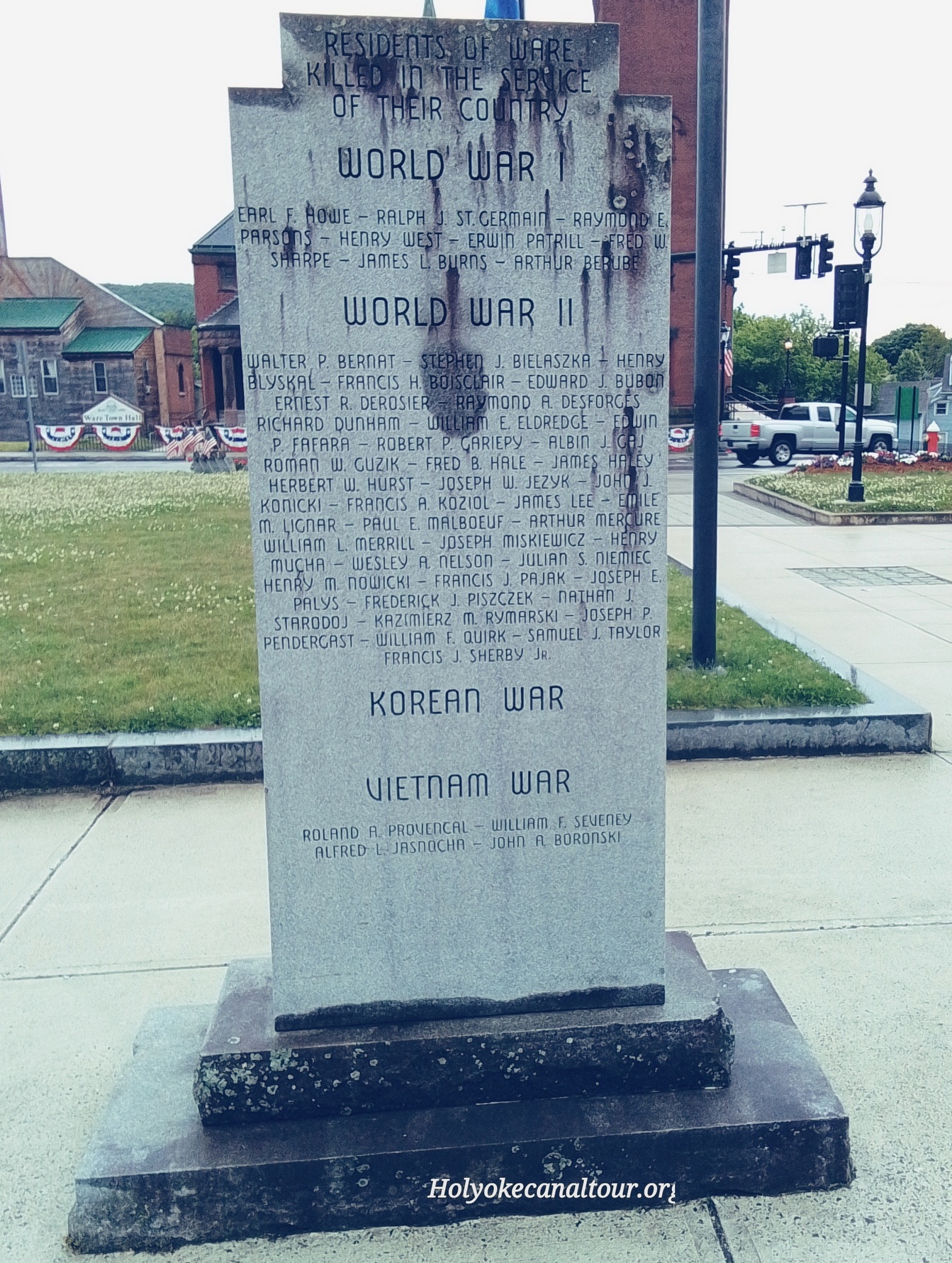
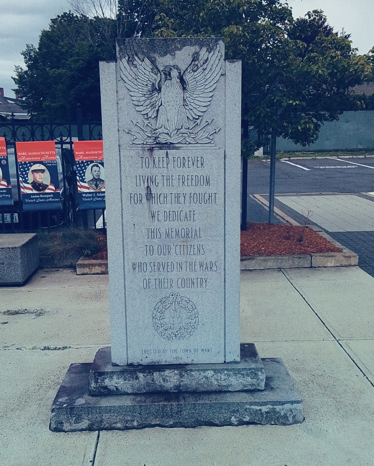
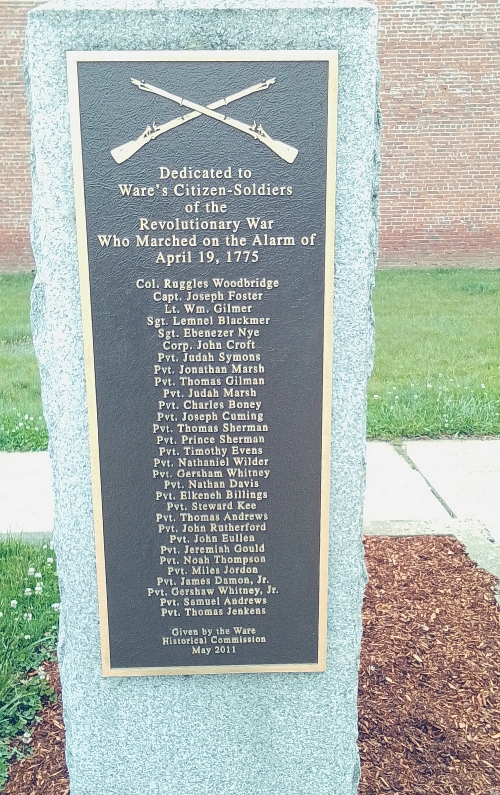
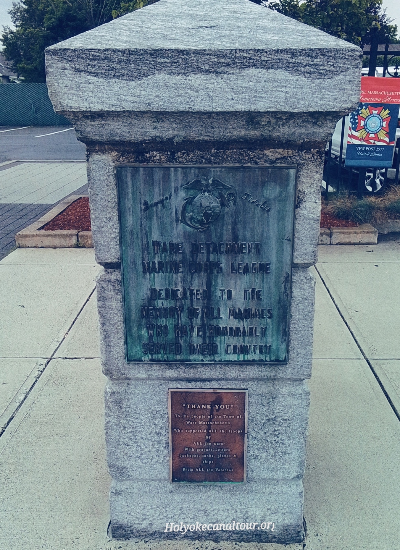
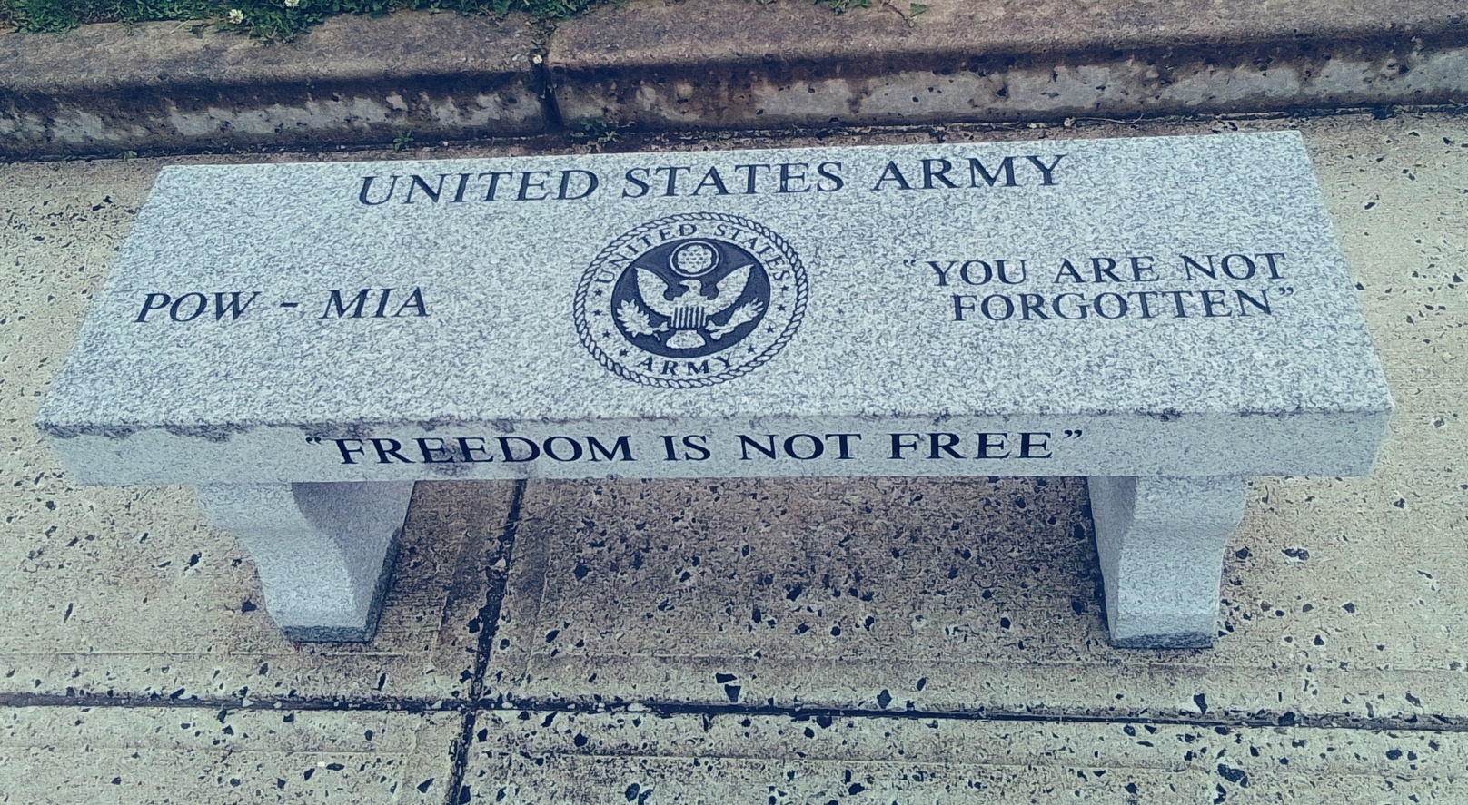
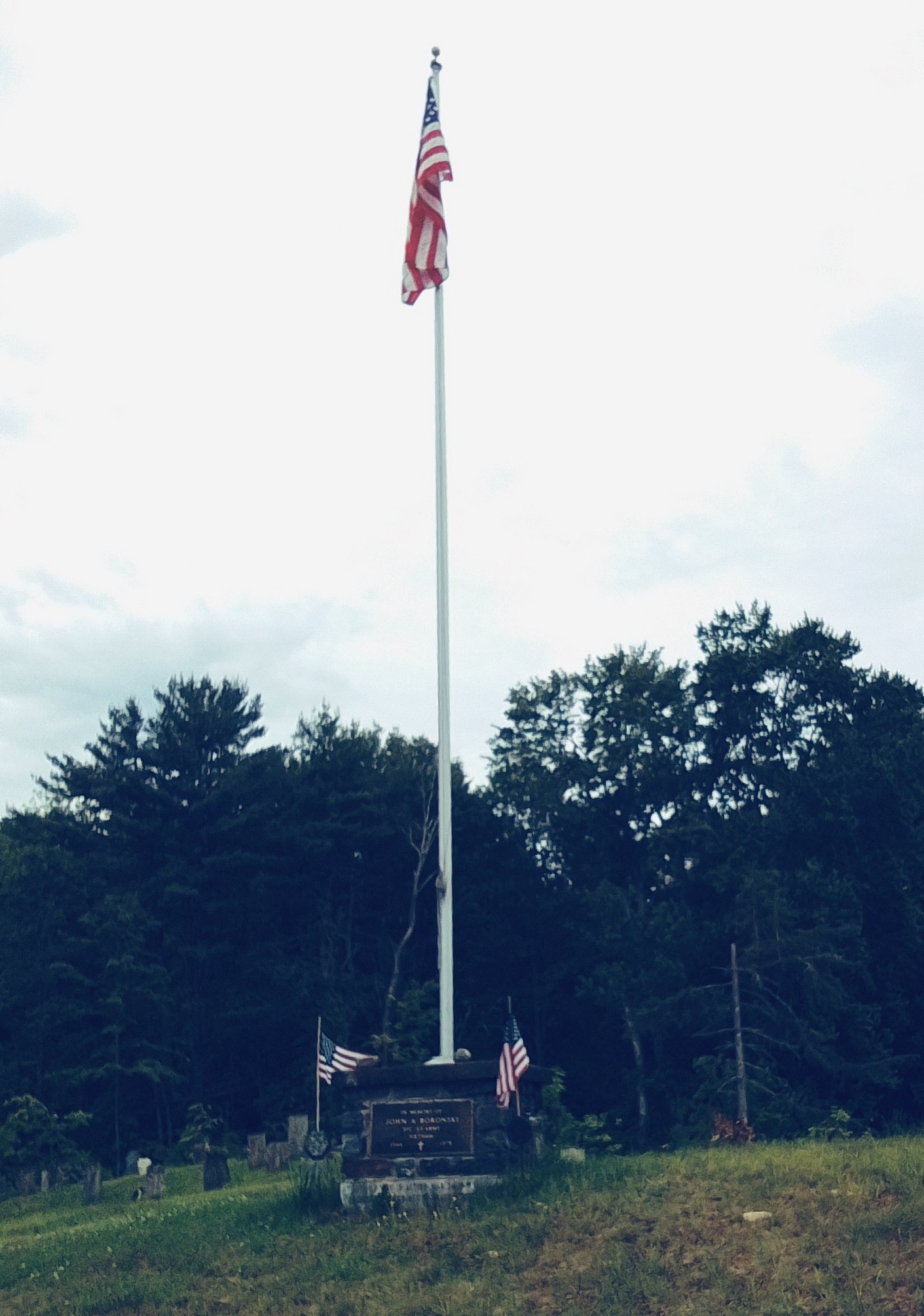
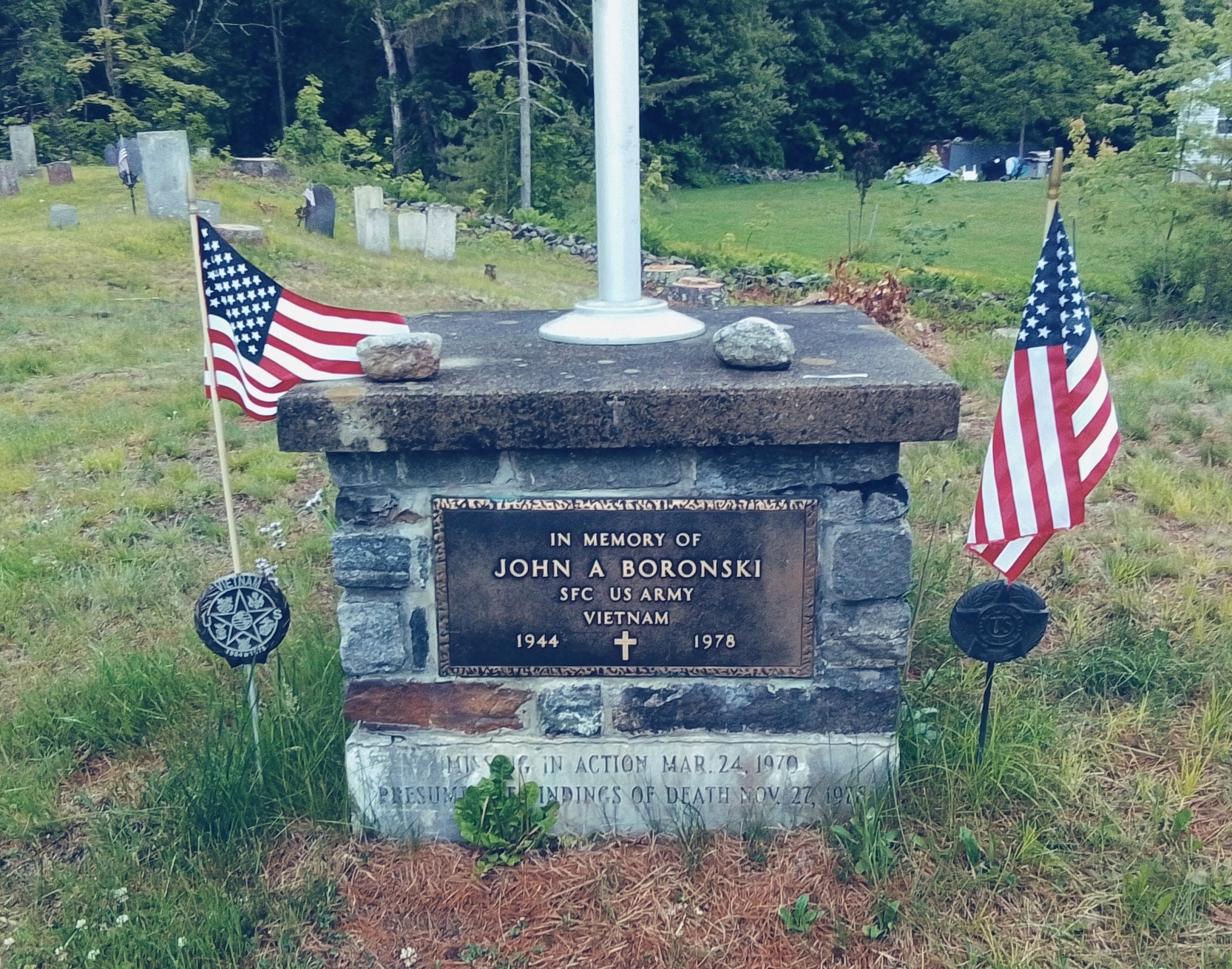
Veterans Park in Ware

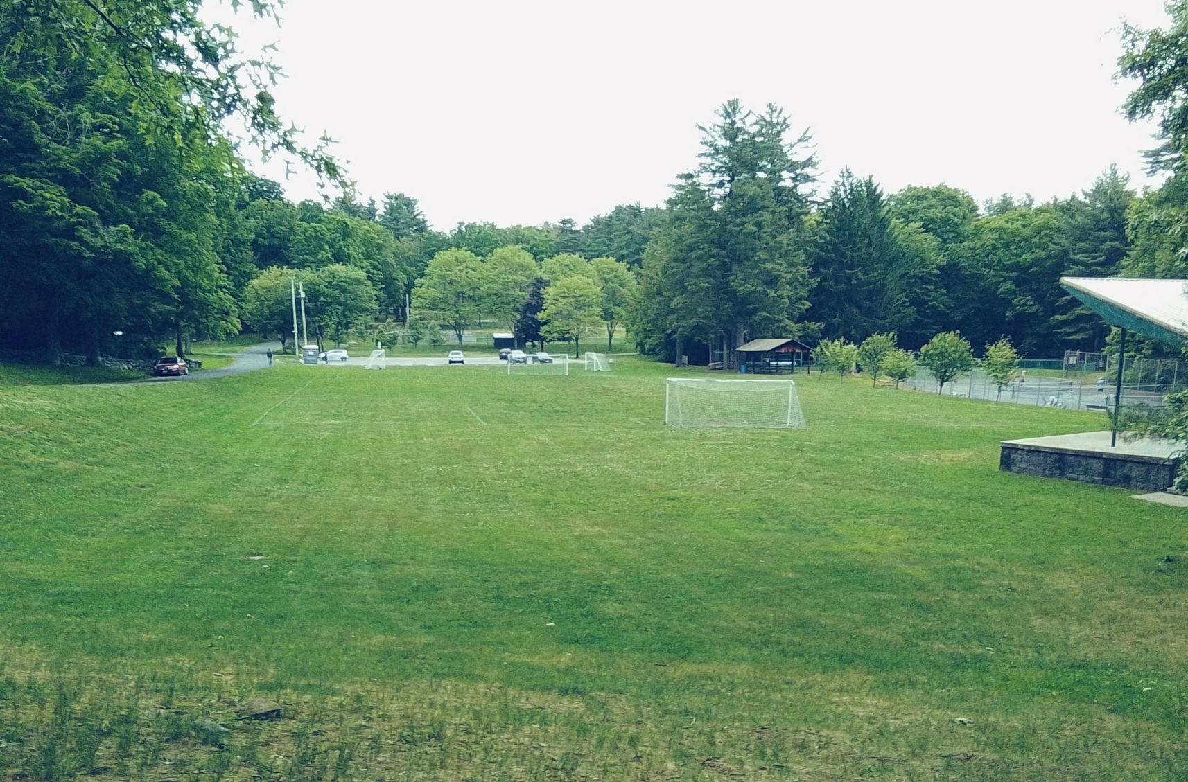
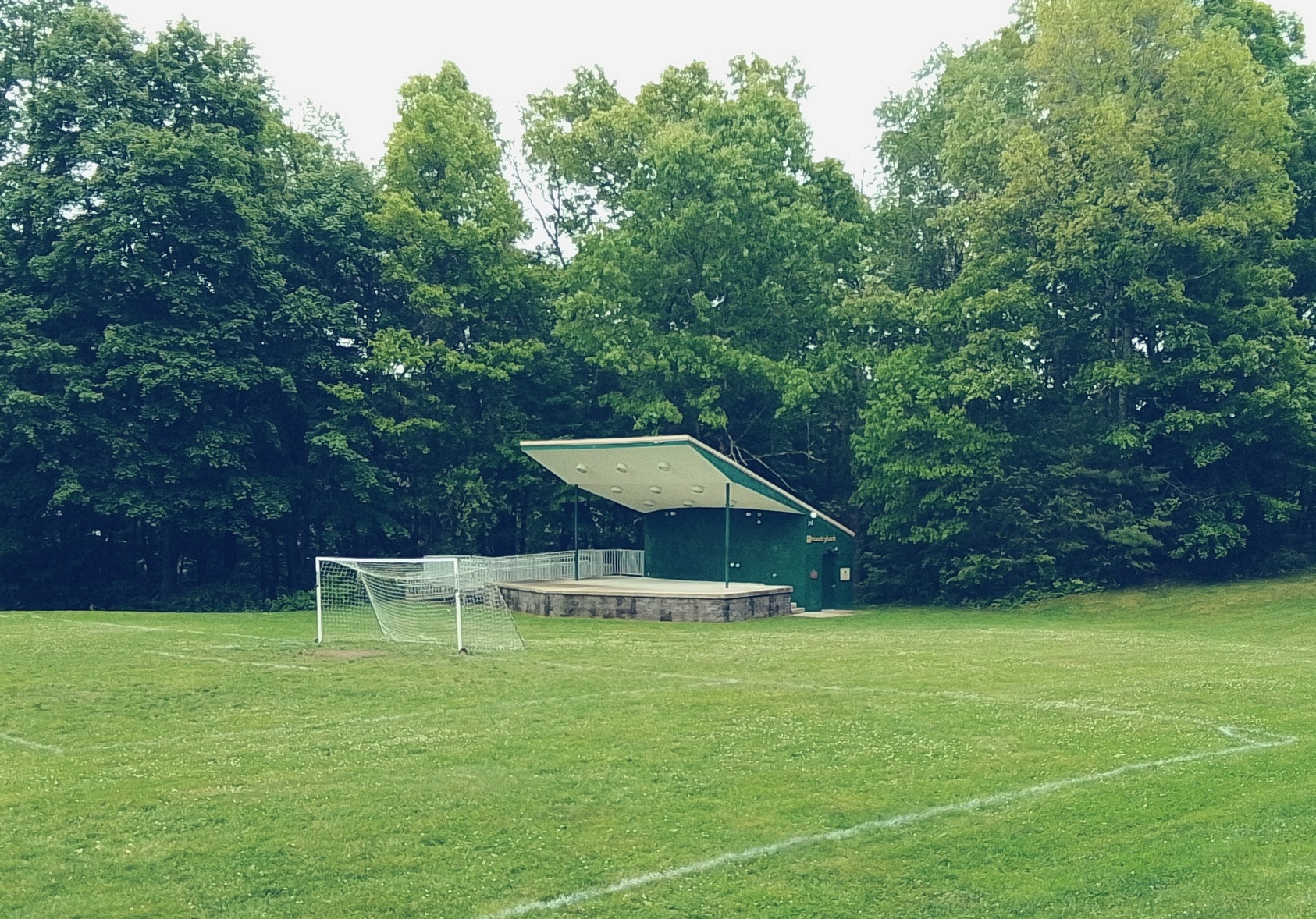
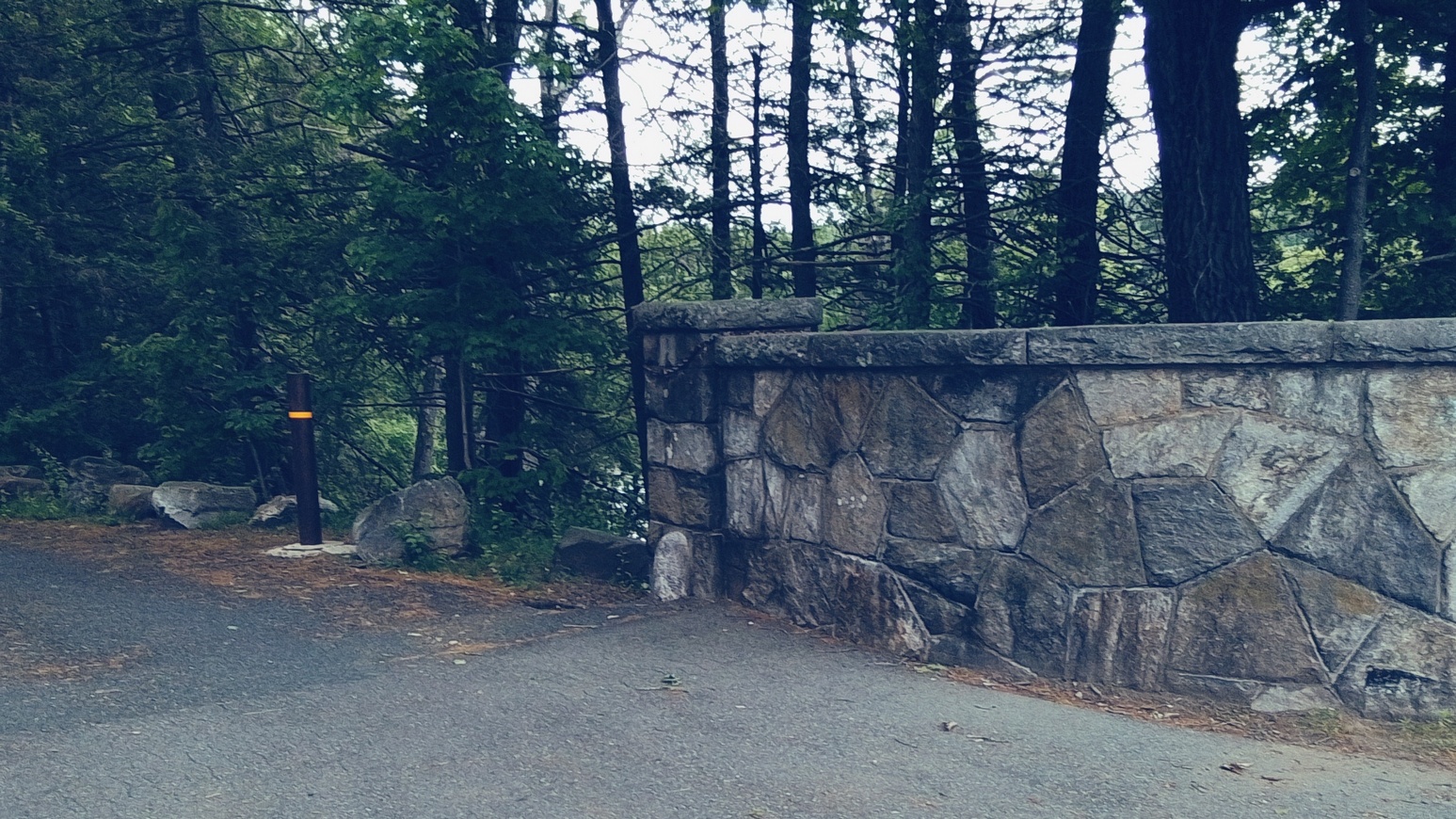
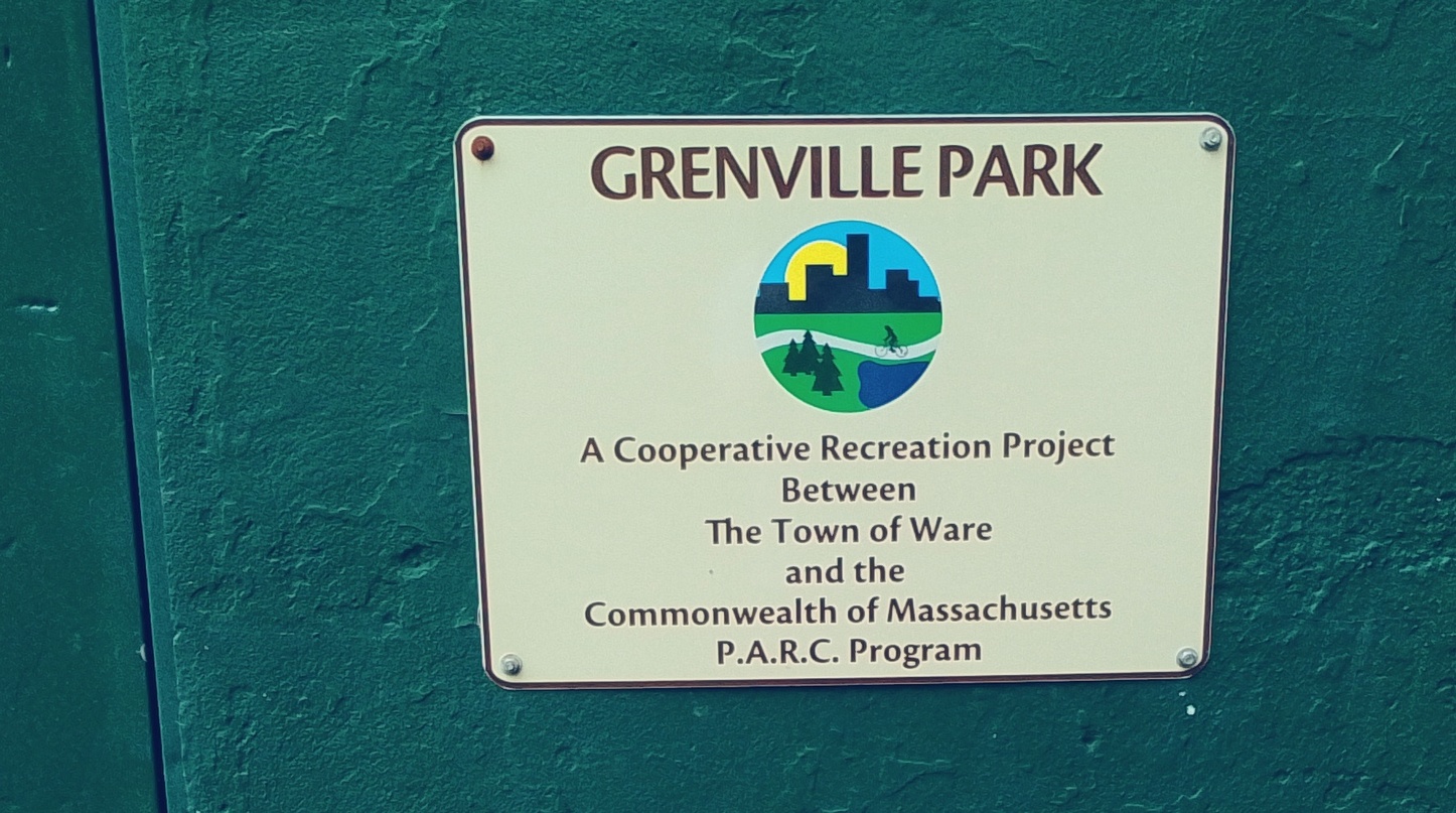
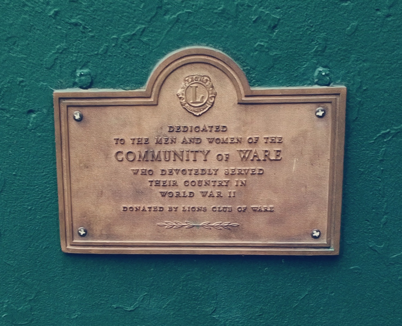
Grenville Park – made in 1907 from the designs of Arthur Shurcliff from the benefit gift of the parents of Grenville Gilbert
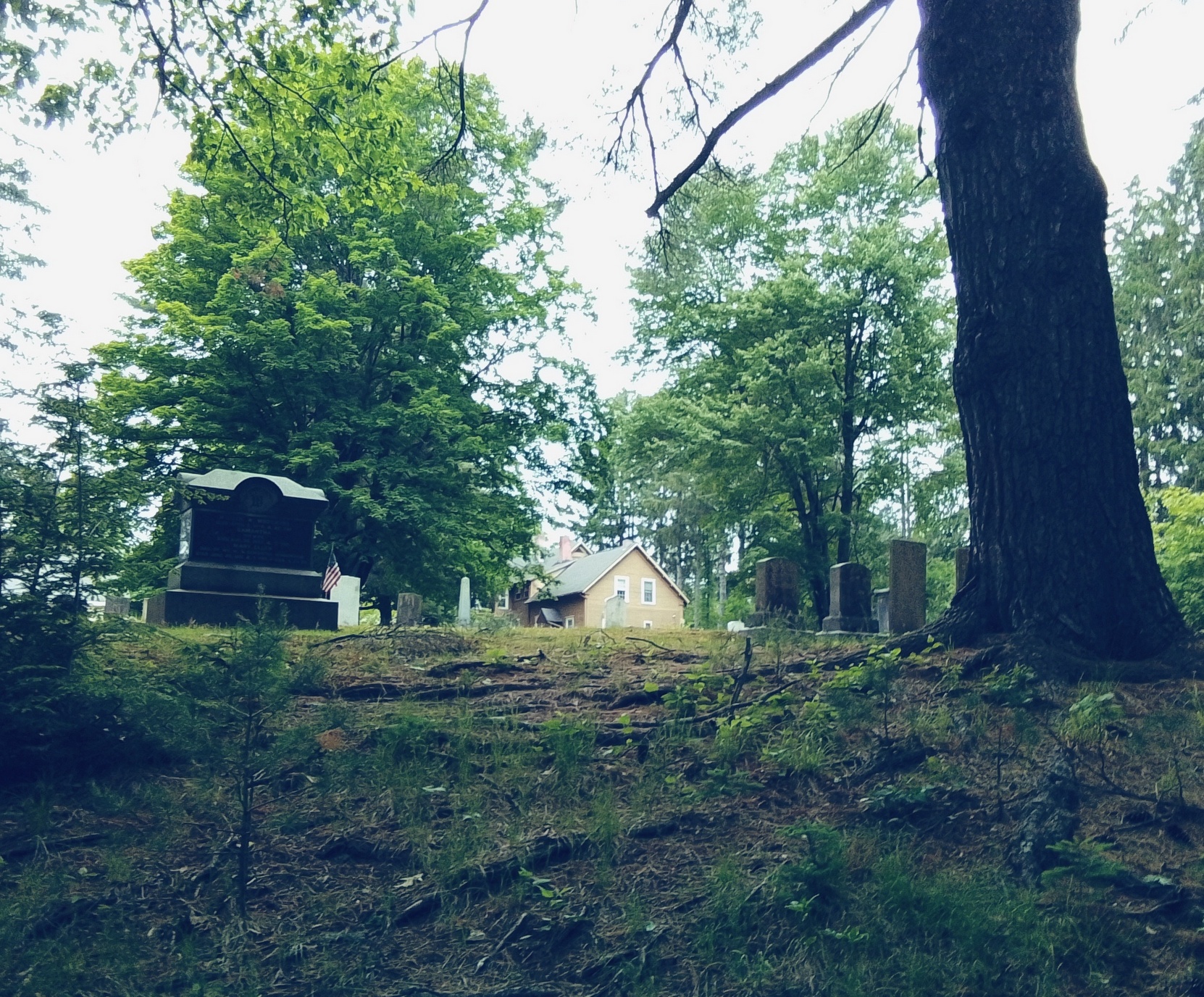
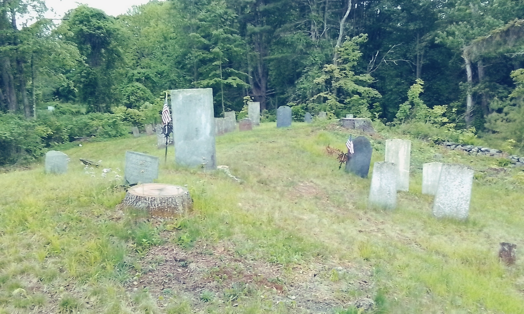
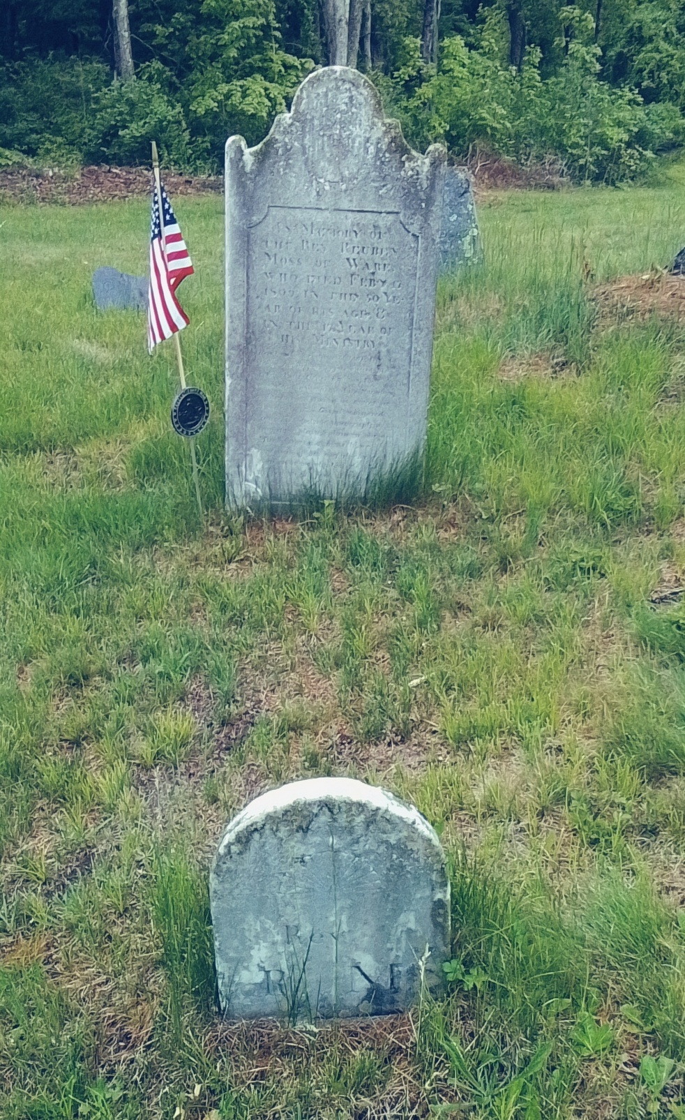
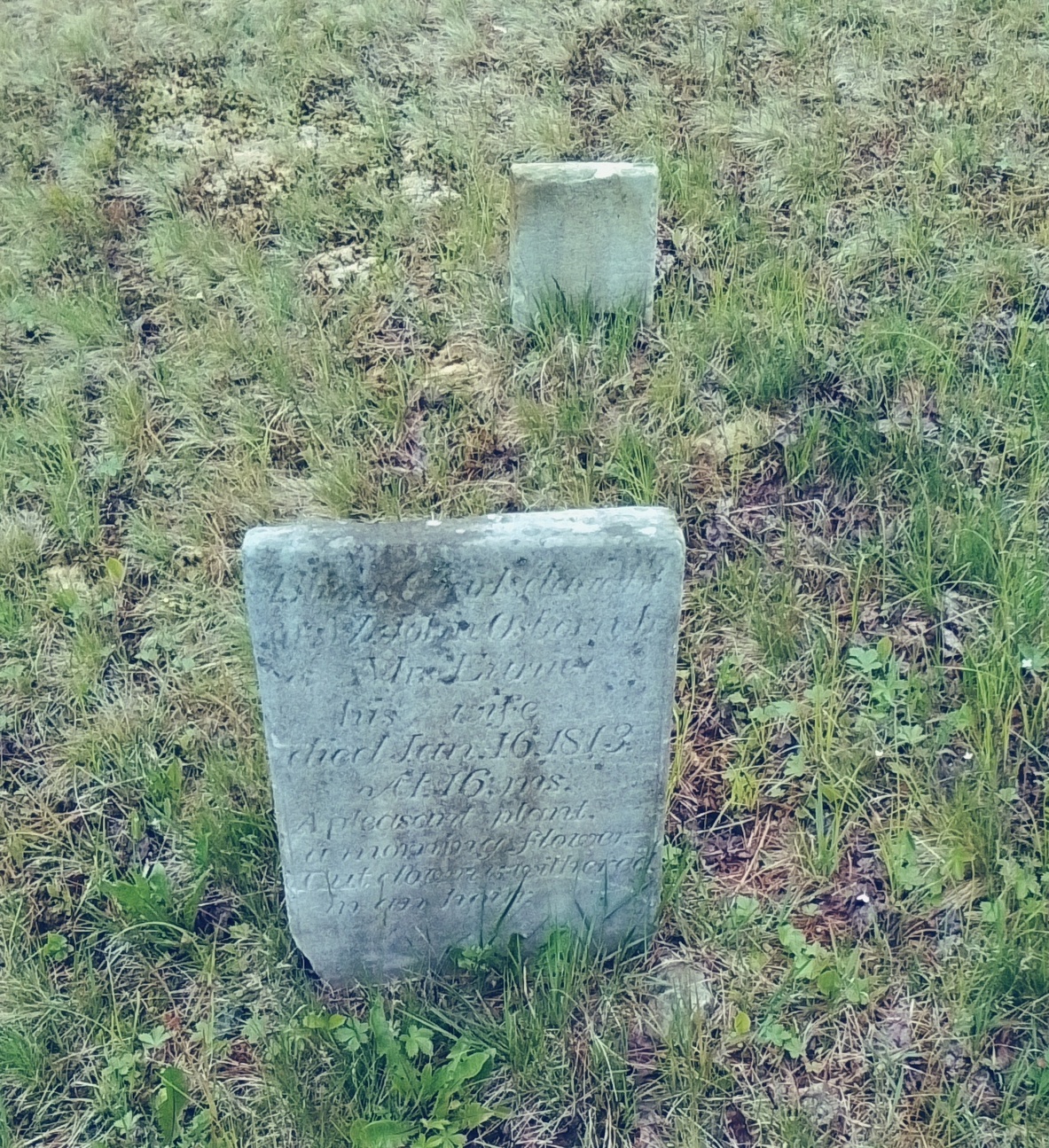
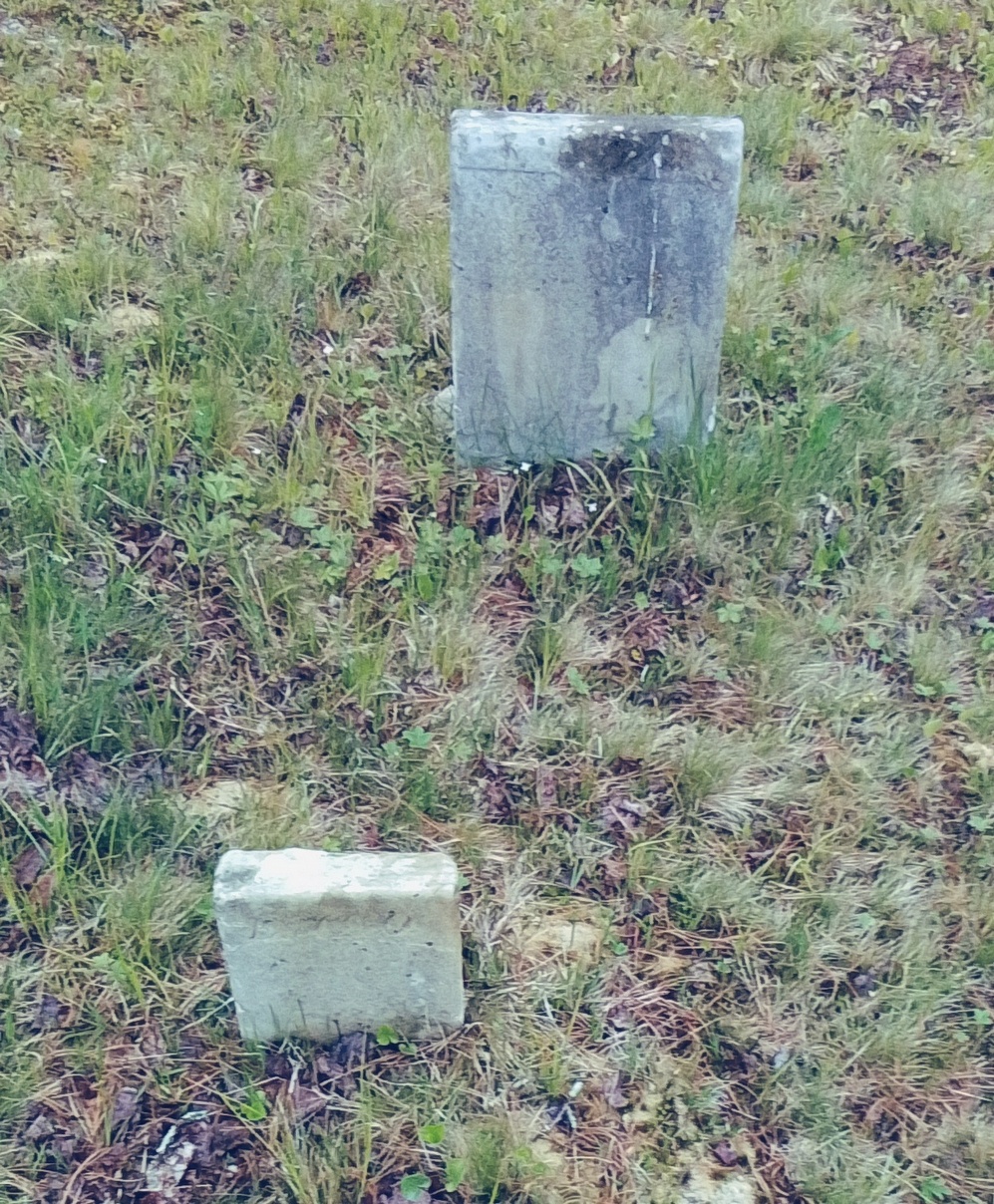
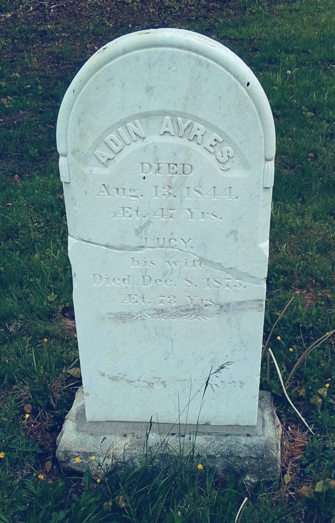
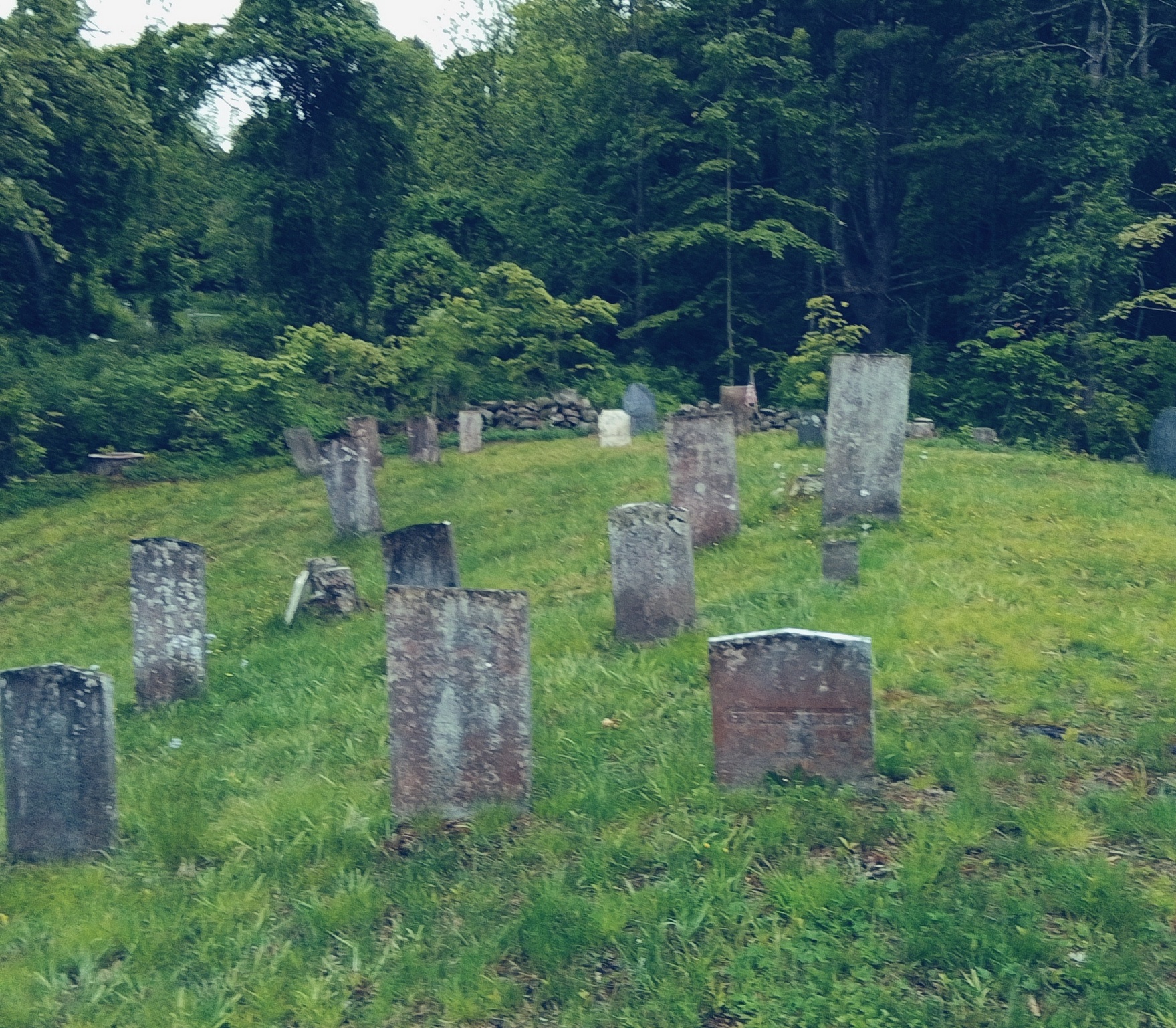
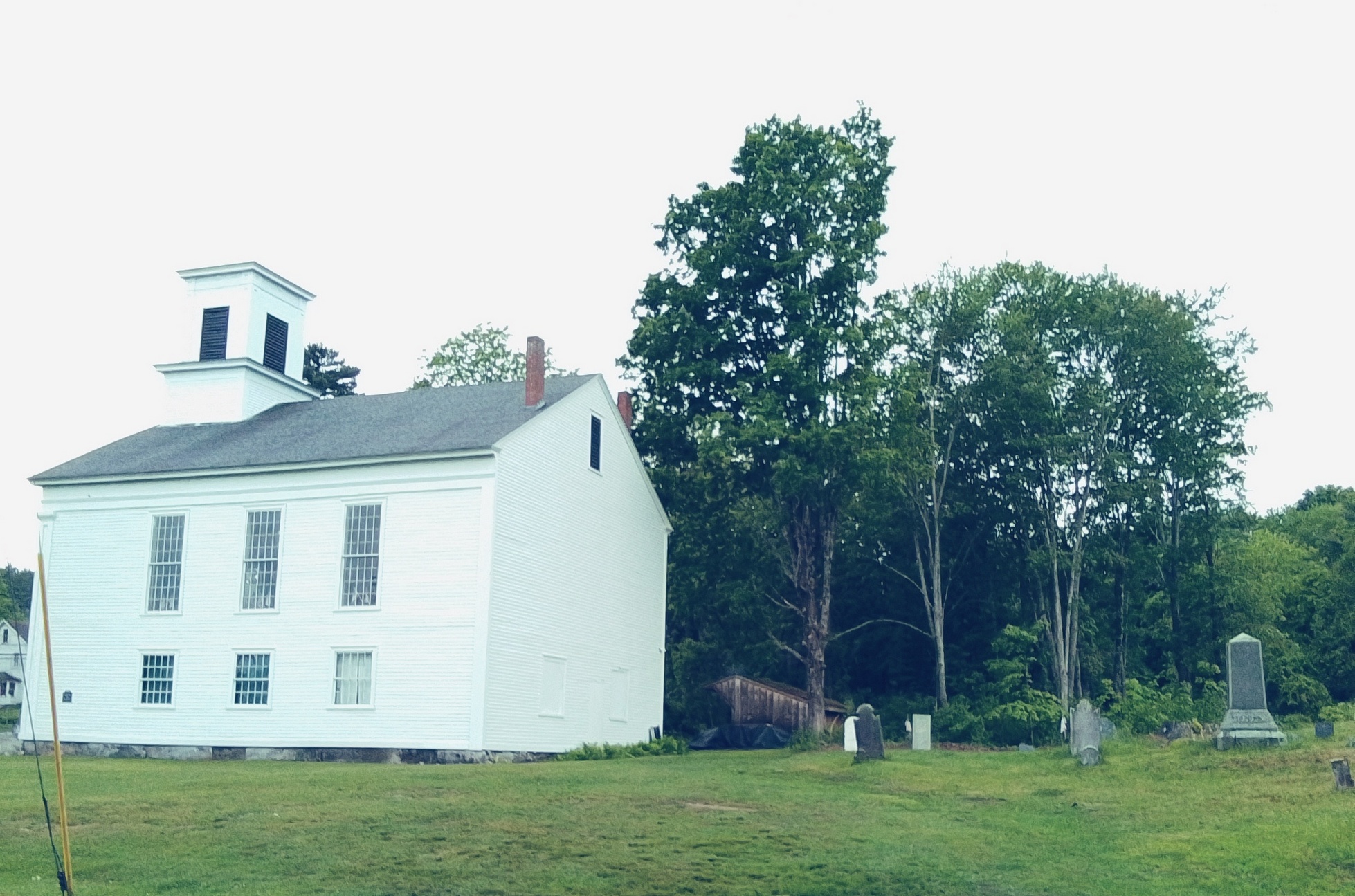
Ware Center Cemetery
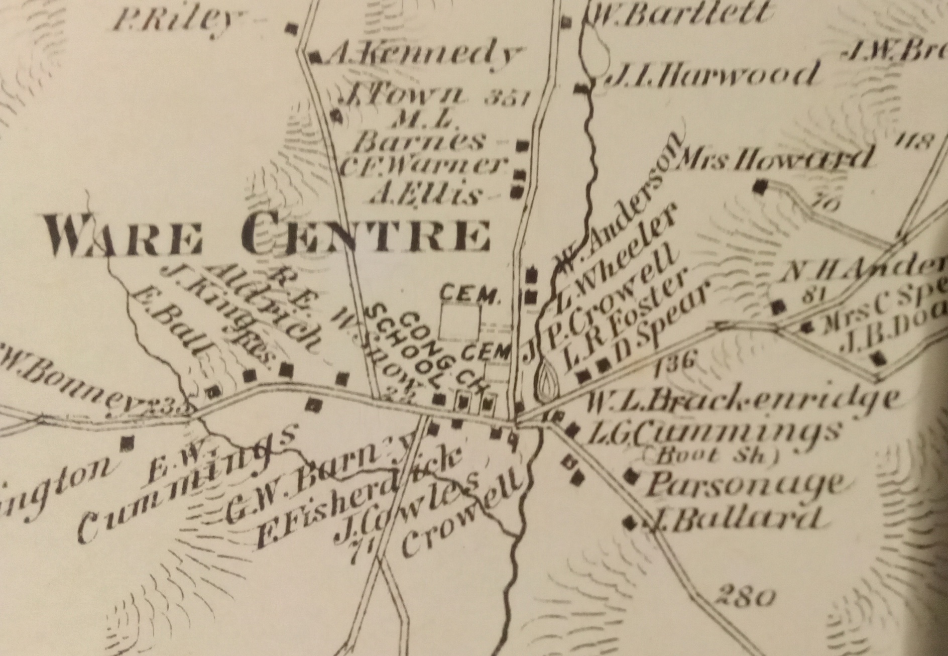
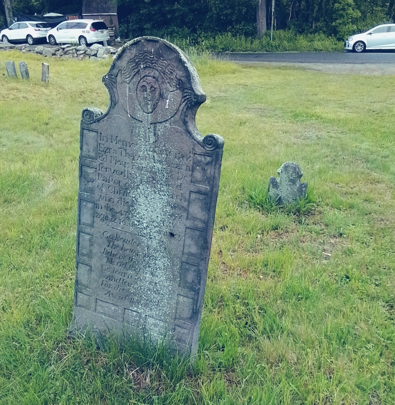
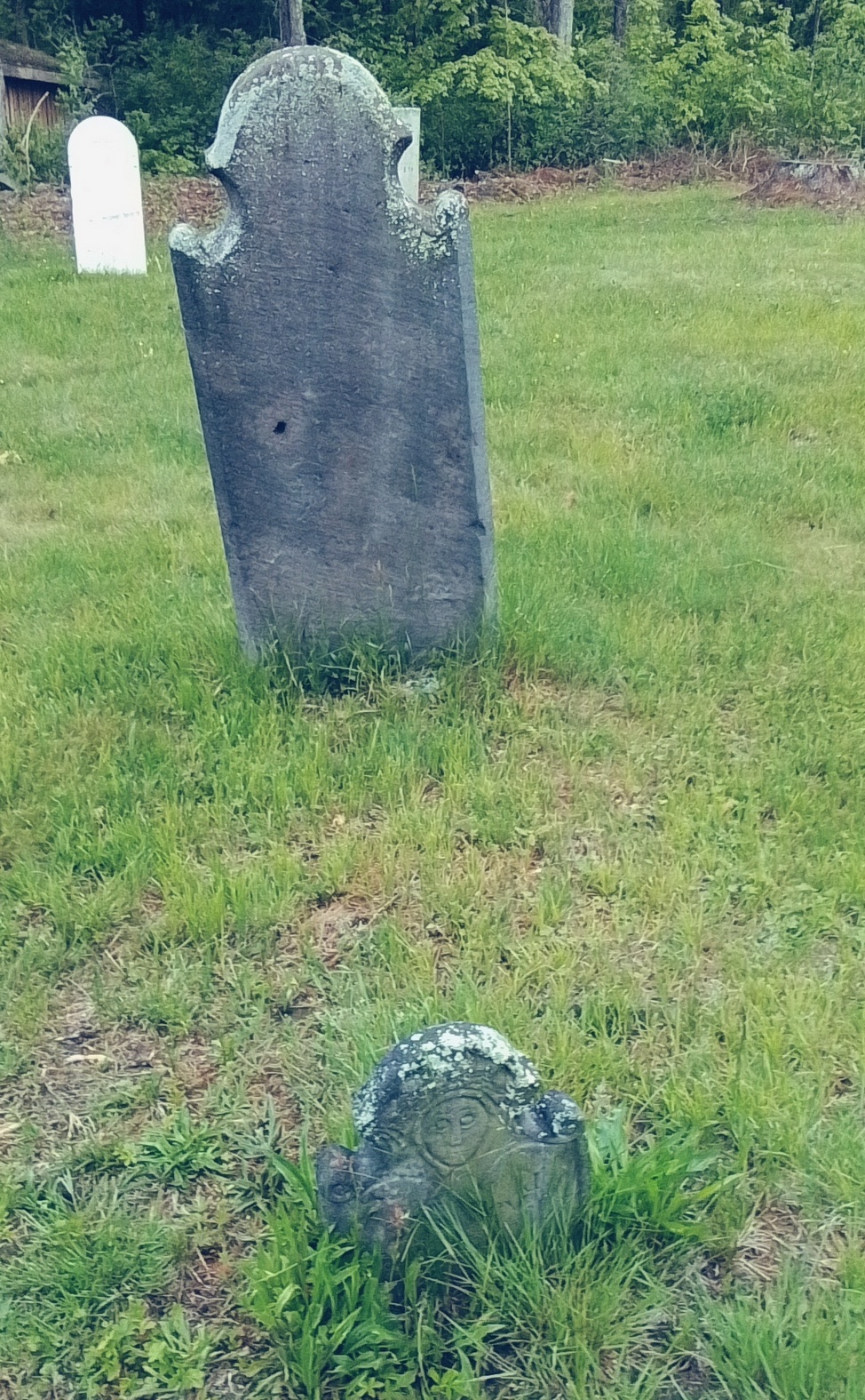
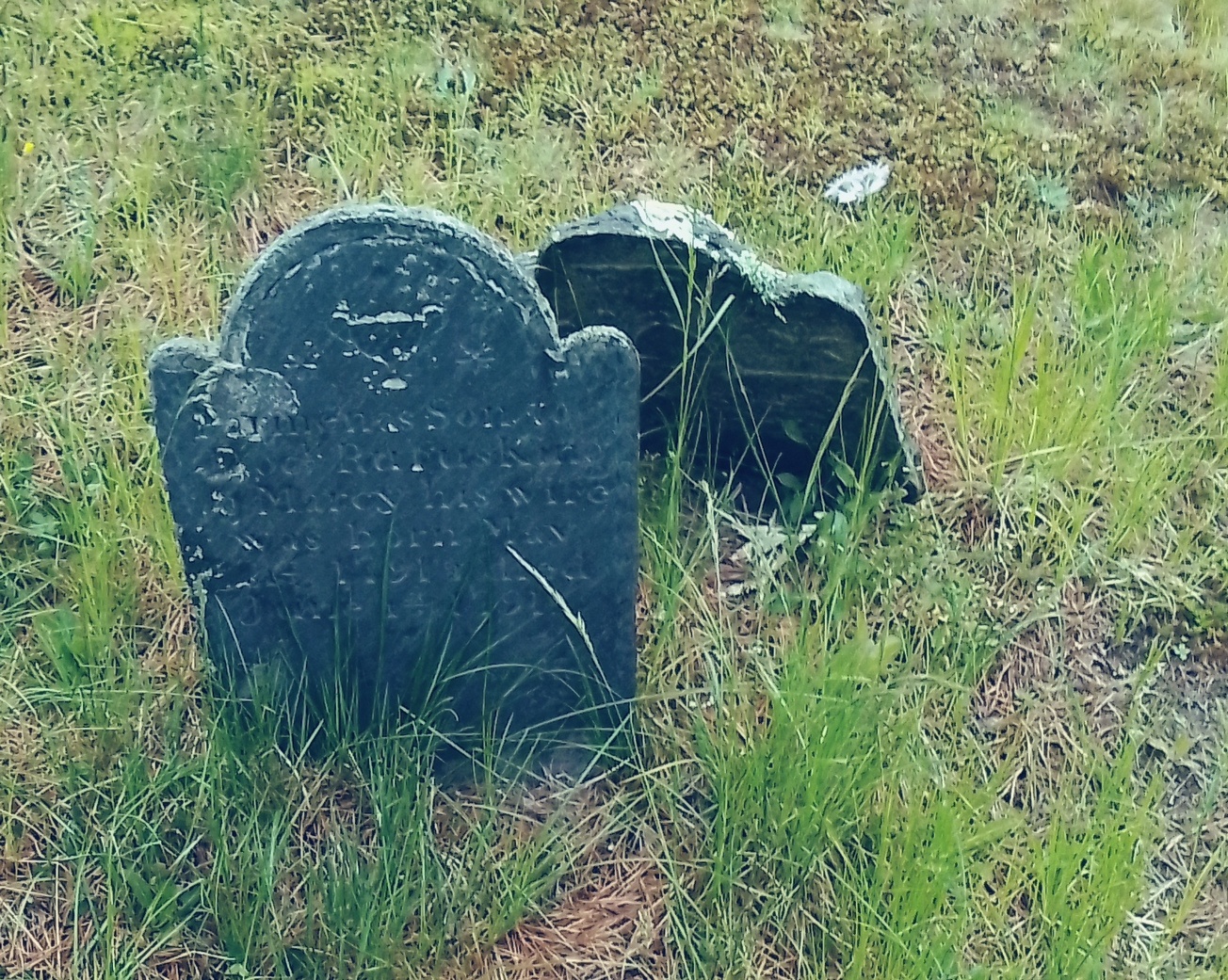
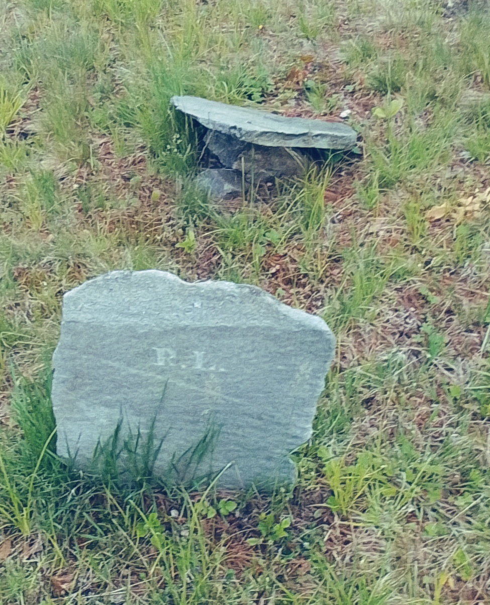
West Cemetery in Ware is on Greenwich Plains Road 1795 for individuals and Ware Center Cemetery – Greenwich Plains Road 1775 for ministers – near the Ware Center Meetinghouse – Ezra Thayer is with correct orientation of gravestones – FINDAGRAVE
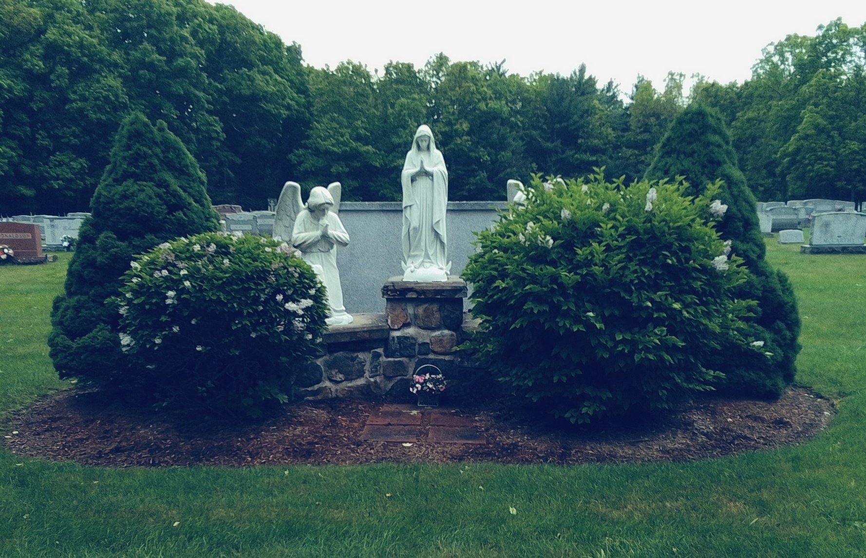
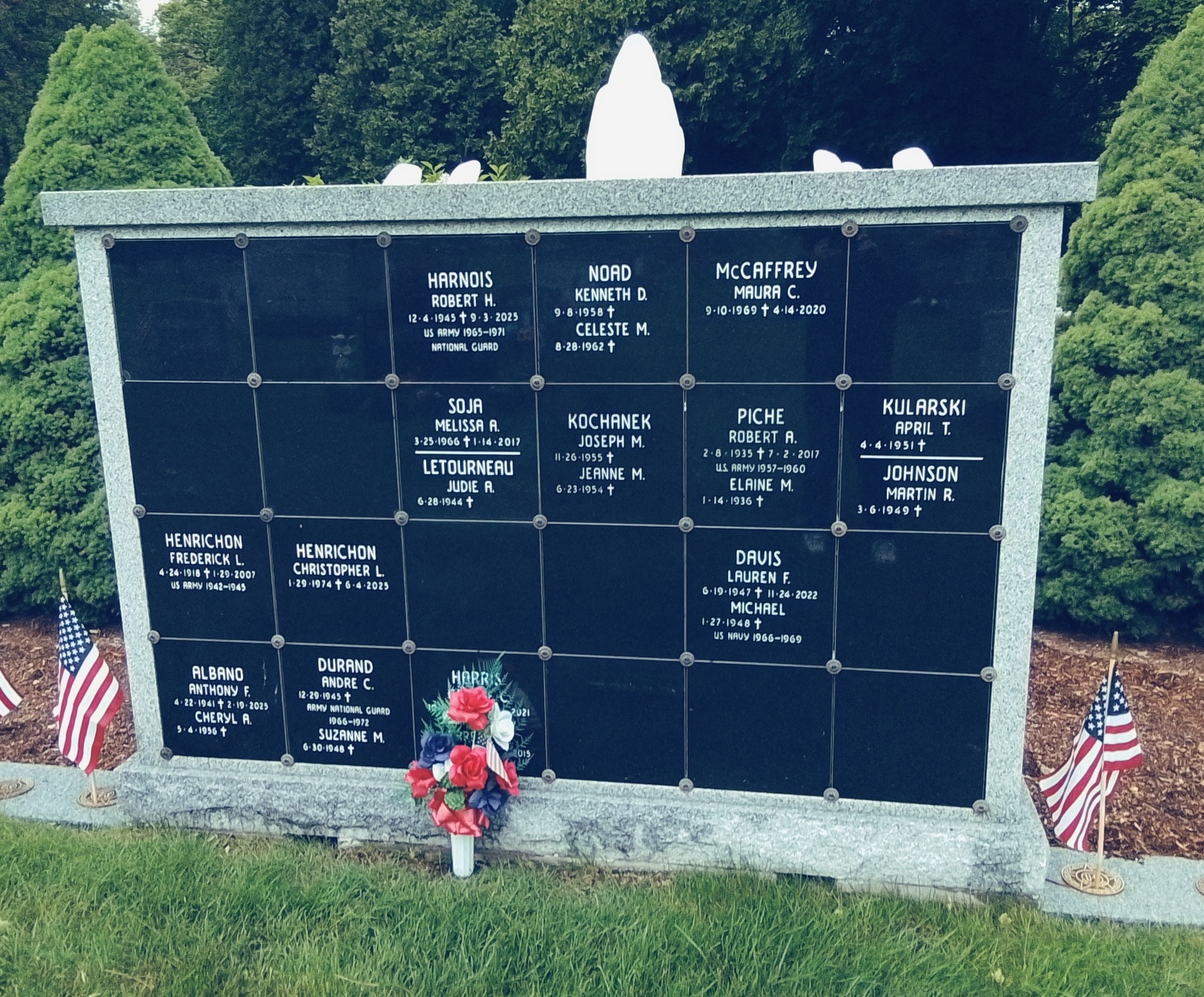
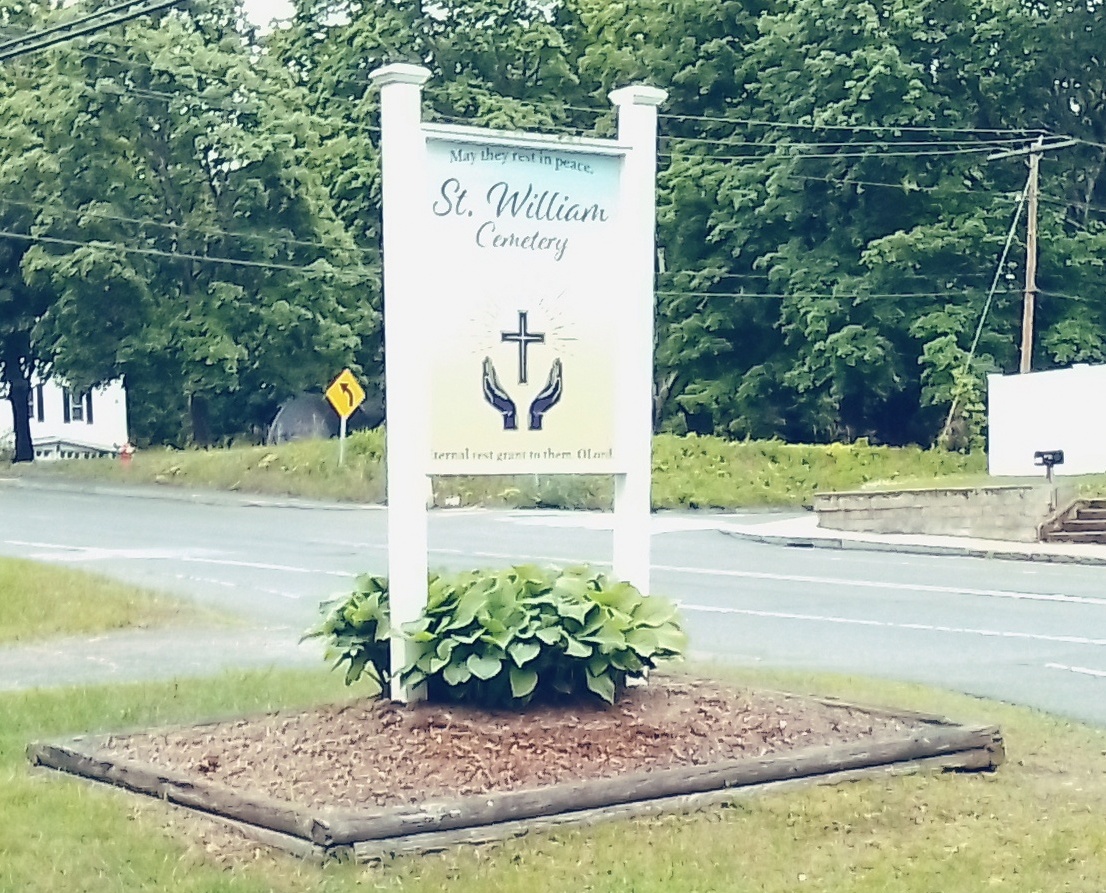
New Saint William Cemetery is found on Belchertown Road in Ware.
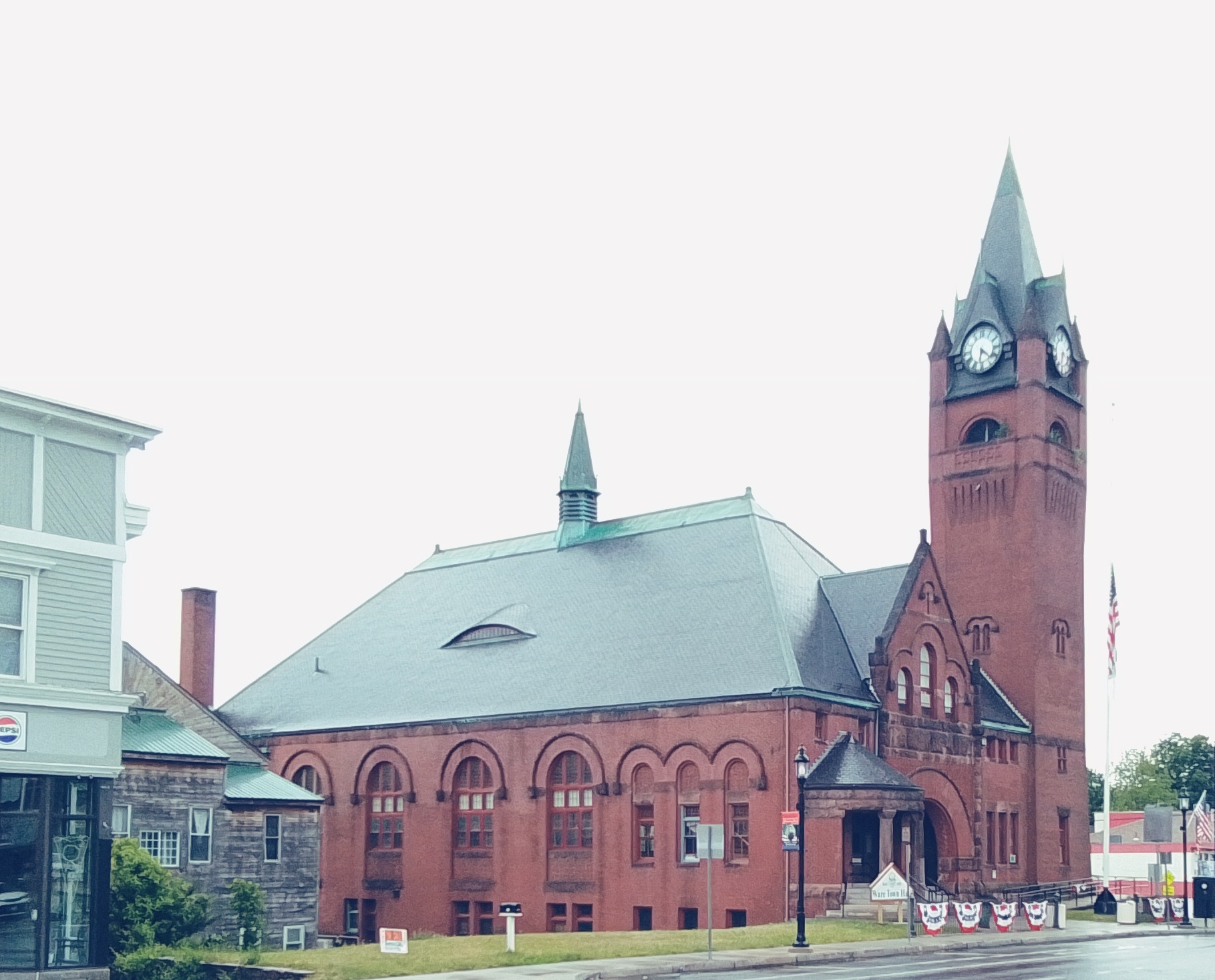
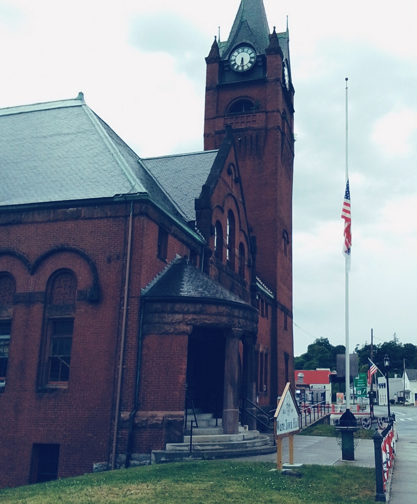
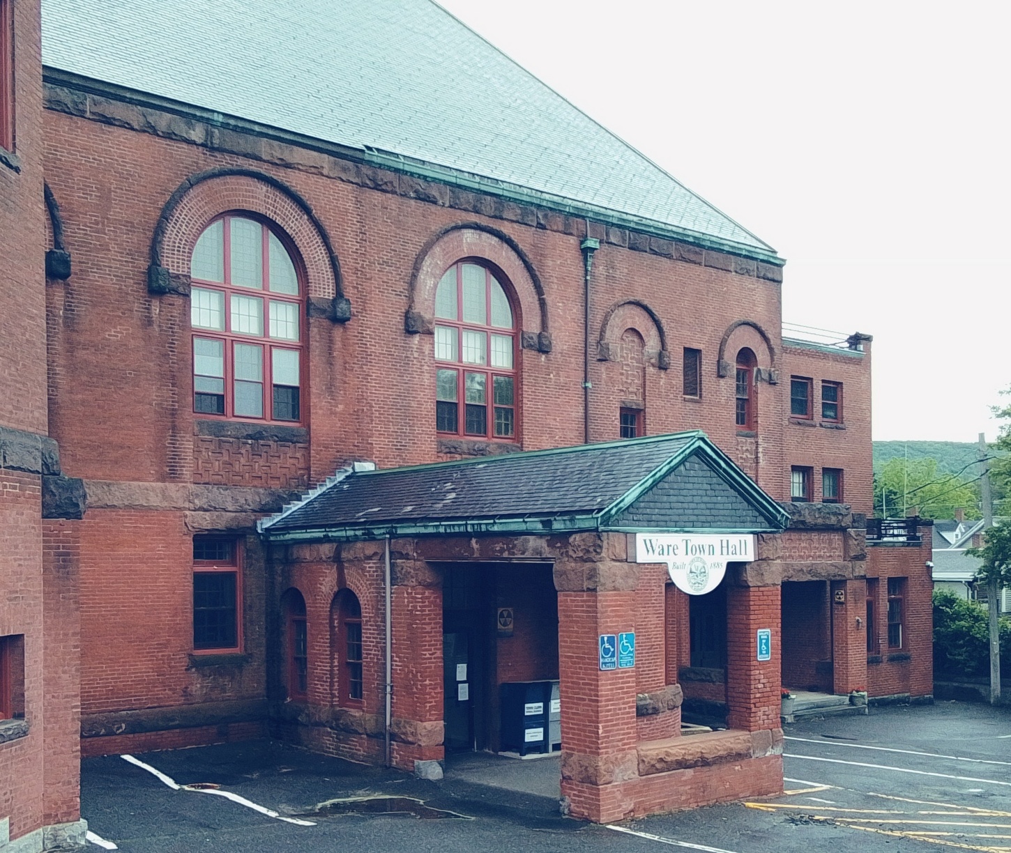
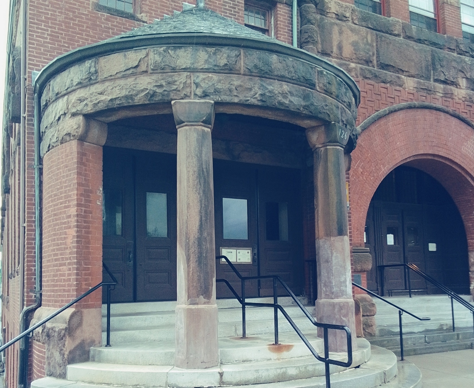
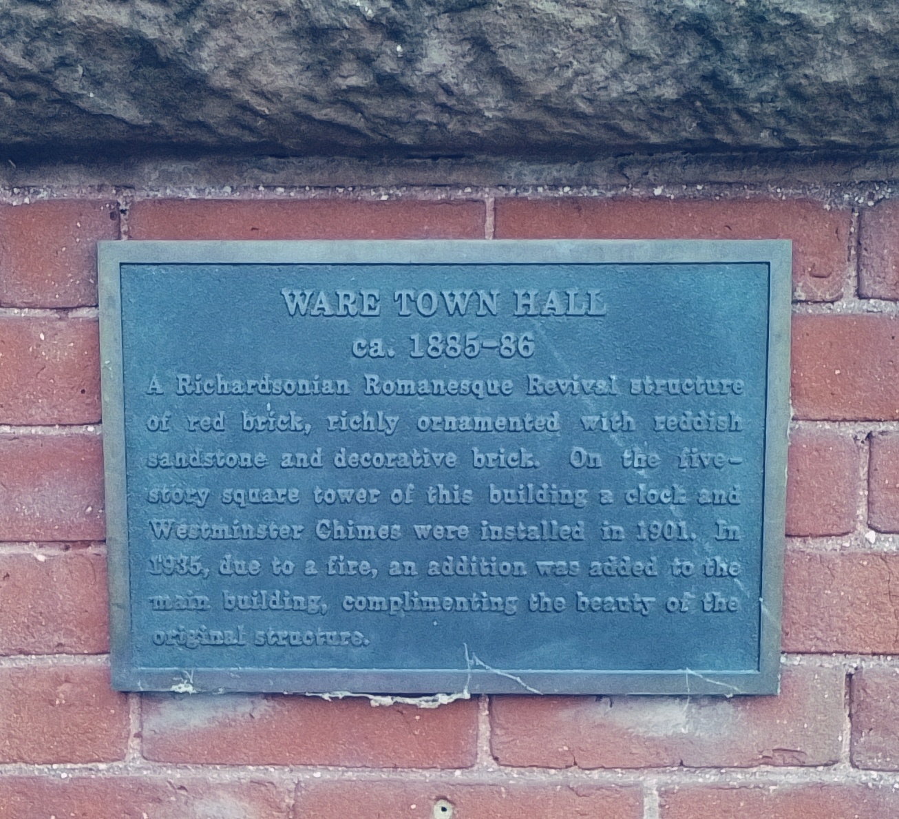
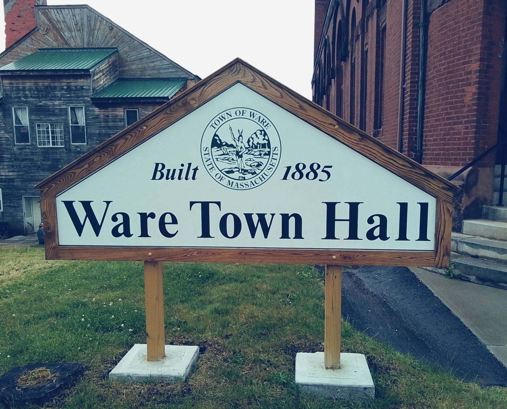
Ware Town Hall is at 126 Main Street. It is from 1885 and replaced one at the site beforehand. The style is Romanesque Revival.

Rosary Church Bell
The church bell was saved and is still in the Lyman Street School lot. In 1902 to 1903 the Lyman Street School was renovated into the Rosary Club.

