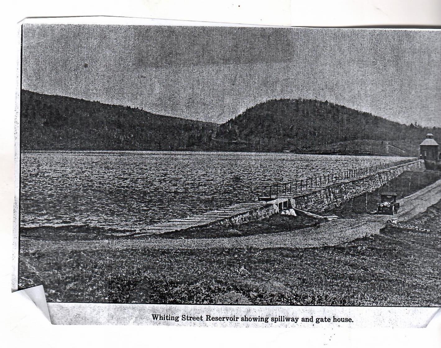
The control house (LOCATION) has water pipes deep underneath it.
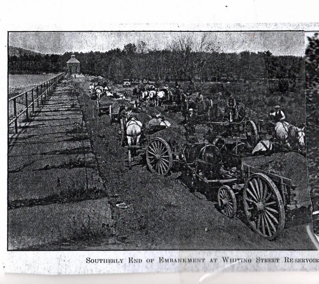
The pipe is even lower than the roadway below you. The view is beautiful in front of you but the important job of providing drinking water is done beneath your feet. The grass and dirt berm was added from 1929 to 1931. It was destroyed by Hurricane Diane. It was repaired the same way as in 1931 by draining the water and scooping out the dirt.
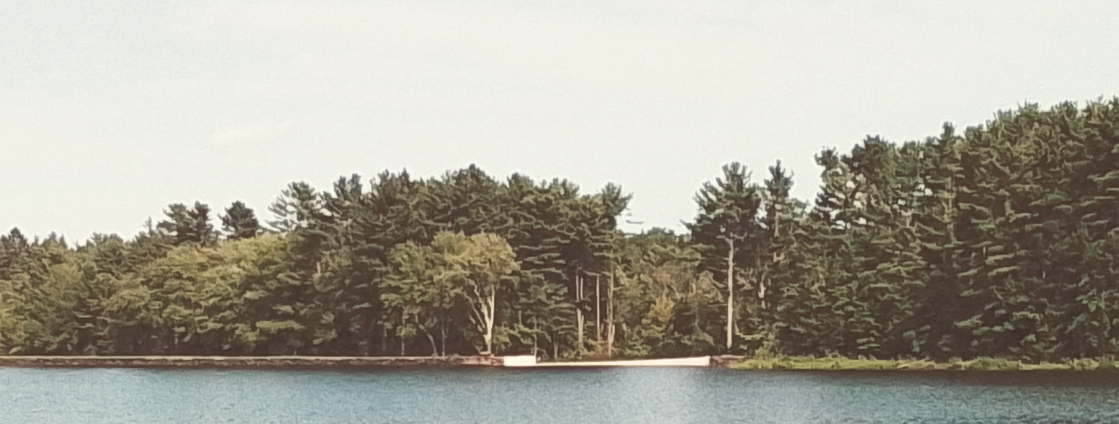
The is only for the overflow of water. (LOCATION) It enters over the small dam and is channeled until it meets the water coming from the control house. The spillway is 78 feet from the south end of the dam. The first spillway was 16 feet and 8 inches and was 2 feet 6 inches in height. A second spillway was added to that one.
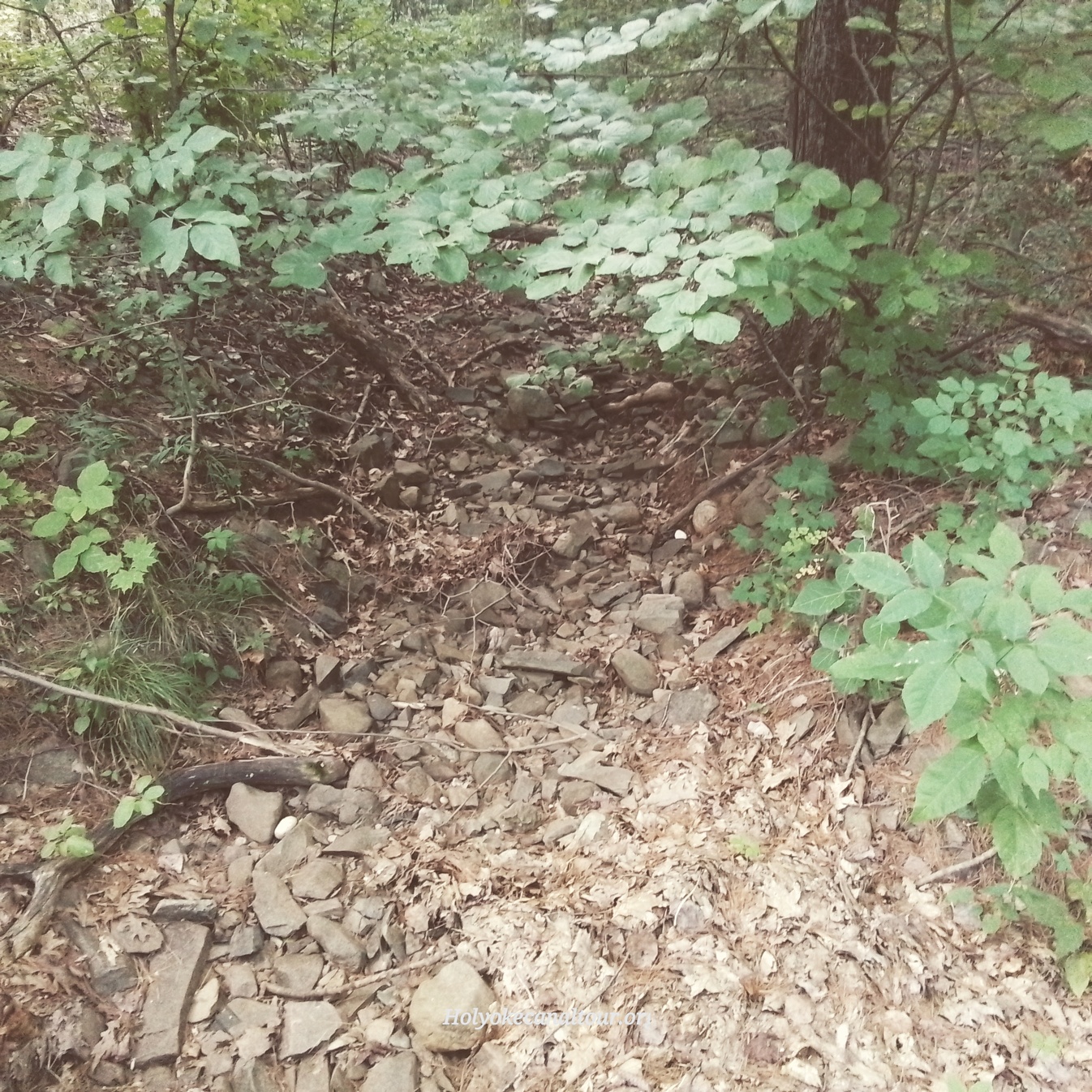
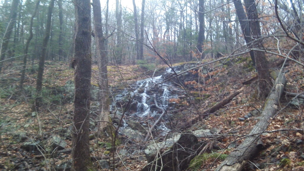
October 18-19 1955 Holyoke experienced the greatest rainstorm that has ever hit New England. 19 inches of rain fell on this part of the city within 24 hours. This was the rain from Hurricane Diane that had come up the Hudson River and then passed over the mountains of Western and Central Massachusetts. Holyoke Water Works feared that the dam would collapse during the height of the rain. It activated an emergency pipe (12-inch diameter) that is still visible in the berm of the dam (about 40 feet from this spillway). This led to Hastings Brook and then to a larger pipe (36-inch pipe) that parallels the entrance roadway. This pipe once led all water from the spillway, the emergency pipe, and from Hastings Brook 488 feet downhill into the concrete structure at the intersection with Roaring Brook. However, the Lower Intake Reservoir was overwhelmed and a flood of water cascaded down Whiting Street Road to Northampton Street. The intersection there was destroyed.
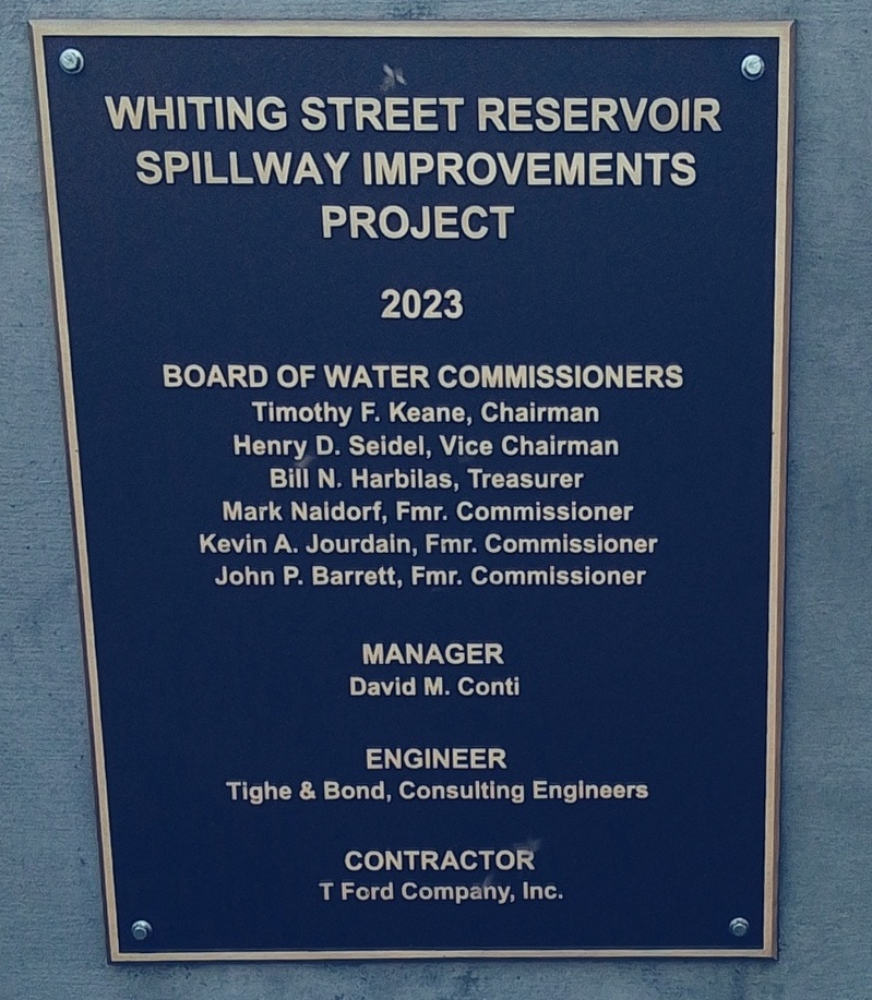
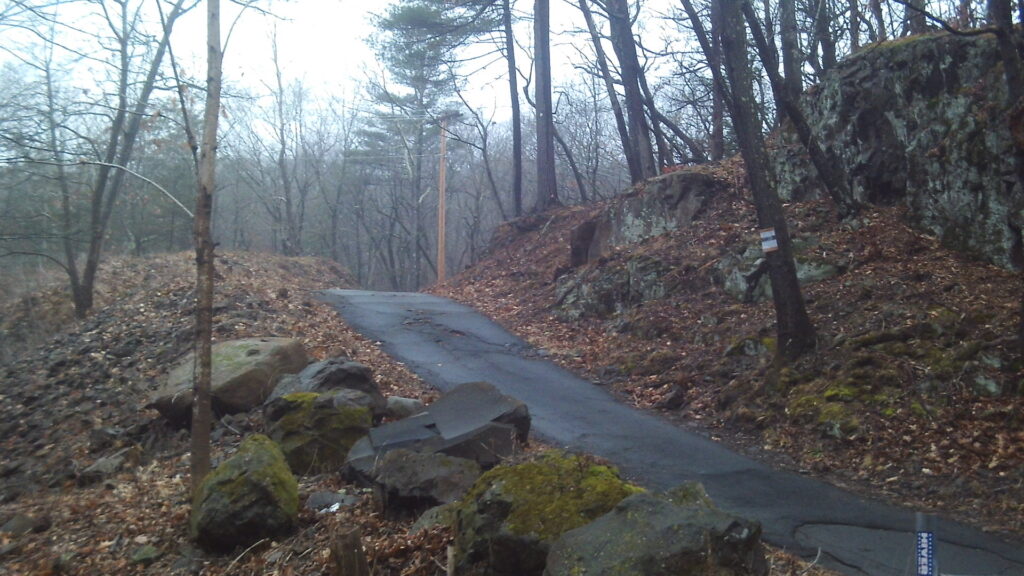
About 50 feet south of the spillway is an emergency road that was put in place in 1939. This gave workers another access road from the Intake Reservoir area to the spillway area. This spillway was fixed in the year 2023. It has a 1000 year floor spillway put in.
Whiting Street Reservoir Entrance to the old Mount Tom Golf Course
This is the entrance to the old Mount Tom Golf Course. (LOCATION) The course was six holes in 1898 and then nine holes. Before 1922 it changed to 18 holes. Donald Ross changed the course in 1922 to a new arrangement. A two lane road passed from here to Northampton Street. The dirt roadway was the transport axis of the course. Also golfers from Easthampton could come from Sheldon Avenue to the course via the reservoir.
In the 1930s it was renamed to Wyckoff Golf Course. The course changed drastically in 1964 when the interstate was made to pass through it. To help the golf course to continue to exist, the Holyoke Water Works on August 24 1964 sold land at low cost to the golf course. The land on the eastern side of the highway was converted into homes as part of the Wyckoff Park.
There had been service to the homes in Wyckoff Park area earlier than the 1960s and they were fed by water pumped from Whiting Street Reservoir. At first the pump was privately owned by Trustees of the Mount Tom Realty Company. This was taken over by the HWW in July of 1935.
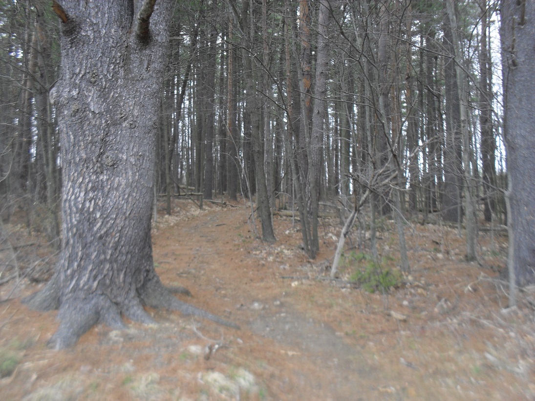
About 300 yards south of that golf course dirt road was the old trail from the country club. It is hard to find but use the map at the top of the page to locate it.
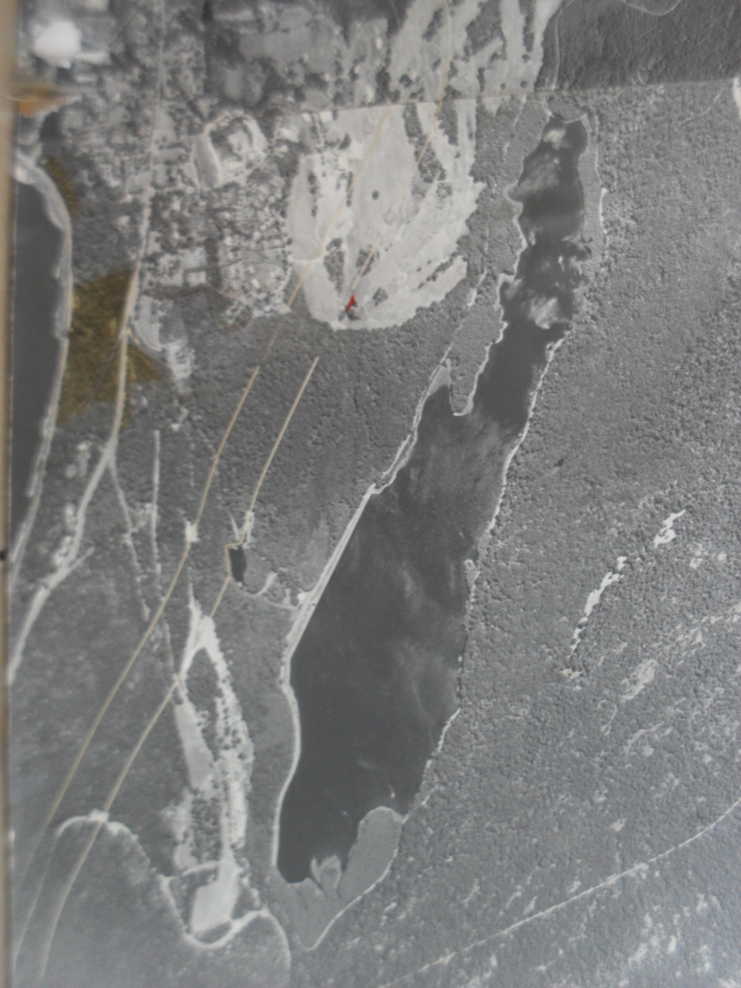
Notice the modern Wyckoff Golf Course. The stream coming out of the golf course is Roaring Brook. This is the stream that forms Whiting Street Reservoir. It starts near Jarvis Avenue and feeds most of the water entering the reservoir. The road leading south is the Albert Steiger Road. (LOCATION) It was built in 1931 and gave the HWW a road with easy curves and winding grades.
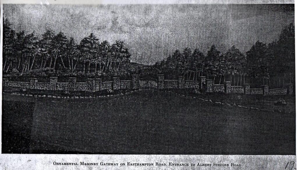
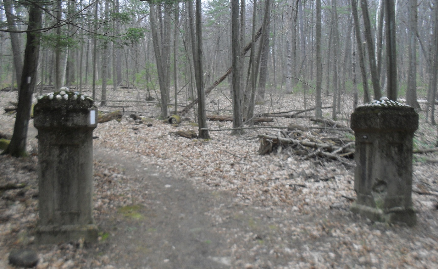
Albert Steiger deeded the land that the road is on to the Holyoke Water Works in 1929. The road was improved with side gutters in 1938 plus a resurfacing of the road with trap rock dust. However, during the Hurricane of 1938 the road and gutters were destroyed. Thus in 1939 and 1940 this road was repaired and expanded. This road meets Easthampton Road in three fourths of a mile. Just beyond that crossing is the Old Easthampton Road. There is a long ornate masonry gateway at this old road. This gate that is still there was built in 1937 as a WPA Works Progress Administration Project. PICTURES of GATE.
In the spring of 1953, the highway was rerouted and the gate became obsolete. There was talk of building a new one but it never happened. In September of 1993, the Albert Steiger Road had its name changed into Whiting Reservoir Road.
The brook 100 yards north of this road is the Roaring Brook that feeds the reservoir. The bridge over it was replaced in 1962.
Very Old Road from Whiting Street Reservoir to Easthampton Street
There are now three roads out of the southern part of Whiting Street Reservoir. The Steiger Road at stop 13 is the newest. Sheldon Road at stop 11 is the one of middle age. Between the two is the road that is the oldest. Its name is not known but it is on the map just above. You can still follow it to the highway. It is about 3/4th of a mile long.
Sheldon Avenue (LOCATION) was built in 1914 and is 1600 feet long and has easy grades and curves. Sheldon Avenue to Easthampton Road was once fully gated both here and at its highway entrance. These gates had swinging gates added in 1920 to prevent the public coming in when the road was soaked. By 1922 the gate was permanently locked.
It led to Route 141 but is now part of the Metacomet Monadnock Trail and which is itself part of the New England Trail (TRAIL MAP or BROCHURE). The Monadnock Trail was blazed Feb 28 1953 and led to the Metacomet Trail.
The road was named after Jesse Sheldon a water commissioner. The entire Mount Tom Range is a State Reservation since 1903. There are three trails that lead from the reservoir into the Reservation.
Whiting Street Reservoir Road to Top of the Mountain
About 500 yards from your last stop, there is the start of a trail system on the sides of Mt Tom. (LOCATION) This road allowed people to drive their car to the top of the mountain. This property is now owned by Holyoke Gas and Electric.
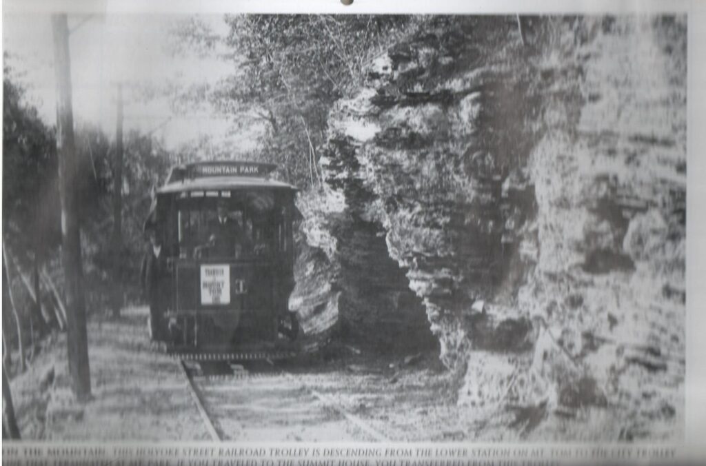
This path leads to the top of Mount Tom. (LOCATION) The old trolley bed is found up this trail also. To get to the mountain road walk this trail and then 10 feet along the tarred road and then a sharp left to climb the mountain. Mount Tom is 1266 feet above sea level. Climb it some day with a friend.
In 1945 electric wires were added to the roadway for developing a FM radio station on top of Mt Tom. This was called the Hampden-Hampshire Corporation.
Stop about 2/3rd up to the summit. There on July 6 1946 a B-17 transport plane crashed with all 25 men dying. There is a monument on the mountain for these military men. Beyond the mountain access road is the Mount Tom Ski Area. It started in December of 1960 for downhill skiing. Decades later an alpine slide, a wave pool, and a water slide were all put in. In 1998 all closed.
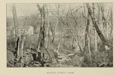
About 10 feet south of the point 8 on your map see the end of the Whiting Street Brook. Whiting Street was a farmer and investor who at his death in 1878 had left a trust fund to many communities. The reservoir and the brook are named after this person. FINDAGRAVE
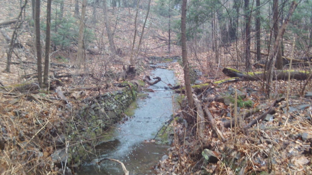
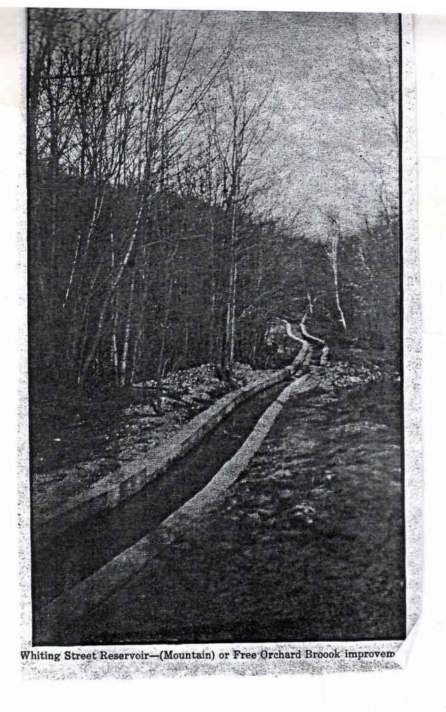
The Whiting Street Brook and its tributary the Free Orchard Brook was widened and deepened in 1888 to get the work at the reservoir into gear. The brook now has its origin at the Loomis Reservoir (aka Summit Reservoir) on the mountain. The concrete sides of the brook were added in 1911 to form a channel and the concrete bottom added in 1936 and 1937. [There are extensive trails at the Mount Tom Reservation.] Loomis Reservoir was made in 1896 to get water to the hotel on top of Mount Tom. It is 125 feet by 50 feet and 9 feet deep at its maximum.
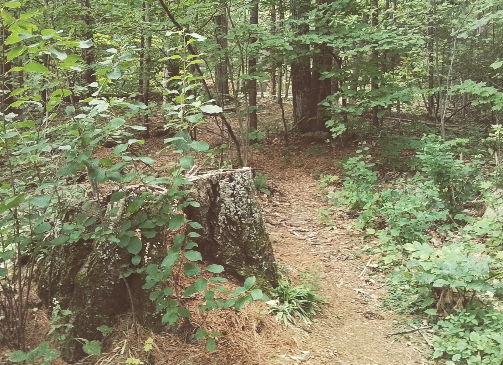
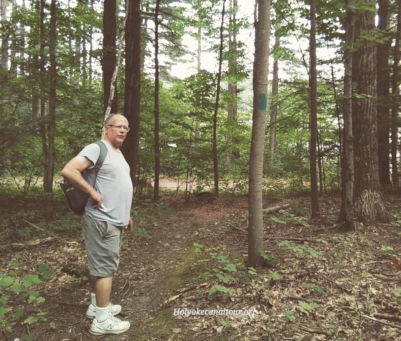
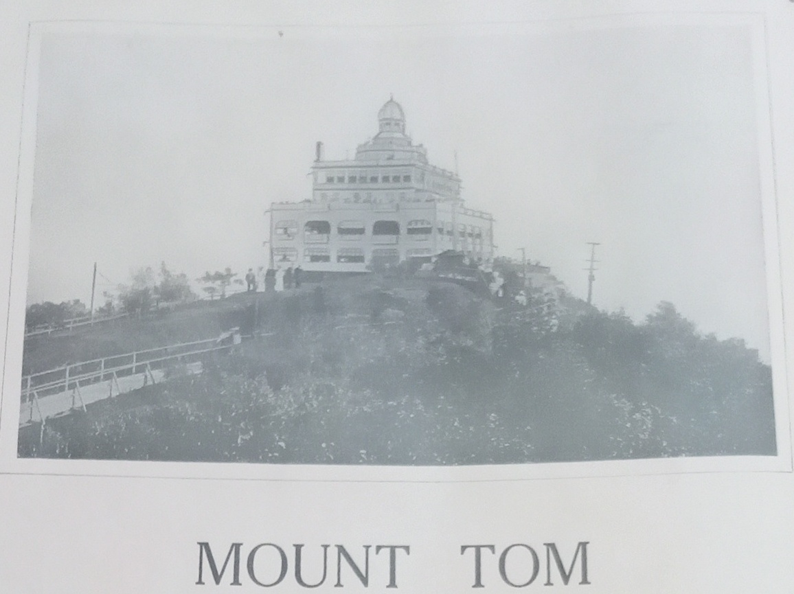
A hotel was built at the summit of Mount Tom. To get there 120 years ago you could walk, drive a car, or take the tramway. The drive up the mountain was from a trail that is about 500 yards farther along the Whiting Street road. At that point there is a tiny trail that goes up the mountain that was once used by cars.
Mountain Park Trail at the Whiting Street Reservoir
The Holyoke Catholic High School Cross Country Course starts here. It is 2.72 miles to the end point back at the stairs near the control house. The course was used for 46 years as their home course.
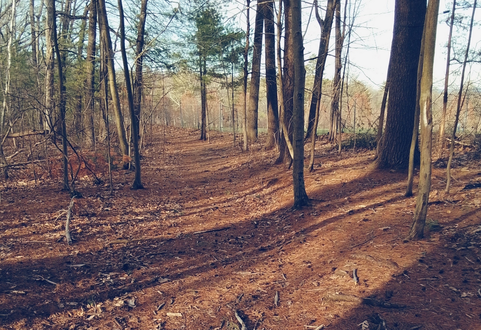
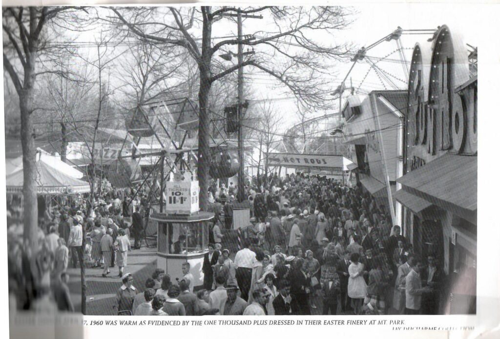
Mountain Park was started in 1897 as a deer park and theater. It was a trolley park. The only road entrance to the park was via this road until 1915. About 40 feet back from this point, there was the original road that circumnavigated the reservoir – Mountain Park Trail (LOCATION). It is the only part of the road that has been detoured. It originally led to the Mountain Park area. In 1909 the entire road around the reservoir was widened and hardened. As part of this roadwork in 1909 and 1910 the new path (along the water’s edge) was put in due to the congestion of parked vehicles visiting the Park. The head of the Holyoke Water Works had had it with the Mountain Park people. In 1911 a barbed wire fence was placed between the reservoir and the Mountain Park.