Holding Tomb and Family Tombs in the Bridge Street Cemetery in Northampton
Holding Tomb and Family Tombs in the Bridge Street Cemetery in Northampton
Table Gravestones
FINDAGRAVE – The Reverend Solomon Stoddard is buried here as one of nine table gravestones. He is in a group of three tables in sequence. He is to the right and his wife is in the middle. Their son John Stoddard is on the left.

Isaac Bates Mausoleum in Northampton
The tomb is from 1875 and was made by Richard Upjohn.
| burial | birth year | death year | Findagrave |
| Isaac Chapman Bates | 1817 | 1875 | FINDAGRAVE |
| Arthur Edward Bates | 1853 | 1873 | FINDAGRAVE |
| Frances Sarah Attwill Bates | 1828 | 1916 | FINDAGRAVE |

Land of Providence (Holyoke)
Toward the river one finds a few homes but most of the land is called the Land of Providence. It is owned by the Trustees of the Reservation. Read about the LAND at the link. Also there is a hiking trail on the land so download their MAP. Also La Finca is there. La Finca has a labyrinth like the Mont Marie Cemetery has but is smaller.
Mount Saint Vincent Girls’ Home
From June 1880, this home housed not only orphan girls but also elderly men and the nuns. So it was an orphanage, an old age home, and a convent all in one. The Sisters of Providence ran the home. It was the first building ever that the Sisters of Providence used in the Ingleside area. They had the new house built in 1881. It was dedicated February 22 of 1881. At first it had 25 boys, 30 girls, and 20 adults. It was also a novitiate for young nuns. Mother Mary of the Providence designed the building. Its formal name at first was the Mount Saint Vincent Hospital and Diocesan Orphanage. It remained mostly an orphanage for decades until 1954 when all orphans were moved to the new buildings at the Sisters of Providence Child Care Center.
LIST of girls at the Mount Saint Vincent School in 1911.
From 1954 to 1968 the Mount Saint Vincent area was a home for old people. Then at that location in 1972 was built the building that is there now – the Mount Saint Vincent Care Center. It is a rehab center and a rest home.
Holyoke City Farm
The city farm of Holyoke was located where the Holy Family Road cuts into the Mont Marie area. It was owned by the city and used as food for the poor. Both Holy Family Institute at Brightside and Mont Saint Vincent Asylum used food from the farm. The location were the City Farmhouse was is now the Geriatric Authority of Holyoke. It is a home for old people. Across the street is the Devonshire Place Apartments. Farther along the road is the ballfields for the Donahue School.

Beaven Kelly Home for Aged Men
This home was actually started at the girls orphanage location in 1893 (when the boys’ orphanage moved). The men finally got a home of their own in 1907. This house is now a respite. Read more at their LINK. Bishop Thomas Beaven started this home and named it after his parents – Thomas Beaven and Nancy Kelly.
Holy Family Chapel
The Holy Family Parish was started to serve the people in the Brightside and Ingleside area. Brightside extends into West Springfield so many people from West Springfield attend Sunday mass at the Holy Family Chapel. The chapel had 4 pastors during its existence. They are listed in the grid below. The Holy Family Parish was started in 1892 but did not have its own pastor until 1904. On January 29 1949 Holy Family Parish became a canonical parish. It was not until 1968 that the chapel was finally given official designation as a parish. But it did not last long since two years later in 1970 the church status was gone. Still since it was an official parish, it needed an official rectory so in 1969 the Edward Whiting home on Northampton Street was moved to Holy Family Road and used as a rectory and as a chapel.
| pastor | years | burial |
| John Daley | 1904 to 1919 | unknown |
| Francis Lahey | 1920 to 1938 | unknown |
| Henry Sullivan | 1939 to 1948 | unknown |
| Raymond O’Brien | 1950 to 1970 | unknown |

Bethlehem Foundling Home of Holyoke
The Bethlehem Foundling Home was built in the year 1900 as a home for children under 2 years old. It was remade in 1909 after a fire in 1907. It stayed in this role from that era to the 1954 move into the West Springfield border area. In 1959 it was made into a student nurses’ home and a convent. The Our Lady of the Victory Convent nearby had been used for the function – good thing they moved since in 1960 it blew up.
It is one of the few buildings left in the Brightside or Ingleside area. It is now the McCleary Manor and functions as a home for men that are recovering from addiction. Read about the PROGRAM. It is run by the Providence Ministries. A similar program of theirs is at the Broderick House in South Holyoke. For men that are still at less than a year of sobriety check out the Loreto House. It has existed since 1987. To read about the tour of Precious Blood Church area that gives the history of the programs than go to this LINK.

Holy Name of Jesus Church of Chicopee
The church was originally a wooden clad church that was built from 1839 to 1843. This was Saint Matthews Church and was on Pleasant Street.
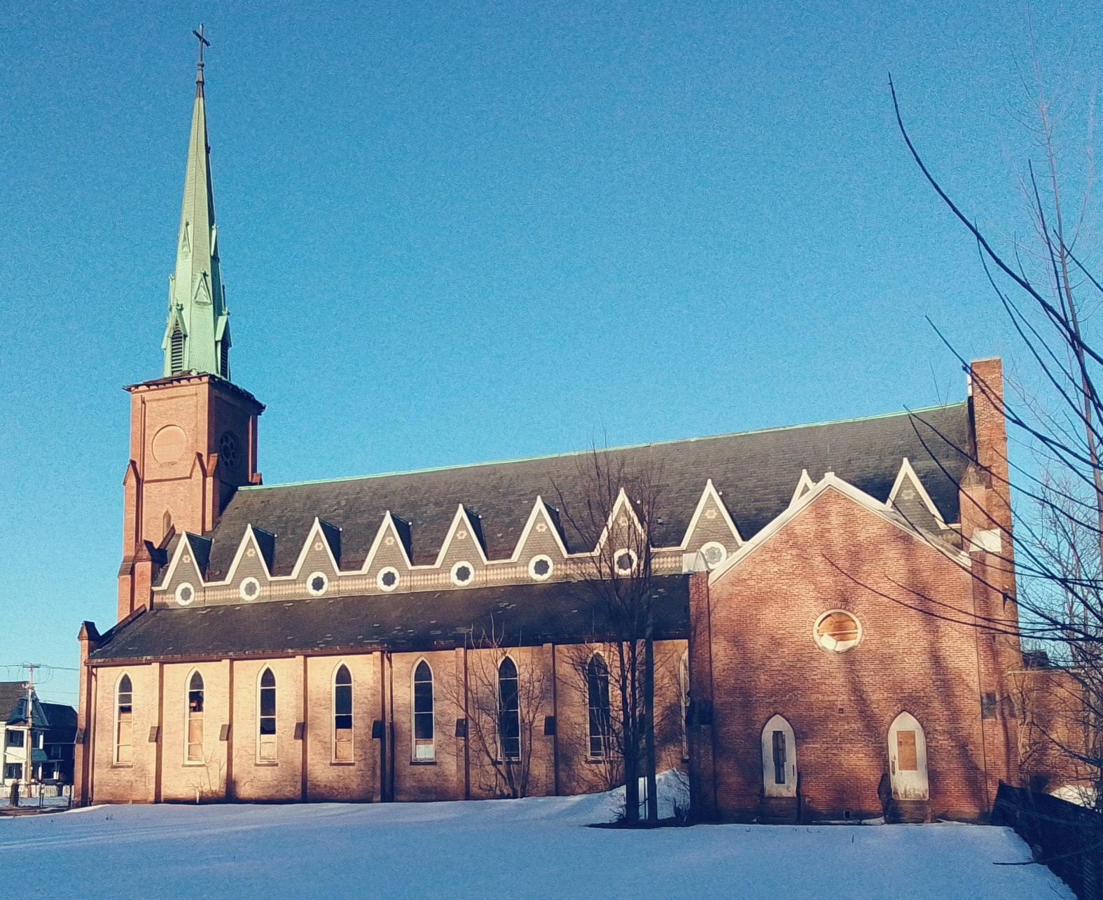
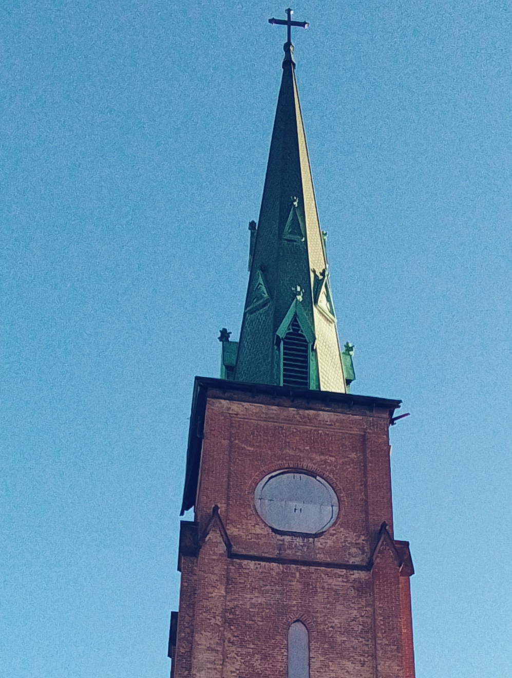
The brick church of the Holy Name of Jesus was built in 1857 and 1858. (Land was purchased in 1854.) The dedication was May 29 1859. This brick church had been designed by Patrick Keeley.
William Blenkinsop the third pastor had the brick church built.
In 1874 the organ was installed.