
Hardwick
Gilbertville Congregational Church – https://friendsofthestonechurch.org/
George Gilbert Manufacturing Company
Gilbert School 1903 Main Street
Hardwick
Gilbertville Congregational Church – https://friendsofthestonechurch.org/
George Gilbert Manufacturing Company
Gilbert School 1903 Main Street
Monson
Main Street Area
Memorial Town Hall 1884 – 198 Main Street Wikipedia
Monson Center Historic District
Monson Developmental Center – 14 Cushman Street
William Norcross House
CANALS
Cushman Woolen Mill Canal
Ellis Woolen Mill Canal
Ricketts Woolen Mill Canal
Somerset Woolen Mill Canal
CHURCHES
St. Patrick Parish 1878 – 22 Green Street – www.stpatstchris.org
CEMETERIES
Bennett Road Cemetery – Bennett Road
Bethany Cemetery (Saint Patrick Roman Catholic Church Cemetery) 1878 – Bethany Road – nearby is the Pearl Street Cemetery – arch is to John O’Keefe – Bethany Chapel inside of Romanesque design – town cemetery nearby is from 1762
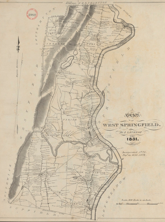
settled in 1636 and became a town in 1855
Worthy Paper Mill Canal
Perry Lane Park – Three Mile Brook runs through it – about 138 Elm Street – the Agawam Company Woolen Mill is at 168 Elm
Vietnam Veterans Bridge between Agawam and West Springfield
Churches – LIST
Cemeteries – LIST
National Register
Agawam Center Historic District
Hampden County Training School
Captain Charles Leonard House – 663 Main Street
Purchase-Ferre House – 1289 Main Street
School Street Barn – 551 School Street
Thomas and Esther Smith House – 251 North West Street
Boston Duck Company Canals


Thorndike Company Canals
Mill number 1 is from 1837 and mill number 2 is from 1845.


First Baptist Church is from 1826 with the current church being from 1903. The first edition was on West Street opposite Elm Street.


Forbes Library was dedicated in 1894. It was designed by William Brocklesby in the Richardsonian Romanesque style. This style stresses deep windows and dark colors. This designer also did the Academy of Music.

external LINK
Calvin Coolidge Presidential Library and Museum – external LINK to the presidential library. Here is a WIKIPEDIA article on all the presidential libraries.


Blessed Sacrament Roman Catholic Church is from 1900 as the cornerstone states. Work started in 1899. The church is at 344 A Elm Street and later is listed as 354 Elm. The rectory is at 336 Elm Street.

| pastor | |||
| T P Lucey | 1900 | at least 1910 | |
| James Broderick | 1933 | ||
| John F O’Connor | at least 1934 | at least 1950 | |
Sanborn maps do not show this area.


