
1894
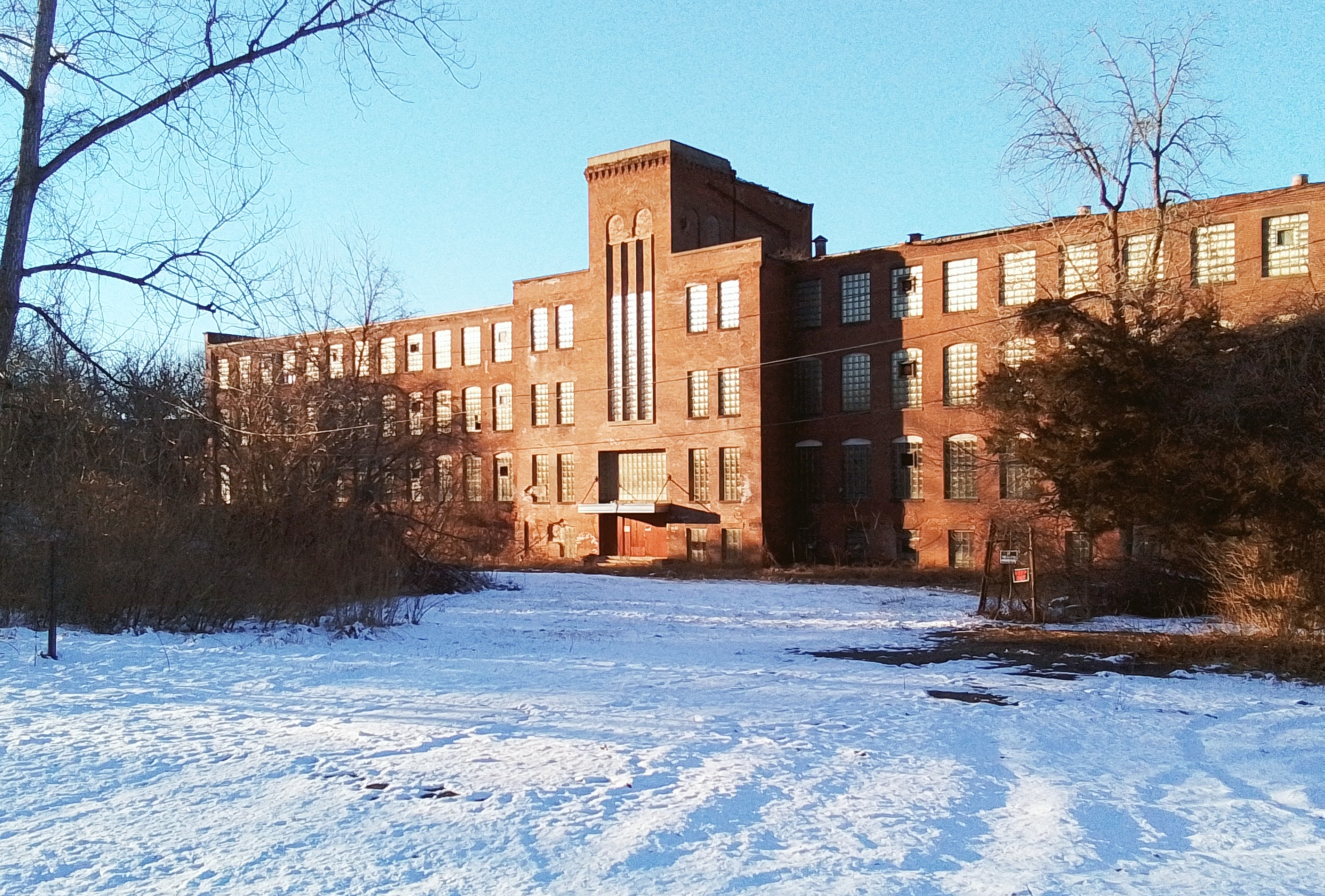
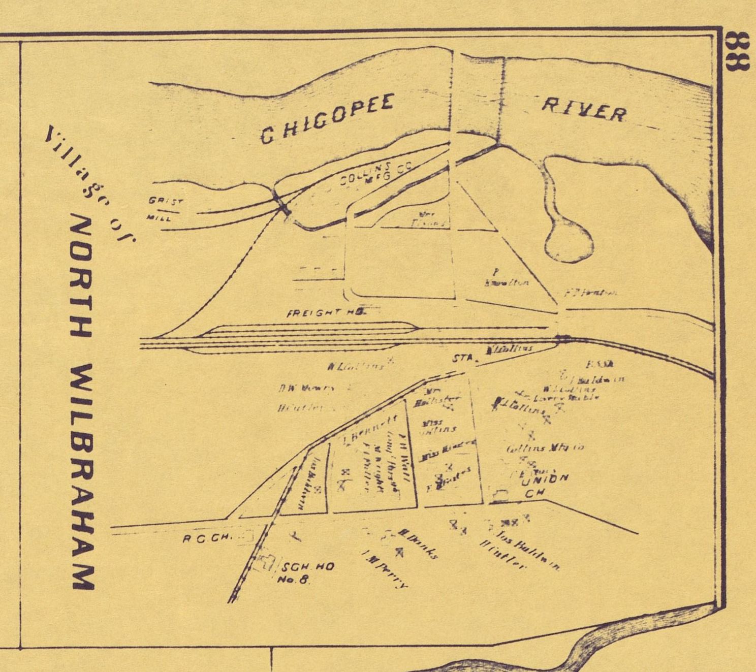
Collins Canal is in Wilbraham.
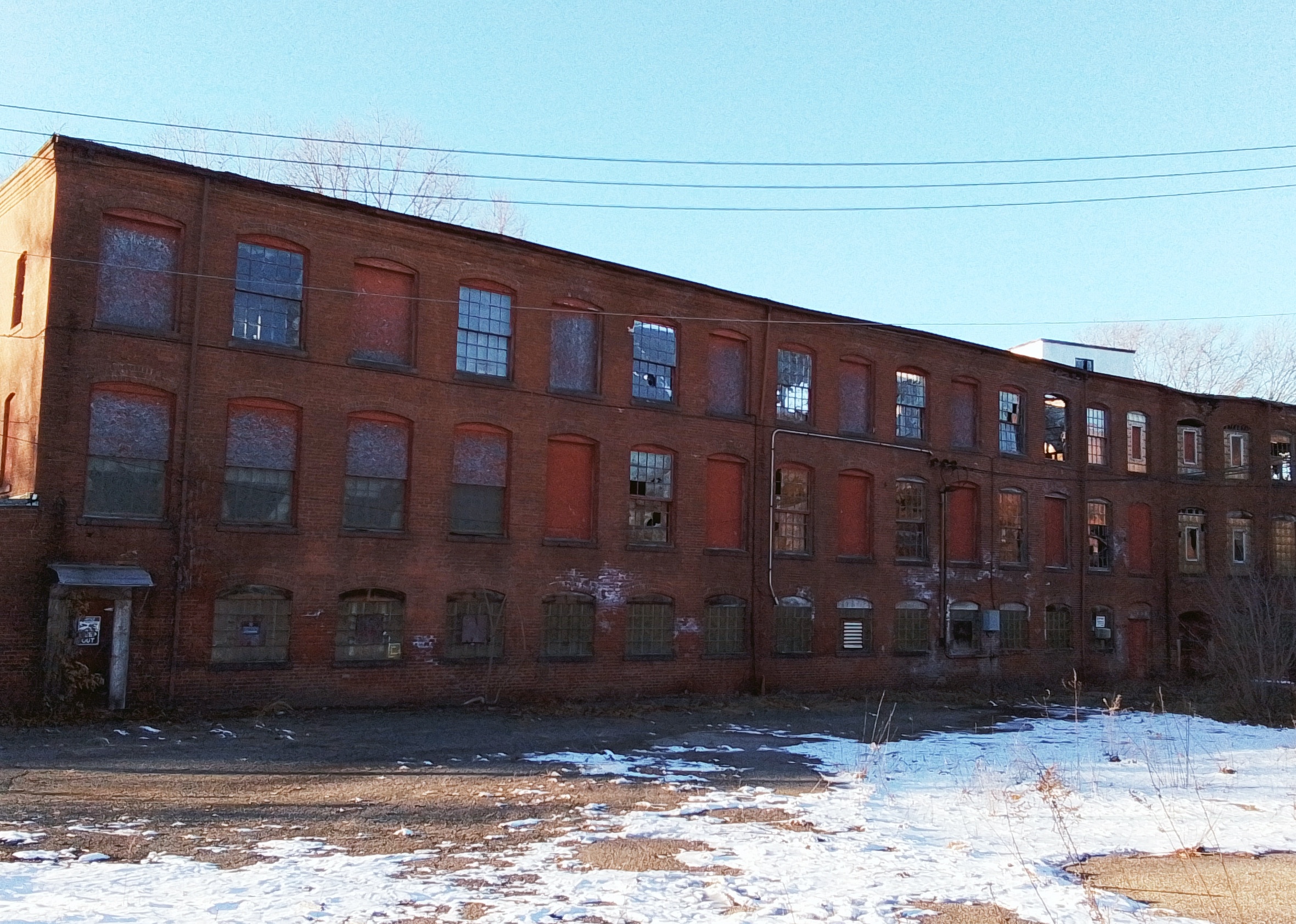
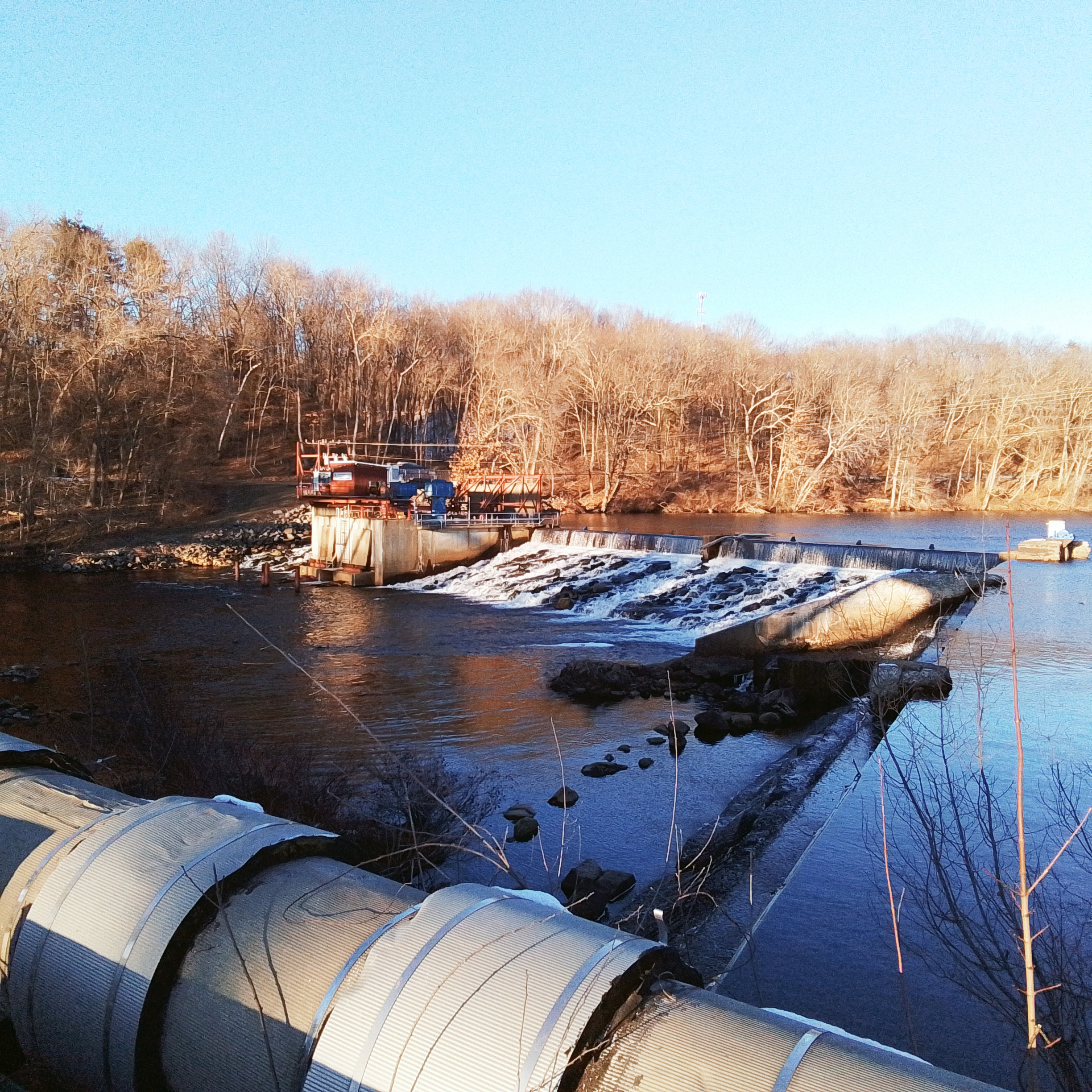
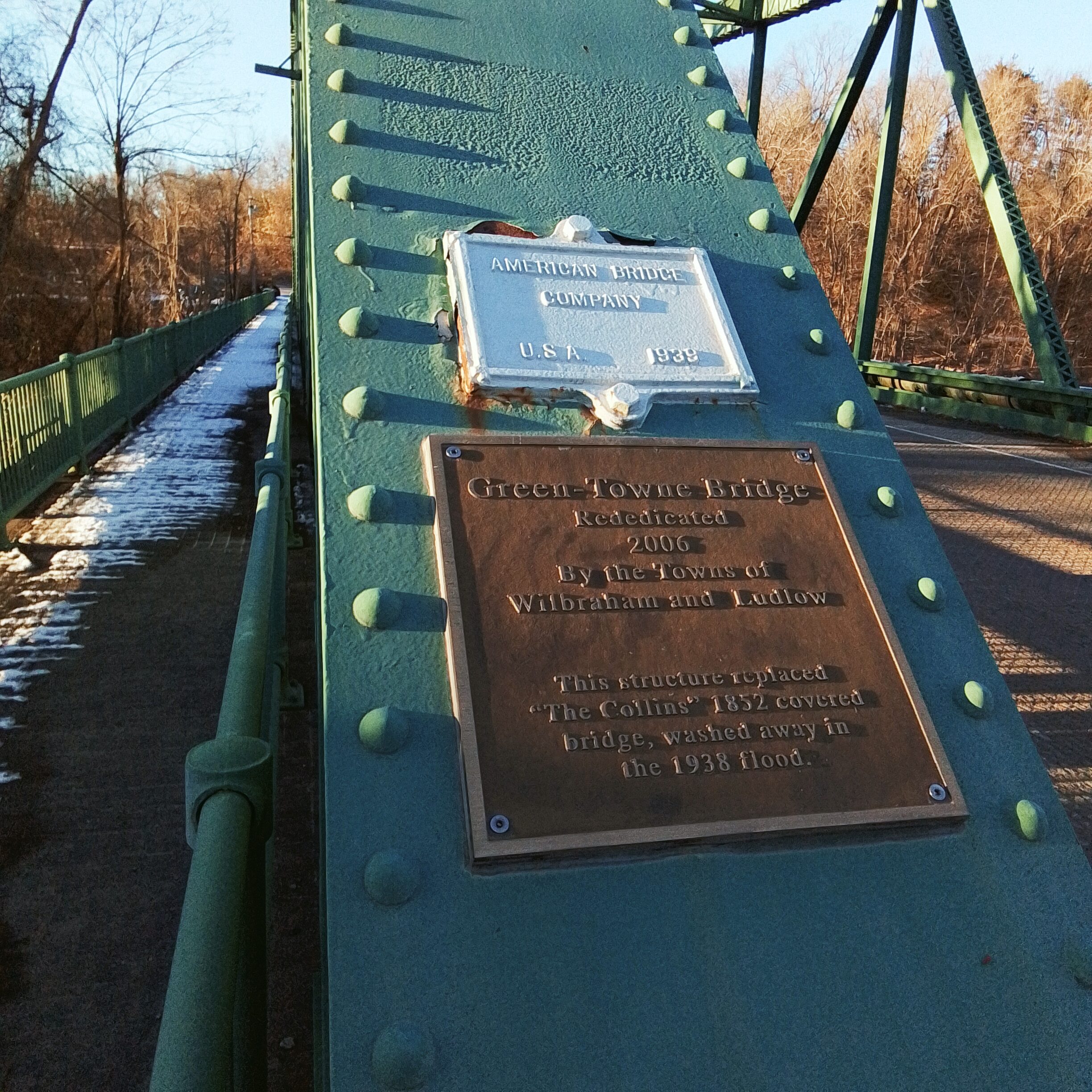
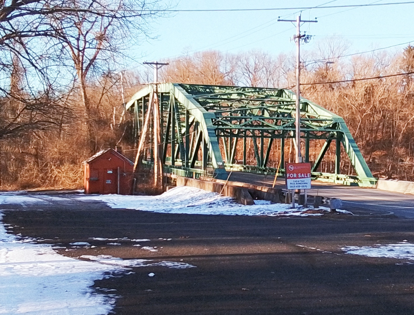


Collins Canal is in Wilbraham.
Power Canals of the Chicopee River
LINK to my Patreon pay per view video.
Watch the feature length video from the Wilbraham Public Access below:
| canal | link | location | year dug |
| Chicopee Center Canal | LINK | Chicopee | 1832 |
| Chicopee Falls Canal | LINK | Chicopee | 1823 |
| Indian Orchard Canal | LINK | Springfield | 1846 |
| Ludlow Canal | LINK | Ludlow | 1822 |
| Collins Canal | LINK | Wilbraham | 1872 |
| Red Bridge Canal | LINK | Wilbraham | 1902 |
| Three Rivers Canal | LINK | Palmer | 1826 |
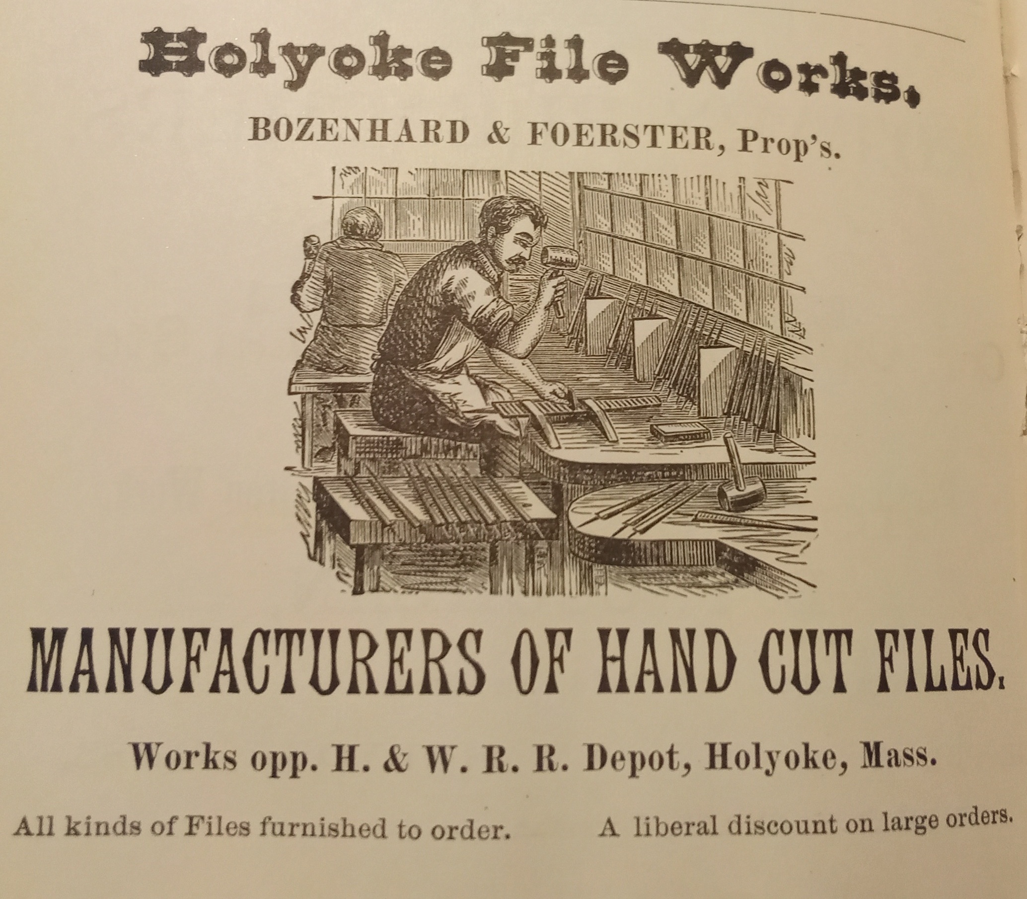
Holyoke File Works
Holyoke History Room Photos
Warner Collection
Milan Warner LINK
Wilhelm Collection
Carl Robert Wilhelm LINK
View of the Mount Tom and Holyoke Ranges – LINK

The Mount Tom Range is to the left in this image and the Mount Holyoke Range is to the right. Mount Nonotuck is visible at left. Mount Norwottuck is at the far right. From right to left until the gap in the mountains for the Connecticut River is Round Mountain (now gone), Bare Mt, Mt Hitchcock, Seven Sisters, and Mt Holyoke. In the midground, from right to left is the First Congregational Church, the Robert Houston house, the Highlands Methodist Episcopal Church, and the Hampden Fire Station. (These have the backdrop of the Mount Holyoke Range.)
In the foreground is the Timothy Merrick house at extreme far right but only a bit visible. Then right to left: the Merrick carriage house and the James Ball mansion (which would become a home of the elderly). In the slightly left of center is a farmhouse that Oren Allyn would purchase and raze. He would build there in about 1907 a development of new homes. In the exact center is the bend of Westfield Road at Roosevelt Avenue. This would become the Roosevelt Triangle. The name “View from Ingleside” is correct since Ingleside was a vastly larger neighborhood in 1900. It included present day Ingleside plus Springdale, Whiting Farms, and southern Oakdale.
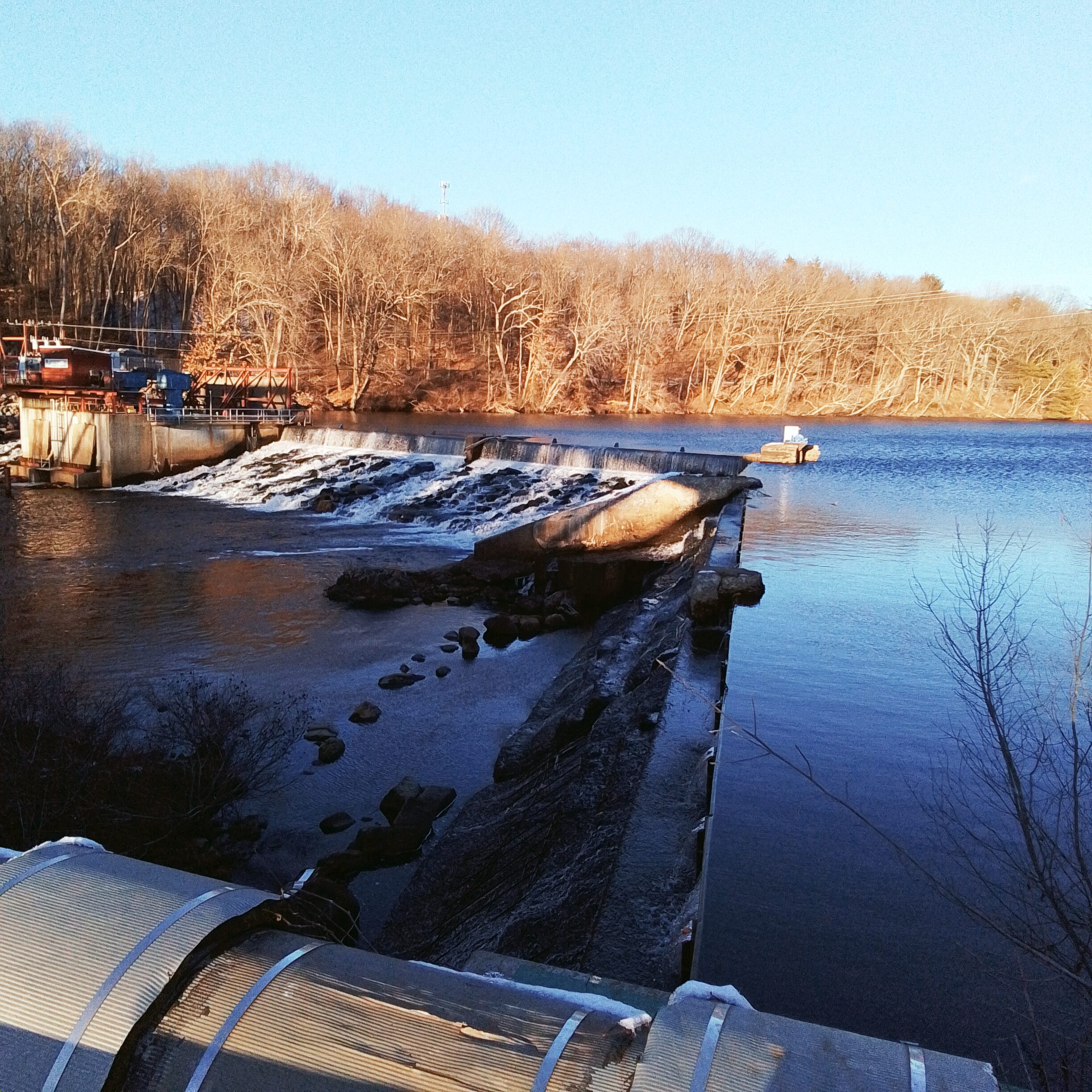
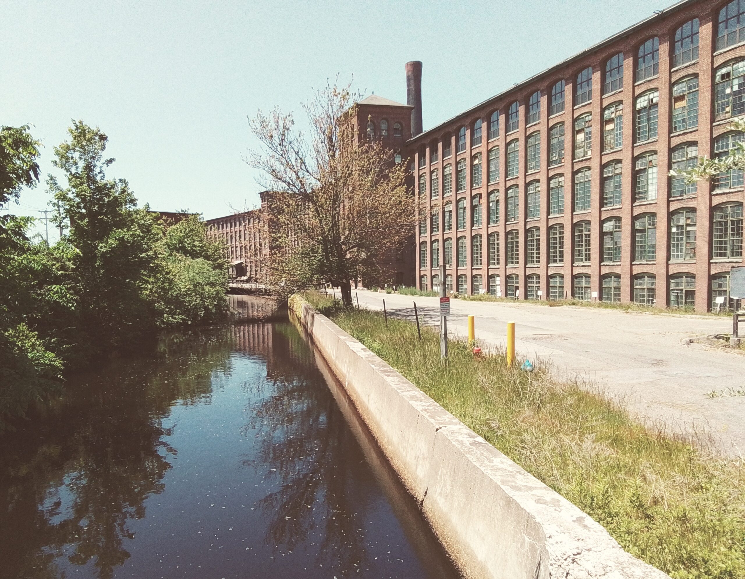
Indian Orchard Canal was built in 1846 in Springfield Massachusetts. It is 1400 feet long and 8 feet deep. It ranges from 60 to 80 feet wide since at its start it needs to draw in a lot of water but at its end much of the water has been released into tunnels below the mills. The walls are of brownstone.

The design to build it had been set in motion in 1837 as the Indian Orchard Canal Company. The construction was by Charles McClallan who did the Holyoke Canal and both Chicopee Canals. He built the Indian Orchard Dam and Gatehouse at the entrance to the canal. The dam is to divert water into the Indian Orchard Canal. It is made of brownstone. Its dimensions are 20 feet high and 402 feet long. The gatehouse has 7 gates and lifts them via rack and pinion.
The first mill was not until 1854 so canal water was not used until then.
MILLS
Ward Manufacturing Mill – 1854 to 1859 cotton mill
Indian Orchard Mills Company – 1859 to 1890 cotton mill – made a mill 2
Indian Orchard Company – 1890 to 1938
United Electric Light Company – 1897
Lillie Company Mill – 1890 cotton and wool mill
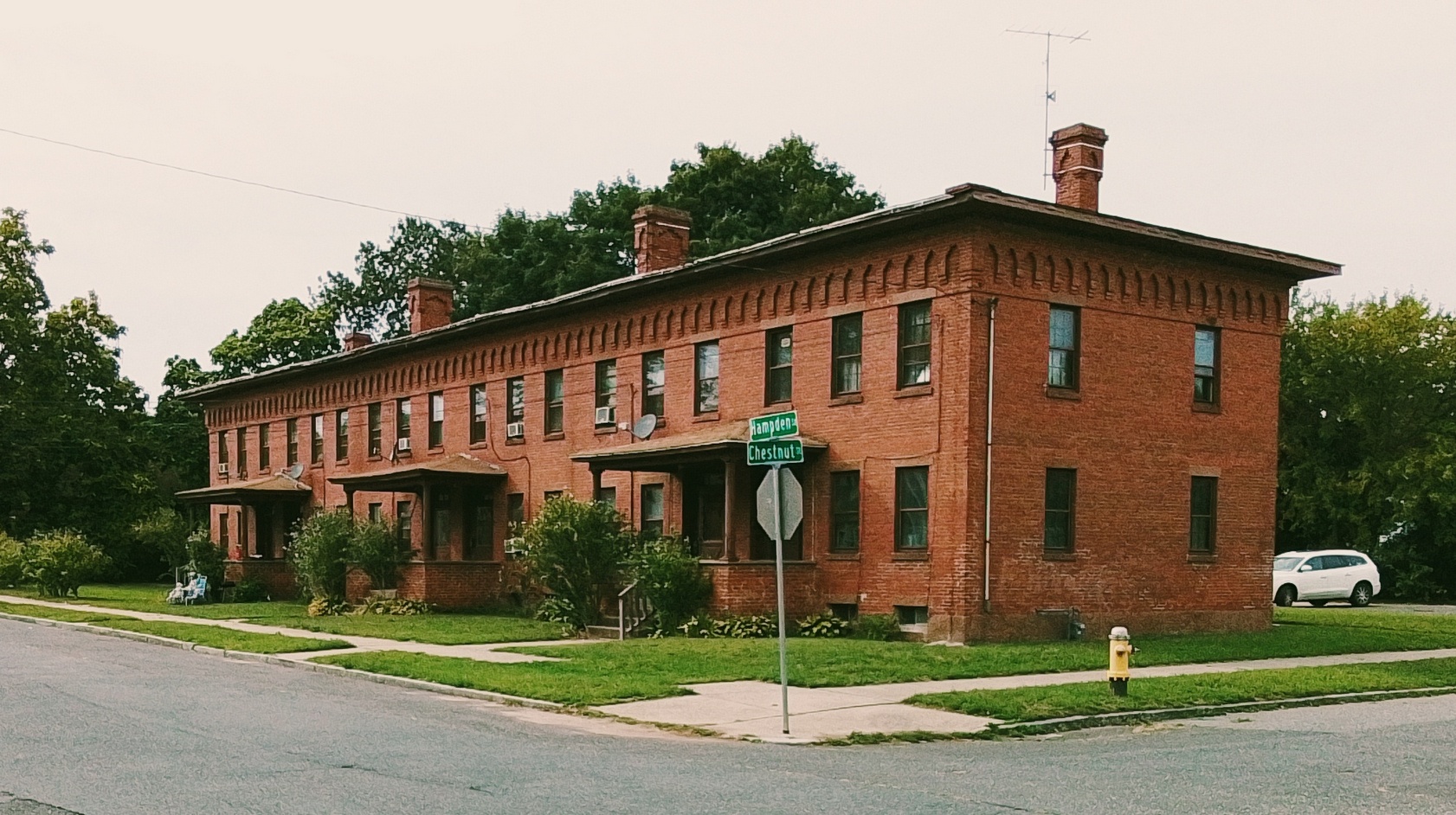
Mill Workers Homes
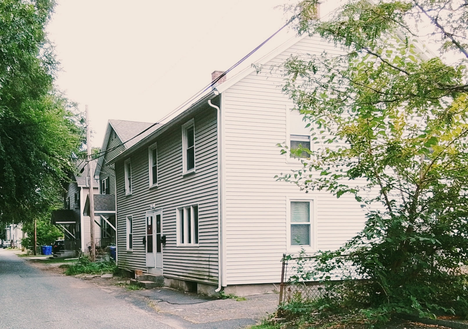
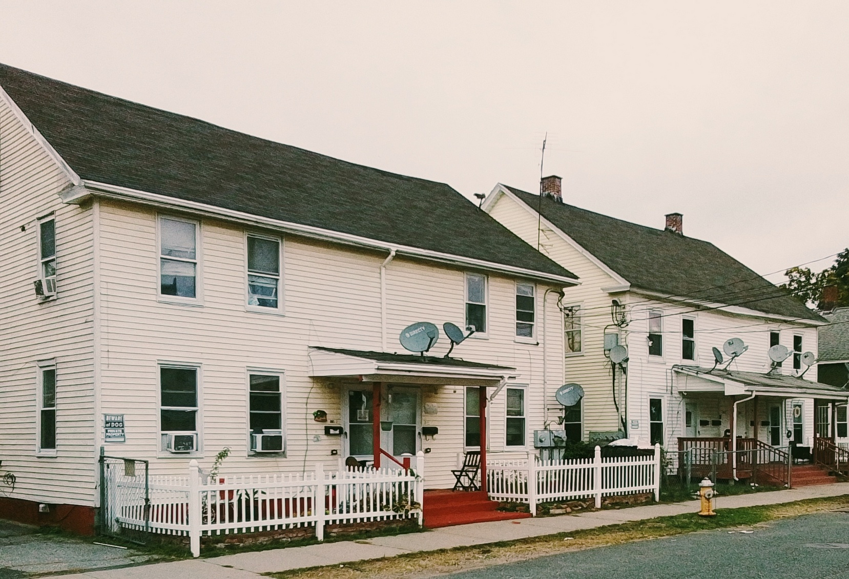
Hampden Street – 1850s eight cottages for the foremen of the mills – between Oak and Myrtle
Worcester Street at corner with Chestnut – 1859 four cottage homes
Water Street and Centre Street – many homes for mill workers
Hampden St at the corner of Holly 1905
Link to the retail page of the Indian Orchard Mills.
Sanborn map analysis:

Tour Route from west to east:

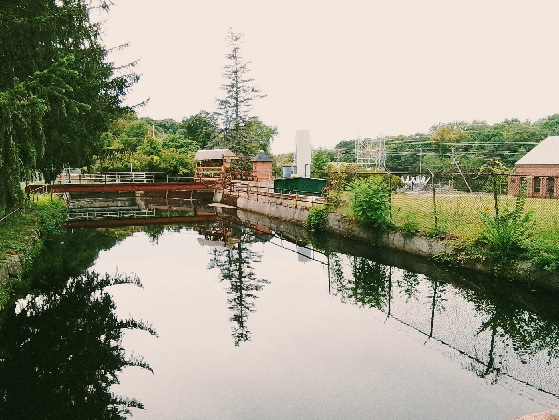


Gatehouse for the canal


Tree Grove at Skinner Park (Mount Holyoke Range)


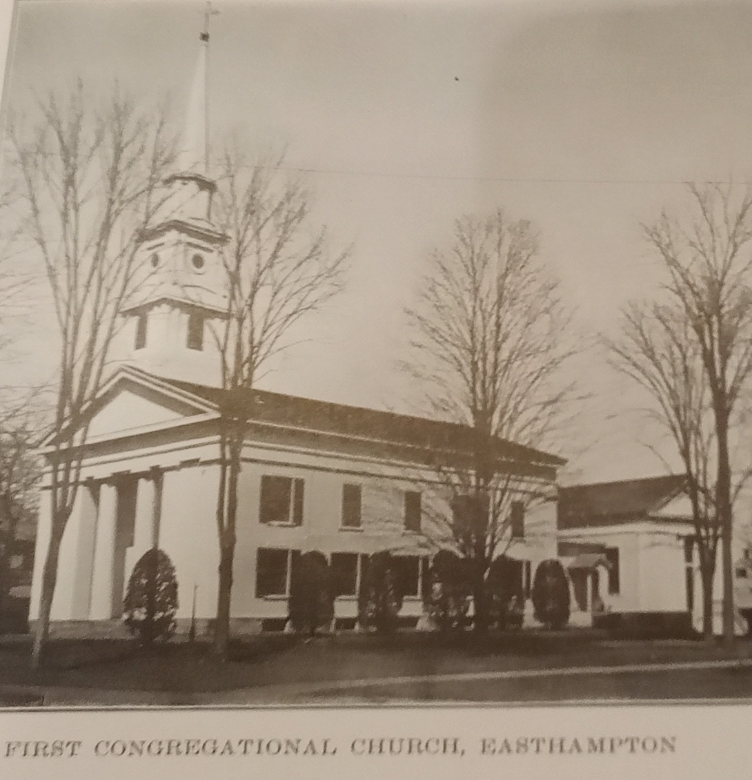
First Congregational Church of Easthampton

This church is located at the junction of Main and Manhan Streets (now Northampton Street). This is opposite the park.


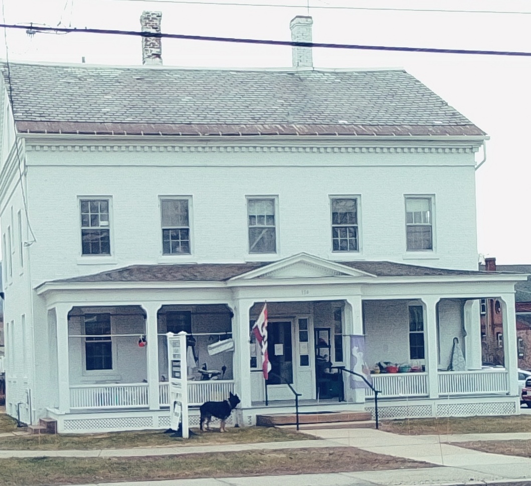

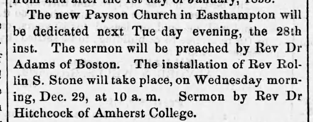
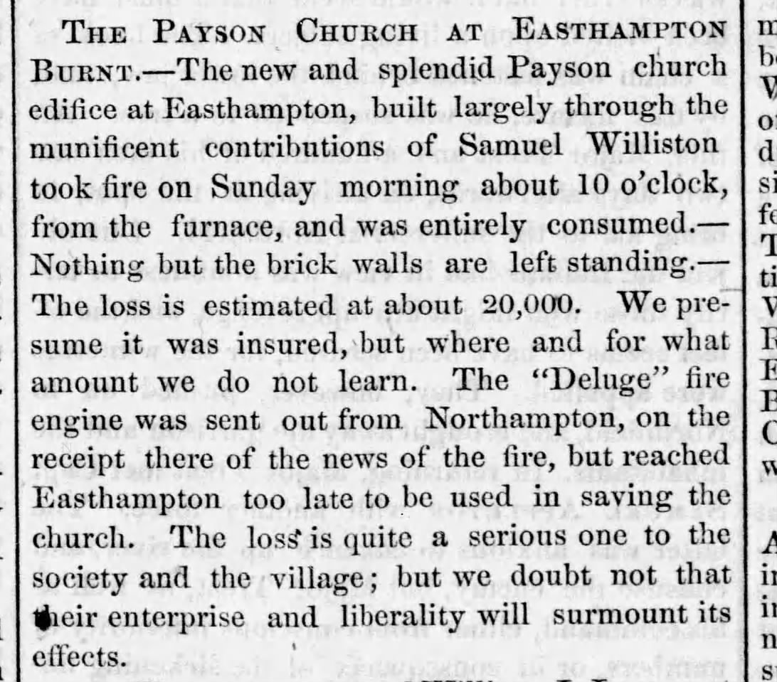
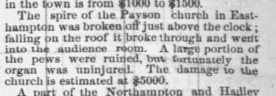
Payson Congregational is on Main Street near the corner with Union Street. EXTERNAL HISTORY and their WEB In January and in September of 1854 the church was burned to the ground. Yes, twice in a year the church was lost.
Thanks to Macris form EAH.20 for the data on the ministers.
| minister | ||
| Rollin Stone | 1852 | 1863 |
| Samuel Seelye | 1865 | 1877 |
| Alex Mariam | 1877 | 1883 |
| Charles Hamlin | 1883 | 1913 |
| Joseph Robinson | 1913 | 1915 |
| David Adams | 1915 | 1918 |


1855 rebuilt
Methodist Episcopal Church was formed in 1863. In 1900 it was on Main Street near Town Hall. It stayed there for decades.

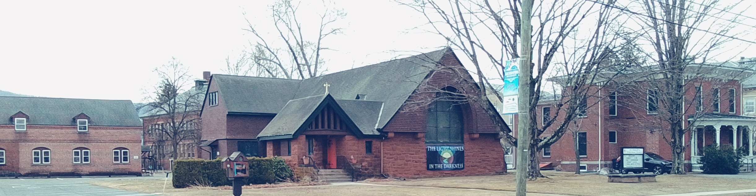
Saint Philip’s Episcopal Church in 1880s was on Union Street near the corner of Chapman. In July 24 1902 it was at a new location – 128 Main Street. (The cornerstone was lain in 1901.) EXTERNAL LINK and its HISTORY The congregation formed in 1871.

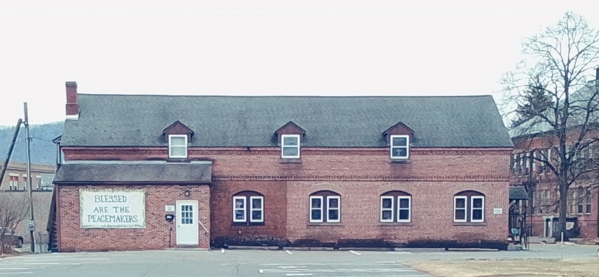
Thomas Sawyer House was to the left and was from 1867. It is the former Saint Philip’s Episcopal Church Parish Rectory. The Saint Philip’s Episcopal Parish Hall is in back. In 1929 the rectory is at 18 Park.
The rectory was razed but the hall is still there.