

Szot Park
Szot Park

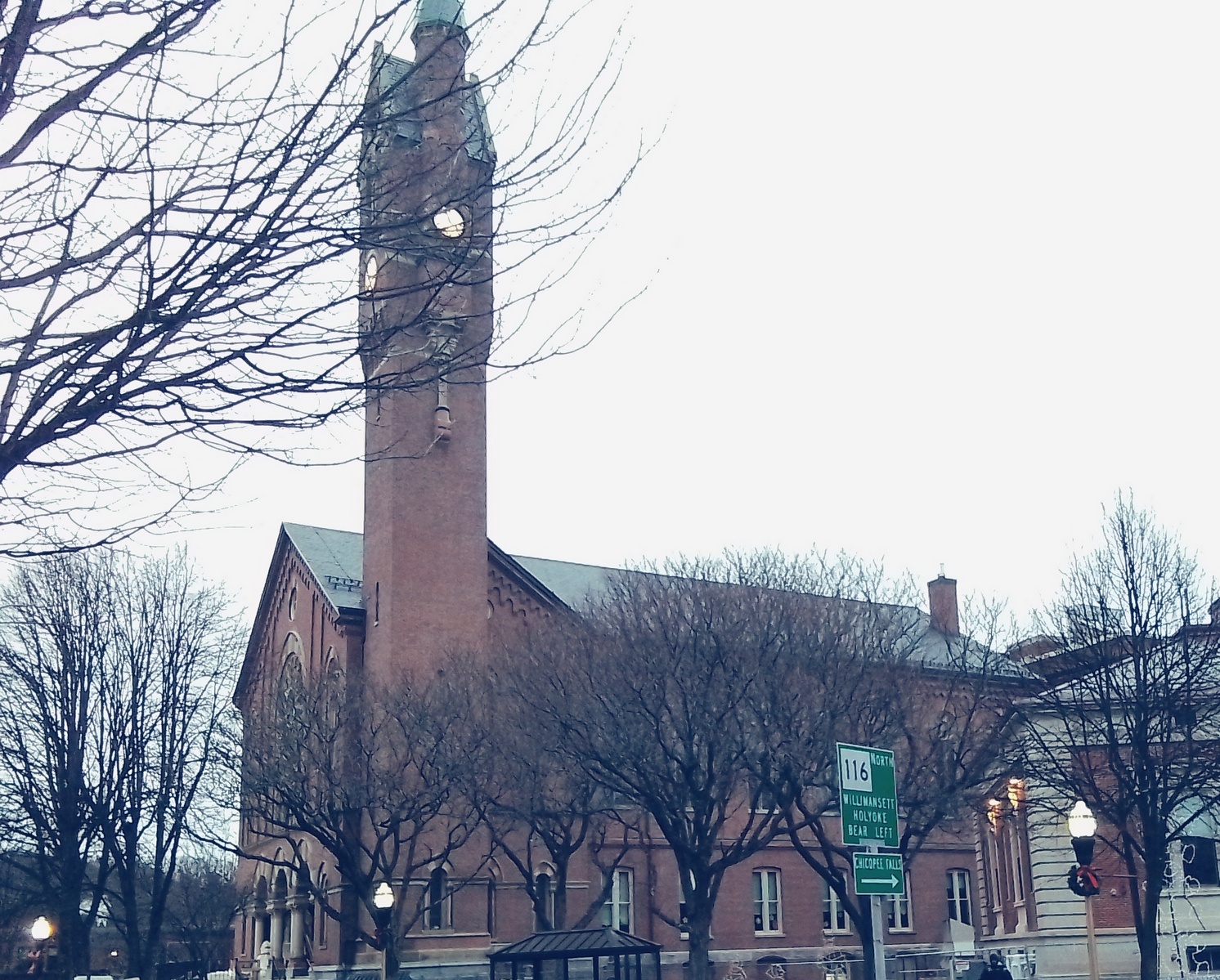
Chicopee City Hall was finished in 1871 as first a town hall. In 1890, when Chicopee turned into a city, the former town hall became a city hall. Much of the construction was done by workers from the Charles McClallan firm.
The tower is modelled after the Palazzo Vecchio in Italy.

Chicopee High School at Academy and Bonneville Streets
The Chicopee High School that was used from 1921 to into the 21st century is still in place bounded by Front, Academy, and Bonneville Streets. It is on land that was used by the Assumption Church until it burned in 1916. Plans were drawn up but the World War stalled all.


Chicopee High School at Front Street


John W Maloney – FINDAGRAVE


Chicopee Soldiers Memorial Park


Our Lady of the Annunciation Church had its parish set off in 1878, construction in 1879, and dedicated in October 2, 1880. Address is 83 Beacon.

Patrick Callery FINDAGRAVE is buried in the churchyard.


| pastor | starts | ends | burial |
| Patrick F Callery | 1878 | 1886 | FINDAGRAVE |
| John J McMahon | 1886 | FINDAGRAVE | |
| P H Gallen | at least 1910 | FINDAGRAVE | |
| FINDAGRAVE | |||
| James A O’Malley | 1933 | at least 1934 | FINDAGRAVE |
| John H Freel | at least 1950 | FINDAGRAVE | |
| FINDAGRAVE | |||


The rectory was at 42 Beacon Street. In 1934 it was at 79 Beacon.
A school was built to its left in 1925.

The Frank Look house at 70 Beacon is from 1891.

Father Matthew Temperance Society Hall is at 45 Pine. It was built in 1884 as Temperance Hall.

The Annunciation School Association is at 47 Pine. It was built in 1884 as the school.


Look Park

The John Warner house is near the gates.
The outdoor theater area is from 1928.


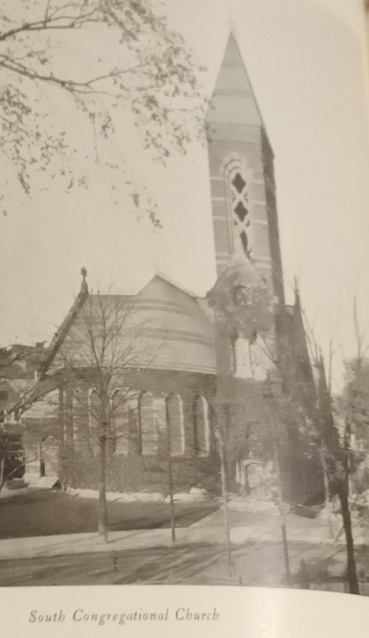
South Congregational Church is a 1875 Gothic Revival church. The architect is William Potter. Wikipedia


Saint Matthew’s Cemetery

Saint Matthew’s Cemetery is the oldest Catholic cemetery in Western Massachusetts. It is a diocesan cemetery of the Springfield Catholic Diocese. It was established in 1845 as a parish cemetery for the Saint Matthew’s Church of Chicopee. This church was in the Cabotville section of Springfield until 1849 when Cabotville became the town of Chicopee. Catholics that died in Western Massachusetts before 1845 would have been carried in carriage or train to Hartford or Boston to be buried.

The Hartford Connecticut location is the Holy Trinity Cemetery which is now in the back of the Saint Patrick’s Cemetery (at 470 Garden Street). The cemetery is from 1839. This was the first Catholic cemetery in Connecticut. FINDAGRAVE The Holy Trinity Church is from 1829. It does not exist any more but it was the first Catholic church in Connecticut. EXTERNAL LINK
This cemetery can hold 8000 burials and it thought to be filled. Notice that there are about only 400 names on the scarce amount of stones. Paupers could not afford stones.
The Saint Matthew Parish was started in 1840. It was the first Catholic church in Western Massachusetts and as such would have served all Catholics of Western Massachusetts. The Saint Matthew Church was built as a wooden church in 1843. It would be replaced as a parish and as a church in 1859 when Holy Name Church was built.


Springfield Central Library – 1912

Quadrangle