
[Find South Race Street on your GPS. Stop where the spillway is off to the side on the right.]
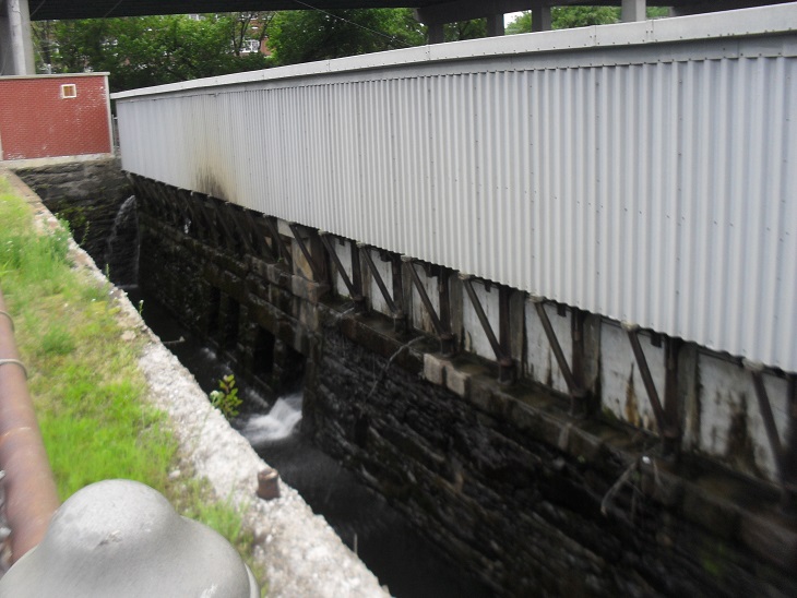
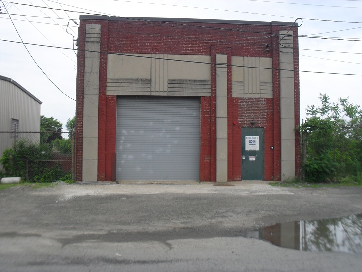
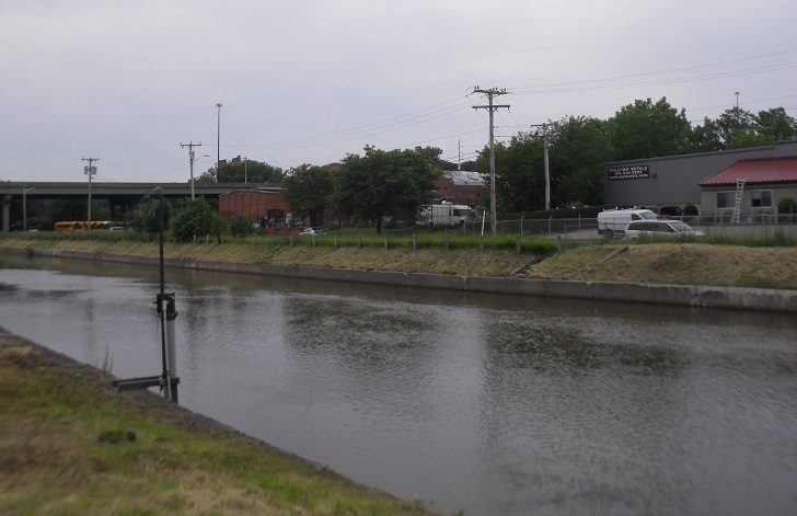
This is the juncture of the second and third level canals. Spillway 3 in front of you is controlled remotely but notice the use of the low technology wooden boards. There is a medium sized turbine in the red brick building to your north east about 200 feet away. To the east of the spillway across South Race Street is the start of the Third Canal. Notice the water level is lower than the Second Canal. The drop here is 12 feet. There were five original mills at this location by the 1870s. All that is left is the Germania Mill 2 just beyond Interstate 391 to your south.
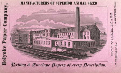
To your right hand and a little back was the very large Holyoke Paper Mill.
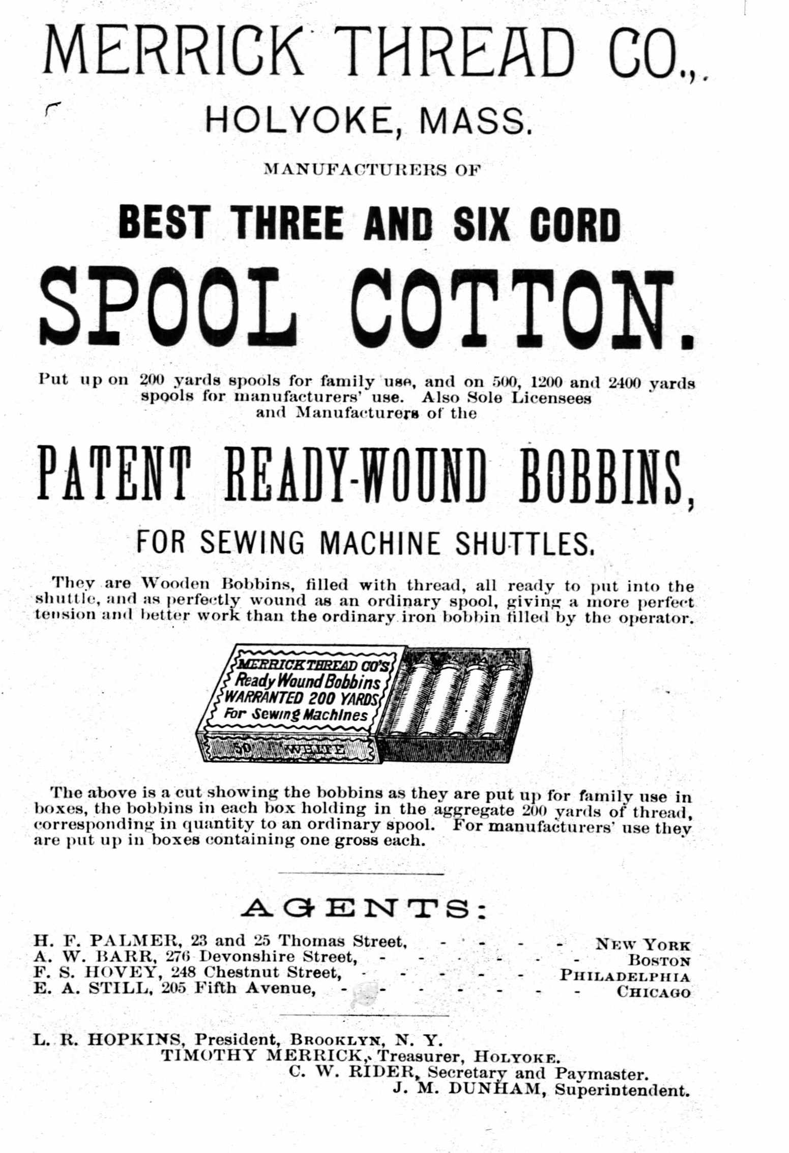
The Holyoke Manila Company was in front of you to your right. The Germania had its mill number 1 to your left front. The Connor Satin was to your left and a little back along with the New York Wool Mill. This spillway is the start of the Third Level Canal. This canal is the shortest of the three but is the one with the most safety features. The Holyoke Gas and Electric engineers know exactly how the canal operates and in a crisis can use digital devices and mechanical devices to amend problems quickly. One small safety feature is apparent as one looks east along the Third Level – a small overflow channel along Main Street. If you stay here long enough you will see water flowing both into and out of this channel as the water level changes slightly in the main canals. It is one of many safety features. It formerly was the race below the Merrick Thread Mill on Main Street.
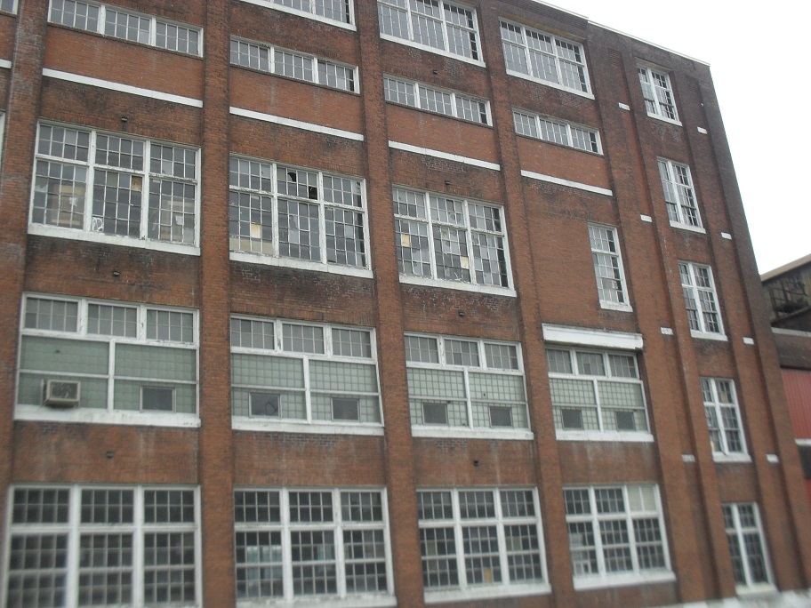
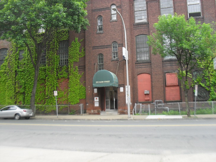
The Merrick Mill number four is to the northeast. Across Main Street from that mill is Merrick Mill number one. They were part of the largest thread producer in the United States. They had two more mills near the Skinner Silk Mill.
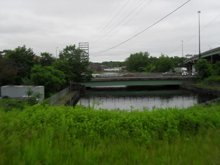
All three level canals have different dimensions. The First Canal starts as 140 feet wide and 25 feet deep. It tapers along its length as it passes by races. Since it loses water to the races, it needs to taper in order to not lose water height too fast. The Second Level Canal at the southwest end is also 140 feet wide but by the time it reaches its end in the southeast it is 100 feet wide. It is about 15 feet deep. The Third Canal which you are at averages about 100 feet wide and 10 feet deep.
Sanborn map analysis:
Sanborn 1889 map shows the canal watchman’s dwelling