Private tours can be given. Also a one hour indoor presentation can be given.

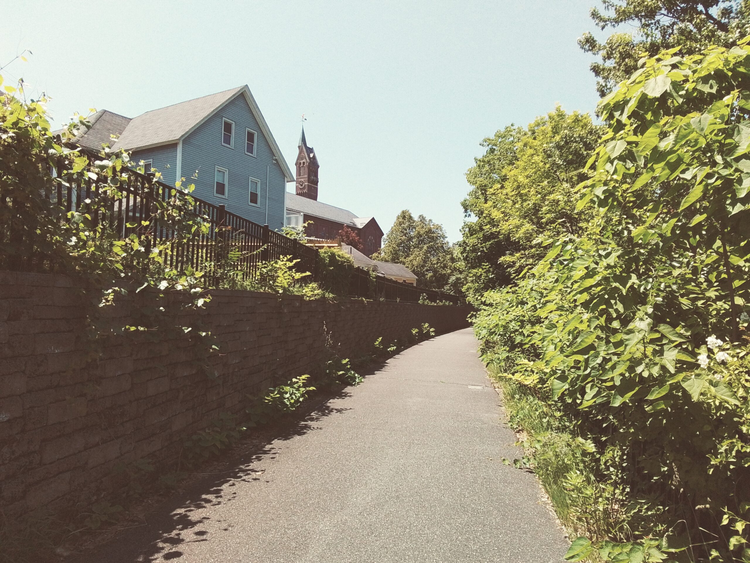
The Chicopee Canal Walking Tour starts at the Chicopee Public Library. Walk down the back edge of the backyard of the library grounds. Slide around the iron fence and walk down the path to the canalside path.
stop 1 – Chicopee Canal Dam
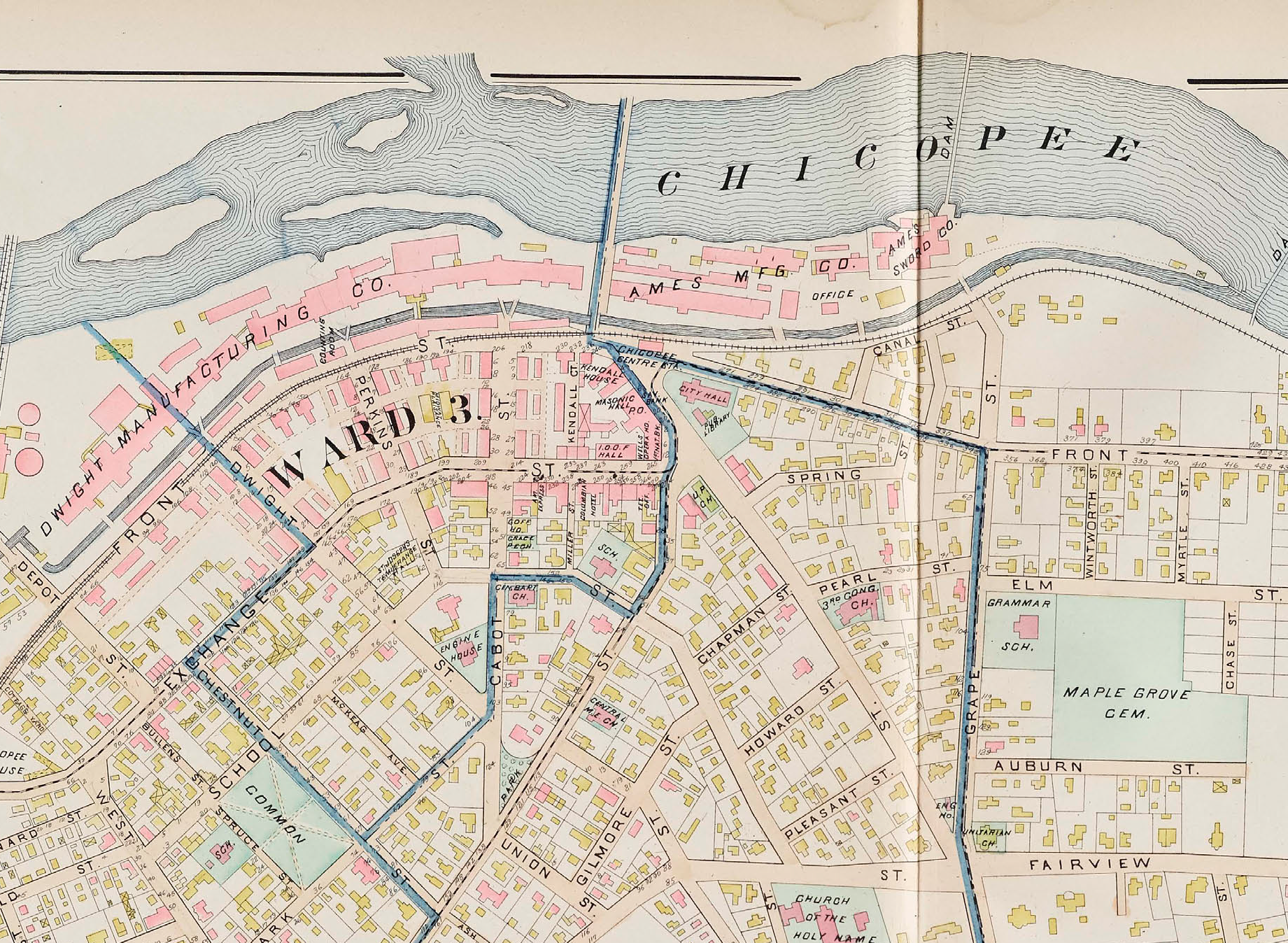
There were two canal systems in Chicopee. The first was built in 1823 along the Chicopee Falls section of the Chicopee River. That canal and dam are now gone. A second canal was built in Chicopee in 1832 (started April 1 and water enters it December 8) along the lower part of the Chicopee River. Its dam and canal still exists and is visible off the dirt path that once held the railroad tracks. (LOCATION)
The Springfield Canal Company built this canal and it is called the Springfield Canal. The company sold water rights to mill that wanted to develop along the canal.
Images of some of the water right deeds.
stop 2 – Chicopee Canal Walkway
The Chicopee Canal now has a walkway (LOCATION) that extends opposite the Ames Factory site. It is on the former railroad track of the Chicopee River. Hopefully some day it will be extended more to the east and west.
stop 3 – Ames Manufacturing Company
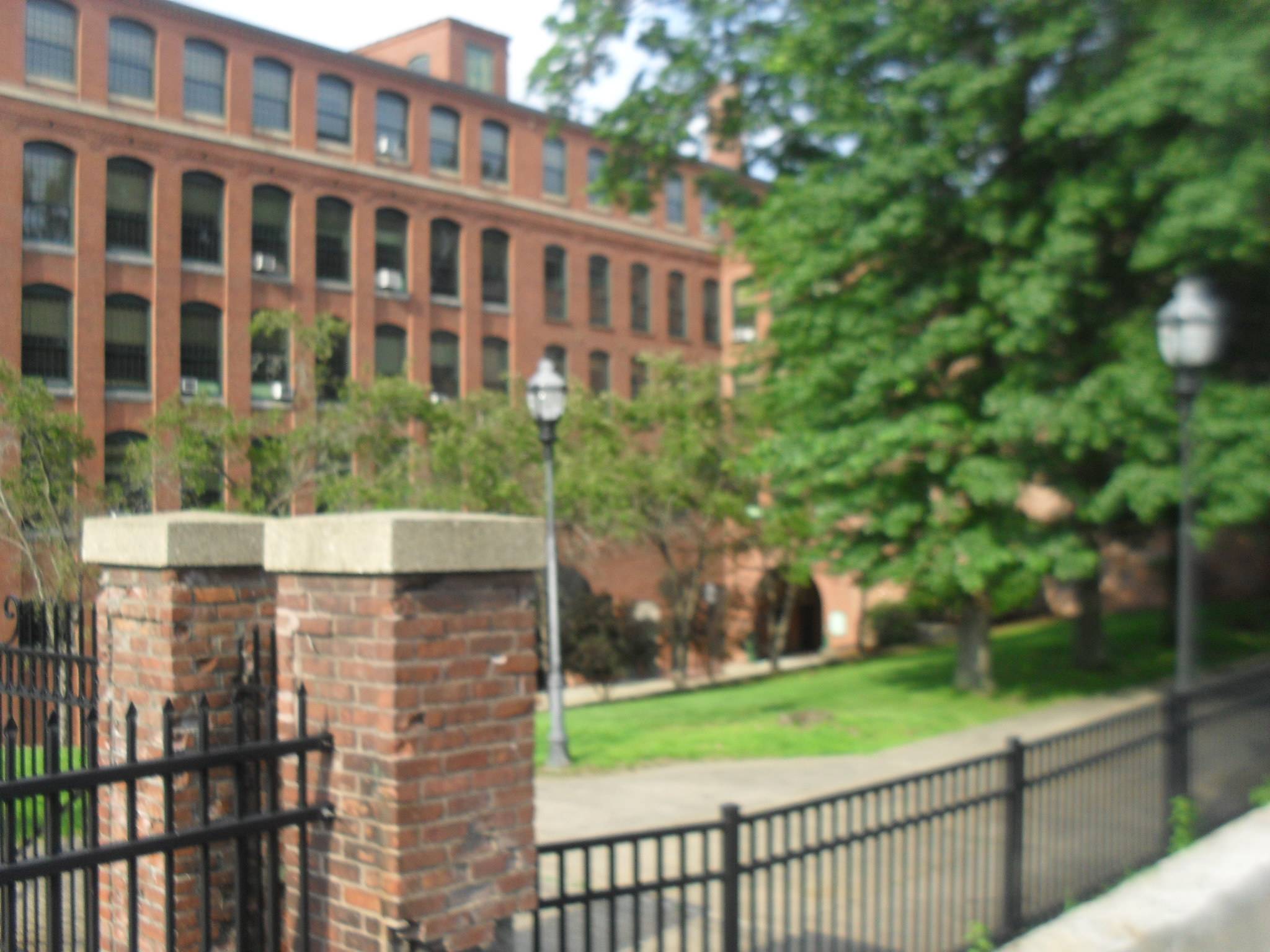
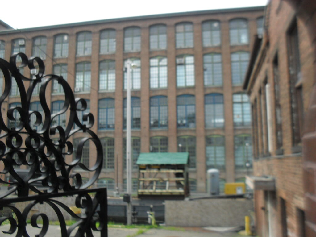
The Ames Factory is spread across 5 buildings. (LOCATION) A couple of the buildings have been made into housing.
The Ames Factory came in the 1829 to Chicopee to make shovels and tools. On March 28 1833 they were along the canal and were now making swords and cannons.

Behind you at 3 Grape Street is the home of John Chase – the agent for the canal.
stop 4 – Chicopee Canal
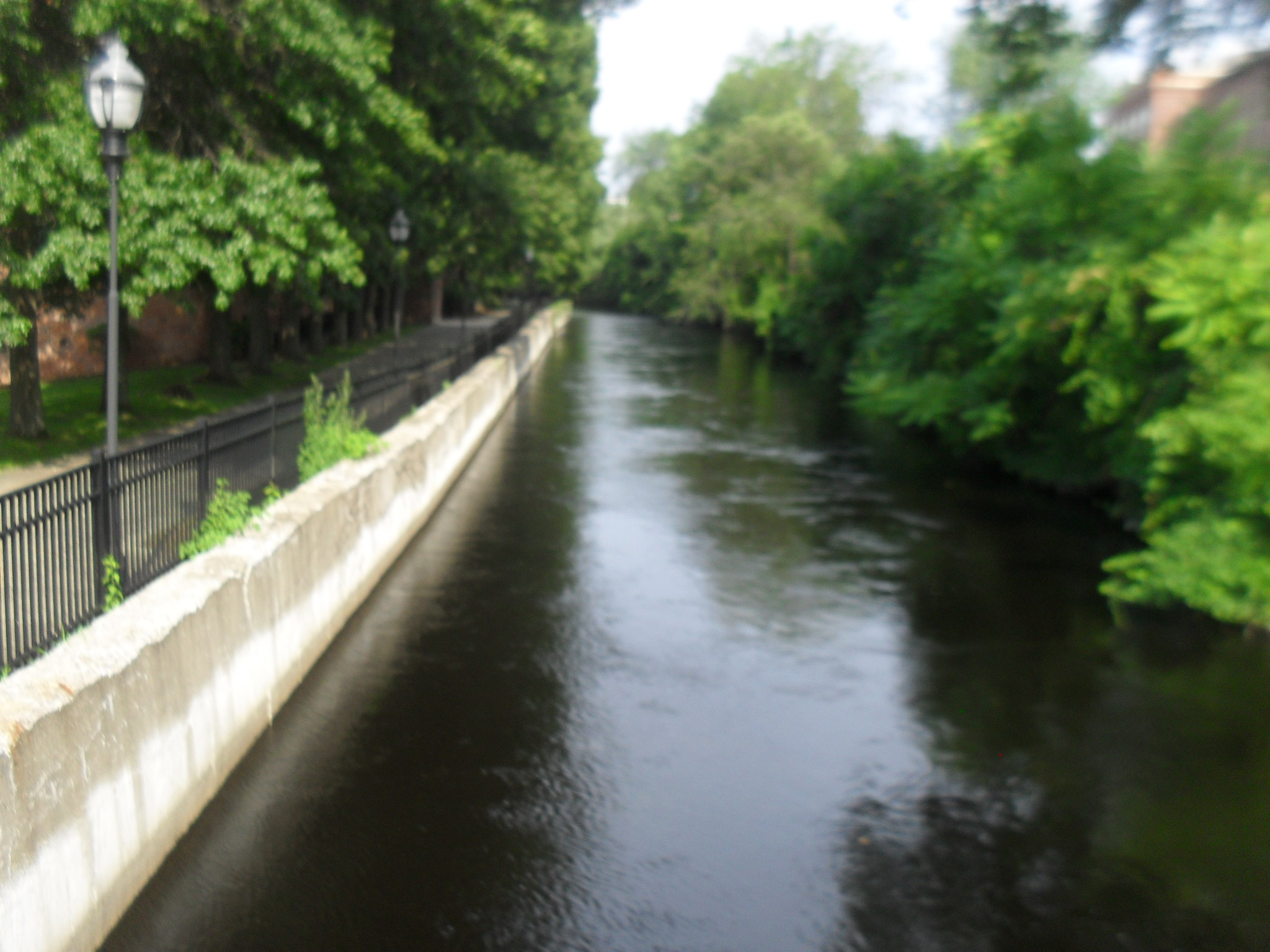
A great view of the Chicopee Canal is had from the bridge. (LOCATION) It is neither a wide nor a deep canal but does still have a steady flow.
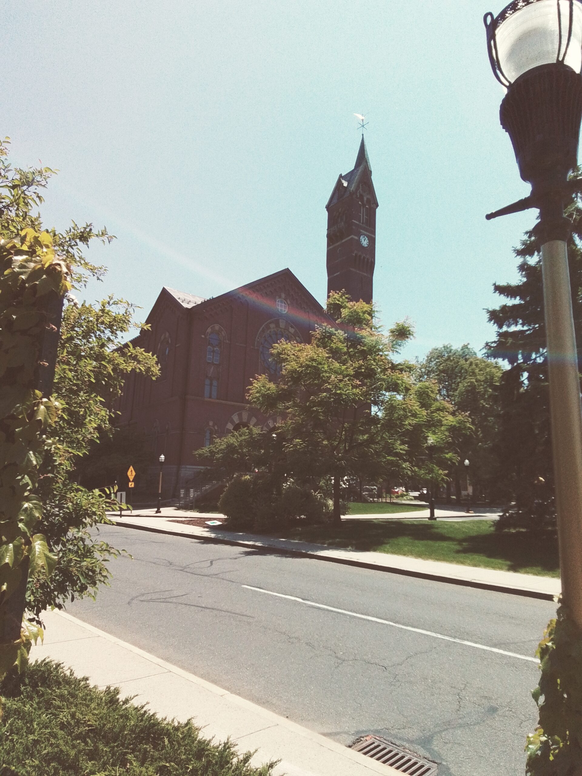
The Chicopee Center Canal comes to an end at the Connecticut River so at this point there is still a ways to go. This is where the Chicopee train station was and also notice those two trees. At this point, catch the view of Chicopee City Hall.
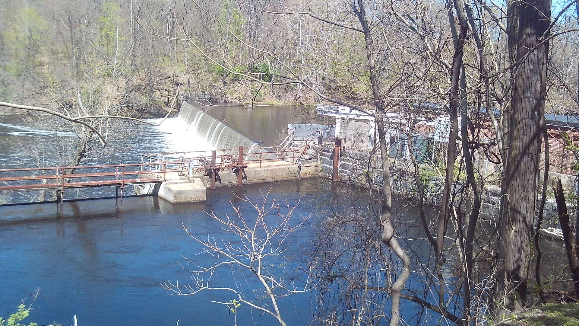
stop 5 – Chicopee River and its Dams
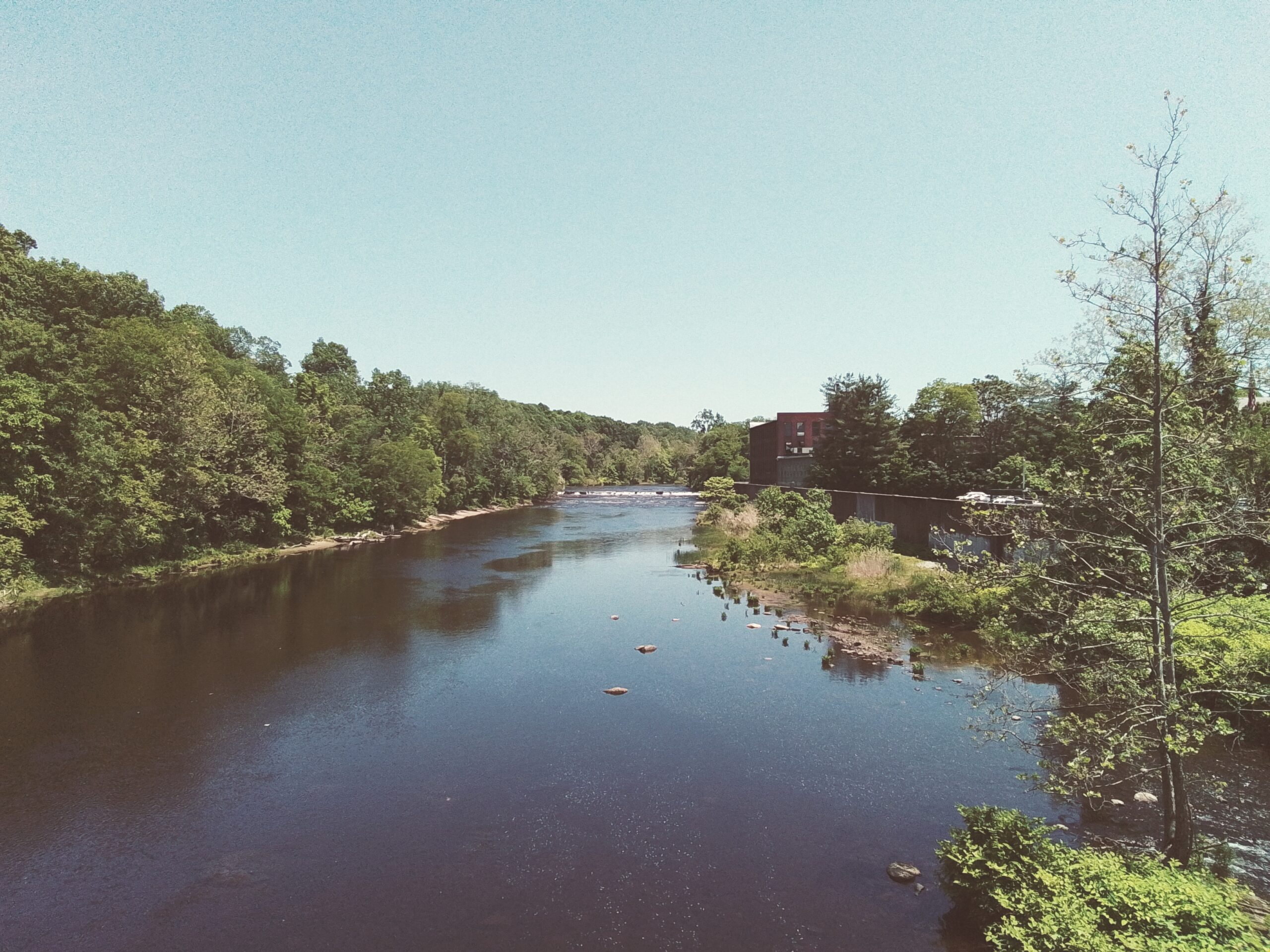
Standing on the Davitt Bridge, that breached dam that you see in the distance is the second one built in this section of the Chicopee River. (LOCATION) Three dams were built in the Chicopee Falls section of the city along that canal. This second dam in this section was made in 1834. Its function was to feed four small mills with water. It was damaged in a 1888 flood and never fixed.
stop 6 – Chicopee River Raceway
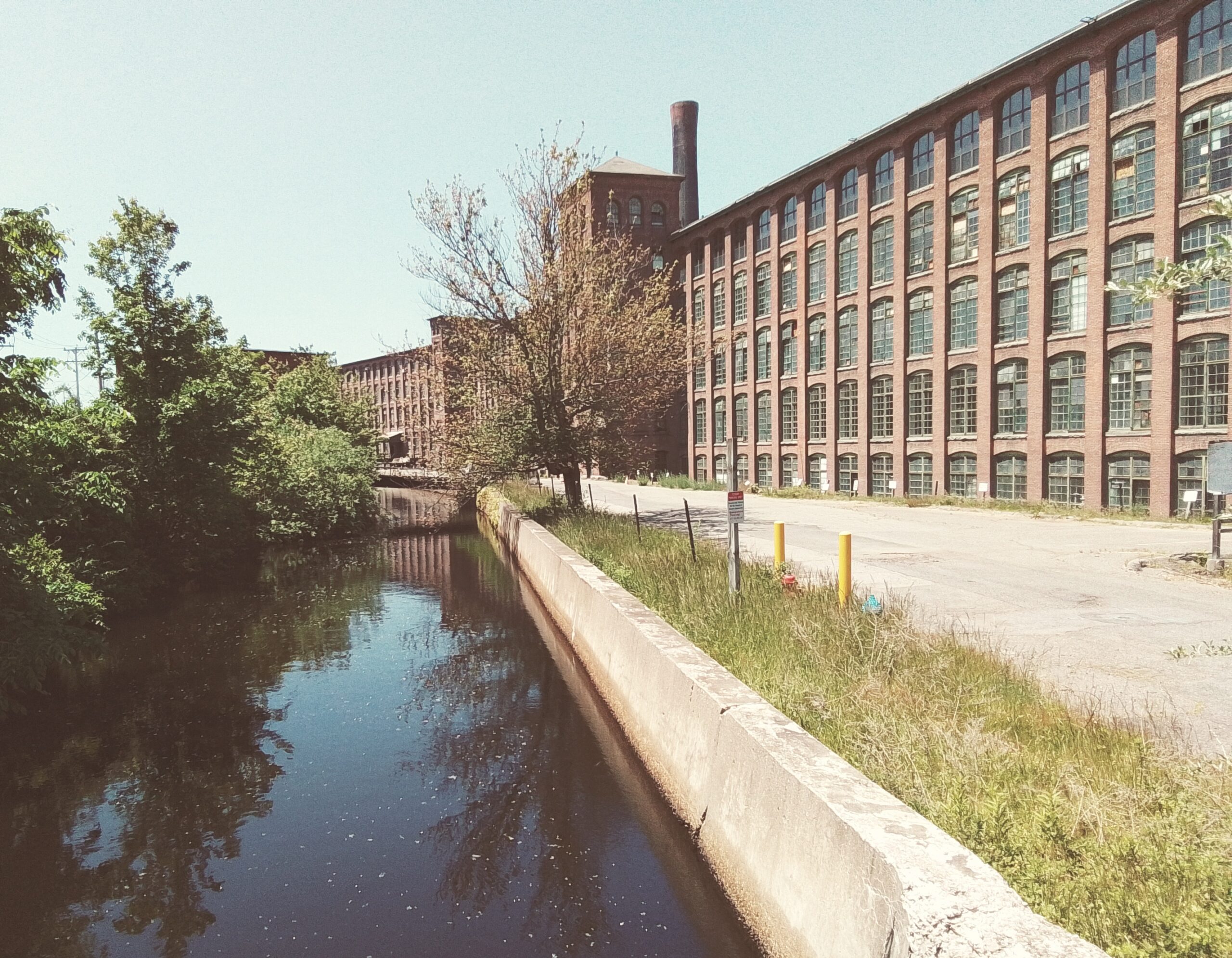
The Chicopee Canal had many raceways. (LOCATION) A race is a tunnel that transports water from a canal under a mill and out to another body of water. The reason for a race is to have the flowing water hit against a turbine to generate hydromechanical power. The raceway to the west of the bridge is now from a turbine that generates hydroelectric power.
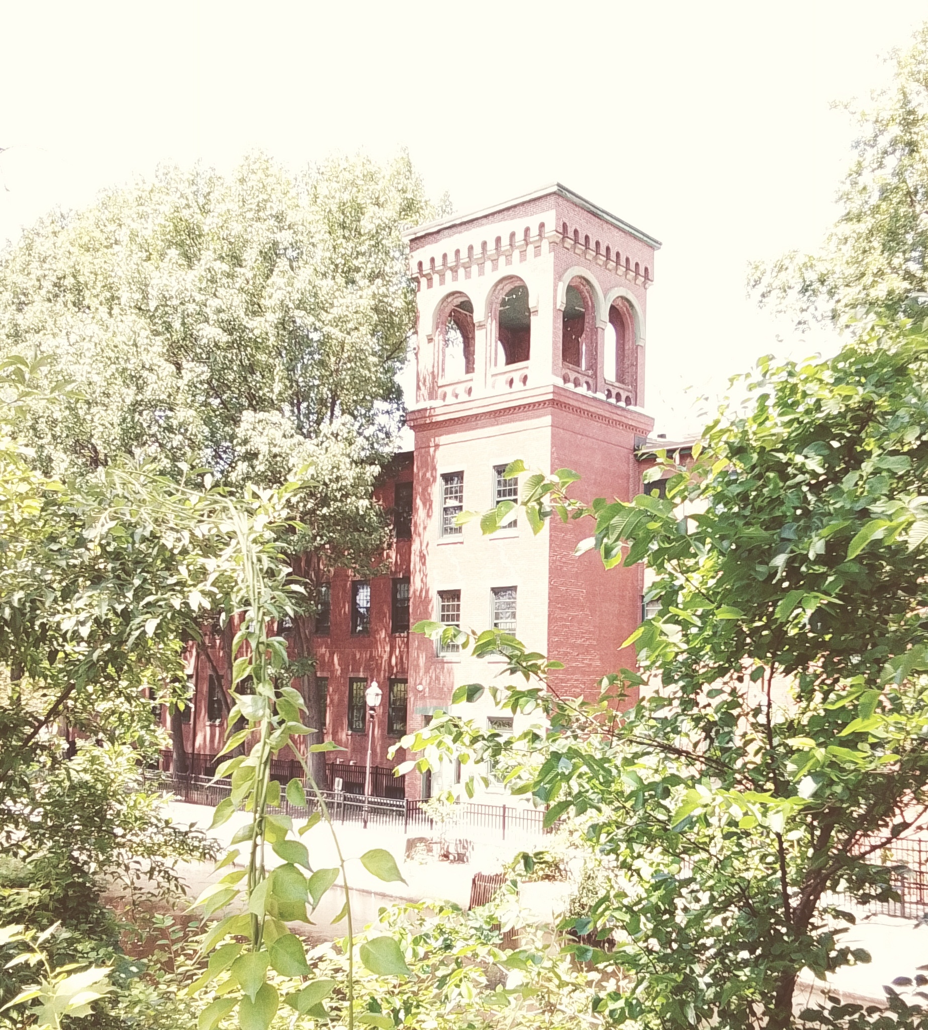
stop 7 – Cabot Mills
None of the two original Cabot Mills now exist. The mill to the west of the bridge was built in 1912 long after the Cabot Mill functioned. (LOCATION) The Cabot Mills were the first mills in this section of Chicopee. They had worker housing across the canal but even that is not here any more.
Thanks to MACRIS for the following information:
| mill | ready | first used | |
| Cabot 1 | June 12 1834 | ||
| Cabot 2 | July 23 1835 | ||
| Perkins 3 | May 1 1836 | March 1 1837 | |
| Perkins 4 | July 1 1837 | April 24 1838 | |
| Dwight 5 | 1838 | March 1 1841 | |
| Dwight 6 | June 8 1841 | February 24 1842 | |
| Dwight 7 | June 8 1844 | May 15 1845 | |
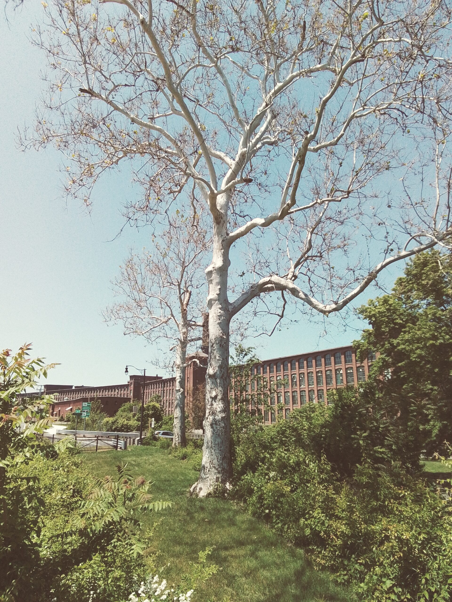
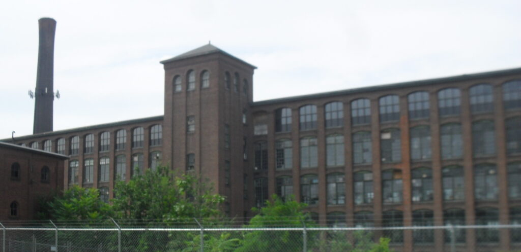
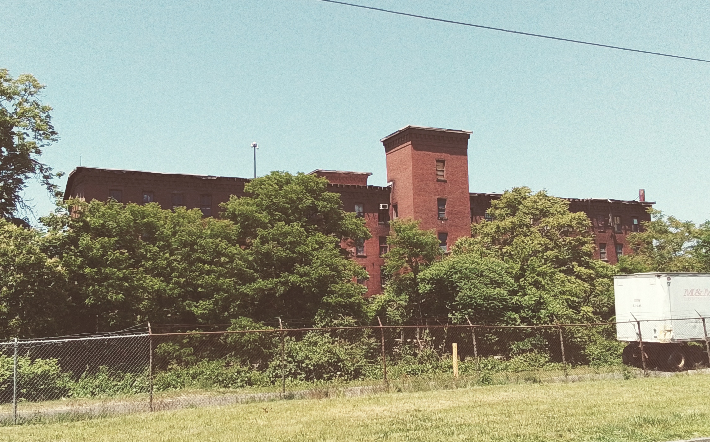
stop 8 – Perkins Mills
The Perkins Mills came next to this section of Chicopee. They built here in 1836. They also built two main mills and they built two secondary buildings in the front of the canal. (LOCATION) These buildings did not use canal power nor need it but they were for processing cotton before and after the production process.
Lewis Hines image of boy at these gates. (1912) – IMAGE
The storage building to the west is the only original structure left from the Perkins era and all other buildings are from when Dwight consolidated all production under their name.
In 1848 production in the Perkins was 428 looms and 14,973 spindles.
stop 9 – Dwight Mills
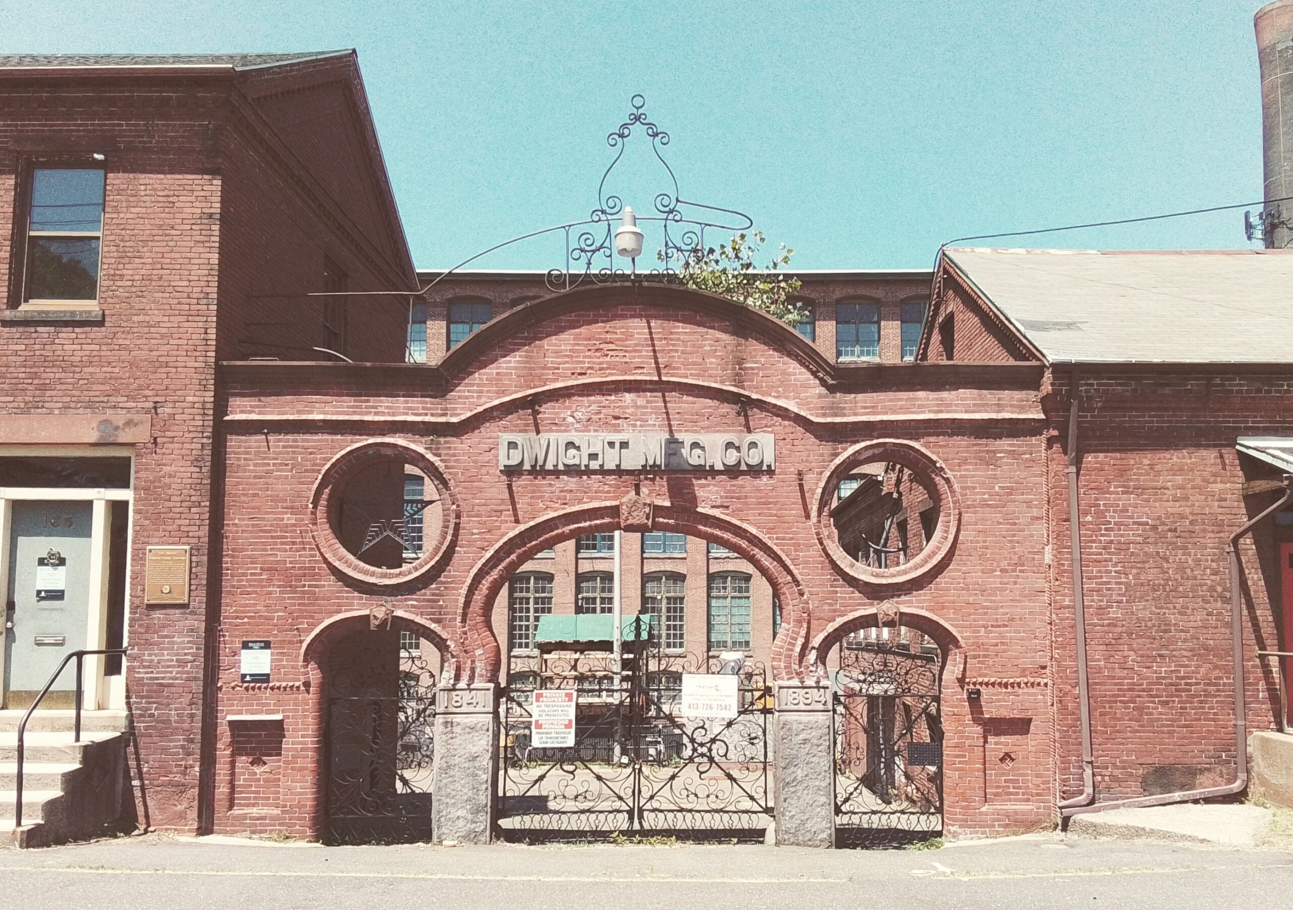
The Dwight Mill came in last of the three mills. They started here in 1841. The had three major mills between the canal and the river. These thusly used hydromechanical power.
Only mill number 7 is the original. (LOCATION)
Edmund Dwight the founder of the canal and the company died in 1848. FINDAGRAVE – in that year in the three mills there were 786 looms and 28,576 spindles.
In 1856 the Dwight Manufacturing Company was created as a combination of Cabot, Perkins, and Dwight.
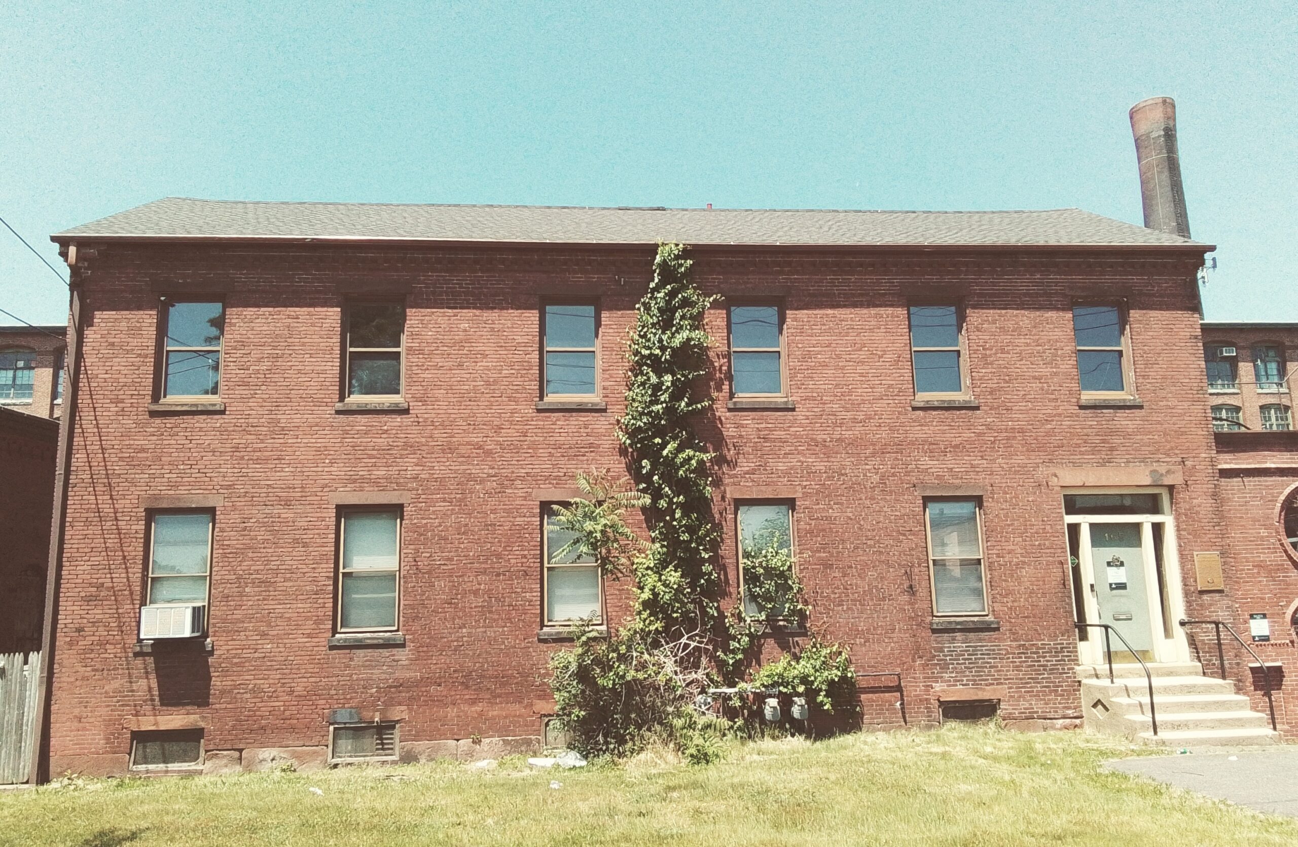
stop 10 – Dwight Manufacturing Housing
The Perkins and the Cabot Mills have lost their workers’ homes through the years but Dwight Mills still have all of their homes. This area is quite old. The streets with the most houses from the factory and canal era are on Front, Exchange, and Dwight Streets. (LOCATION) These are called Springfield Canal Company Workers’ Housing and Springfield Canal Company Boarding Houses.
stop 11 – Cabotville
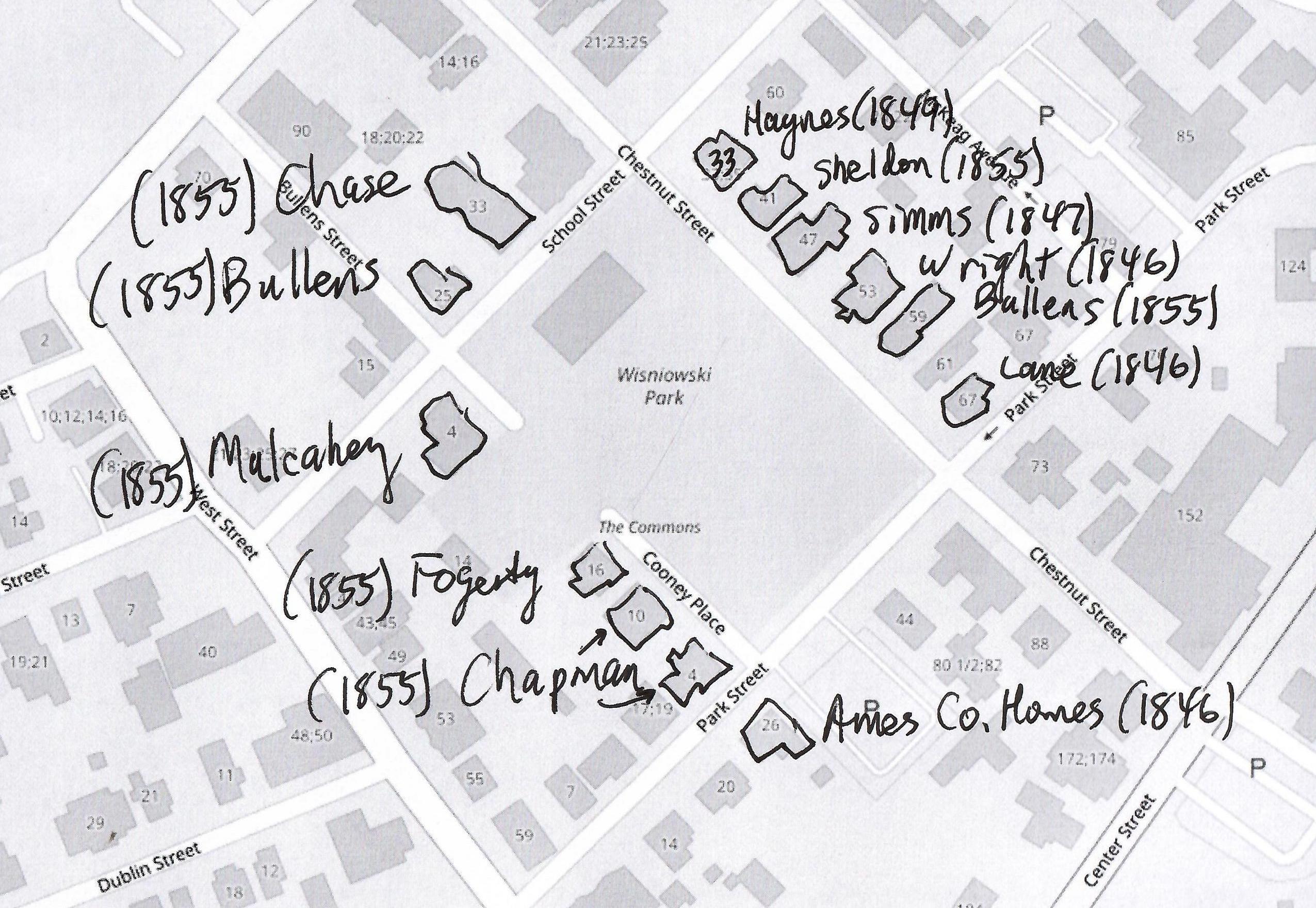
The original settlement in this area was centered around the Cabotville neighborhood. (LOCATION) It includes a park and many homes and once included a school. The streets that form the area are West, Park, School, and Chestnut Streets. Most of the homes that you see are from the 1850s to the 1870s.
stop 12 – Ames Manufacturing Houses
The homes around the central portion of Front Street were made by the Ames Factory for their workers. (LOCATION)
stop 13 – Chicopee Falls Canal

As a side trip you might want to visit what is left of the old Chicopee Falls Canal. (LOCATION) Nothing is left of the waterway itself but some of the latter additions to the mill complexes are still there.
There is a phase two of the development of the River Walk.
Sanborn map analysis of the Chicopee Canal
Sanborn 1910 map – part A – part B – part C
Sanborn 1915 map of Canal area – part A – part B – part C