
Pictures of the Gates on Northampton Street for Entrance for those Driving Northward into Mountain Park.
 |  |
 |  |
 | |
 | |
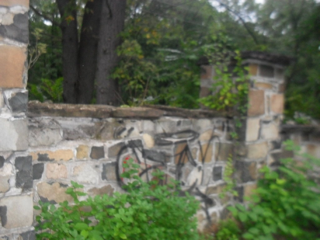
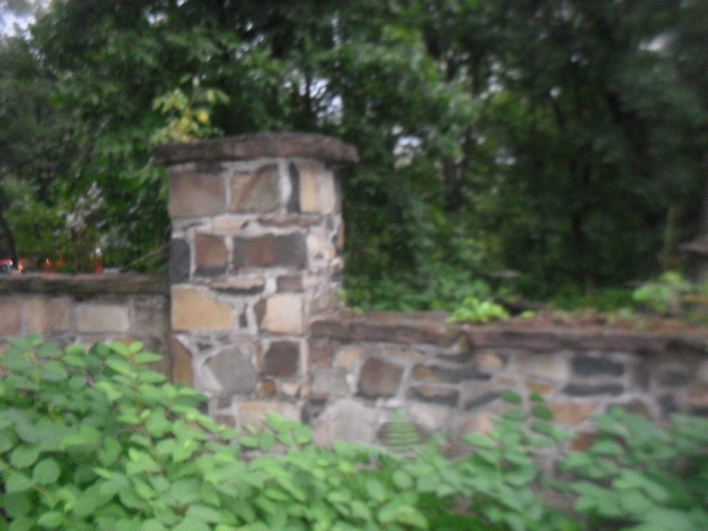
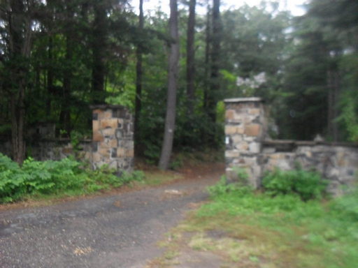
Pictures of the Gates on Northampton Street for Entrance for those Driving Southward into Mountain Park.


Pictures of the Gates on Northampton Street for Entrance for those Driving Northward into Mountain Park.
| |
| |
| |
| |
Pictures of the Gates on Northampton Street for Entrance for those Driving Southward into Mountain Park.
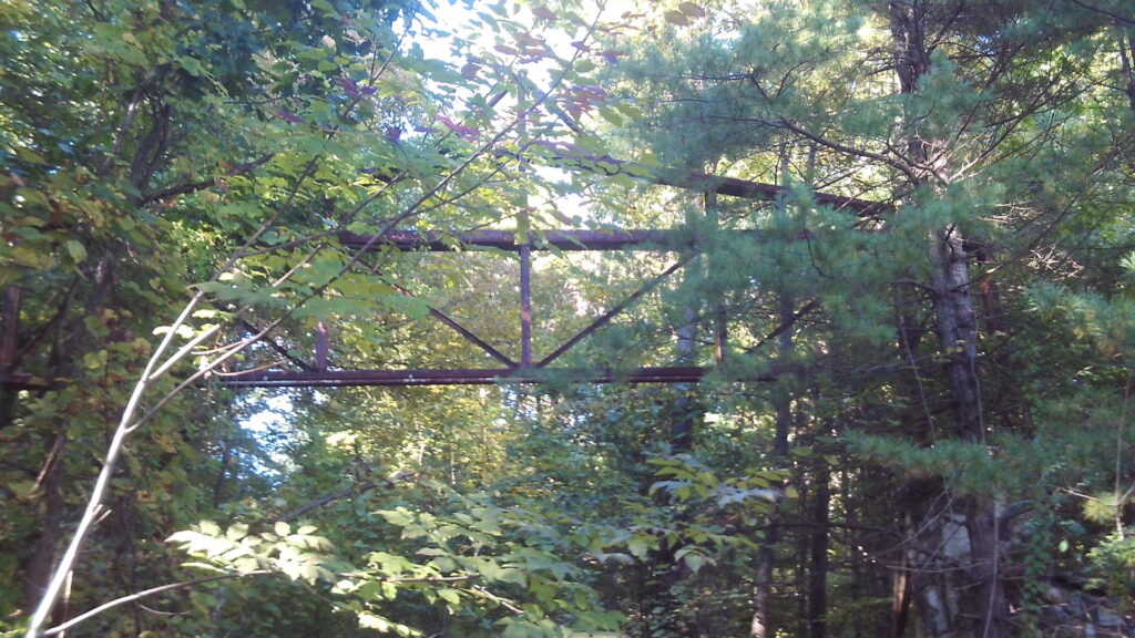
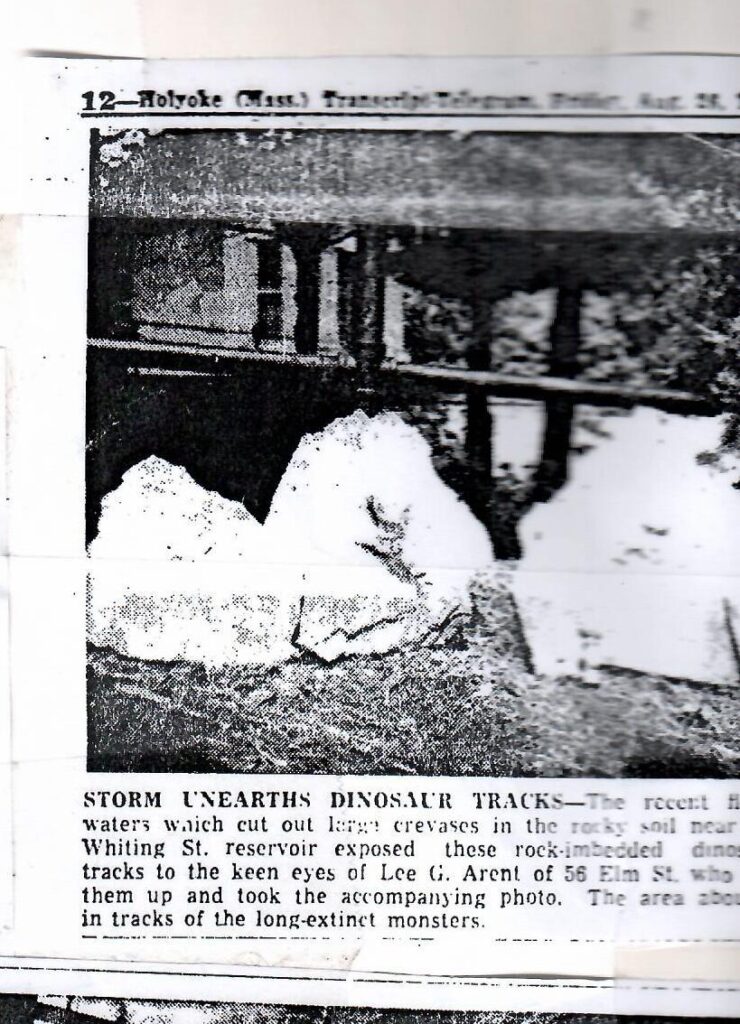
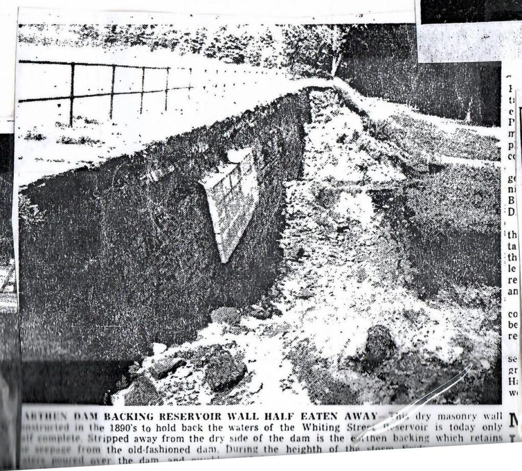
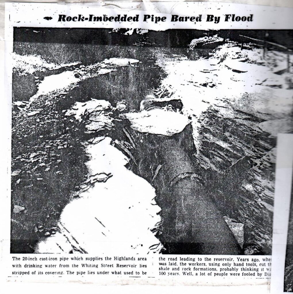
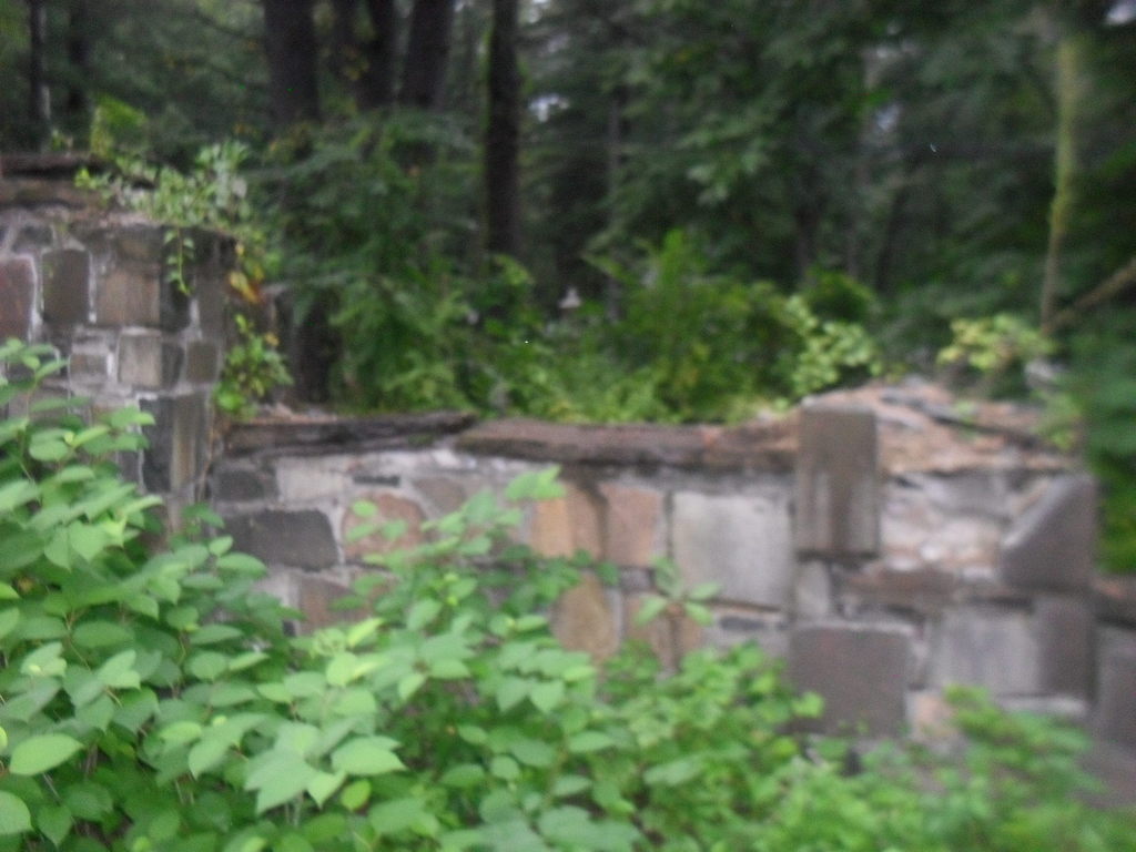
Whiting Street Reservoir after the Hurricane of August 18 and 19 1955
 |  | ||
 | |||
 | |||
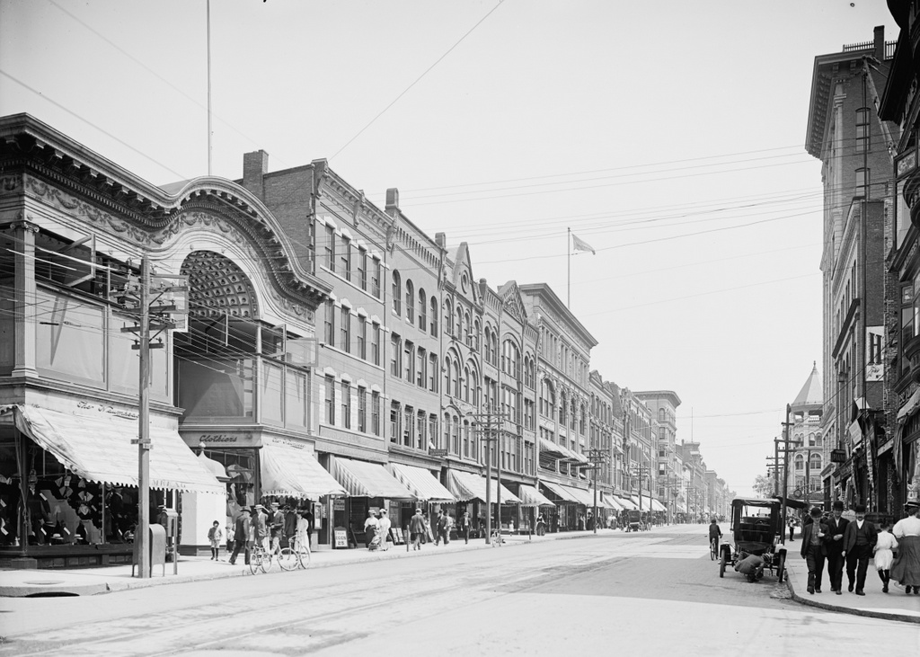
The Lynch Brothers Block at 313-319 High Street was a two and four floor block.
In 1922, at 313 High was Brown’s Bootery.
By 1930 it had become the next home of the YMHA and the YWHA.
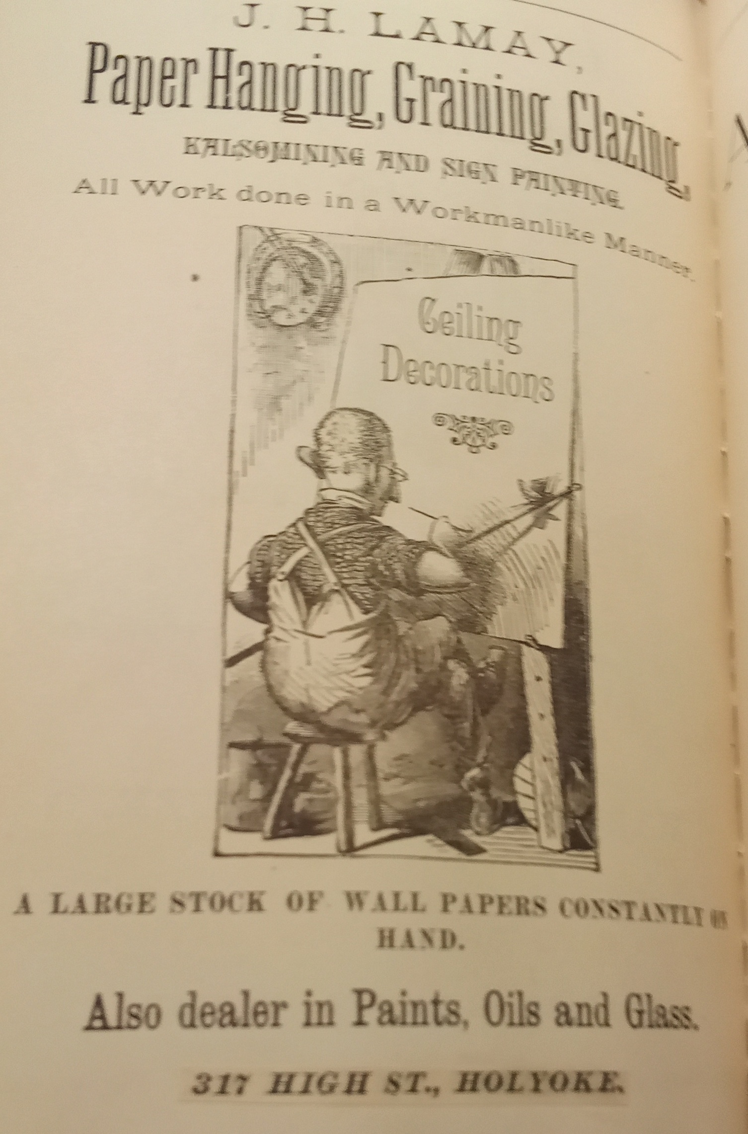
In 1883 at 317 High was Lamay Paper Hanging.
Sanborn map analysis:
Sanborn 1884 map it is a 4 floor structure with some tiny buildings to its side
Sanborn 1889 map shows the same
Sanborn 1949 map shows a two and four floor block
Sanborn 1956 map shows a two and four floor block
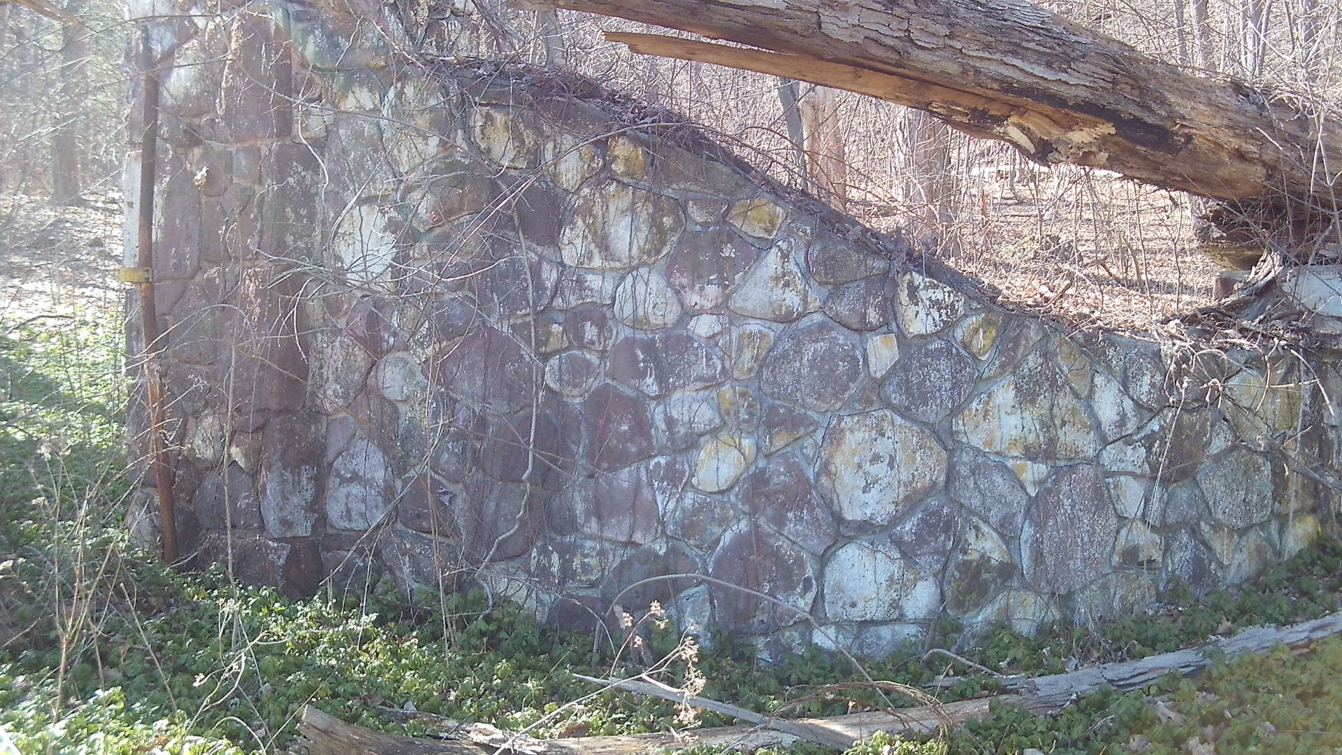
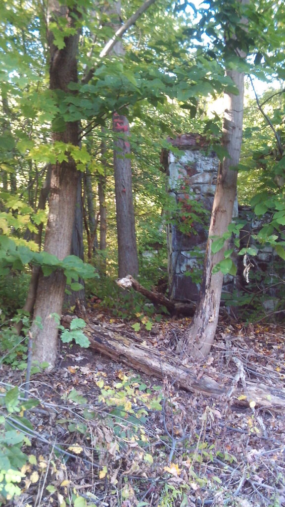
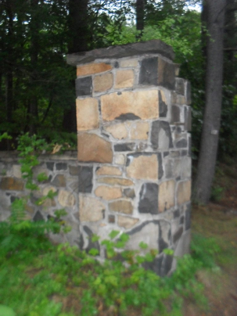
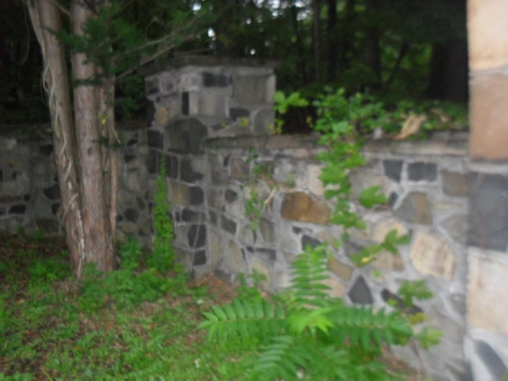
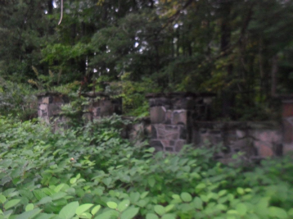
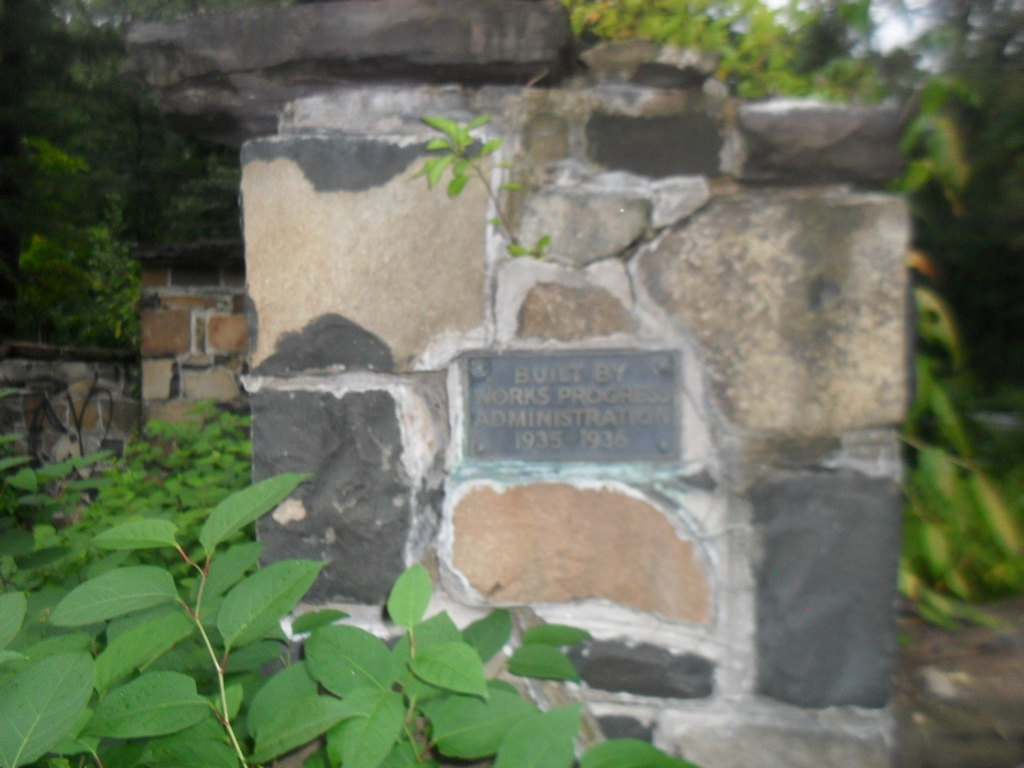
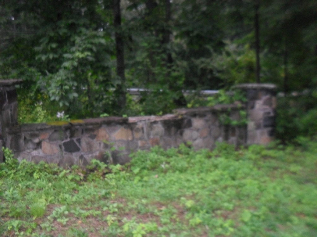
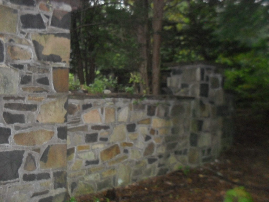
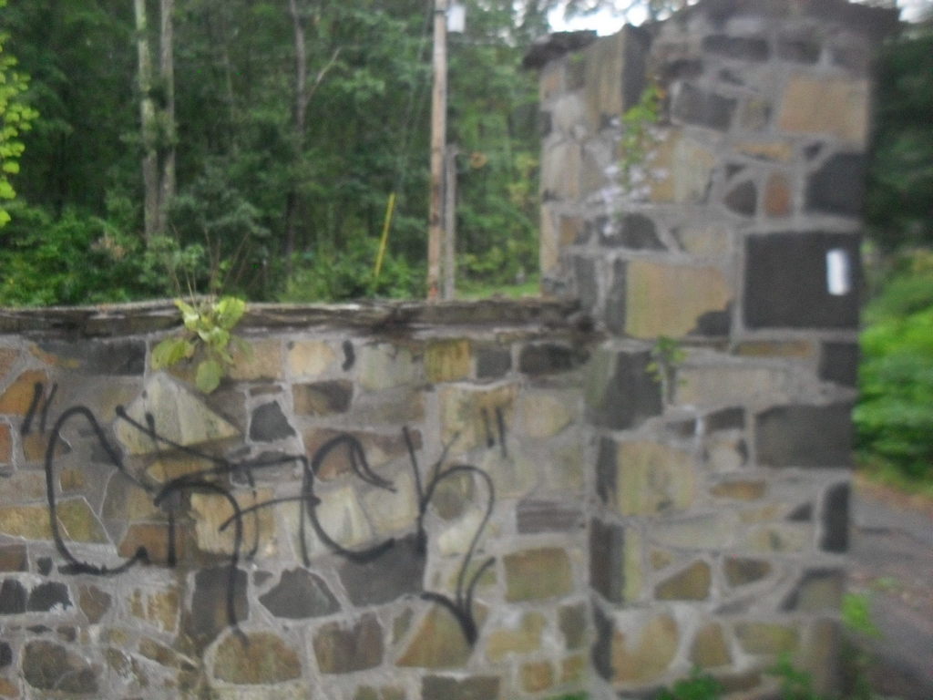
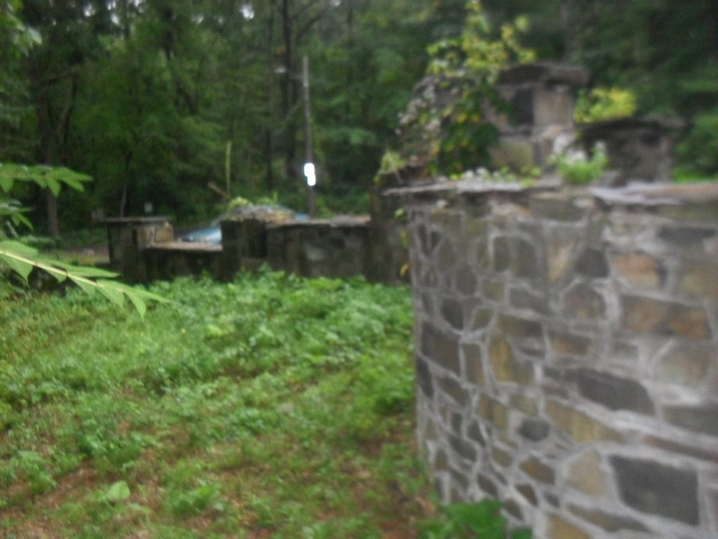
The Reservoir Gate on Old Easthampton Road was built in 1937 as a WPA Works Progress Administration Project.
 |  |  |  |
 |  |  |  |
 |  |  |  |
 |

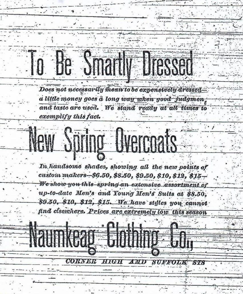
This building area is now a small building. In the 1885 city directory the L’Esperance Building was at 291 to 299 High. It was the home of Naumkeag Clothing. It was ornate but the facade is replaced.
From 1912 to 1940 it is being called the Gallup’s Building and was built in 1910.

Sanborn map analysis:
Sanborn 1884 map shows nothing is there
Sanborn 1889 map shows a one floor building
Sanborn 1895 map shows a one floor building
Sanborn 1915 map shows a 2 floor building
Sanborn 1949 map shows a 2 floor building
Sanborn 1956 map shows a 2 floor building
The Holyoke Wire Clothes was at firm at the southwest end of the Third Canal.

The Masonic Hall at 278 to 282 High Street is still there but in lowered form. It once was 4 floors but now is one. Before the Masons built here it was called the Allyn’s Block.
In 1922, it is still the Masonic Hall but also the American Legion is here.
Sanborn map analysis:
Sanborn 1889 map there is a one floor building
Sanborn 1895 map there is a one floor building
Sanborn 1915 map shows 4 floors – stores, offices, club, and then lodge room

At 320-322 High Street is a fairly ordinary building. It is built in 1890 and is called the Dean Brothers Block.
Sanborn map analysis:
Sanborn 1949 map it is a 4 floor structure with a sign maker on the 2nd floor
The Reliance Fire Station has been on two locations in Holyoke but both are now gone. Both stations will be written about here.
Sanborn map analysis:
Sanborn 1889 map shows the new station up High Street