Saint Matthew’s Roman Catholic Church was founded in 1863. It is found at 50 Pinevale St Springfield. Until the late 1870s it was a mission church of the Saint Patrick Church of Chicopee.

Church
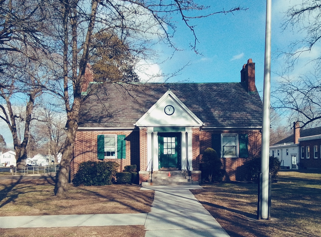
Rectory
The rectory is from 1878 and it is a colonial revival house.
| pastor | starts | end | burial |
| James F Fitzgerald | 1879 | ||
School
Started at Pinevale Street and moved to Berkshire and Myrtle Streets.
Convent
Started at Pinevale Street and moved to Berkshire and Myrtle Streets.