
[Drive along Canal Street in a westerly direction. Park near BJ Liquors. Housing is to the south and mills are to the north.]
This is part of the Holyoke Heritage Trail so after visiting here get back onto the trail.
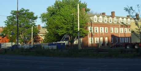
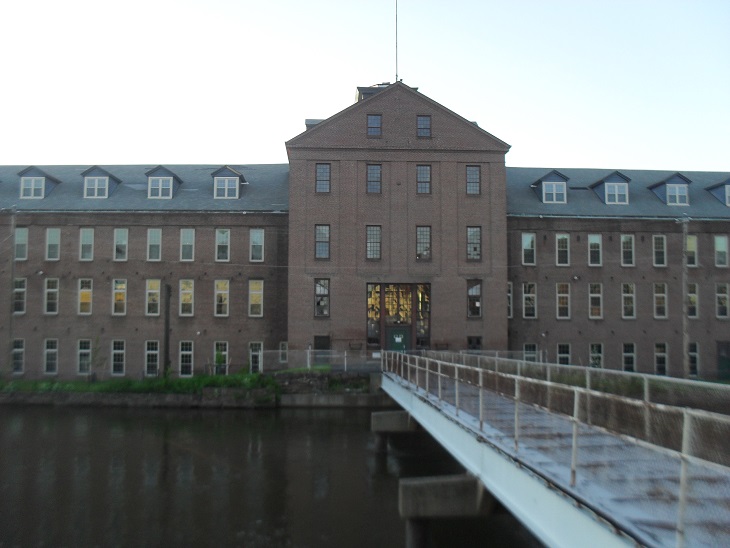
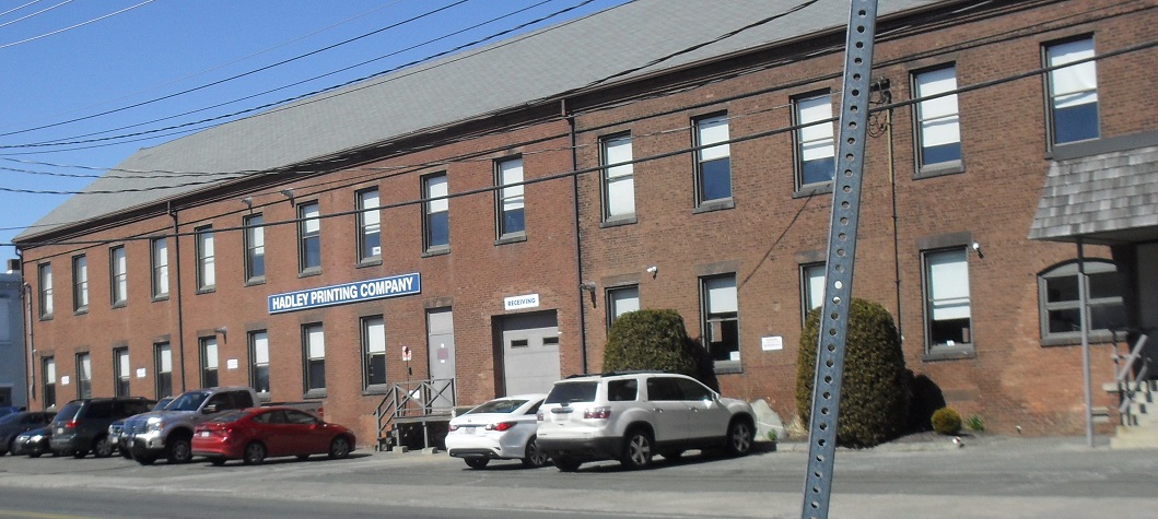
The Hadley Falls Company created this housing project – Hadley Falls Workers’ Housing – to your south in 1848 to house its many workers. The first residents were workers from diggers on the canal system and workers on the wooden dams. Then workers who constructed the first mills for the company were housed here. Lastly, there were immigrants from Quebec and Ireland who worked the looms most of whom were teenage girls or young women. Across Canal Street is the first of two rows of mills that was the Hadley Thread Mill. Later it combined with Merrick Thread to become the American Thread Company. Now the mills are home to Hadley Printing Company and many other firms. A short walk along Canal Street to the west is a fine view of the Spillway from the first to the second level canal.
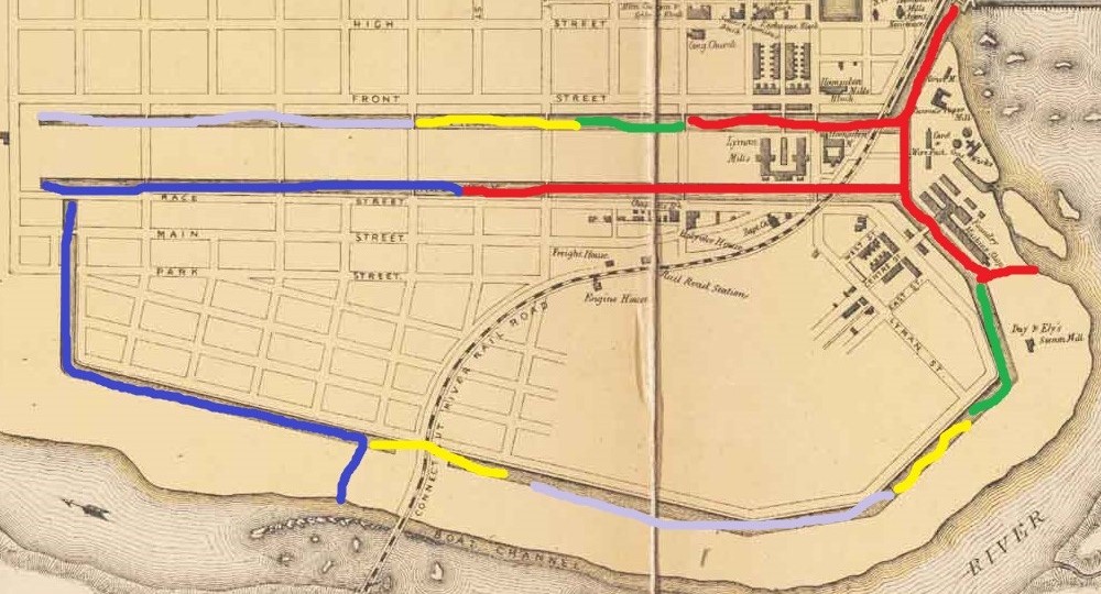
The canal system was dug at different times (MAP). By 1853 (red and blue on the map), the First Level Canal was dug to Dwight Street in the south. The Second Level Canal was dug to Bridge Street in the east and to its end in the south at Race Street. The Third Level Canal was dug from its beginning right out to the river. In the 1860s (green on the map), the first canal was extended to just short of Appleton and the second canal to Lyman. In the 1870s (yellow on the map), the first canal was extended to Cabot Street, the second canal to Mosher Street, and the third canal added a spike at its end. By 1893 (violet gray on the map), long southerly extensions were added to the first and second canals.
Notice, while you are travelling along the canals, that some parts of the canal have stonework on both sides of its banks and some sections have stonework on neither side. The stonework is to strength the banks where the water flow is strong.
Sanborn map analysis: