Author: admin
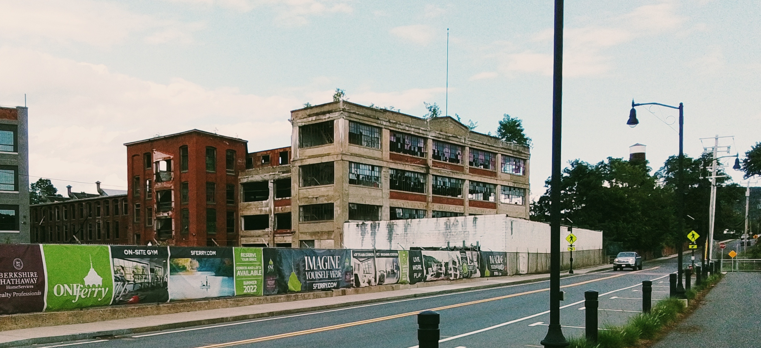
United Folding Box Company
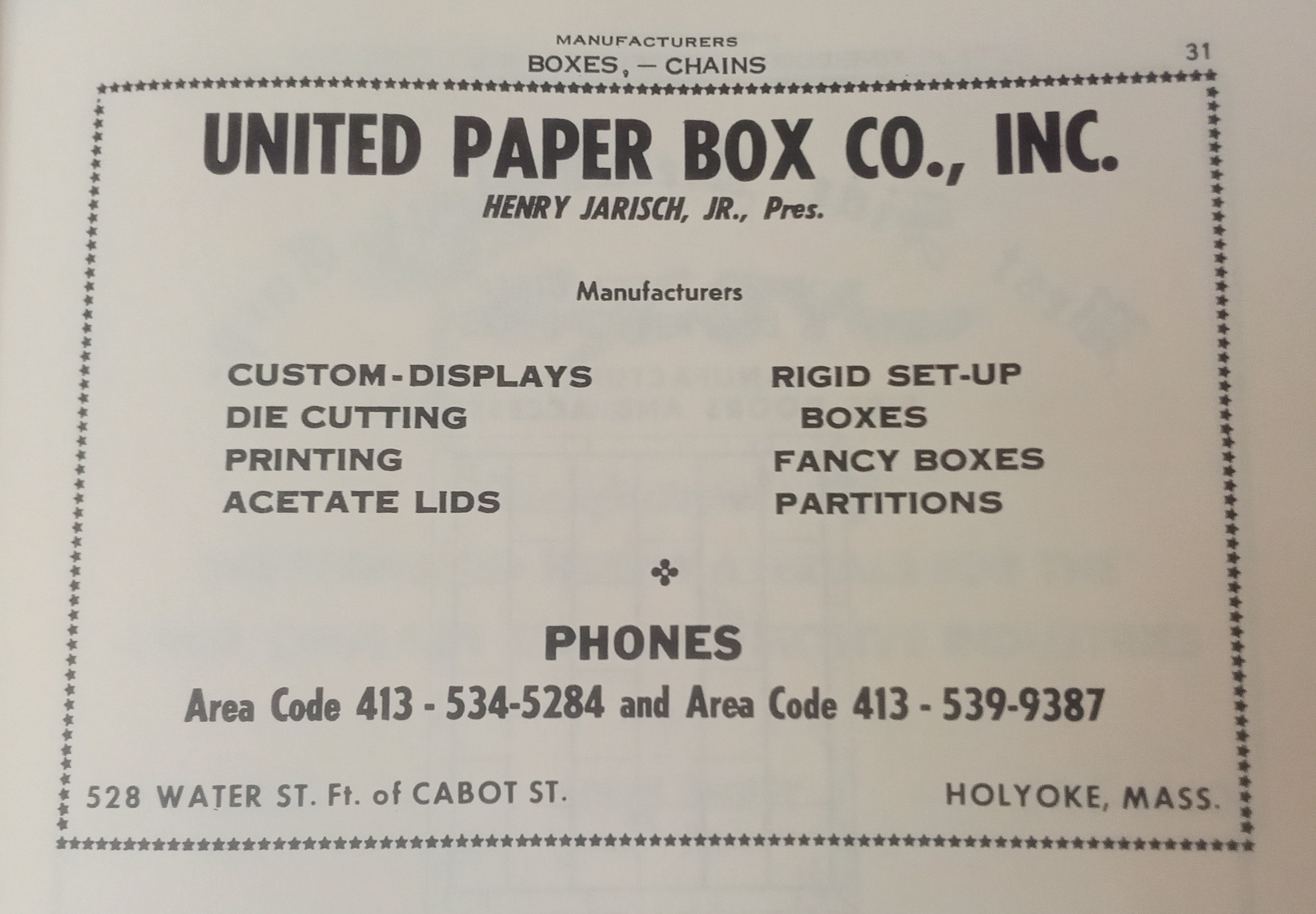
United Folding Box Company was formed in Holyoke during the 1920s.
They still exist over 100 years later. External LINK. They have only had two owners. The first was Henry Jarisch. The second is a joint firm.
Jarisch used United Folding Box Company and then later United Paper Box. The mill was at 528 Water Street. Jarisch was president and treasurer until his 1979 death. FINDAGRAVE
Sanborn map analysis
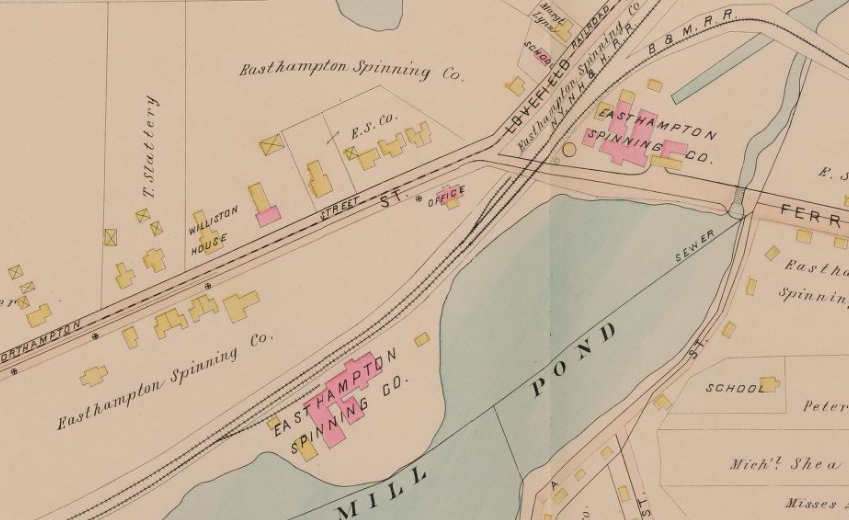
1884 map as the Union Manufacturers Company Paper Mill
1889 map as the Union Manufacturers Company Paper Mill
1895 map as the Connecticut River Paper Company (Powers Paper Co)
1915 map as the Riverside Mill number 3
1949 map as the United Folding Box Company
1956 map as the United Folding Box Company
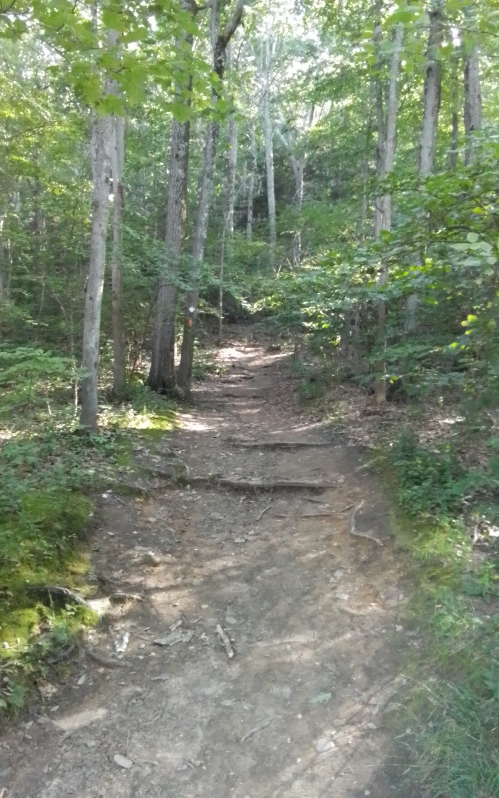
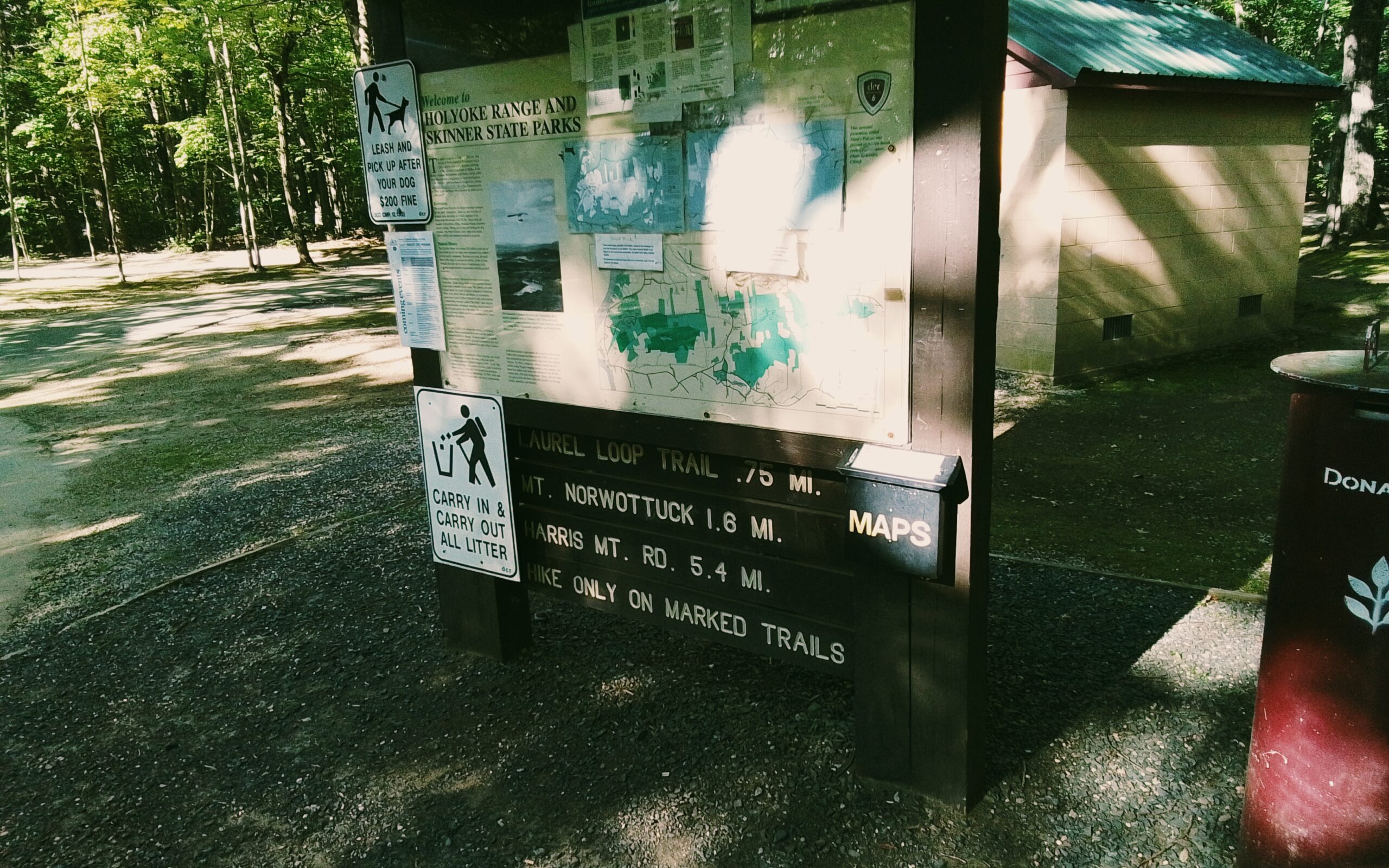
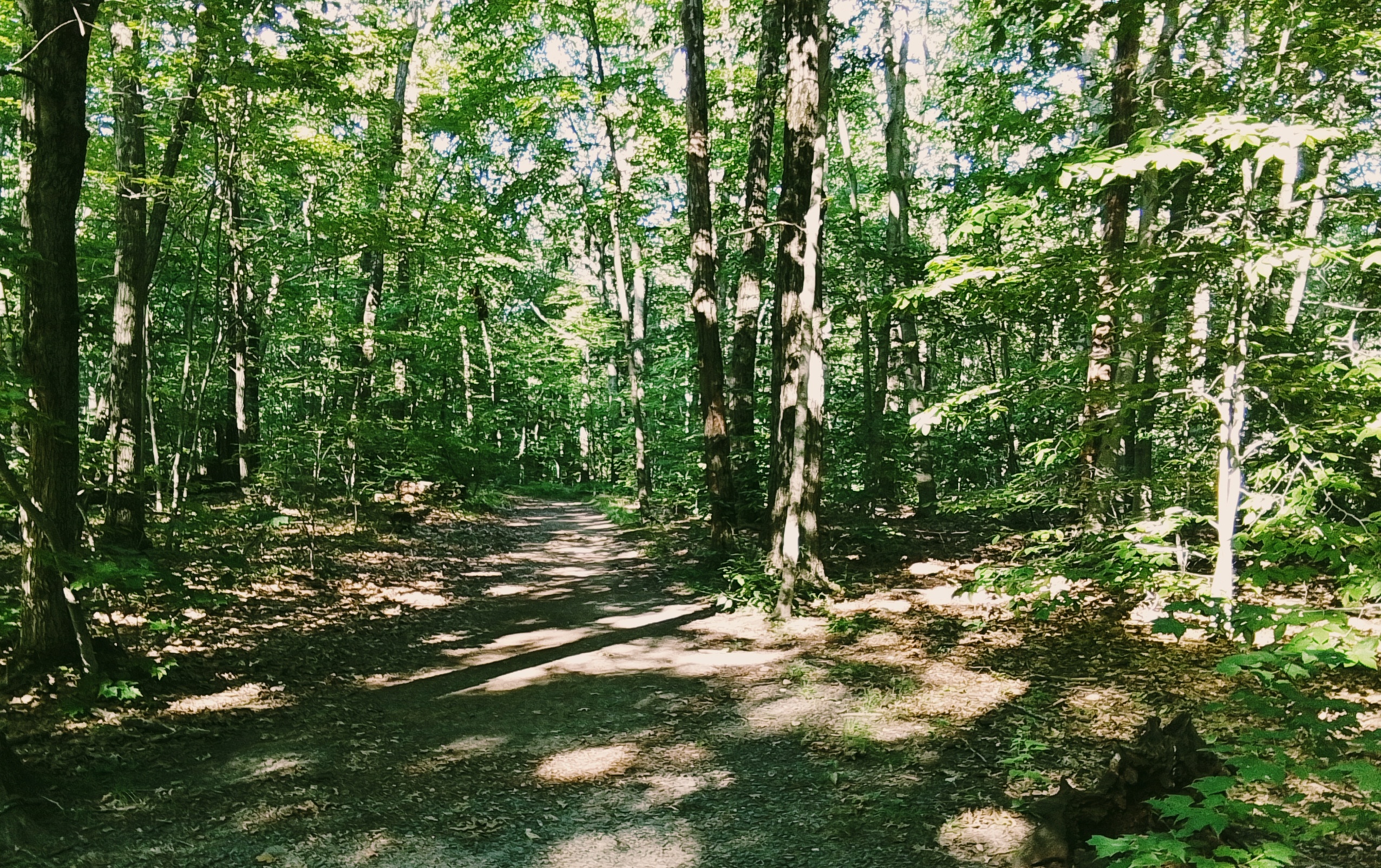
Monadnock Trail in South Hadley
Monadnock Trail in South Hadley
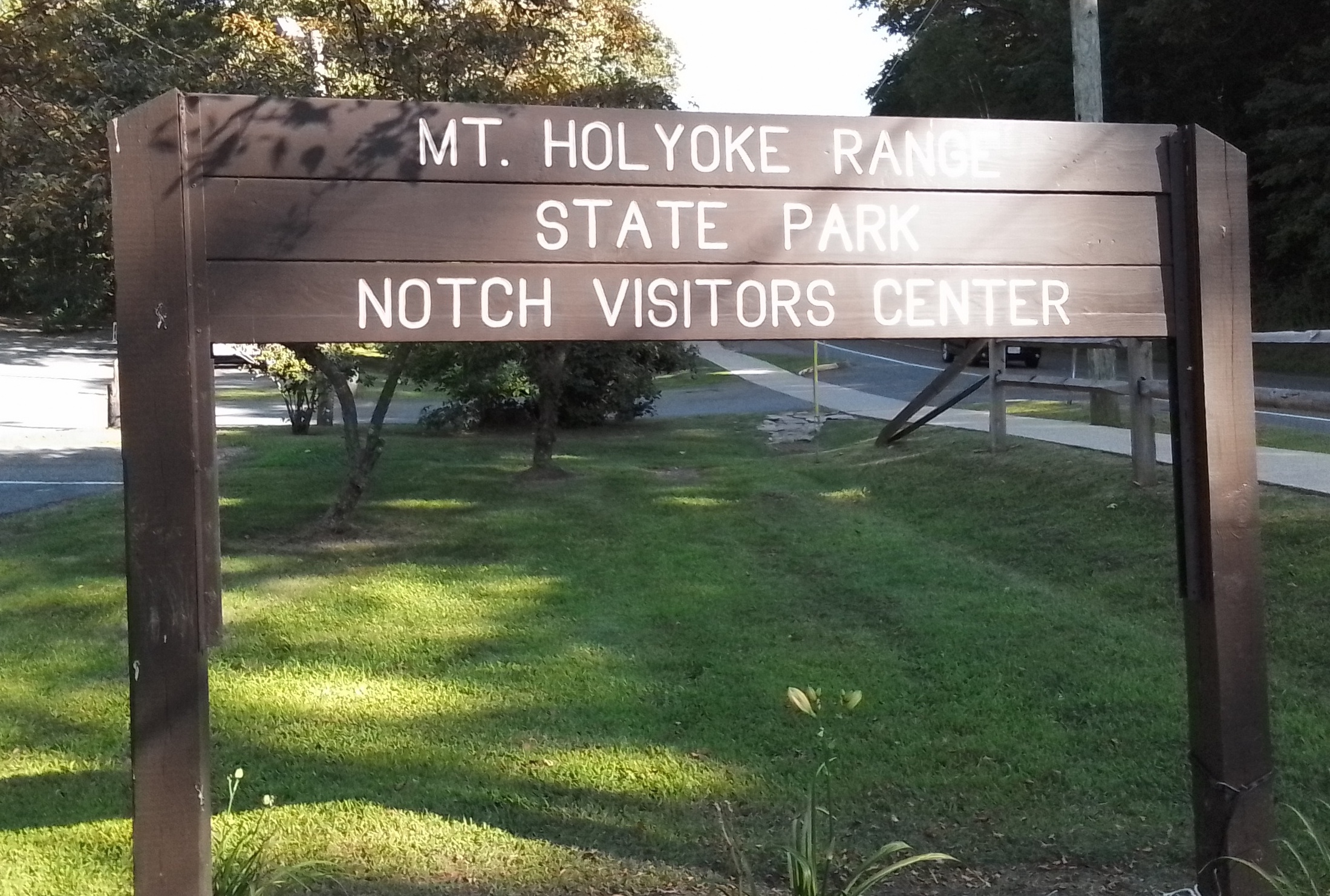
At the Notch
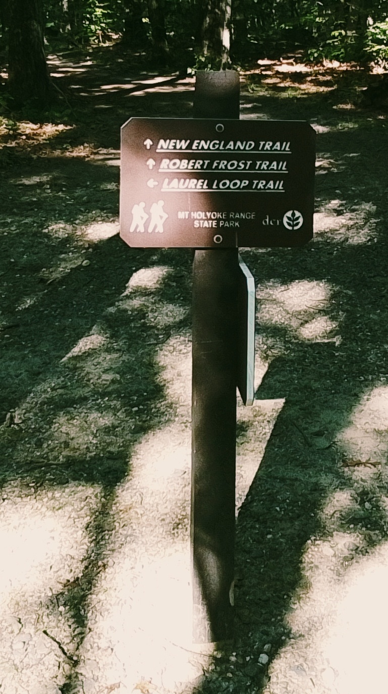
trail to Bare Mountain
trail to Norwottuck Mountain and to the Robert Frost Trail
South Amherst Common
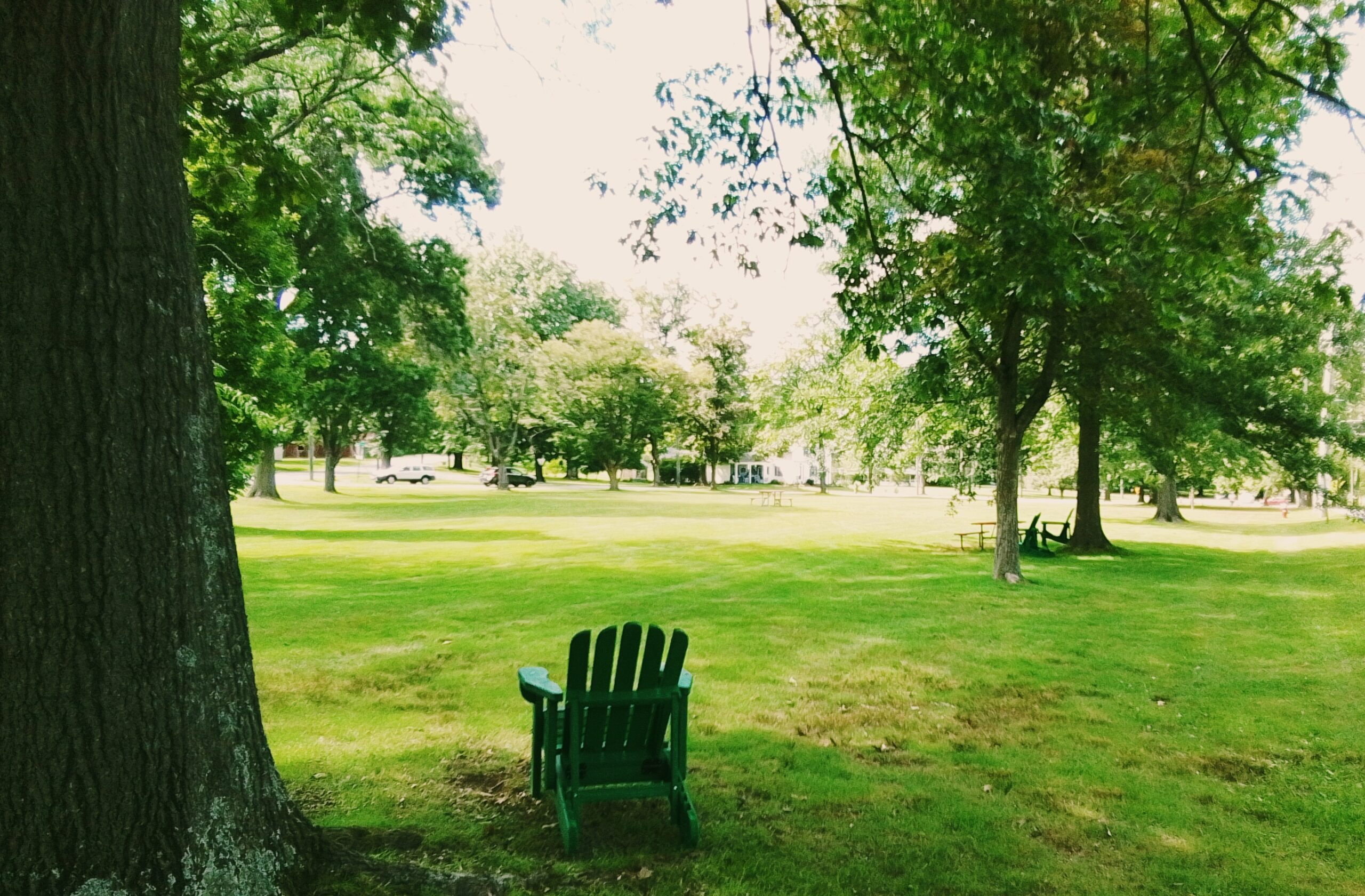
In the Middle Street and Shay Street quadrant:
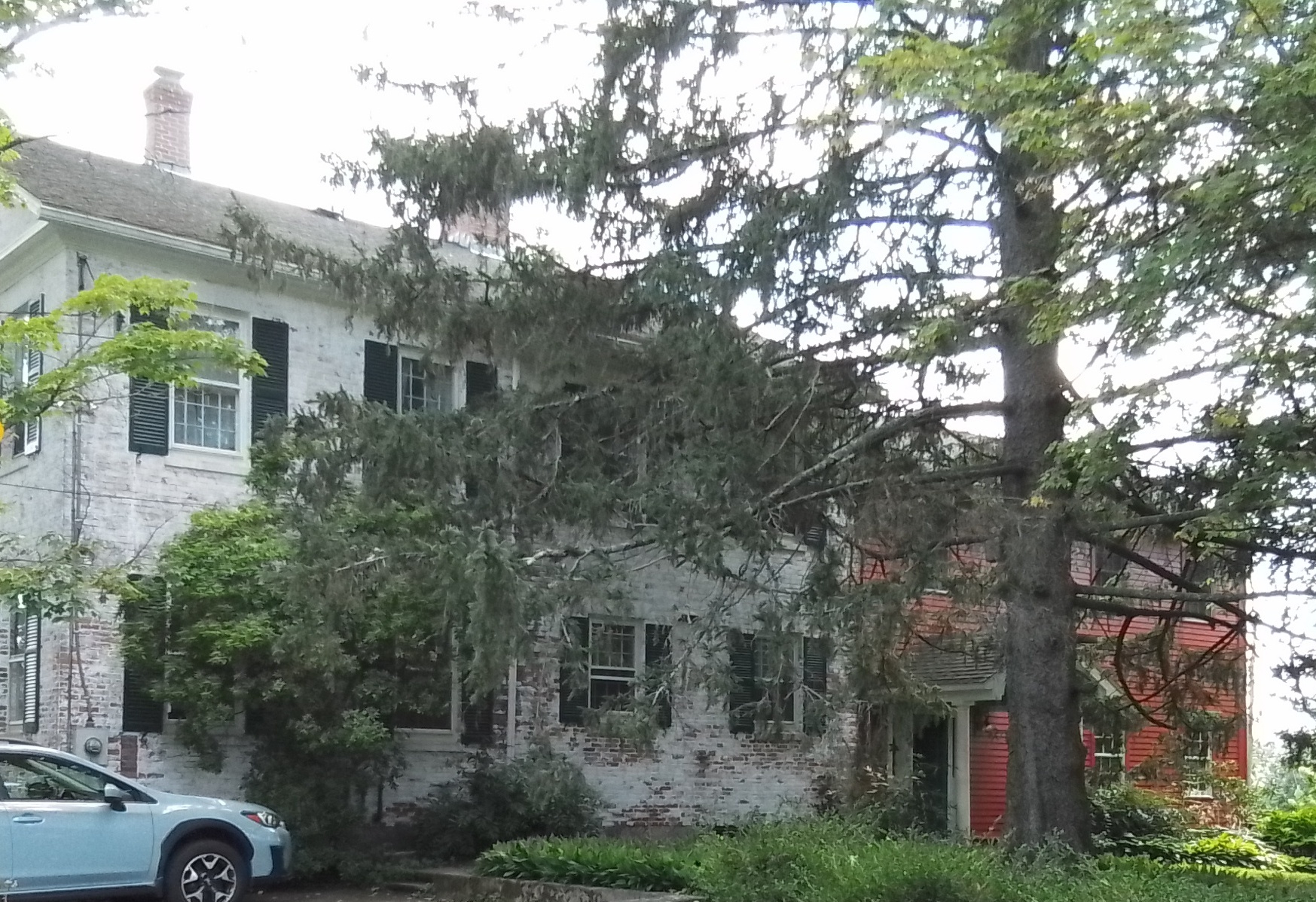
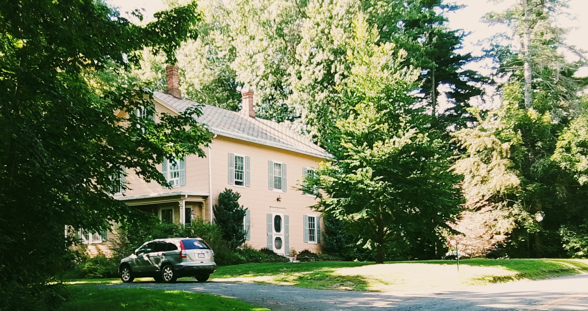
989 South East Street in the early 1800s was the post office of this small neighborhood and had the Hiram Allen family living here. This is a federal era home. – FINDAGRAVE
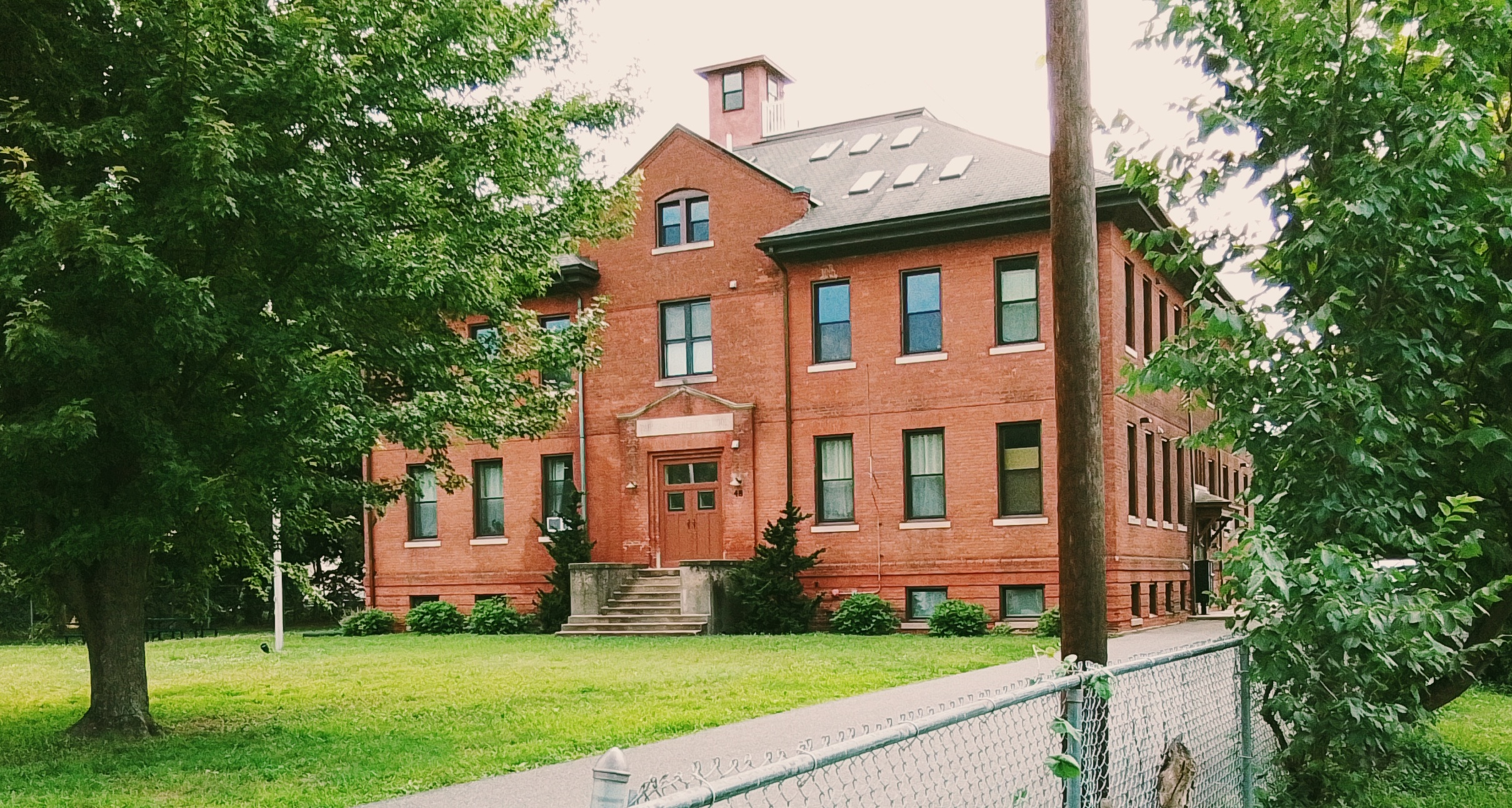
1001 South East Street is the South Amherst School from 1900.
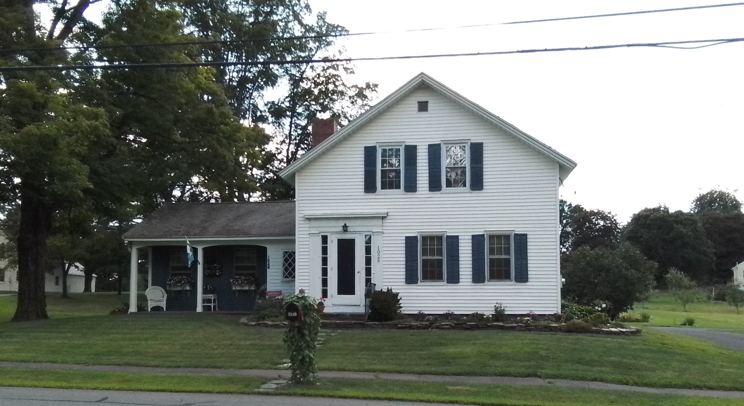
1025 South East Street is the Armstrong house from 1860. – FINDAGRAVE
In the Shays Street to Pomeroy Lane quadrant:
At 445 Shays Street is the Jonathan Dickinson home and barn from 1780 in Federal style. – FINDAGRAVE
At 324 Pomeroy Lane is the Enos Dickinson home and store / post office. – FINDAGRAVE
In the Middle Street to South East Street quadrant:
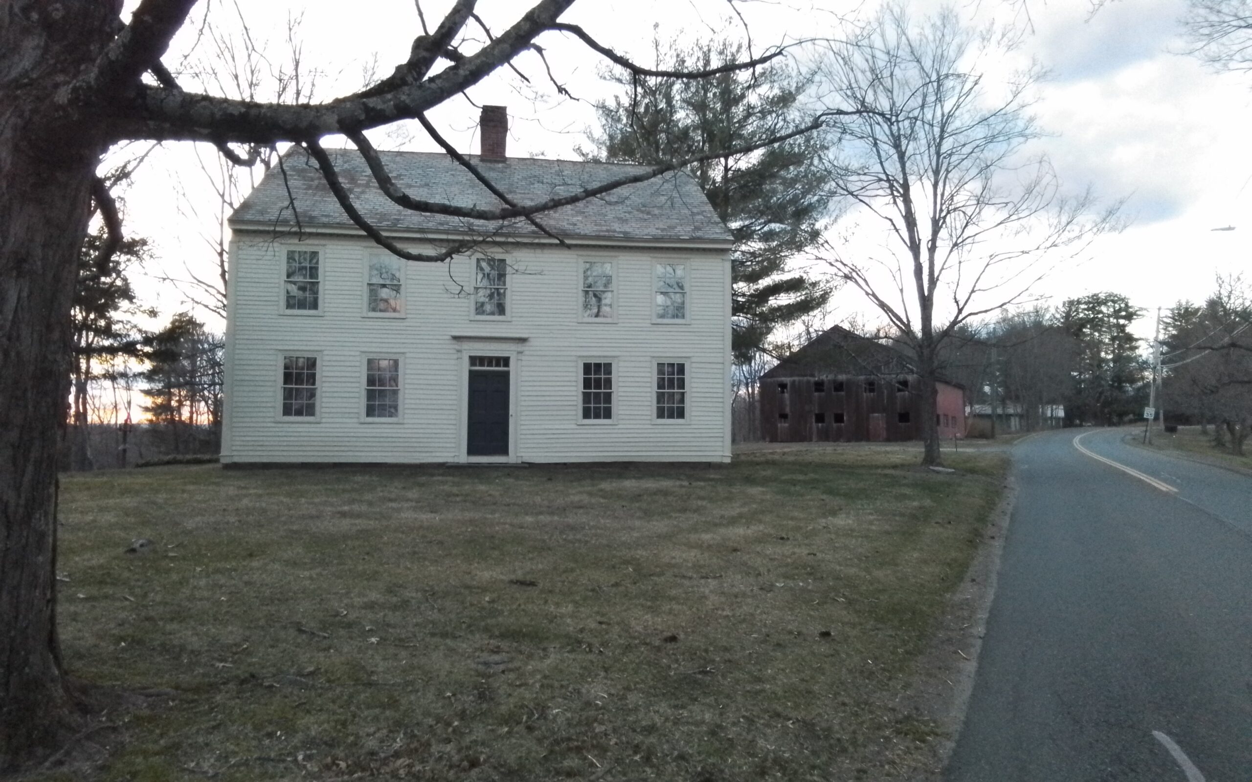
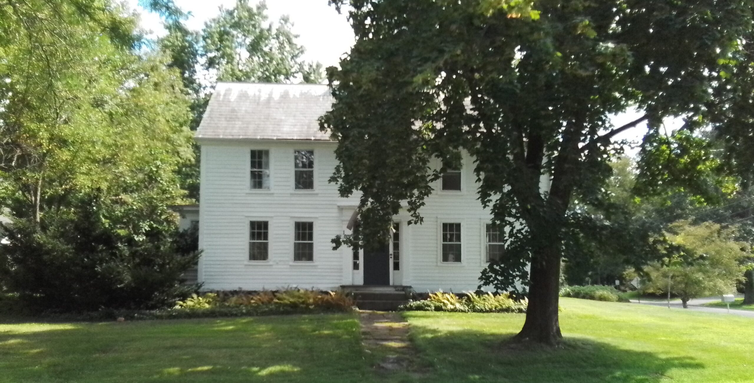
At 1055 South East Street is the house from 1742 in a Georgian style. – This is the house of Nathaniel Coleman
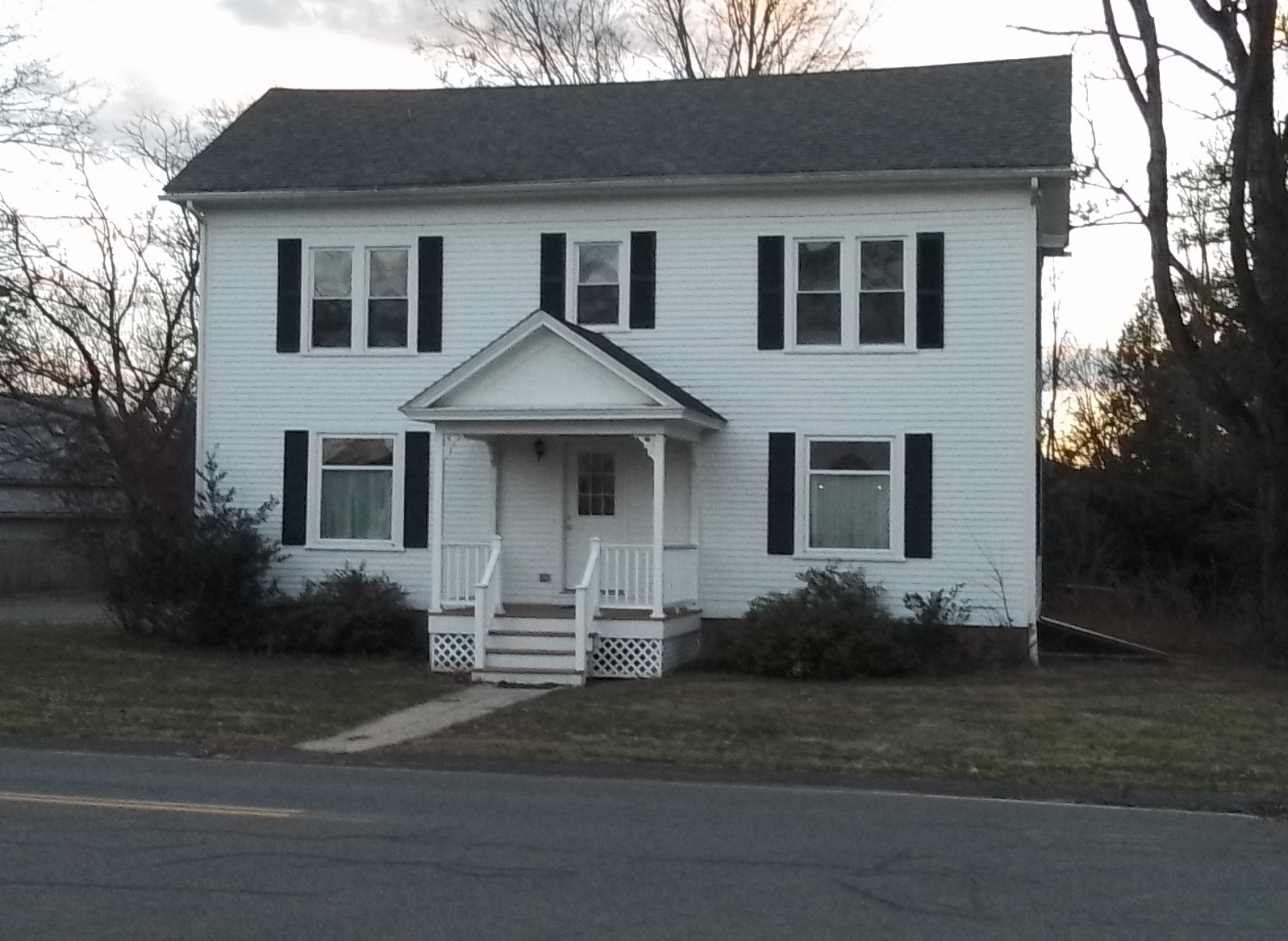
1067 South East Street is from 1770 and is now a parsonage for the South Congregational Church – FINDAGRAVE
1081 South East Street is from the 1800s – no history link
In the southeast section of the South East Street to Station Road quadrant:
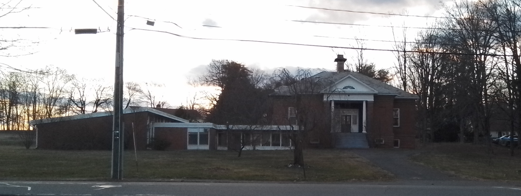
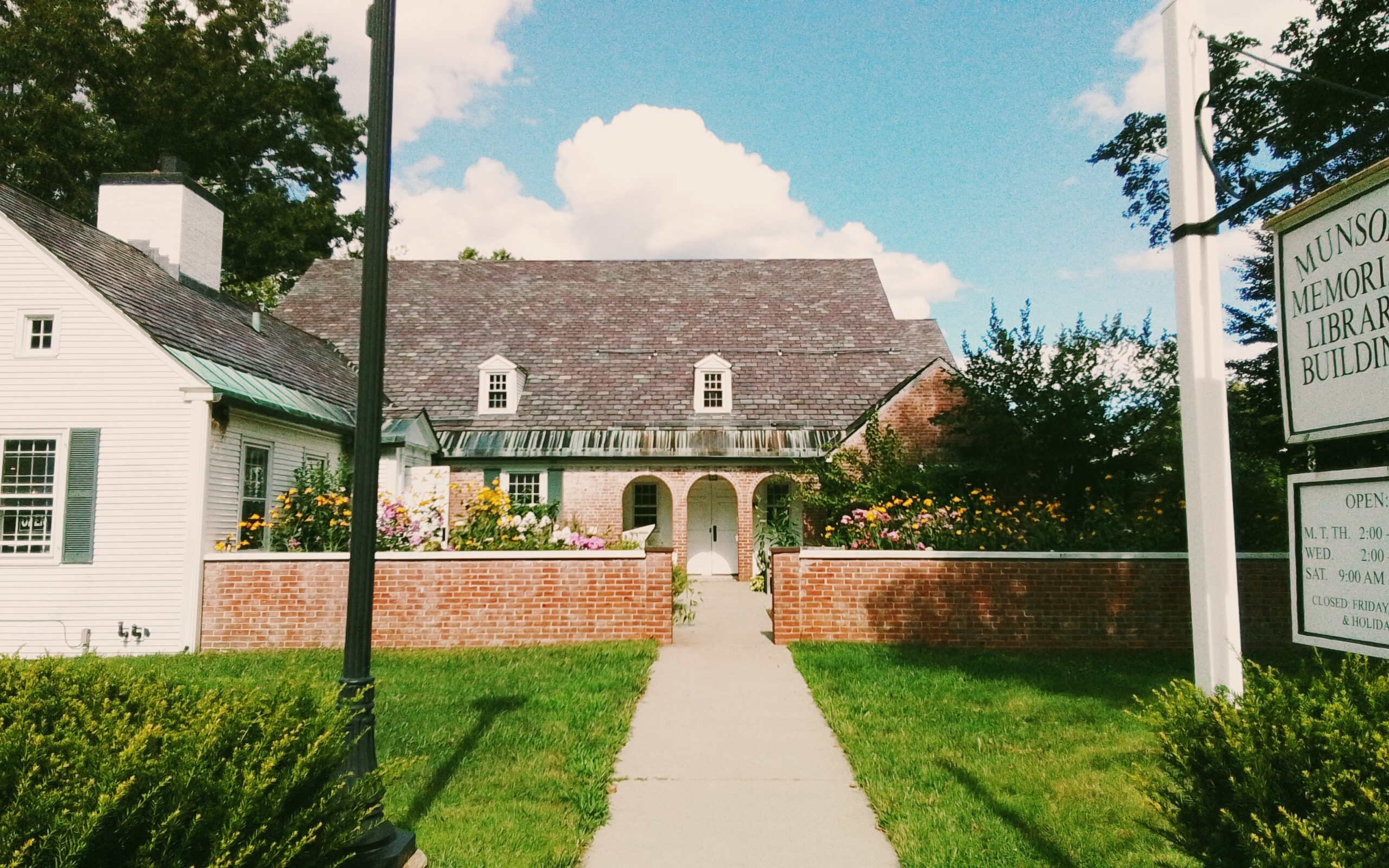
At 1046 South East Street is the Munson Memorial Library
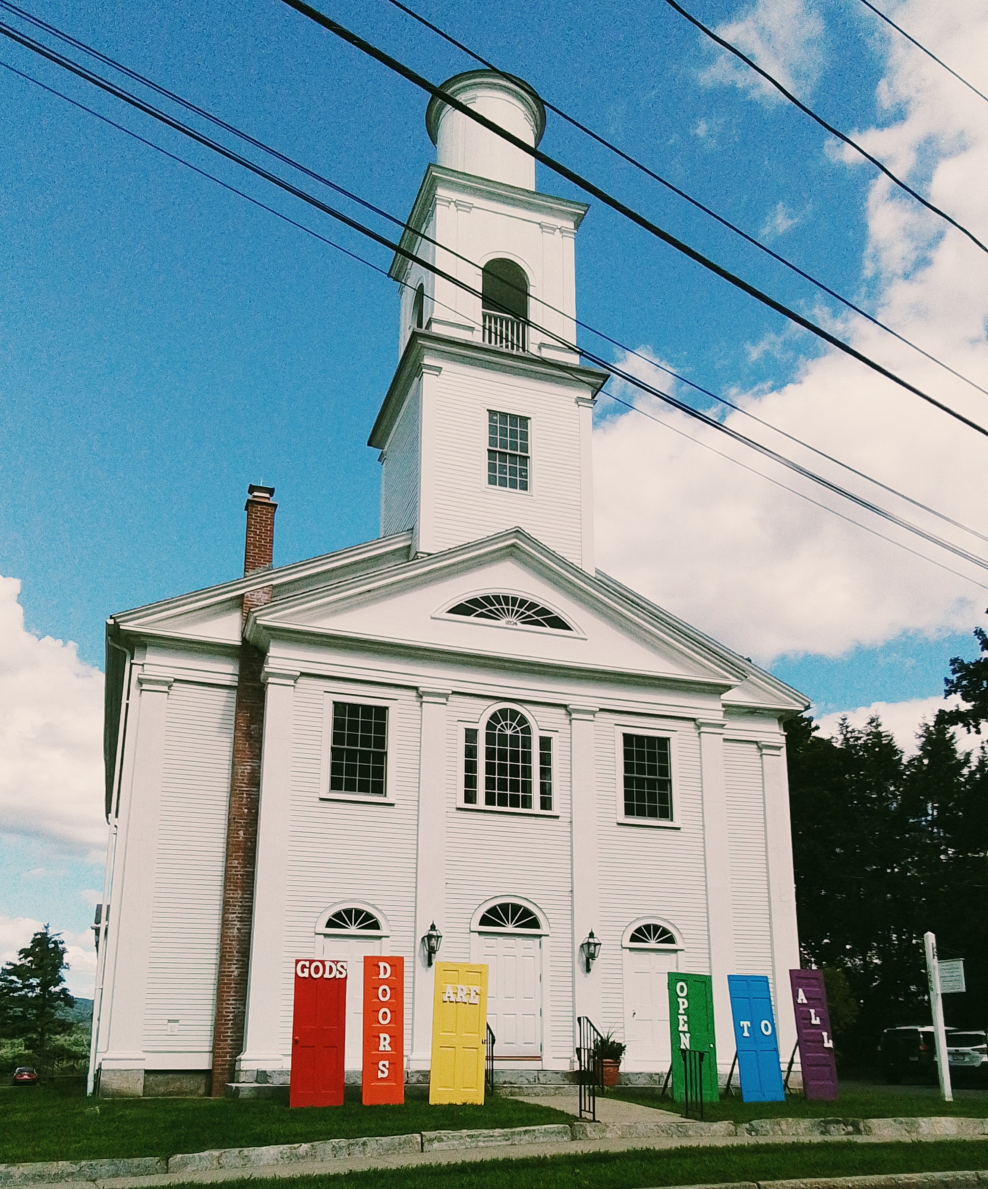
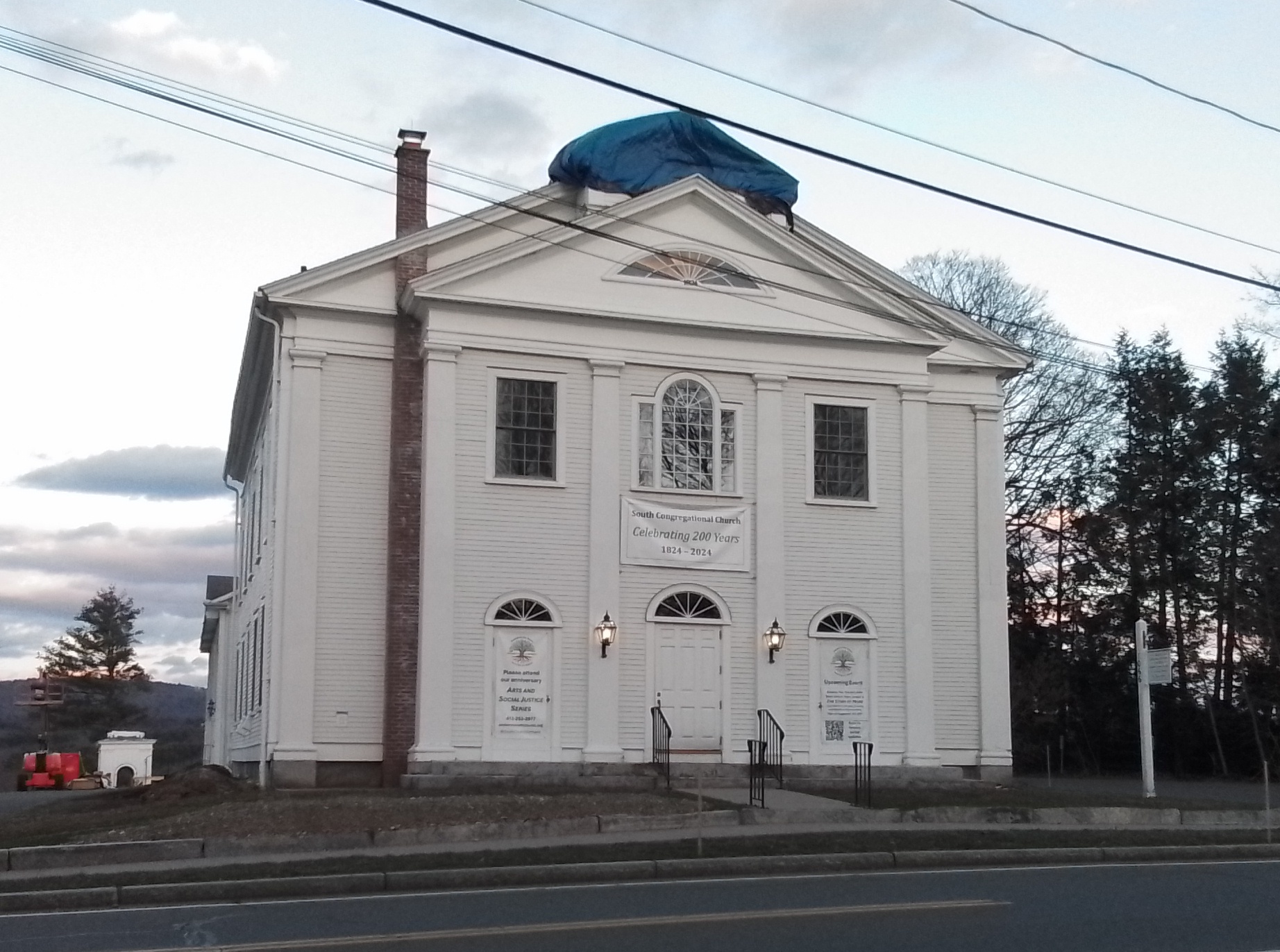
At 1066 South East Street is the South Amherst Congregational Church from 1825.
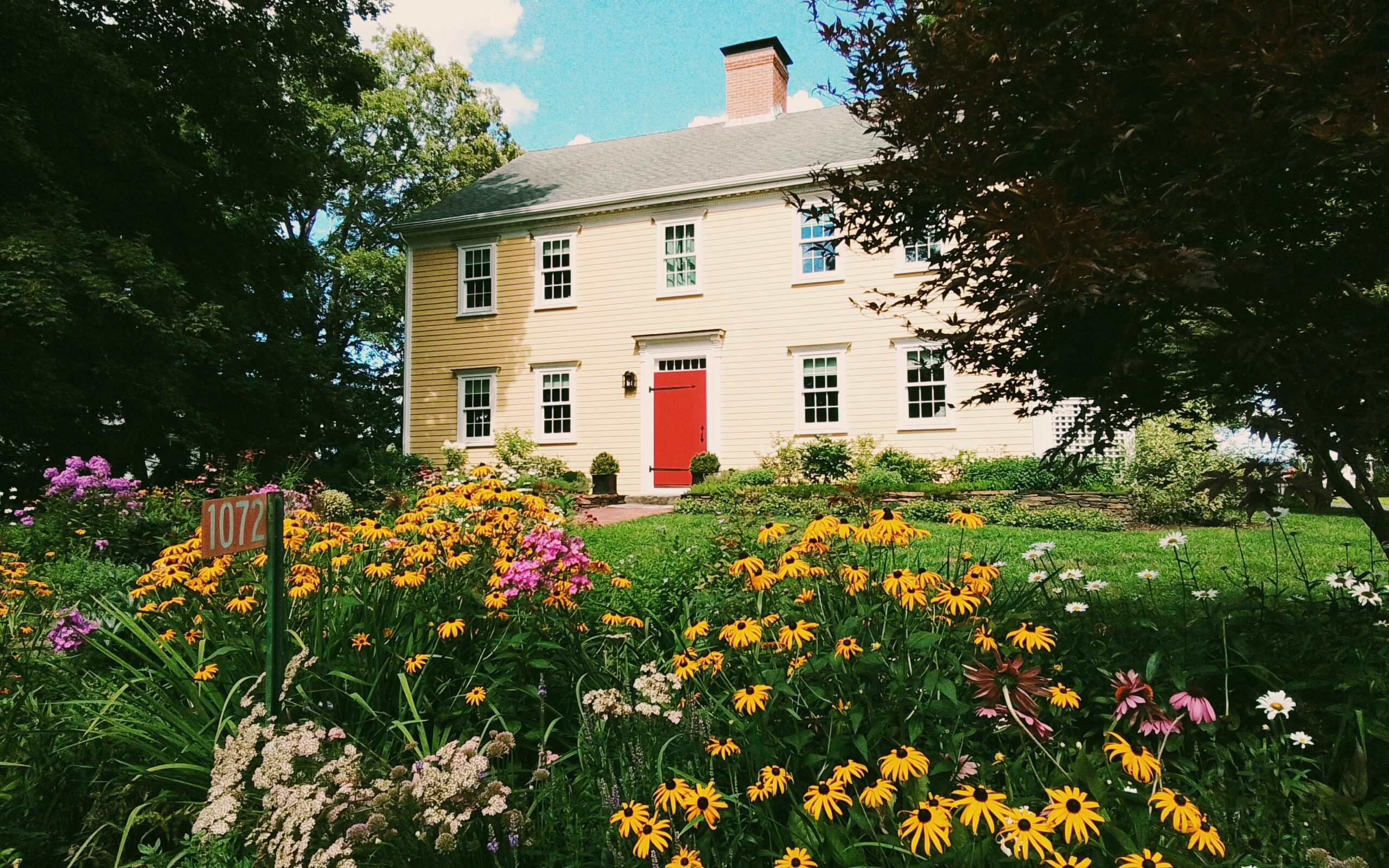
At 1072 South East Street is the Elisha Smith house from 1805. – FINDAGRAVE
In the northeast section of the South East Street to Station Road quadrant:
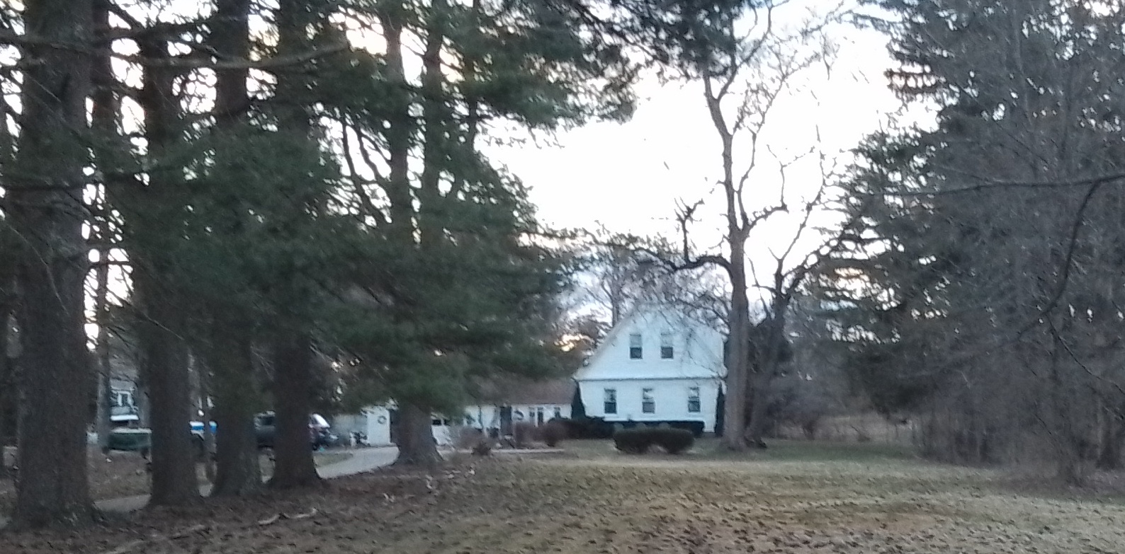
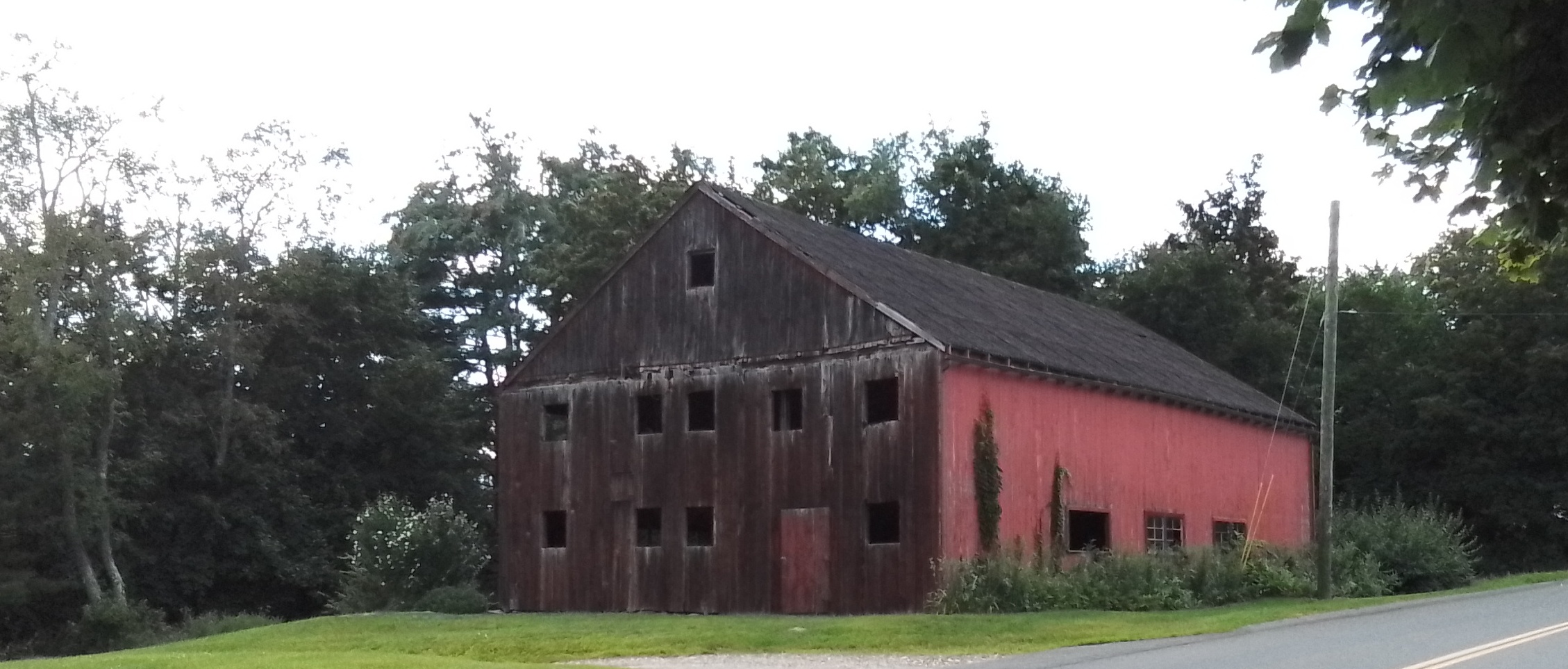
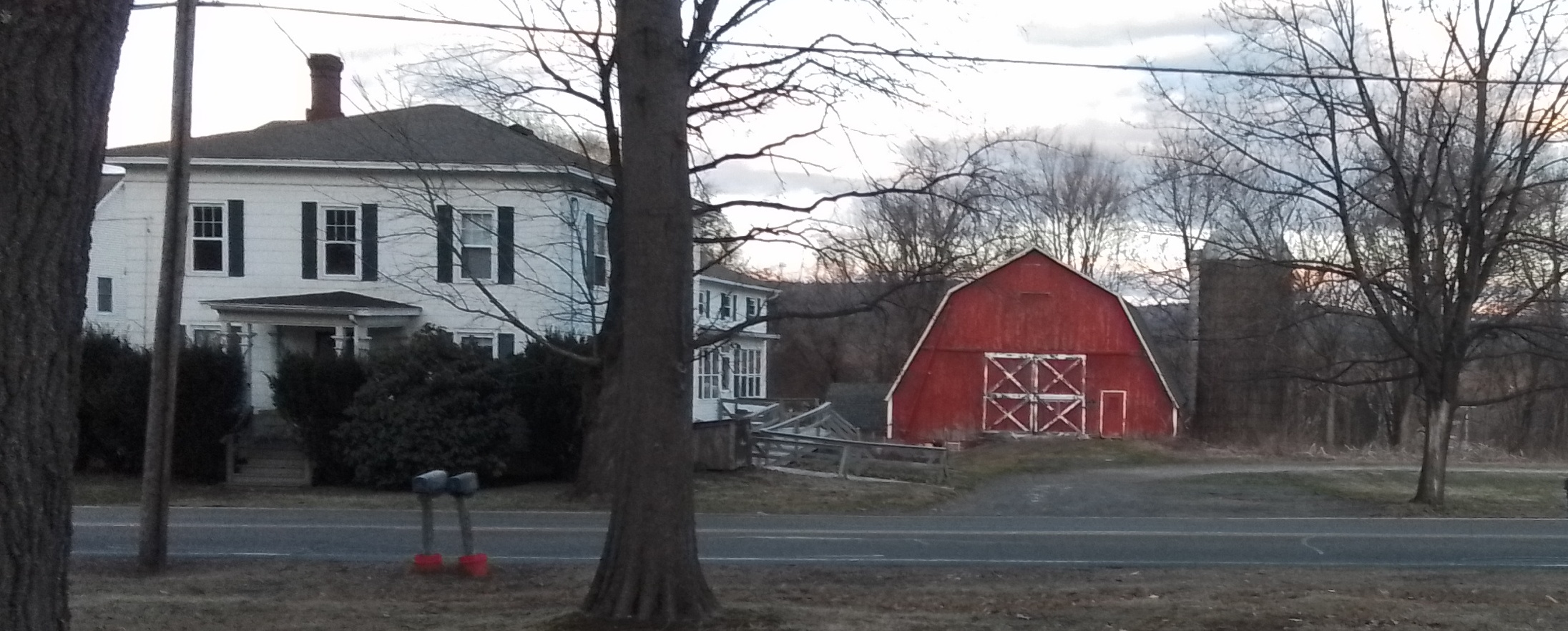
986 South East Street is the Amherst Town Farm and William Chaffee farm. The red barn to the far right is the town barn.
Outside the zone:
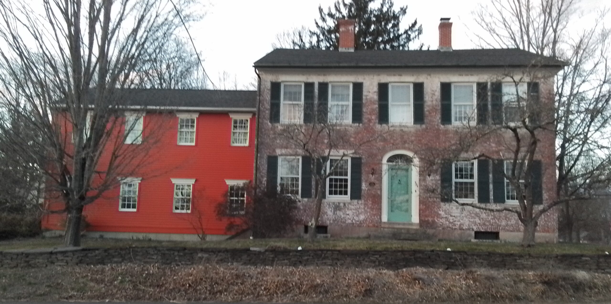
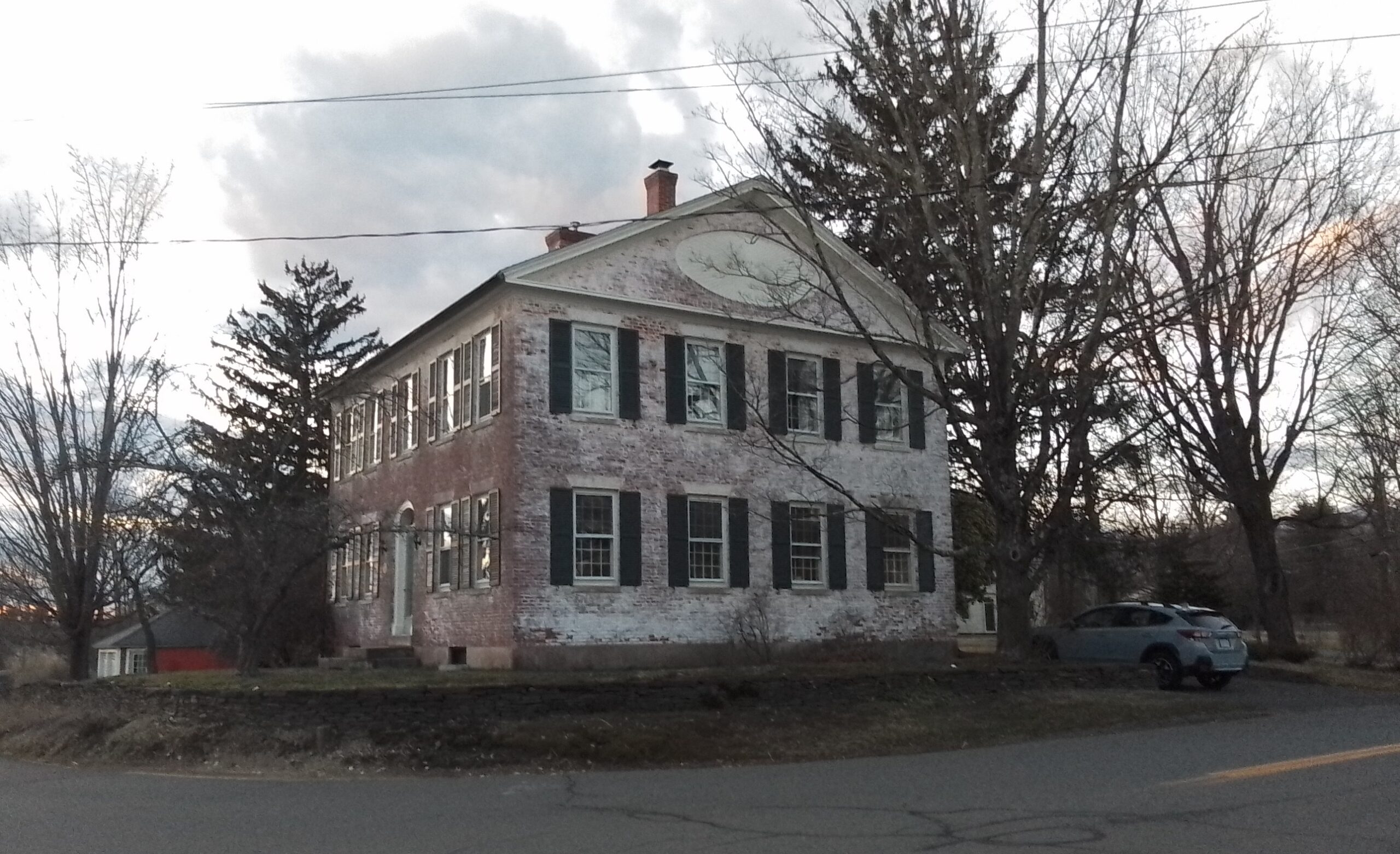
101 Middle Street has the Smith and Bridgman house from the early 1800s.
Sanborn maps did not extend to here.
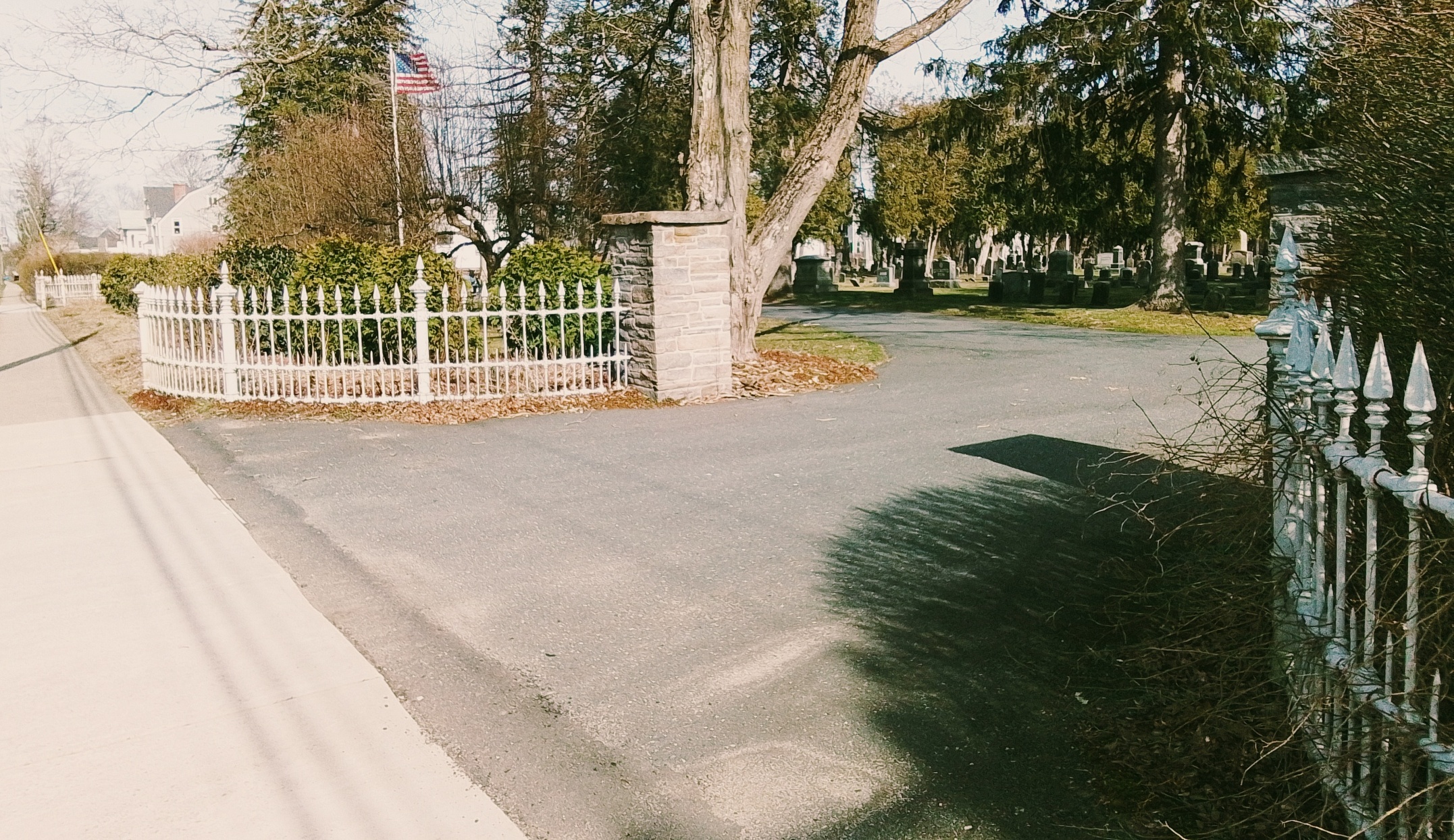
Main Street Cemetery (Easthampton)
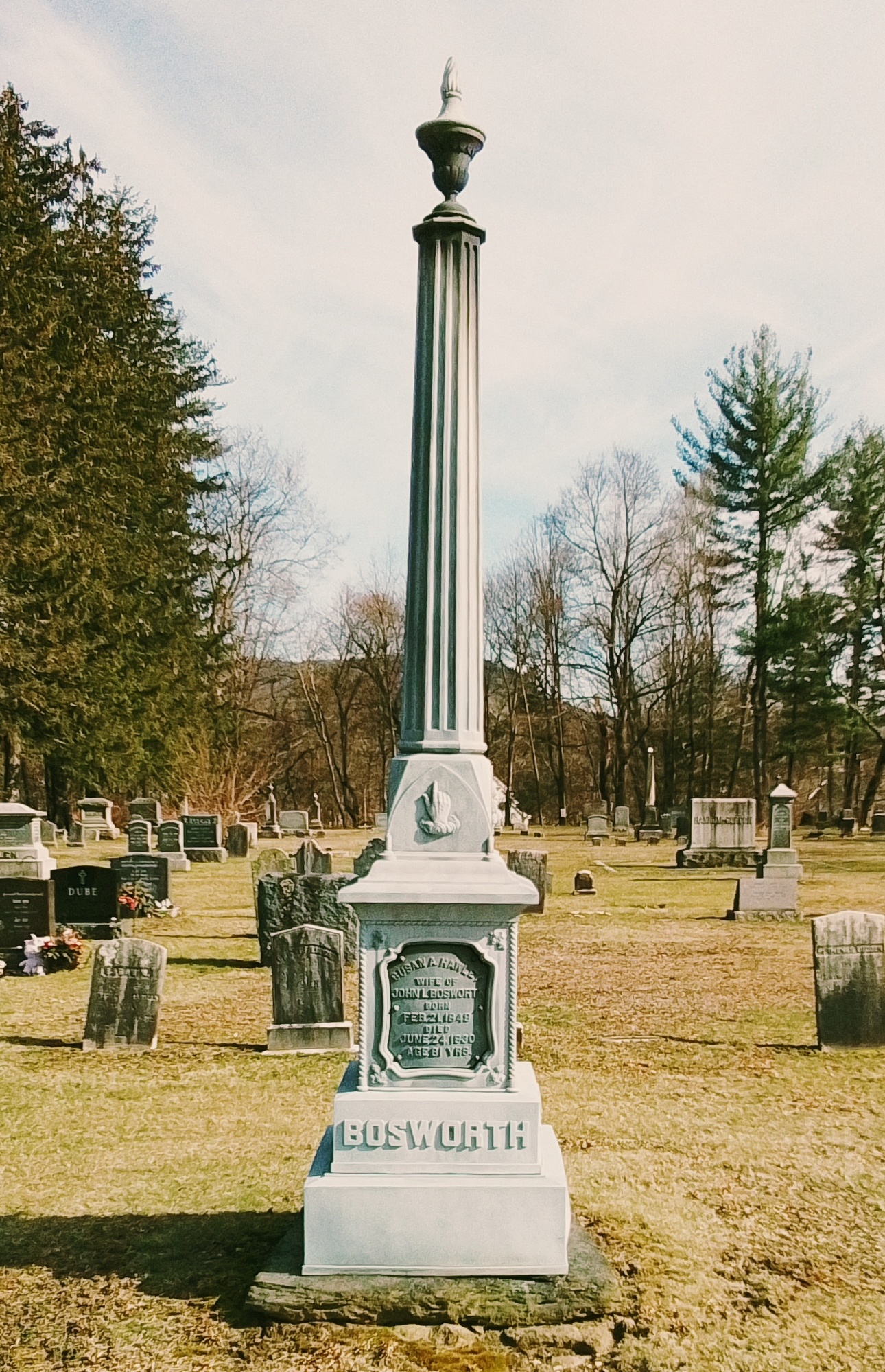
Main Street Cemetery (Easthampton) is most likely from about 1770. Thus it has many old burials. It is on Main Street near Glendale Street.

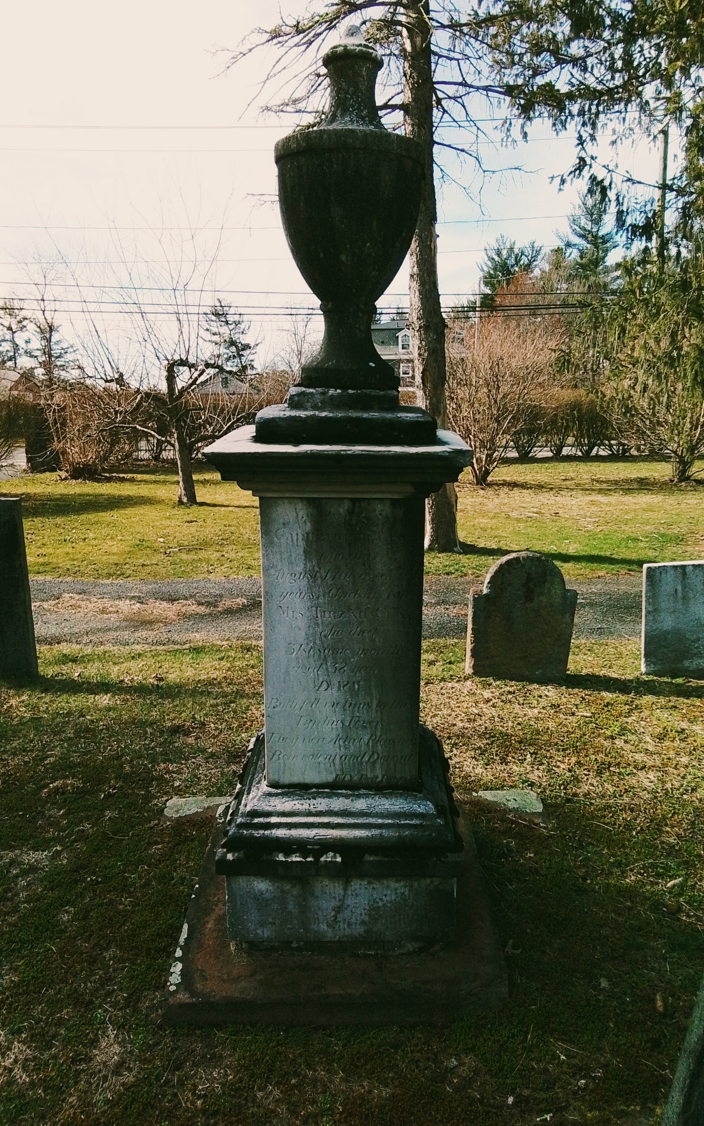
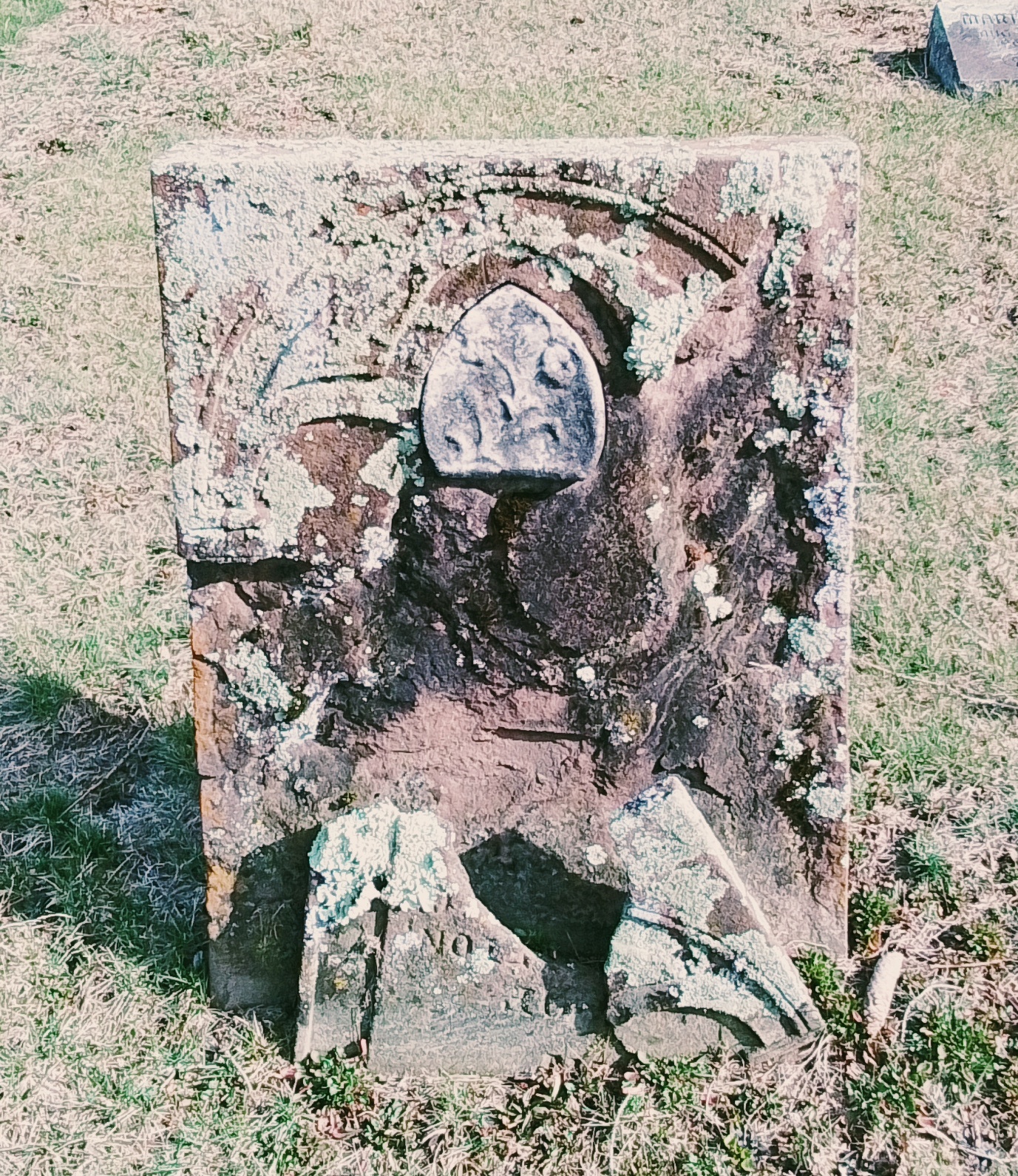
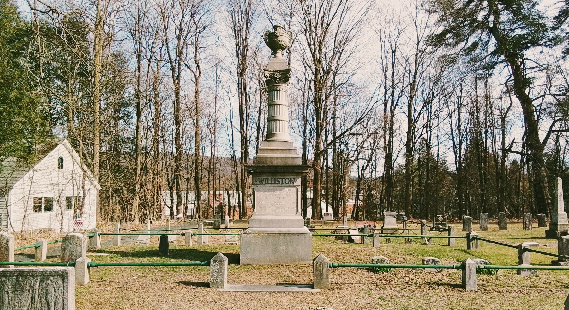
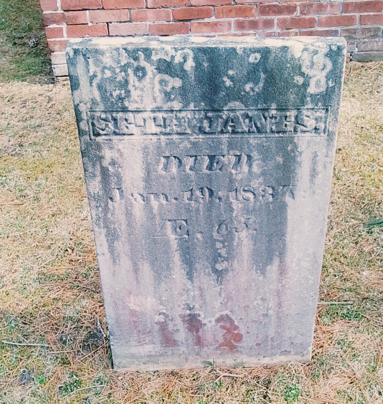
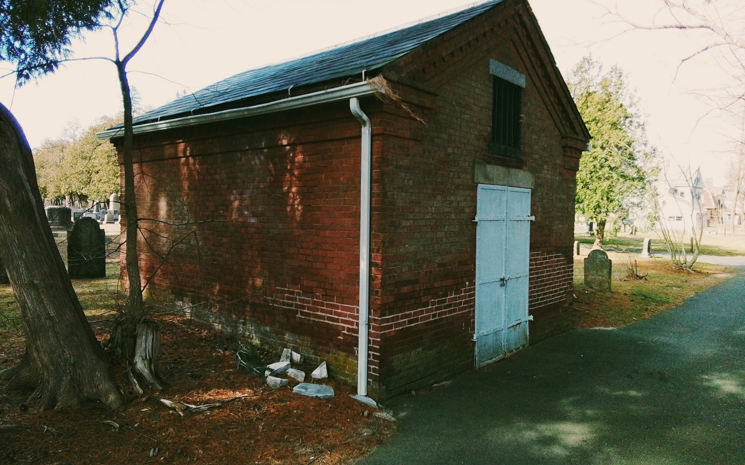
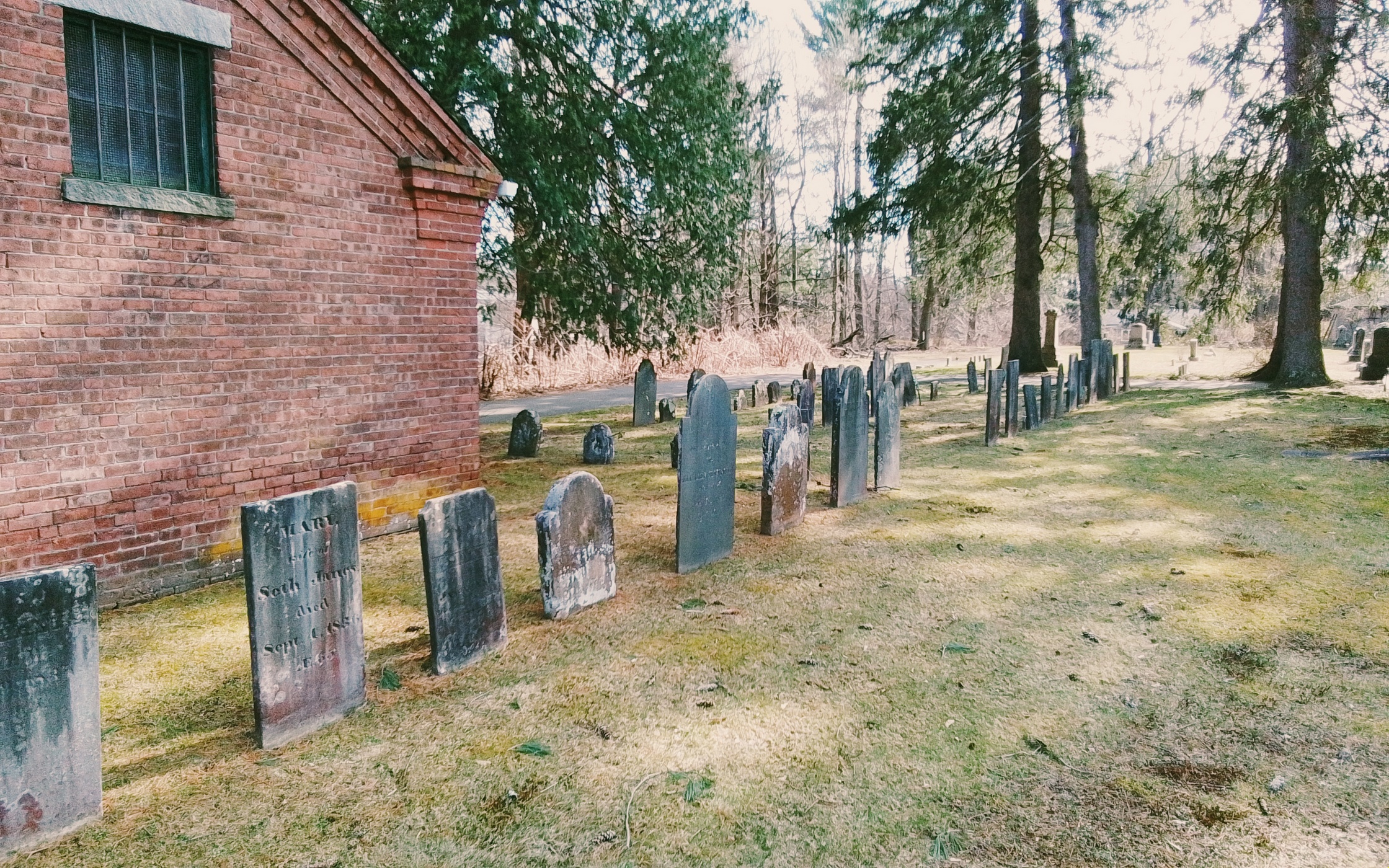
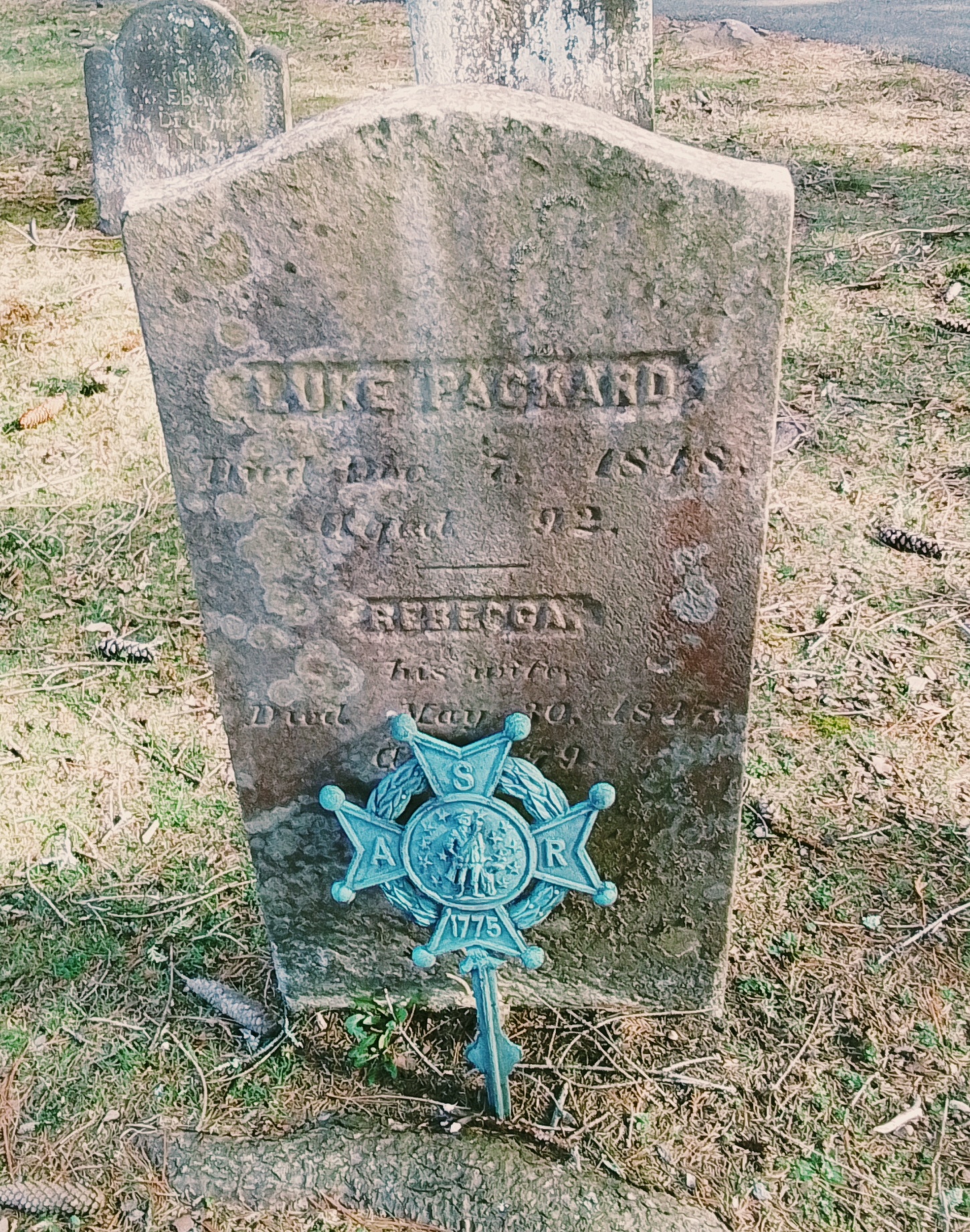
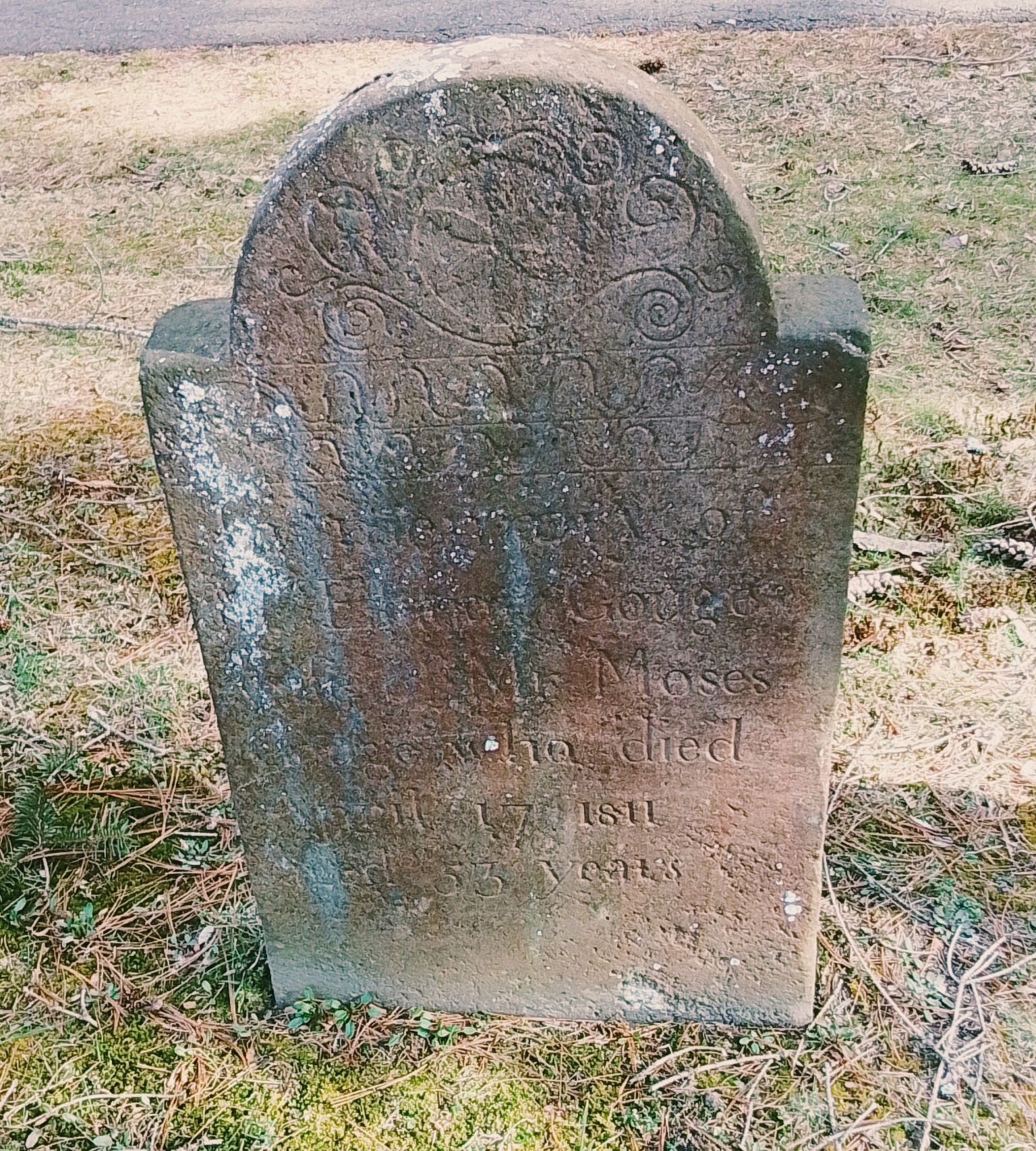
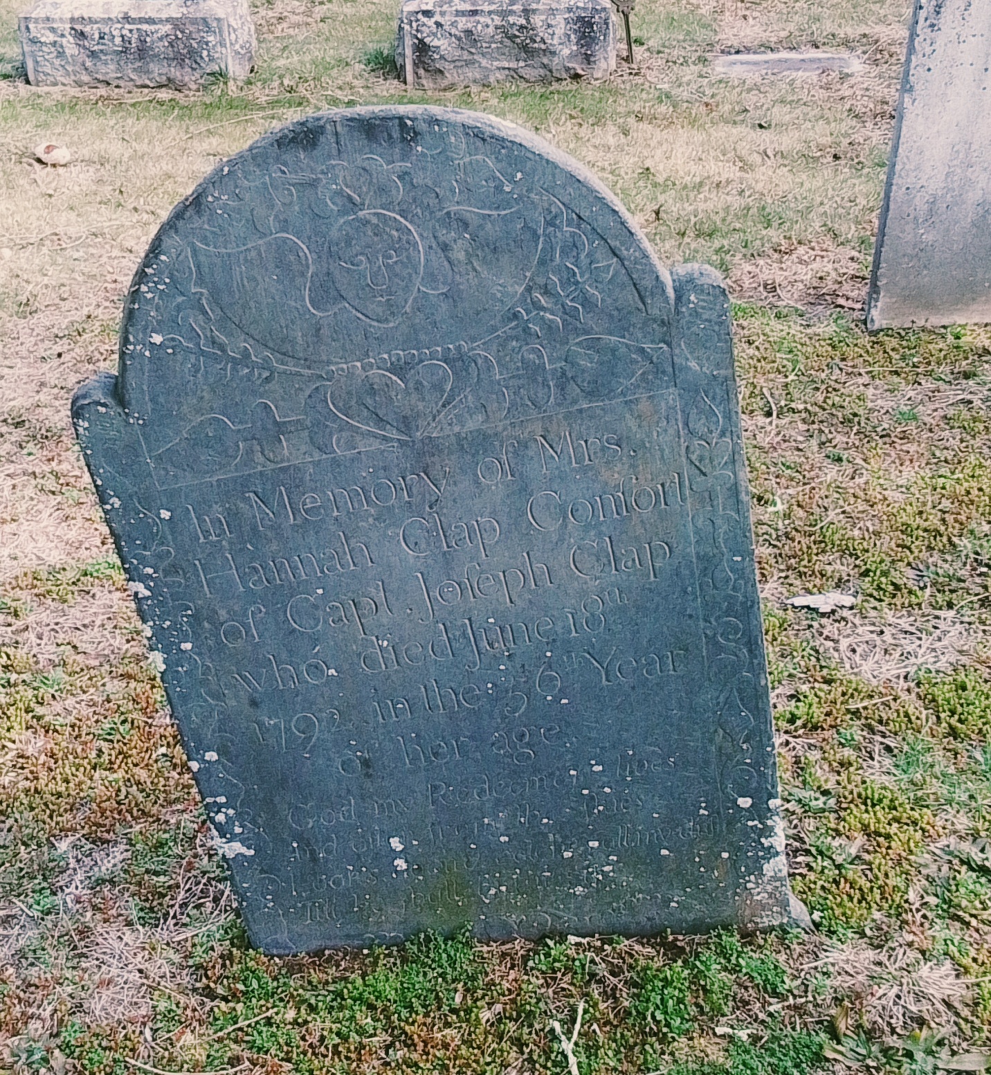
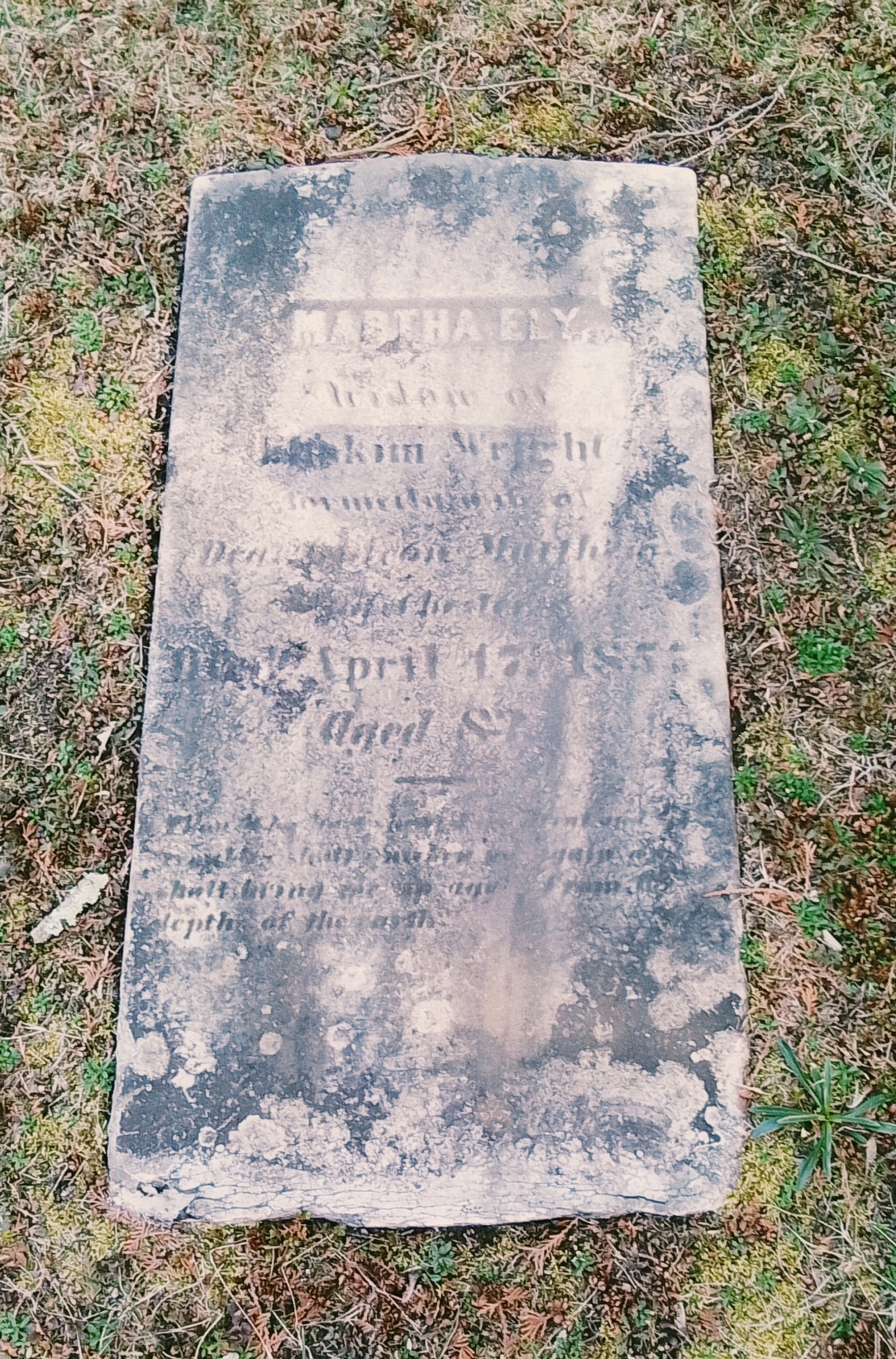
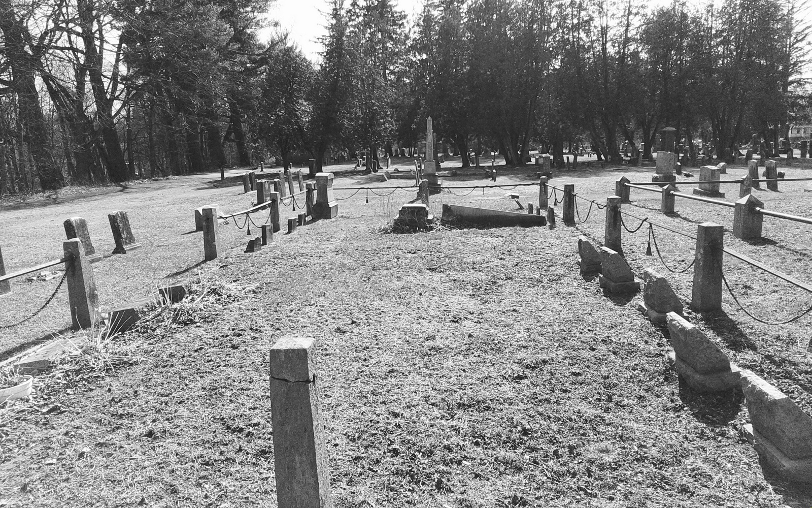
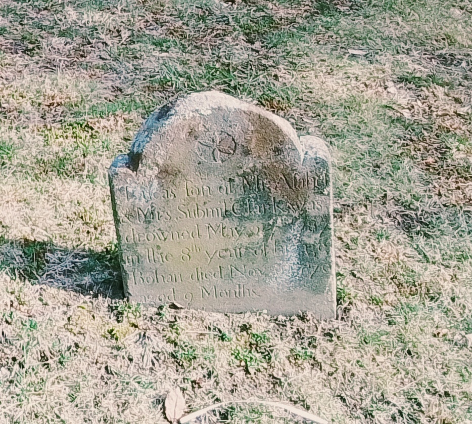
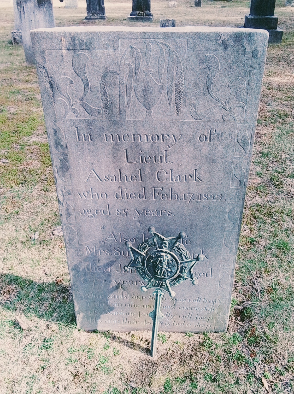
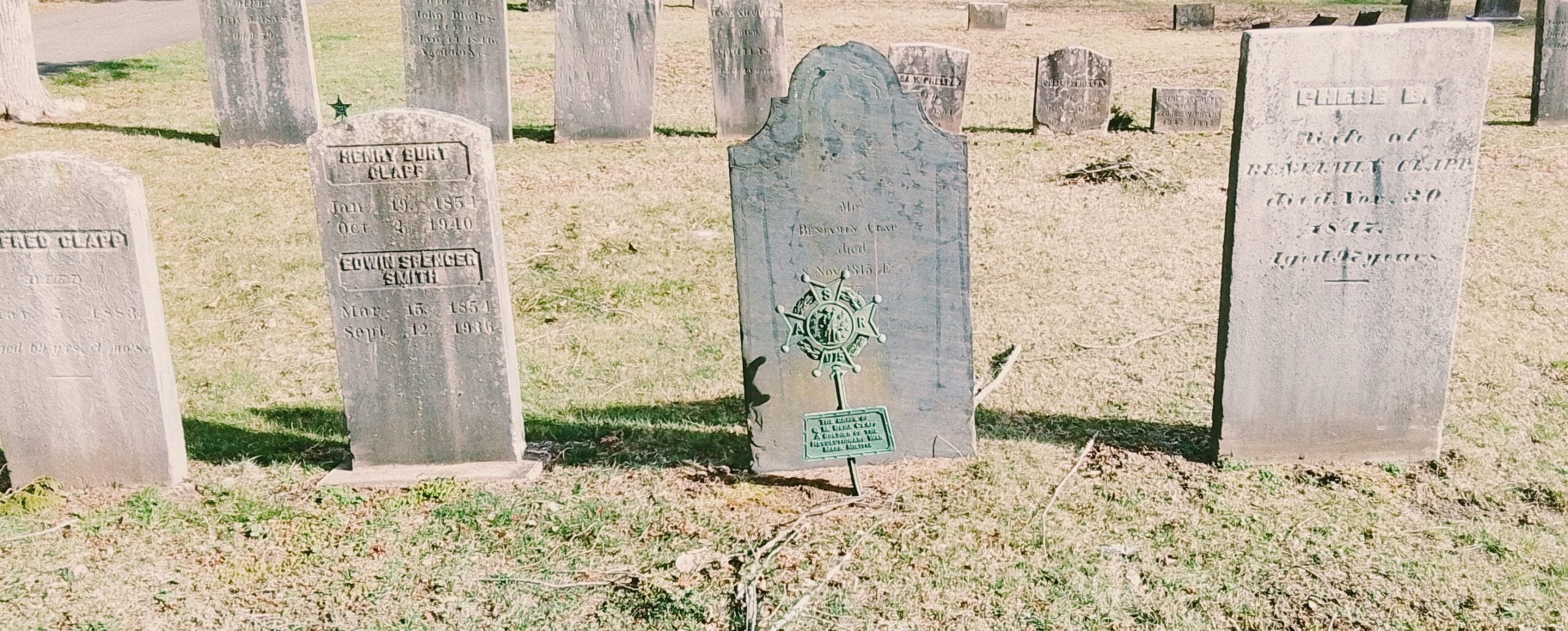
Disinterments from the Old Center Cemetery
There was once an older cemetery in Easthampton and it was across from the Williston Seminary. It started about the 1750s and lasted to about 1865 when it was moved into this cemetery. There are positioned around the holding tomb in the back of the cemetery.
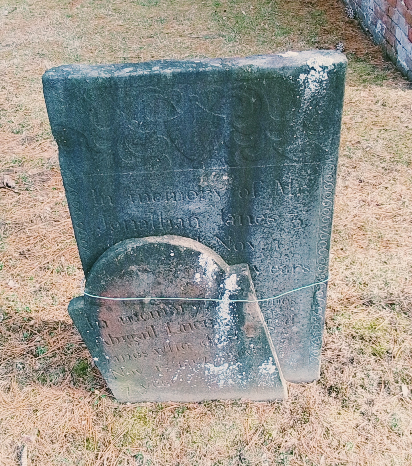
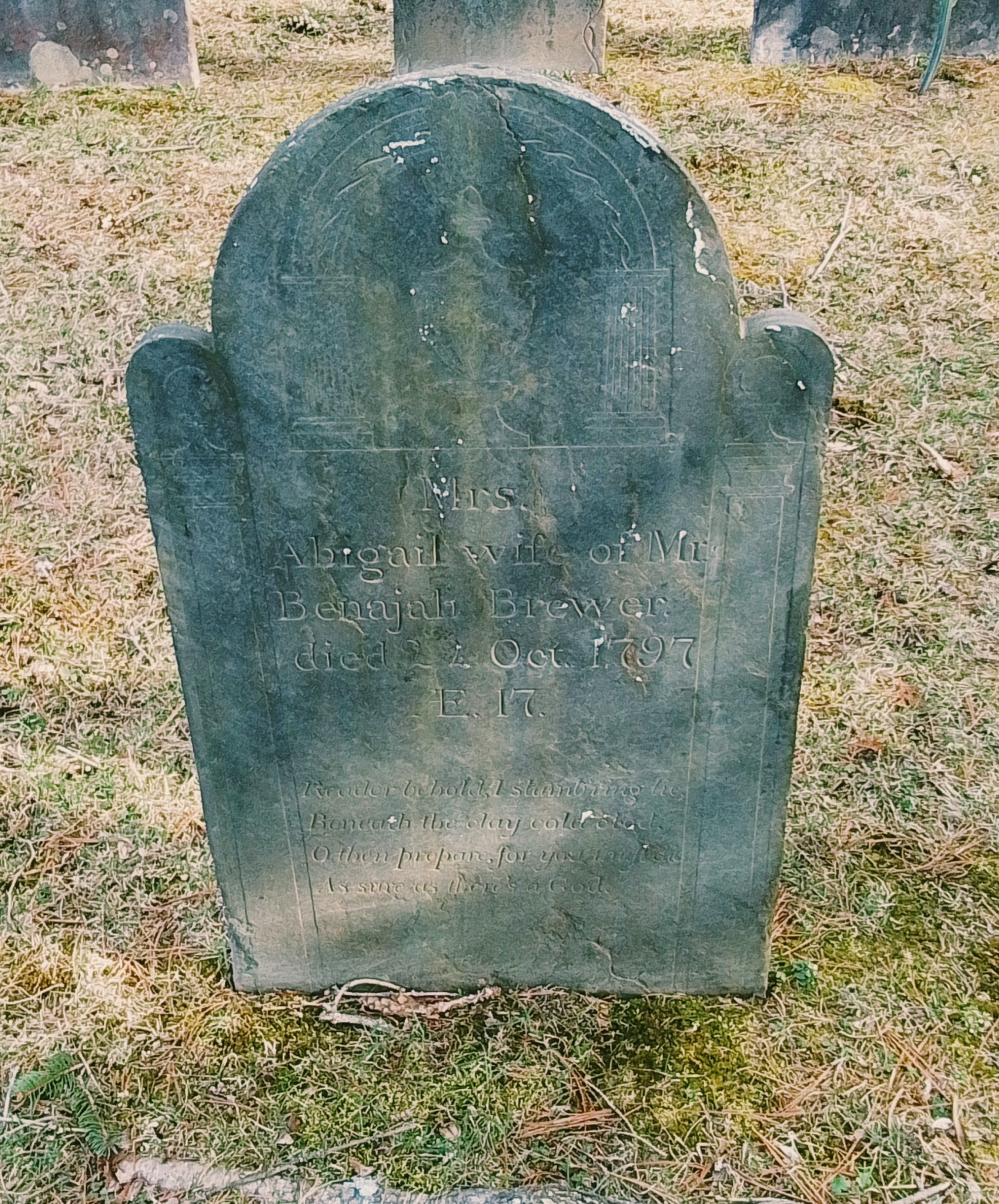
Seth Janes
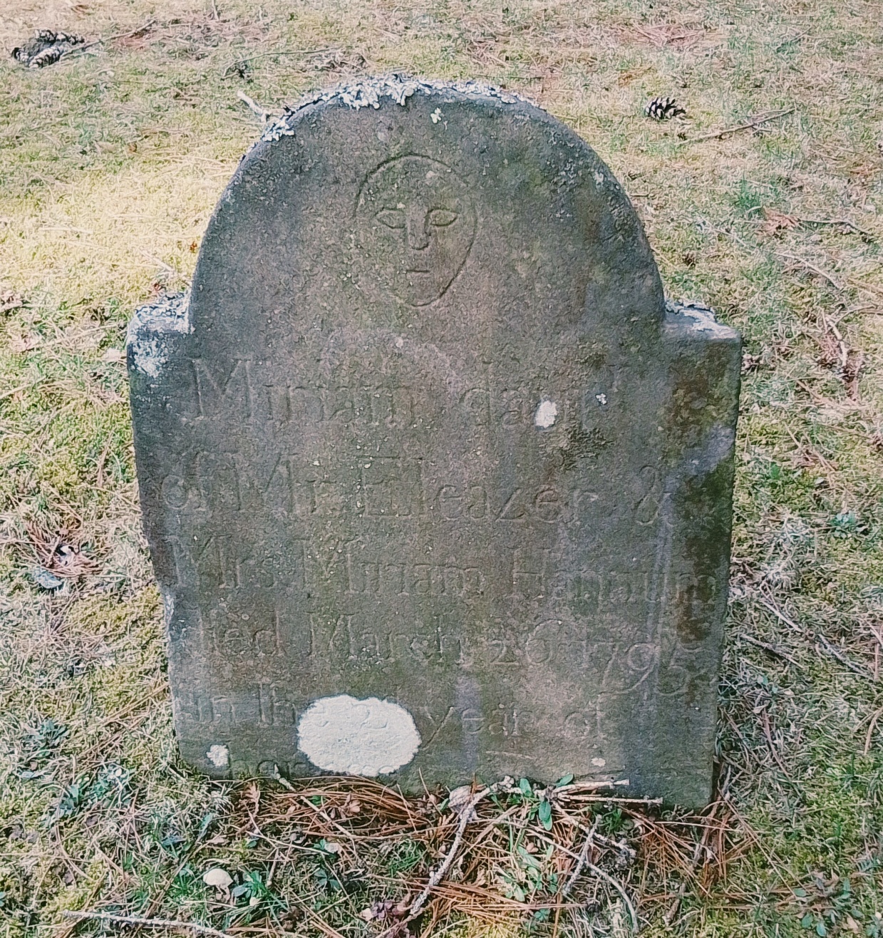
Miriam Hannum
Luke Packard
Cremation area
CPA of Easthampton
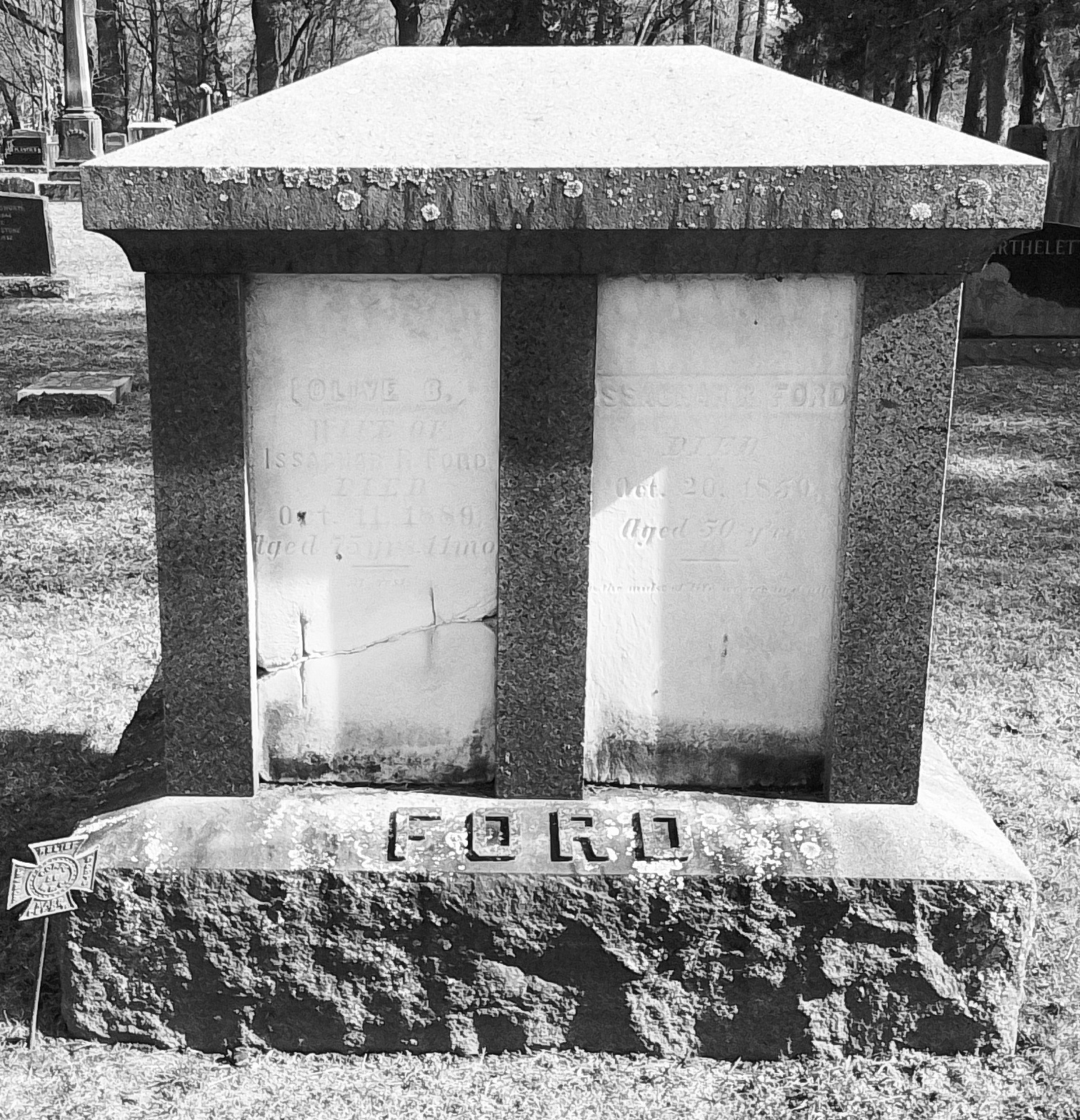
Ford plot
Ferry family plot
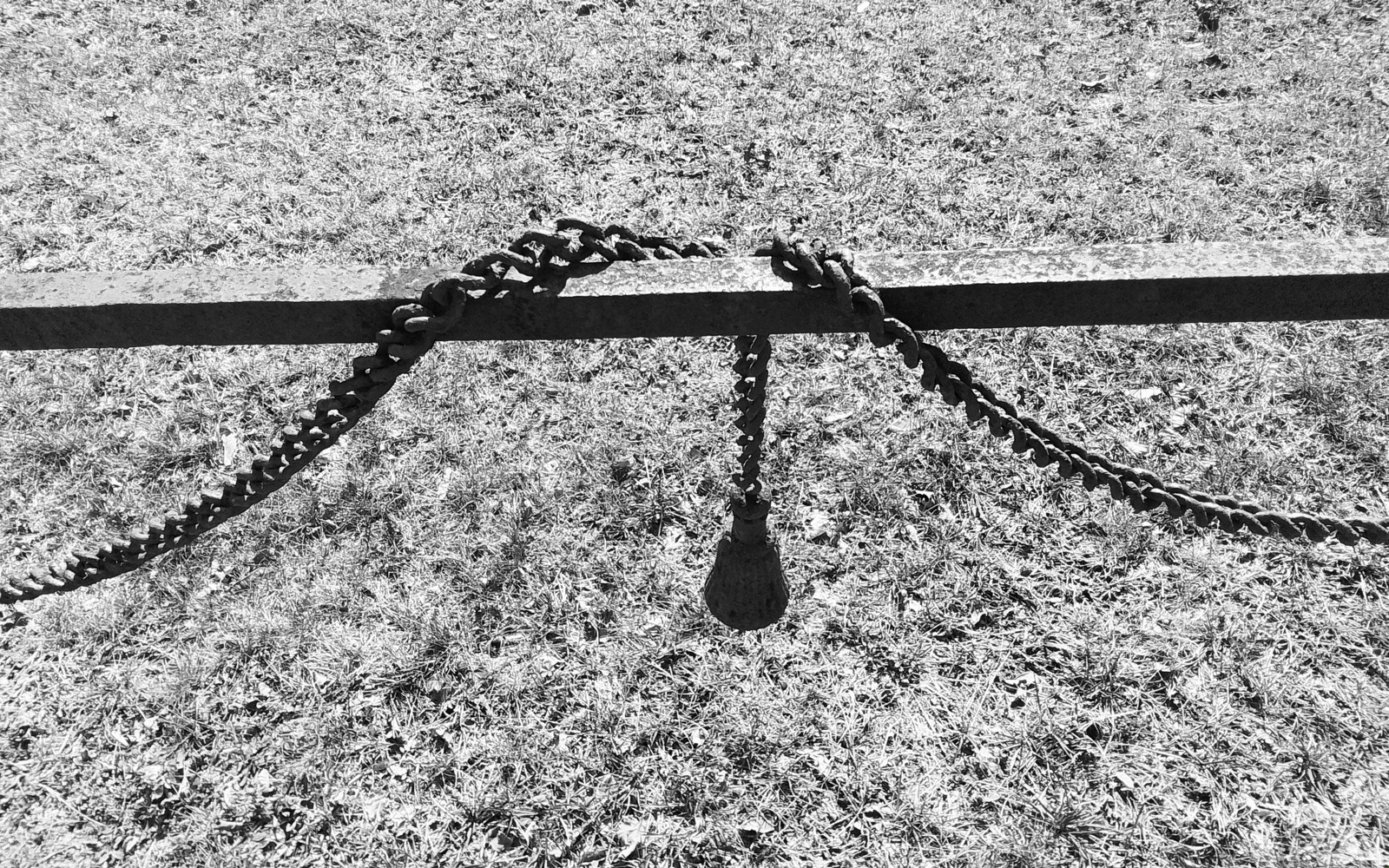
and spouse Submit Strong Clap
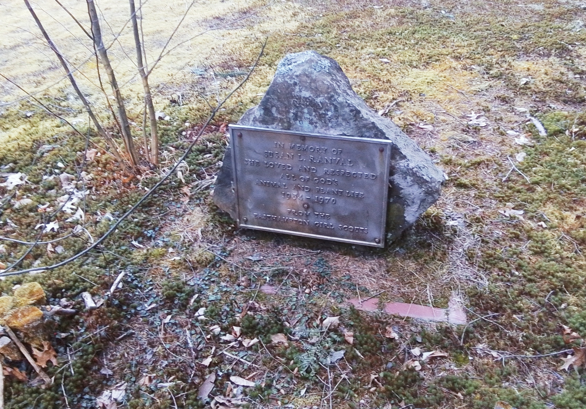
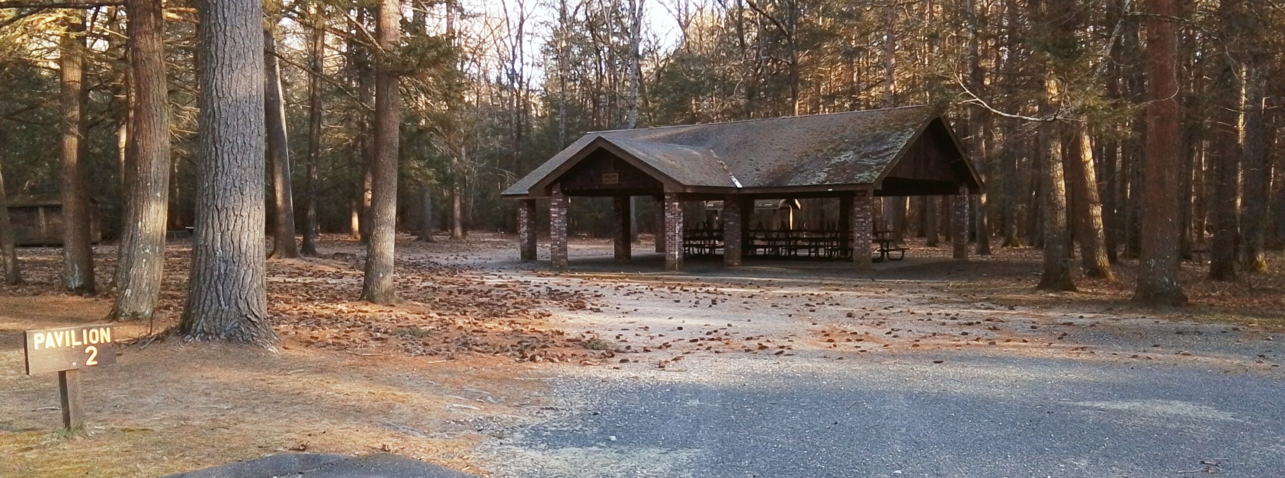
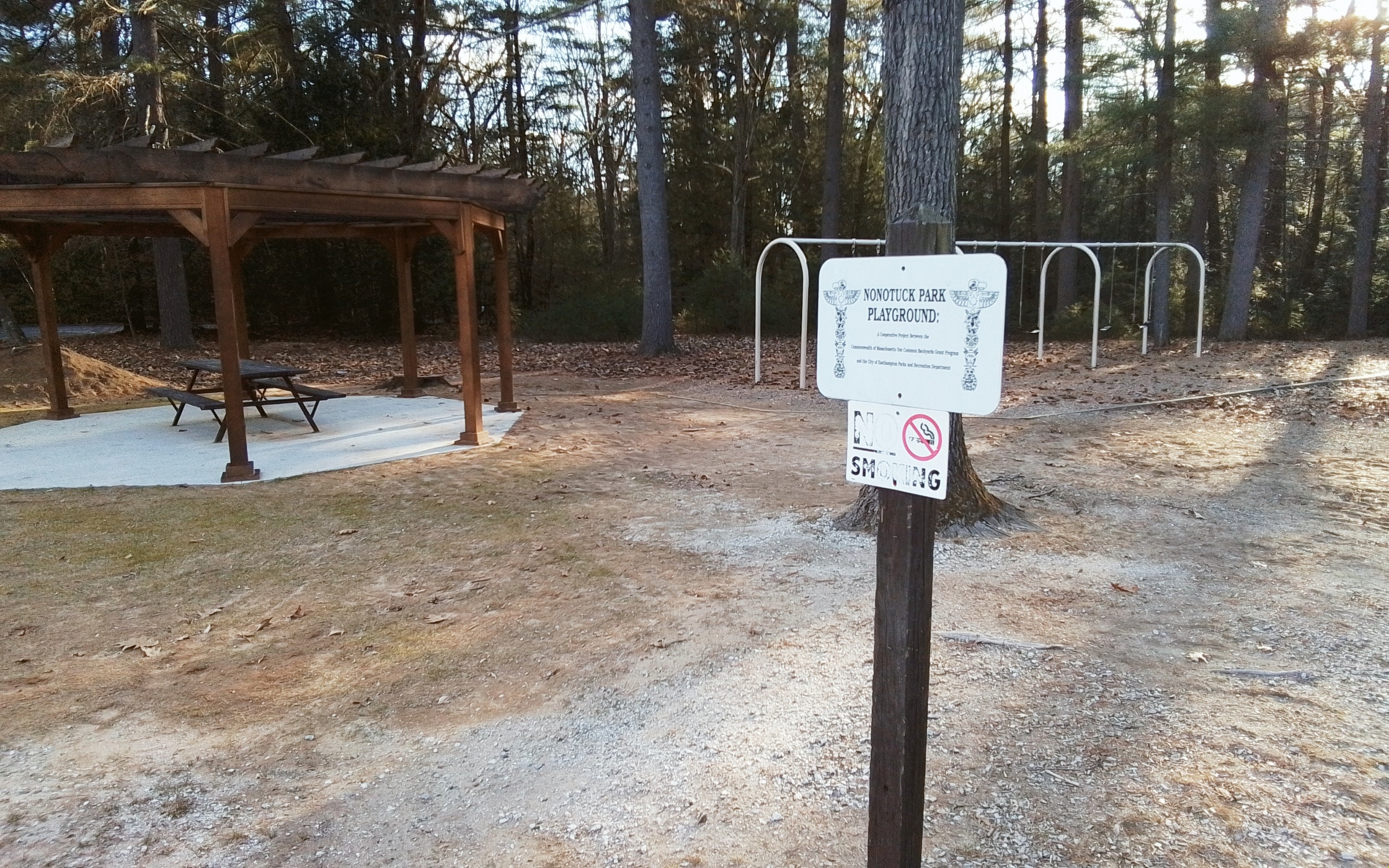
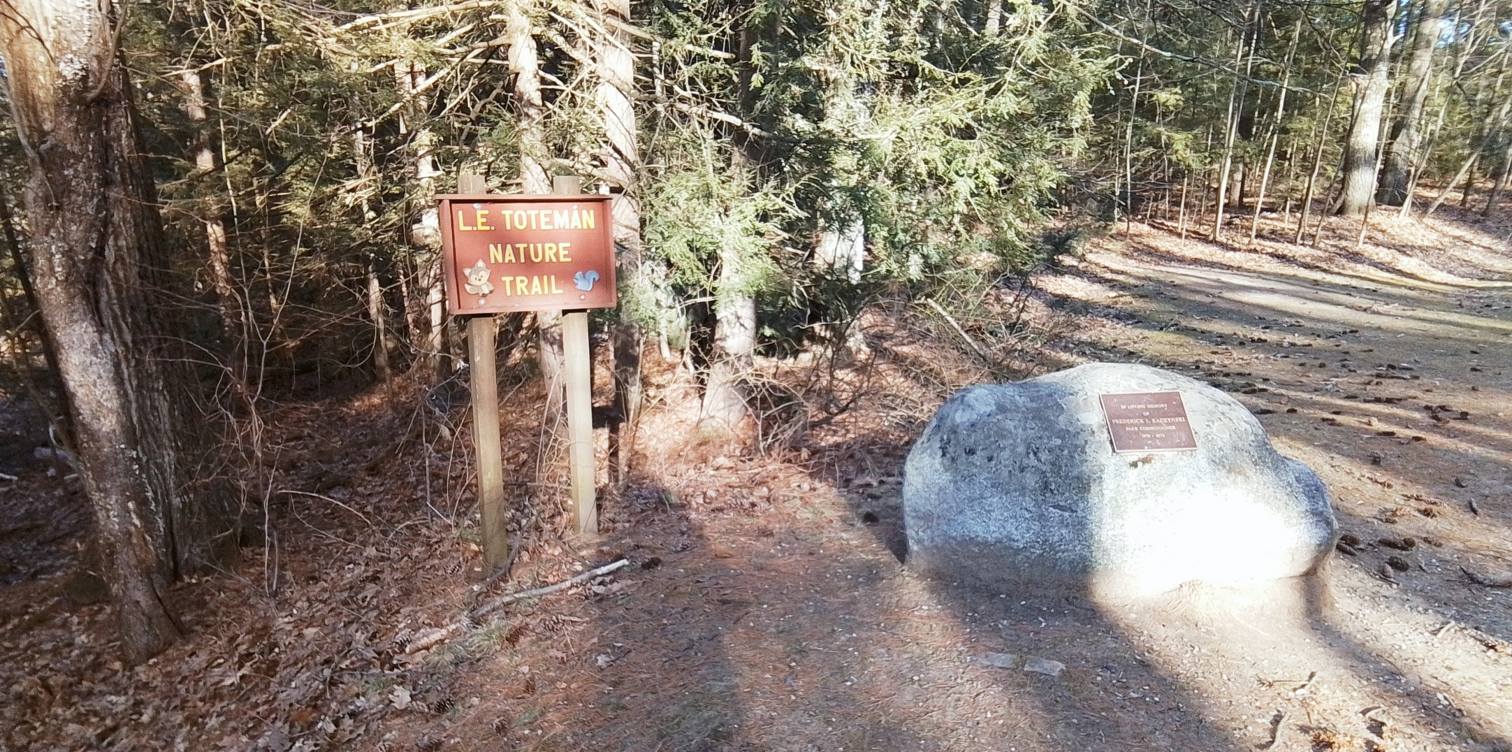
Nonotuck Park
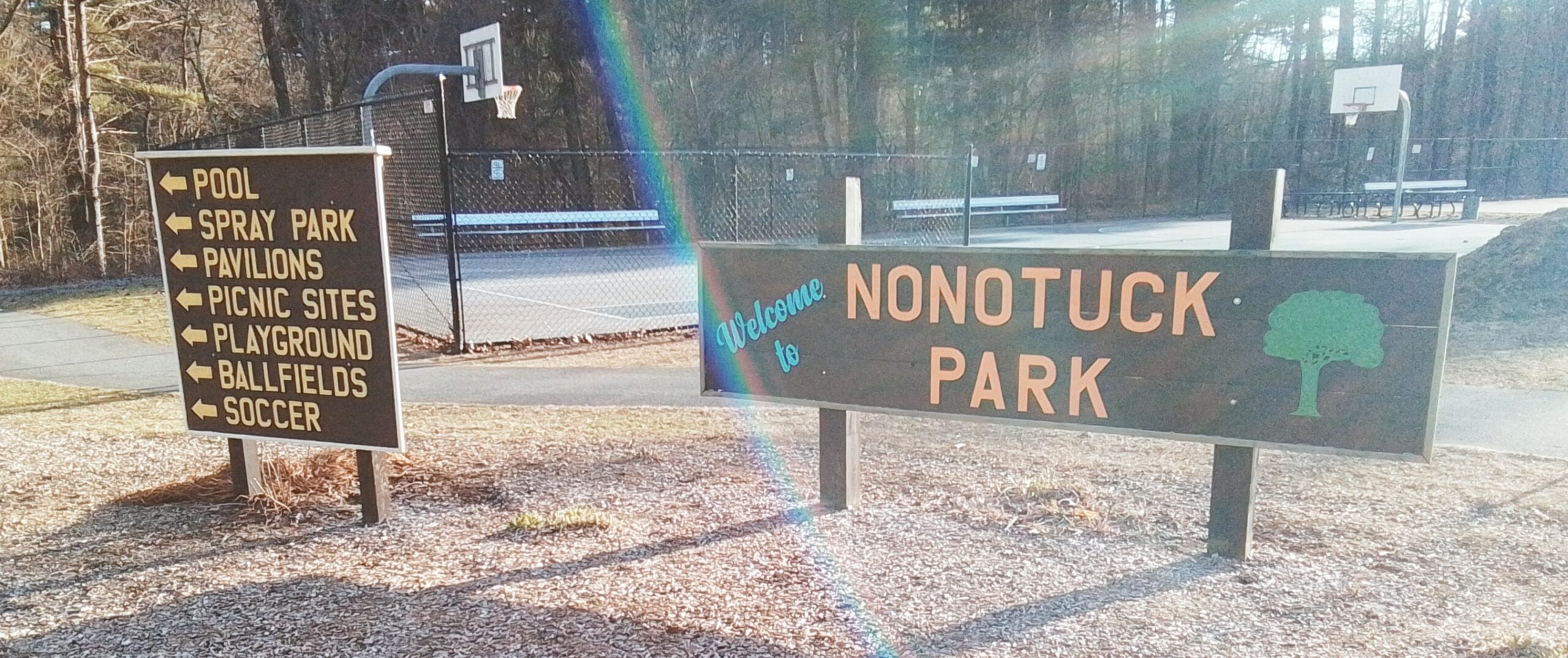
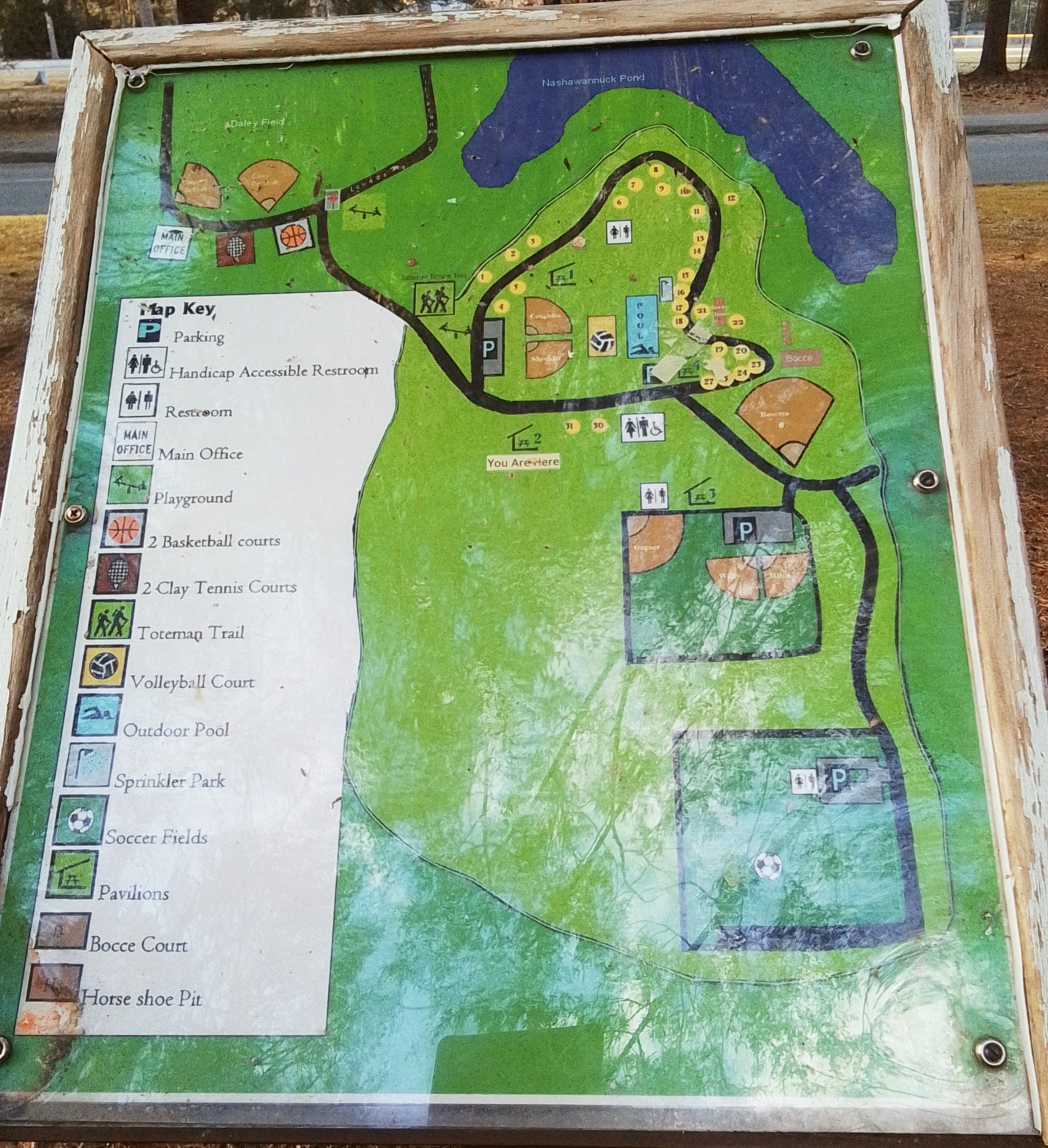
Nonotuck Park is a large park in Easthampton Massachusetts. Two brooks flow through it – White Brook and Broad Brook. It has many features both within the park and just outside the park.
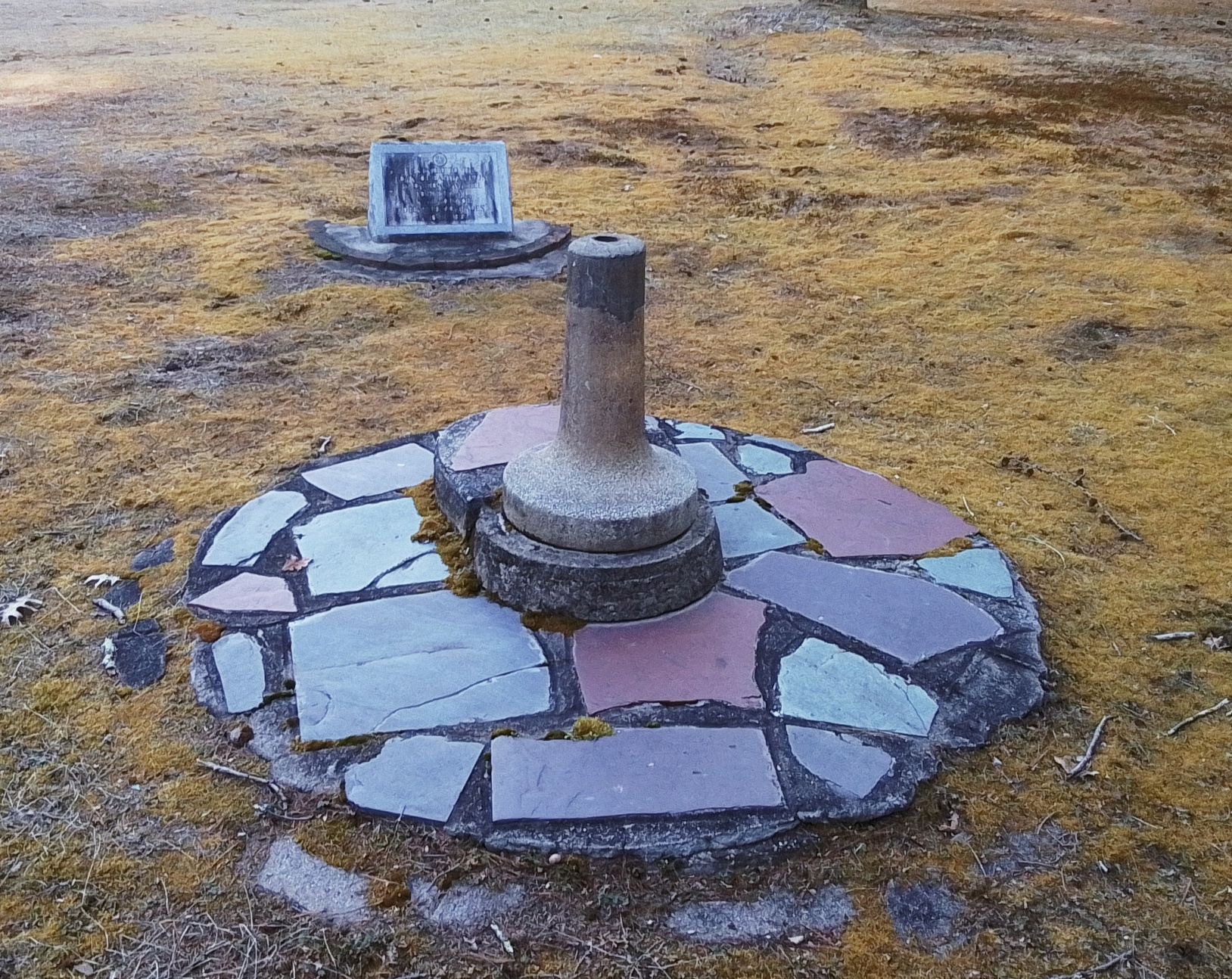
Daley Field
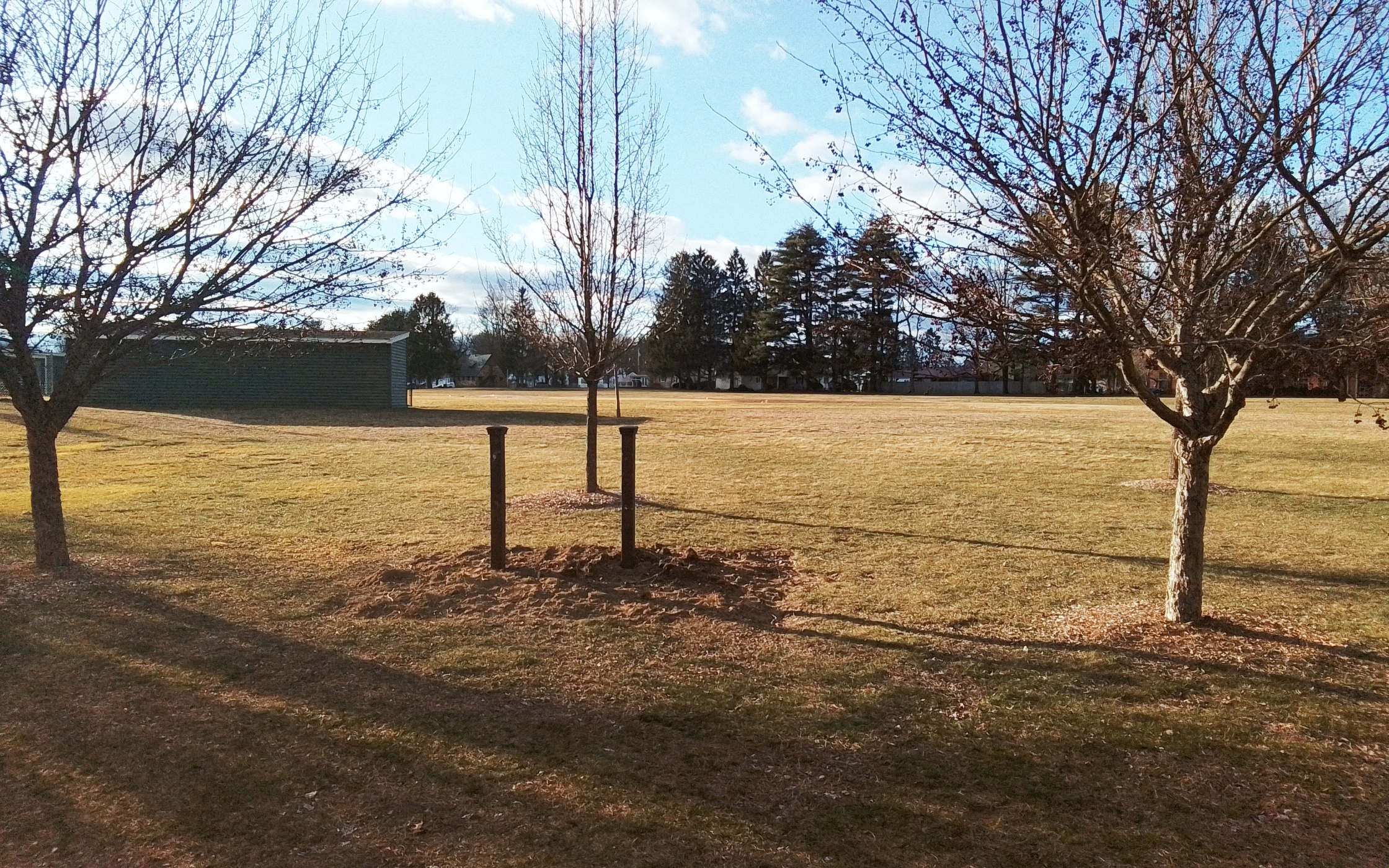
This land was purchased in 1923 for a new public field. Daley Athletic Field was dedicated June 14 1925. WPA projects in the park include the stone posts, the rest rooms, improvements to the baseball diamond, and walkways.
Nonotuck Park –
Playgrounds
Toteman Nature Trail
the Frederick Kaczynski memorial is nearby
Baseball Fields
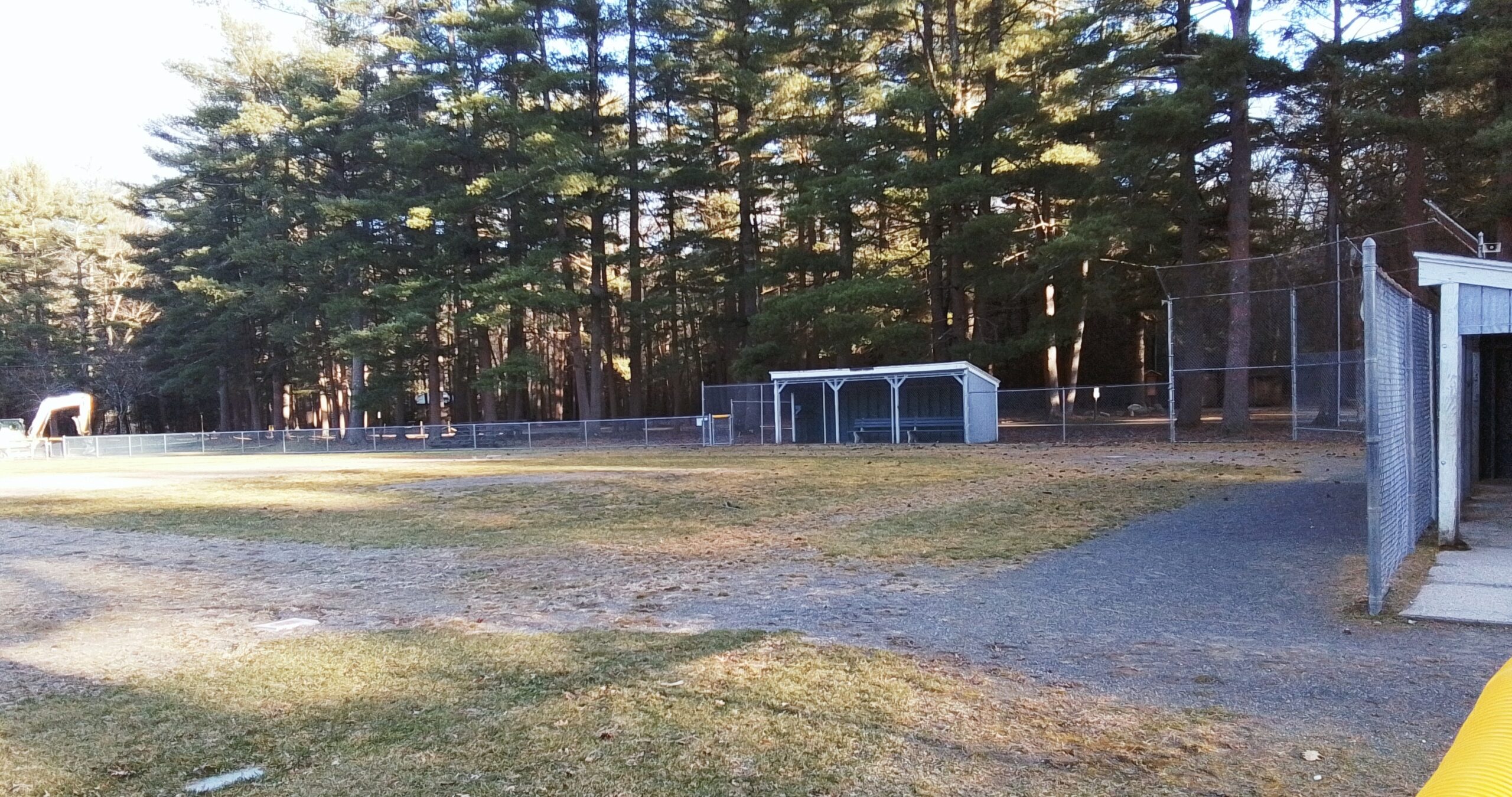
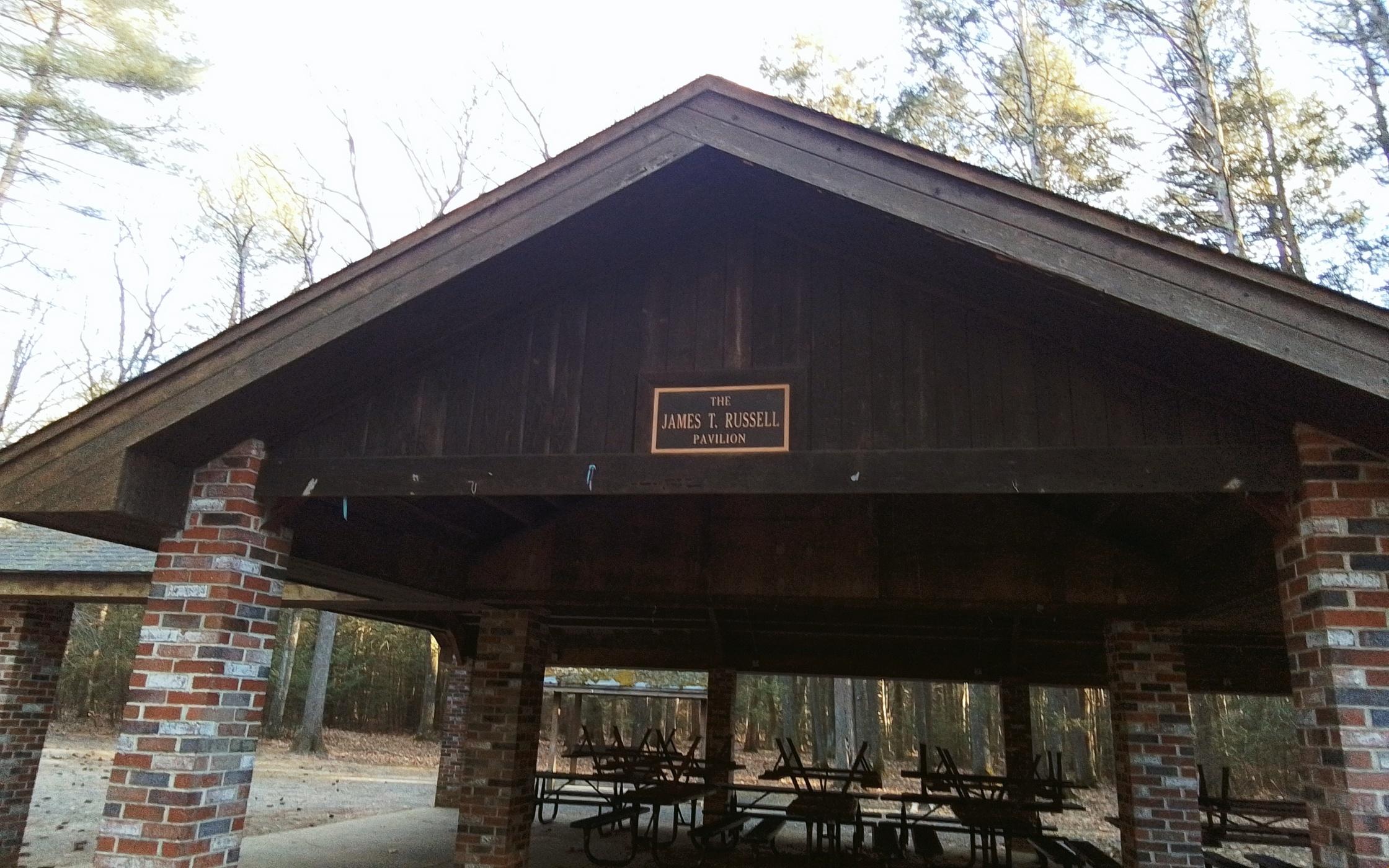
Pavilion
Galbraith Park –
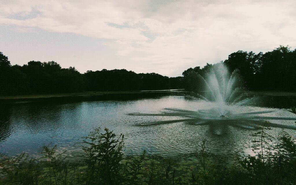
Nashawanuck Pond – This is a reservoir since it is dammed and would not exist without being so. It was once called Upper Mill Pond.
External LINK on the pond
Brookside Cemetery – The cemetery is from about 1874. LINK
White Brook –
Whitebrook Middle School –
Broad Brook –
Neighborhood of the Park –
Water Lane – This street on the eastern side of Nashawanuck Pond had a boathouse, clubhouse, and a beach.
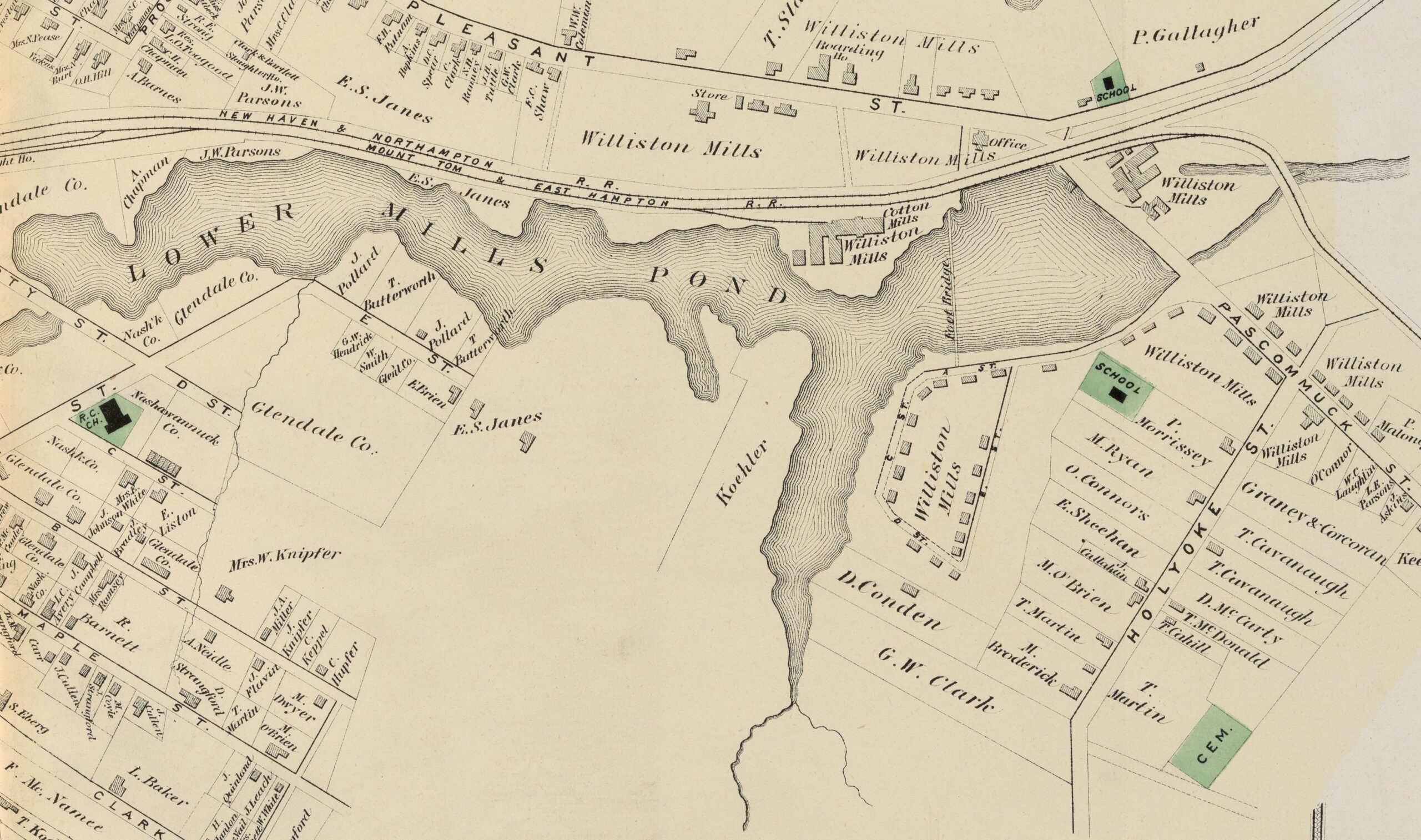
Lower Mill Pond
Park in Millside Park.
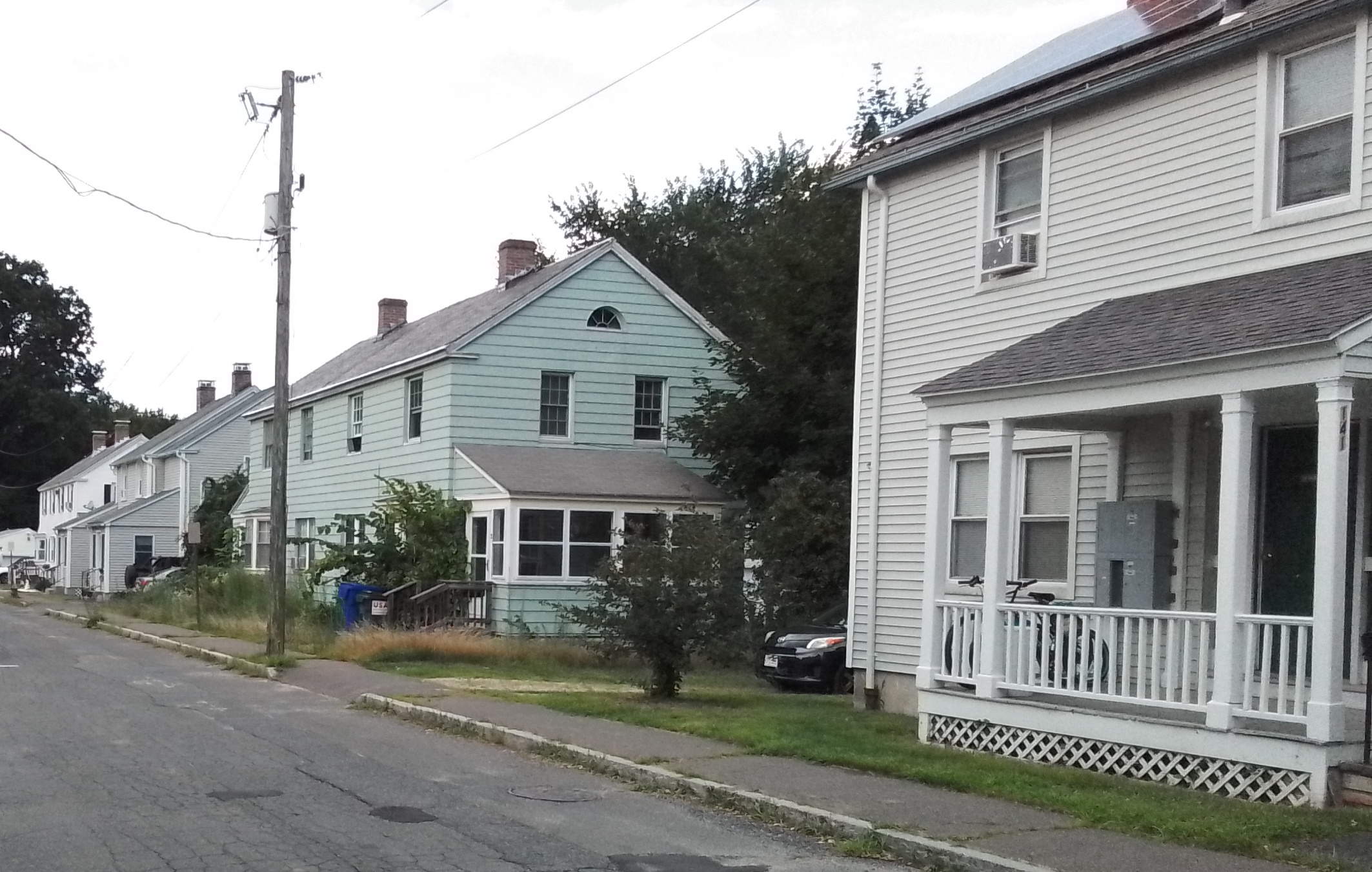
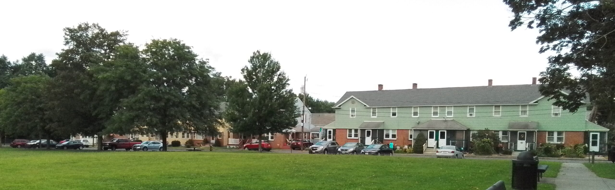
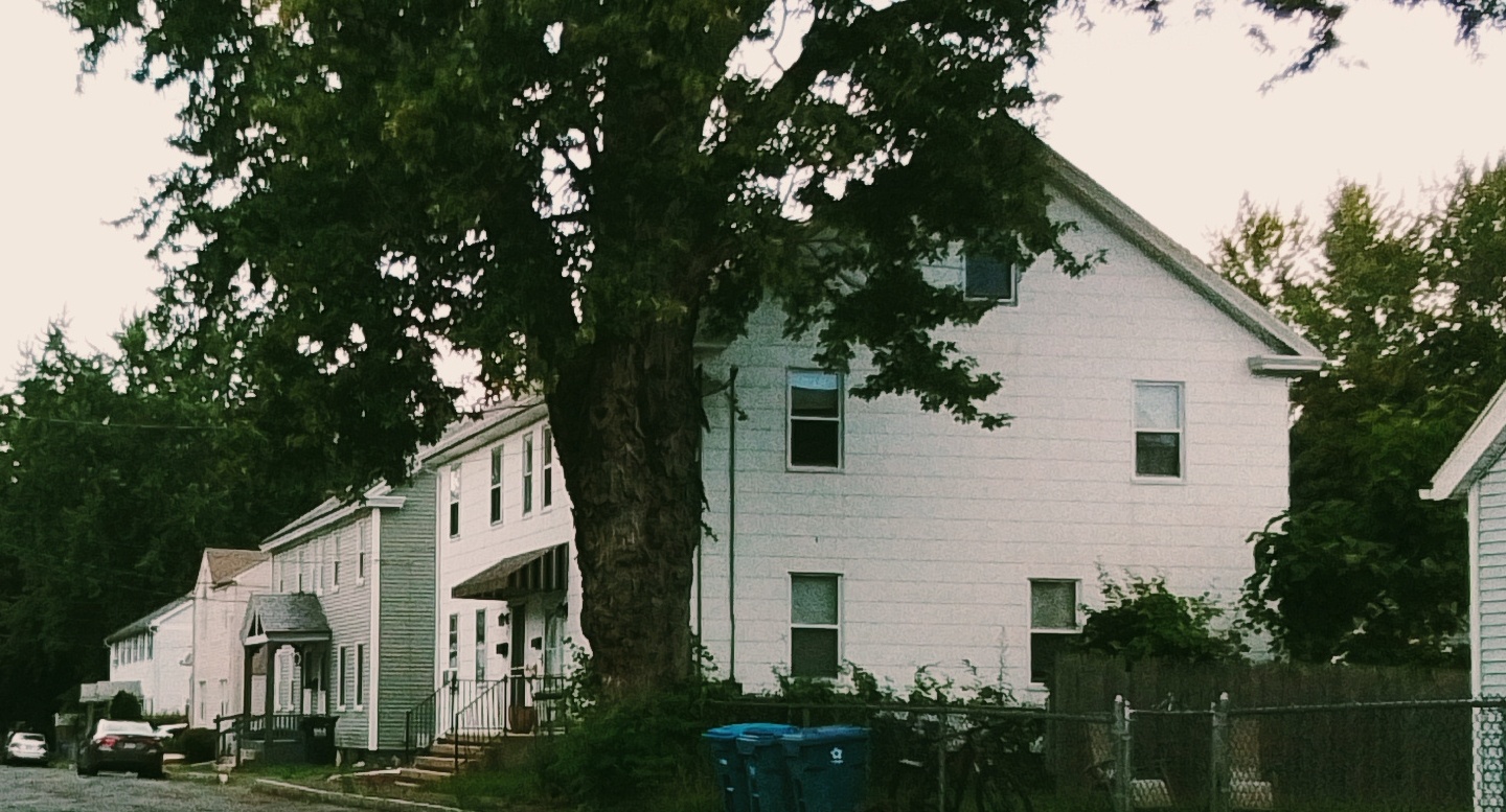
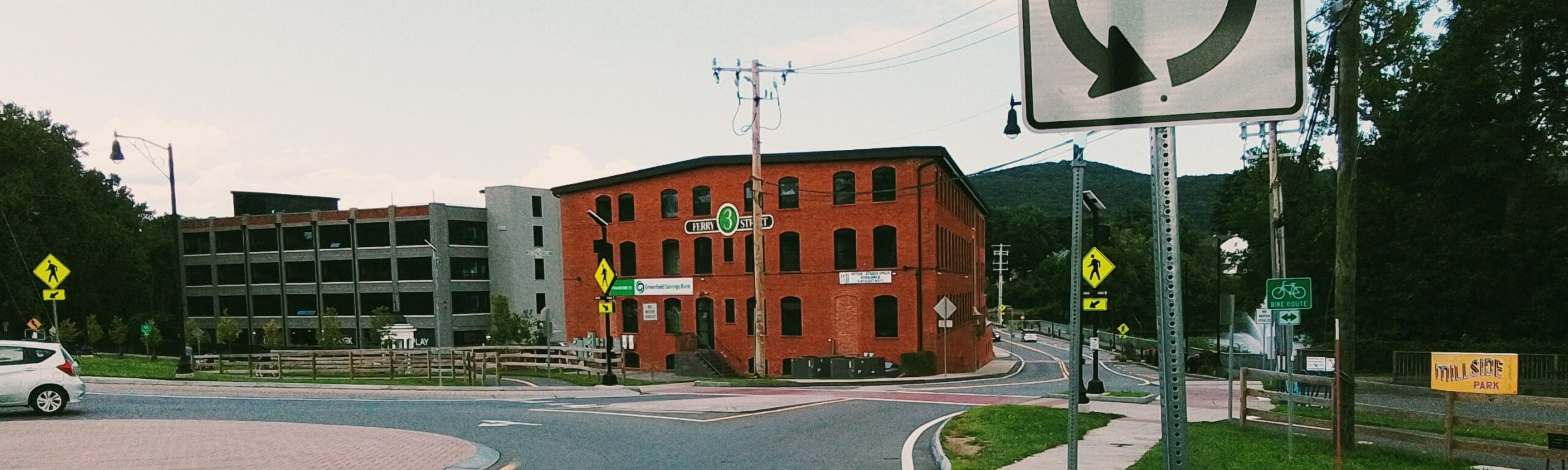
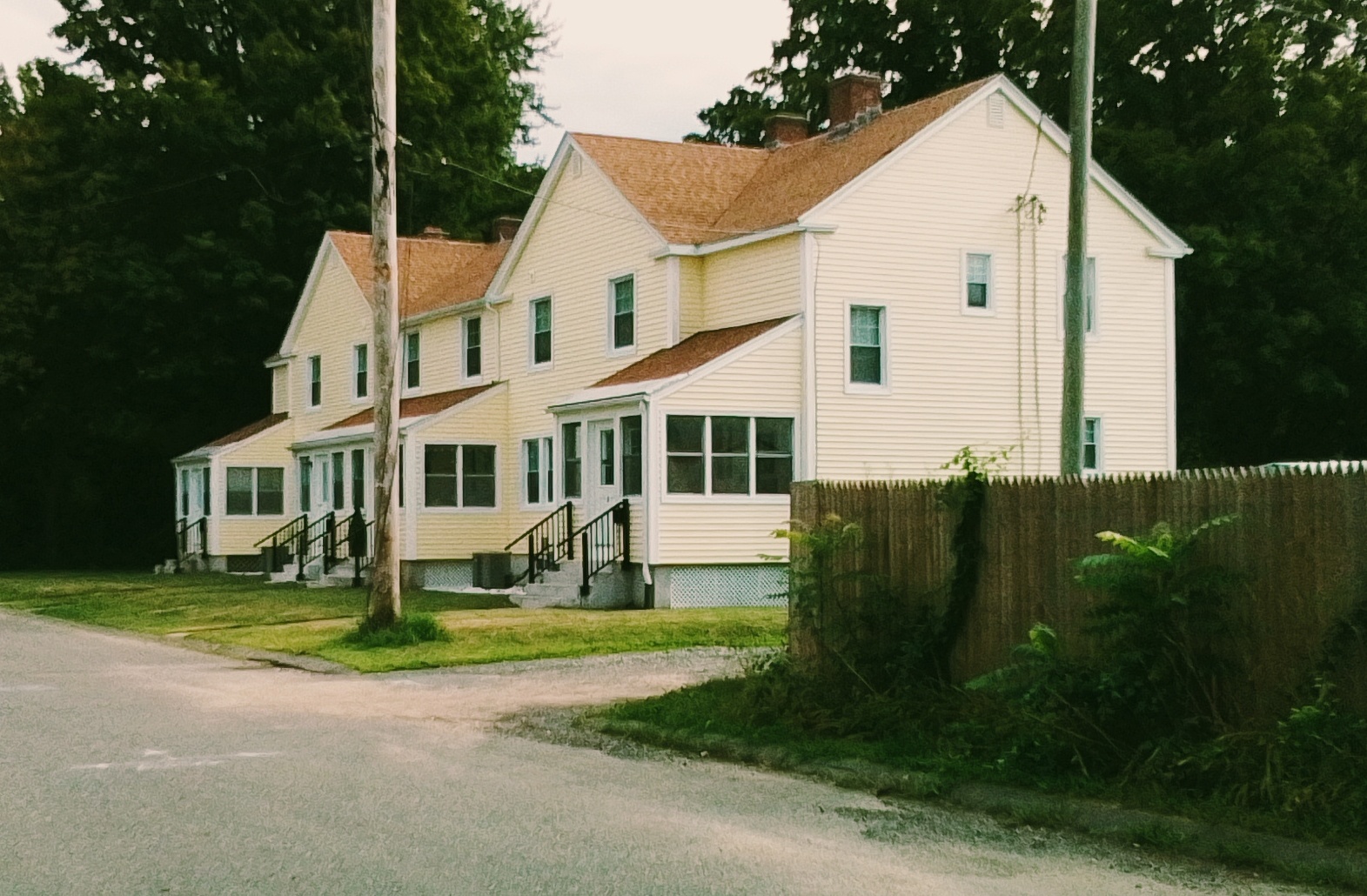
Lower Mill Pond is a reservoir in Easthampton that has old mills and workers’ homes along it. The Williston Mill is still there but has added to it the Hampton Mills. Along the western edge of Lower Mill Pond is the former West Boylston Mills. The first workers’ homes New City are bounded by Emerald Place, Ferry Street, and Parsons Street. The second workers’ homes Hampton Terrace are off Pleasant Street between the Pleasant Green and Terrace View. The third workers’ homes Everett Street Village are on Everett Street and Grant Street.
stop 0 – Lower Mill Pond
stop 1 – Back of the West Boylston Mills
| mill | |||
| 1 | 1902 | Advertising Corp of America | |
| 2 | 1931 | ||
| 3 | 1901 | Paragon Rubber / American Character Doll | |
| 4 | 1907 | mostly Lesnow | |
| 5 | 1912 | ||
| 6 | 1916 | Stanley Home Products | |
| 7 | 1916 | wastehouse | |
| 8 | 1916 | storehouse | |
| 9 | recent |
stop 2 – Front of the West Boylston Mills
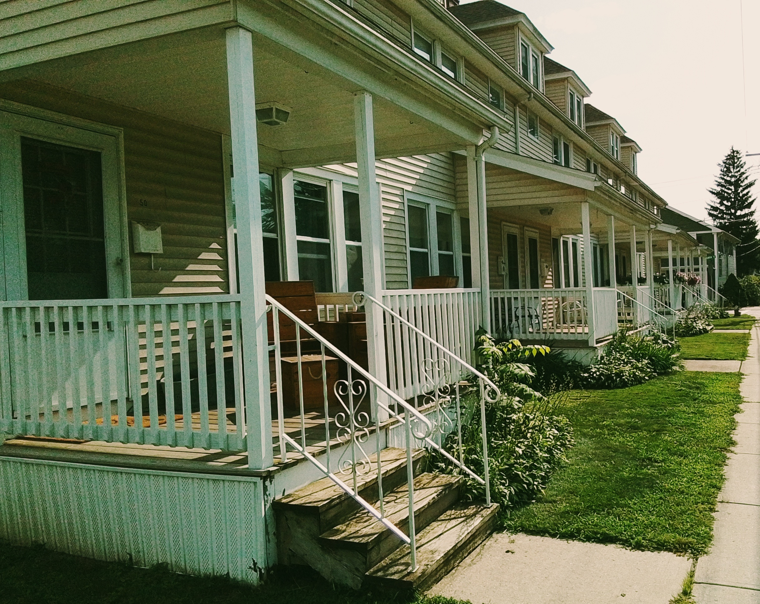
stop 3 – Hampton Terrace and Pleasant Green
Most of these homes are from 1920.
stop 4 – Williston Mill
stop 5 – Hampton Mills
stop 6 – Lower Mill Pond Dam and the Broad Brook
The Broad Brook is dammed at this location. Thus Lower Mill Pond is a reservoir. The water is diverted into the tunnel to the right and meet the powerhouse there.
stop 7 – New City
The oldest homes are 1860s and are located on Ferry, Emerald, and Lincoln. When West Boylston arrived they made more in 1903 – on Harrison and Oakdale. Later in 1920 more were made – on Dartmouth, Exeter, Federal, and Clinton.
stop 8 – Everett Street Village
This Everett Street area was constructed in 1917 to 1918 as homes for mill workers.
| Sanborn | ||||
| 1884 to 1902 | all nothing | |||
| 1910 | nothing | nothing | nothing | New City |
| 1916 | WB Mills | WB Mills | Ferry St Mills | New City |
Orchards Golf Course
The Orchards Golf Course in South Hadley was founded in 1922. Joseph Skinner had the course made for his daughter.
Skinner Silk Trail
The Skinner Silk Trail is a composite of the institutions that define the Skinner family of Holyoke and South Hadley. It follows the important sites that William Skinner and then Joseph Skinner created and lived in.
| institution | location | TOUR LINK | External Link |
| Wistariahurst | Beech Street in Holyoke | TOUR LINK | link |
| Skinner Chapel | Maple Street in Holyoke | TOUR LINK (last stop only) | link |
| Holyoke Heritage State Park | Appleton Street in Holyoke | TOUR LINK | link |
| Skinner State Park | summit of Mount Holyoke the mountain | TOUR LINK | link |
| Mount Holyoke College | College Street in South Hadley | TOUR LINK | link |
| Orchards Golf Course | Silverwood Terrace in South Hadley | TOUR LINK | link |
| Orchards (home) | Woodbridge Street in South Hadley | TOUR LINK | link |
| Joseph Skinner Museum | Woodbridge Street in South Hadley | TOUR LINK | link |
| Williamsburg Historical Society | Main Street in Williamsburg | TOUR LINK | link |
| TOUR LINK | link |